Elevation of Par Rd, Franklin, LA, USA
Location: United States > Louisiana > St. Mary Parish >
Longitude: -91.426486
Latitude: 29.7631339
Elevation: 2m / 7feet
Barometric Pressure: 101KPa
Elevation Map:
Satellite Map:
Related Photos:

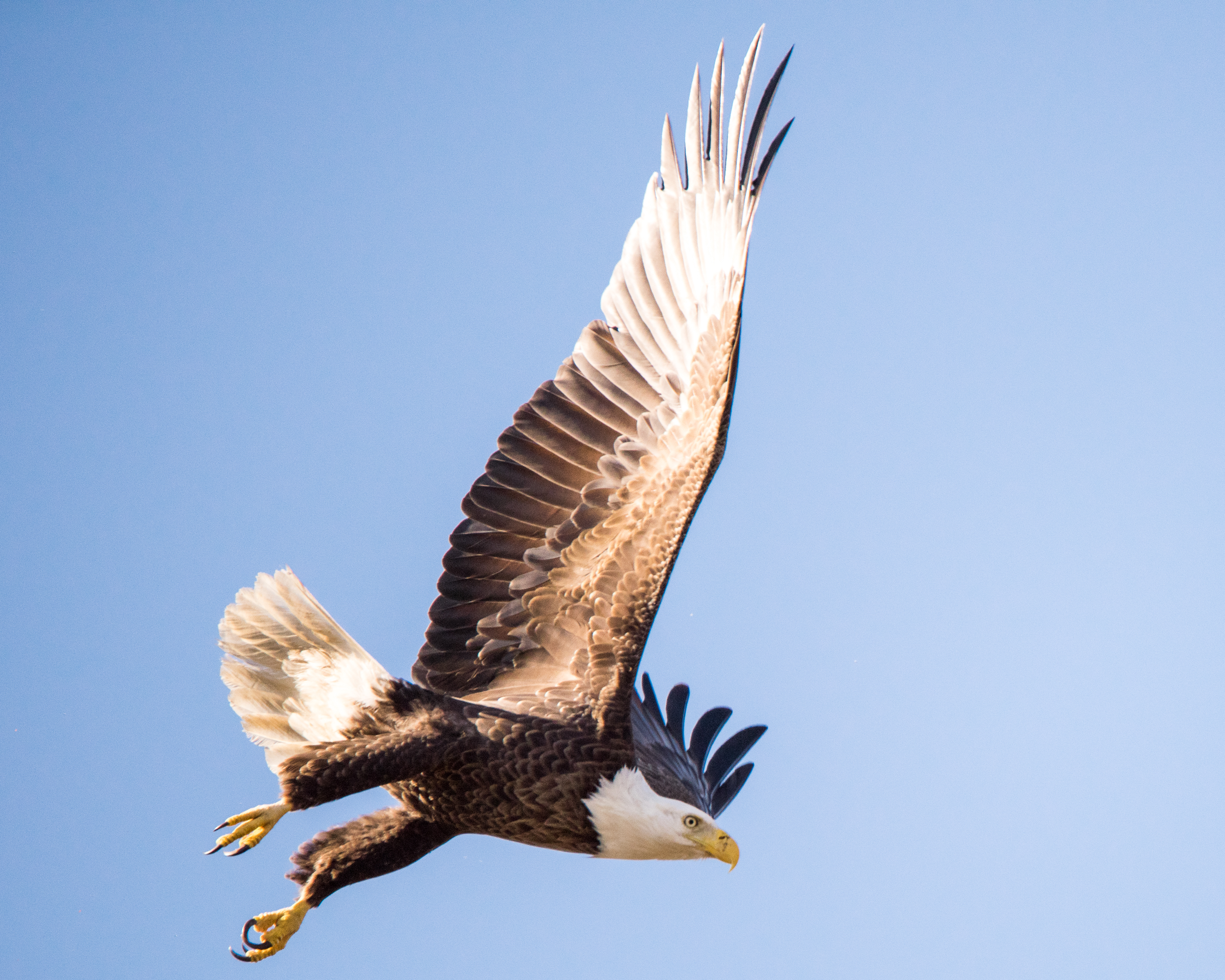
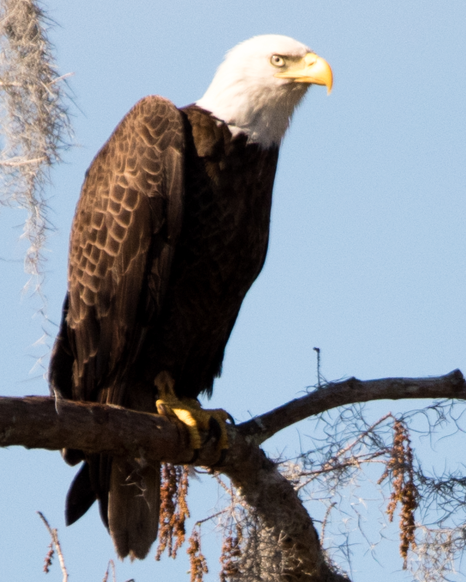
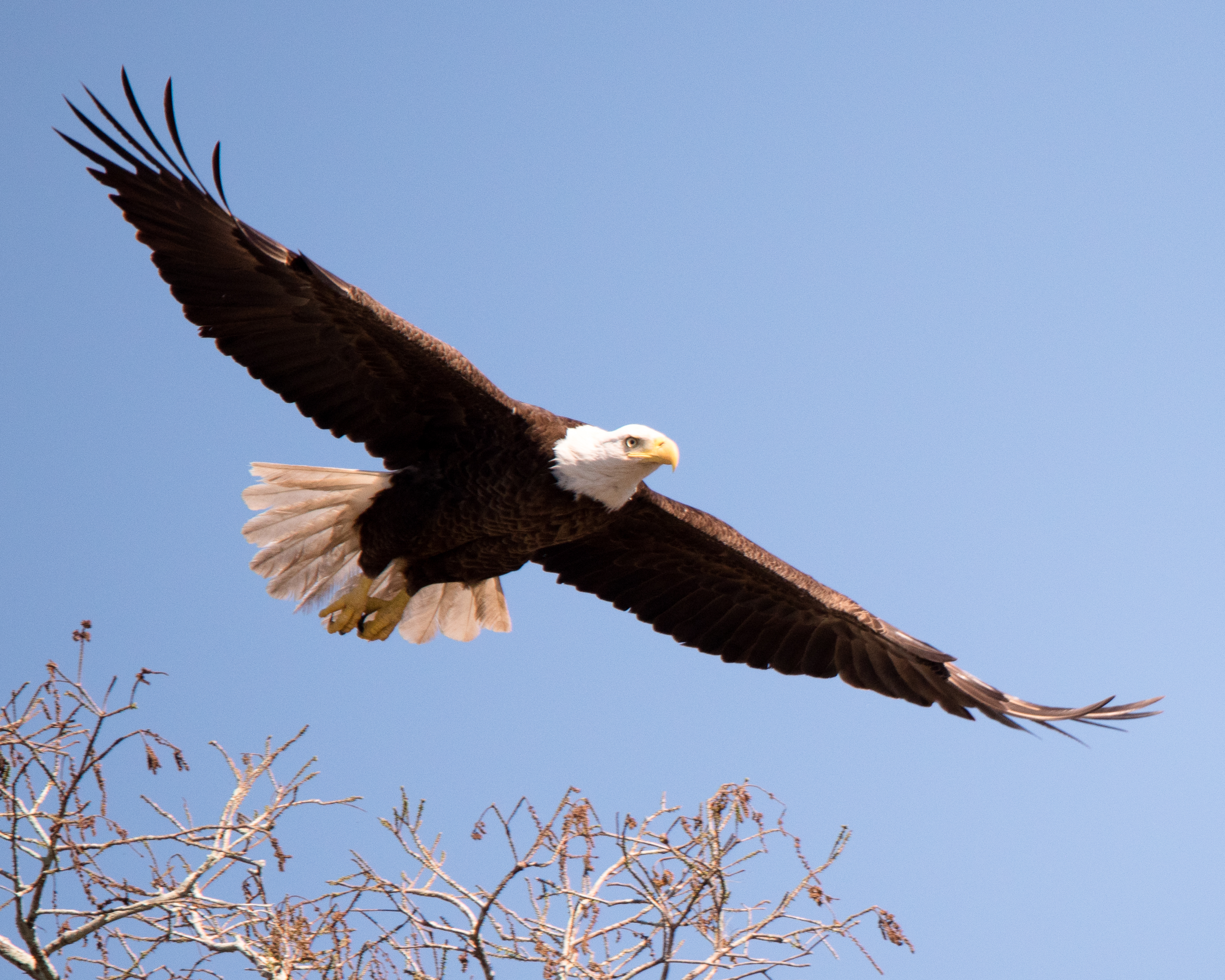
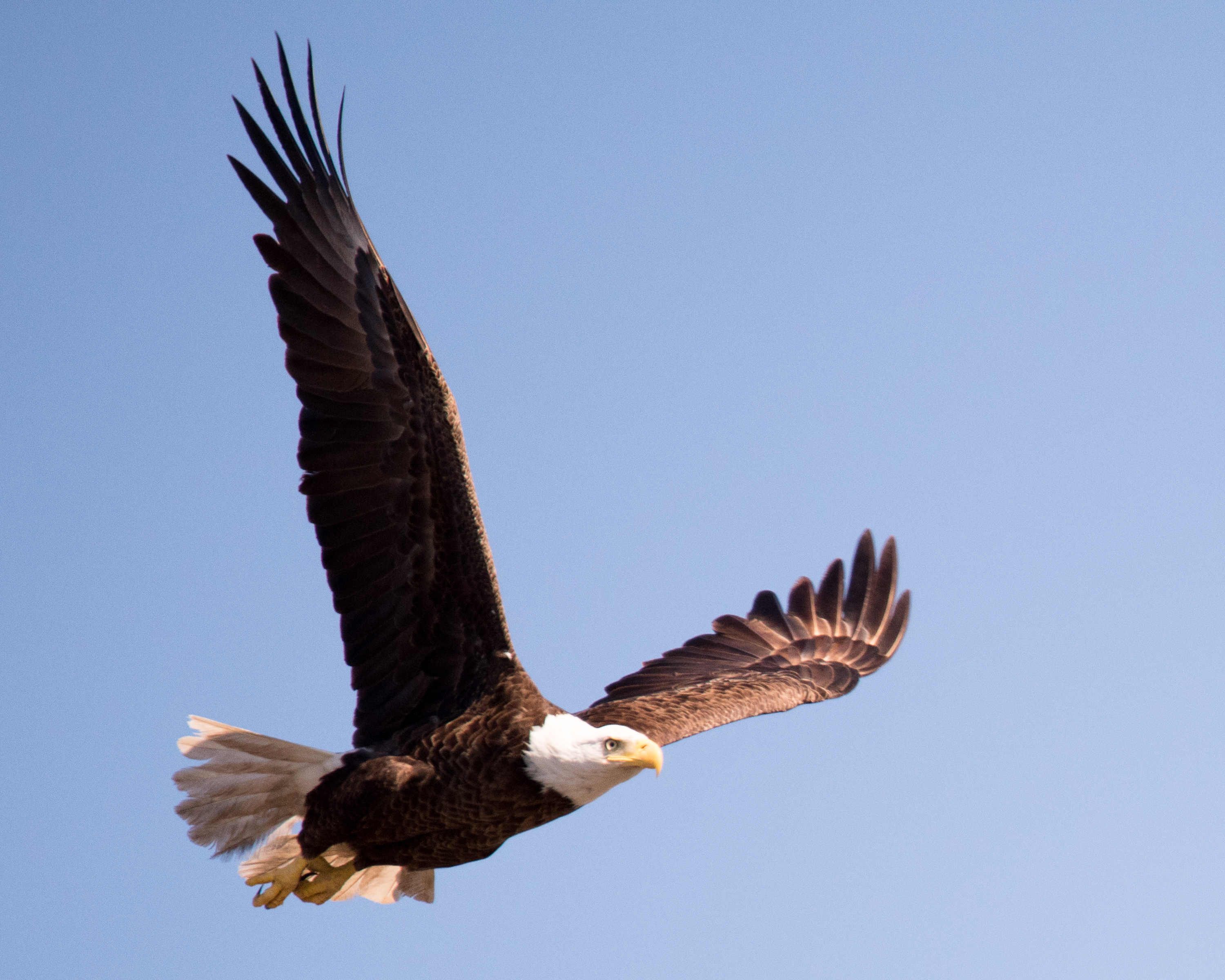
Donald Hahn Senior 2011-37
Patterson, Louisiana
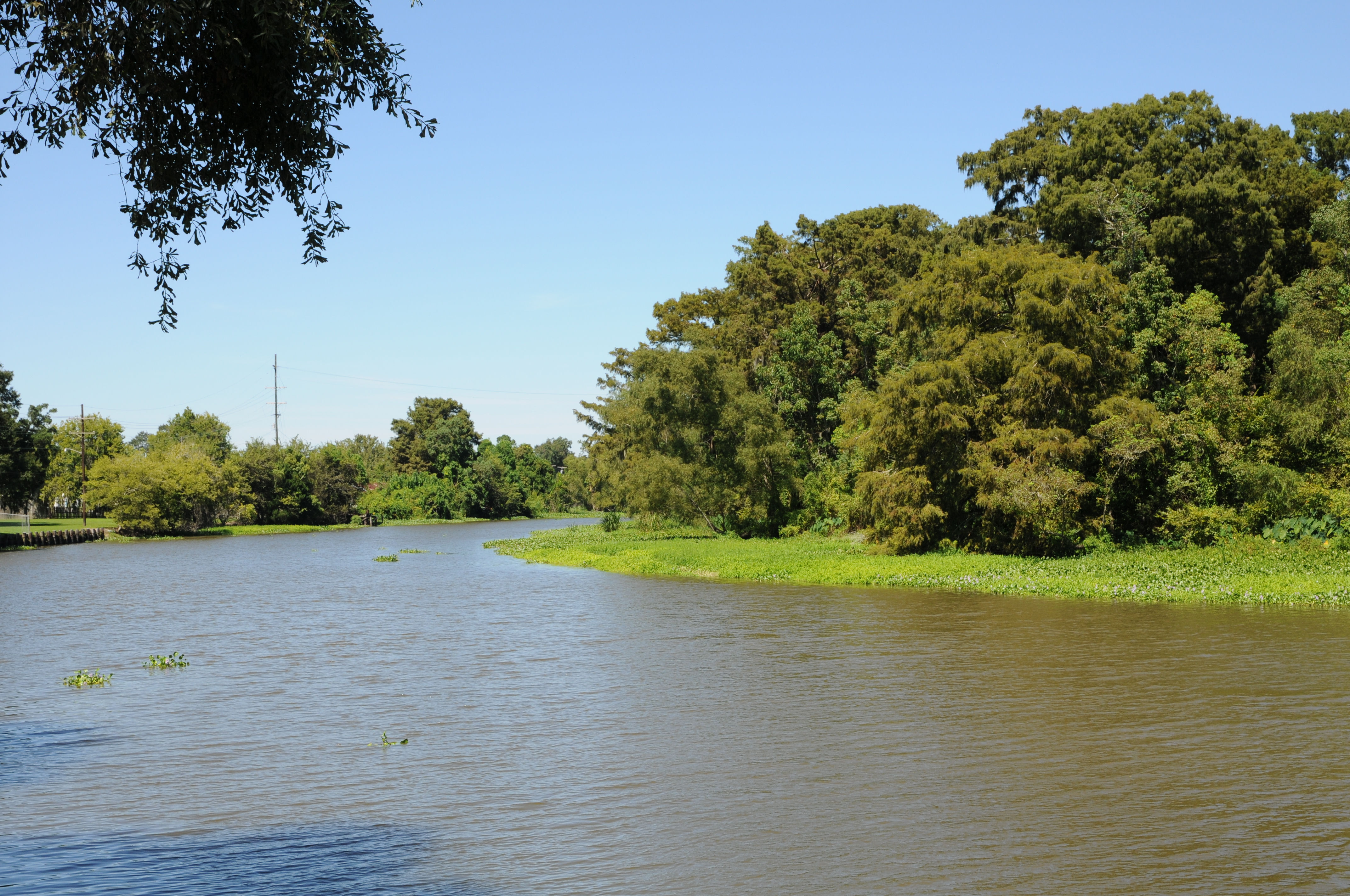
USA 2015 - Franklin - Louisiana 465
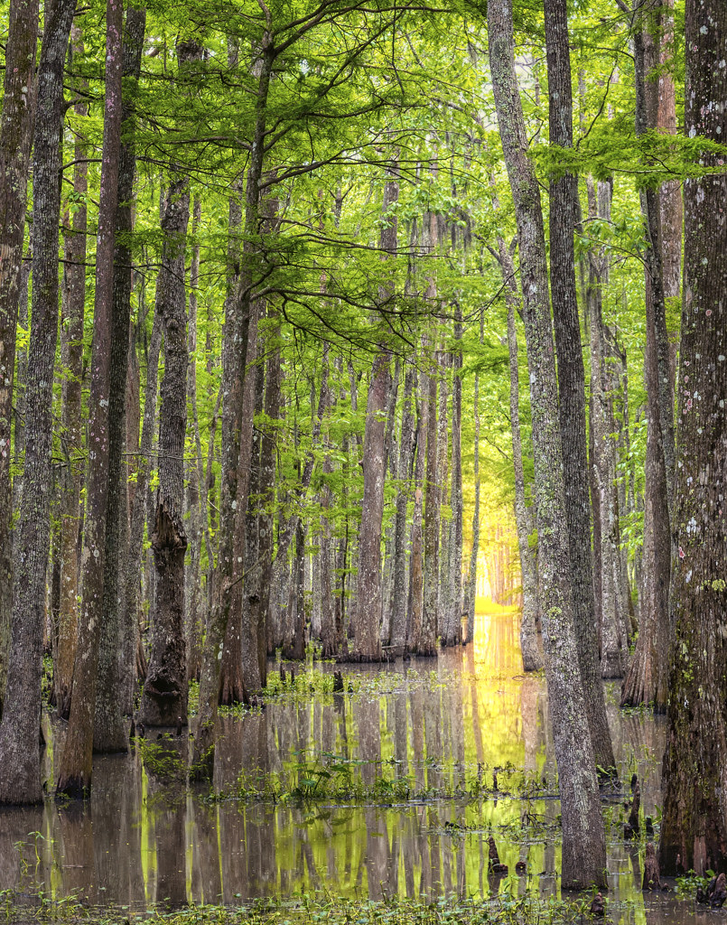
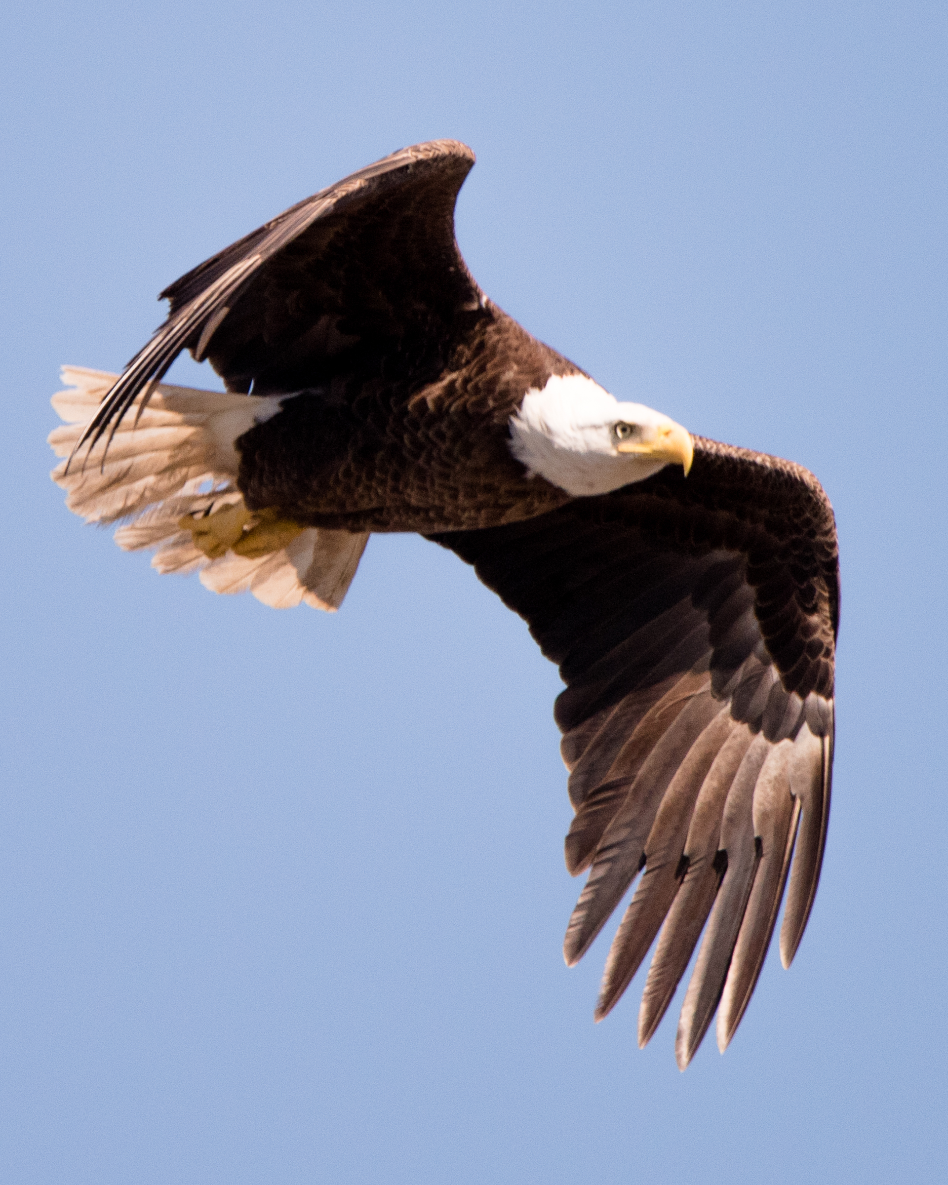
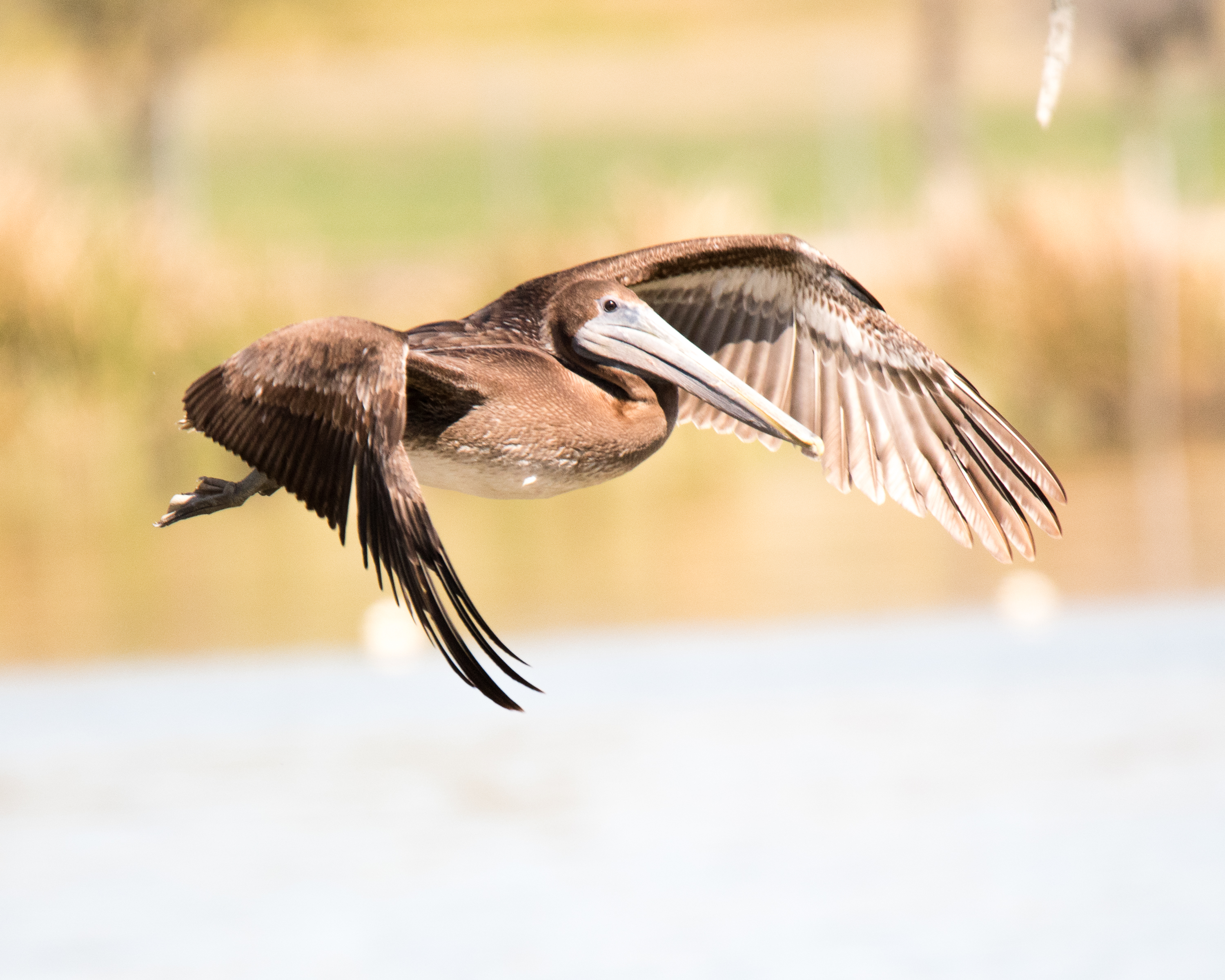
Bayou Teche National Wildlife Refuge swamp
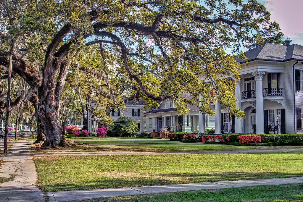
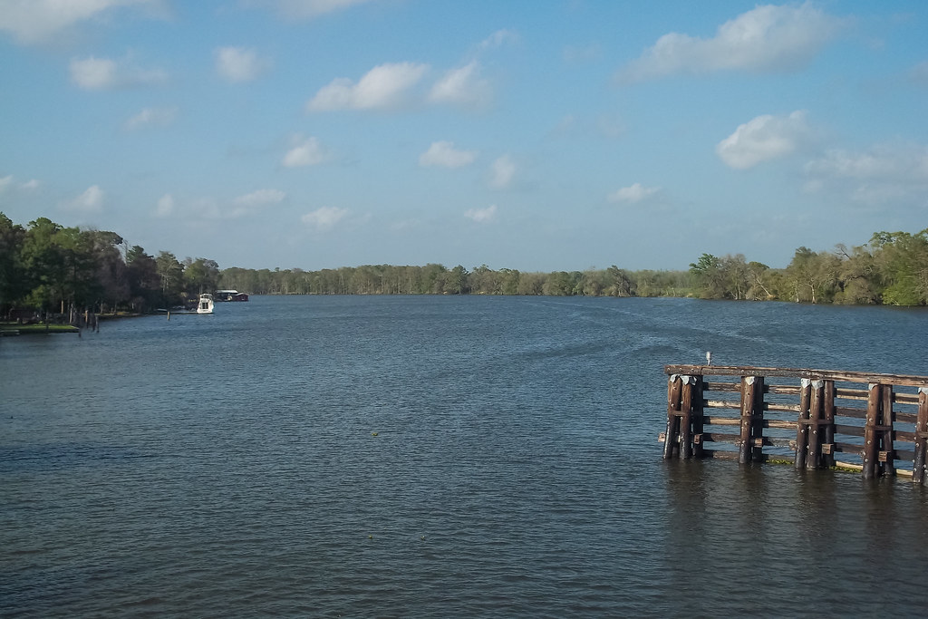
Franklin, Louisiana
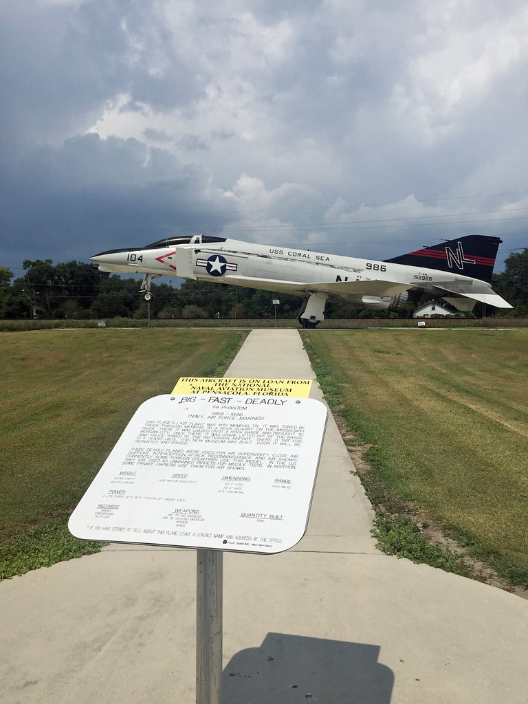
Coral Sea
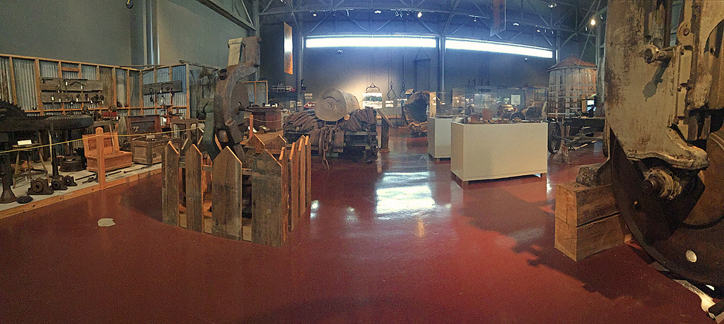
Cypress Sawmill Museum

Enjoyed a relaxing ride to New Orleans for the #thoth meeting with my music and a fine @figarocigars

20160226-1391
20160226-1890

20160226-2312

20160226-2343
20160226-2622
20160226-2623
20160227-2876
20160227-3209
20160227-3210
20160227-3211

20160227-3411

20160227-3428
20160227-3459

An unusual smell #sugarmill #Louisiana
Topographic Map of Par Rd, Franklin, LA, USA
Find elevation by address:

Places near Par Rd, Franklin, LA, USA:
9106 La-182
Centerville
360 Verdunville Rd
360 Verdunville Rd
360 Verdunville Rd
93 Yellow Bayou Rd
St Mary Parish Jail
Chevron Franklin
120 Trunkline Gas Ln
Irish Bend Rd, Franklin, LA, USA
Franklin
309 Jackson St
Main St, Franklin, LA, USA
407 Hawkins St
2406 Chatsworth Rd
112 Michael Dr
Walmart
145 Michael Dr
Irish Bend Rd, Franklin, LA, USA
Super 1 Foods
Recent Searches:
- Elevation of Corso Fratelli Cairoli, 35, Macerata MC, Italy
- Elevation of Tallevast Rd, Sarasota, FL, USA
- Elevation of 4th St E, Sonoma, CA, USA
- Elevation of Black Hollow Rd, Pennsdale, PA, USA
- Elevation of Oakland Ave, Williamsport, PA, USA
- Elevation of Pedrógão Grande, Portugal
- Elevation of Klee Dr, Martinsburg, WV, USA
- Elevation of Via Roma, Pieranica CR, Italy
- Elevation of Tavkvetili Mountain, Georgia
- Elevation of Hartfords Bluff Cir, Mt Pleasant, SC, USA