Elevation of Paprika Road, Paprika Rd, Campo, CA, USA
Location: United States > California > San Diego County > Campo >
Longitude: -116.49887
Latitude: 32.6875117
Elevation: 1004m / 3294feet
Barometric Pressure: 90KPa
Elevation Map:
Satellite Map:
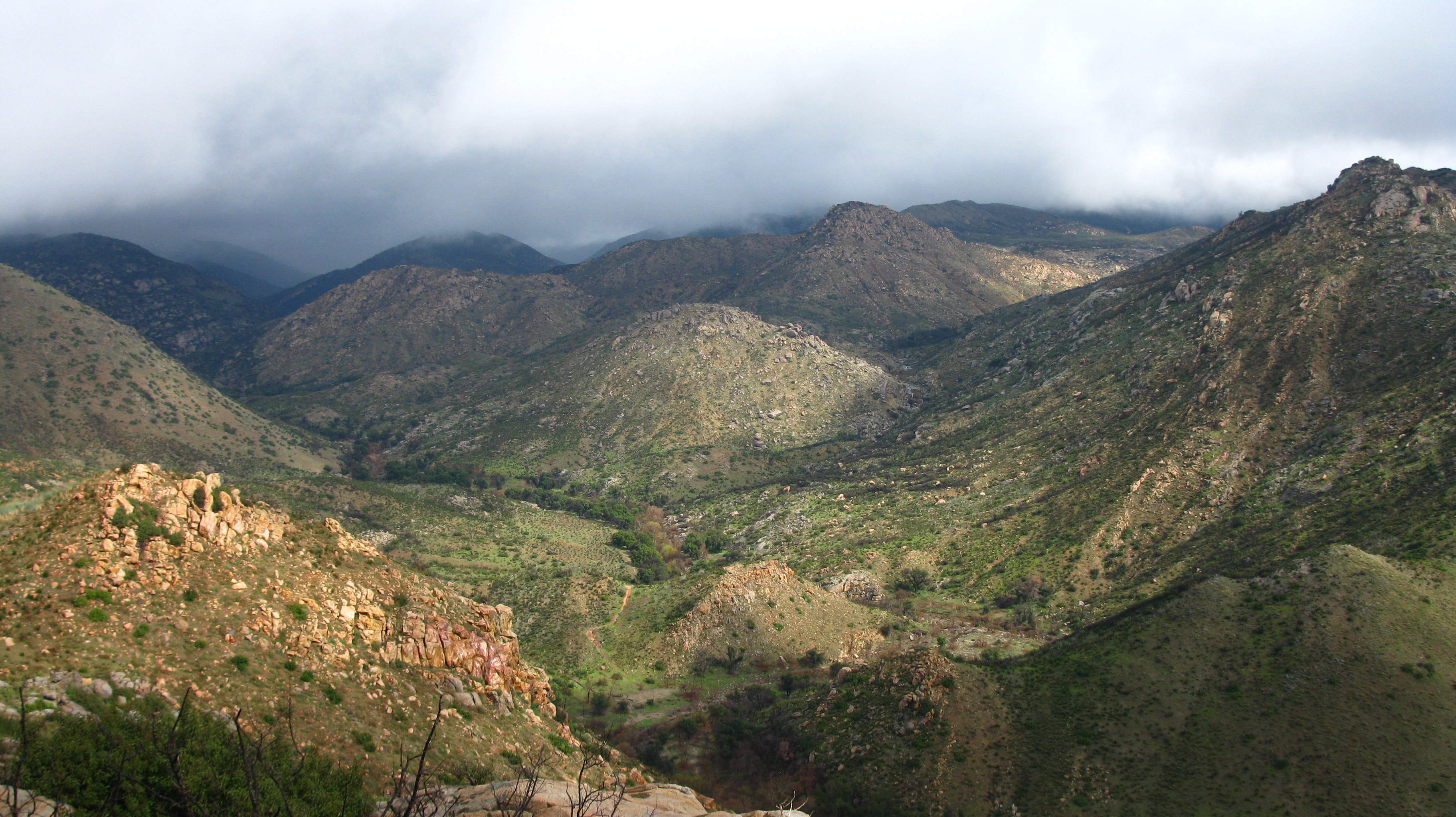
Related Photos:

Mountain Top Milky Way

view upon waking

Potrero Peak Summit Pano

View from the porch

Cab view

US Border Fence Repair

Aerial view of Mountain Range near San Diego CA

Point of View

secret canyon view
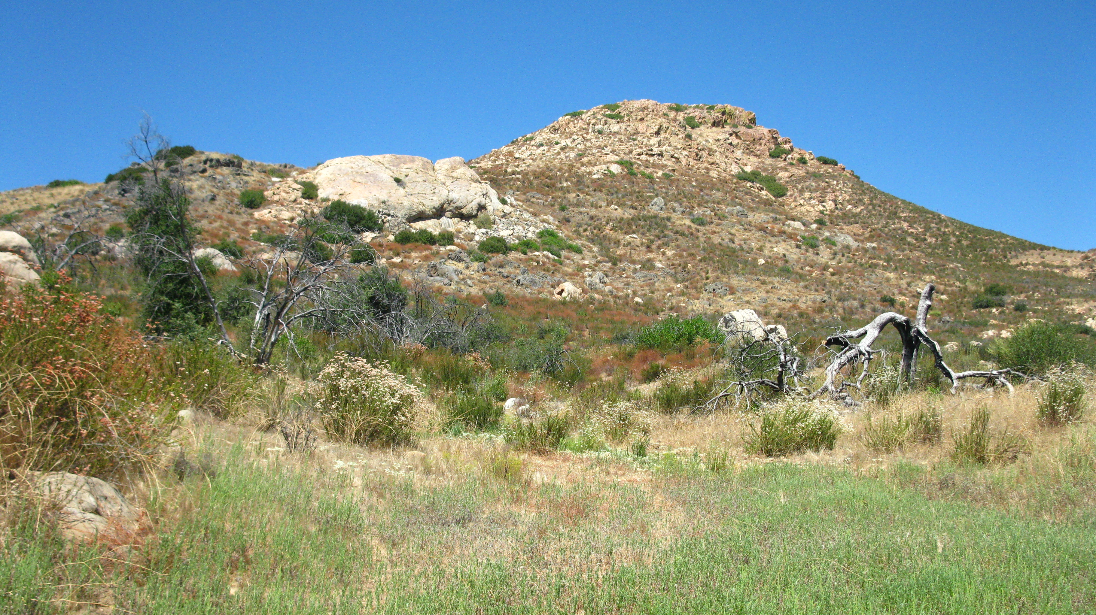
Large rock outcrop next to Red Top

our morning view

151 Panorama view west down Hauser Canyon with Morena Butte on the right

Hike View

439 Zoomed-in view looking north toward Los Pinos Mountain and Corte Madera Mountain from the PCT
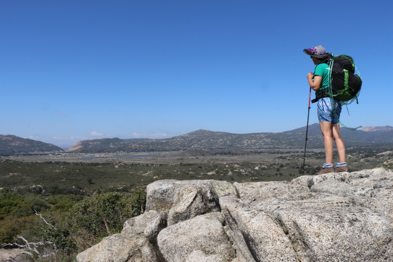
429 Vicki taking in the view from the PCT looking over Lake Morena

428 Zoomed-in view of the Lake Morena Dam

419 Panorama view east of the mountains toward In-ko-pah from the PCT near mile 22

235 Our first view of Lake Morena, with Cuyamaca and Long Valley Peaks in the distance

284 Panorama view looking north toward the Laguna Mountains across the Morena Valley from the PCT

148 Zoomed-in view looking west down the canyon, with Barrett Lake and Lyons Peak

Desert View Tower
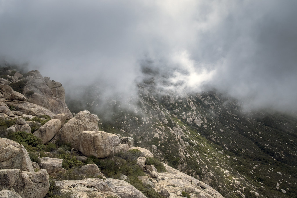
Storm Clouds Blowing in

Walking The Pine Valley Flume

Yellow Flowers

Campo Truck Museum

Horsethief Canyon
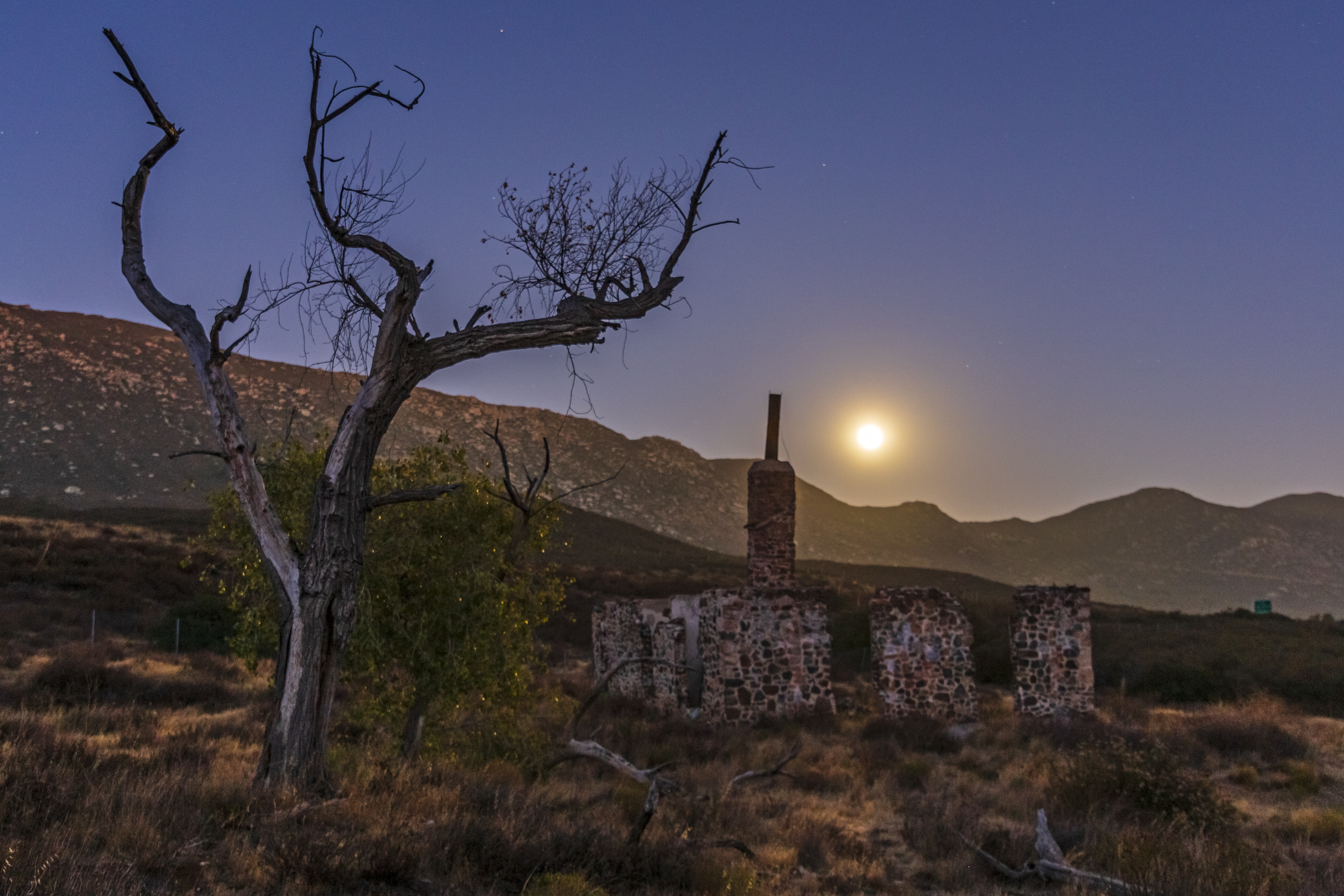
Ruins of the Buckman homestead along Old Highway 80 under a full moon

Corte Madera and Approaching Storm
River valley

Espinosa Ravine

Weevil (Trichobaris compacta) on Datura, Canyon City, San Diego County, CA, 4-21-18 B

Horsethief Canyon

Leather Spineflower (Lastarriaea coriacea), Campo, CA, 4-21-18 D

Pine Valley Flume Bend

Pacific Crest Trail, 2018

Double peaked hill top, today's hike

Pacific Crest Trail - Morena Village

The Espinosa Valley (N)

Sun Burst Stone

Possibly a Kumeyaay yoni fertility carving
Topographic Map of Paprika Road, Paprika Rd, Campo, CA, USA
Find elevation by address:

Places near Paprika Road, Paprika Rd, Campo, CA, USA:
2498 Bass Rd
30025 Swan Dr
Morena View Dr, Campo, CA, USA
Buckman Springs Road
Lake Morena Drive
2089 Lake Morena Dr
1817 Lake Morena Dr
1648 Buckman Springs Rd
32126 Hwy 94
24463 Hwy 94
1361 Dewey Pl
1361 Dewey Pl
1361 Dewey Pl
1361 Dewey Pl
1361 Dewey Pl
1361 Dewey Pl
Dewey Pl, Campo, CA, USA
Sheridan Road
Sheridan Road
Campo Road
Recent Searches:
- Elevation of Slanický ostrov, 01 Námestovo, Slovakia
- Elevation of Spaceport America, Co Rd A, Truth or Consequences, NM, USA
- Elevation of Warwick, RI, USA
- Elevation of Fern Rd, Whitmore, CA, USA
- Elevation of 62 Abbey St, Marshfield, MA, USA
- Elevation of Fernwood, Bradenton, FL, USA
- Elevation of Felindre, Swansea SA5 7LU, UK
- Elevation of Leyte Industrial Development Estate, Isabel, Leyte, Philippines
- Elevation of W Granada St, Tampa, FL, USA
- Elevation of Pykes Down, Ivybridge PL21 0BY, UK