Elevation of Panorama Point, Bushnell, NE, USA
Location: United States > Nebraska > Kimball County > Bushnell >
Longitude: -104.02967
Latitude: 41.0105396
Elevation: 1651m / 5417feet
Barometric Pressure: 83KPa
Elevation Map:
Satellite Map:
Related Photos:

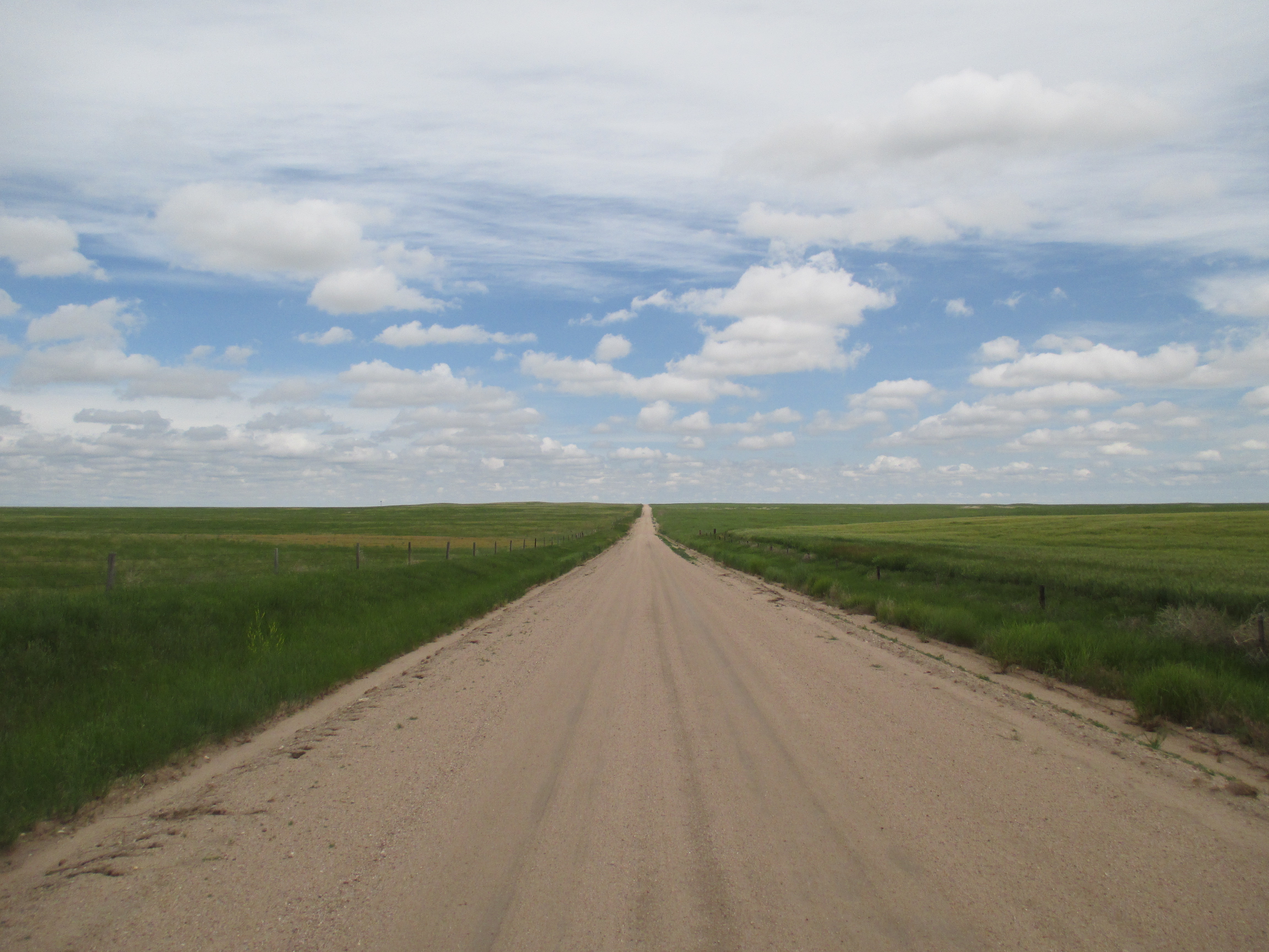
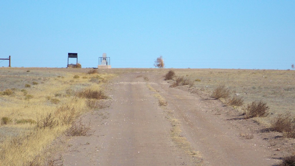
Approaching Panorama Point

Panorama Point

Panorama Point

Panorama Point
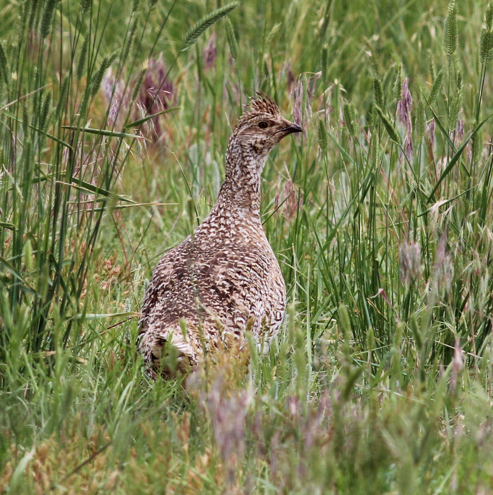
Sharp-tailed Grouse
Pawnee National Grasslands
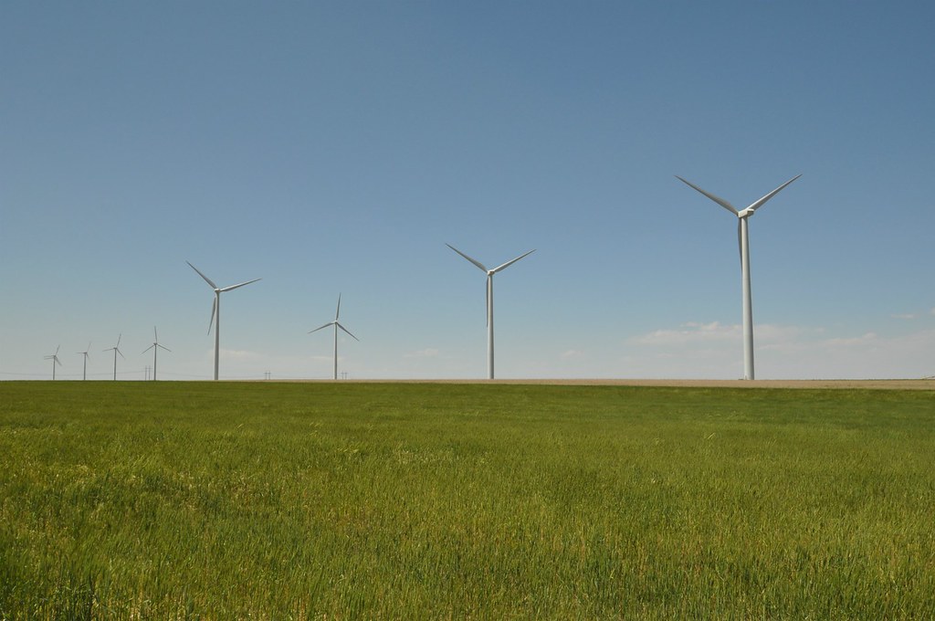
Windfarm On The Grasslands

Chestnut-collared Longspur
The Edge of Sight
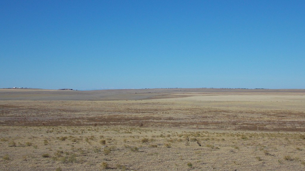
Low Rise on the Plain
Topographic Map of Panorama Point, Bushnell, NE, USA
Find elevation by address:

Places near Panorama Point, Bushnell, NE, USA:
Bushnell
Kimball
Kimball County
Kimball County Courthouse
Co Rd, Stoneham, CO, USA
405 E North St
Rd E, Kimball, NE, USA
210031 Ponderosa
Gering
Castle Rock
2350 Chateau Way
785 L St
Scotts Bluff County
795 P St
Gering
56 McGuire St, Gering, NE, USA
Terrytown
4010 10th St
Peetz
Logan St, Peetz, CO, USA
Recent Searches:
- Elevation of Corso Fratelli Cairoli, 35, Macerata MC, Italy
- Elevation of Tallevast Rd, Sarasota, FL, USA
- Elevation of 4th St E, Sonoma, CA, USA
- Elevation of Black Hollow Rd, Pennsdale, PA, USA
- Elevation of Oakland Ave, Williamsport, PA, USA
- Elevation of Pedrógão Grande, Portugal
- Elevation of Klee Dr, Martinsburg, WV, USA
- Elevation of Via Roma, Pieranica CR, Italy
- Elevation of Tavkvetili Mountain, Georgia
- Elevation of Hartfords Bluff Cir, Mt Pleasant, SC, USA