Elevation of Pankrazweg 1, Pliening, Germany
Location: Austria > Bavaria > Upper Bavaria > Pliening > Ottersberg >
Longitude: 11.8107459
Latitude: 48.1829367
Elevation: 517m / 1696feet
Barometric Pressure: 95KPa
Elevation Map:
Satellite Map:
Related Photos:

tears in the sky

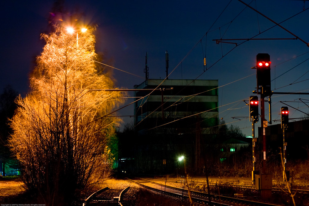
light at dawn

25 seconds for myfear

reaching out

distant blue

t w o some

dreaming of ...

apocalyptic view

sunday sundown walk

cold as ice

wonderfull world

No, thats not a BW

I like long walks

dreaming five

one thing

crossing minds

two in two
they are watching us ...

upside down

daramatic sky *

approaching munich
Day after Day

looks like munich :o)

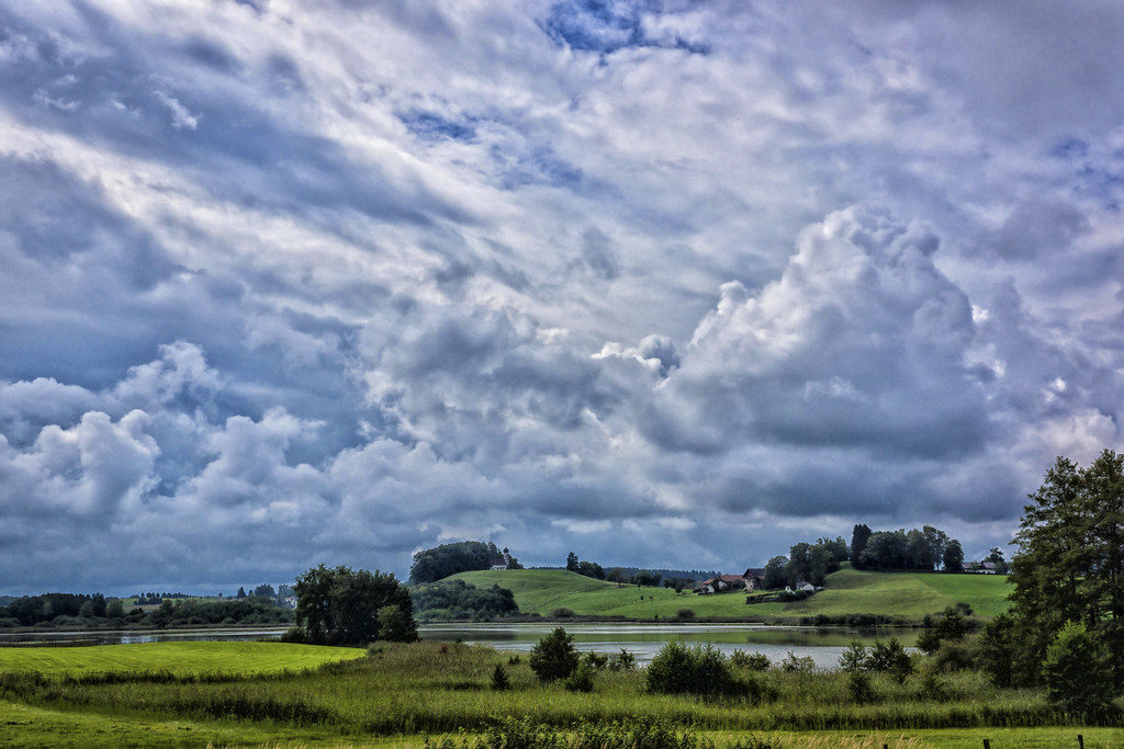
endless sky

white beauty

Painting II

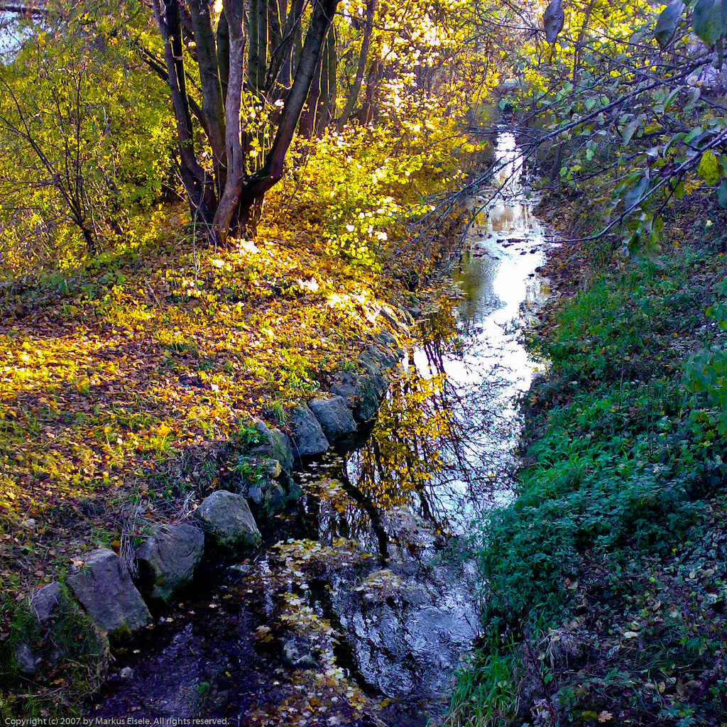
Yellow Season in Bavaria

New Beginnings (Icy Morning of NYE)
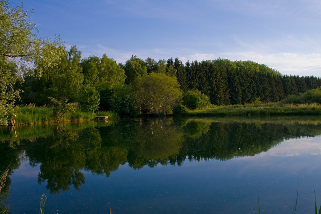
wild river reflection

365-307

perfect time

Inter Stellar II
no flood today

Spring Storm

Autumn Sunset

Shadows & Tall Trees

mistaken for a dawn

Two Suns in the Forest

Last Sunrays II

go where I've never been
Topographic Map of Pankrazweg 1, Pliening, Germany
Find elevation by address:

Places near Pankrazweg 1, Pliening, Germany:
Ottersberg
Poing
Pliening
Finsing
Neufinsing
Hauptstraße 5, Finsing, Germany
Markt Schwaben
Schloßpl. 2, Markt Schwaben, Germany
1a
12b
Neuching
Riexing
Riexing 13, Moosinning, Germany
Moosinning
Golfclub München Eichenried
Ziegelstatt 1, Erding, Germany
Sportpark Ismaning
Altenerding
Hofmarkpl. 9, Erding, Germany
Heed Eventlogistik Gmbh
Recent Searches:
- Elevation of Congressional Dr, Stevensville, MD, USA
- Elevation of Bellview Rd, McLean, VA, USA
- Elevation of Stage Island Rd, Chatham, MA, USA
- Elevation of Shibuya Scramble Crossing, 21 Udagawacho, Shibuya City, Tokyo -, Japan
- Elevation of Jadagoniai, Kaunas District Municipality, Lithuania
- Elevation of Pagonija rock, Kranto 7-oji g. 8"N, Kaunas, Lithuania
- Elevation of Co Rd 87, Jamestown, CO, USA
- Elevation of Tenjo, Cundinamarca, Colombia
- Elevation of Côte-des-Neiges, Montreal, QC H4A 3J6, Canada
- Elevation of Bobcat Dr, Helena, MT, USA