Elevation of Panicuason Hot Springs Resort, Barangay Panicuason, Naga, Camarines Sur, Philippines
Location: Philippines > Bicol > Camarines Sur > Calabanga >
Longitude: 123.340416
Latitude: 13.691356
Elevation: 500m / 1640feet
Barometric Pressure: 95KPa
Elevation Map:
Satellite Map:
Related Photos:
See, The View, See at CWC

@jengtanuychico n @alessi888
LAND-041-0524

Random.Stuff.041

Color my world / Draw on my heart / take a picture of what you think love /looks like in your imagination
LAND-041-0478
God's Hand Lighthouse at Tugawe Cove
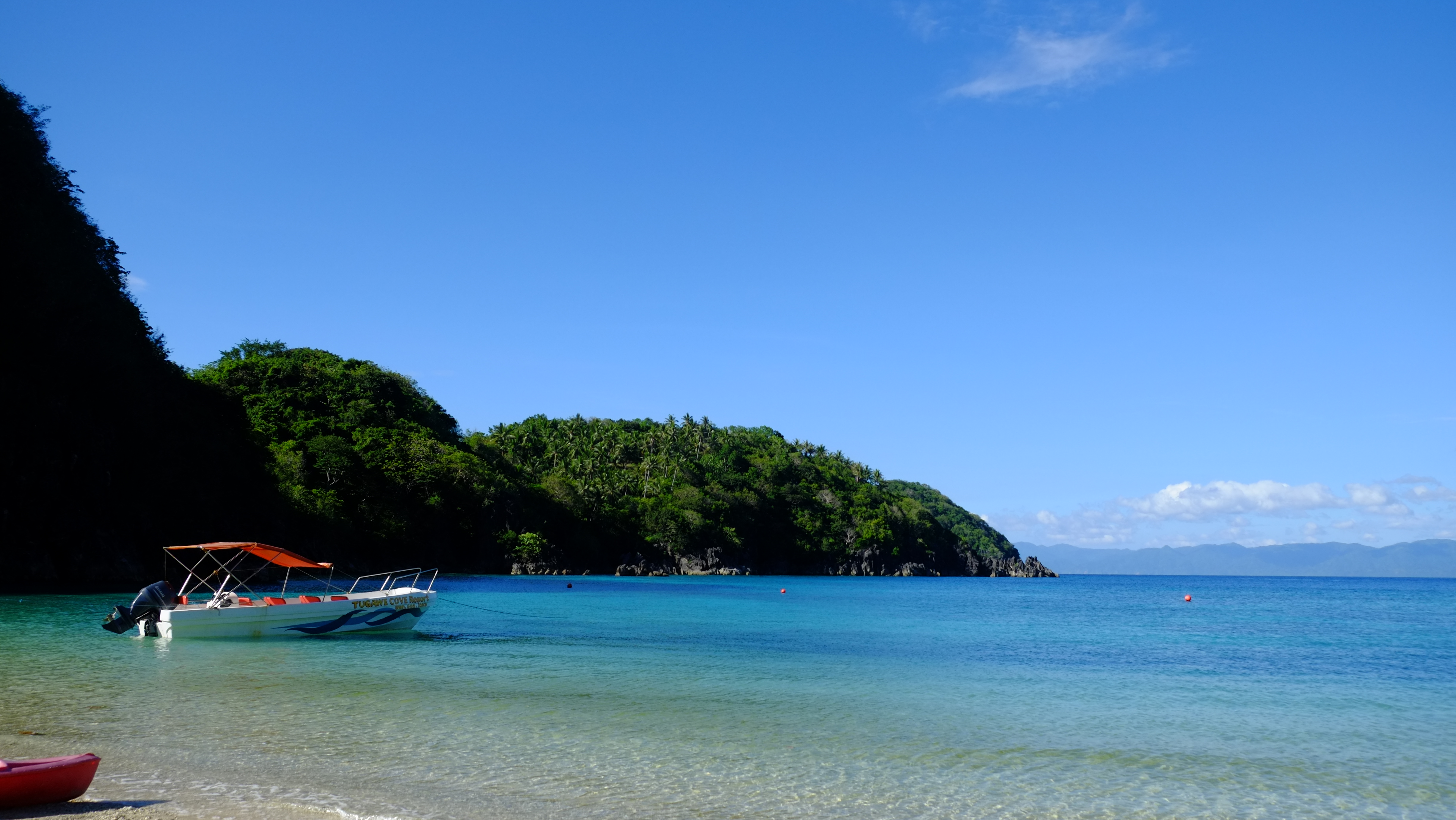
Tugawe Cove
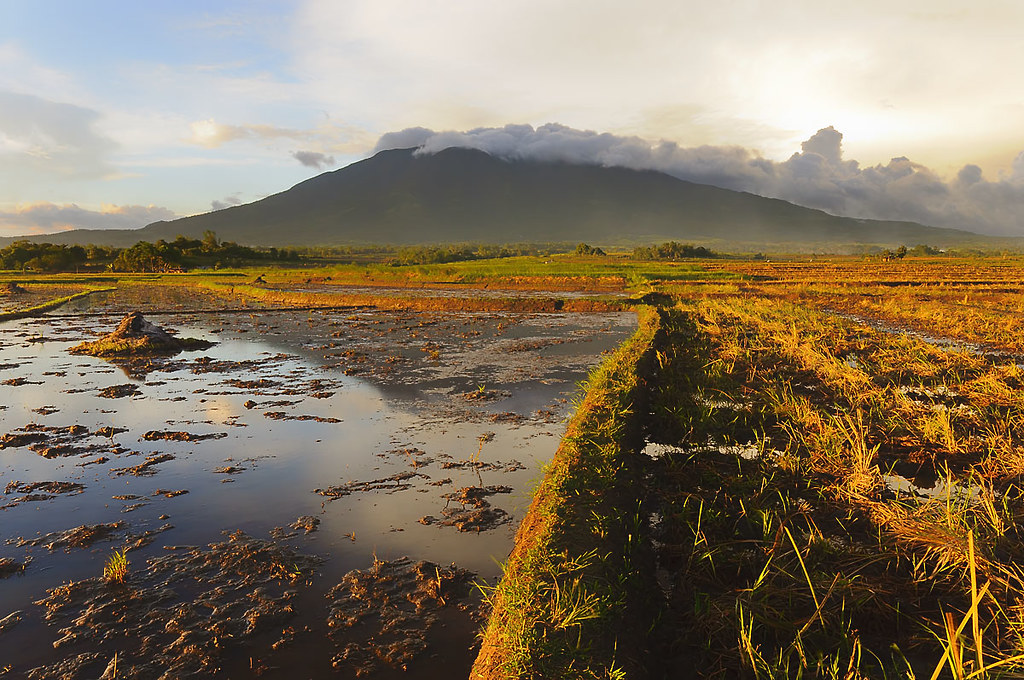
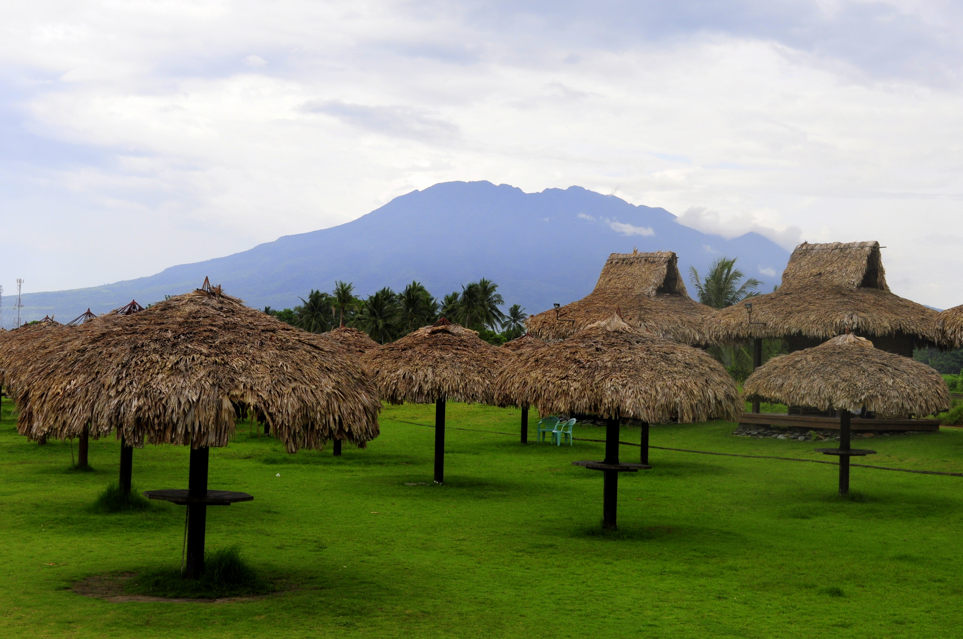
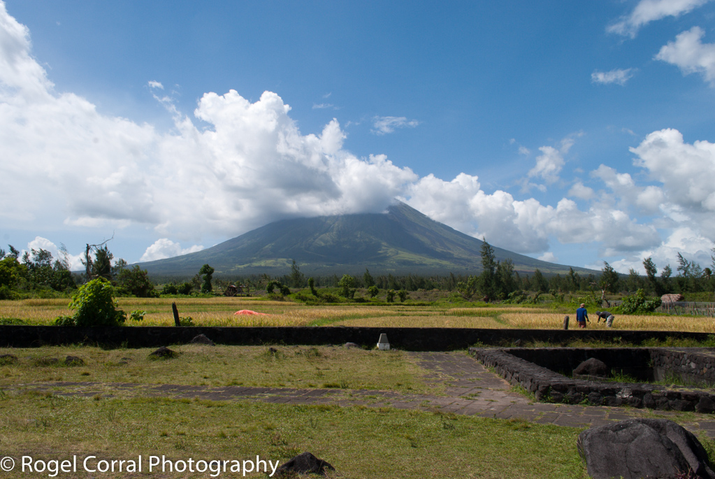
Mt. Isarog at sunset
LAND-041-0487

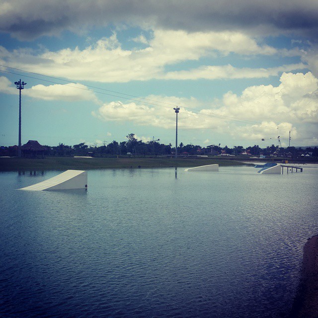
CWC Wakeboard Park

LAND-041-0486
LAND-041-0479

LAND-041-0485
Shall I try? Go for WakeBoarding or not? Lols :) ) ????????????
Topographic Map of Panicuason Hot Springs Resort, Barangay Panicuason, Naga, Camarines Sur, Philippines
Find elevation by address:

Places near Panicuason Hot Springs Resort, Barangay Panicuason, Naga, Camarines Sur, Philippines:
Panicuason Hot Springs Resort
Panicuason
Malabsay Falls
Panicuason Elementary School
Panicuason Road
Panicuason Road
Panicuason Road
Panicuason Road
Panicuason Agri & Camp Site Recreational Center
Panicuason Road
Panicuason Road
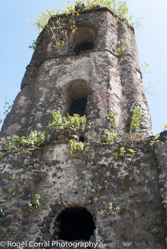
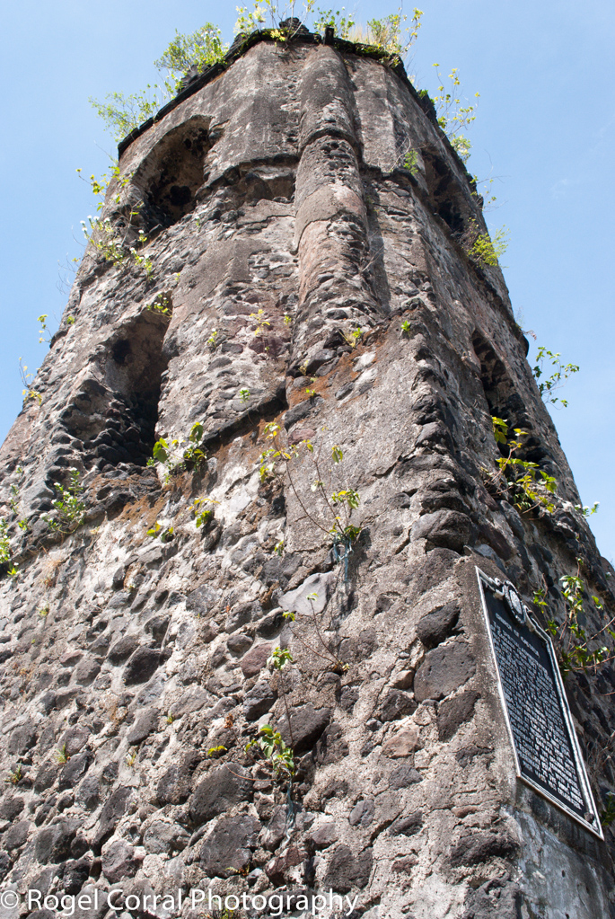
Mount Isarog
Carolina
Naga City
Haciendas De Naga
Caceres Heights Resort Subd.
Primus Hotel & Resort
Pacol
Planes And Angles
Grandview Avenue
Recent Searches:
- Elevation of W Granada St, Tampa, FL, USA
- Elevation of Pykes Down, Ivybridge PL21 0BY, UK
- Elevation of Jalan Senandin, Lutong, Miri, Sarawak, Malaysia
- Elevation of Bilohirs'k
- Elevation of 30 Oak Lawn Dr, Barkhamsted, CT, USA
- Elevation of Luther Road, Luther Rd, Auburn, CA, USA
- Elevation of Unnamed Road, Respublika Severnaya Osetiya — Alaniya, Russia
- Elevation of Verkhny Fiagdon, North Ossetia–Alania Republic, Russia
- Elevation of F. Viola Hiway, San Rafael, Bulacan, Philippines
- Elevation of Herbage Dr, Gulfport, MS, USA