Elevation of Palo Alto Hills Golf Country Club, Alexis Dr, Palo Alto, CA, USA
Location: United States > California > Santa Clara County > Palo Alto >
Longitude: -122.17199
Latitude: 37.3739223
Elevation: 191m / 627feet
Barometric Pressure: 99KPa
Elevation Map:
Satellite Map:
Related Photos:
Perfect view?

Gnarled Oak

IMG_1380 Let Me Feed You, Honey.

Lone Chair

IMG_5922 Forster's Tern Hovering, Mountain View Shoreline Park, California

IMG_0173 Here I Come! Mountain View Shoreline Park, CA

Wire Hooks

Vine Art

Shadow Lines
Shadow Bike
Fish On
Forster's Tern (1st year)

Break Chairs
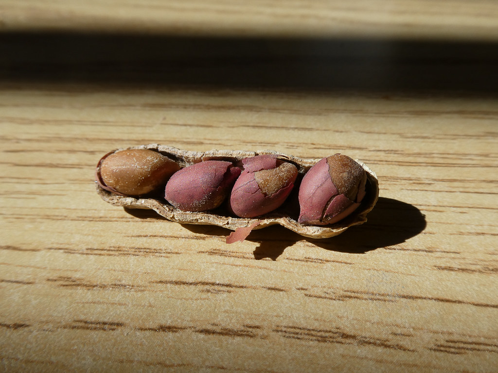
Four In One

Barn Swallow (immature)

Green Heron (1st summer)

Marbled Godwit
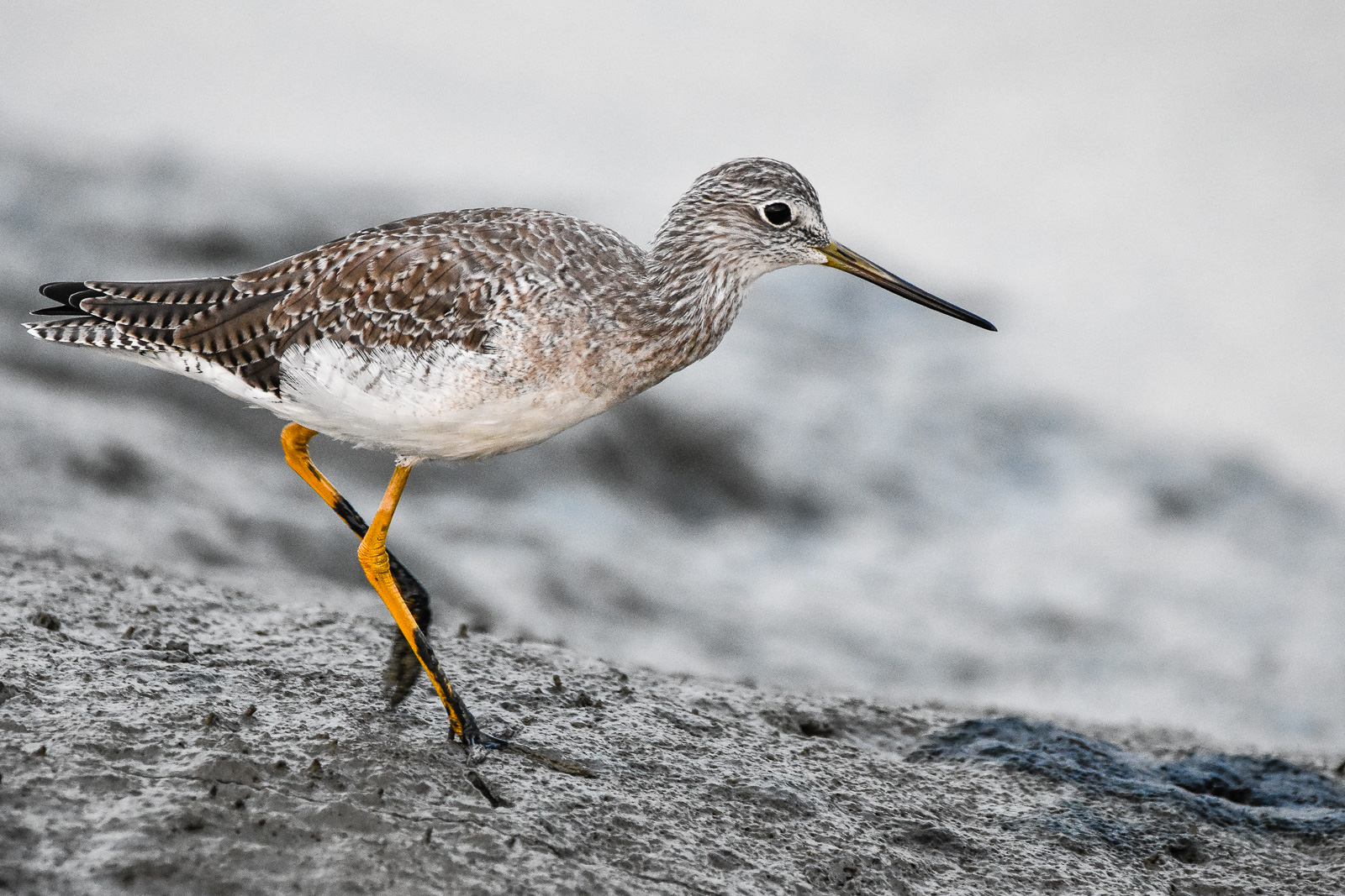
Greater Yellowlegs

Red On Purple

IMG_1917 Snowy Egret
Wheels Up

And the wind cries Mary

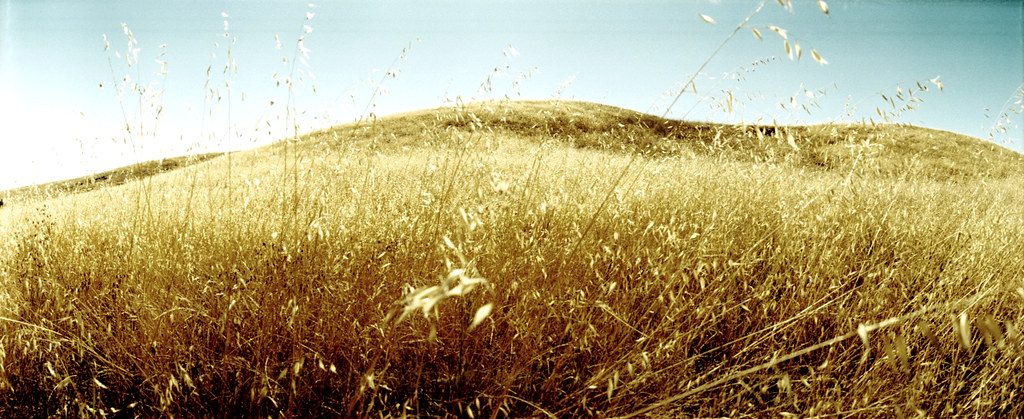
Fields of Gold

Arastradero Pasture

Trees and Rays
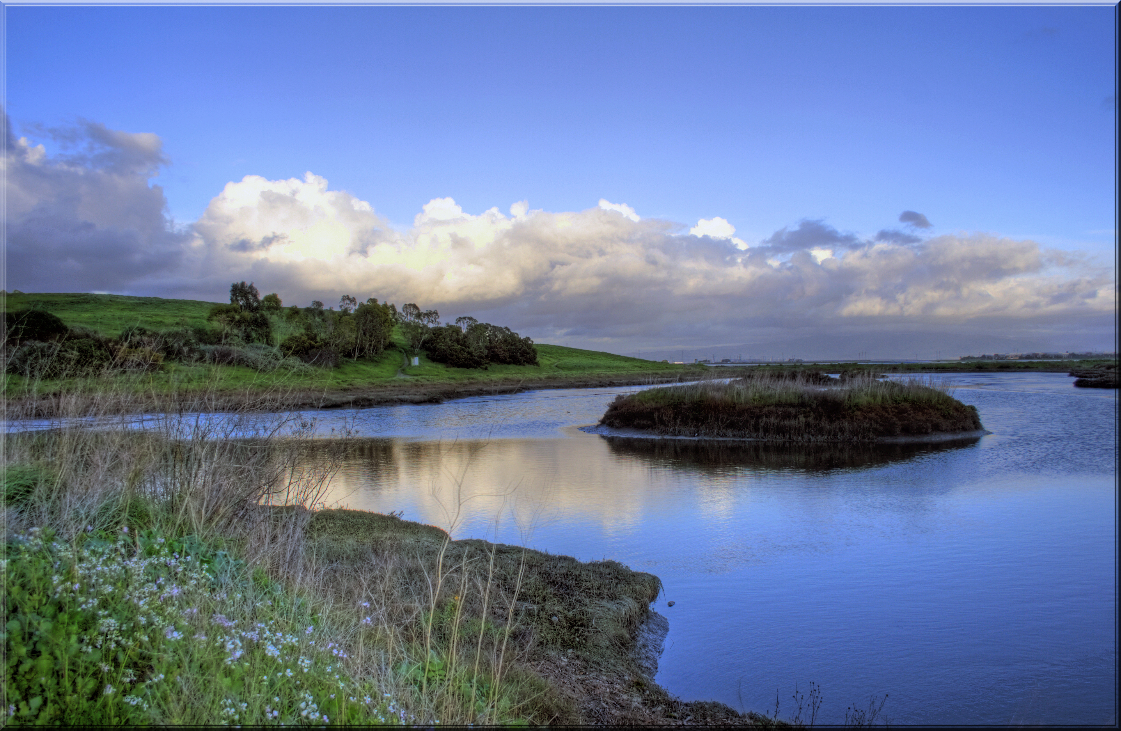
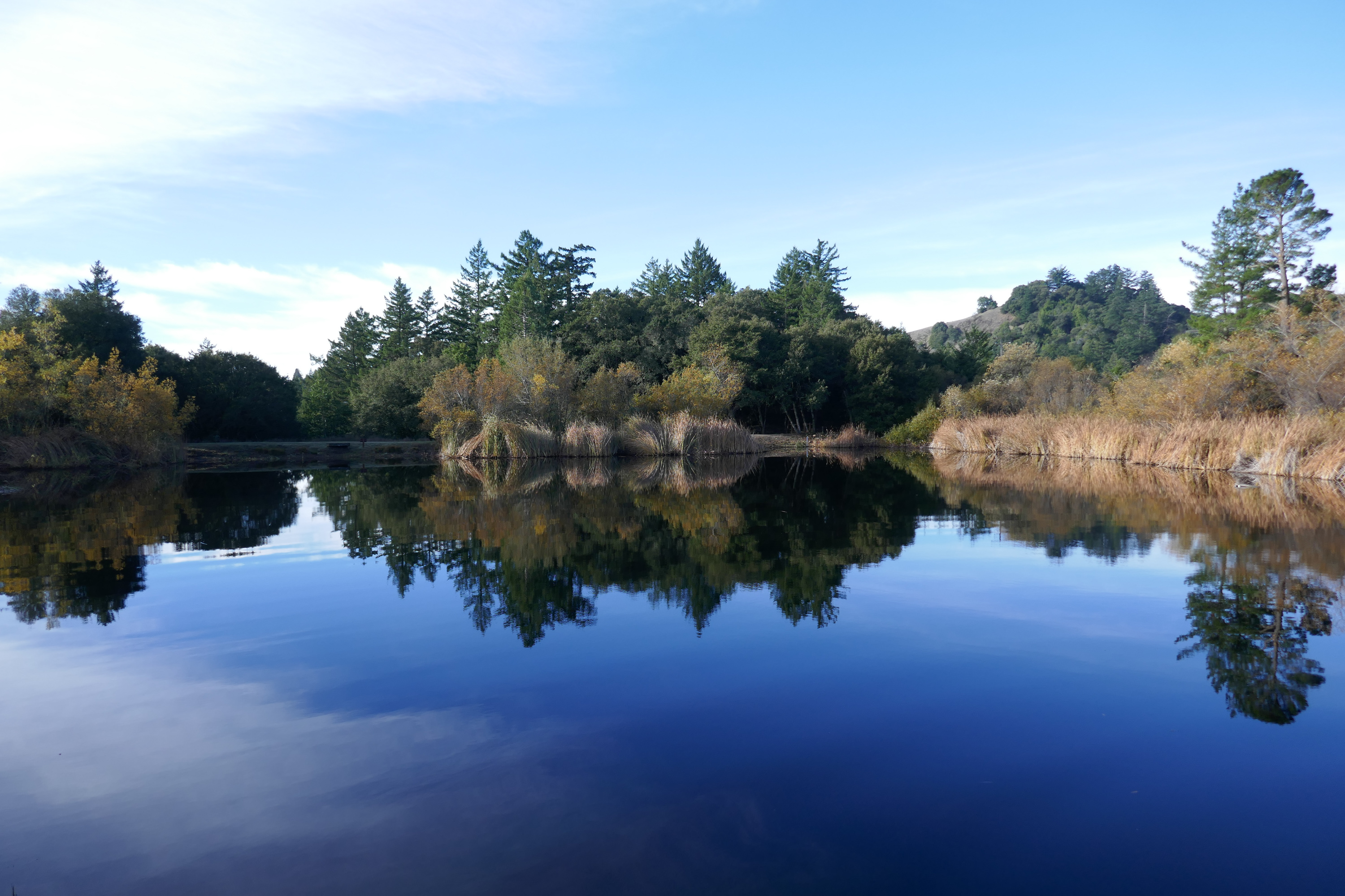
Quiet Lagoon
Skyline Ridge
Ghost Riders in the Sky

Heavenly shades of night are falling, it's twilight time ...

~~Garden of PEACE #2~~

Trail to Heaven
Yesterday afternoon stroll.

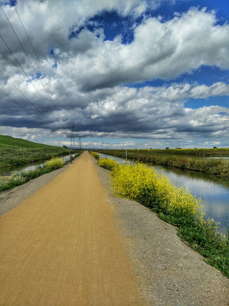
April Skies | Palo Alto

Shade and reflections

Gentle Afterglow

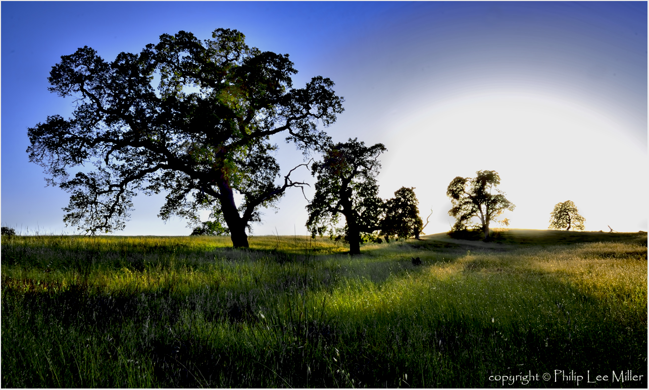
My Favorite Tree

Spider Tree
grassy hill
trail uphill

I wonder

Stanford and Palo Alto

hwy 280
Topographic Map of Palo Alto Hills Golf Country Club, Alexis Dr, Palo Alto, CA, USA
Find elevation by address:

Places near Palo Alto Hills Golf Country Club, Alexis Dr, Palo Alto, CA, USA:
27855 Via Ventana Way
12200 Menalto Dr
Foothills Park
Palo Alto, CA, USA
27920 Moody Rd
27600 Moody Rd
Foothills Preserve
26870 Moody Ct
26870 Moody Rd
13210 La Cresta Dr
Deer Creek & Sap Labs
12600 Viscaino Ct
104 La Mesa Dr
26306 Esperanza Dr
Los Altos Hills
Stanford Dish
Ladera
4401 Hillview Ave
26202 Maurer Ln
Erica Way, Menlo Park, CA, USA
Recent Searches:
- Elevation of Falling Spring Rd, Clyde, NC, USA
- Elevation of Kingsfield St, Castle Rock, CO, USA
- Elevation of AMELIA CT HSE, VA, USA
- Elevation of Abbey Dr, Virginia Beach, VA, USA
- Elevation of Brooks Lp, Spearfish, SD, USA
- Elevation of Panther Dr, Maggie Valley, NC, USA
- Elevation of Jais St - Wadi Shehah - Ras al Khaimah - United Arab Emirates
- Elevation of Shawnee Avenue, Shawnee Ave, Easton, PA, USA
- Elevation of Scenic Shore Dr, Kingwood Area, TX, USA
- Elevation of W Prive Cir, Delray Beach, FL, USA