Elevation of Palisade, CO, USA
Location: United States > Colorado > Mesa County >
Longitude: -108.35091
Latitude: 39.1102587
Elevation: 1441m / 4728feet
Barometric Pressure: 85KPa
Elevation Map:
Satellite Map:
Related Photos:
Colorado River "Roller dam" At Palisade
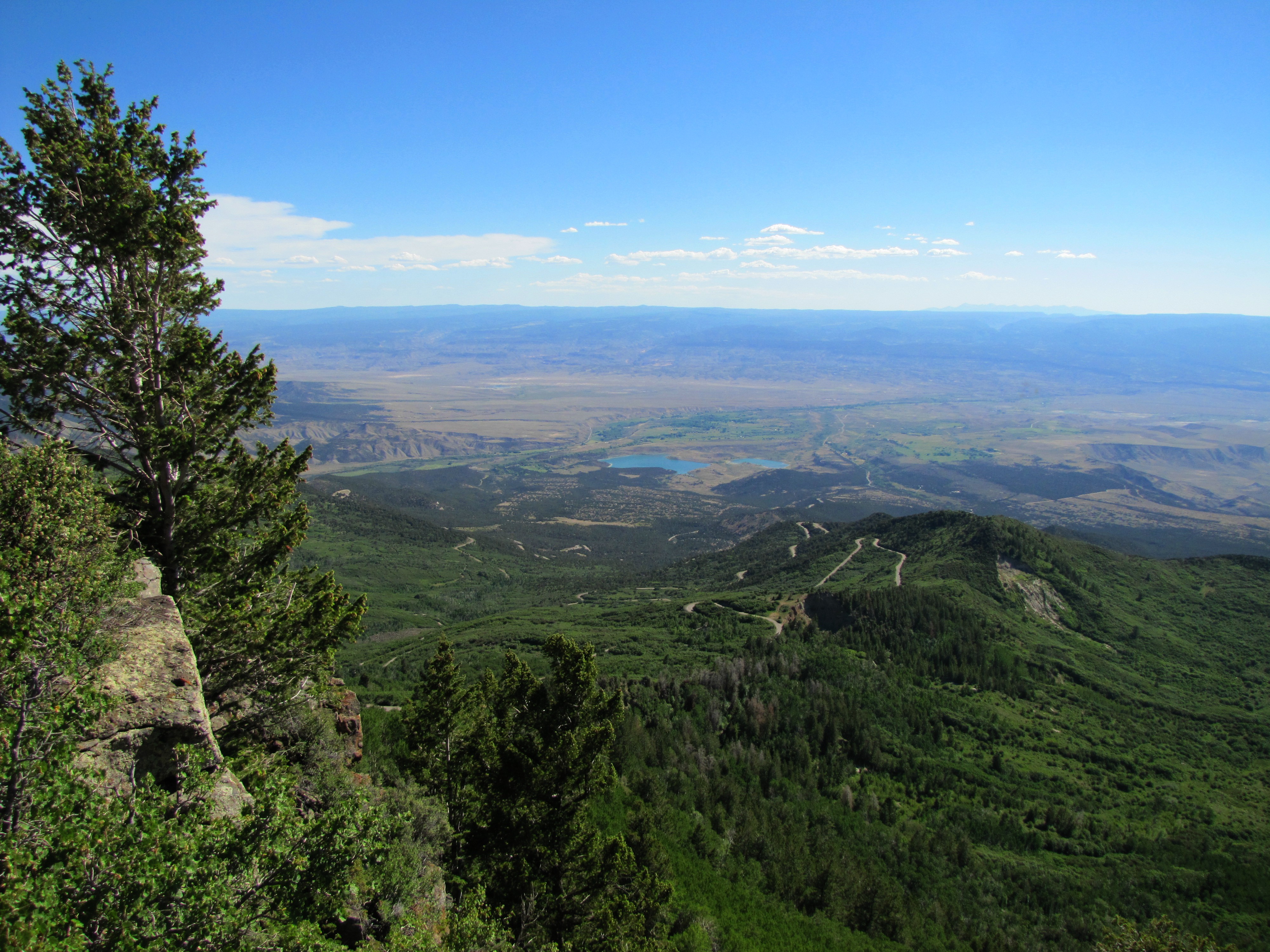
Palisade Pano

Views from the Wine Country Inn in Palisade
'Mount Garfield' From The California Zephyr - ( 2 views )

Colorado River "Roller dam" At Palisade
Reflections of Palisade
Wildflowers and views along Land's End Road #20
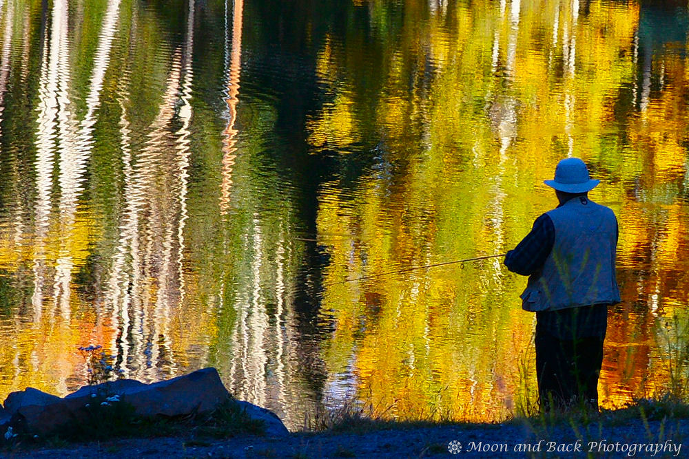
The Fisherman

Famous for its peach orchards and wine vineyards #GJCO #Colorado #XperiaZ

Hiking the Ute Petroglyphs // Palisade Rim Tail #GJCO #XperiaZ

Monsoons in Mesa County #Colorado #COwx #GJCO #ShareGJ

Mt Garfield, just north of Palisade #5280 #colorado #family #coloradocameraclub #home #303magazine #co #coloradotography #coloradogram #coloradofanclub #jj_colorado #colorfulcolorado #unitedstates #america #photooftheday #picoftheday #bestoftheday #instag

Lovely sunset on snow covered Grand Mesa #COwx #GJCO

Monsoons in Mesa County #Colorado #COwx #GJCO #ShareGJ

Stormy Monday in Mesa County #Colorado #COwx

Sunset Duck

Hiking the Ute Petroglyph/Palisade Rim Trail #GJCO #Colorado
Partly cloudy
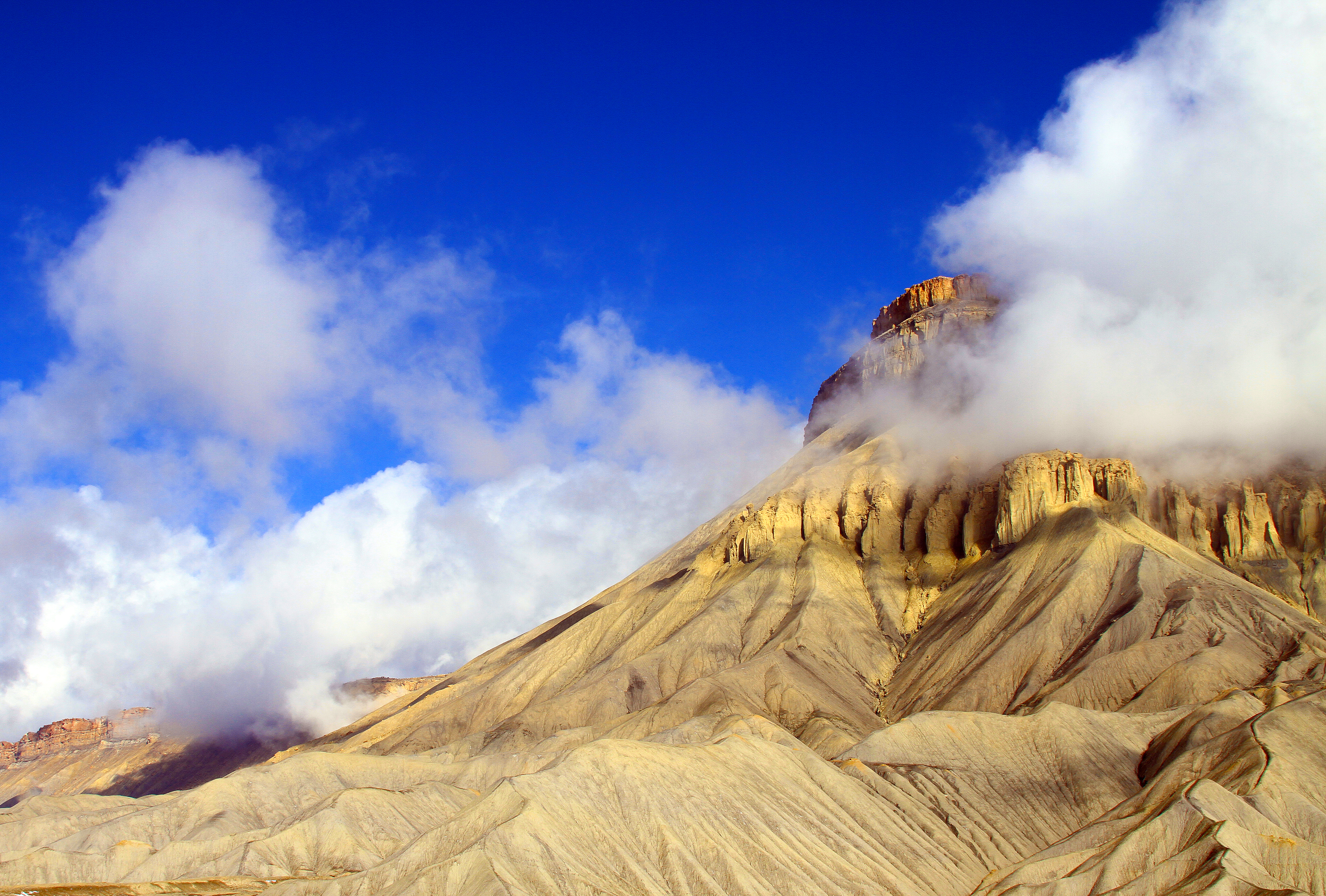
Mount Garfield, Grand Junction, Colorado
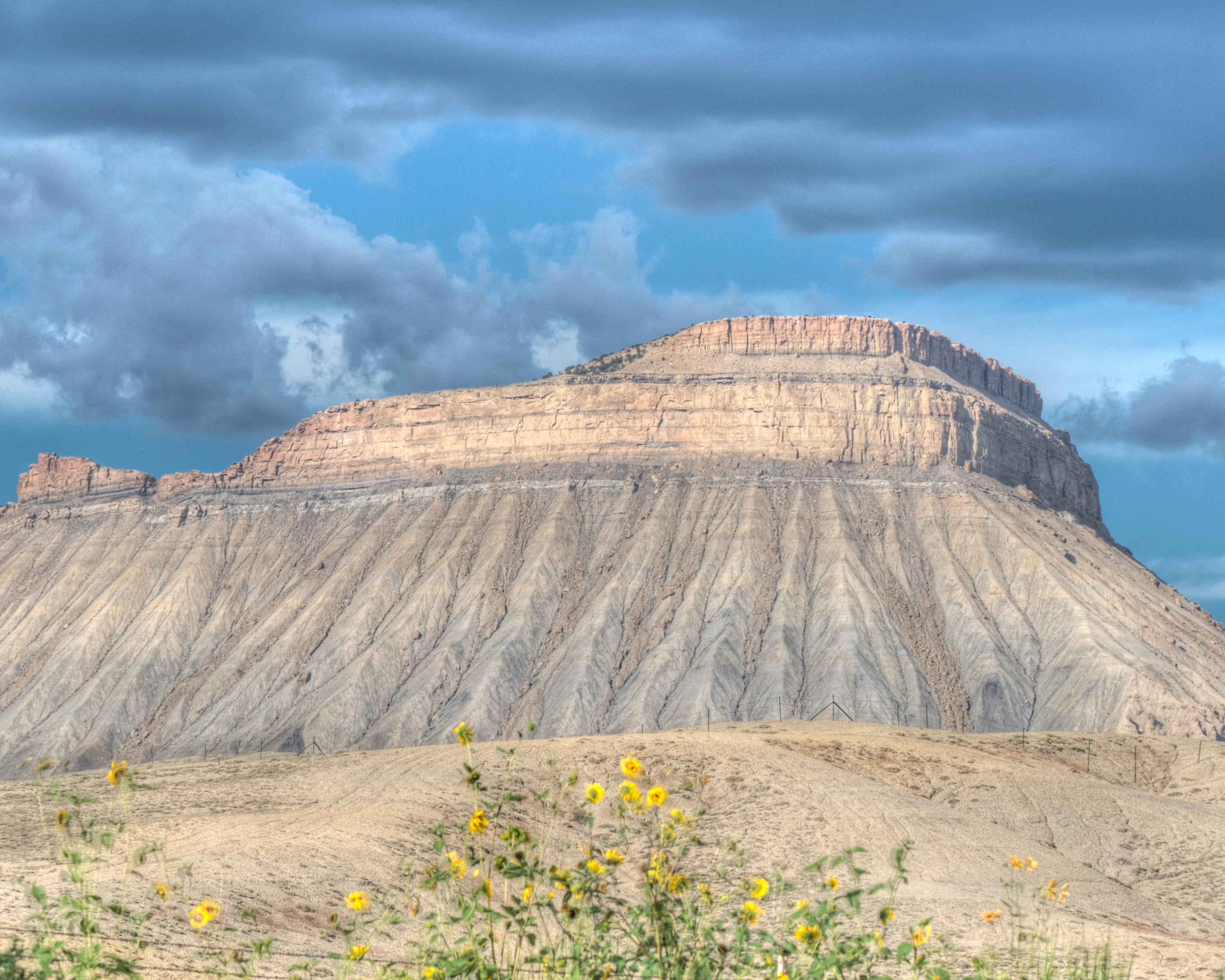
Crevasse Splay Deposits
Colorado!
On the road...

Looking toward the Grand Mesa, the largest flat top mountain in the world #5280 #colorado #family #coloradocameraclub #home #303magazine #co #coloradotography #coloradogram #coloradofanclub #jj_colorado #colorfulcolorado #unitedstates #america #photoofth
C360_2013-04-14-19-19-49.jpg
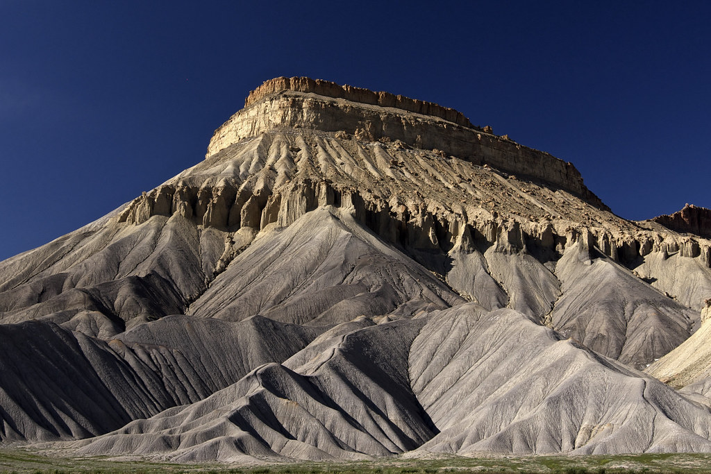
Mt Garfield
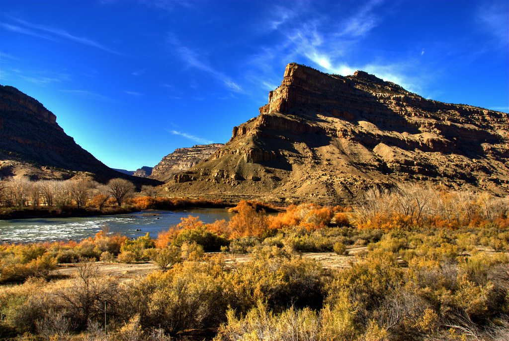
Colorado River Landscape

Hiking the Ute Petroglyphs // Rim Trail #GJCO #XperiaZ

C360_2013-04-14-19-16-56.jpg
Topographic Map of Palisade, CO, USA
Find elevation by address:

Places in Palisade, CO, USA:
Places near Palisade, CO, USA:
514 Rosa St
Front St, Palisade, CO, USA
3348 G Rd
488 33 Rd
F Rd, Clifton, CO, USA
Clifton
Grand Valley Diversion Dam
3248 D 3/4 Rd
522 Campbell Way
522 Campbell Way
3195 F Rd
488 32 Rd
3163 Saddlegate Ct
Larrys Meadow Dr, Grand Junction, CO, USA
Fruitvale
382 Blue River Dr
Blue River Drive
Quail Hollow Ct, Grand Junction, CO, USA
3110 Keyser Ct
444 Pear Lane
Recent Searches:
- Elevation of Congressional Dr, Stevensville, MD, USA
- Elevation of Bellview Rd, McLean, VA, USA
- Elevation of Stage Island Rd, Chatham, MA, USA
- Elevation of Shibuya Scramble Crossing, 21 Udagawacho, Shibuya City, Tokyo -, Japan
- Elevation of Jadagoniai, Kaunas District Municipality, Lithuania
- Elevation of Pagonija rock, Kranto 7-oji g. 8"N, Kaunas, Lithuania
- Elevation of Co Rd 87, Jamestown, CO, USA
- Elevation of Tenjo, Cundinamarca, Colombia
- Elevation of Côte-des-Neiges, Montreal, QC H4A 3J6, Canada
- Elevation of Bobcat Dr, Helena, MT, USA