Elevation of Pale, Myanmar (Burma)
Location: Myanmar (burma) > Sagaing Region >
Longitude: 94.8779969
Latitude: 21.9337741
Elevation: 141m / 463feet
Barometric Pressure: 100KPa
Elevation Map:
Satellite Map:
Related Photos:

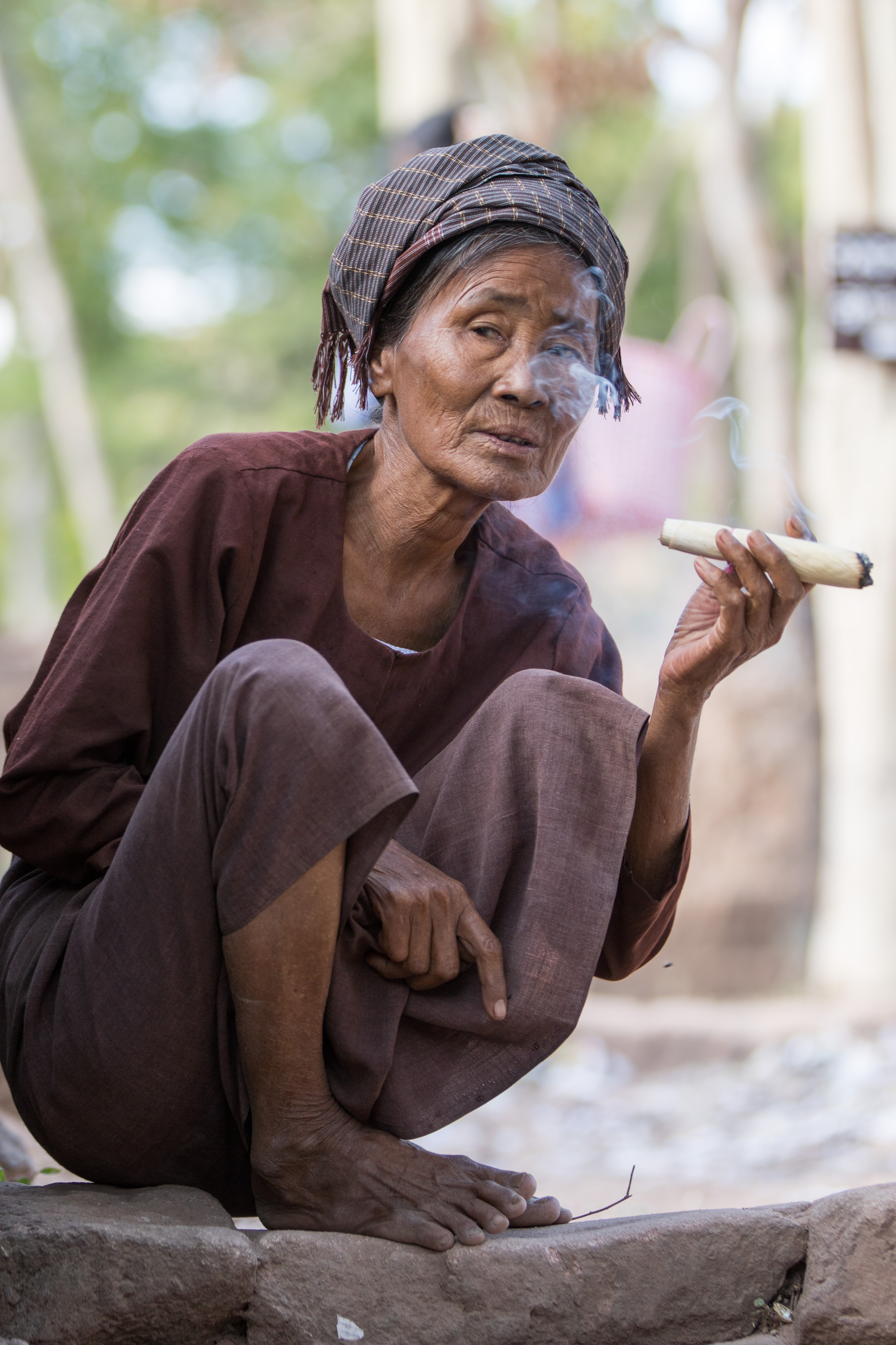
Myanmar Nov-Dec 2014-12555

Myanmar Nov-Dec 2014-12556

Myanmar Nov-Dec 2014-12557

Myanmar Nov-Dec 2014-12558

Myanmar Nov-Dec 2014-12560

Myanmar Nov-Dec 2014-12562
Myanmar Nov-Dec 2014-12564
Topographic Map of Pale, Myanmar (Burma)
Find elevation by address:

Places near Pale, Myanmar (Burma):
Yin Mar Bin
Salingyi
Monywa
Kani
Budalin
Myaung
Yandabo Home
Pakokku
Pakokku Bridge
Ayadaw
Myingyan
Myinmu
Nyaung-u
Old Bagan
Minnanthu
Pakokku
Zee O Village (ဇီးအို ေက်းရြာ)
Taungtha
Recent Searches:
- Elevation of 6 Rue Jules Ferry, Beausoleil, France
- Elevation of Sattva Horizon, 4JC6+G9P, Vinayak Nagar, Kattigenahalli, Bengaluru, Karnataka, India
- Elevation of Great Brook Sports, Gold Star Hwy, Groton, CT, USA
- Elevation of 10 Mountain Laurels Dr, Nashua, NH, USA
- Elevation of 16 Gilboa Ln, Nashua, NH, USA
- Elevation of Laurel Rd, Townsend, TN, USA
- Elevation of 3 Nestling Wood Dr, Long Valley, NJ, USA
- Elevation of Ilungu, Tanzania
- Elevation of Yellow Springs Road, Yellow Springs Rd, Chester Springs, PA, USA
- Elevation of Rēzekne Municipality, Latvia