Elevation of Pagatpatan, Camarines Sur, Philippines
Location: Philippines > Bicol > Camarines Sur >
Longitude: 123.255984
Latitude: 13.290098
Elevation: 41m / 135feet
Barometric Pressure: 101KPa
Elevation Map:
Satellite Map:
Related Photos:
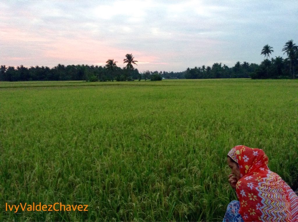
Rice Field

our Stream Fresh Water Refilling Station, at the beautiful Pantao! with some of its beautiful people #bicol

Karaii! #bikol #tinutuan

green tea + fruit cake #spoils of #nochebuena
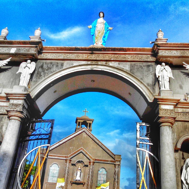
2014-12-29 Sto. Domingo de Gusman Parish , Nabua #Church

Boys from North #FriendsForever

pa-demure ;)
Topographic Map of Pagatpatan, Camarines Sur, Philippines
Find elevation by address:

Places near Pagatpatan, Camarines Sur, Philippines:
San Isidro (pob.)
Payak
Manga (mangga)
Palo
Balatan Municipal Hall
Pamilihang Bayan Ng Balatan
Lobong
Cotmon
Mainit
Sooc
Lubigan
Cristo Rey
Cawacagan
Balatan
Caricot
Bato
Sagrada (sagrada Familia)
Bato Municipal Police Station
Goyudan
Del Rosario
Recent Searches:
- Elevation of Fernwood, Bradenton, FL, USA
- Elevation of Felindre, Swansea SA5 7LU, UK
- Elevation of Leyte Industrial Development Estate, Isabel, Leyte, Philippines
- Elevation of W Granada St, Tampa, FL, USA
- Elevation of Pykes Down, Ivybridge PL21 0BY, UK
- Elevation of Jalan Senandin, Lutong, Miri, Sarawak, Malaysia
- Elevation of Bilohirs'k
- Elevation of 30 Oak Lawn Dr, Barkhamsted, CT, USA
- Elevation of Luther Road, Luther Rd, Auburn, CA, USA
- Elevation of Unnamed Road, Respublika Severnaya Osetiya — Alaniya, Russia