Elevation of Paddy Peak, Stikine Region, BC V0W, Canada
Location: Canada > British Columbia > Atlin >
Longitude: -134.90277
Latitude: 59.9044444
Elevation: 2095m / 6873feet
Barometric Pressure: 79KPa
Elevation Map:
Satellite Map:
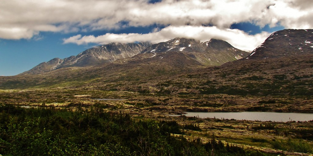
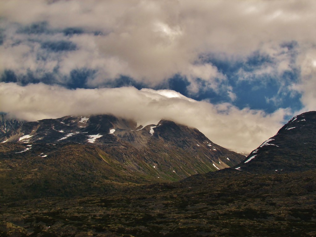
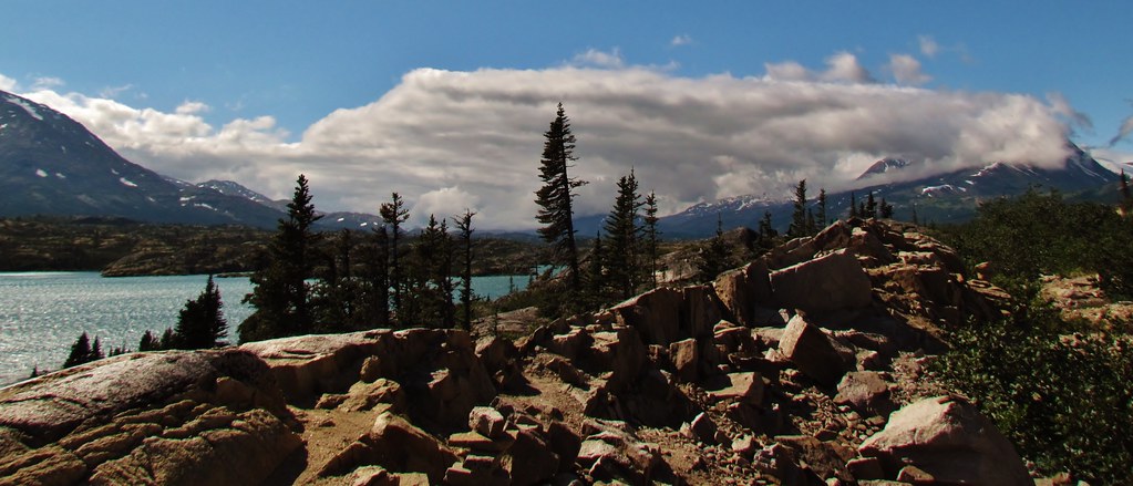
Related Photos:
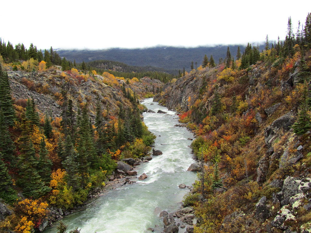
River Rapids
IMG_0756 (2)
IMG_0765 (2)
IMG_0750 (2)

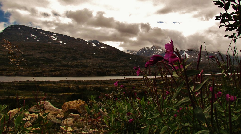
Gold Rush View
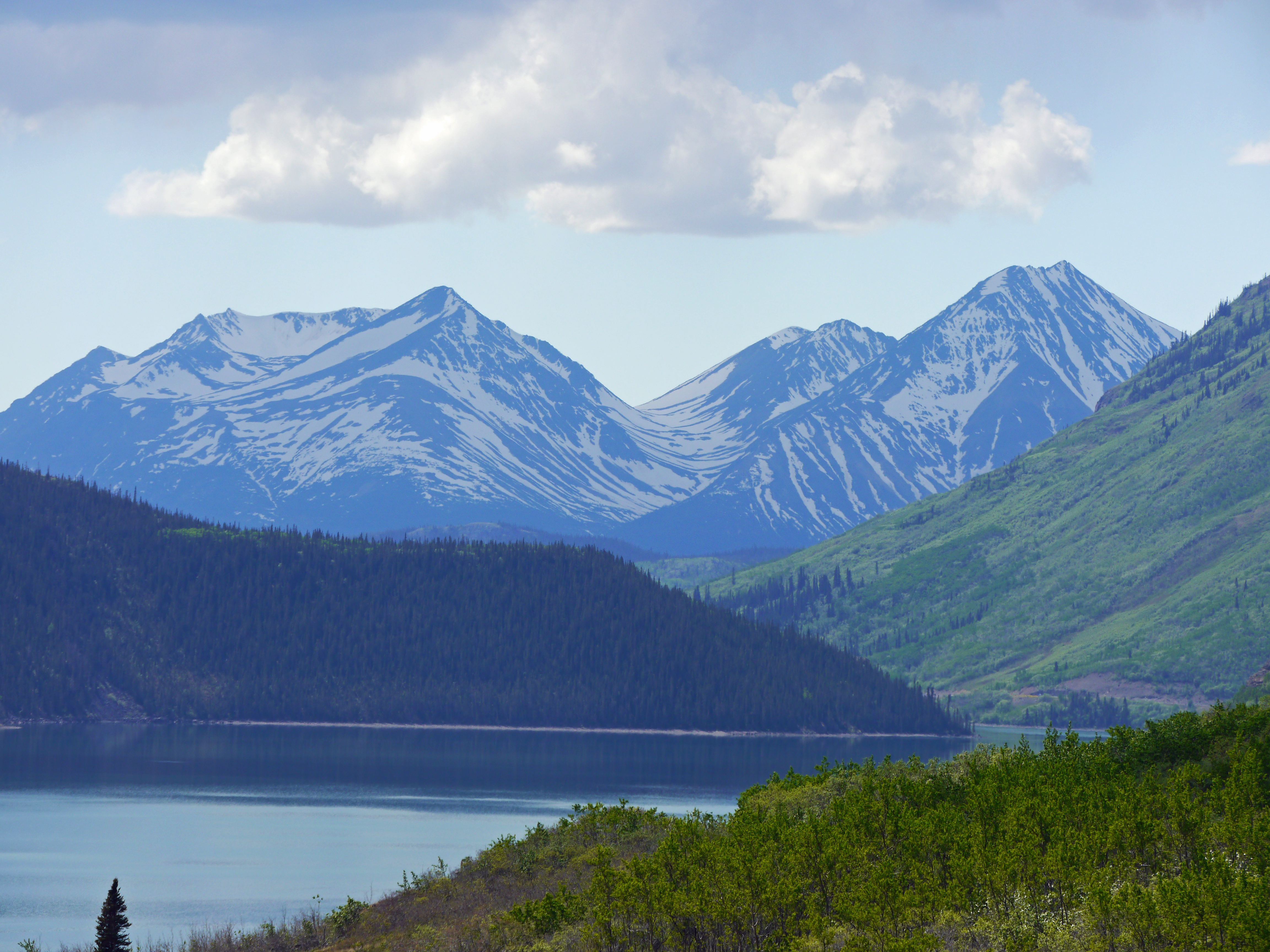
Yukon view
IMG_0753 (2)
IMG_0763 (2)
IMG_0720 (2)
IMG_0764 (2)
View from the Bridge
Topographic Map of Paddy Peak, Stikine Region, BC V0W, Canada
Find elevation by address:

Places near Paddy Peak, Stikine Region, BC V0W, Canada:
Bennett Peak
Bennett
Skelly Lk
Carcross
Surprise Mountain
Teepee Peak
Racine Lk
Racine Peak
Tagish Rd, Tagish, YT Y0B 1T0, Canada
Tagish
Sunday Peak
Atlin
Recent Searches:
- Elevation of Corso Fratelli Cairoli, 35, Macerata MC, Italy
- Elevation of Tallevast Rd, Sarasota, FL, USA
- Elevation of 4th St E, Sonoma, CA, USA
- Elevation of Black Hollow Rd, Pennsdale, PA, USA
- Elevation of Oakland Ave, Williamsport, PA, USA
- Elevation of Pedrógão Grande, Portugal
- Elevation of Klee Dr, Martinsburg, WV, USA
- Elevation of Via Roma, Pieranica CR, Italy
- Elevation of Tavkvetili Mountain, Georgia
- Elevation of Hartfords Bluff Cir, Mt Pleasant, SC, USA