Elevation of Padar Island, Komodo, West Manggarai Regency, East Nusa Tenggara, Indonesia

Location: Indonesia > East Nusa Tenggara >

Longitude: 119.583259

Latitude: -8.6489909

Elevation: 118m / 387feet

Barometric Pressure: 100KPa

Elevation Map:

elevation map of Padar Island, Komodo, West Manggarai Regency, East Nusa Tenggara, Indonesia

Satellite Map:

Satellite map of Padar Island, Komodo, West Manggarai Regency, East Nusa Tenggara, Indonesia

Related Photos:

asia flores gilipadar indonesia komodo labuhanbajo nusatenggara padar southeastasia adventure beach beaches boat clouds fernreise hiking holiday island islands landscape nature sea ship sky sunset tourism travel trekking vacation view walking wallpaper water nusatenggaratimur indonesien id
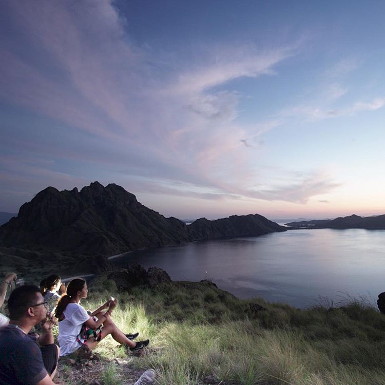
Sunset over Indonesia
asia flores gilipadar indonesia komodo labuhanbajo nusatenggara padar southeastasia adventure beach boat coastline hiking holiday island islands landscape morning nature sea ship sky sunrise tourism travel trekking vacation view walking wallpaper water nusatenggaratimur indonesien panorama
Komodo Island
water kelor island komodonationalpark sea blue hill hikingpath
Kelor Island, Komodo National Park, Indonesia
komododragon komodomonitor vulnerablespecies varanuskomodoensis muddystream drinkingwater reptile lizard wild wildlife leaflitter tree sideview lohbuayakomodonationalpark lessersundaislands rincaisland indonesia floressea
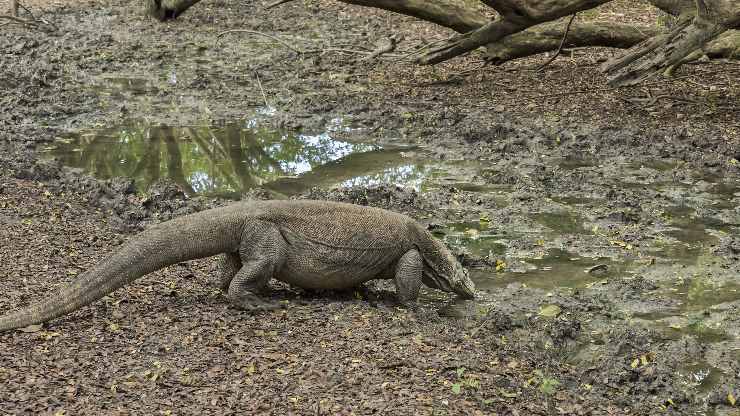
Thirsty Komodo dragon
lohbuayakomodonationalpark komodonationalpark boats nature clouds blue sky outdoors ocean water mountains landscape panorama rinca rincaisland eastnusatenggara flores indonesia
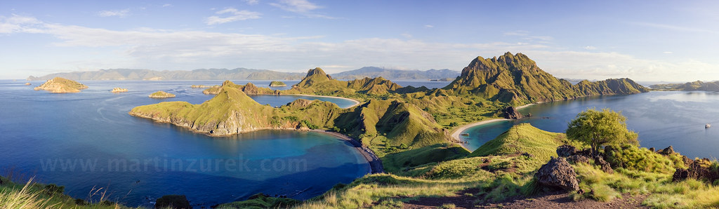
Komodo National Park Pano
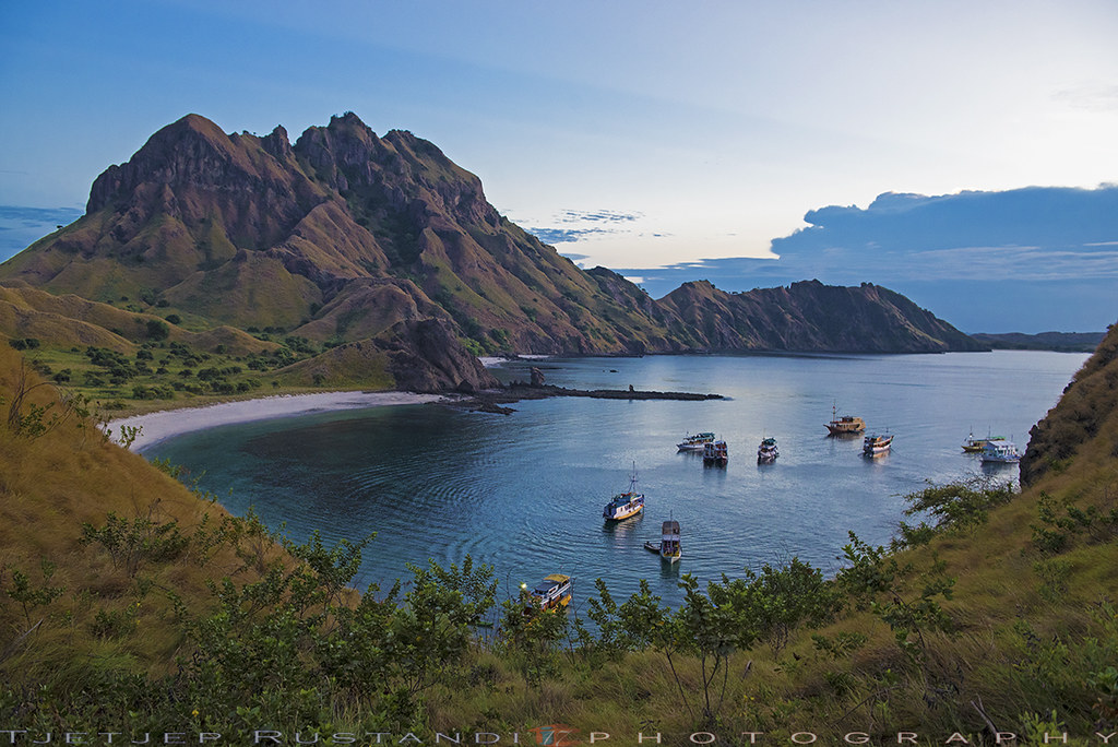
View at Pulau Padar, Komodo National Park
instagramapp square squareformat iphoneography uploaded:by=instagram
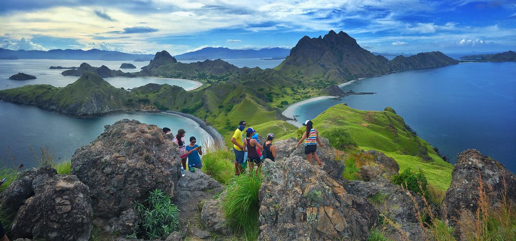
Catching sunrise at Padar Island, we start the trekking at 5 o'clock, to catch the sunrise, we manage to get the great position (before the top of hills) to get the best view of sunrise. . Thanks to @longlastingtrip for great experience. . #wonderfulindon
sunset indonesia asia flyingfox pulau komodo fruitbat 2016 kalong rinja tomfrohnhofer
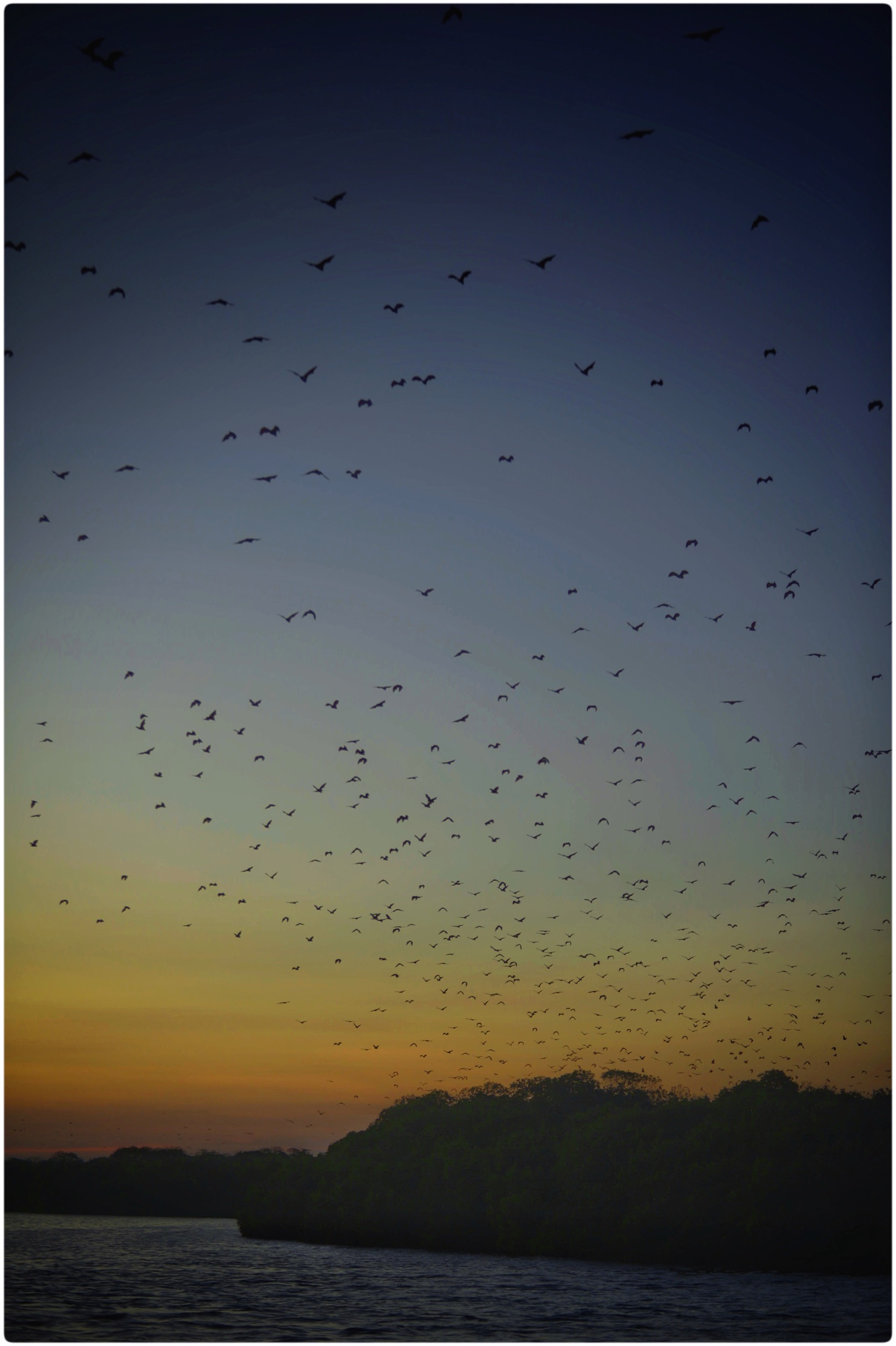
Bat Island near Pulau Kalong. Flying foxes taking off.
square squareformat iphoneography instagramapp uploaded:by=instagram
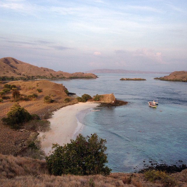
View of "Pink Beach" from the top of a hill
park flores tongue indonesia island volcano asia dragon south dragons east lizard national volcanic komodo rinca
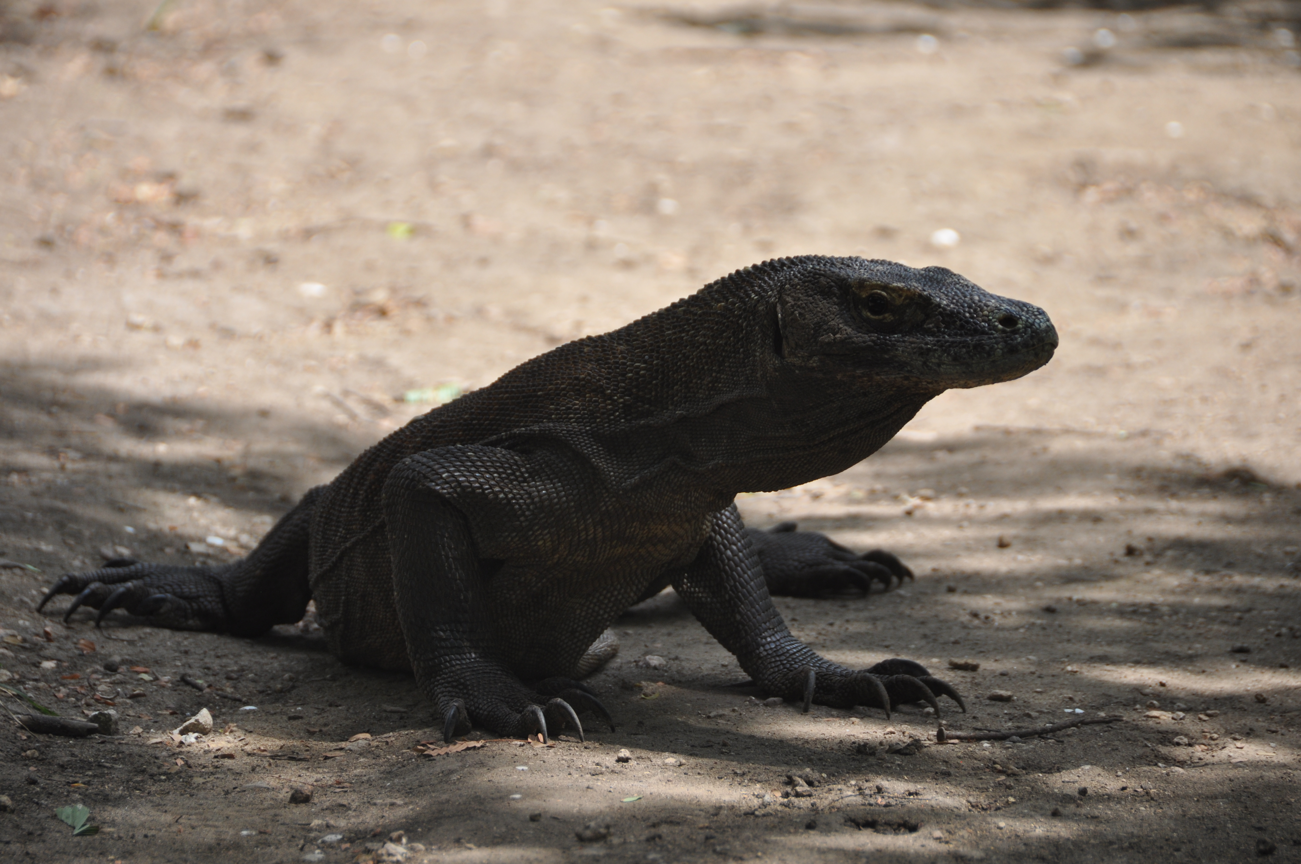
First view of a Komodo Dragon
Padar Island
Good morning island
flores indonesia geotagged nikkor ntt teeje d5000 eastnusatenggara komodovillage geo:lat=8593125009009675 geo:lon=11948826641398614
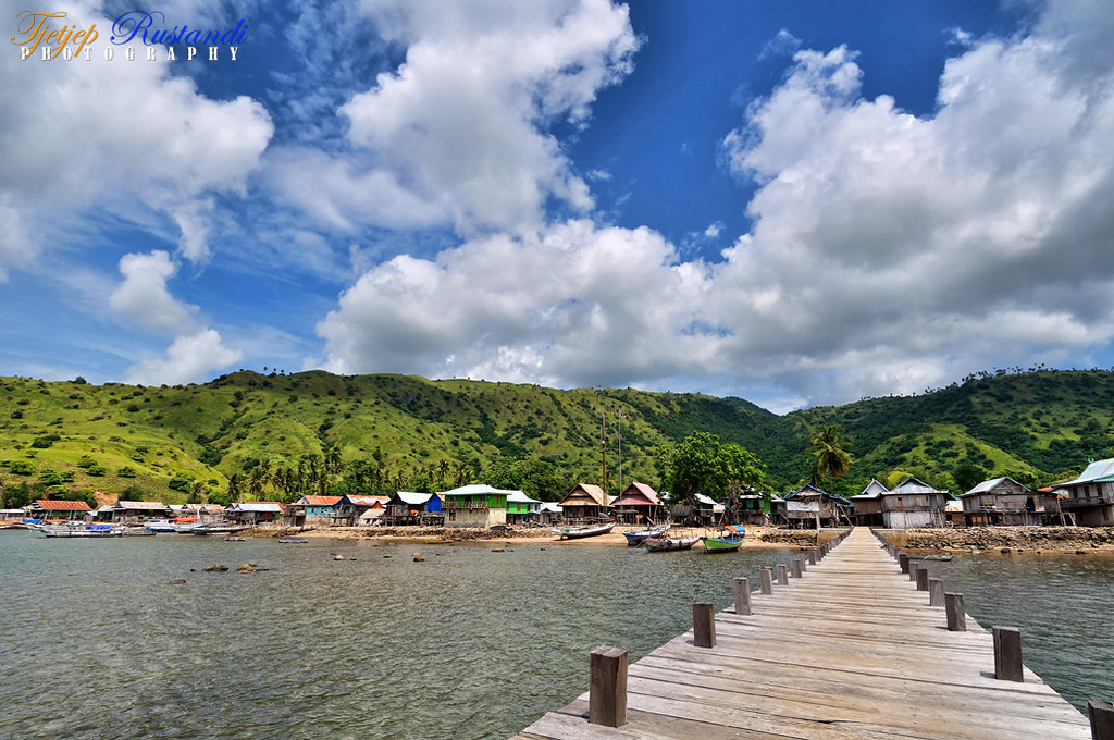
Komodo village from second pier
indonesia komodonationalpark padarisland dji mavic teeje fc220 padar island beaches flores
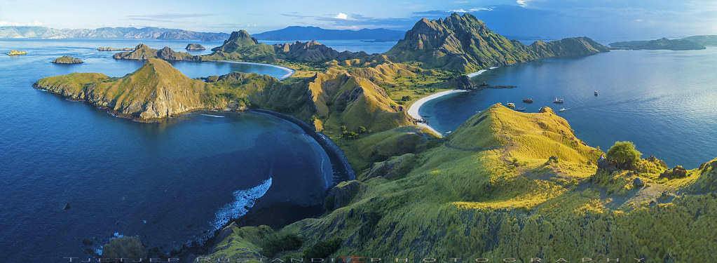
Padar island panorama
indonesia komodonationalpark padarisland d750 nikkor teeje nikon2470mmf28 lbwarmingcpl beach island pier morning
Padar pier
Us at Padar Island
Padar Island
travel sky heritage wonderful indonesia landscape bluesky komodo komodoisland padarisland
You make me waiting
focuswedstrijd
Pulau Padar Panorama
Padar Island
Padar Island
padarisland pulaupadar flores boats nature blue sky outdoors ocean water beach sand shore seaside coast coralreef mountains landscape eastnusatenggara indonesia
Padar Island, Flores
padarisland pulaupadar flores nature blue sky outdoors ocean water beach sand shore seaside coast coralreef mountains landscape eastnusatenggara indonesia
Padar Island, Flores
rincaisland lohbuaya komodonationalpark komodotours photographytours indonesia
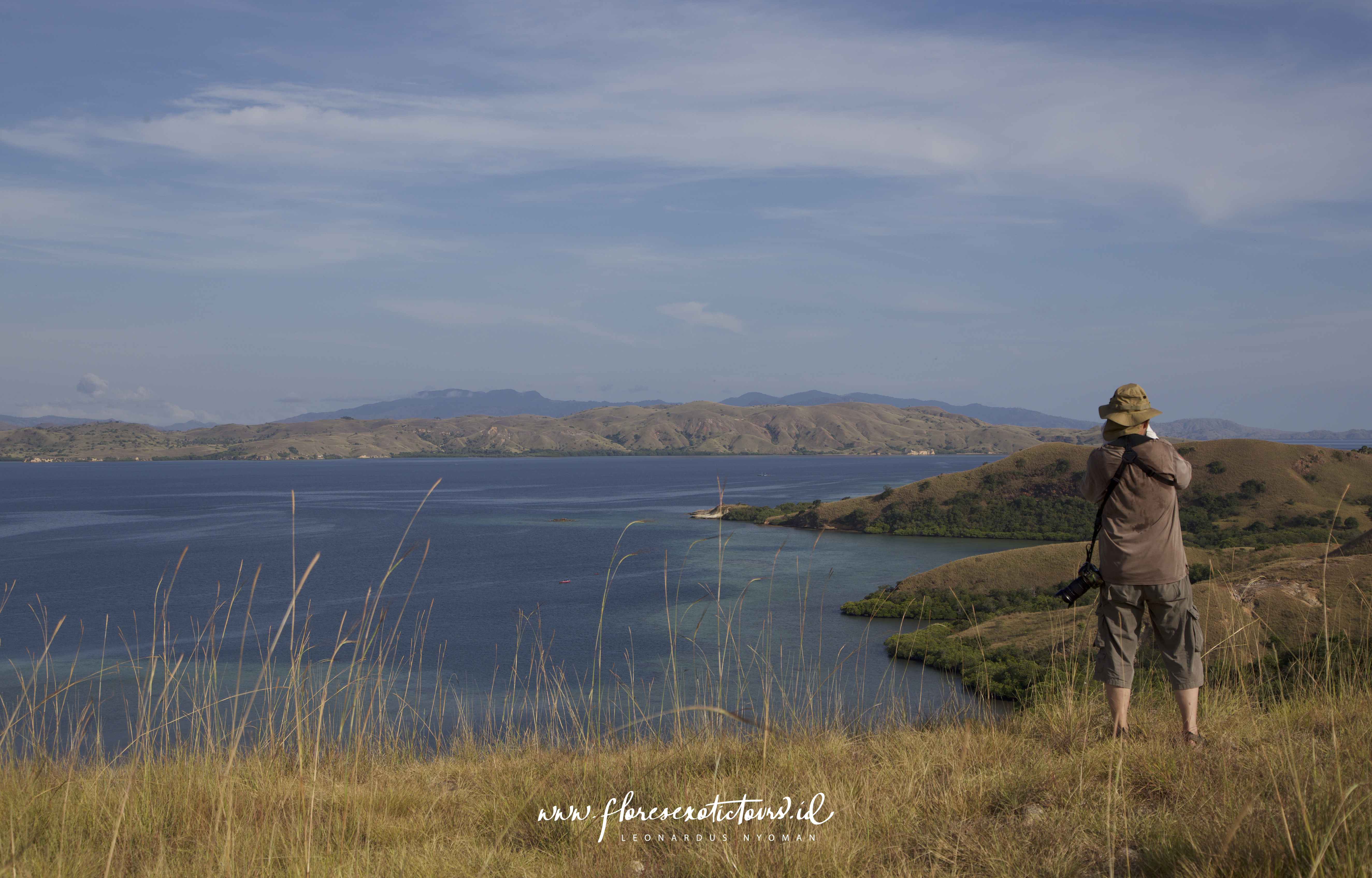
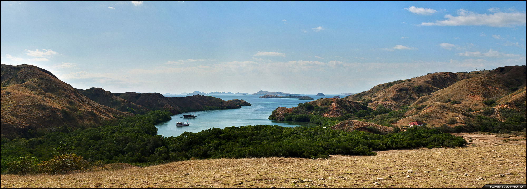
Land and Seascape from Rinca island
Padar Island
flores indonesia geotagged nikkor ntt teeje d5000 eastnusatenggara pinkisland geo:lat=8606544191533624 geo:lon=11952621403173828
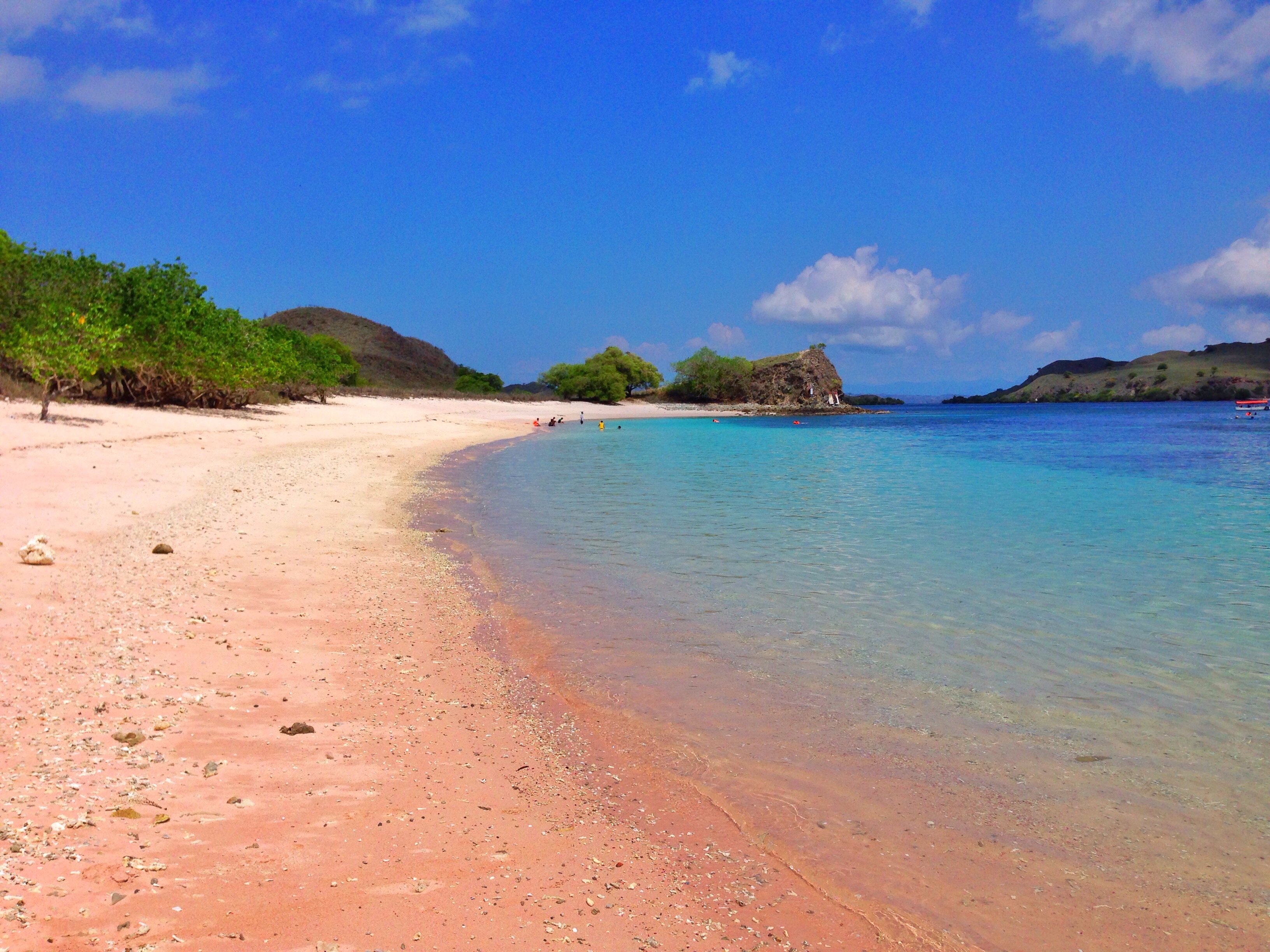
Here we come again Pink island
flores indonesia geotagged nikkor ntt komodo teeje d5000 eastnusatenggara pinkisland geo:lat=8609154114041116 geo:lon=11952501233862301
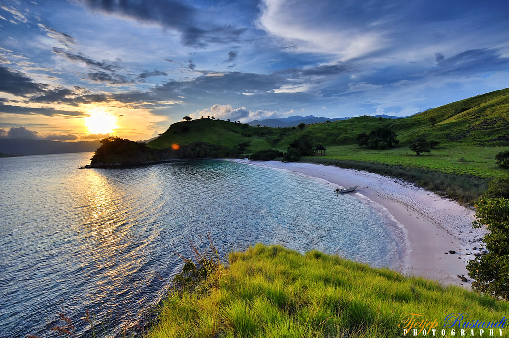
Pinky island in sunset
flores indonesia geotagged nikkor ntt teeje d5000 eastnusatenggara pinkisland geo:lat=8609865119810145 geo:lon=11952391806082153
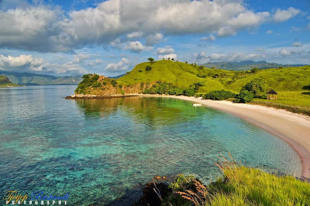
Morning bright at Pink island
flores indonesia geotagged nikkor ntt teeje d5000 eastnusatenggara pinkisland geo:lat=8606029702126614 geo:lon=1195271742943039
At the peak of Pink island