Elevation of Pacific Rim Hwy, Alberni-Clayoquot D, BC V0R, Canada
Location: Canada > British Columbia > Alberni-clayoquot >
Longitude: -125.29663
Latitude: 49.2951076
Elevation: 58m / 190feet
Barometric Pressure: 101KPa
Elevation Map:
Satellite Map:
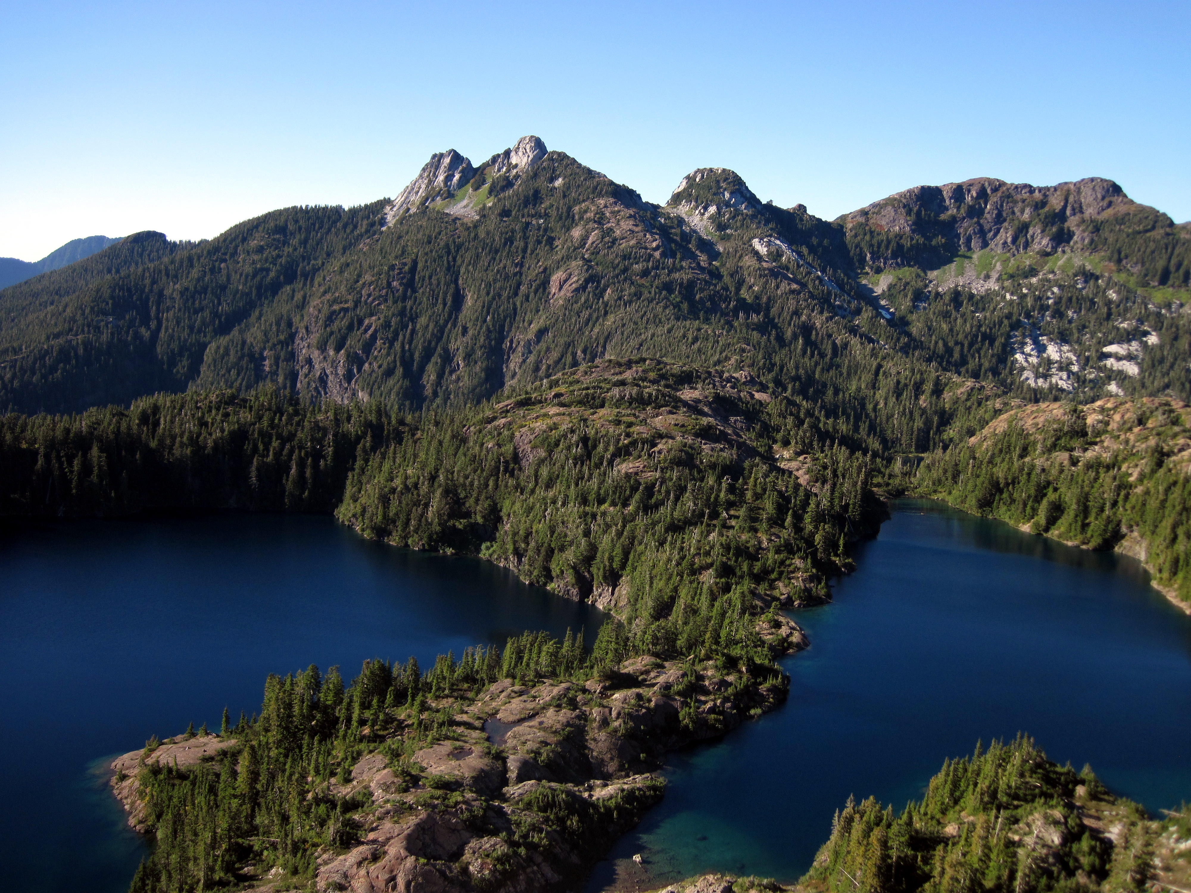
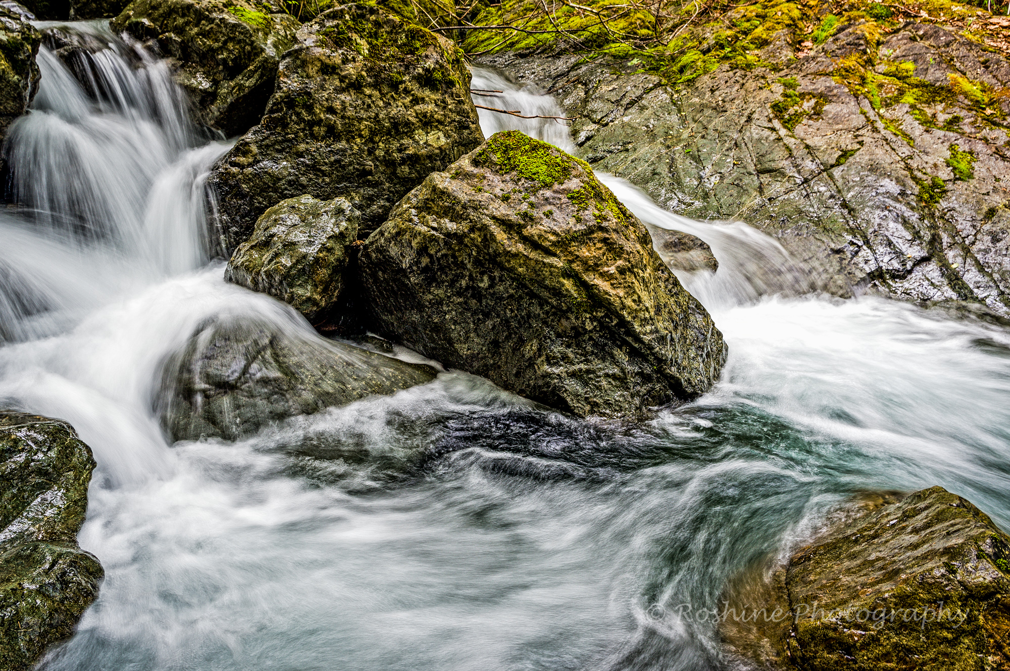
Related Photos:
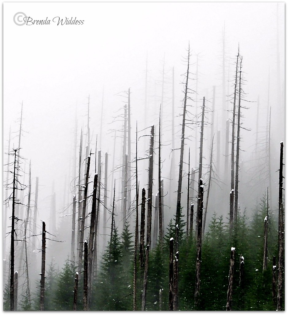
fog on the flats

I'm feeling blue!
Logging Road View
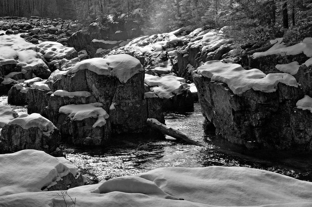
Kennedy River Black and White
Logging Road View

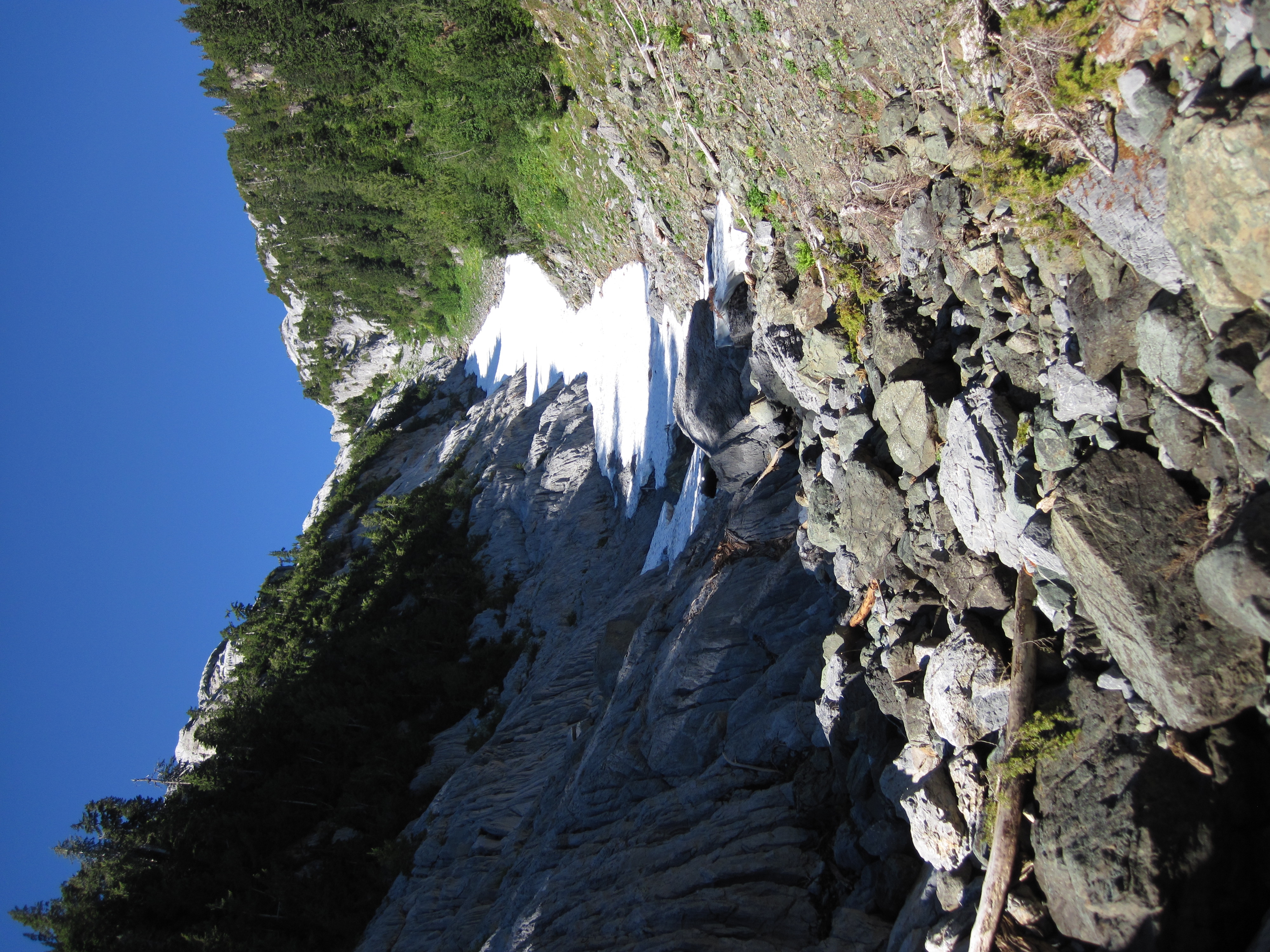
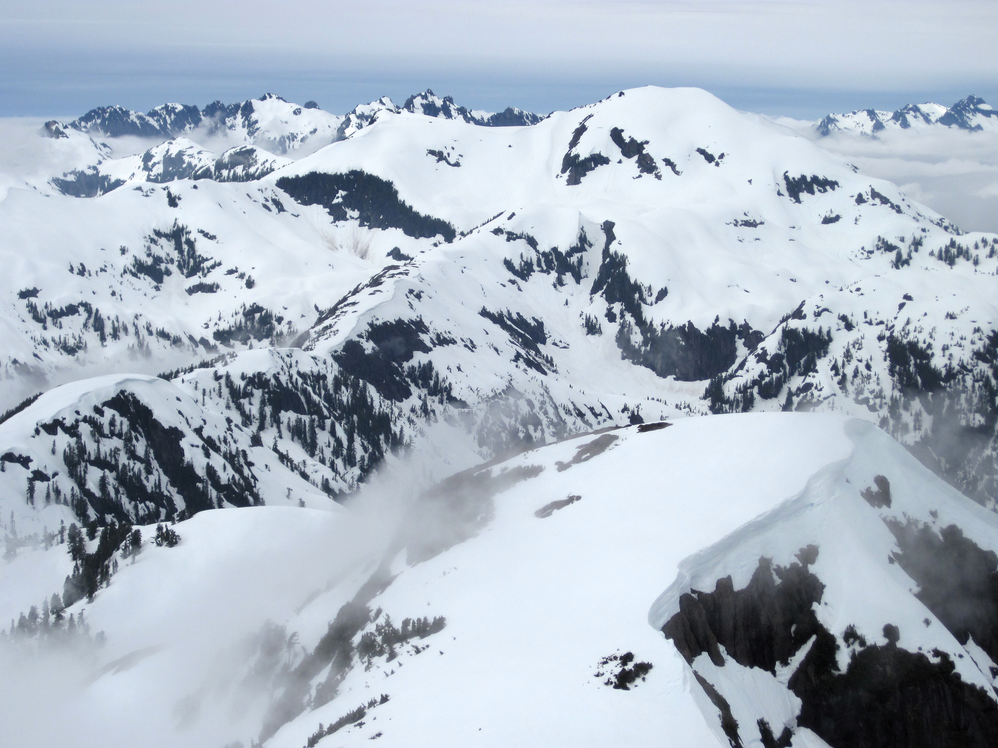
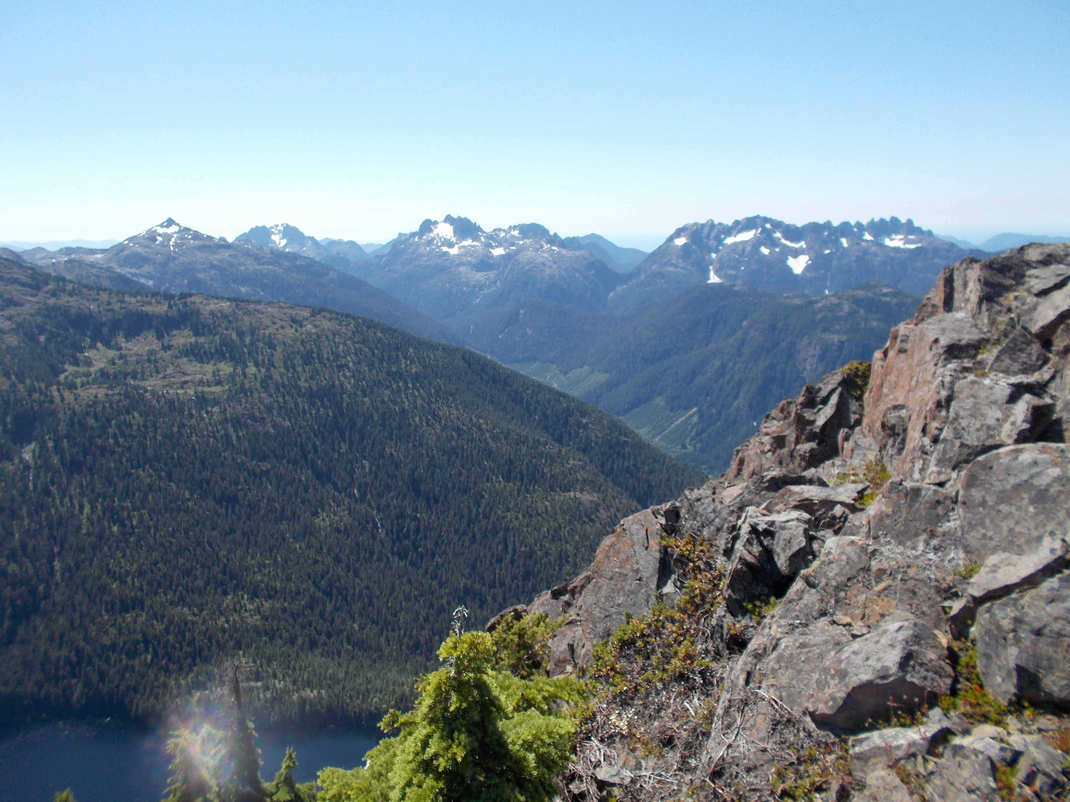
5040 Peak

5040 Peak
Up the Valley
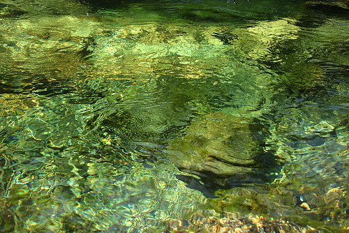
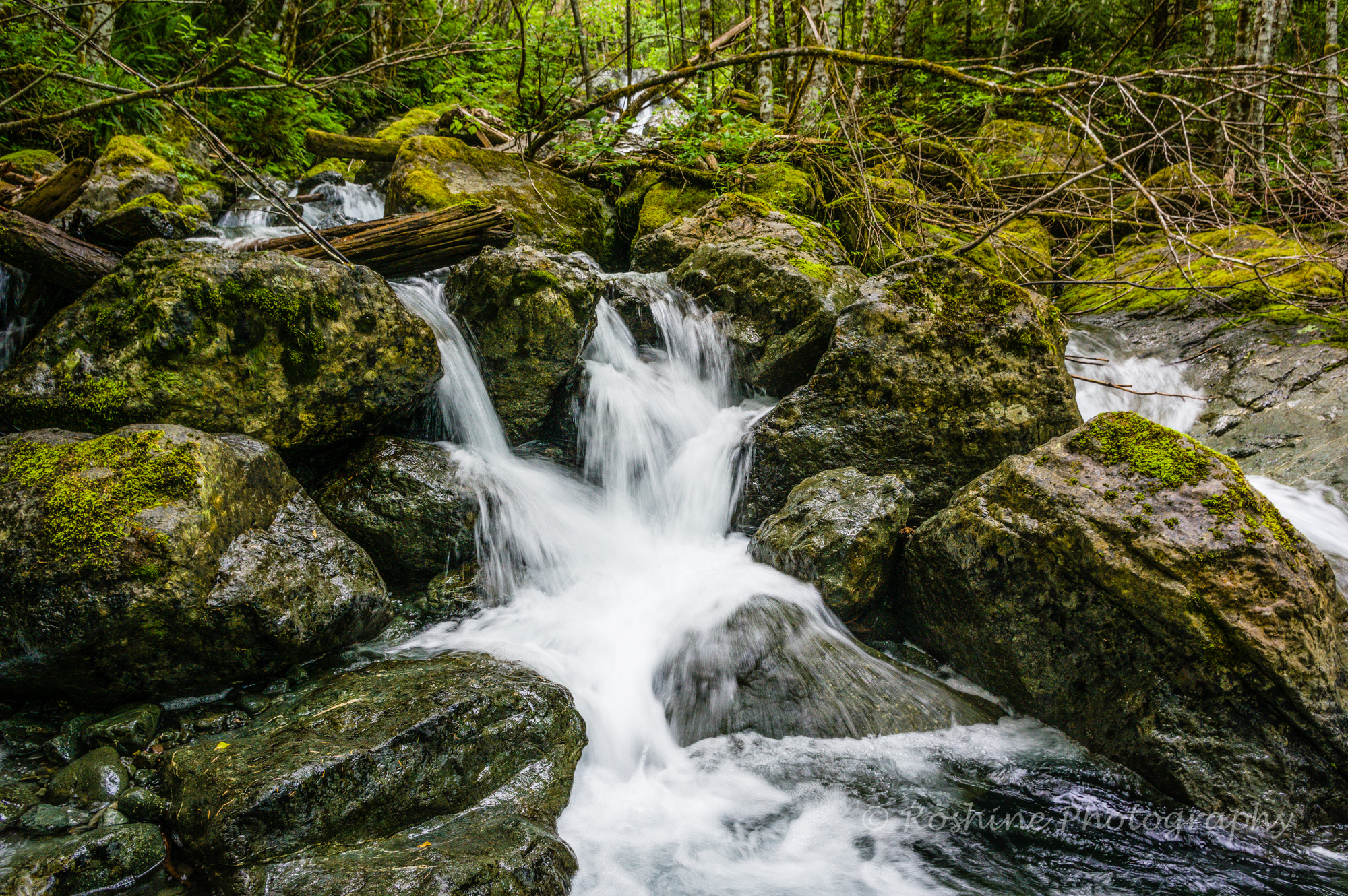
Green Depths

5040 Peak
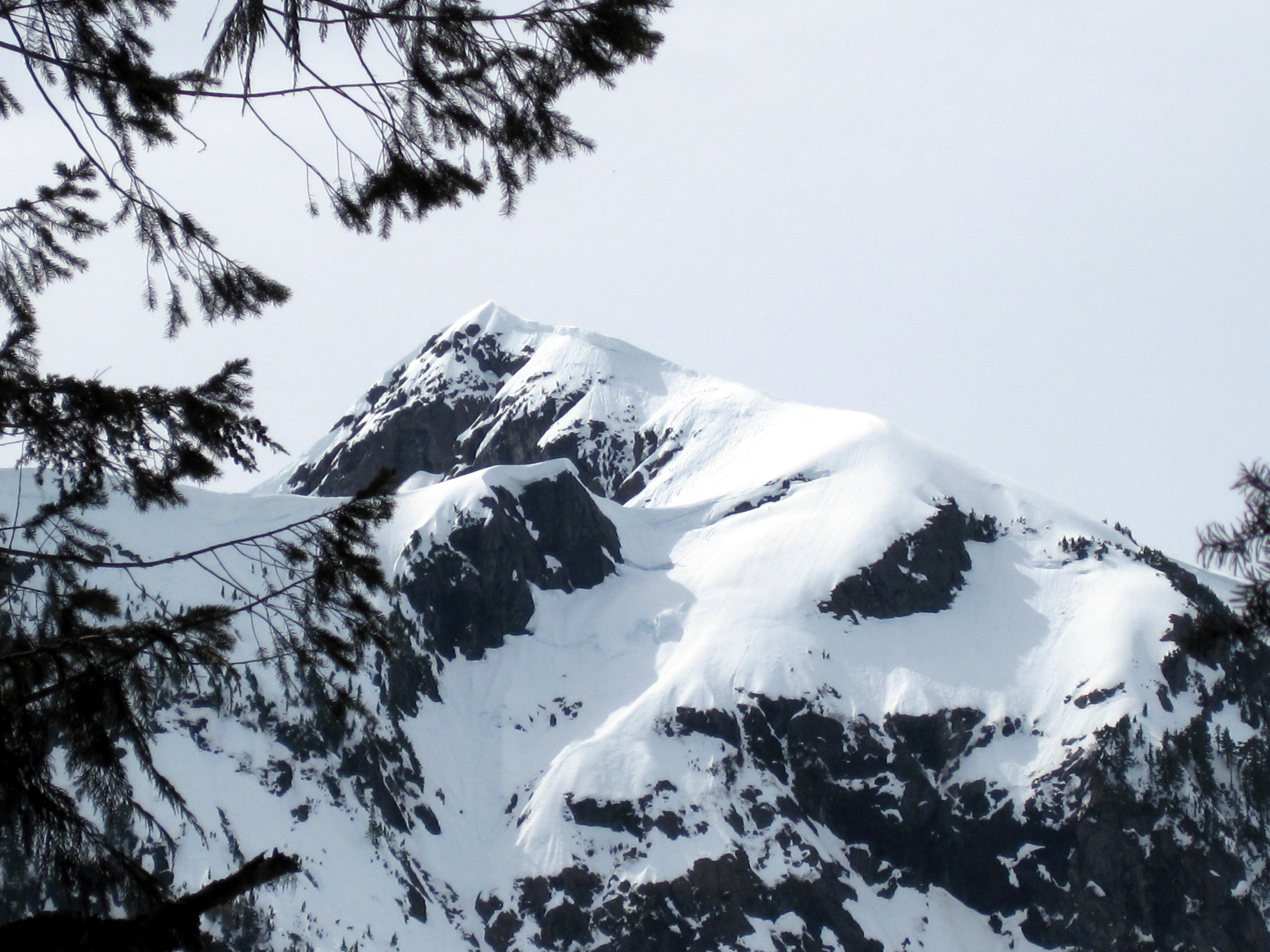
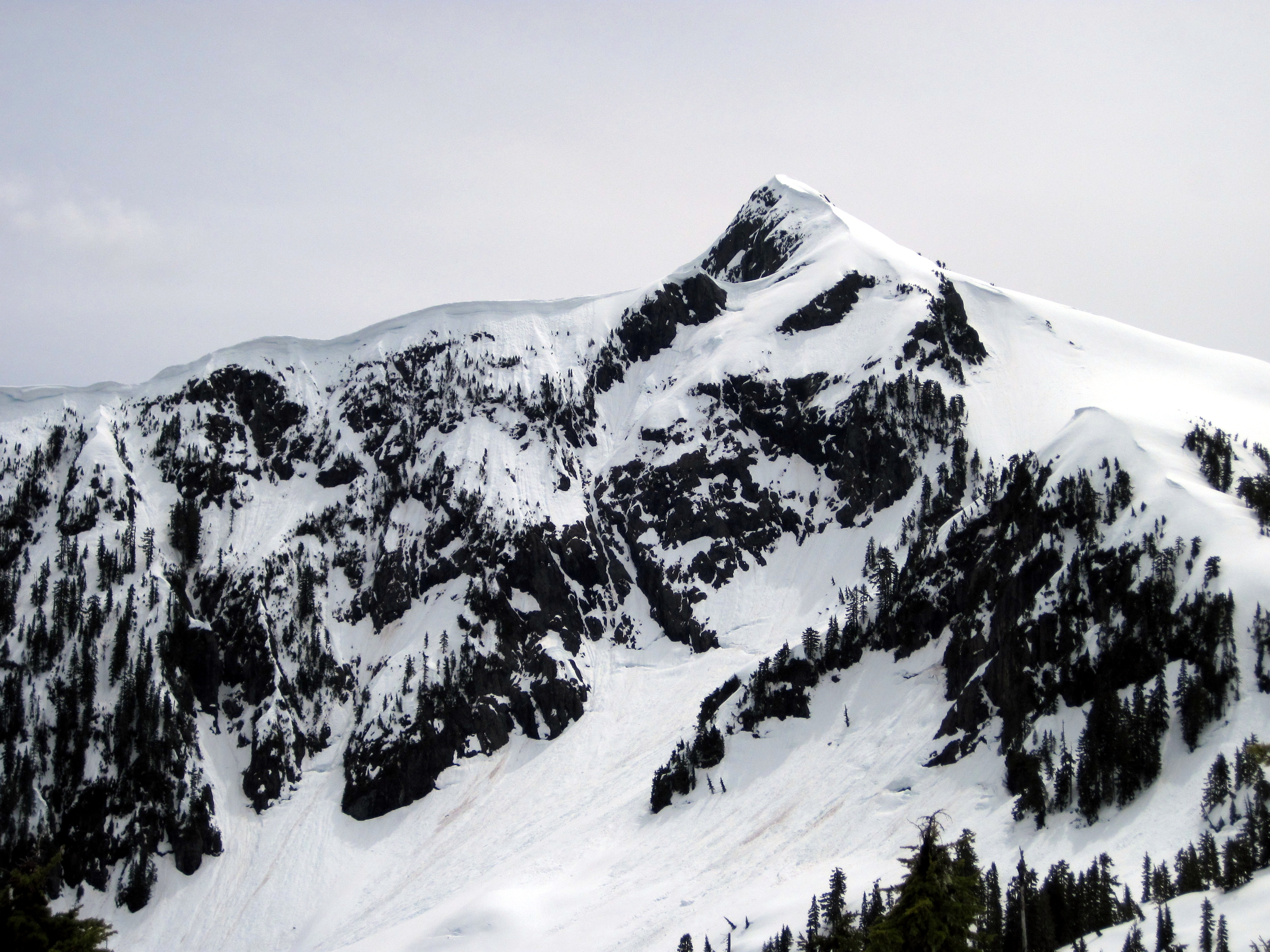
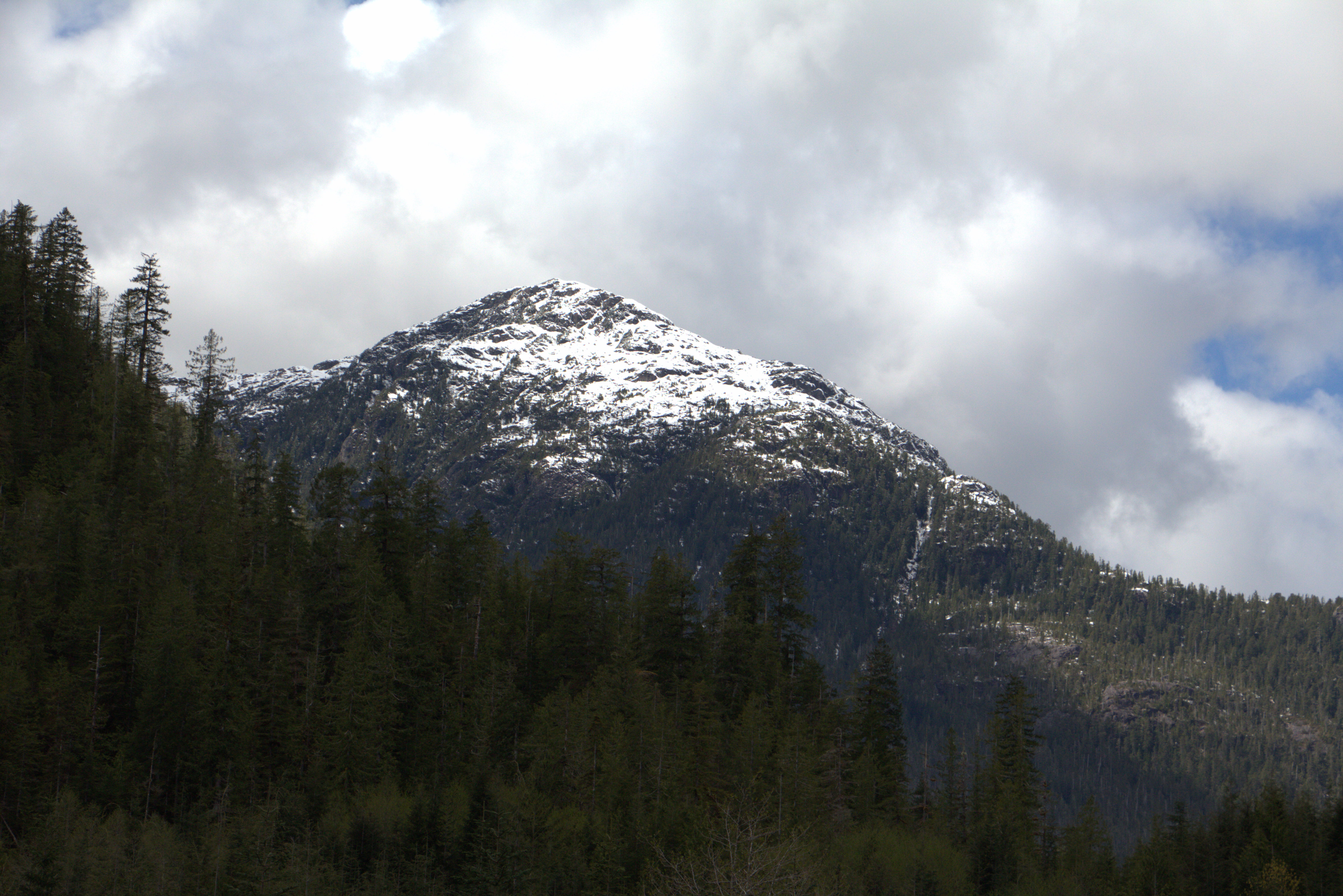
Mount Klitsa

Mackenzie Range (West End)
Jack's Peak

Mount Klitsa

5040 Peak
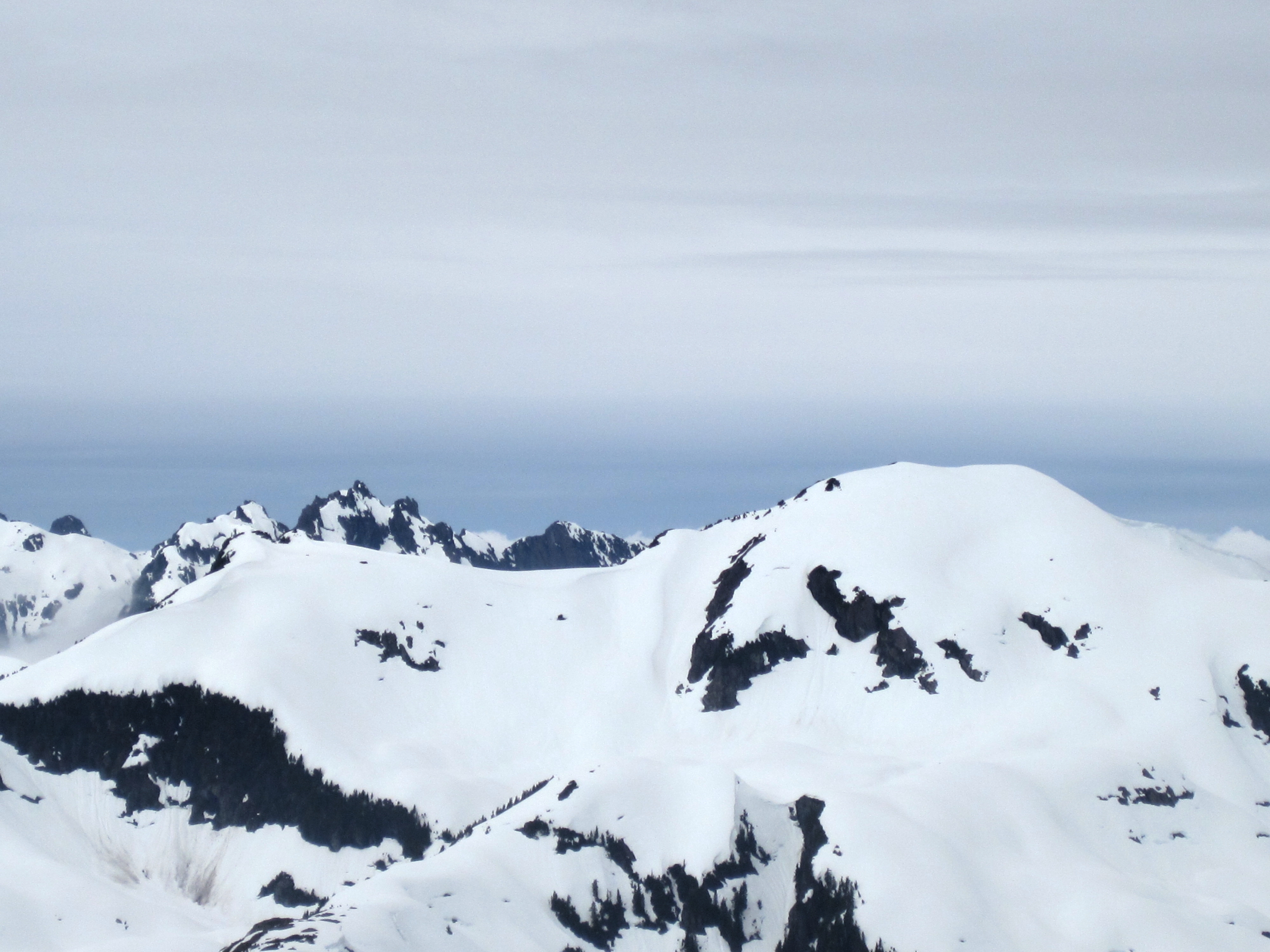
Snowy Ridge
Mackenzie Range (East End)
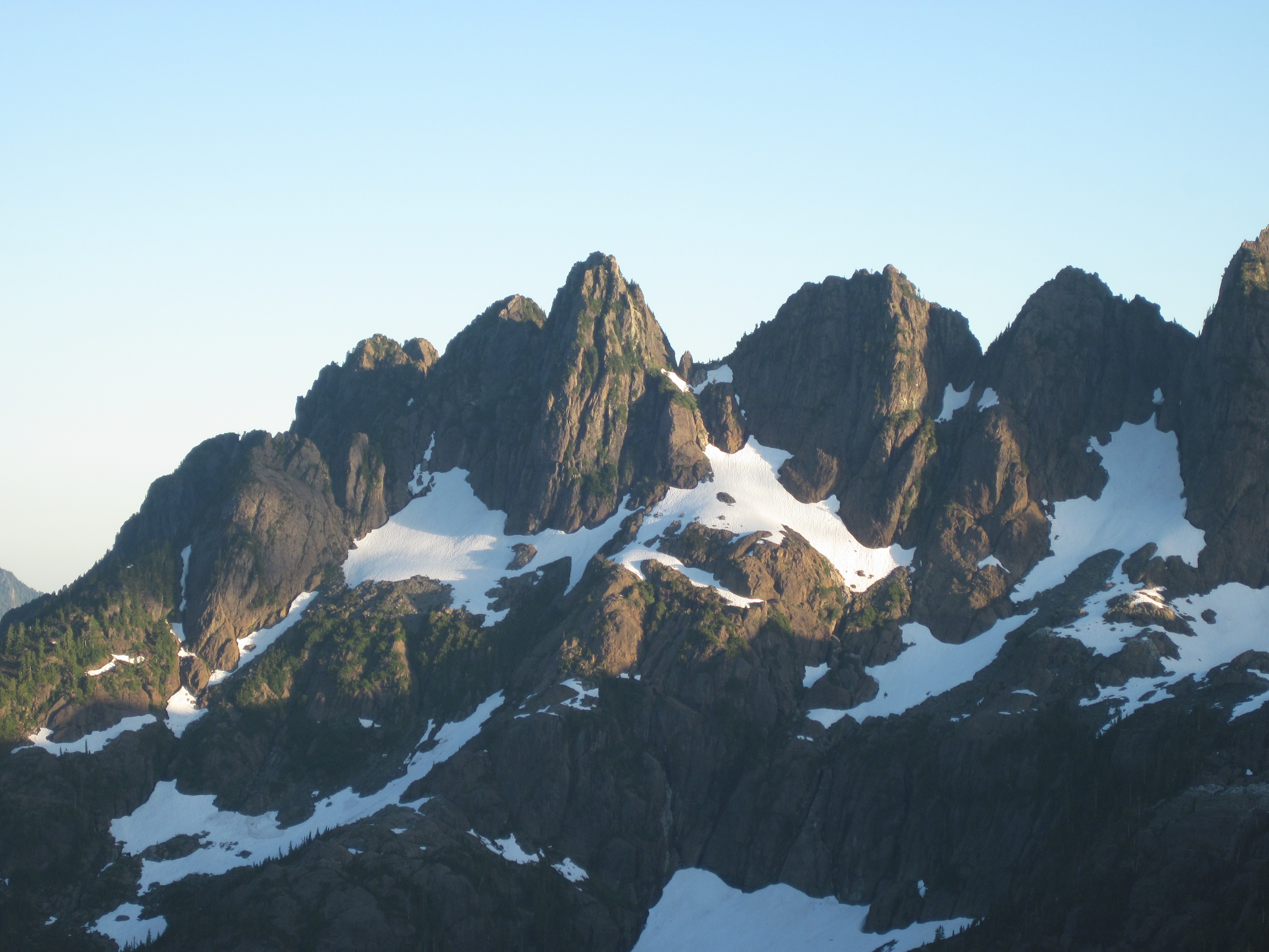
Cat's Ears and 50-40
Mount Klitsa
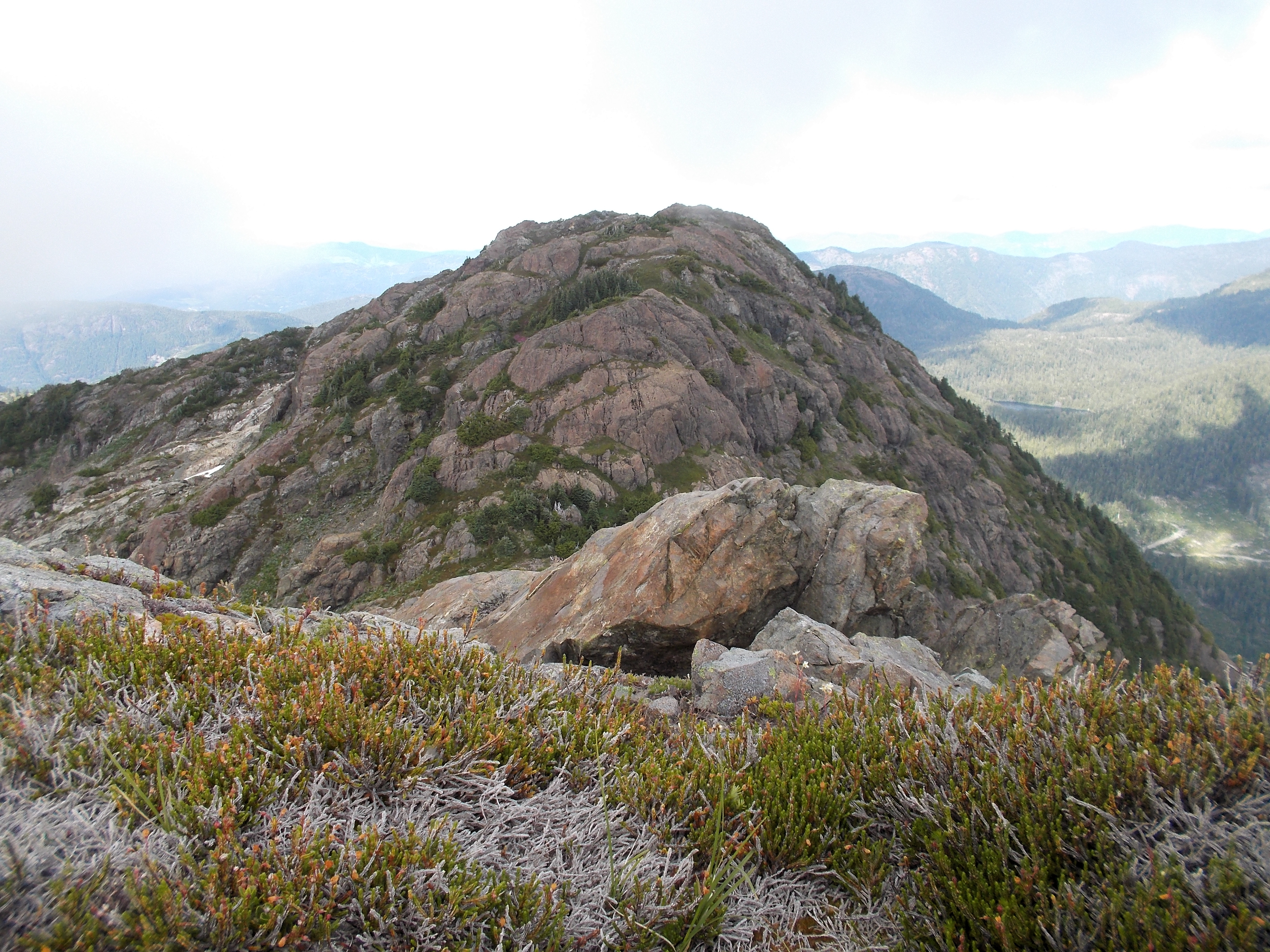
Looking South

Mackenzie Range (West End)

Clayoquot Plateau

Nahmint Mountain

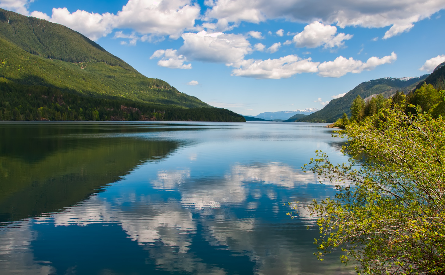
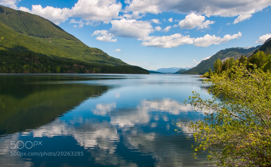
Sproat Lake Panorama
Unnamed Peak

West Tower
Amongst the Rocks

Sproat Lake

Mount Maitland and Hidden Peak
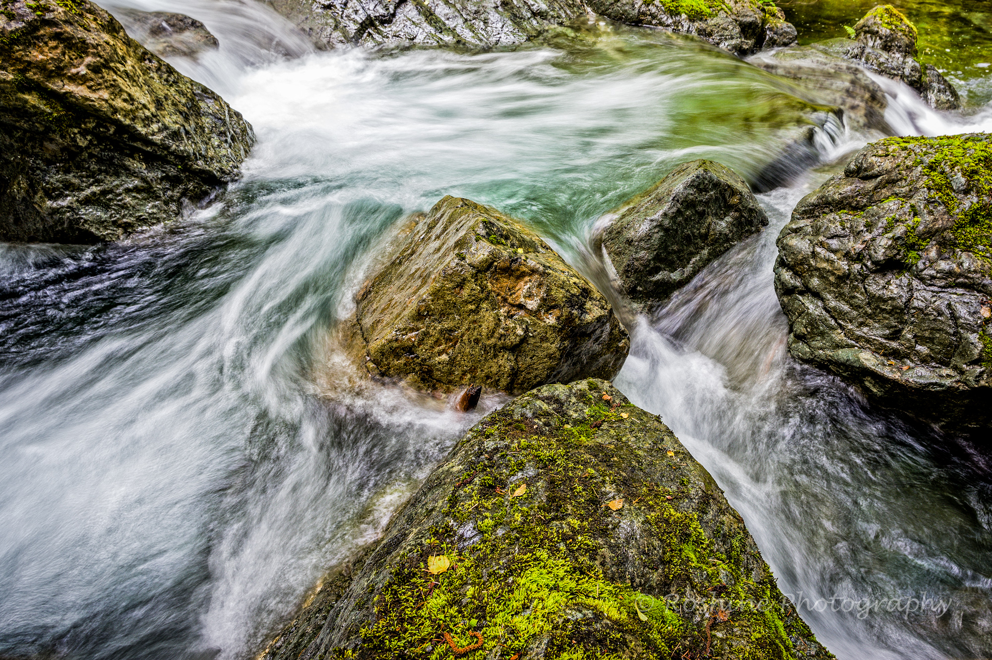
Dividing of the Waters
Clayoquot Plateau

Klitsa Mountain

5040 Peak

Nahmint Mountain

Nahmint Mountain
Choosing its Course

Klitsa Mountain

Mackenzie Range

Triple Peak
Topographic Map of Pacific Rim Hwy, Alberni-Clayoquot D, BC V0R, Canada
Find elevation by address:

Places near Pacific Rim Hwy, Alberni-Clayoquot D, BC V0R, Canada:
Argus Mountain
Bedwell Lake
Bedwell Trail
Vancouver Island
Comox-strathcona C
Lower Myra Falls
Kwai Lake Campground
Mount Albert Edward
Ralph River Campground
Circlet Lake Campground
Arnica Lake Trail
Lake Helen Mackenzie
Alberni-clayoquot C
Bear Lodge, Mount Washington
Mount Washington
Buttle Lake
2846 Bruce Rd
2846 Bruce Rd
Golden Hinde
9552 Martin Park Dr
Recent Searches:
- Elevation of 1 Zion Park Blvd, Springdale, UT, USA
- Elevation of Ganderbal
- Elevation map of Konkan Division, Maharashtra, India
- Elevation of Netaji Nagar, Hallow Pul, Kurla, Mumbai, Maharashtra, India
- Elevation of Uralsk, Kazakhstan
- Elevation of 45- Kahana Dr, Honokaa, HI, USA
- Elevation of New Mexico 30, NM-30, Española, NM, USA
- Elevation of Santmyer Way, Charles Town, WV, USA
- Elevation of Riserva Naturale Lago di Montepulciano, Italy
- Elevation of Marjorie Lane, Marjorie Ln, Whitefield, NH, USA