Elevation of Pachena Campground, 90 Anacla Rd, Bamfield, BC V0R 1B0, Canada
Location: Canada > British Columbia >
Longitude: -125.12473
Latitude: 48.7973442
Elevation: 7m / 23feet
Barometric Pressure: 101KPa
Elevation Map:
Satellite Map:
Related Photos:

WCT - Day 7 - Kitchen view.

1913 Panorama view of the rocky shore near the Valencia Bluffs from high up on the West Coast Trail

Pachena Bay - On our way Home!

ocean storm, Pacific Rim NP, Vancouver, 1999_03_28 003.jpg

Group Shot @ Pachena Bay

WCT - Day 7 - Last View.

Bamfield Marine Sciences Center (Water View)

Wed - Fire in the Sky

Rainbow 4

Intensity @ Brady Beach

ocean storm, Pacific Rim NP, Vancouver, 1999_03_28 001.jpg

Tranquility @ Brady Beach

View From Bamfield Marine Sciences Center Main Building

0818 View from the Pachena Bay beach at midnight under full moon shining through high clouds

Cormorant in the morning

ocean storm, driftwood, logs, timber, Pacific Rim NP, Vancouver, 1999_03_28 001.jpg

Low Tide Views of Beach Near Bamfield

Rainbow 3

ocean storm, Pacific Rim NP, Vancouver, 1999_03_28 002.jpg

1209 Panorama view from the lookout spot above Sea Lion Rock on the West Coast Trail - we had lunch here

View ahead towards north at Orange Juice Creek

Giant Old Cedar

Barkley Sound blue

Wave Cut Notch, Vancouver Island, Canada
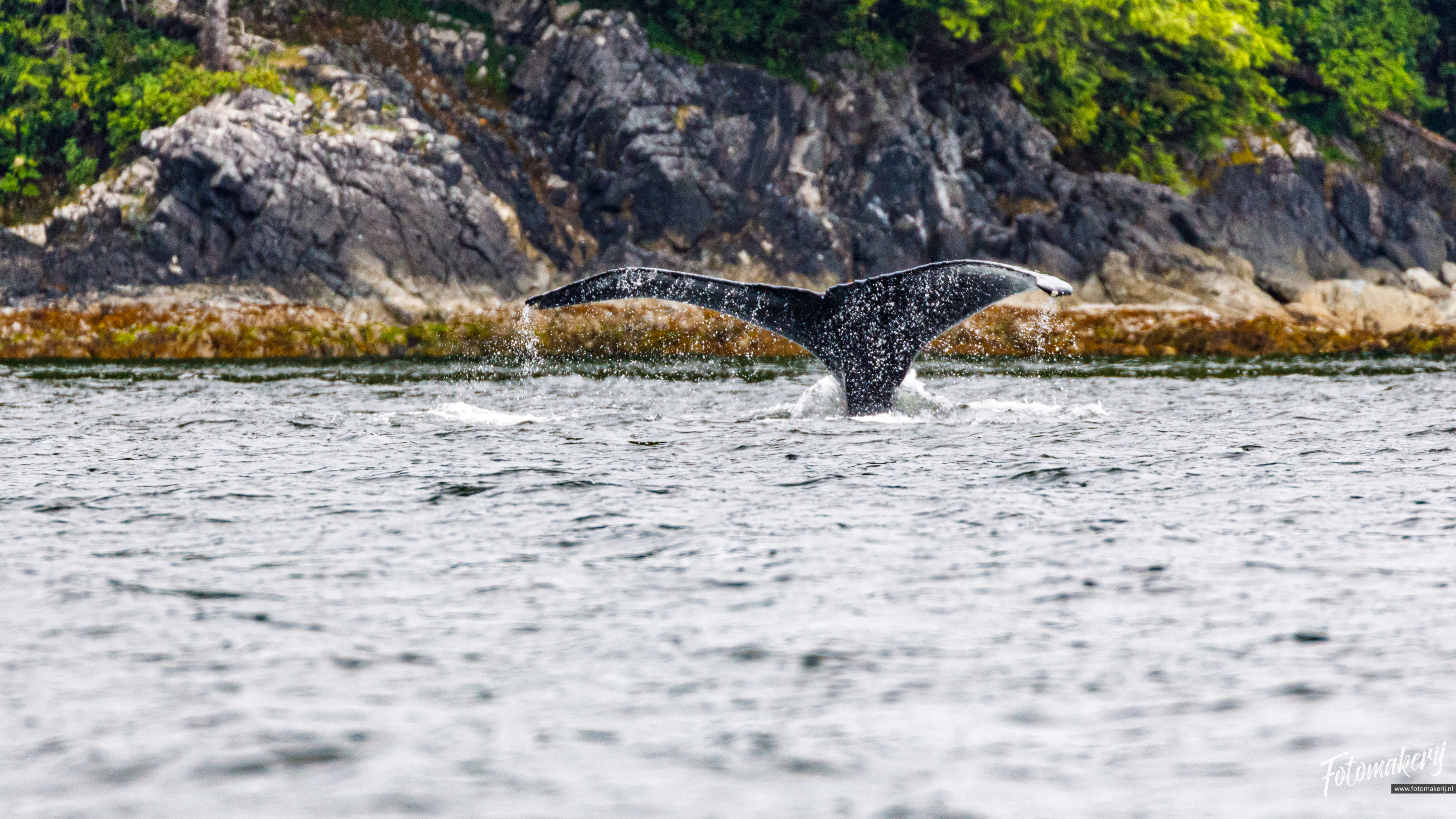
Humpback Whale

West Coast Trail, Vancouver Island, Canada

a reflection on marine flora

Bamfield sunset (2)

August 2015 West Coast Trail - Crew #1

August 2015 West Coast Trail - Crew #1

August 2015 West Coast Trail - Crew #1

August 2015 West Coast Trail - Crew #1

August 2015 West Coast Trail - Crew #1

August 2015 West Coast Trail - Crew #1

August 2015 West Coast Trail - Crew #1

August 2015 West Coast Trail - Crew #1

August 2015 West Coast Trail - Crew #1

August 2015 West Coast Trail - Crew #1

August 2015 West Coast Trail - Crew #1
Topographic Map of Pachena Campground, 90 Anacla Rd, Bamfield, BC V0R 1B0, Canada
Find elevation by address:

Places near Pachena Campground, 90 Anacla Rd, Bamfield, BC V0R 1B0, Canada:
Whistlebuoy Road
Pachena Road
Bamfield
86 Wickhams Ln, Alberni-Clayoquot A, BC V0R, Canada
Poett Nook Marina And Campground
Alberni-clayoquot A
West Coast Trail
Nitinat Lake
Alberni Inlet Trailhead
Alberni-clayoquot F
Cape Flattery Road
120 Dia'ht Hill Dr
Dia'ht Hill Drive
Diaht Hill
173 Dia'ht Hill Dr
Neah Bay
Bayview Ave, Neah Bay, WA, USA
153 200 Line Rd
153 200 Line Rd
153 200 Line Rd
Recent Searches:
- Elevation of Corcoran Ln, Suffolk, VA, USA
- Elevation of Mamala II, Sariaya, Quezon, Philippines
- Elevation of Sarangdanda, Nepal
- Elevation of 7 Waterfall Way, Tomball, TX, USA
- Elevation of SW 57th Ave, Portland, OR, USA
- Elevation of Crocker Dr, Vacaville, CA, USA
- Elevation of Pu Ngaol Community Meeting Hall, HWHM+3X7, Krong Saen Monourom, Cambodia
- Elevation of Royal Ontario Museum, Queens Park, Toronto, ON M5S 2C6, Canada
- Elevation of Groblershoop, South Africa
- Elevation of Power Generation Enterprises | Industrial Diesel Generators, Oak Ave, Canyon Country, CA, USA