Elevation of PA-, Cherry Tree, PA, USA
Location: United States > Pennsylvania > Indiana County > Green Township >
Longitude: -78.830763
Latitude: 40.705086
Elevation: 495m / 1624feet
Barometric Pressure: 96KPa
Elevation Map:
Satellite Map:
Related Photos:

Snowy Owl -- Cambria County, Pennsylvania

homeland cross cut
DSC_8540 (2)
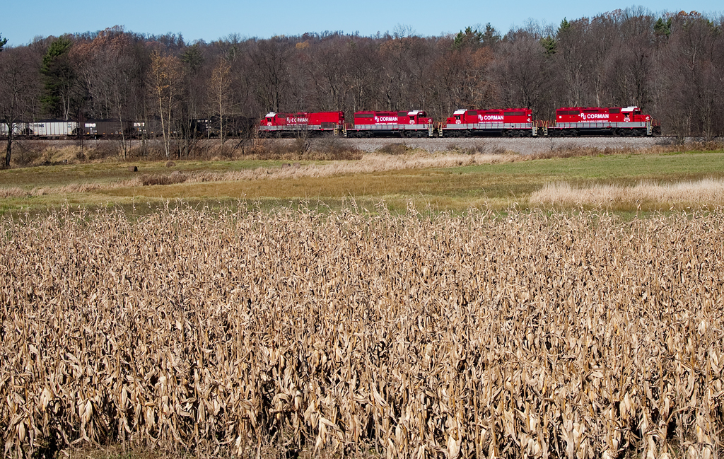
R.J. Corman EMD SD40-2 7084

DSC_7929-1
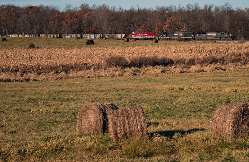
Norfolk Southern EMD SD70 2519
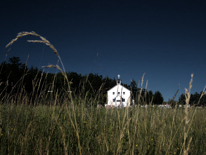
St. Joseph's Distance
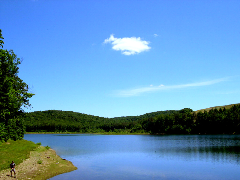
Pennsylvania Reservoir
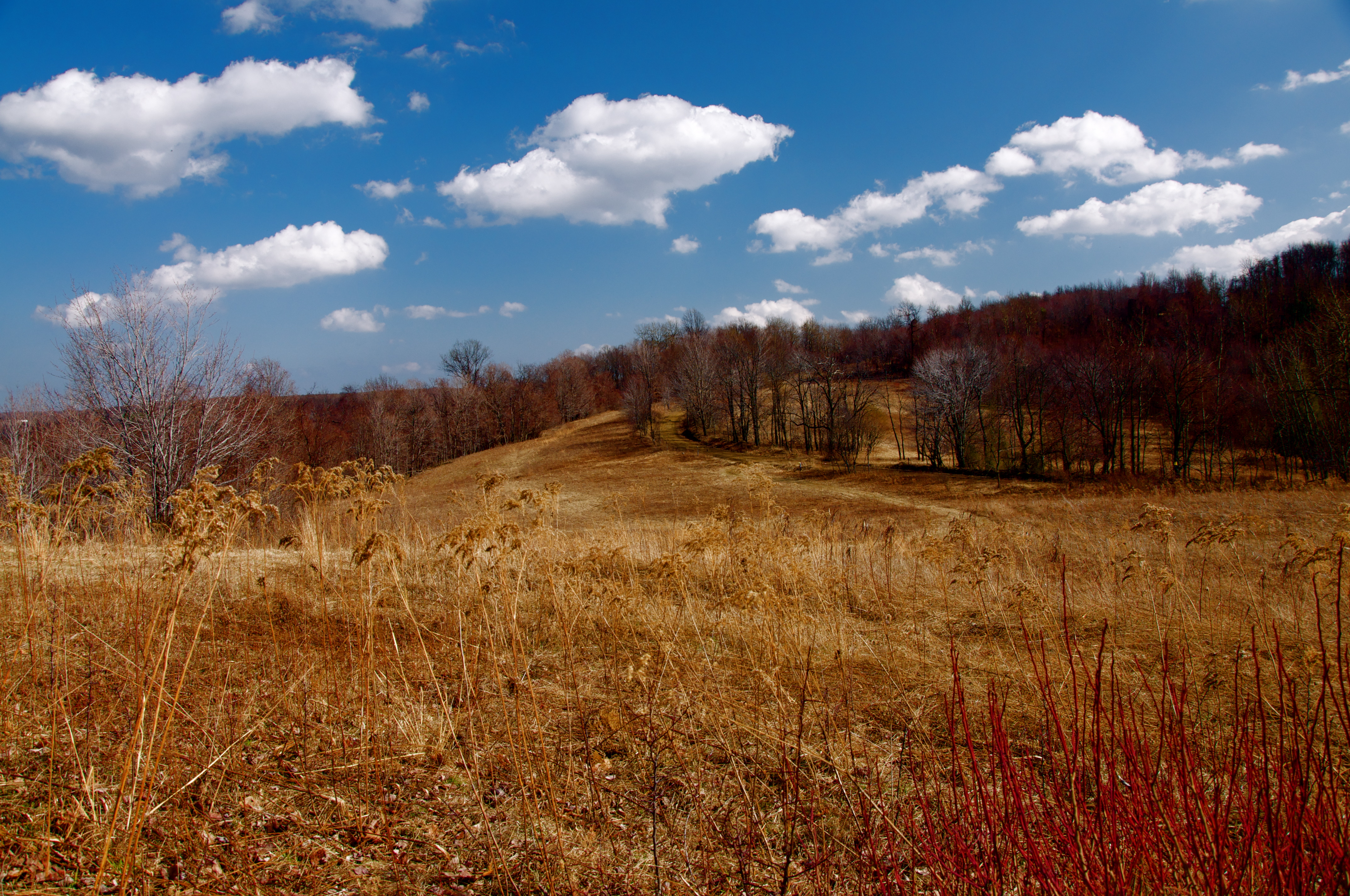
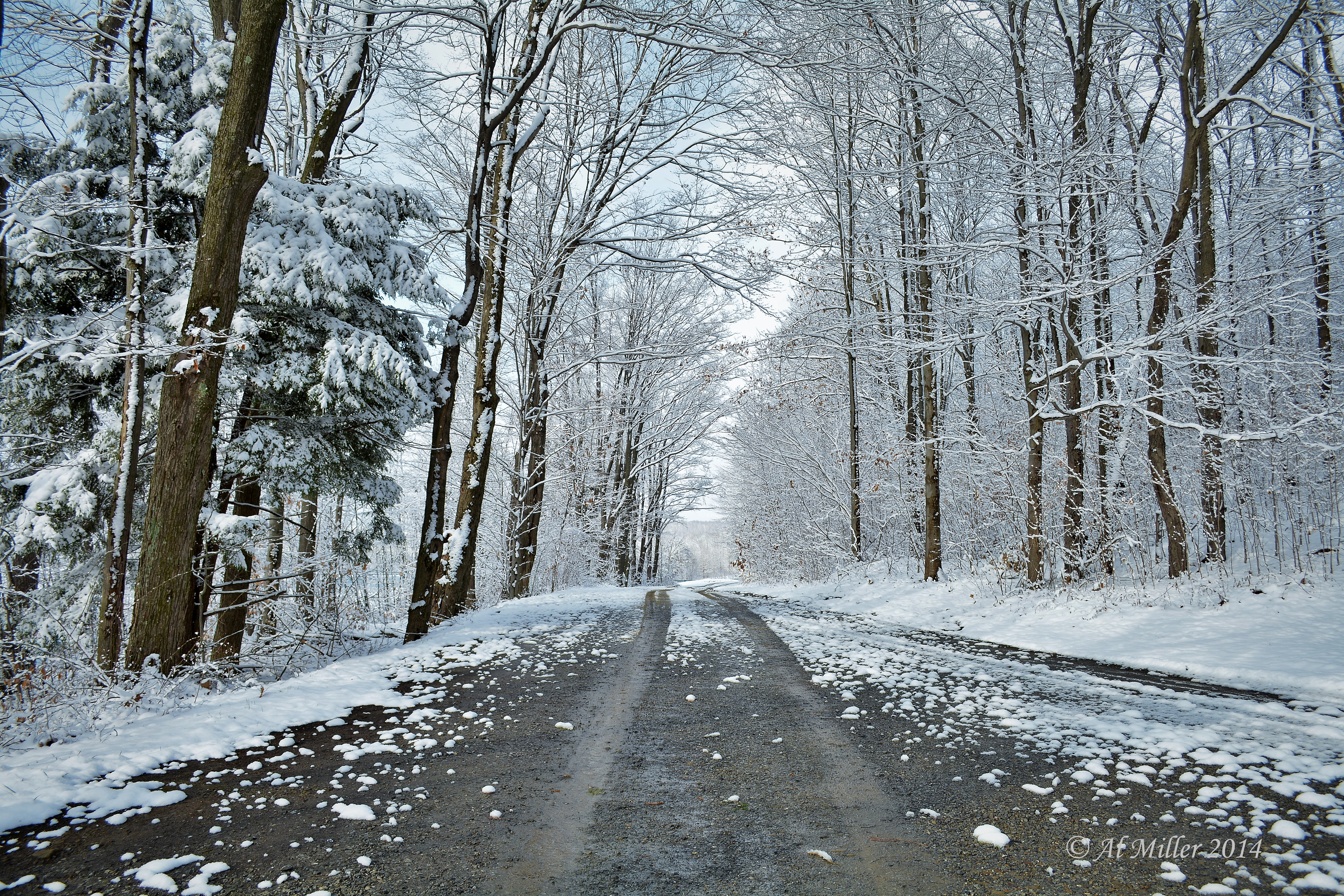
Side Road
IMG_1233.JPG
Topographic Map of PA-, Cherry Tree, PA, USA
Find elevation by address:

Places near PA-, Cherry Tree, PA, USA:
Mckeage Dam
Cherry Tree
1808 Railroad Ave
Marsteller
304 Crawford Ave
Northern Cambria
38th St, Northern Cambria, PA, USA
Hillsdale
Tipperary Rd, Northern Cambria, PA, USA
Green Township
Purchase Line High School
1003 Bigler Ave
Ridge Rd, Nicktown, PA, USA
Nicktown
Vanderbilt St, Commodore, PA, USA
135 St Paul St
Wysocki Rd, Carrolltown, PA, USA
Commodore
678 Smith St
Heilwood
Recent Searches:
- Elevation of Crocker Dr, Vacaville, CA, USA
- Elevation of Pu Ngaol Community Meeting Hall, HWHM+3X7, Krong Saen Monourom, Cambodia
- Elevation of Royal Ontario Museum, Queens Park, Toronto, ON M5S 2C6, Canada
- Elevation of Groblershoop, South Africa
- Elevation of Power Generation Enterprises | Industrial Diesel Generators, Oak Ave, Canyon Country, CA, USA
- Elevation of Chesaw Rd, Oroville, WA, USA
- Elevation of N, Mt Pleasant, UT, USA
- Elevation of 6 Rue Jules Ferry, Beausoleil, France
- Elevation of Sattva Horizon, 4JC6+G9P, Vinayak Nagar, Kattigenahalli, Bengaluru, Karnataka, India
- Elevation of Great Brook Sports, Gold Star Hwy, Groton, CT, USA