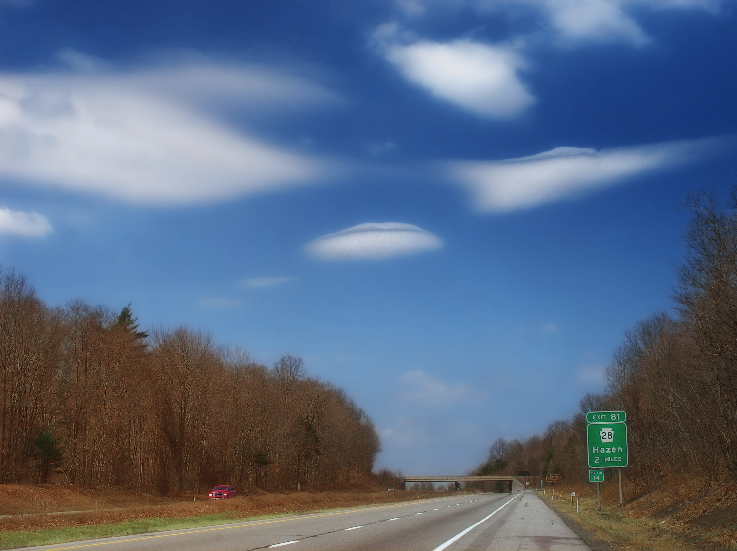
Elevation of PA-28, Brookville, PA, USA
Longitude: -78.956340
Latitude: 41.2129182
Elevation: 530m / 1739feet
Barometric Pressure: 95KPa
Elevation Map:
Satellite Map:
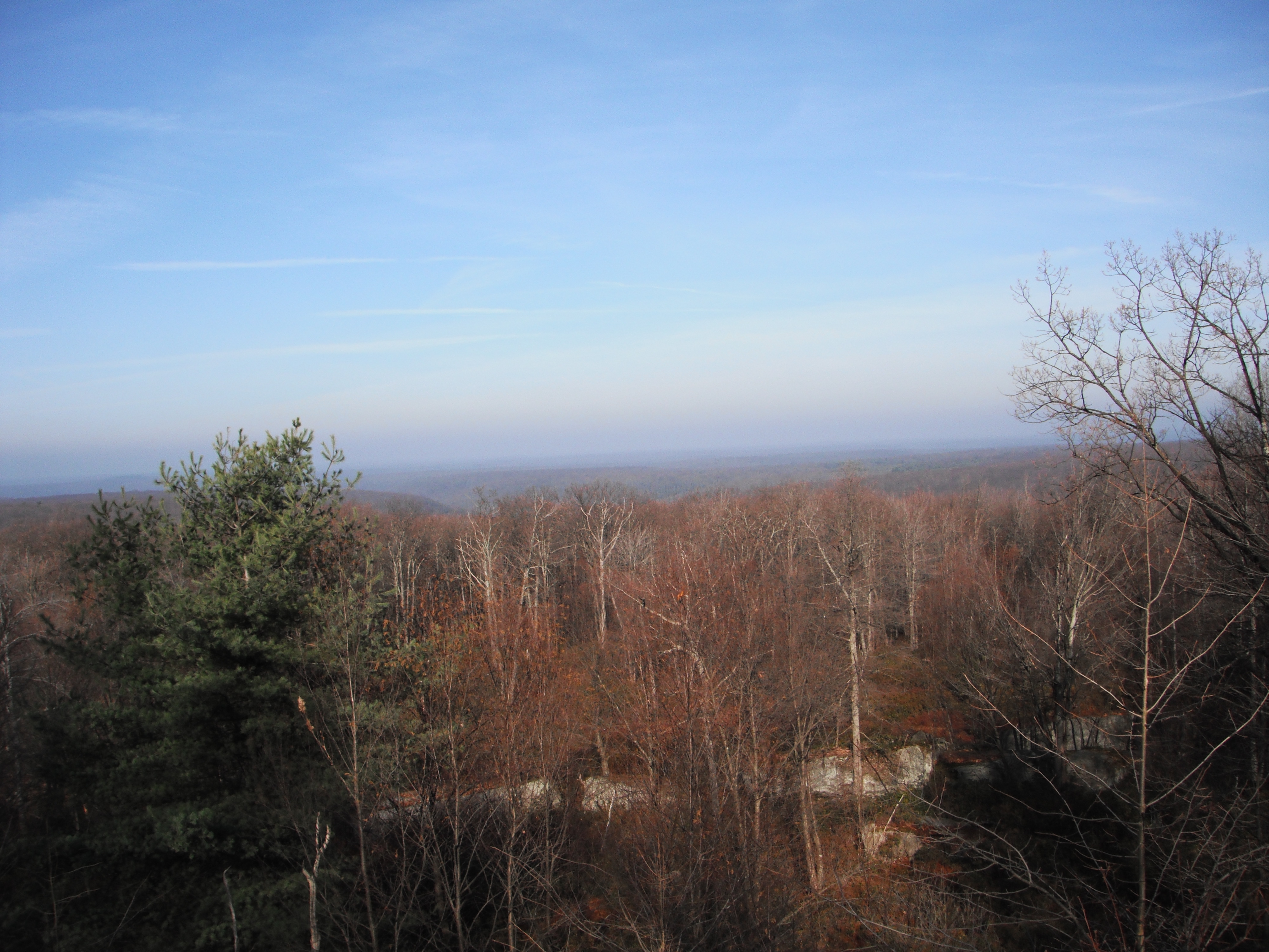
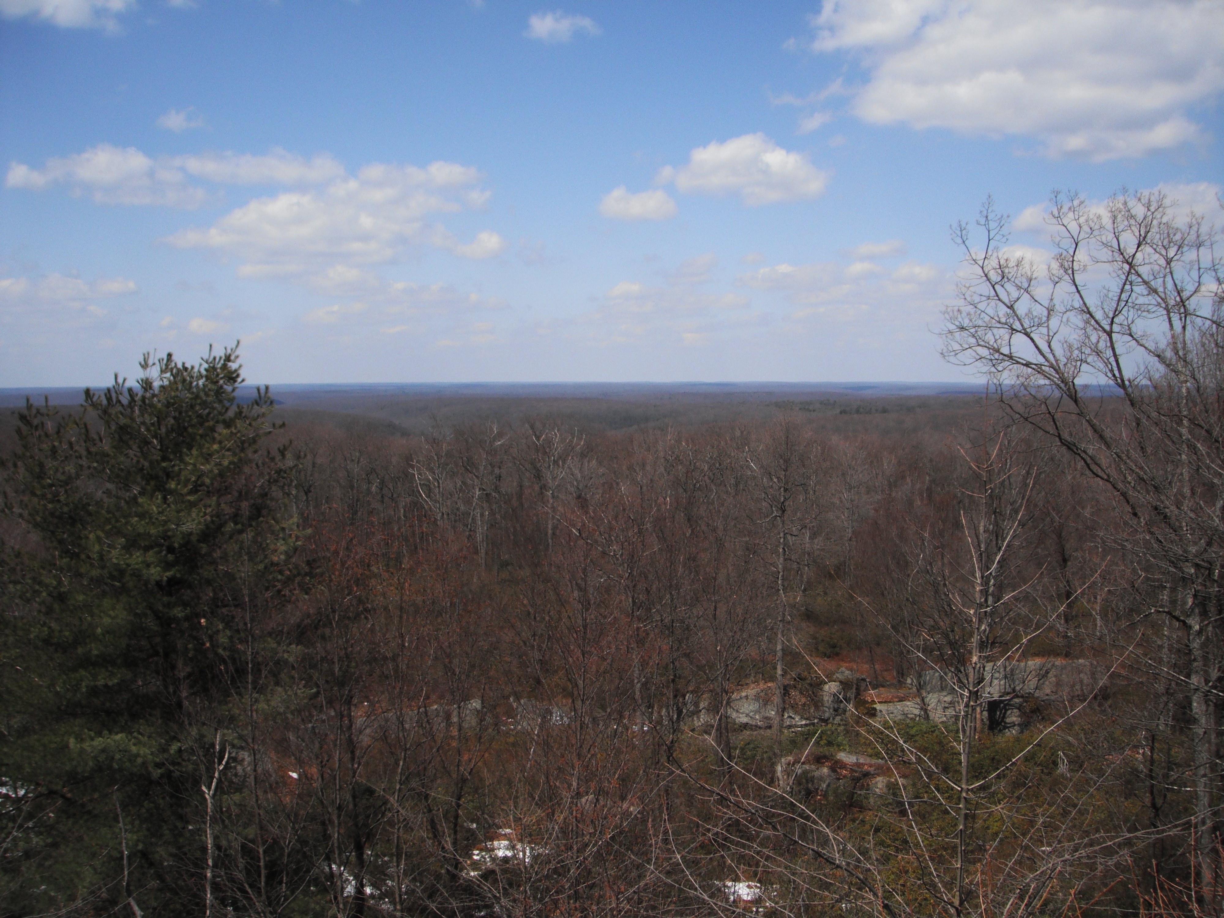
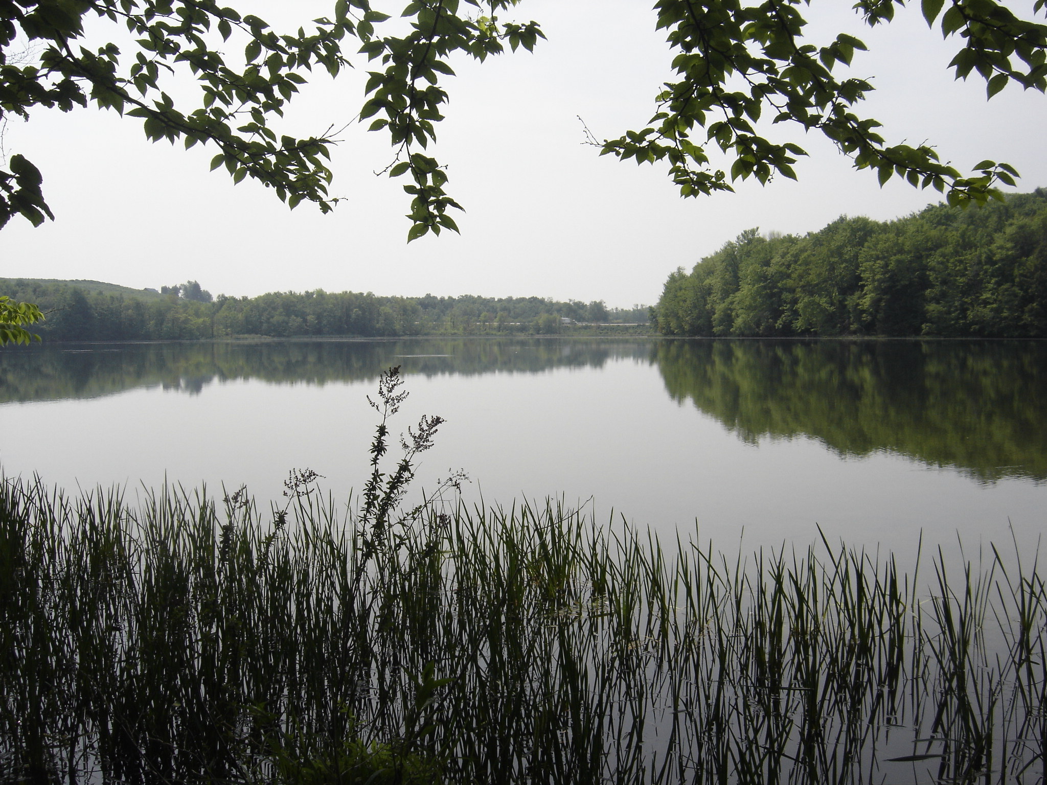
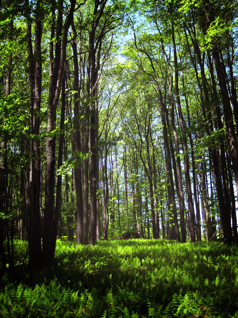
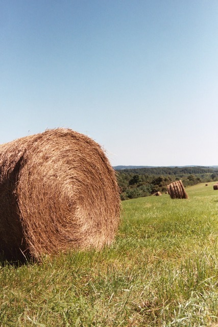
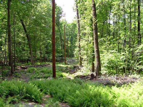
Related Photos:
Sky View

Abandoned Rail

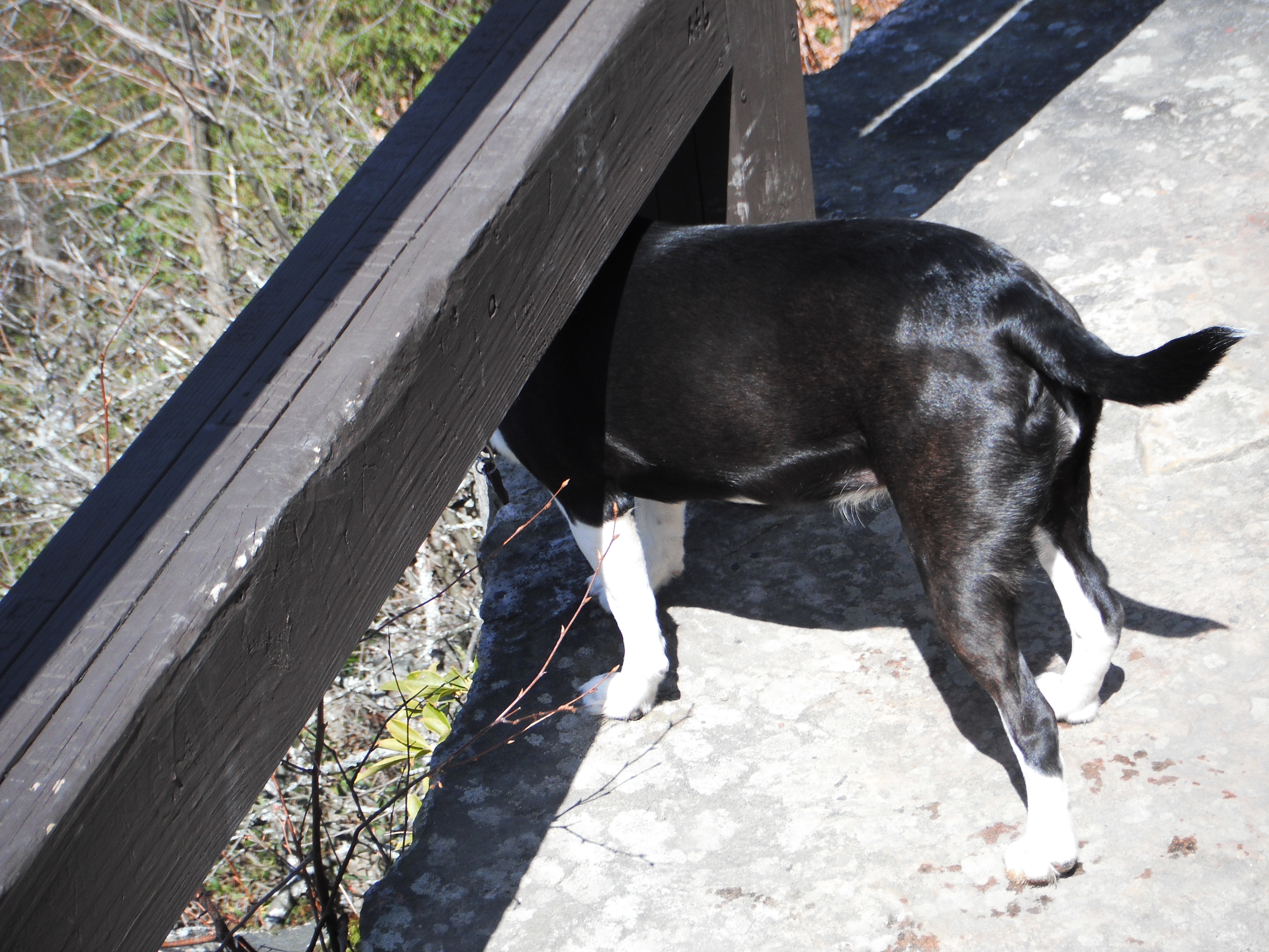
Buddies...
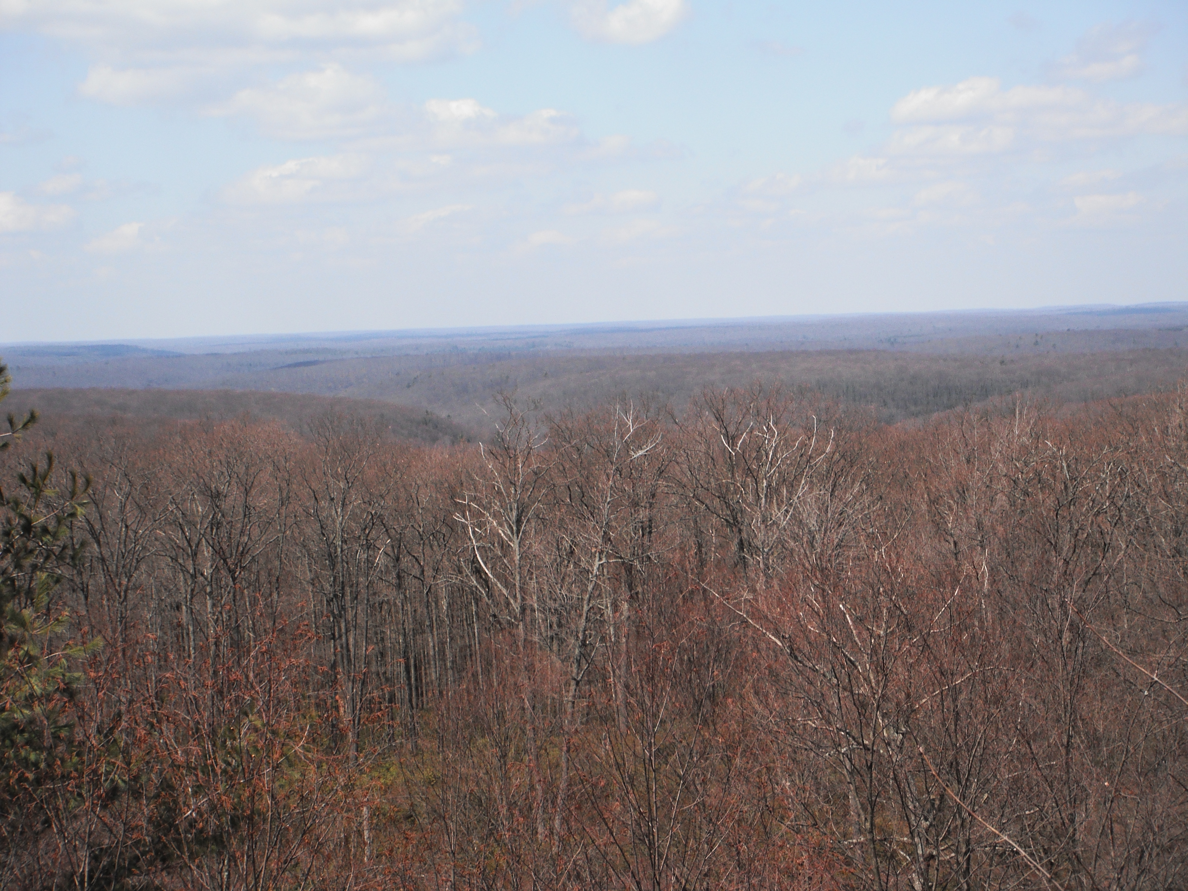
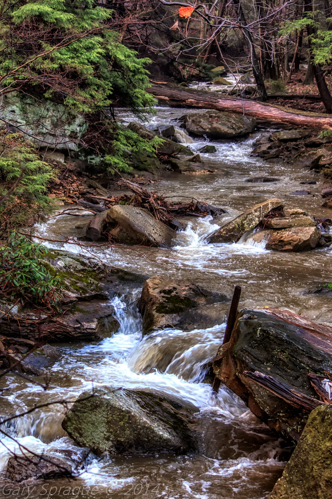
11-19-2012_10_Clear_Creek_State_Forest(Beartown_Rocks)
DSCS702287.JPG
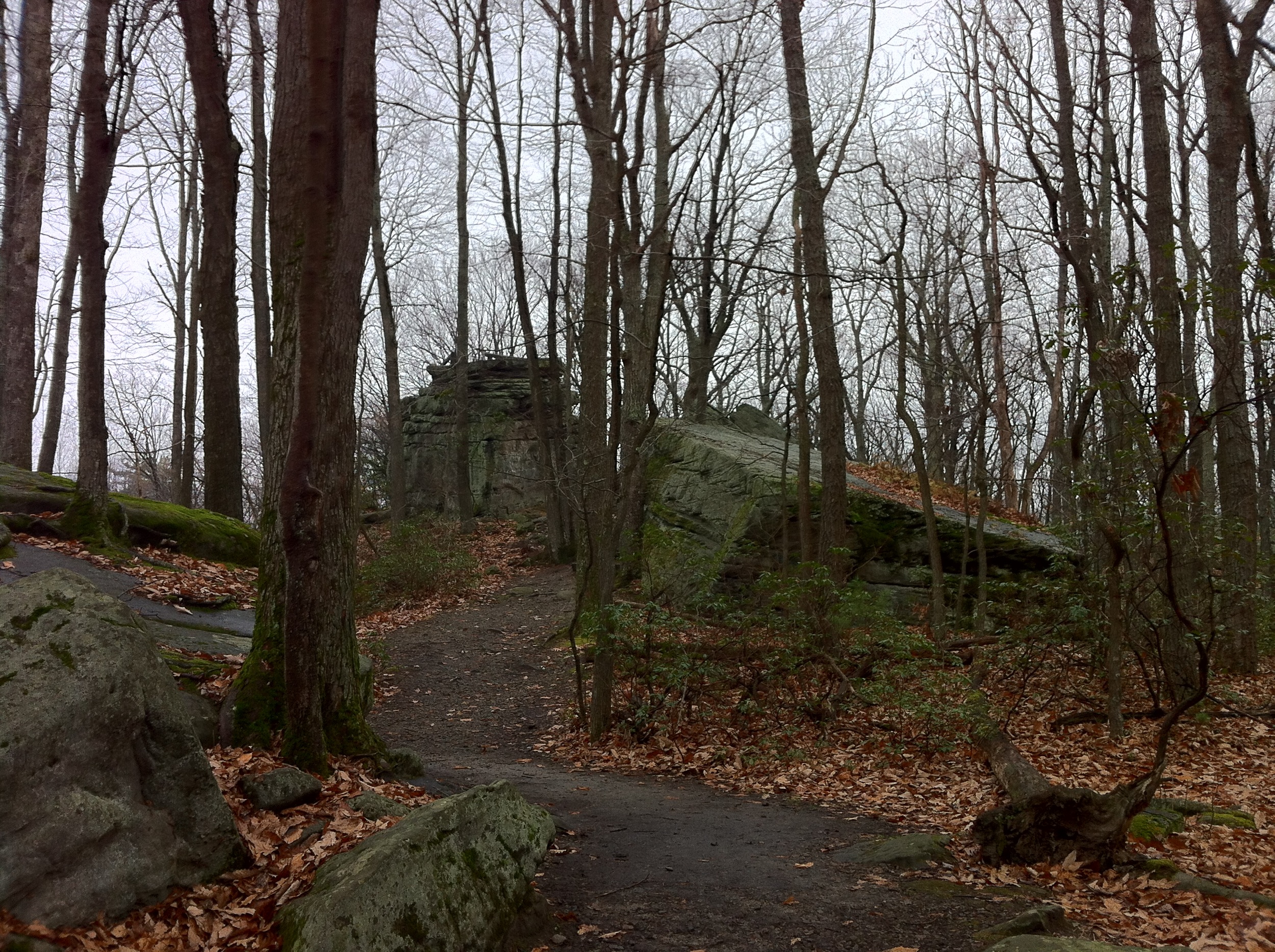
4-05-2013_43_Beartown_Rocks
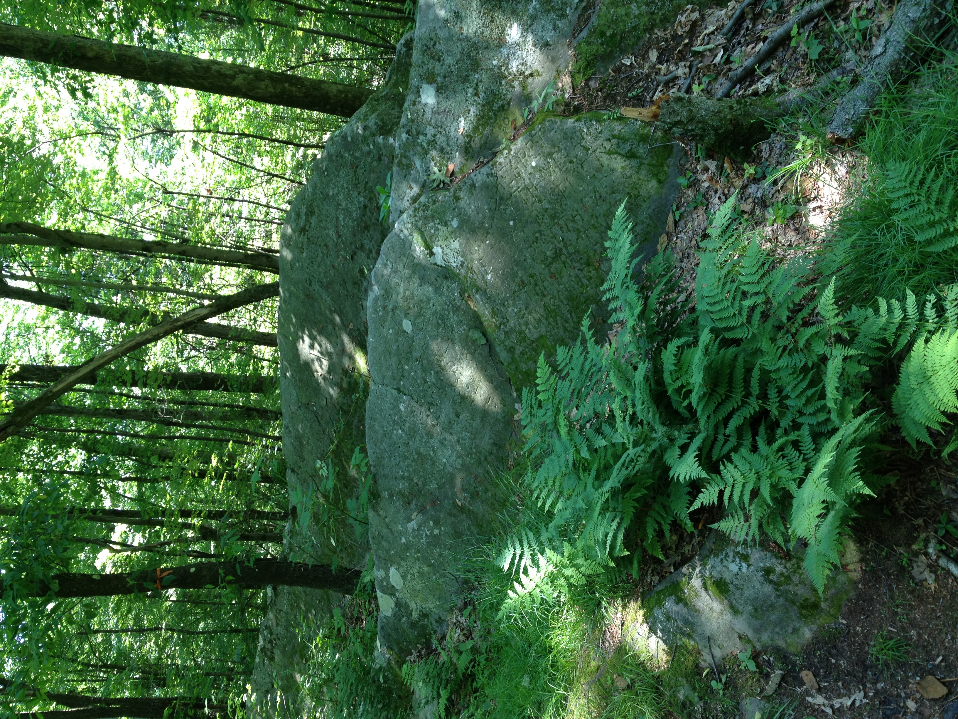
4-05-2013_49_Beartown_Rocks
4-05-2013_46_Beartown_Rocks
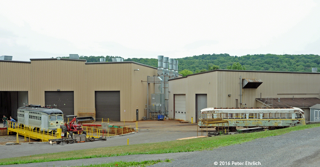
MUNI F-LINE CARS/EL PASO--1056 w/an El Paso PCC at Brookville

Alaskan tundra in Fall
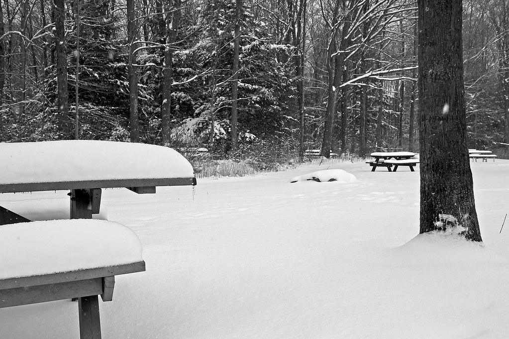
Today was no picnic...

Camera Roll-815
Water of the Living Spirit , Everyone who drinks of this water will thirst again, but whosoever drinks of the water of the living spirit shall never thirst. ~ Jesus

Landscape_102111_LR-15.jpg
Camera Roll-817
Scripture Rocks, Brookville, PA

Jefferson County Pennsylvania
How I spent my Memorial Day weekend.
20060530-download 245
2/365: Forest

Camera Roll-818
20040822-008_6
Near Scripture Rocks
DSC_0250.NEF
Sandy Lick Creek in Reynoldsville, PA
Topographic Map of PA-28, Brookville, PA, USA
Find elevation by address:

Places near PA-28, Brookville, PA, USA:
Warsaw Township
2494 Hazen Richardsville Rd
Jefferson County
PA-28, Brockway, PA, USA
Washington Township
Snyder Township
210 Vo-tech Rd
61 Beechton Rd, Brockway, PA, USA
110 Sayer St
Heath Township
Westville Rd, Brockway, PA, USA
Brookville
Brockway
Winslow Township
Prospect Ave, Reynoldsville, PA, USA
Sigel
5119 Park Rd
3977 State Rte 3001
US-, Brockway, PA, USA
284 3 Springs Rd
Recent Searches:
- Elevation of Lampiasi St, Sarasota, FL, USA
- Elevation of Elwyn Dr, Roanoke Rapids, NC, USA
- Elevation of Congressional Dr, Stevensville, MD, USA
- Elevation of Bellview Rd, McLean, VA, USA
- Elevation of Stage Island Rd, Chatham, MA, USA
- Elevation of Shibuya Scramble Crossing, 21 Udagawacho, Shibuya City, Tokyo -, Japan
- Elevation of Jadagoniai, Kaunas District Municipality, Lithuania
- Elevation of Pagonija rock, Kranto 7-oji g. 8"N, Kaunas, Lithuania
- Elevation of Co Rd 87, Jamestown, CO, USA
- Elevation of Tenjo, Cundinamarca, Colombia