Elevation of Pásztori, Hungary
Location: Hungary > Gyor-moson-sopron > Csornai >
Longitude: 17.2696728
Latitude: 47.5553919
Elevation: 118m / 387feet
Barometric Pressure: 100KPa
Elevation Map:
Satellite Map:
Related Photos:

ßarum
19,4
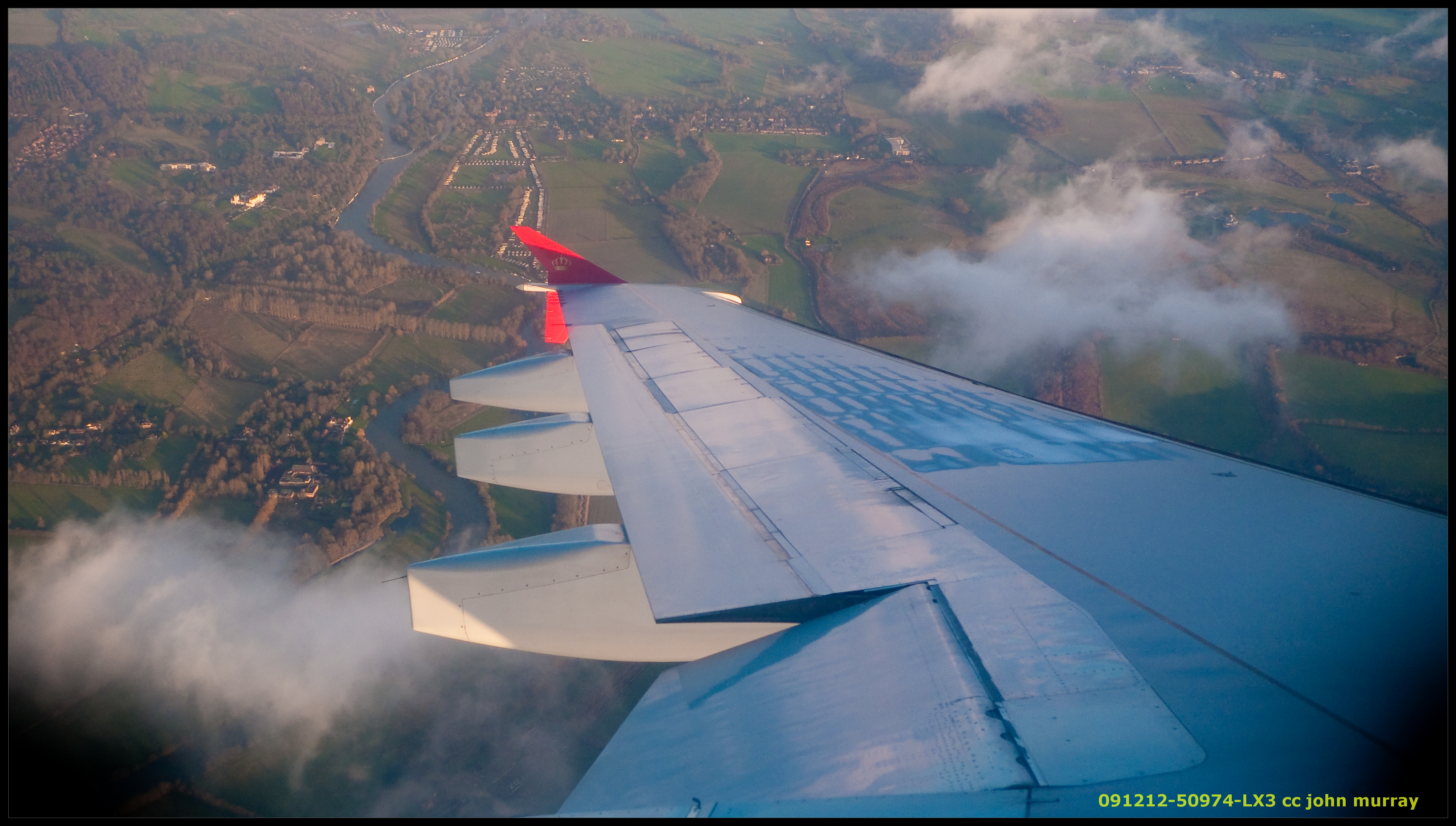
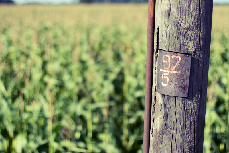
091212-50974-LX3

ψ
//\/\
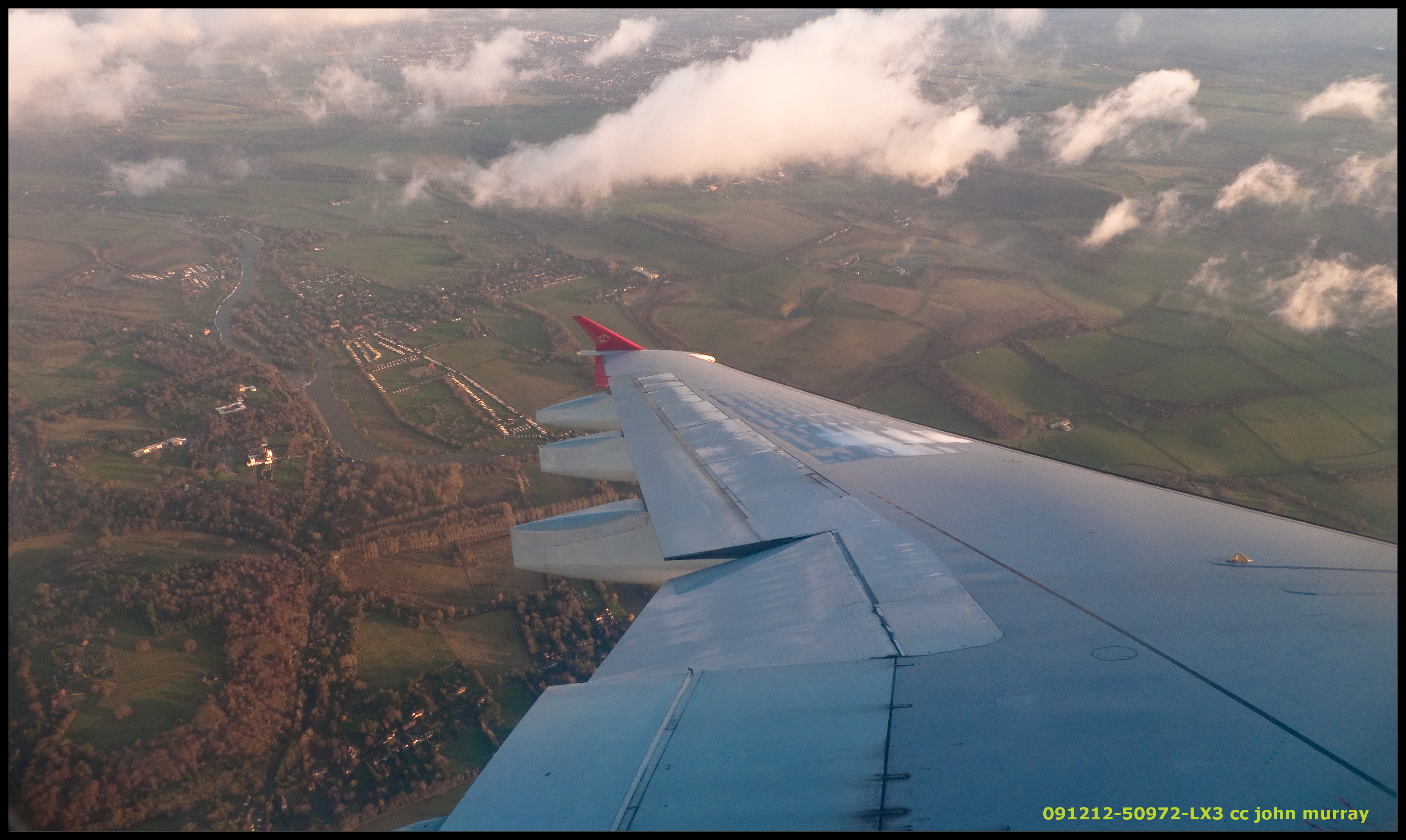
091212-50972-LX3
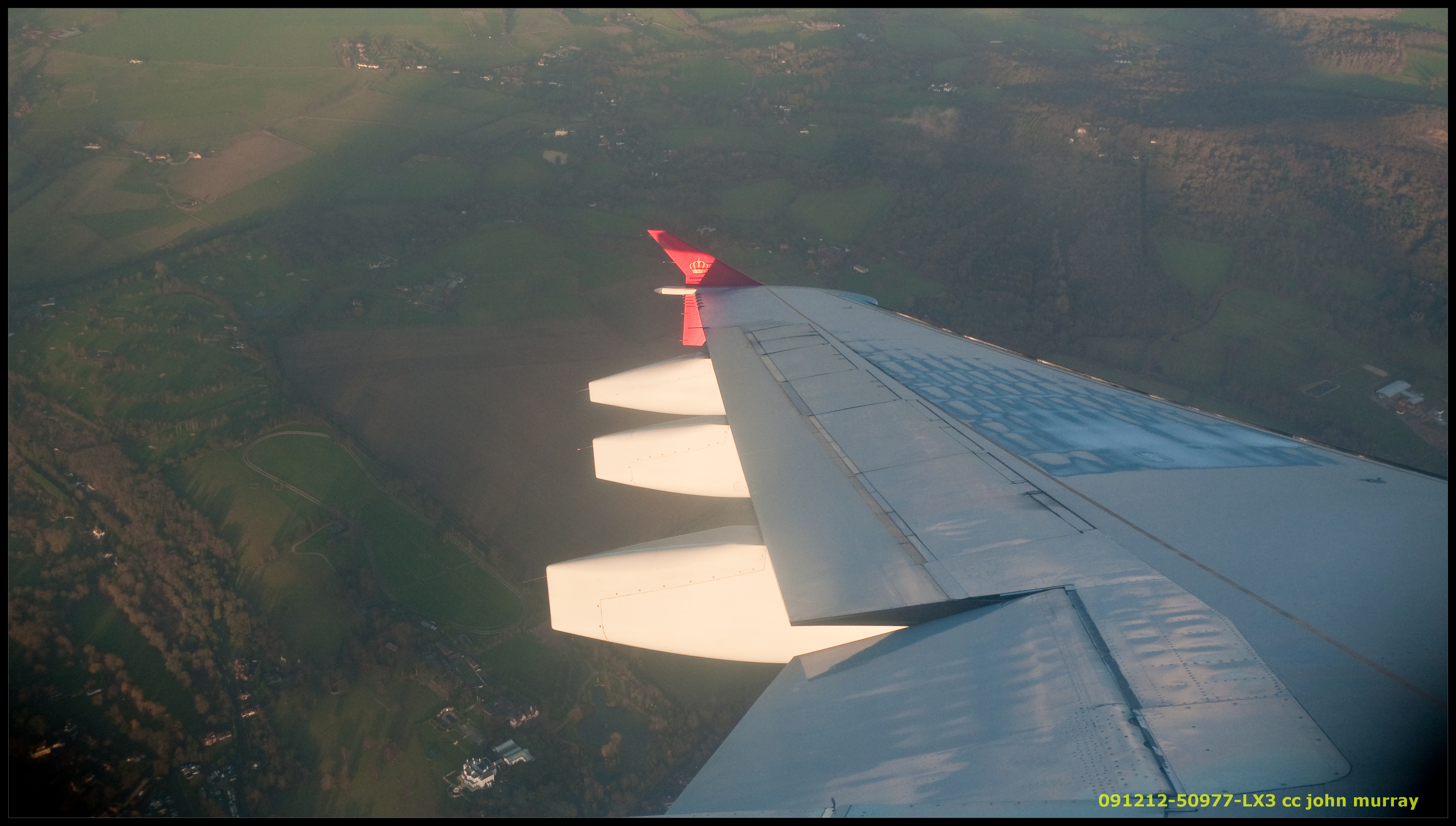
091212-50977-LX3
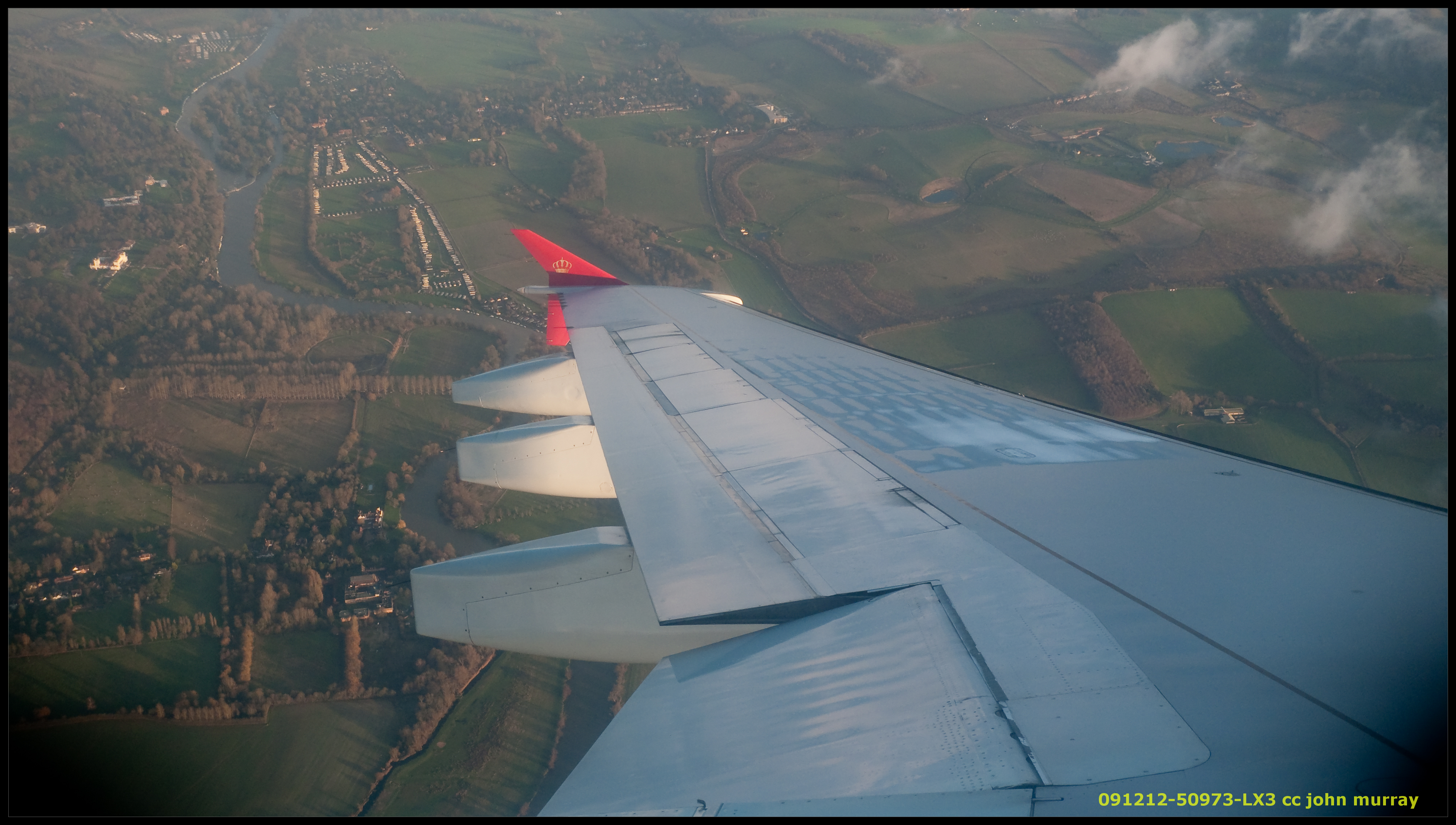
091212-50973-LX3
5 mins

GySEV Taurus im Raps, 08. Mai 2008
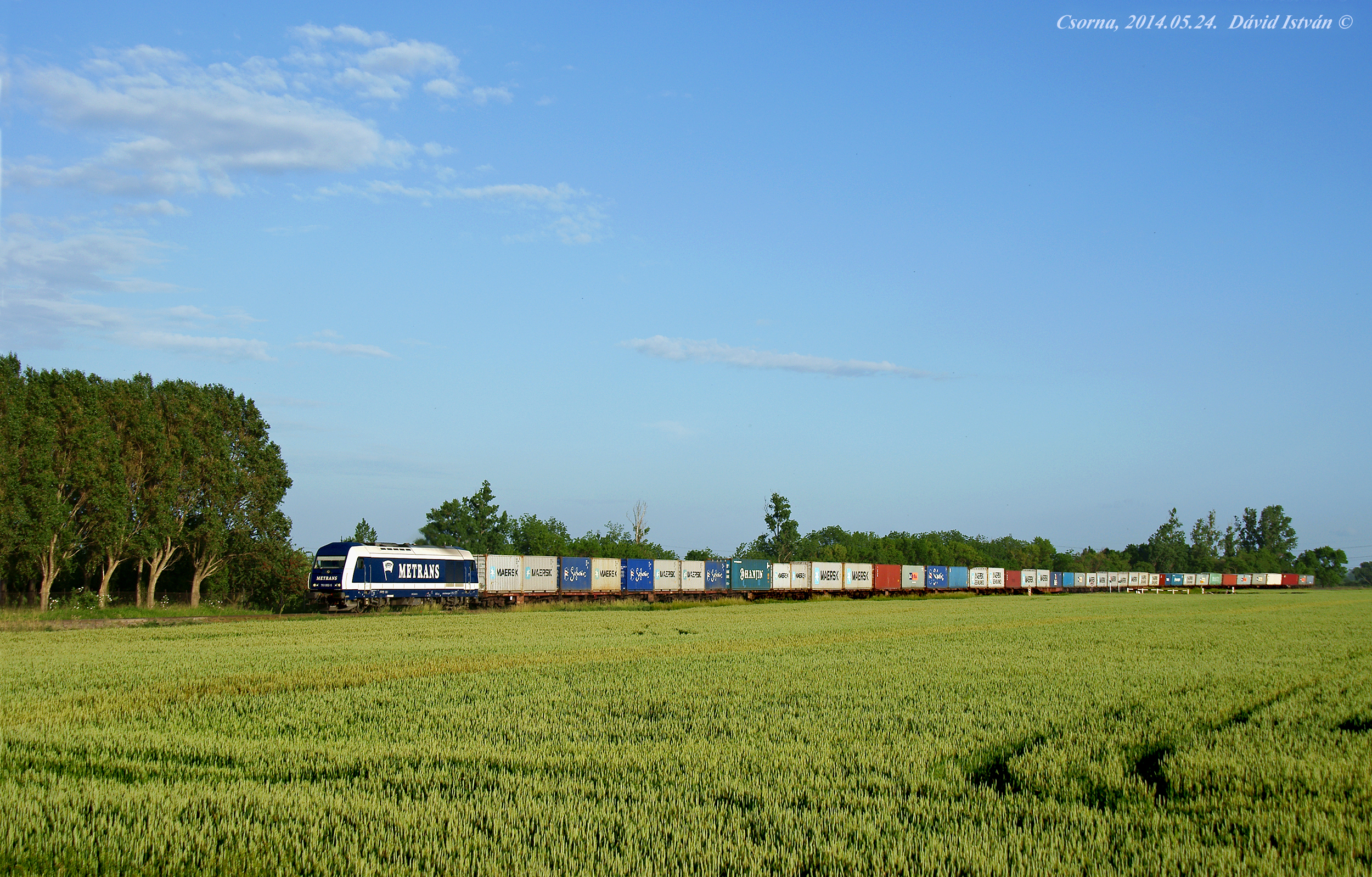
Metrans 761 002
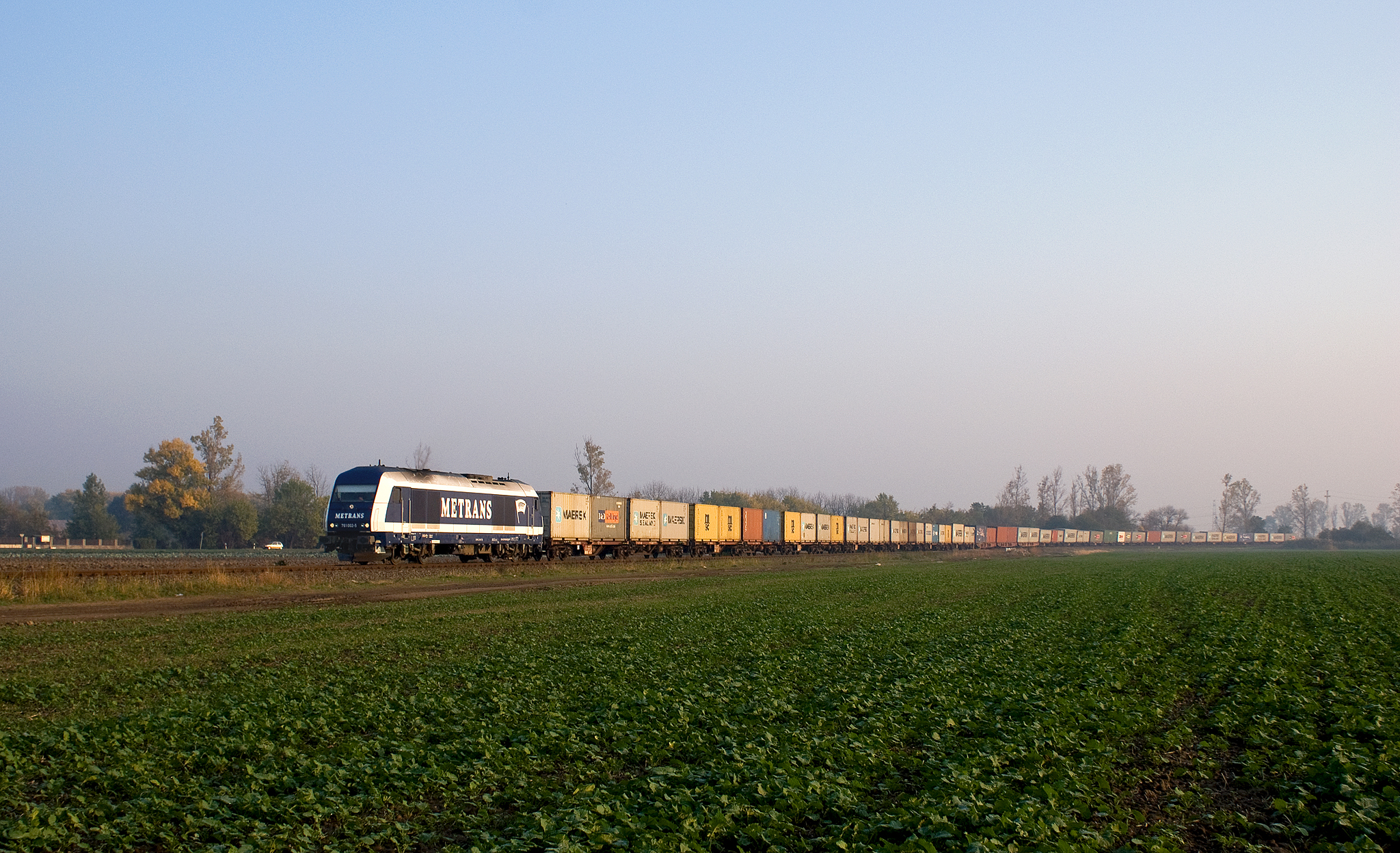
Metrans 761 002
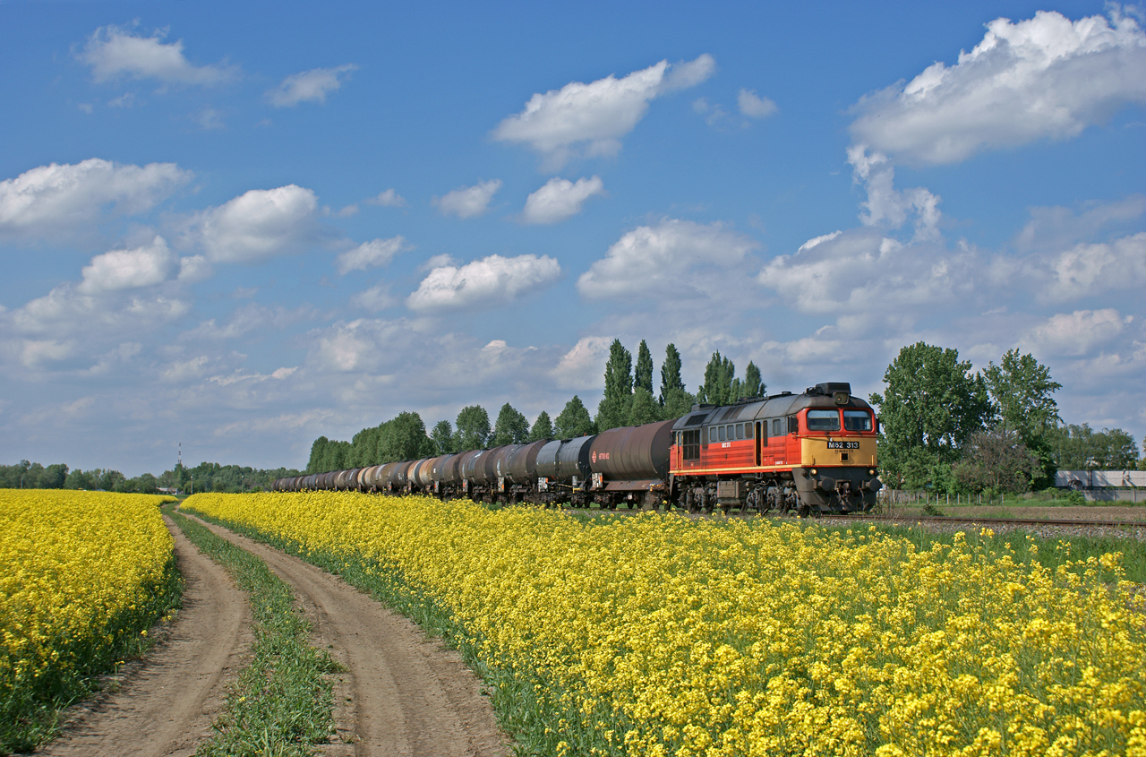
MÁV M62 313 Csornánál
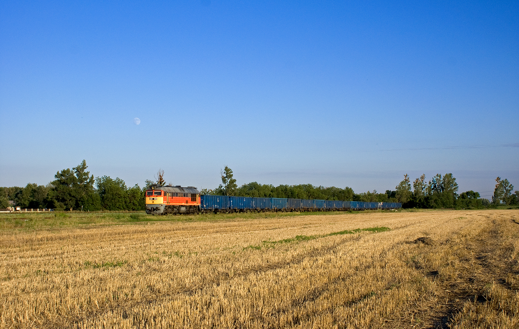
628 309 Csornánál

Rábacsécsény
On the way , celestial accompanist
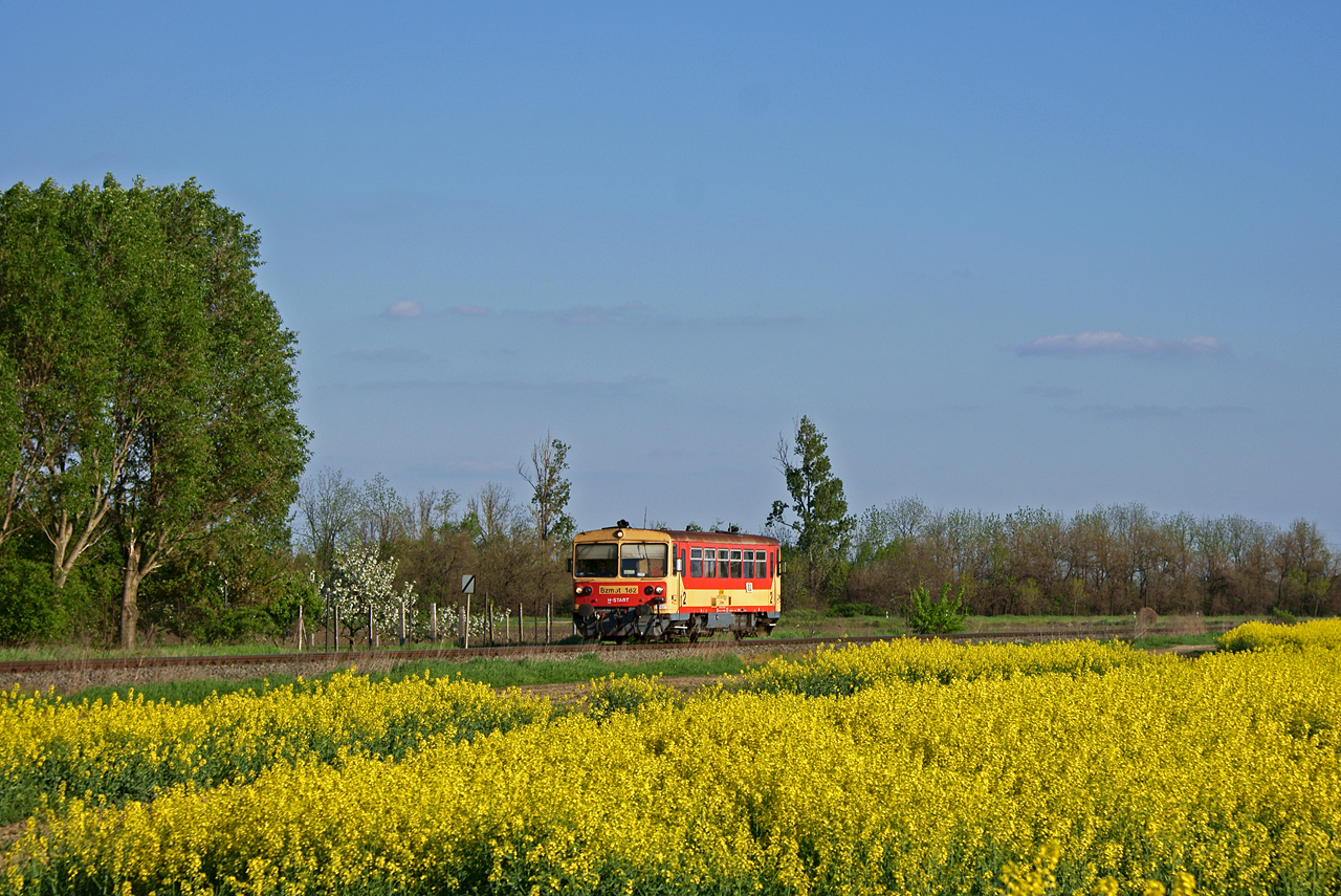
Bzmot 182 Csornánál
5047 502-9
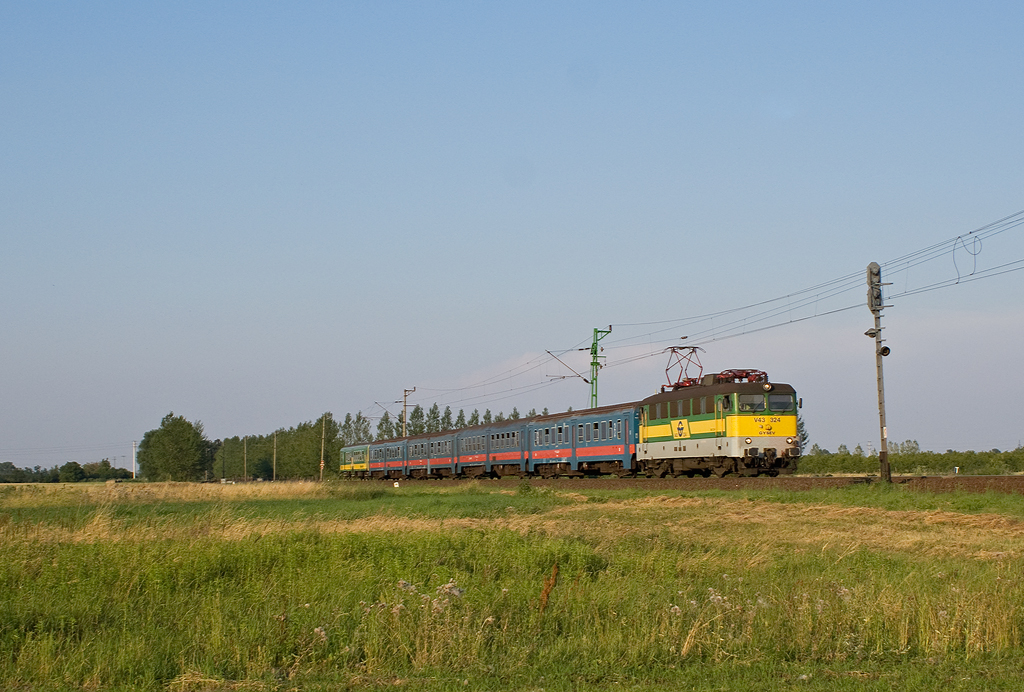
GYSEV V43 324 - R9918
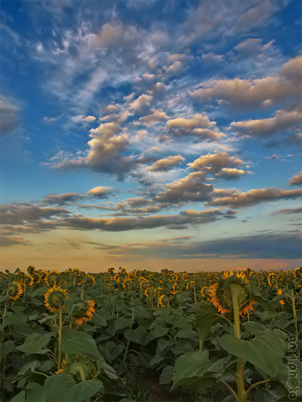
Napraforgó / sunflower

MÁV M62 313 Csornánál
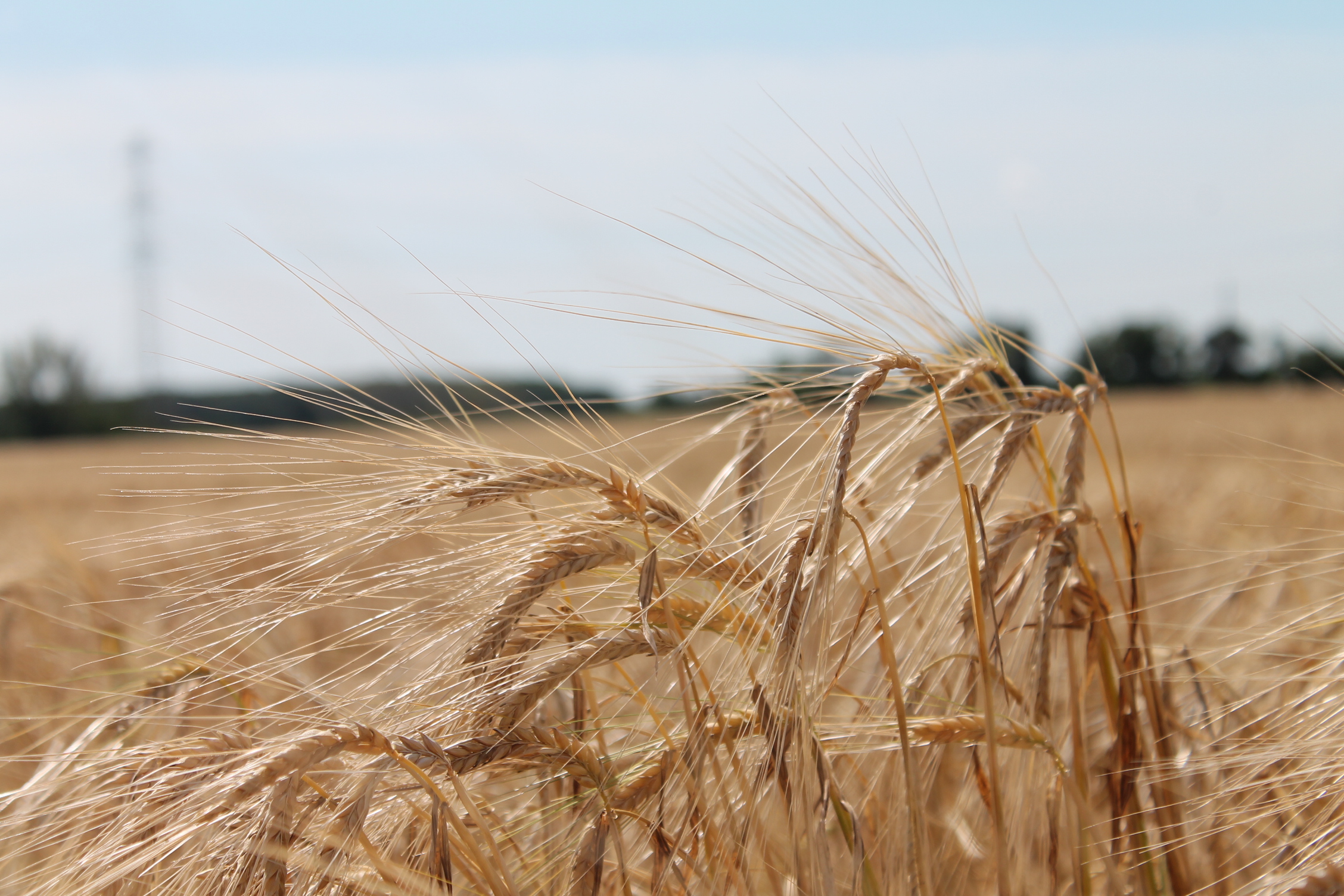
Ének a búzamezőkről

égszínvörös

July awakening

GYSEV 415 504+506+505
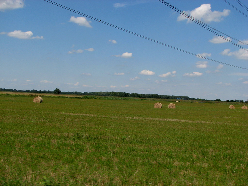
Hay..bales .
Topographic Map of Pásztori, Hungary
Find elevation by address:

Places in Pásztori, Hungary:
Places near Pásztori, Hungary:
Pásztori, Alsó u. 39, Hungary
Csornai
Csorna
Gyor-moson-sopron
Téti
Pápai
Győrszemere
Lhpa
Pápa
Celldömölk
Győrszemere, Gesztes út 1, Hungary
Nagygyimót
Pápakovácsi
Fertőendréd
Fertőendréd Posta
Pápakovácsi, Attya puszta 4, Hungary
Pamhagen, Austria
Győr
Sárvár
Nemeskeresztúr, Kossuth u. 82, Hungary
Recent Searches:
- Elevation of Elwyn Dr, Roanoke Rapids, NC, USA
- Elevation of Congressional Dr, Stevensville, MD, USA
- Elevation of Bellview Rd, McLean, VA, USA
- Elevation of Stage Island Rd, Chatham, MA, USA
- Elevation of Shibuya Scramble Crossing, 21 Udagawacho, Shibuya City, Tokyo -, Japan
- Elevation of Jadagoniai, Kaunas District Municipality, Lithuania
- Elevation of Pagonija rock, Kranto 7-oji g. 8"N, Kaunas, Lithuania
- Elevation of Co Rd 87, Jamestown, CO, USA
- Elevation of Tenjo, Cundinamarca, Colombia
- Elevation of Côte-des-Neiges, Montreal, QC H4A 3J6, Canada