Elevation of Płońsk County, Poland
Location: Poland > Masovian Voivodeship >
Longitude: 20.4021708
Latitude: 52.5714161
Elevation: 121m / 397feet
Barometric Pressure: 100KPa
Elevation Map:
Satellite Map:
Related Photos:

View from my best window

Hurry up little fellow

***

November landscape

In the sun

Wkra river

***

***

***

***

December fields

***

***

***

***

Late autumn at the river

Evening light, (Explore July 22, 2014 #277)

Last tree

***

***
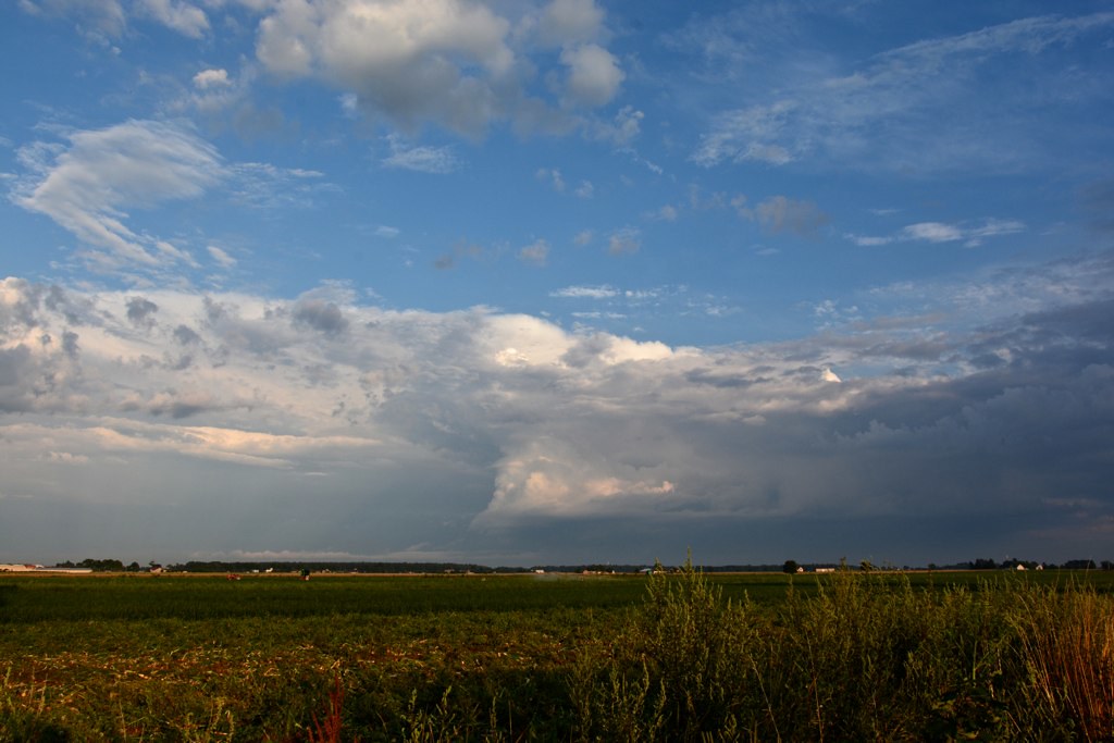
Fields and clouds

At sunset

Still reflection
Topographic Map of Płońsk County, Poland
Find elevation by address:

Places in Płońsk County, Poland:
Places near Płońsk County, Poland:
Nowe Przybojewo
09-151
Kicin
Sanalex. Nzoz
Pindal
Ciechanów County
Gmina Sochaczew
Ciechanow
Sochaczew
Powstańców Wielkopolskich 8
Warsaw West County
Sochaczew County
Gmina Radzanów
Mława County
Legionowo County
Legionowo
Legionowo
Bielany
Cegłowska 80
Marymoncka 14
Recent Searches:
- Elevation of Warwick, RI, USA
- Elevation of Fern Rd, Whitmore, CA, USA
- Elevation of 62 Abbey St, Marshfield, MA, USA
- Elevation of Fernwood, Bradenton, FL, USA
- Elevation of Felindre, Swansea SA5 7LU, UK
- Elevation of Leyte Industrial Development Estate, Isabel, Leyte, Philippines
- Elevation of W Granada St, Tampa, FL, USA
- Elevation of Pykes Down, Ivybridge PL21 0BY, UK
- Elevation of Jalan Senandin, Lutong, Miri, Sarawak, Malaysia
- Elevation of Bilohirs'k