Elevation map of Pánuco, Ver., Mexico
Location: Mexico > Veracruz >
Longitude: -98.182058
Latitude: 22.053581
Elevation: 17m / 56feet
Barometric Pressure: 101KPa
Elevation Map:
Satellite Map:
Related Photos:

Pánuco
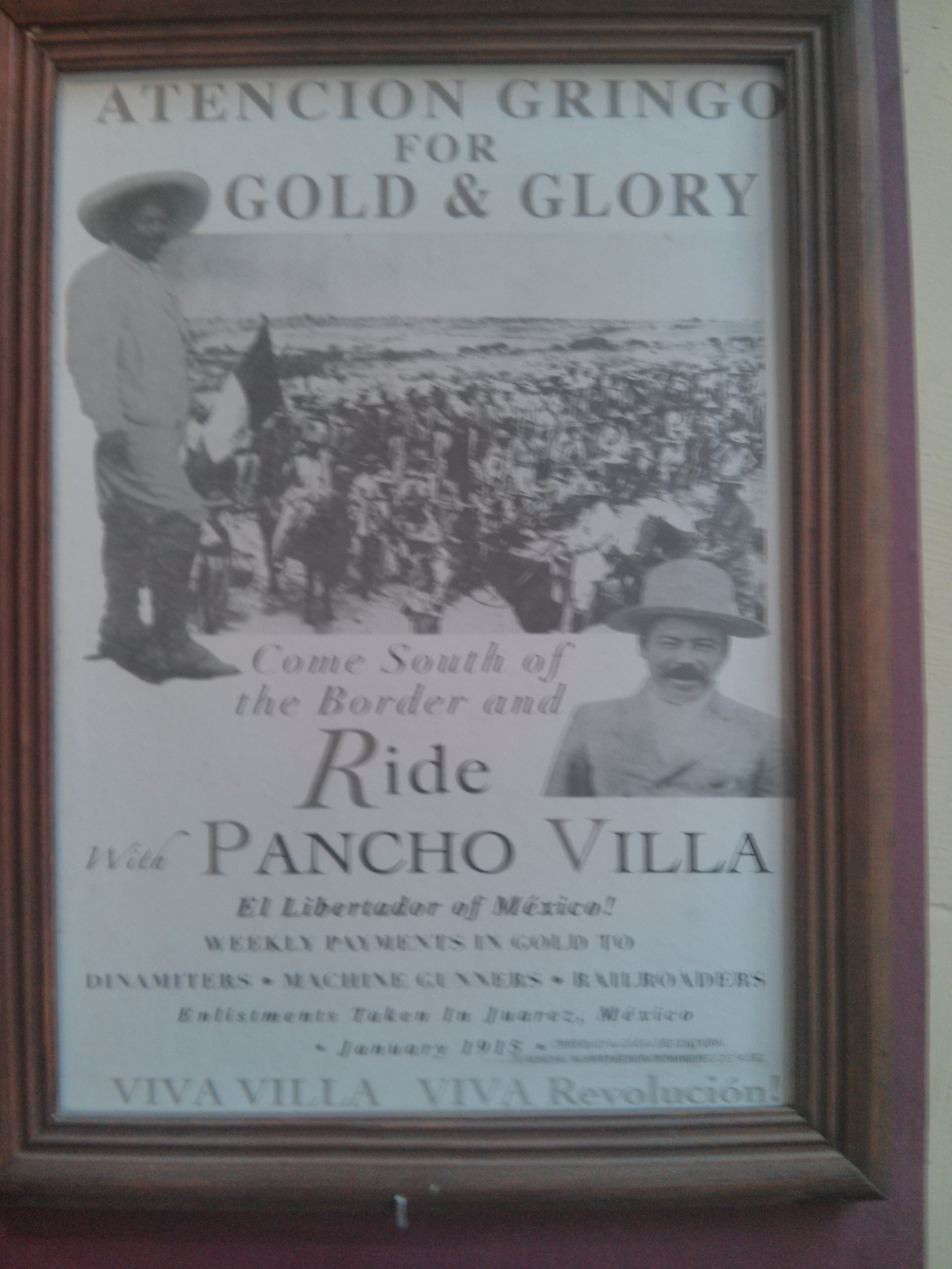
Apparently a real promotional poster of the time encouraging Americans to fight on the side of Pancho Villa
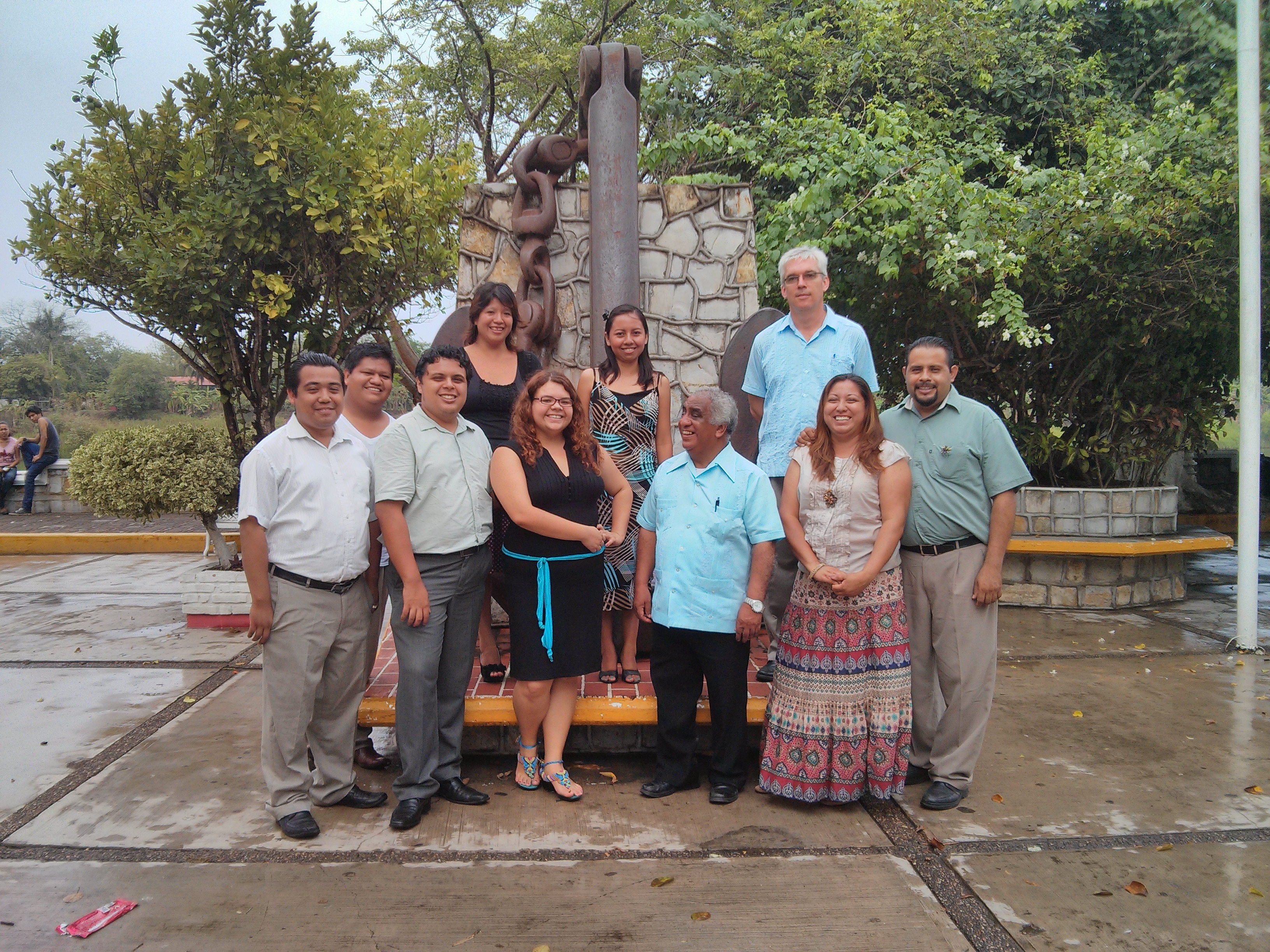
Finishing up the seminario tour tour

Fliying Bear

con el primo pedocles
Topographic Map of Pánuco, Ver., Mexico
Find elevation by address:

Places in Pánuco, Ver., Mexico:
Places near Pánuco, Ver., Mexico:
Independencia 13, Centro, Pánuco, Ver., Mexico
Laguna Chica
Juárez, Centro, 20 de Noviembre, Ebano, S.L.P., Mexico
Ebano
Ebano
Unnamed Road
Tampico
1075d
Pueblo Viejo
Tampico
Ciudad Madero
Linda Vista
Colonia Petrolera Lindavista
Primero De Mayo
Michoacán, Linda Vista, Benito Juárez, Ver., Mexico
Calle Carranza, Primero de Mayo, Cd Madero, Tamps., Mexico
Hipódromo
Ciudad Madero
5 de Mayo 31, Horcón Potrero, Potrero Horcón, Ver., Mexico
Horcón Potrero
Recent Searches:
- Elevation of Jalan Senandin, Lutong, Miri, Sarawak, Malaysia
- Elevation of Bilohirs'k
- Elevation of 30 Oak Lawn Dr, Barkhamsted, CT, USA
- Elevation of Luther Road, Luther Rd, Auburn, CA, USA
- Elevation of Unnamed Road, Respublika Severnaya Osetiya — Alaniya, Russia
- Elevation of Verkhny Fiagdon, North Ossetia–Alania Republic, Russia
- Elevation of F. Viola Hiway, San Rafael, Bulacan, Philippines
- Elevation of Herbage Dr, Gulfport, MS, USA
- Elevation of Lilac Cir, Haldimand, ON N3W 2G9, Canada
- Elevation of Harrod Branch Road, Harrod Branch Rd, Kentucky, USA