Elevation of Píšť, 18 Píšť, Czech Republic
Location: Czech Republic > Píšť >
Longitude: 18.1772967
Latitude: 49.9907722
Elevation: 261m / 856feet
Barometric Pressure: 98KPa
Elevation Map:
Satellite Map:
Related Photos:
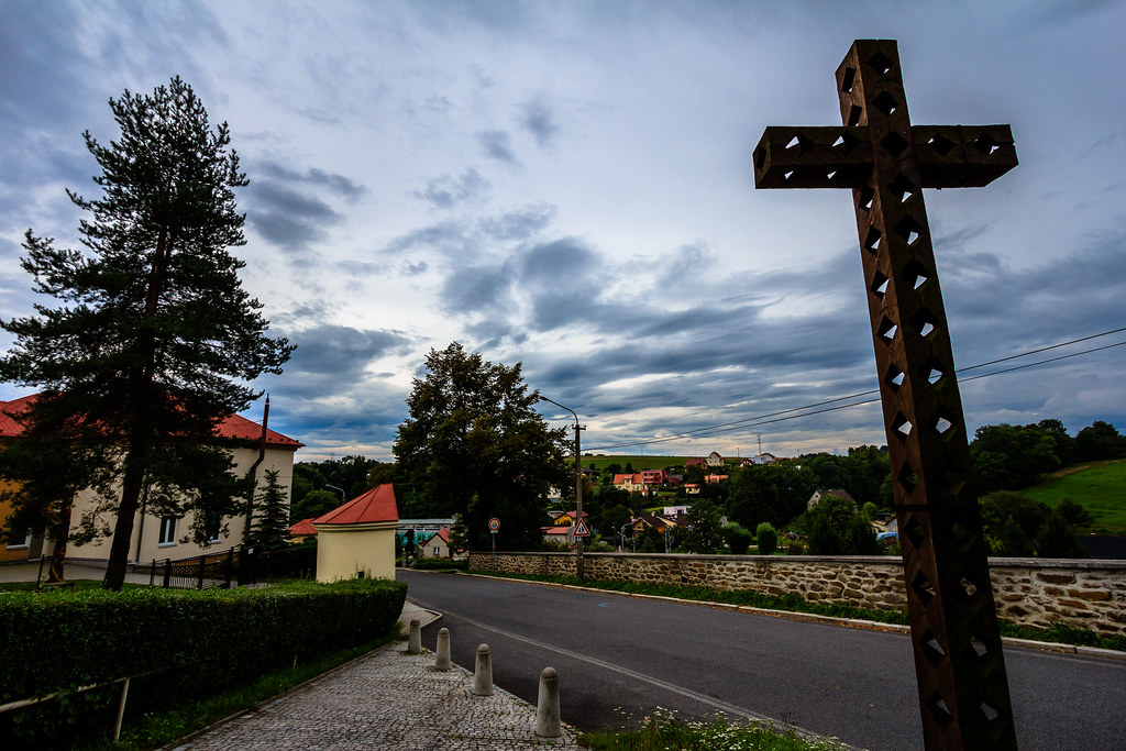
Ostrava - Plesná (Czech Republic)
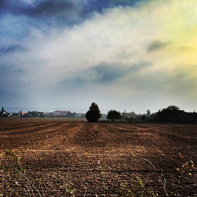
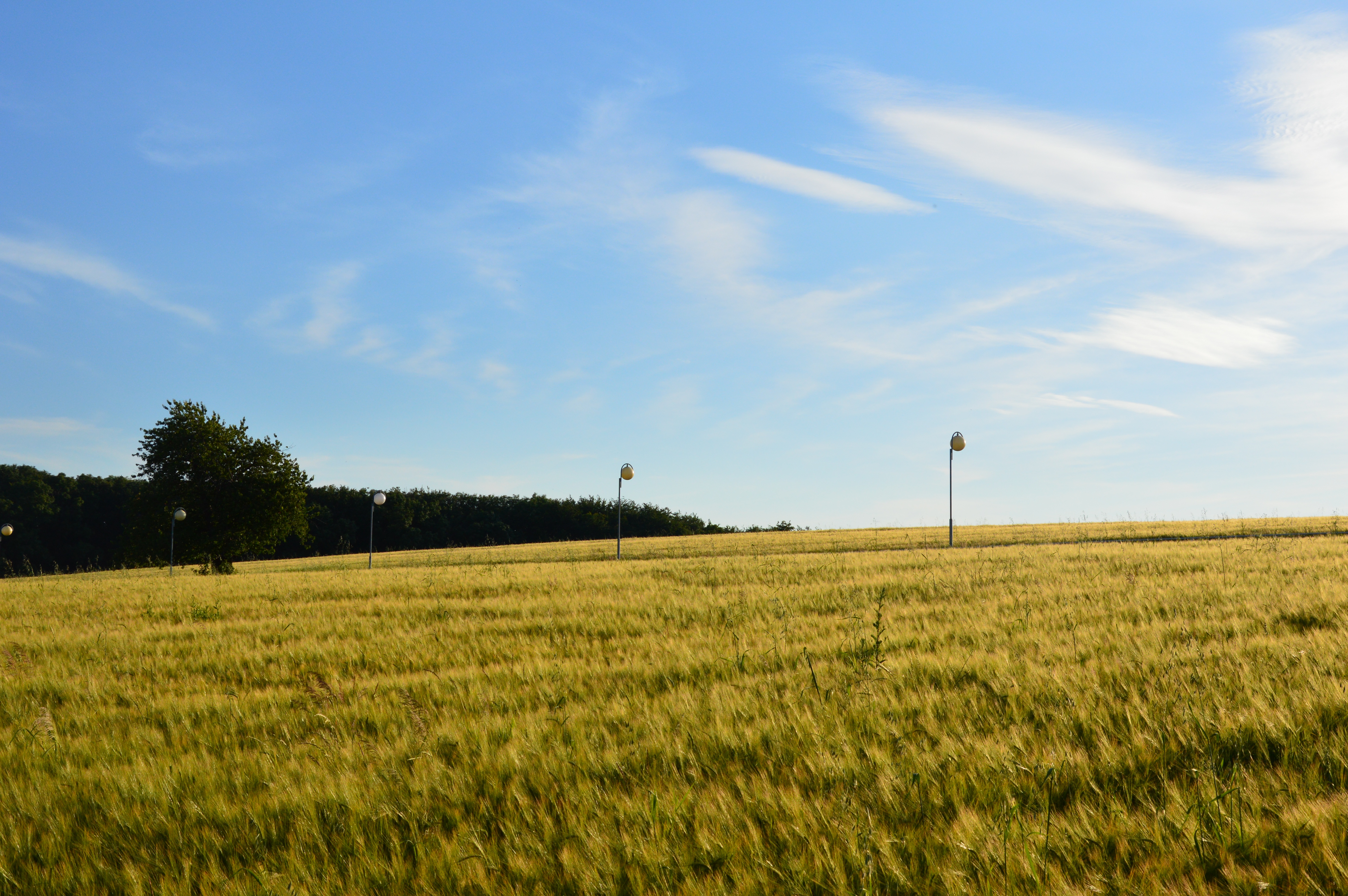
#panorama #field #cloud #sky #lovely #view #to #Kravare #Czechia #czech #nice #walk ;-)
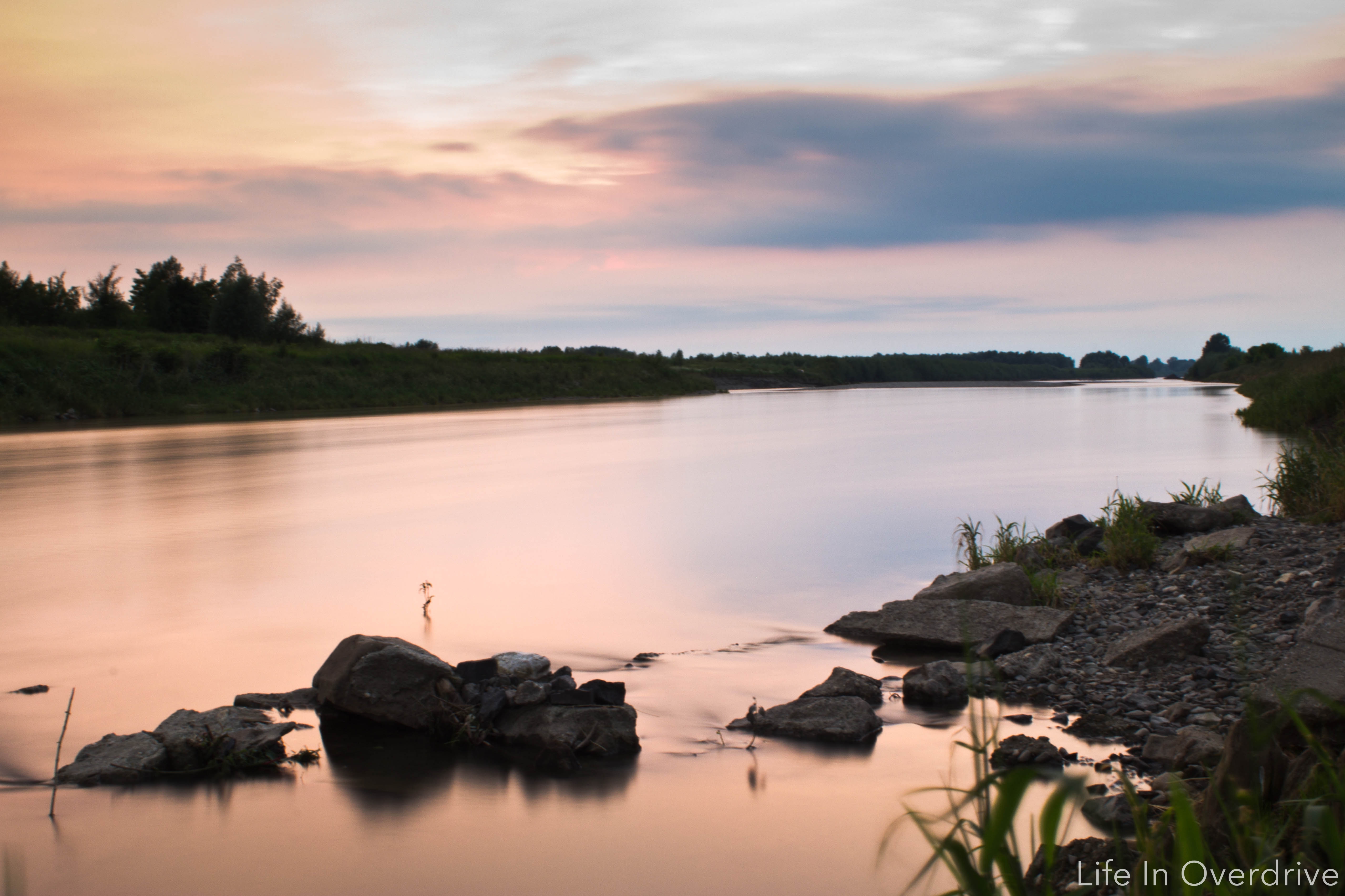
when the sun goes down

Ostrava, Landek

Pěchotní srub MO-S-17 Štipky

Darkovičky
around my house #3

Šilheřovice, K Farskému lesu
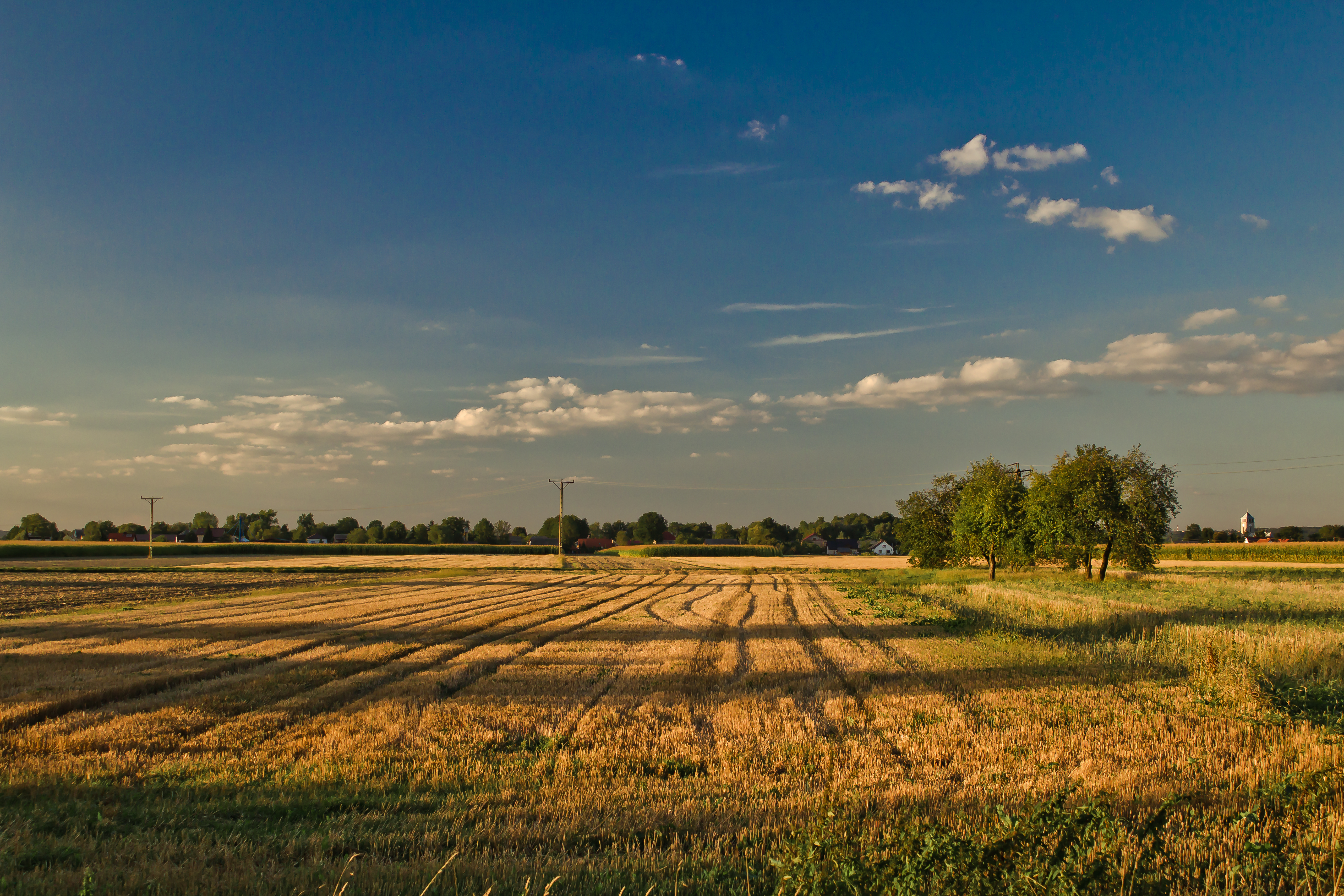
Summer day in Hrabyne, Czech Republic

Šilheřovice, bažantnice

CJ10.1j

Antošovice, Odra
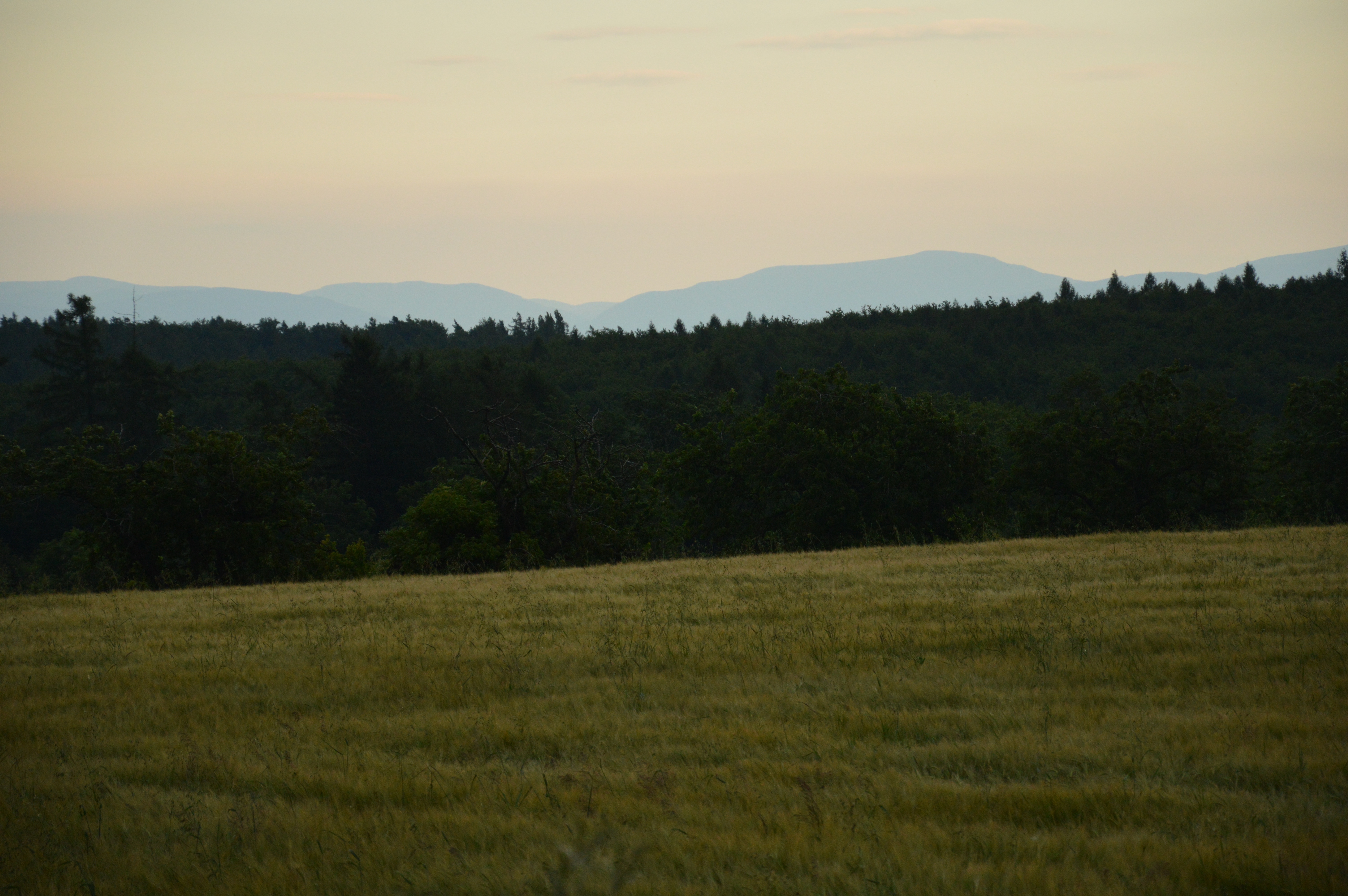
Summer evening with high visibility in Hrabyne, Czech Republic

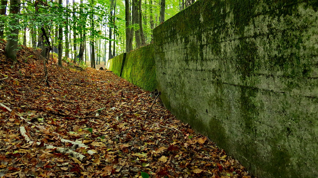
Destroyed military bunker

Racibórz, Poland

around my house #1
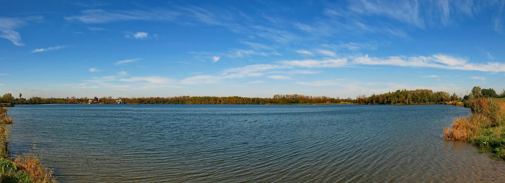
Bohumín, velké Kališovo jezero

around my house #2

Line of bunkers II

Lesni cesta
Protitankový příkop
Topographic Map of Píšť, 18 Píšť, Czech Republic
Find elevation by address:

Places near Píšť, 18 Píšť, Czech Republic:
Píšť
Školní /1, 01 Hlučín, Czech Republic
Hlučín
Zemědělská 43/4, 94 Děhylov, Czech Republic
Děhylov
Háj Ve Slezsku
Smolkov
Vančurova 66, Smolkov, 92 Háj ve Slezsku, Czech Republic
Třebovice
Langrova /14, 00 Ostrava-Třebovice, Czech Republic
Přívoz
Dobrovského /32, Přívoz, 00 Ostrava-Moravská Ostrava a Přívoz, Czech Republic
Školní /7, 00 Ostrava-Poruba, Czech Republic
Poruba
17. Listopadu 1790/5
Bartošova /1, 00 Ostrava-Nová Ves, Czech Republic
Nová Ves
Hlavní 19, 64 Horní Lhota, Czech Republic
Horní Lhota
Ostrava
Recent Searches:
- Elevation of Suffield, AB T0J 2N0, Canada
- Elevation of Coan West, Coon West, Co. Kilkenny, Ireland
- Elevation of 8 Rue Raoul Dufy, Collioure, France
- Elevation of 6 Muir St, Medowie NSW, Australia
- Elevation of Woodland Road, Woodland Rd, Lee, MA, USA
- Elevation of Turner Mill Rd, Talladega, AL, USA
- Elevation of Wylie Ridge Rd, New Cumberland, WV, USA
- Elevation of Dogwood Ln, Millsboro, DE, USA
- Elevation of Paseo Lucido, San Diego, CA, USA
- Elevation of W S, Orem, UT, USA