Elevation of Oxford Ct, Roseville, CA, USA

Location: United States > California > Placer County > Roseville > South Cirby >

Longitude: -121.25456

Latitude: 38.724166

Elevation: 57m / 187feet

Barometric Pressure: 101KPa

Elevation Map:

elevation map of Oxford Ct, Roseville, CA, USA

Satellite Map:

Satellite map of Oxford Ct, Roseville, CA, USA

Related Photos:

calp espee railroads roseville sp southernpacific antelope ca usa california gp9e
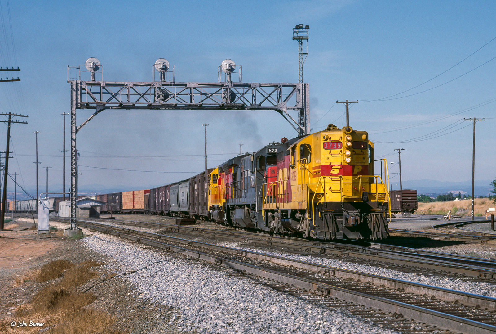
SP 3739 West at Antelope, CA
rain calmbeforethestorm yikes americanriver hunkerdown elniño sandbars photomatix crazyaboutnature powerfulstorm 9682742 winksplace singleimageprocess floodingstatewidecalifornia loomingstorm‘likelytobememorable’ loomingweather
Calm Before the Storm
landscape water nature sunrise trees river americanriver folsom california bridge bridges arch architecture reflection panorama sky colorful
Rainbow Bridge Panorama
clouds sunset eldoradohills california unitedstatesofamerica
Deck view
california bridge sunrise dawn railtrack 18200f3556gvr infinitexposure
Dawn View from Crooked Bridge
trees light color water northerncalifornia landscape spring nikon wildflowers lupines folsomlake rattlesnakebar fieldofflowers folsomlakerecreationarea
Folsom Lake Lupines
bar project foods day folsom whole 1000 952
Day 952: Shopping_0244d
sunset silhouette nature sun sky outdoor person sea young beach travel beautiful landscape water view ocean beauty vacation evening lifestyle adult happy free life orange male black man sunlight freedom sand dusk background palm portrait holiday coast joy alone sundown standing abstract scenic psalm dramatic thought contemplation 400mm f4 do is
Afternoon Reflection 1794
aerialview dji outdoor phantom4pro dam dreyerpicturescom drone folsomdam landscape lowlight sunset water eldoradohills california unitedstatesofamerica
Folsom Dam - Brown's Ravine
dji gx8 lumix m43 m43ftw microfourthirds mirrorless outdoor panasonic phantom4pro aeirialview clouds dreyerpicturescom drone folsomdam landscape water
Folsom Dam
california wild flower 20d field canon landscape photo spring seed photograph poppy poppies wildflower lupine brodiaea vetch naturewatcher explorer312 familygetty
Spring Wildflowers 0026
Heaven’s View ????
county blue bird heron canon photo stream native photograph ravine egret placer miners placercounty roseville wildllife vetch 40d explorer123 familygetty
Blue Heron In Vetch 0893
comet neowise false color early one morning over el dorado county foothills
Comet Neowise Enhanced Color_8122
comet neowise early morning sky over el dorado county foothills astrometrydotnet:id=nova4378159 astrometrydotnet:status=solved
Comet Neowise_8113
california 50mm model nikon bra grace jeans beautifulwomen sacramento alienbee tunk 2011 strobist d700 ericcourtney naomimay thinktunkproductions
Naomikens - Grace under Pressure
Hazel Ave Corridor
minions christmas witmer drive folsom ca
MinionsXmas_3205-1
church country rural storm sky religion architecture hdr building landscape christian christianity old chapel historic summer travel scenic historical weather worship white clouds countryside nature dramatic steeple scenery tower cross holy faith small green cloud wood scene religious house stormy history jesus thunderstorm view danger dark saskatchewan beautiful spiritual blue catholic rocklin placer county california northern
Winter At The Old Church 5621
reservoir folsomlake lake landscape california ca water usa
Folsom Lake
Rock Wren
acullen fallcolors landscape
Up River
americanriver americanriverparkway
6086 evening reflections
california wildfire landscape burn burning smoke surreal skies sky dangerous
California Looks Appcalyptic 3275
dji gx8 lumix m43 m43ftw microfourthirds mirrorless outdoor panasonic phantom4pro aeirialview clouds dreyerpicturescom drone folsomdam landscape water granitebay california unitedstatesofamerica us
Folsom Dam, Granite Bay side
california ca sunset sky sun lake tree nature water clouds sunrise landscape rocks folsom sacramento folsomlake bidun sergeybidun
Folsom Lake
autumn sunset sunlight water reflections river fishing salmon flyfishing ripples spawning waders americanriver explored arbt
wading...
park blue light shadow wild sky orange moon white black tree art fall nature beautiful beauty field grass animal silhouette night season landscape evening photo branch natural outdoor wildlife hill scenic meadow peaceful doe luna deer moonrise environment moonlight lunar grazing
Deer In Moonlight 0868
park lake industry nature water rock stone kids landscape outdoors pond mine industrial open natural digging background working large pit equipment granite land mineral ore quarry gravel rocklin
Quarry Park Pond 0872
california road county street travel summer 20d canon fence point landscape photo highway native stripes telephone country hwy photograph western land lonely undulation poles roads vanishing backroad placer placercounty roseville undulations rocklin aplusphoto gettyvacation2010
Undulations 9509
california dji phantom4pro roseville airialview dreyerpicturescom drone fall unitedstates us aerialview viewfromthetop phantom4 dronephotography elevatedcamera dronekoning drones dronefly dronelife droneworld dronegear dronespace droneshot dronesetc aerial aerialhoop aerialarts aerialphotography aeriallife aerialaesthetics airpixels droneheroes fromwhereidrone dronesdaily djiglobal skypixel skypixelz skysupply dronorama droneglobe dronepixel droneoftheday dronestagram unrealdrones dronewise droneaddicts
Fall 2017
park white mountain lake plant industry ecology rock stone truck work landscape site pond construction mine raw industrial factory technology open earth digging machine pit equipment machinery soil granite mineral material dust conveyor heavy job dig quarry gravel digger polished crusher excavator excavation excavate quarrying
Old Quarry Truck 0856