Elevation of Owen Township, IN, USA
Location: United States > Indiana > Clark County >
Longitude: -85.509722
Latitude: 38.4937063
Elevation: 227m / 745feet
Barometric Pressure: 99KPa
Elevation Map:
Satellite Map:
Related Photos:
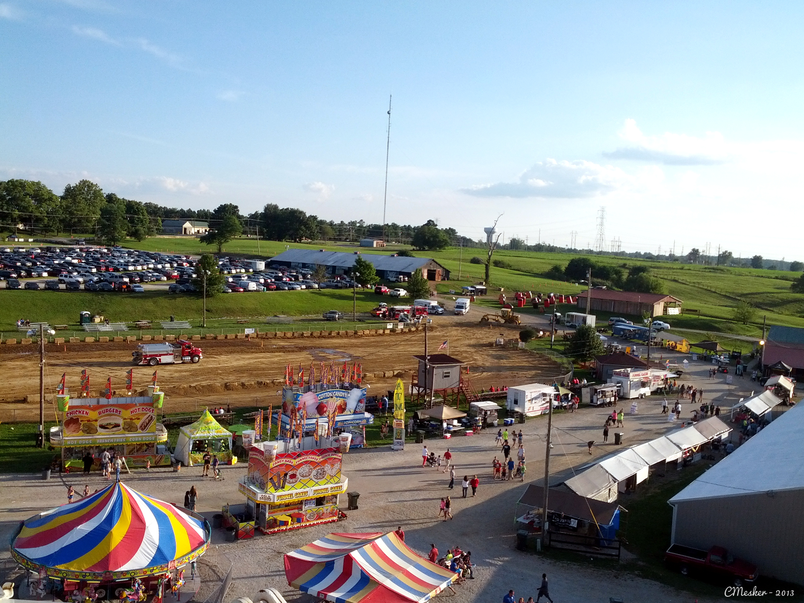
Oldham County Fair from the Ferris Wheel - 10/365
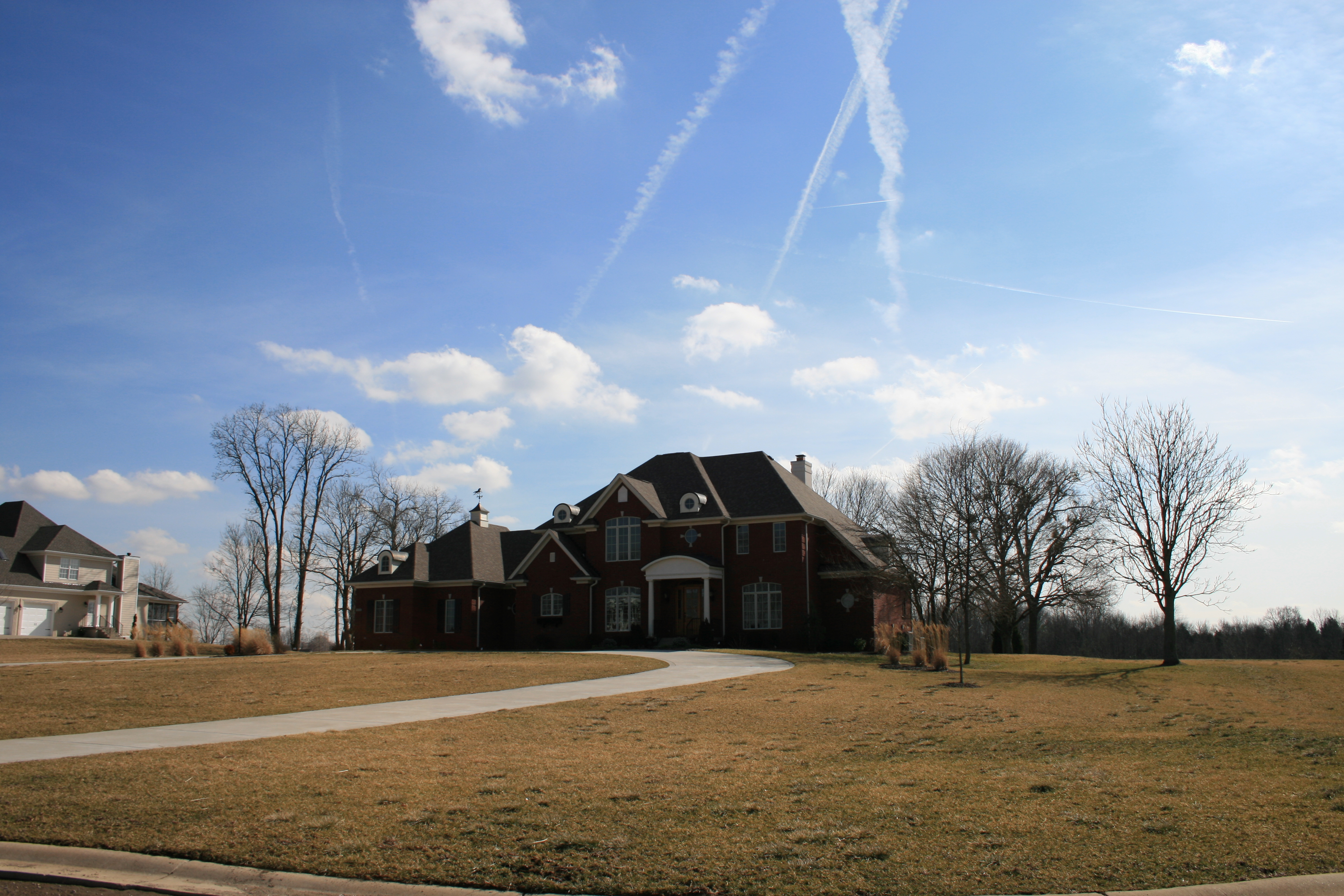
House that Popaw Built

Just A Street that has BIG THINGS that go down the street
View from 3302 Hidden Springs Ln is Lot 39 The Overlook on Covered Bridge

pleasant view church, westport rd., wood township, clark county, indiana

Backyard of LT
View of the Ohio river
View From The Observation Tower

My Friend Joy Looking Down A Virtual Old West Alley
Morning View
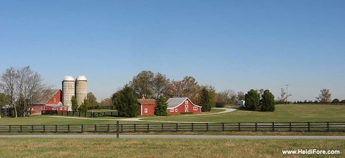
Heritage Farm
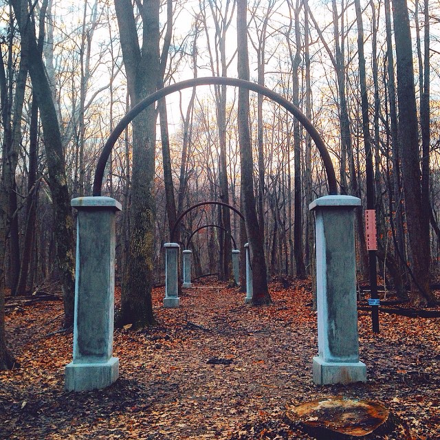
Rose Island Stone Fountain

Rose Island Swimming Pool
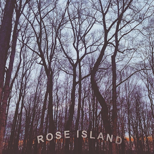
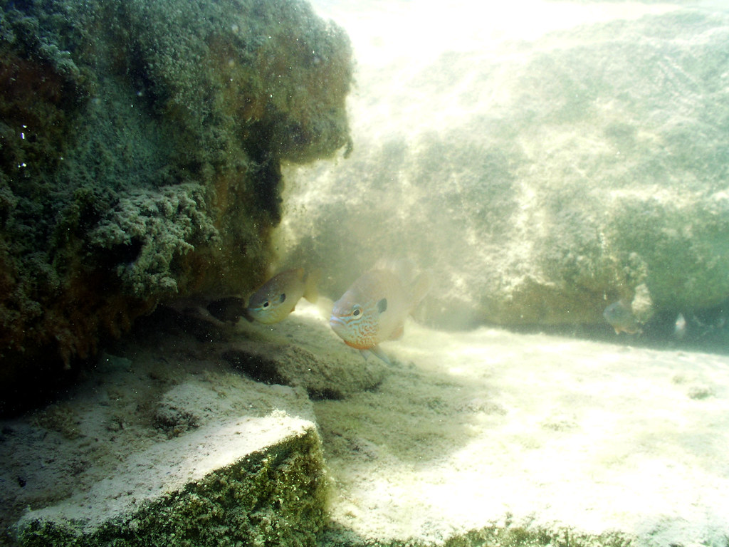
Rose Island | Charlestown, Indiana

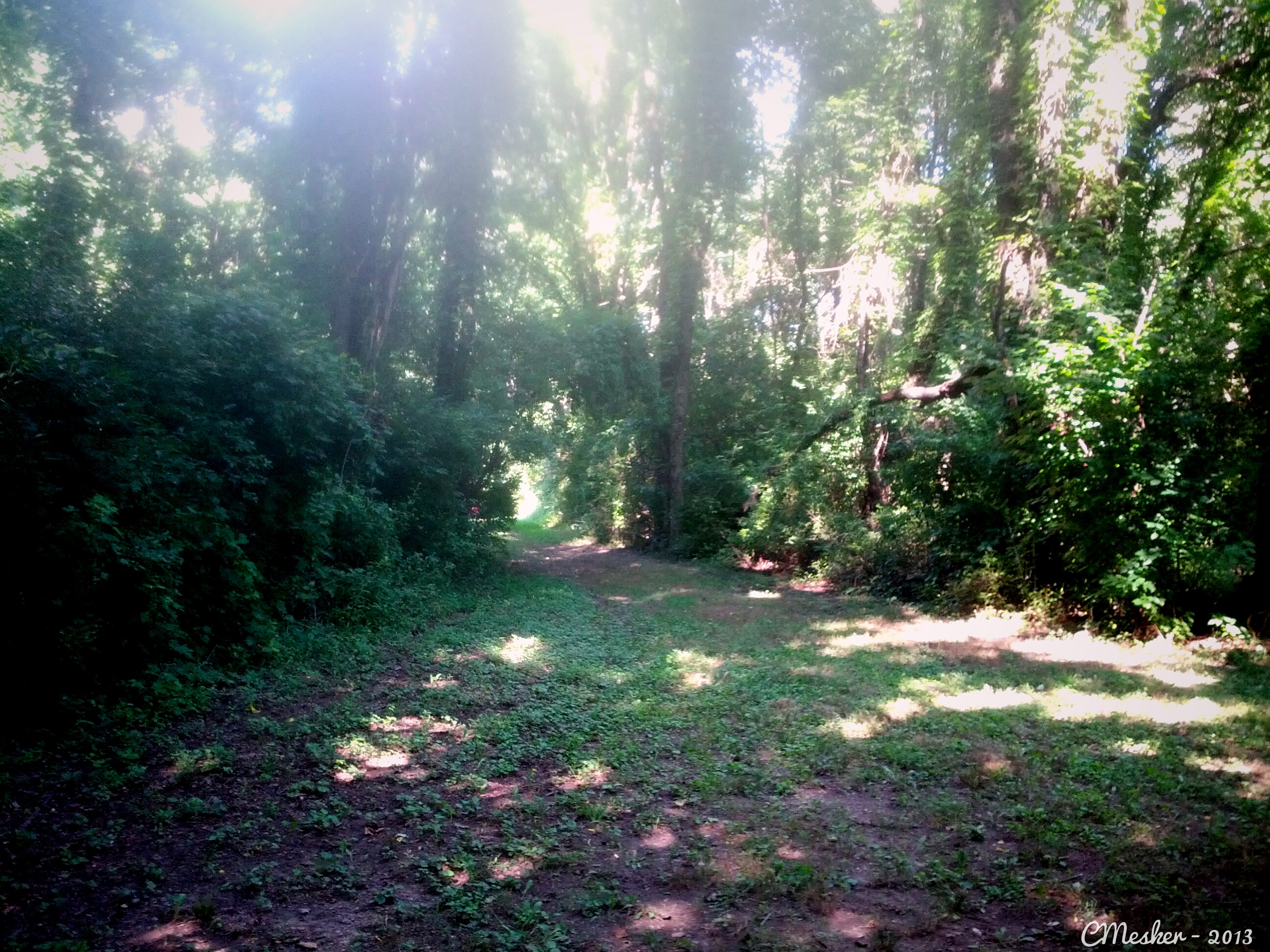
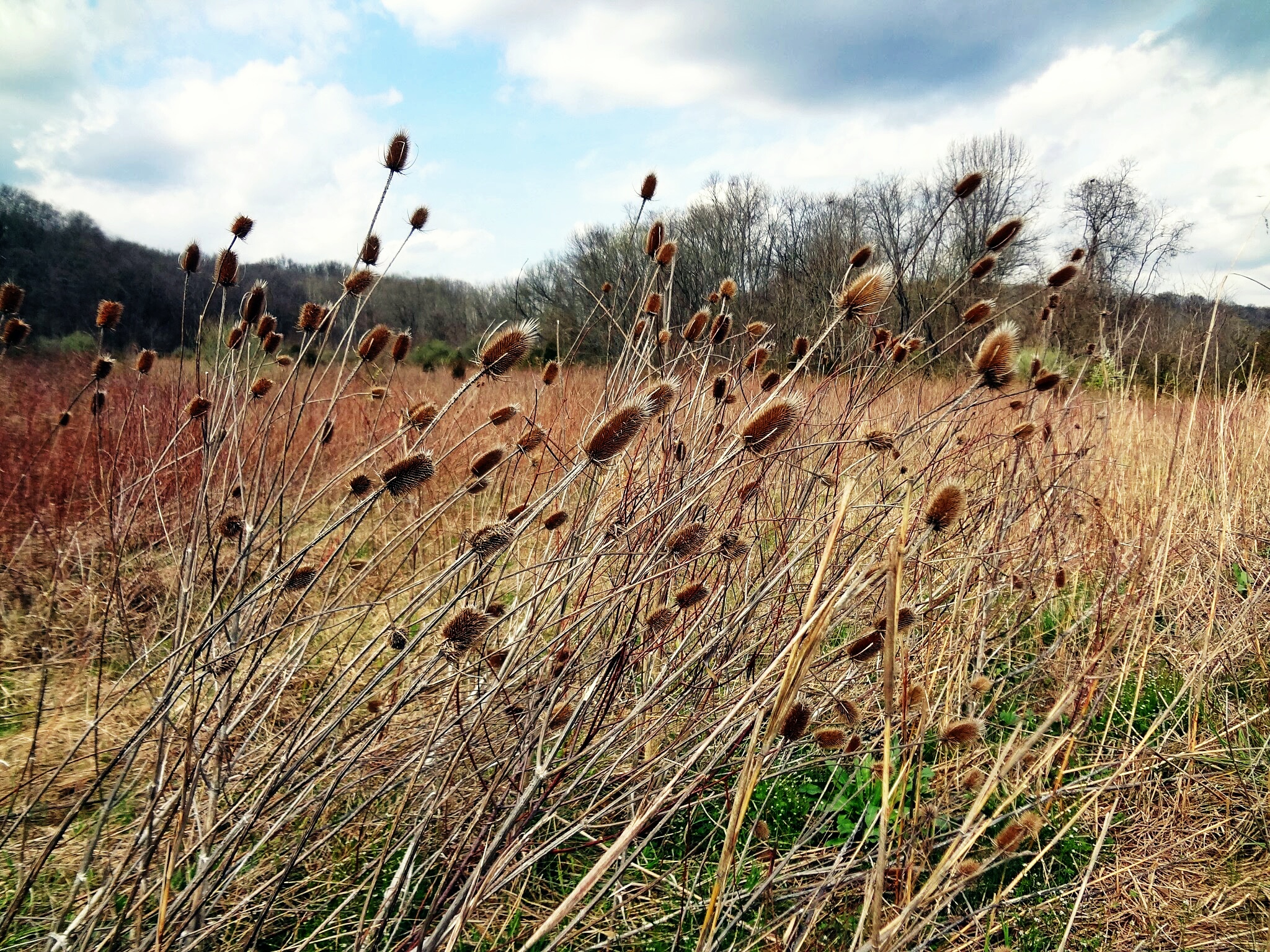
Quiet forest
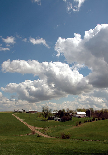
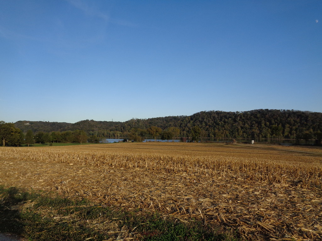
Farm scape
Long and Winding Path - 3/365
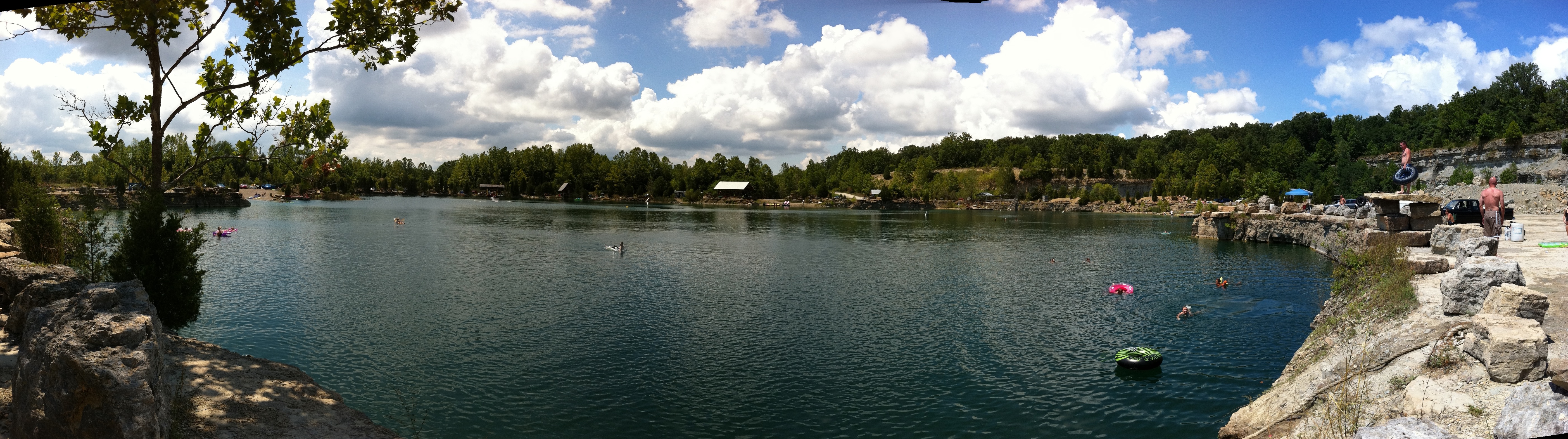
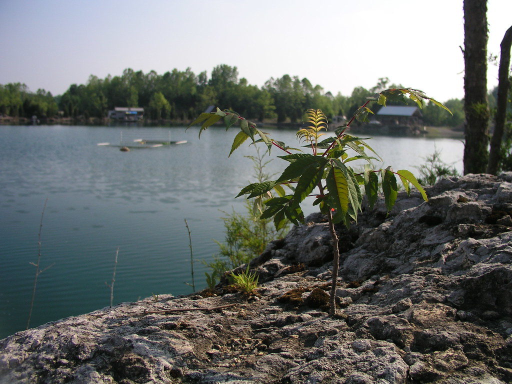
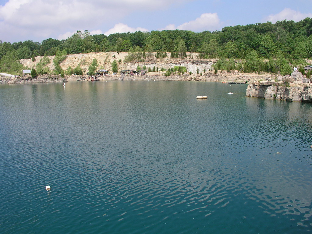
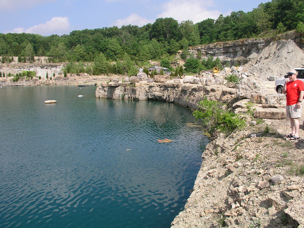
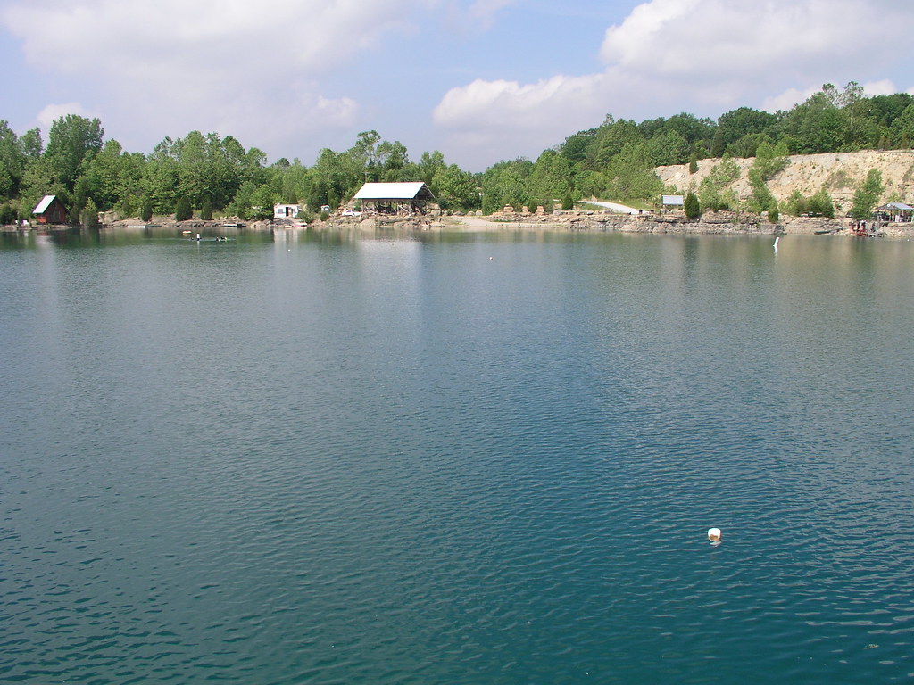
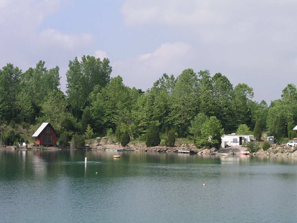
Falling Rock Quarry panoramic
Southern Indiana treasures
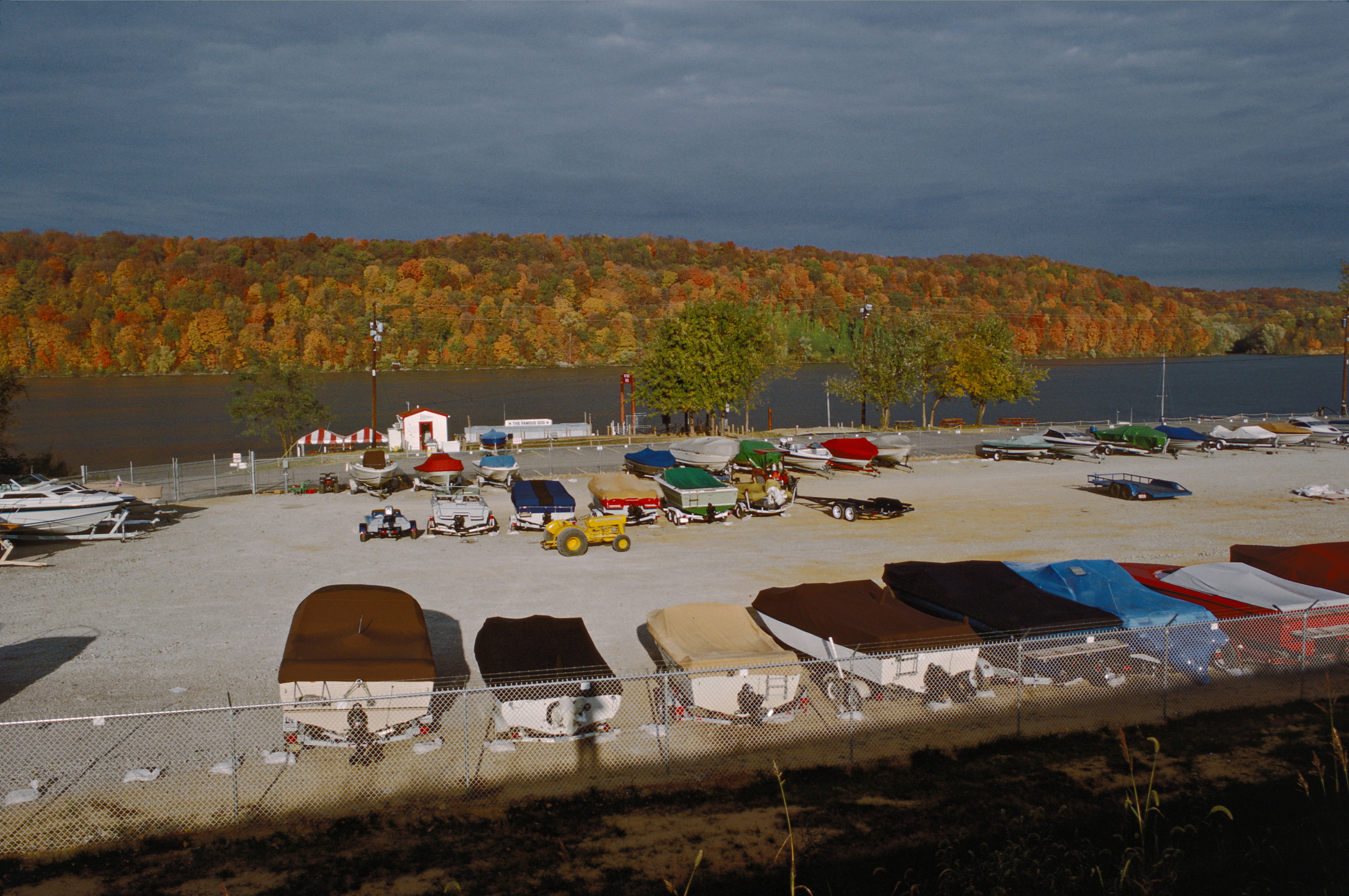
87j270: boat storage area near Famous Dog restaurant
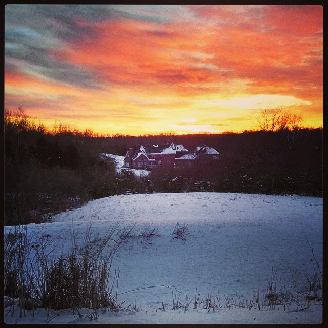
Winter sunset.
Charlestown State Park - IN
20050604-145020
20050604-170150
20050604-093908
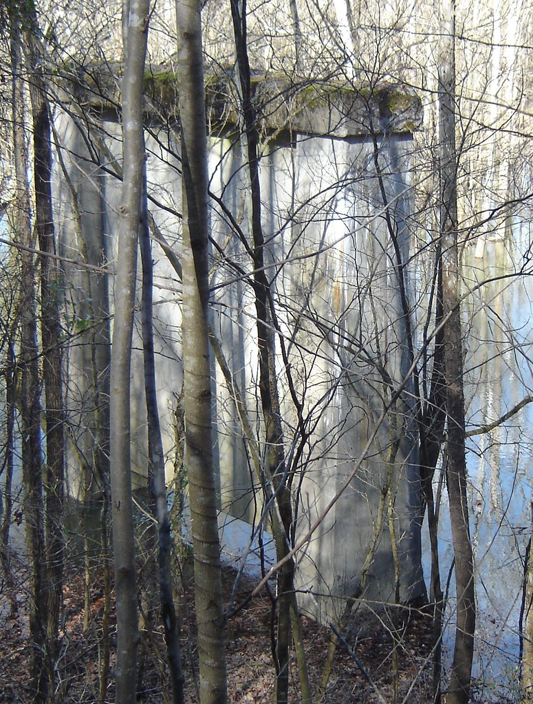
old bridge support
20050604-093914
20050604-093902
20050604-093758

20050604-093858
20050604-094038
20050604-164958
Topographic Map of Owen Township, IN, USA
Find elevation by address:

Places in Owen Township, IN, USA:
Places near Owen Township, IN, USA:
River Rd E, Charlestown, IN, USA
Bull Creek Rd, Charlestown, IN, USA
US-42, Goshen, KY, USA
Cottonwood Dr, Charlestown, IN, USA
1505 Colonial Ct
Marion Martin Rd, Charlestown, IN, USA
1016 Yellow Poplar Dr
Goshen
5107 Glen Cove Rd
Cardinal Harbour Rd, Prospect, KY, USA
13204 Settlers Point Trail
14001 Harbour Pl
Victory Ct, Prospect, KY, USA
Old Zaring Rd, Crestwood, KY, USA
Oldham County
1510 Riverside Dr
1510 Riverside Dr
1510 Riverside Dr
1510 Riverside Dr
2400 Belknap Beach Rd
Recent Searches:
- Elevation of N, Mt Pleasant, UT, USA
- Elevation of 6 Rue Jules Ferry, Beausoleil, France
- Elevation of Sattva Horizon, 4JC6+G9P, Vinayak Nagar, Kattigenahalli, Bengaluru, Karnataka, India
- Elevation of Great Brook Sports, Gold Star Hwy, Groton, CT, USA
- Elevation of 10 Mountain Laurels Dr, Nashua, NH, USA
- Elevation of 16 Gilboa Ln, Nashua, NH, USA
- Elevation of Laurel Rd, Townsend, TN, USA
- Elevation of 3 Nestling Wood Dr, Long Valley, NJ, USA
- Elevation of Ilungu, Tanzania
- Elevation of Yellow Springs Road, Yellow Springs Rd, Chester Springs, PA, USA