Elevation of Owen Boone Rd, Brandon, MS, USA
Location: United States > Mississippi > Rankin County > Brandon >
Longitude: -89.746669
Latitude: 32.106779
Elevation: 118m / 387feet
Barometric Pressure: 100KPa
Elevation Map:
Satellite Map:
Related Photos:
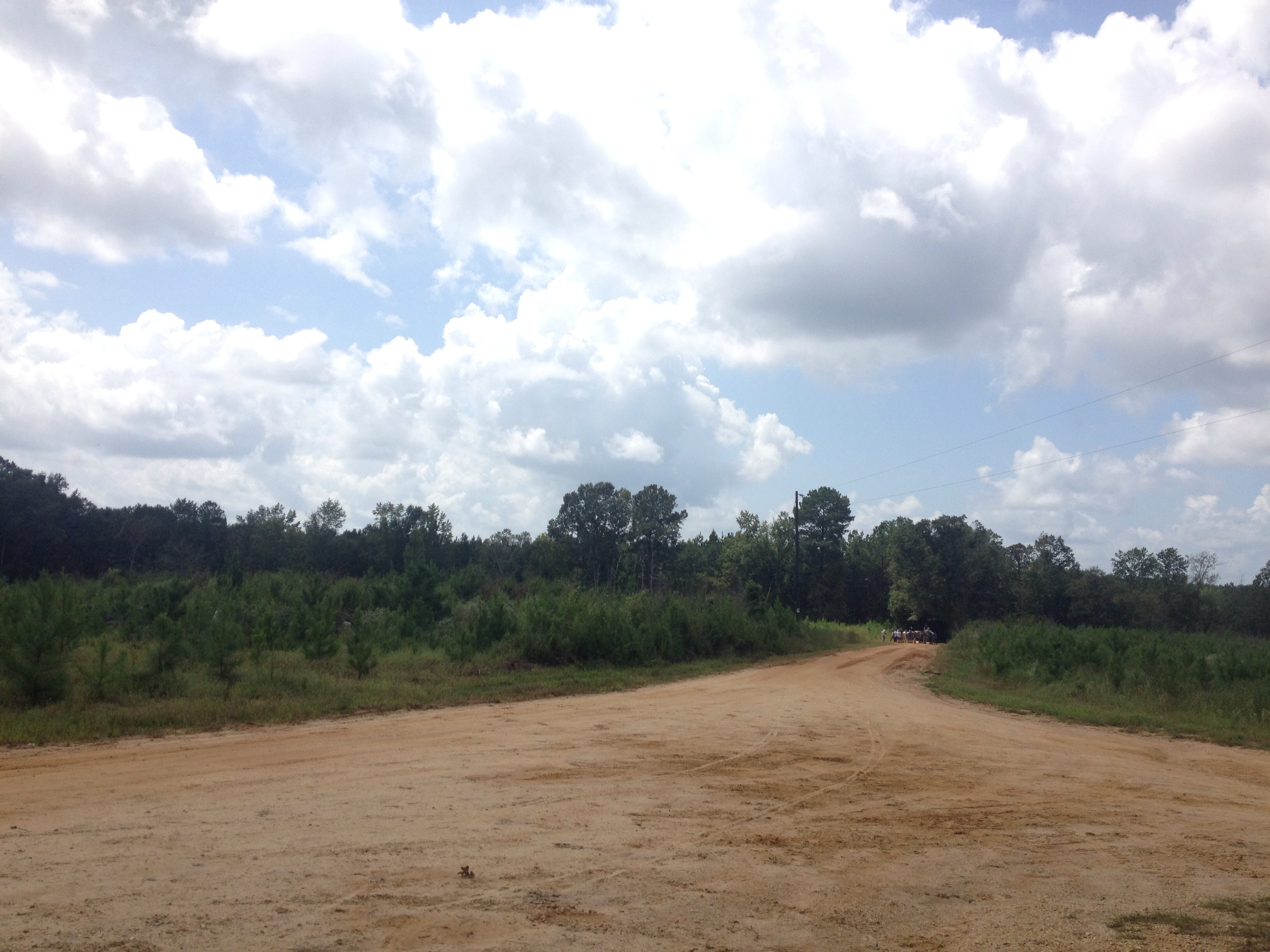
on the road
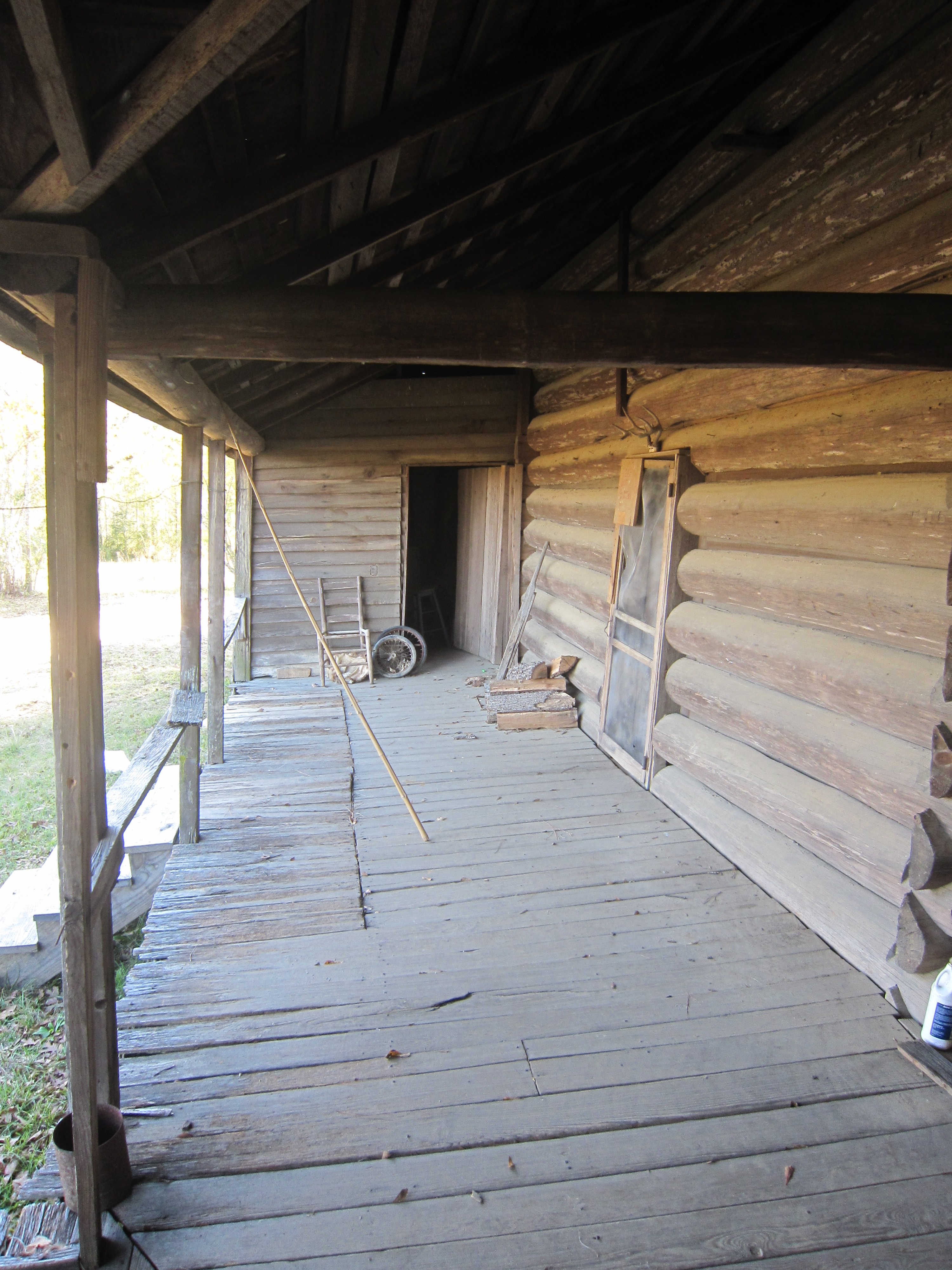
Back porch

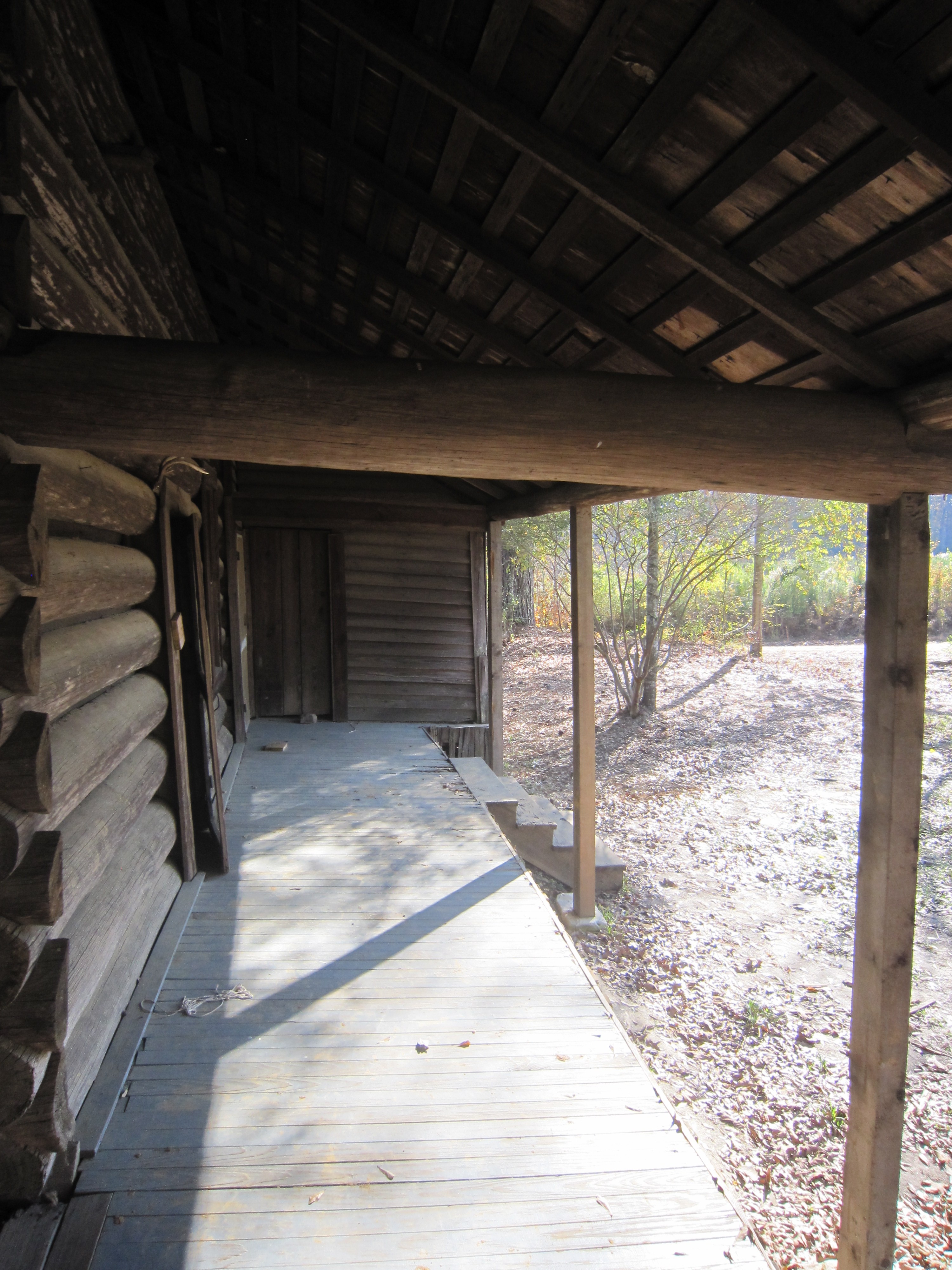
Dog trot

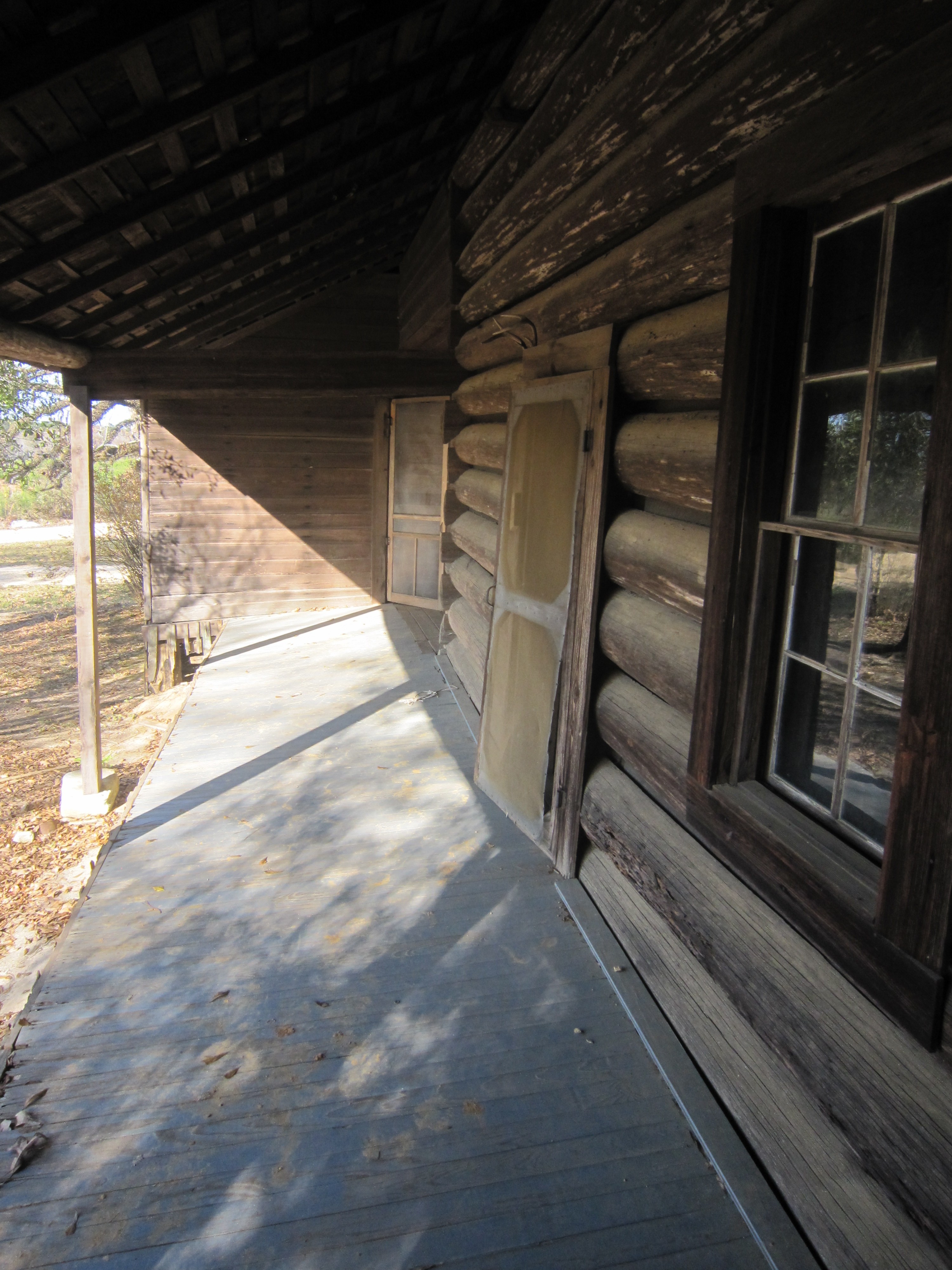
Door and window
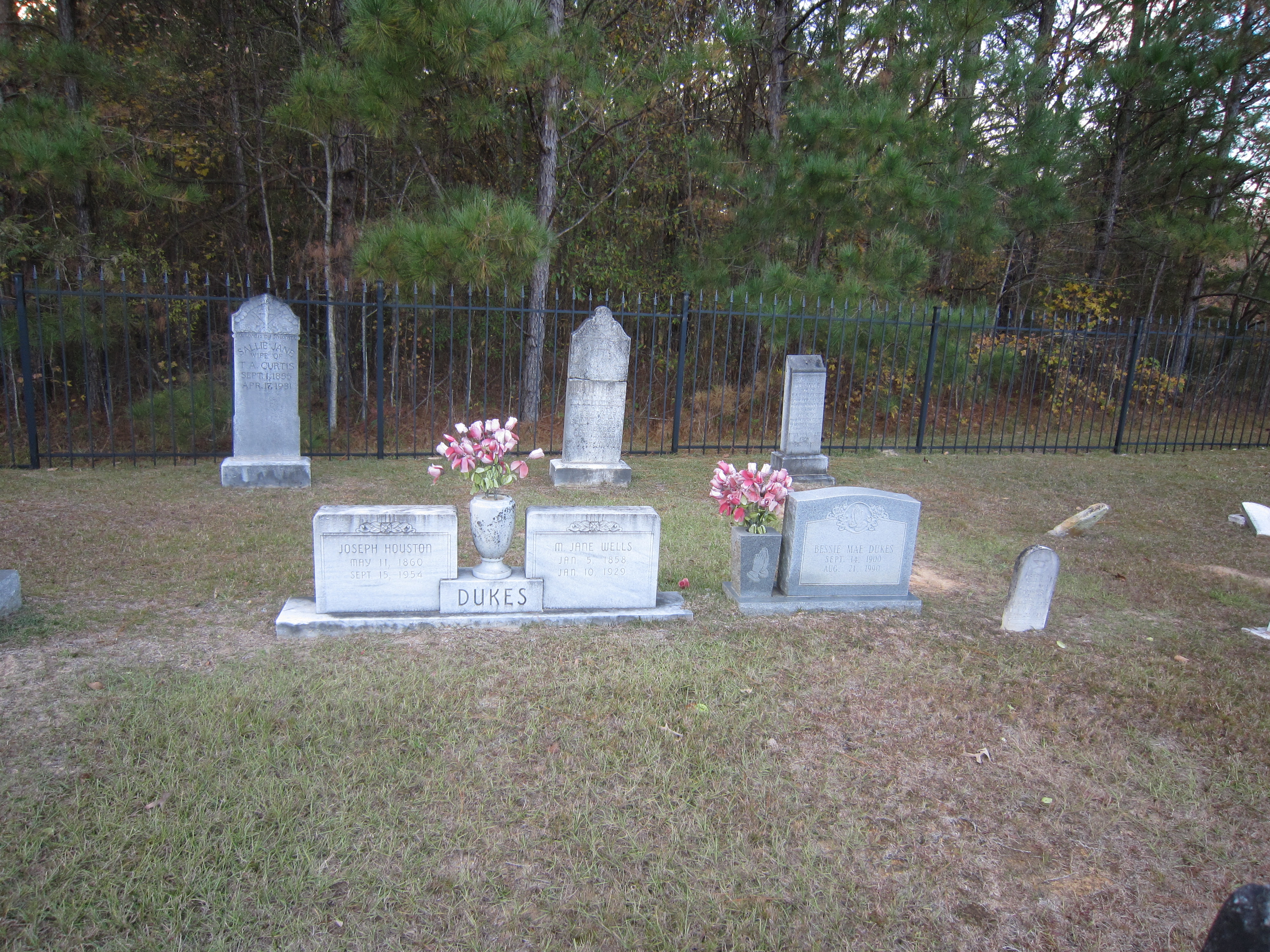
Duke's Cemetery

Duke's Cemetery 3
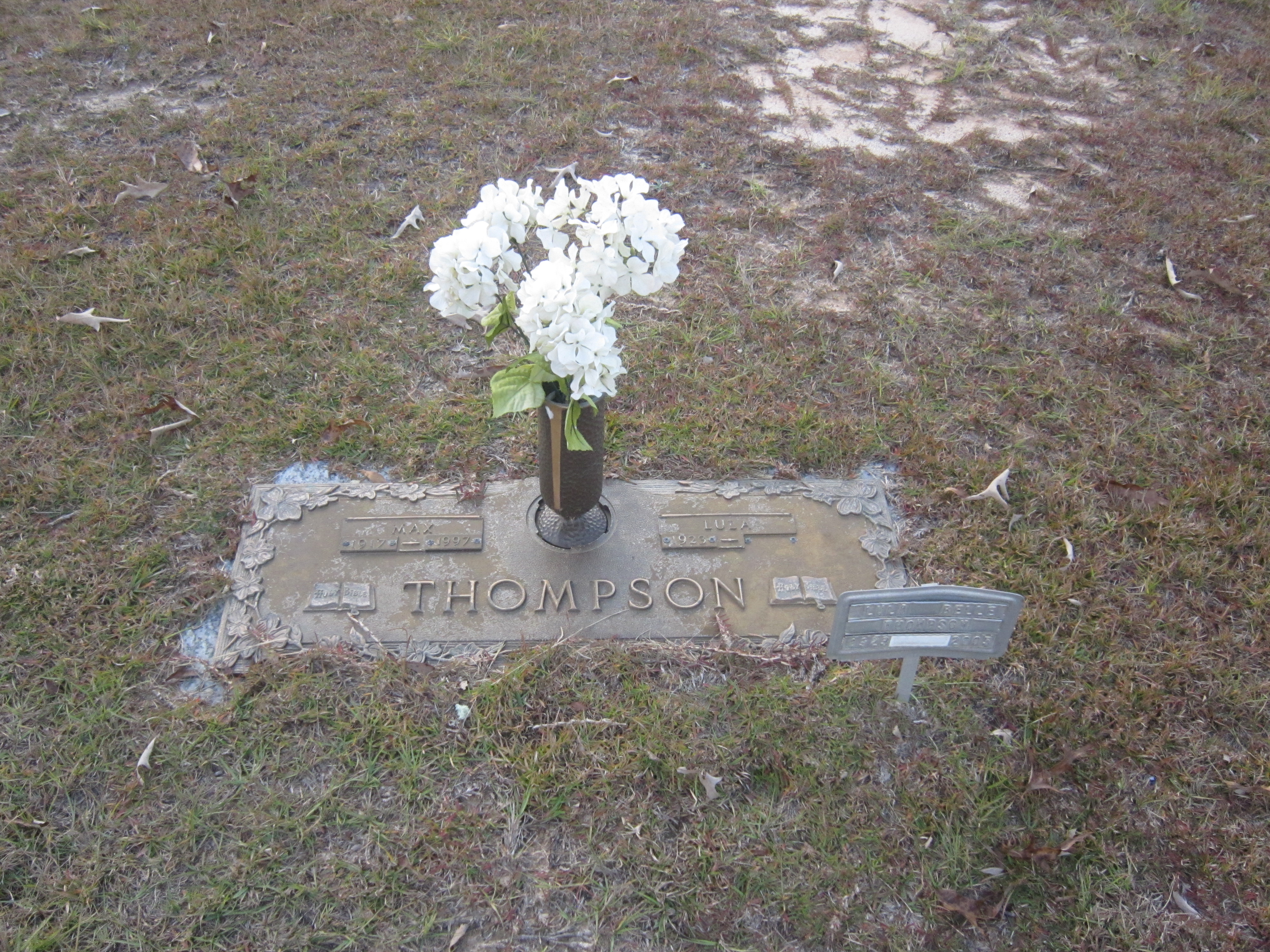
Duke's Cemetery 4
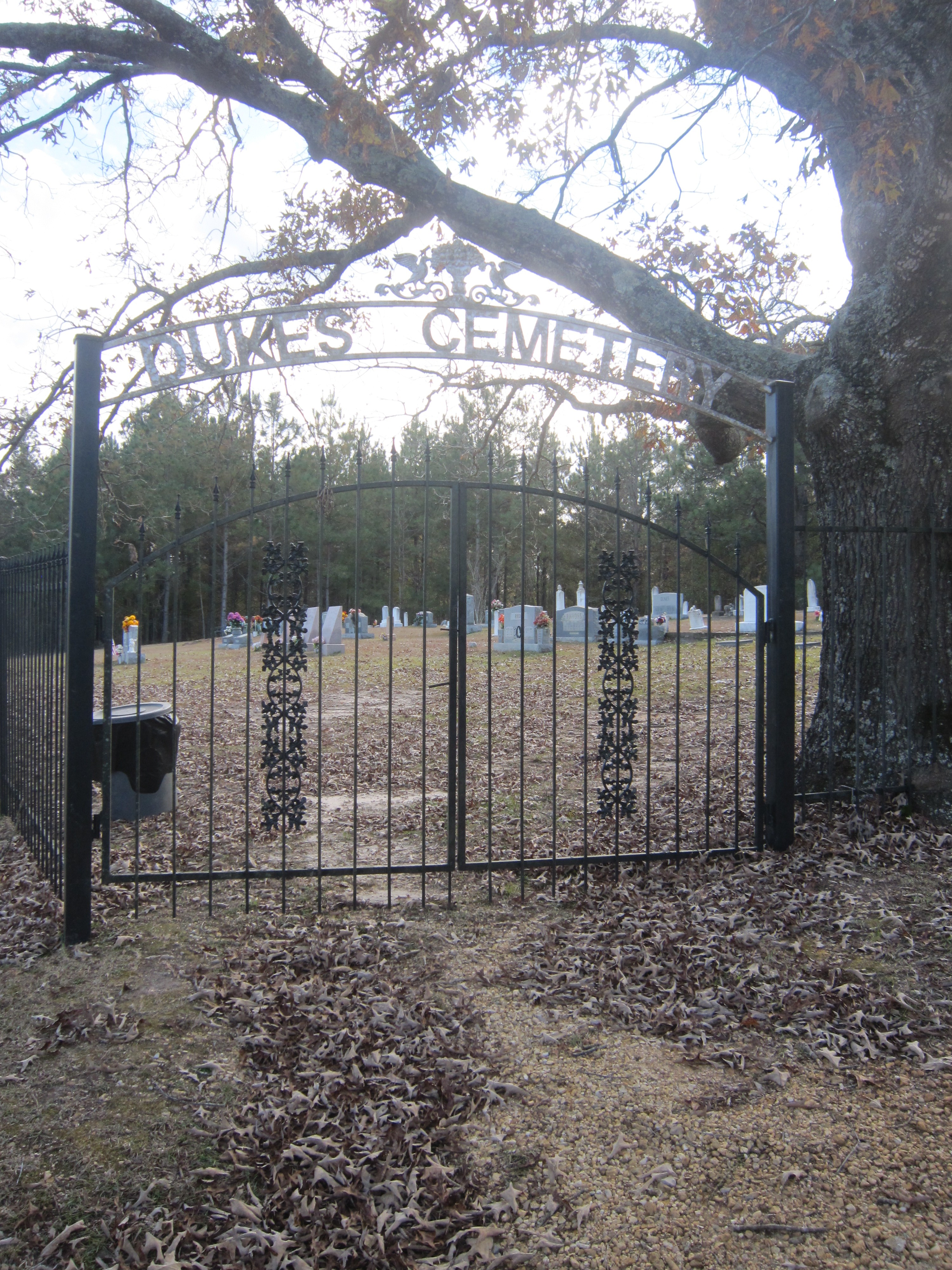
Duke's Cemetery gate
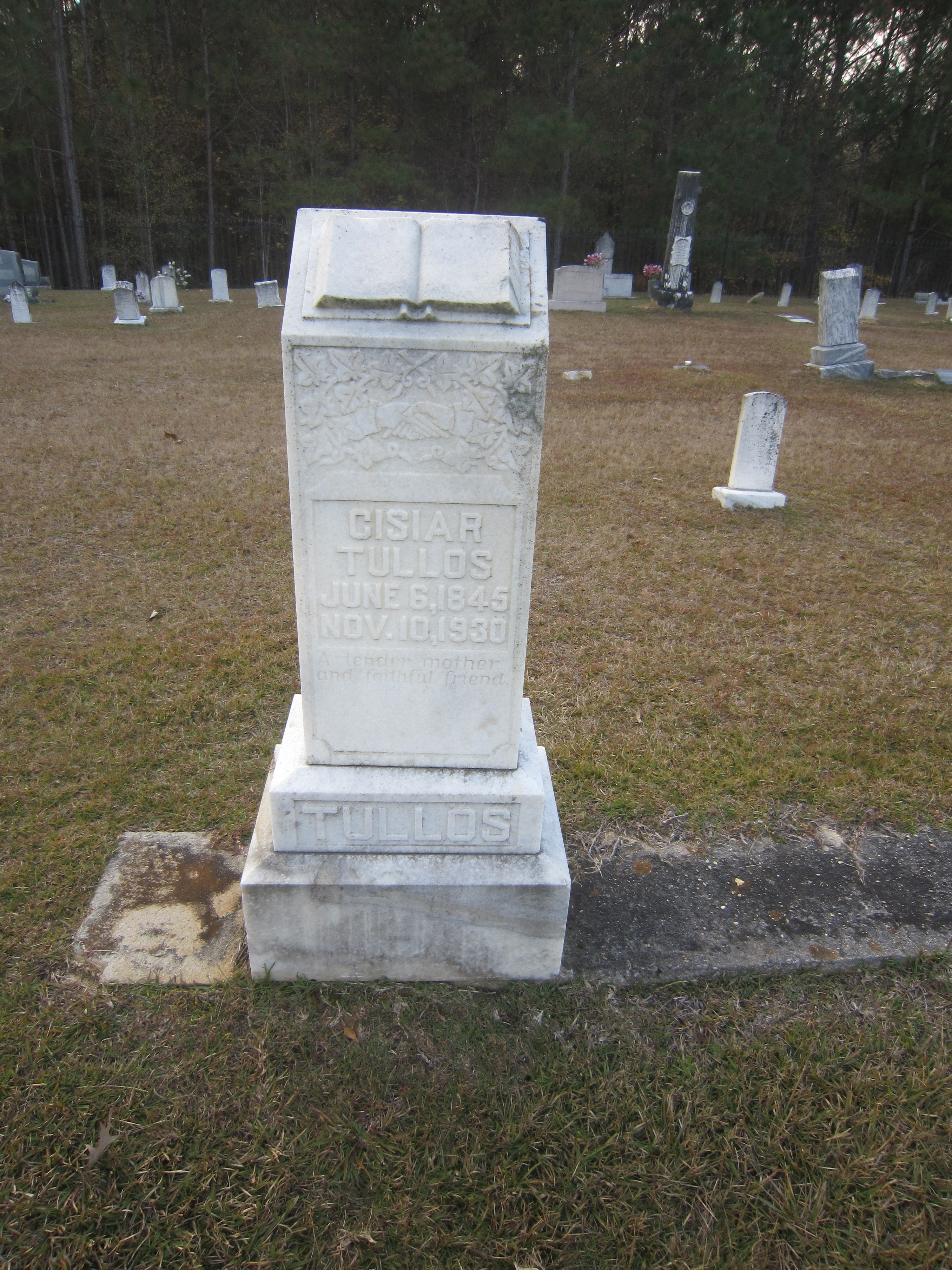
Duke's Cemetery marker

Duke's Cemetery marker 2
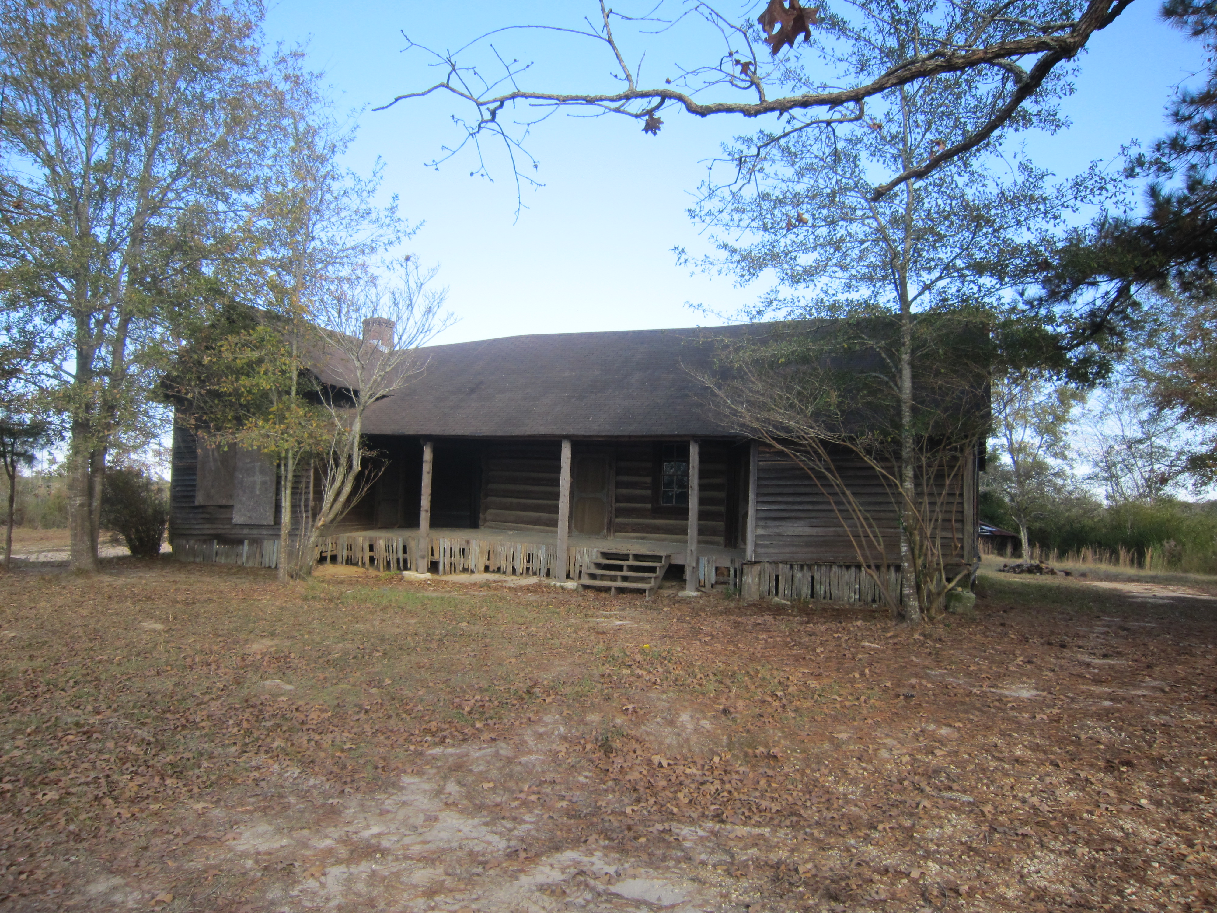
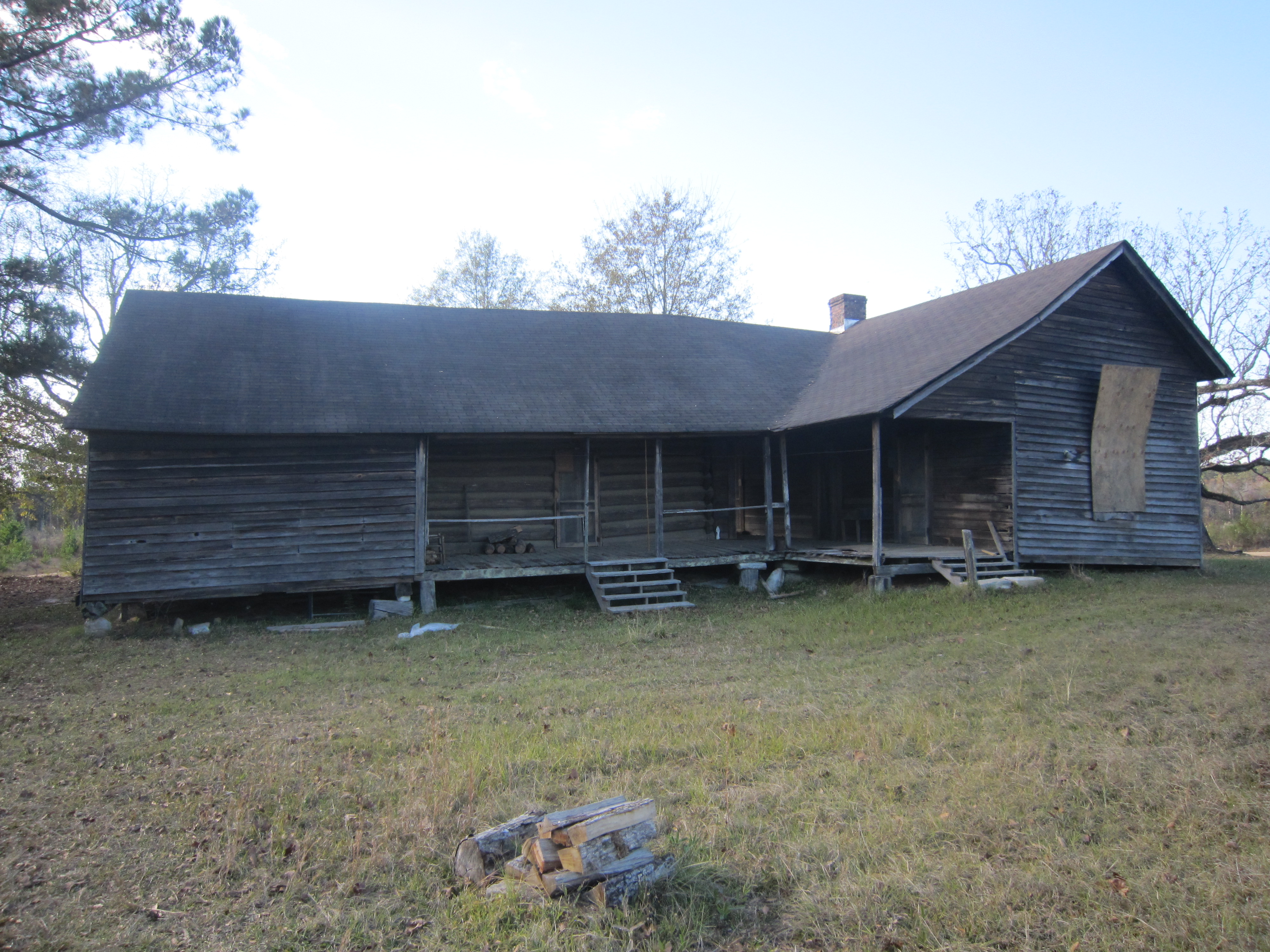
Duke's House
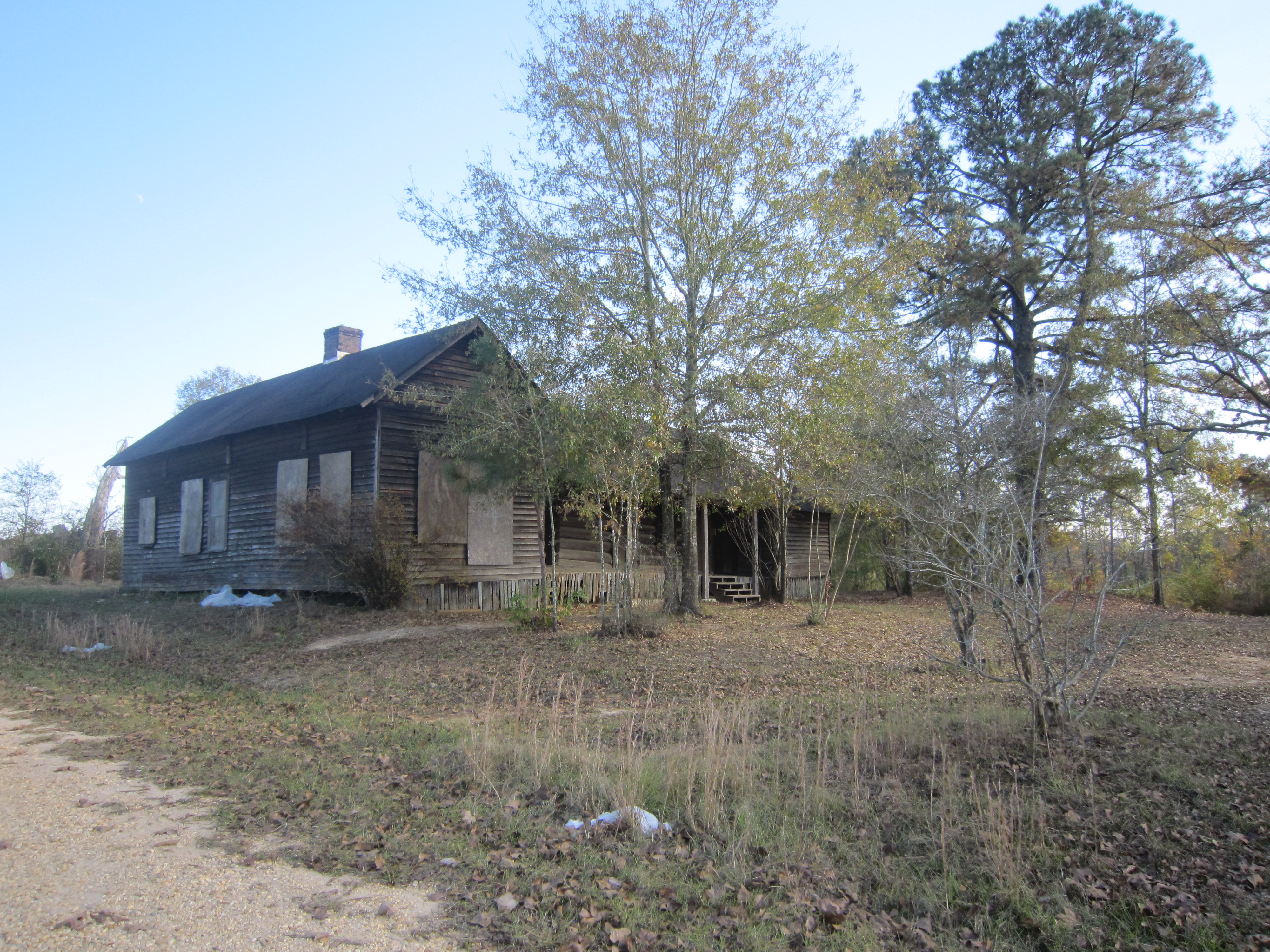
Duke's House 3

Duke's House 4
Duke's House 5

Duke's House 6
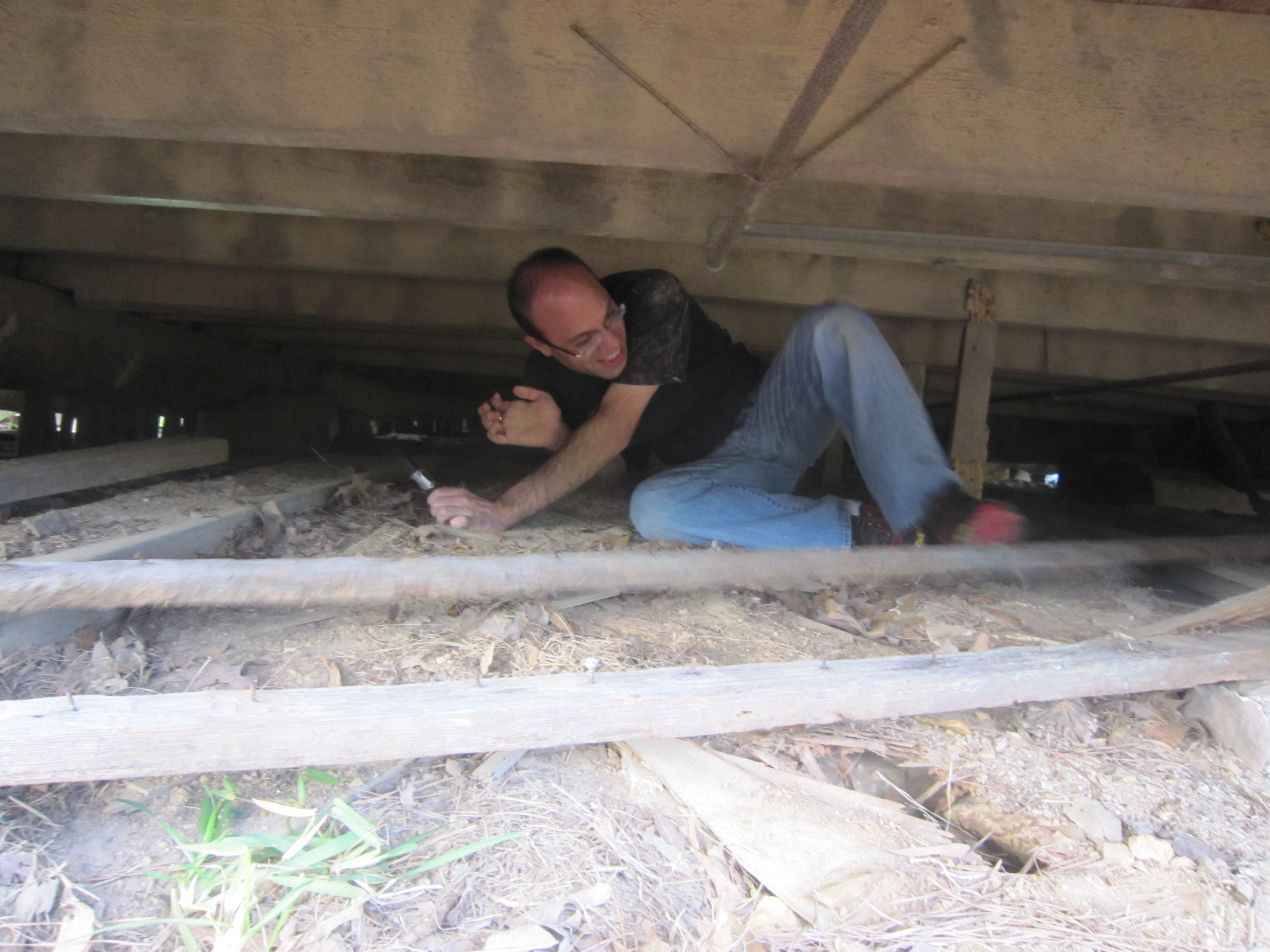
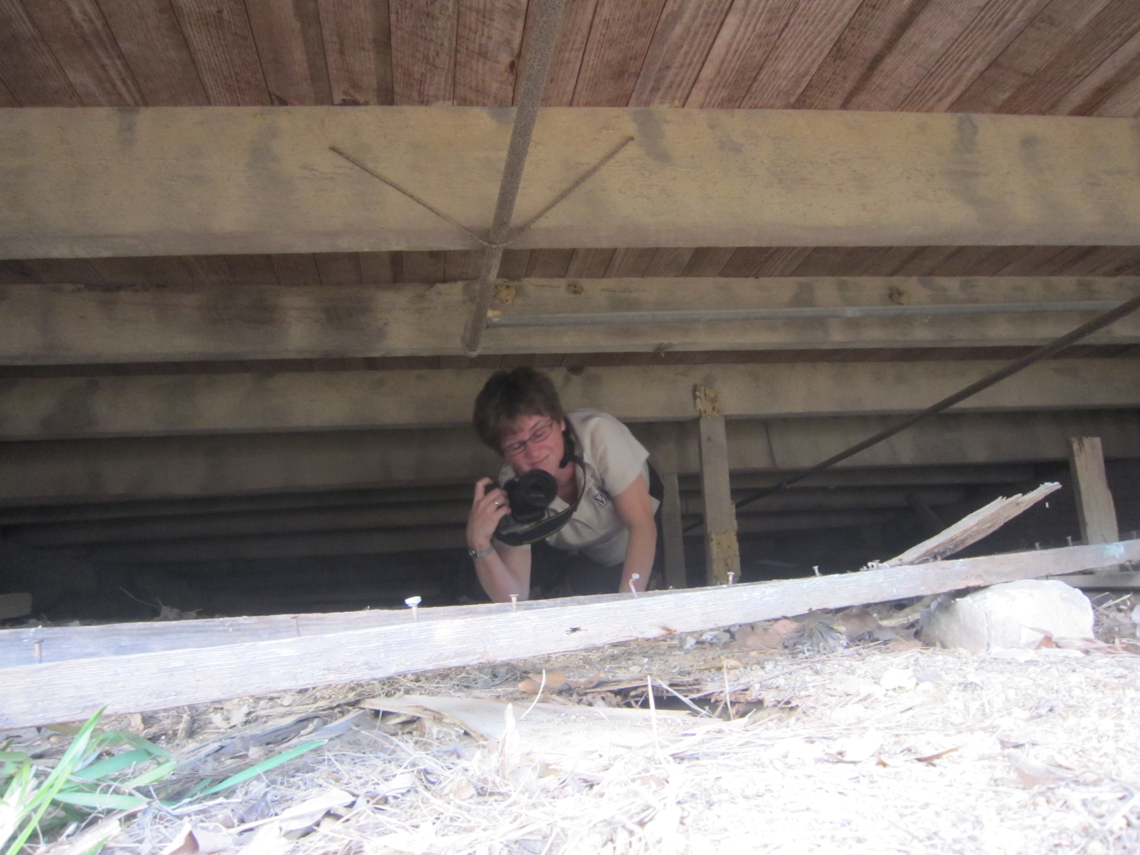
Eric explores
Front porch
Front porch 2
Jennifer explores
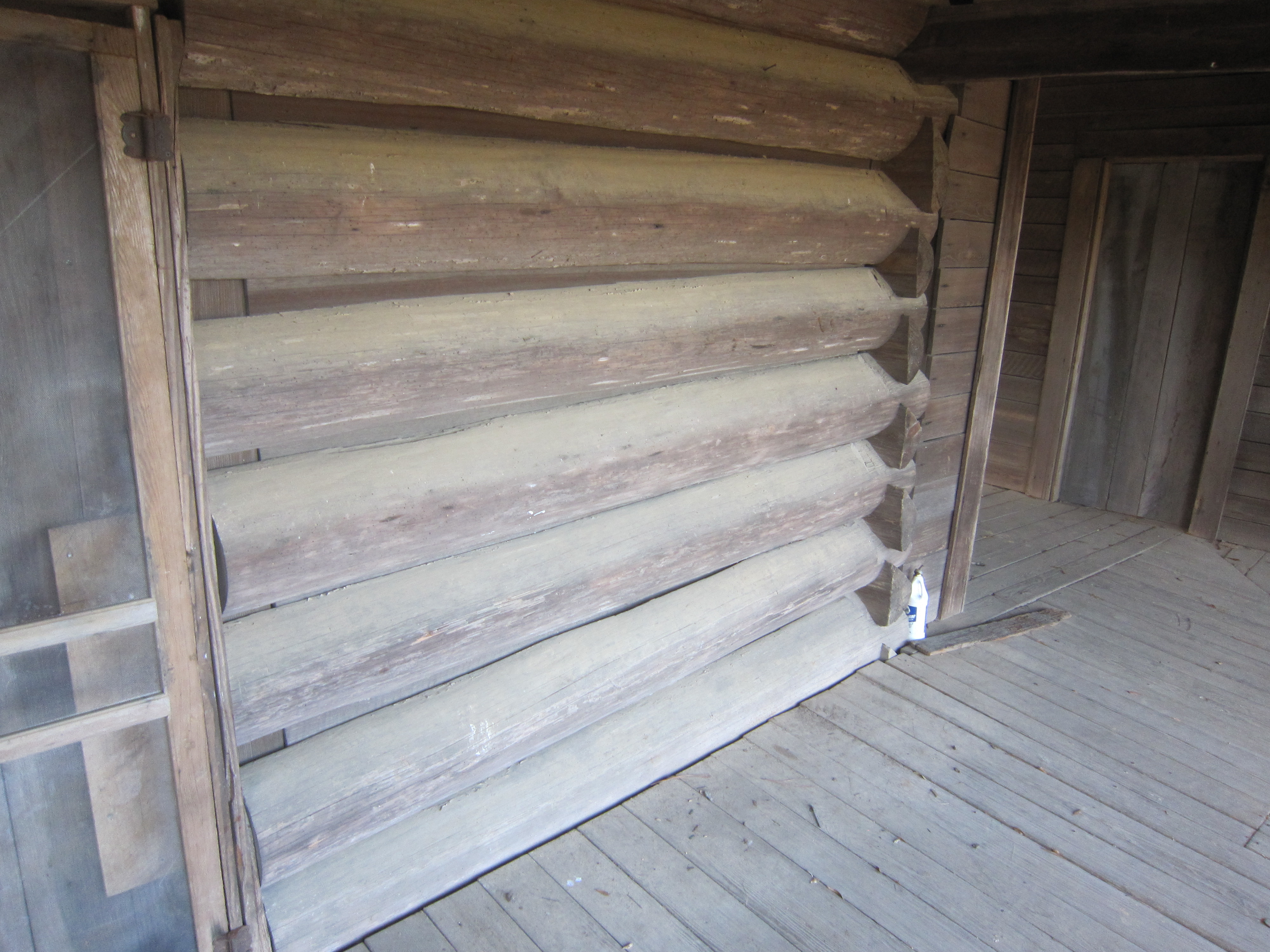
Log wall
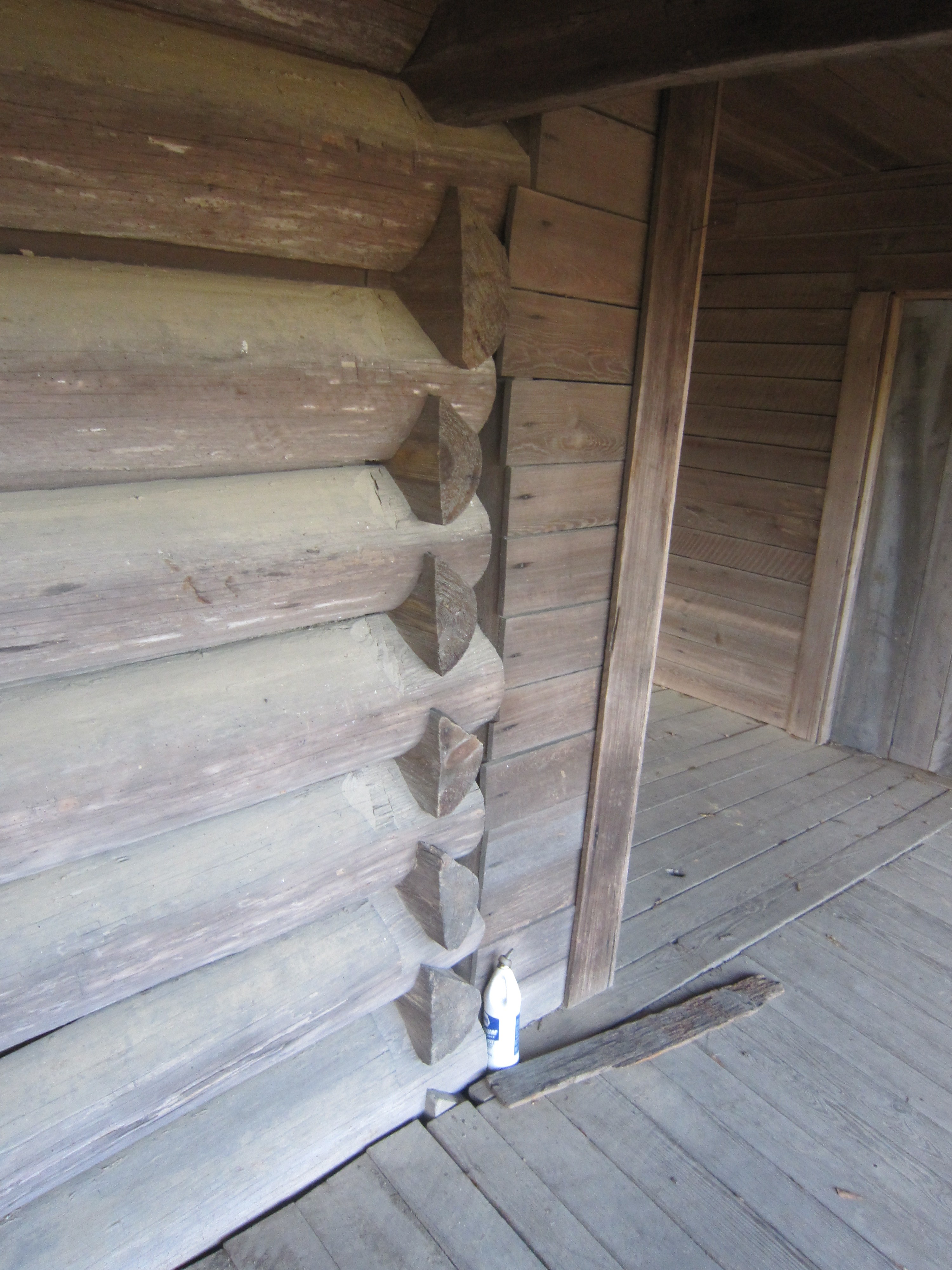
Log wall and joinery
Topographic Map of Owen Boone Rd, Brandon, MS, USA
Find elevation by address:

Places near Owen Boone Rd, Brandon, MS, USA:
Dupre Farms
Gill Rd, Brandon, MS, USA
Warren Cook Rd, Mendenhall, MS, USA
MS-, Mendenhall, MS, USA
MS-, Raleigh, MS, USA
Mendenhall
D'lo
East 4th Street
Gulde Shiloh Rd, Brandon, MS, USA
2164 Ms-13
Magee
Raleigh
Braxton
Rankin County
183 Old Pinola Braxton Rd
US-80, Brandon, MS, USA
1st St, Brandon, MS, USA
Piney Woods
134 Grace Lewis Dr
118 Grace Lewis Dr
Recent Searches:
- Elevation of Corso Fratelli Cairoli, 35, Macerata MC, Italy
- Elevation of Tallevast Rd, Sarasota, FL, USA
- Elevation of 4th St E, Sonoma, CA, USA
- Elevation of Black Hollow Rd, Pennsdale, PA, USA
- Elevation of Oakland Ave, Williamsport, PA, USA
- Elevation of Pedrógão Grande, Portugal
- Elevation of Klee Dr, Martinsburg, WV, USA
- Elevation of Via Roma, Pieranica CR, Italy
- Elevation of Tavkvetili Mountain, Georgia
- Elevation of Hartfords Bluff Cir, Mt Pleasant, SC, USA