Elevation of Ouachita Rd 88, Camden, AR, USA
Location: United States > Arkansas > Ouachita County > Valley Township >
Longitude: -92.776923
Latitude: 33.653227
Elevation: 38m / 125feet
Barometric Pressure: 101KPa
Elevation Map:
Satellite Map:
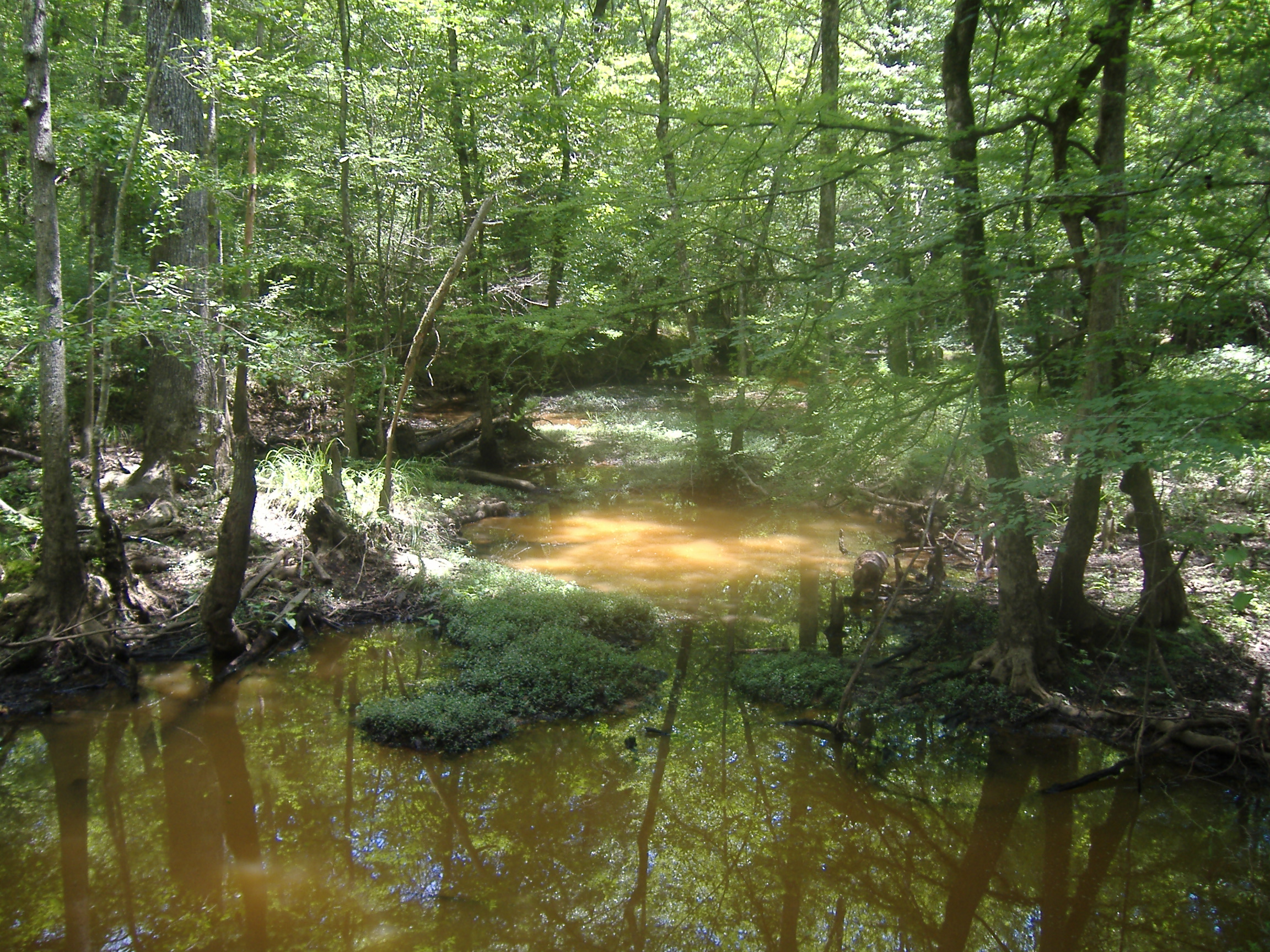
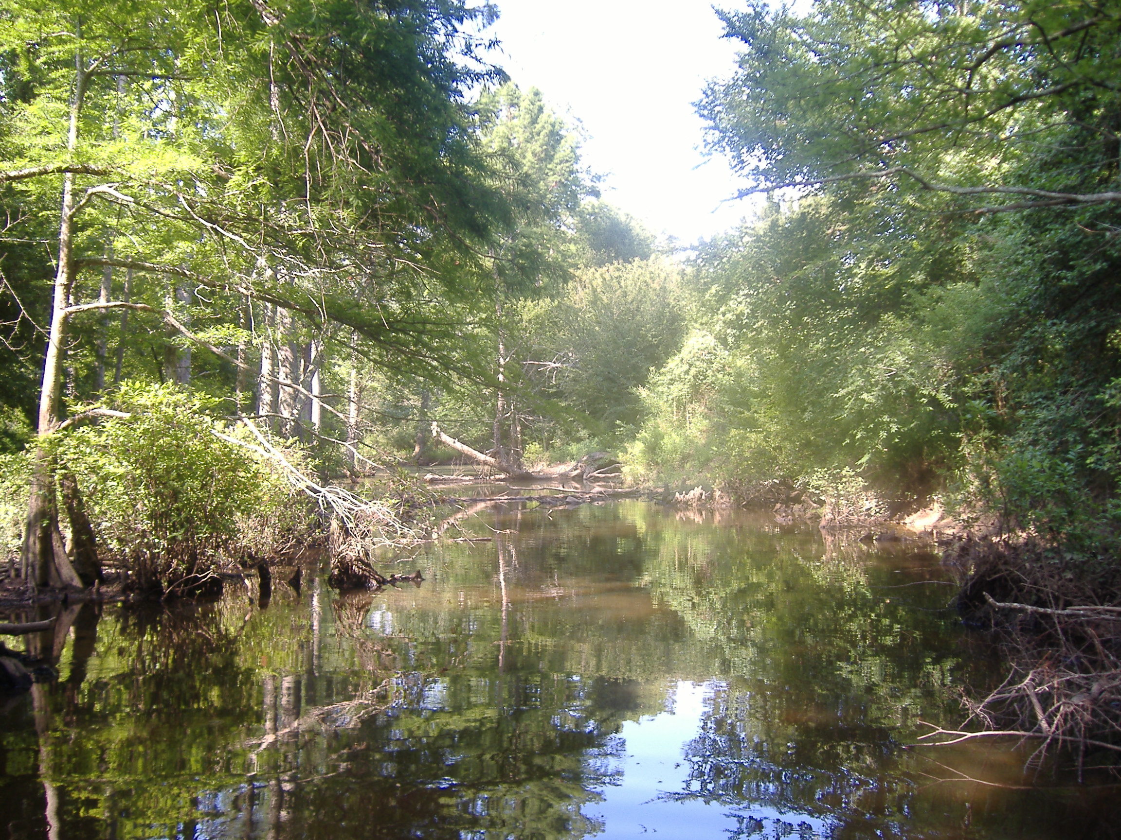
Related Photos:

stop the bleeding

A Self-Argument

garden find

The Eye(let)s have it...

Memories revisited

Affirmative -adj.: positive; not negative; expecting the best

Harvey...

well house bar framed
DSCF0672_027 (2)
DSCF0642_022 (2)
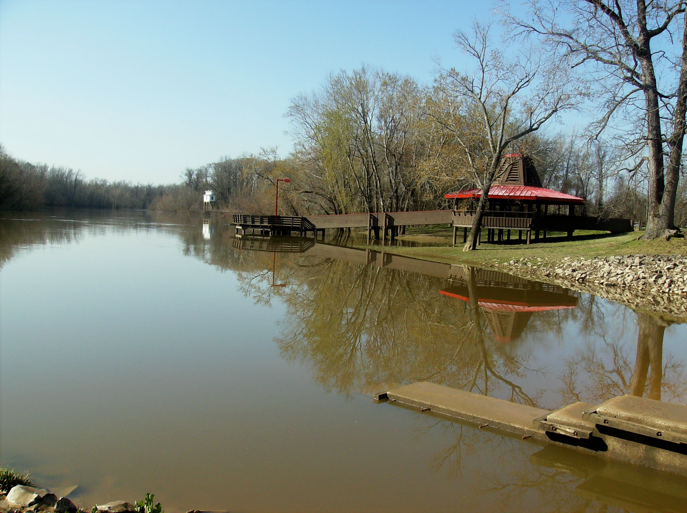
Sandy Beach Recreation Area
Topographic Map of Ouachita Rd 88, Camden, AR, USA
Find elevation by address:

Places near Ouachita Rd 88, Camden, AR, USA:
US-79, Camden, AR, USA
Bradley Township
Valley Township
East Camden
525 Ouachita Rd 210
602 Ouachita Rd 77
111 N Mustin Lake Rd
US-79, Thornton, AR, USA
Calhoun County
Welsco Rd, Smackover, AR, USA
579 Archer
Township 8
Smackover Township
Hampton
Main, Norphlet, AR, USA
Norphlet
Norphlet Township
W Main Calion, El Dorado, AR, USA
Calion
Calhoun 40, Hampton, AR, USA
Recent Searches:
- Elevation of N WI-55, Freedom, WI, USA
- Elevation map of Hadiya, Ethiopia
- Elevation of Hosaina, Ethiopia
- Elevation of Verde Terrace, North Port, FL, USA
- Elevation of US-, Leesburg, FL, USA
- Elevation of Summit Dr, Kerrville, TX, USA
- Elevation of Hanson Rd, Cedaredge, CO, USA
- Elevation of Maxine St NE, Albuquerque, NM, USA
- Elevation of Blattner Rd, Philo, CA, USA
- Elevation of Polzela, Slovenia