Elevation of Orwell Township, OH, USA
Location: United States > Ohio > Ashtabula County >
Longitude: -80.876520
Latitude: 41.5374511
Elevation: 263m / 863feet
Barometric Pressure: 98KPa
Elevation Map:
Satellite Map:
Related Photos:

Panoramic View of Corner Field "O Scale" Model Railroad @ Middlefield, Ohio

Windsor Mills Bridge

(#22) Ohio Bicentennial Barn, Geauga County

One lane...

Light Poured Like Honey ....

Christmas colors

more Bill's Hybrids
View Towards Rt 87

farm school, back view

Field of dreams...

tanker 15 rear view

Bird's Eye View

Bill's Hybrids...

Windsor Mills Bridge

Open Spaces

Windsor Mills Covered Bridge - Ashtabula County, Ohio.

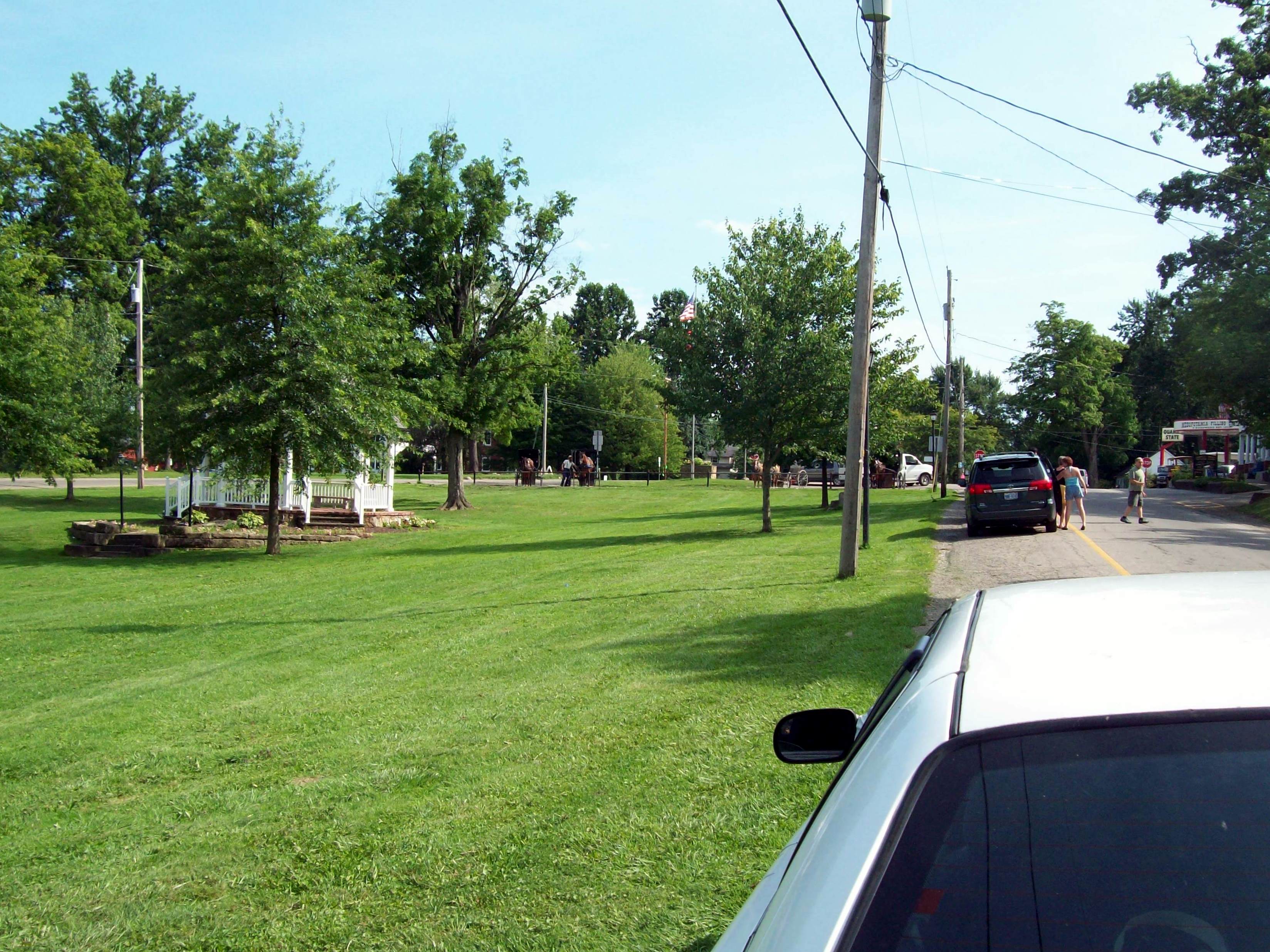
Mesopotamia, OH

Nature Preserve

Windburned Cattails

Wiswell Road Covered Bridge- Windsor Mills OH (2)

norman's corn

Autumn Comes To Phelps Creek

Carlos Lyman House

Phelps Creek

2010-06-10_07
Topographic Map of Orwell Township, OH, USA
Find elevation by address:

Places in Orwell Township, OH, USA:
Places near Orwell Township, OH, USA:
15 W Main St, Orwell, OH, USA
Orwell
120 Eddy Ct
116 Eddy Ct
109 Leffingwell Dr
4462 Montgomery Rd
Township Hwy, North Bloomfield, OH, USA
Rome Township
Windsor Township
Hartsgrove Township
4323 Oh-534
5085 Hyde Rd
Huntsburg Township
Huntsburg Township
Huntsburg Township
Huntsburg Township
Huntsburg Township
Huntsburg Township
Huntsburg Township
Huntsburg Township
Recent Searches:
- Elevation of Elwyn Dr, Roanoke Rapids, NC, USA
- Elevation of Congressional Dr, Stevensville, MD, USA
- Elevation of Bellview Rd, McLean, VA, USA
- Elevation of Stage Island Rd, Chatham, MA, USA
- Elevation of Shibuya Scramble Crossing, 21 Udagawacho, Shibuya City, Tokyo -, Japan
- Elevation of Jadagoniai, Kaunas District Municipality, Lithuania
- Elevation of Pagonija rock, Kranto 7-oji g. 8"N, Kaunas, Lithuania
- Elevation of Co Rd 87, Jamestown, CO, USA
- Elevation of Tenjo, Cundinamarca, Colombia
- Elevation of Côte-des-Neiges, Montreal, QC H4A 3J6, Canada