Elevation of Orestiada, Greece
Location: Greece > Evros >
Longitude: 26.3721711
Latitude: 41.5978859
Elevation: 59m / 194feet
Barometric Pressure: 101KPa
Elevation Map:
Satellite Map:
Related Photos:
P1050130.JPG

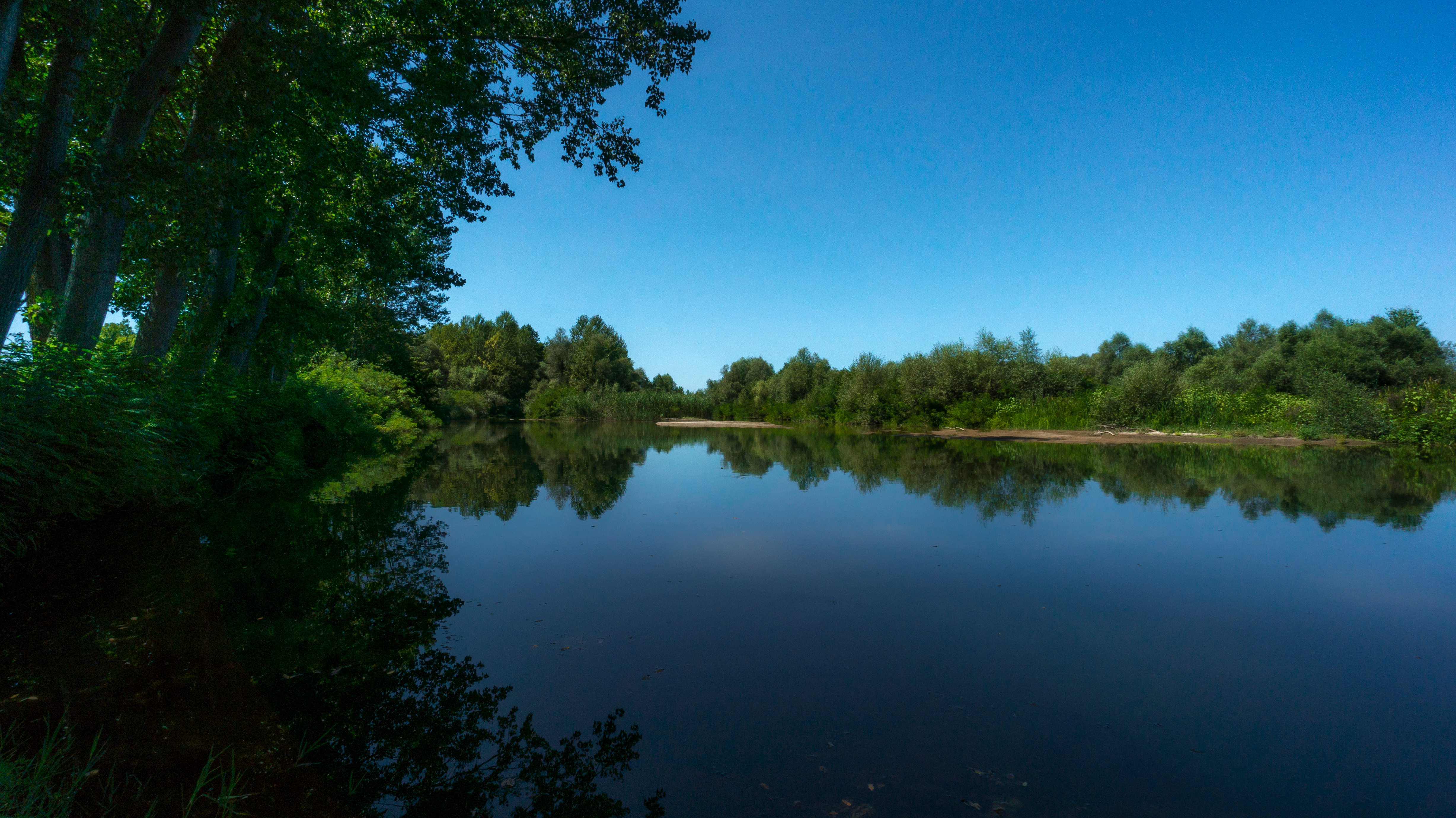
Άρδας Ποταμός

Ardas Riverbank
☁

Not Today
☁
Good morning
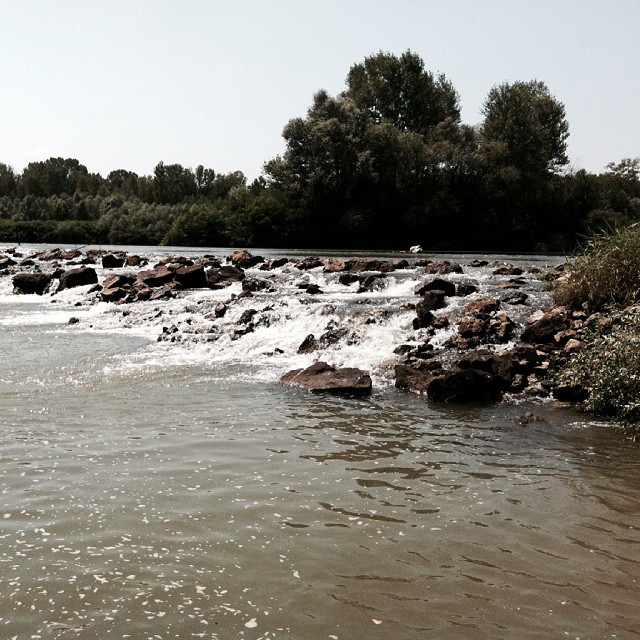
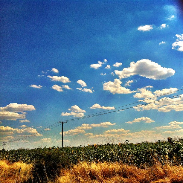
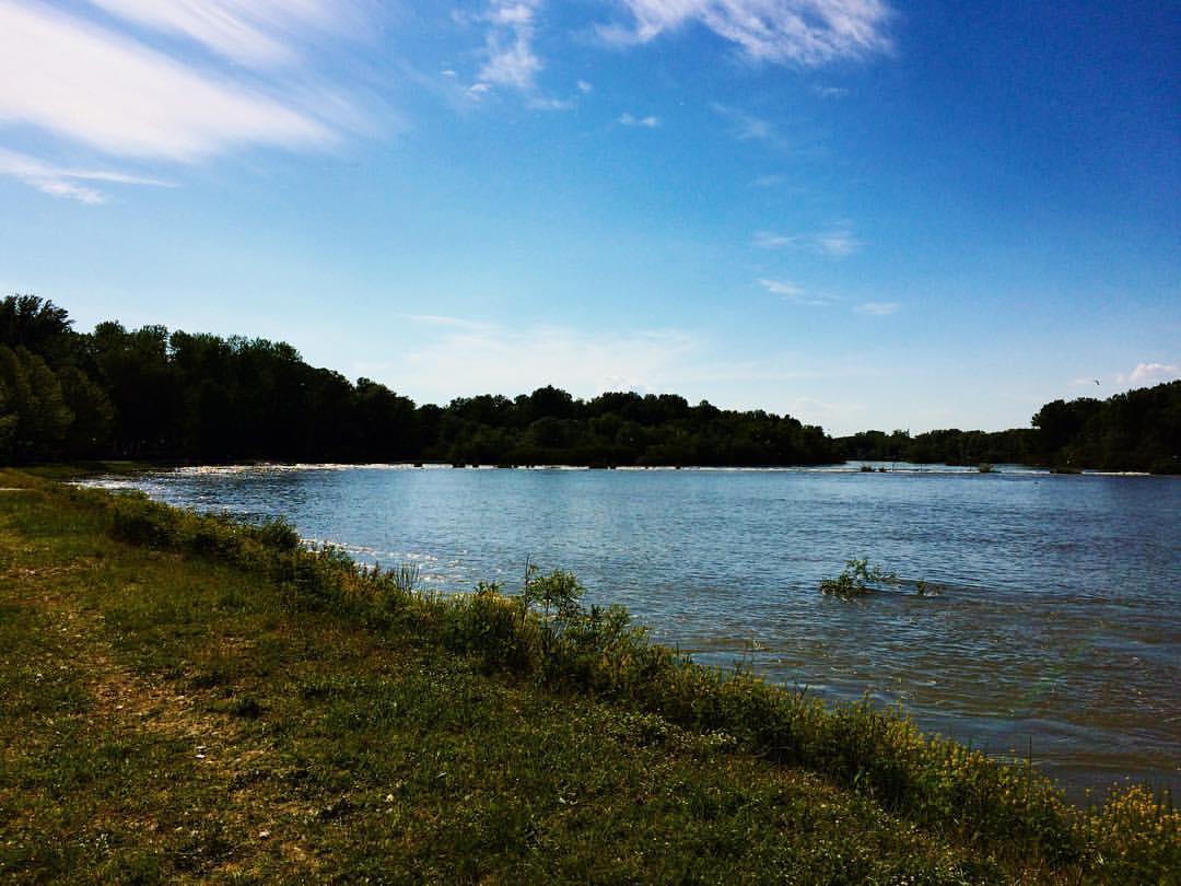
Ardas river
☁️

καφεδάκι με θεα...τον καμπο της βυσσας.
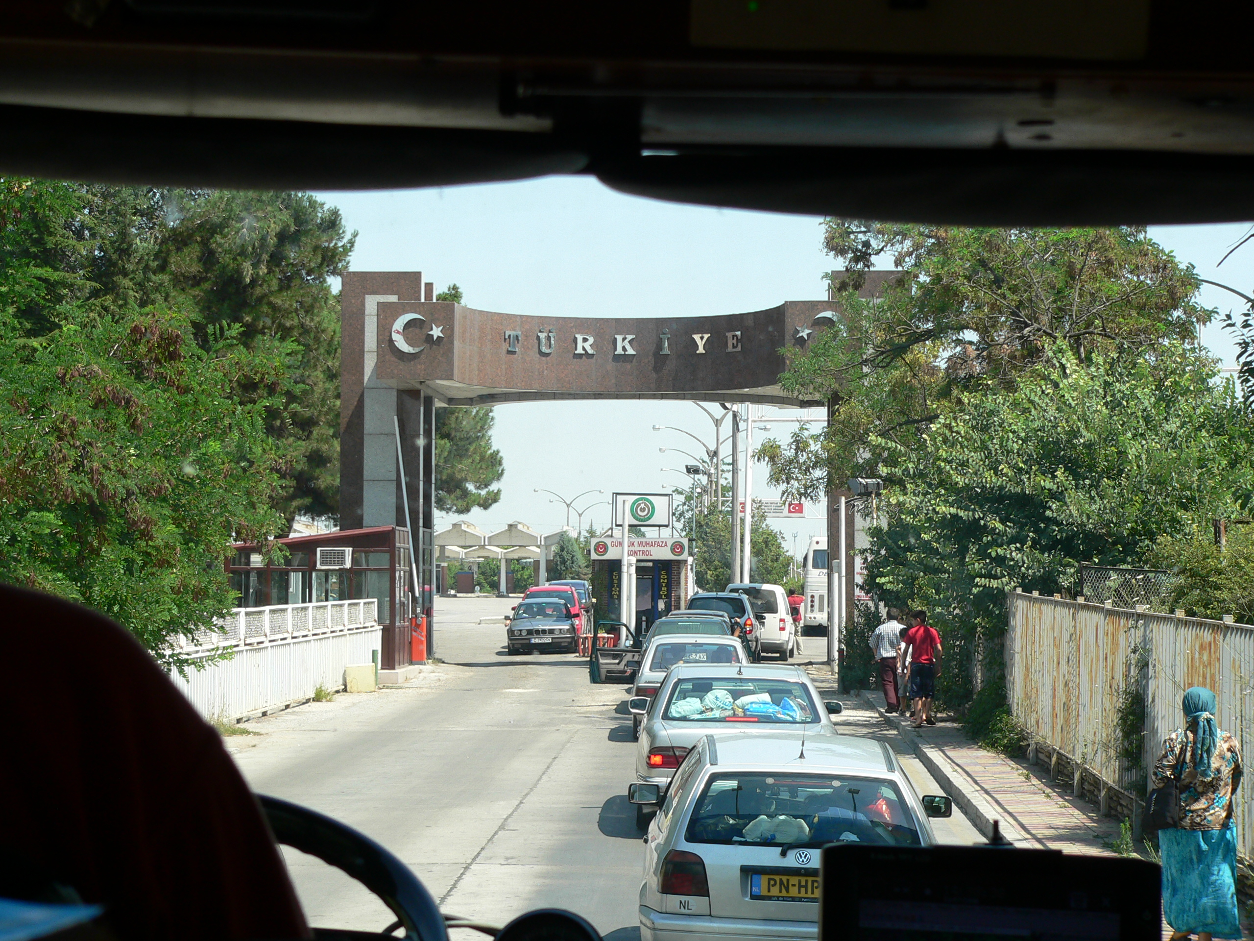
Edirne-Çoban

Coffee? :)

Ardas River

Bulgaria 2014

Bulgaria 2014
Calm reflection
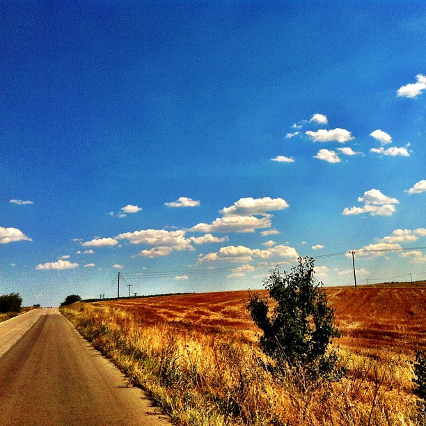
End of August
Topographic Map of Orestiada, Greece
Find elevation by address:

Places in Orestiada, Greece:
Places near Orestiada, Greece:
Trigono
Orestiada
Ptelea
Epar.Od. Kiprinou - Dikeon 5, Ptelea 07, Greece
Patriarchou Grigoriou, Orestiada 00, Greece
Orestias
Edirne
Edirne Orduevi
Selimiye Mosque
Didymoteicho
Edirne Merkez
Trakya Universitesi Tip Fakultesi
İskender Köyü
5, Oreshino, Bulgaria
Dolno Lukovo
Kondovo
Evros
Edirne
Manastir
Haskovo Province
Recent Searches:
- Elevation of Warwick, RI, USA
- Elevation of Fern Rd, Whitmore, CA, USA
- Elevation of 62 Abbey St, Marshfield, MA, USA
- Elevation of Fernwood, Bradenton, FL, USA
- Elevation of Felindre, Swansea SA5 7LU, UK
- Elevation of Leyte Industrial Development Estate, Isabel, Leyte, Philippines
- Elevation of W Granada St, Tampa, FL, USA
- Elevation of Pykes Down, Ivybridge PL21 0BY, UK
- Elevation of Jalan Senandin, Lutong, Miri, Sarawak, Malaysia
- Elevation of Bilohirs'k