Elevation of Orderville, UT, USA
Location: United States > Utah > Kane County >
Longitude: -112.63771
Latitude: 37.2758168
Elevation: 1665m / 5463feet
Barometric Pressure: 83KPa
Elevation Map:
Satellite Map:
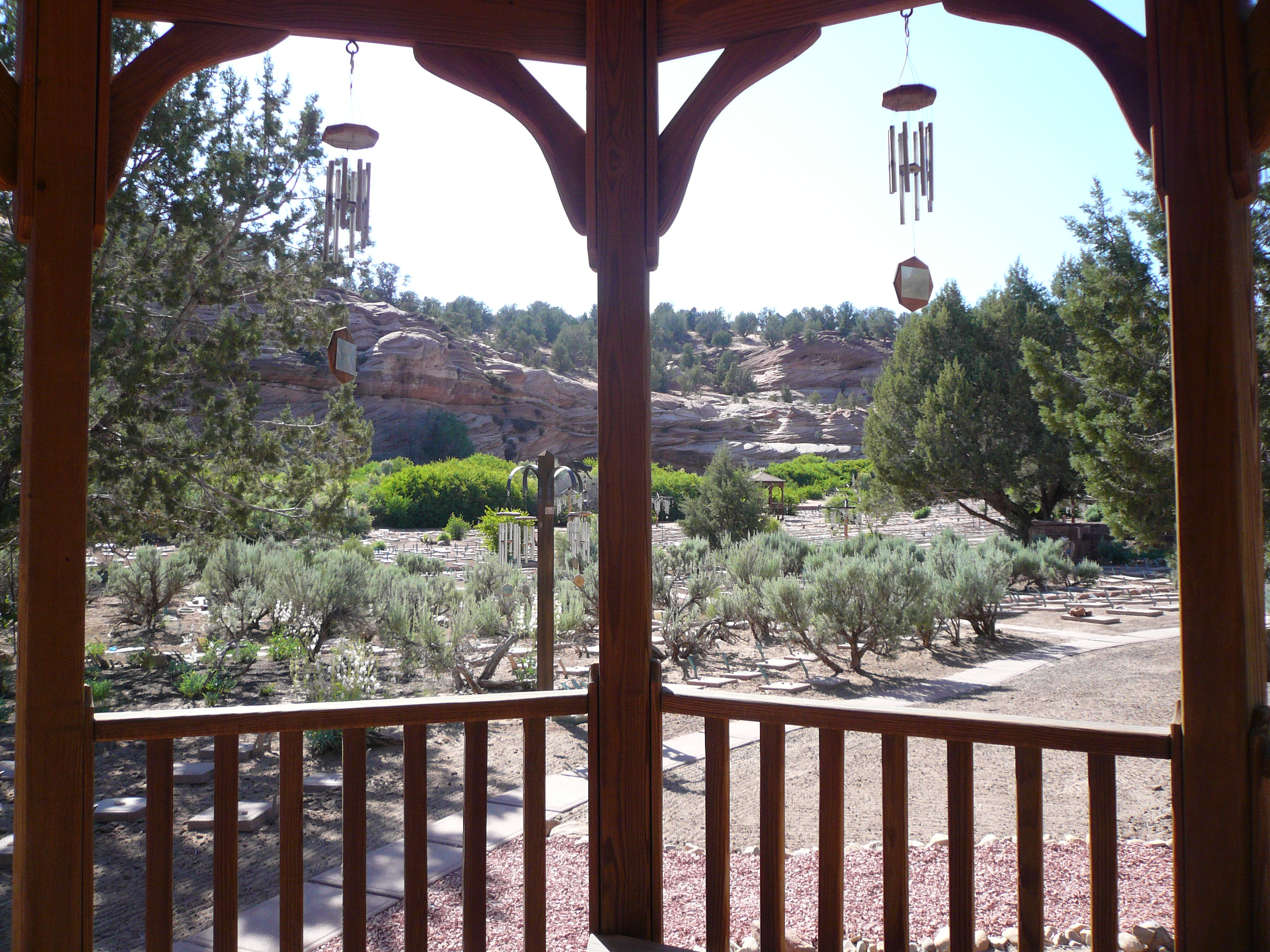
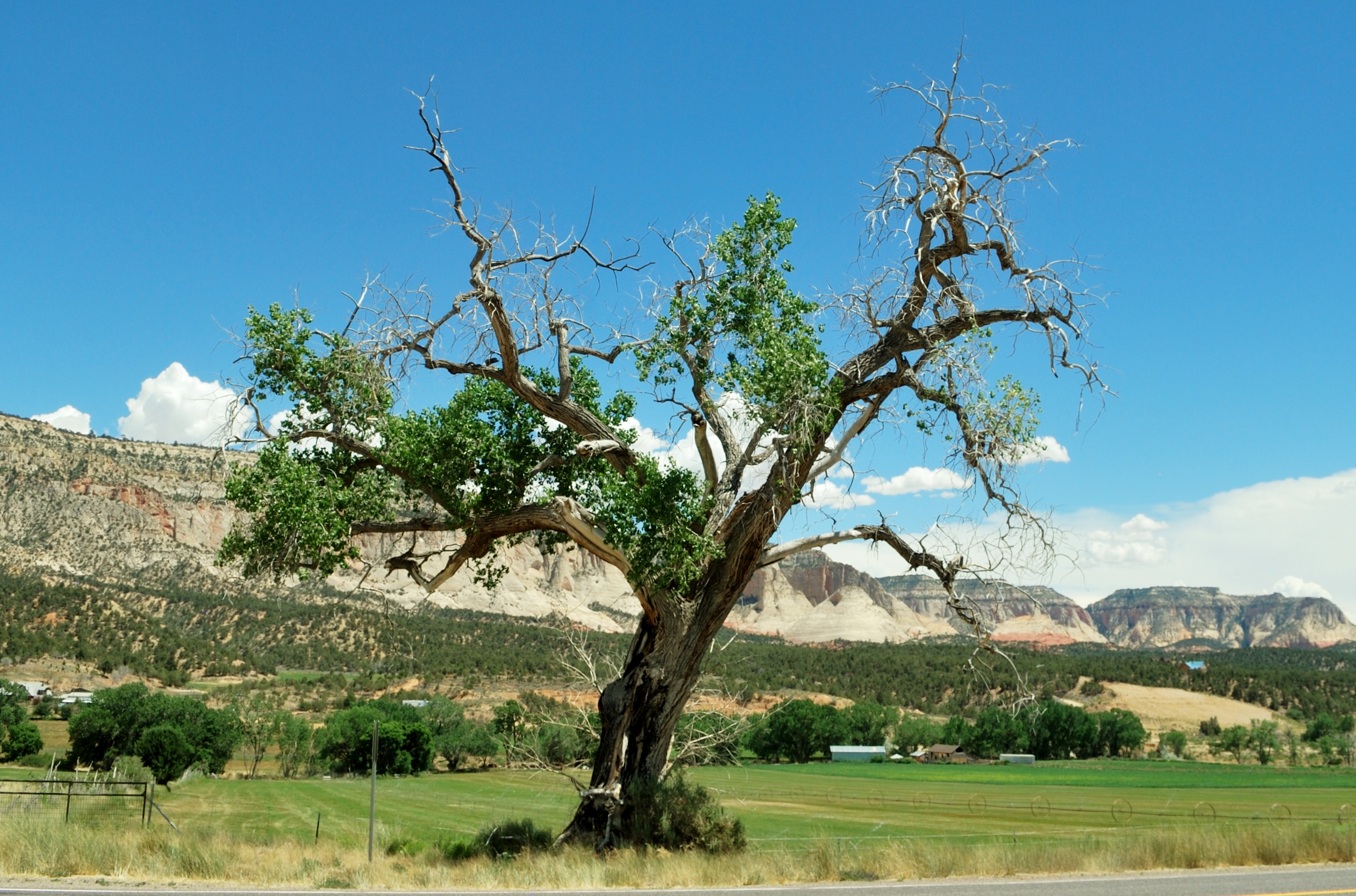
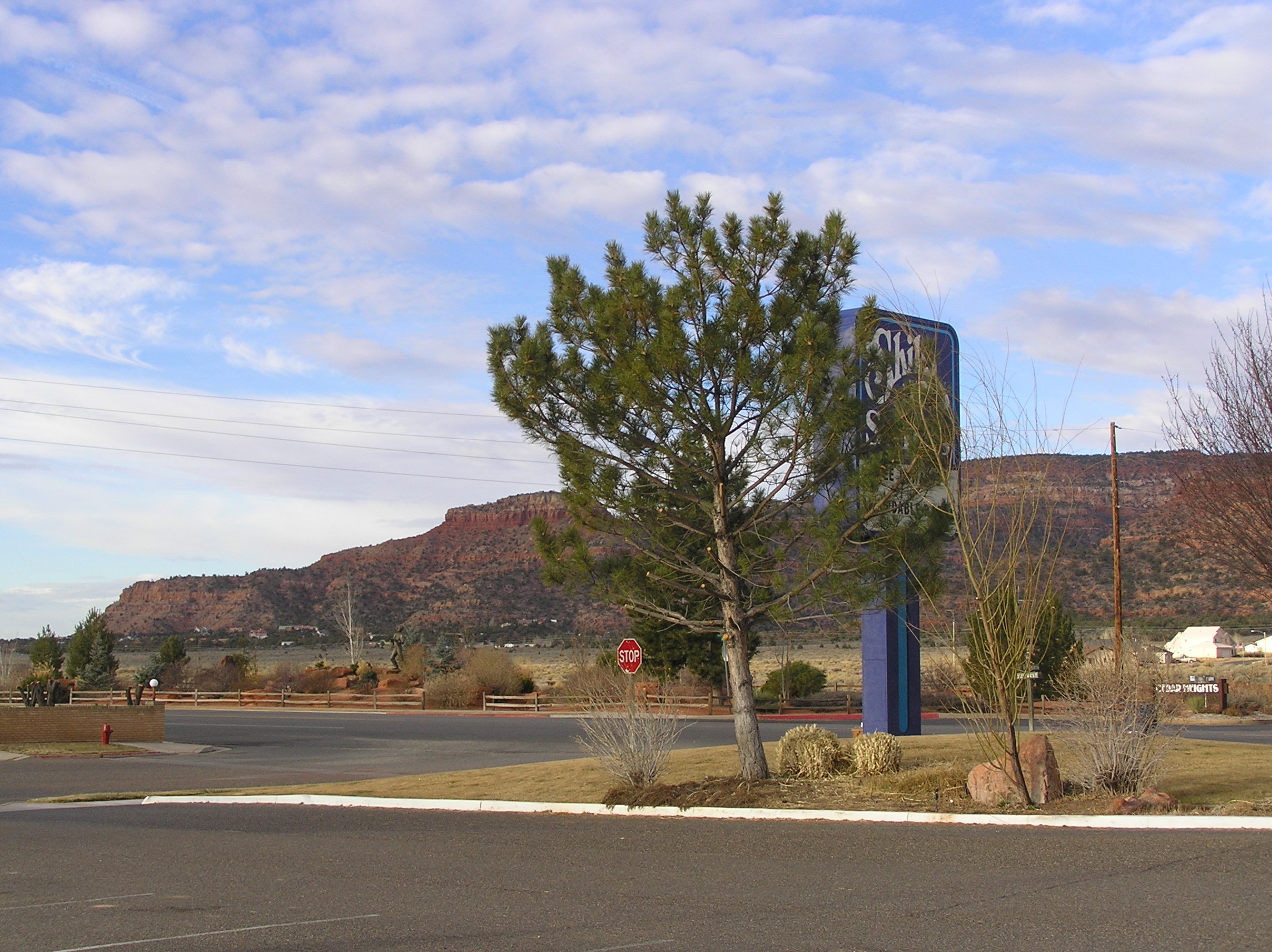
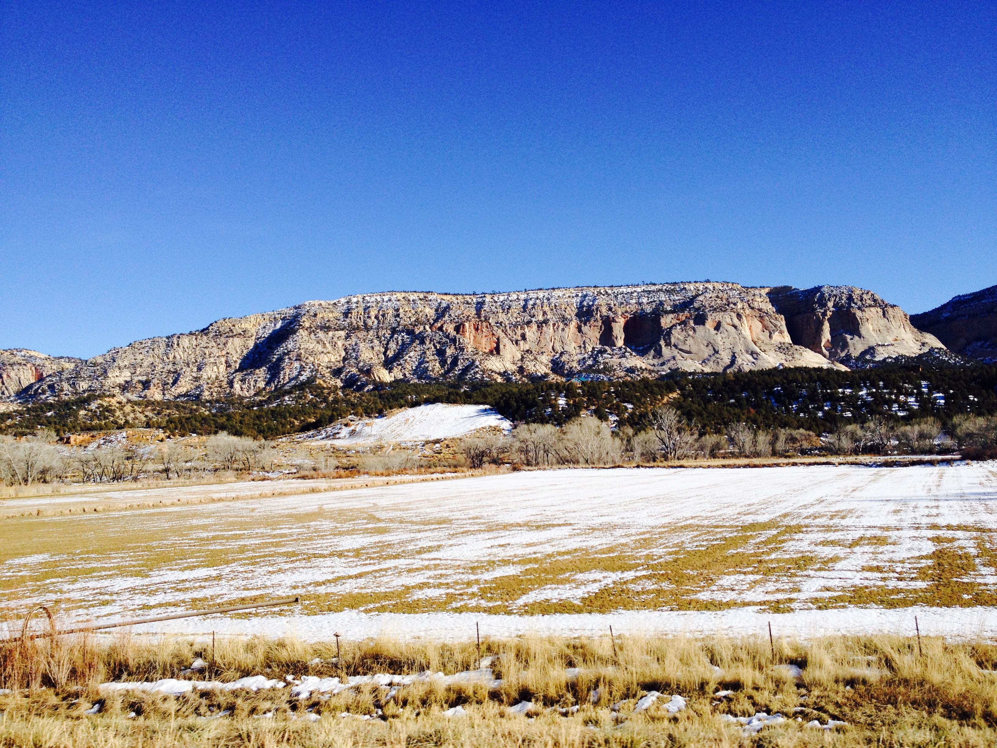
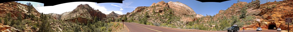
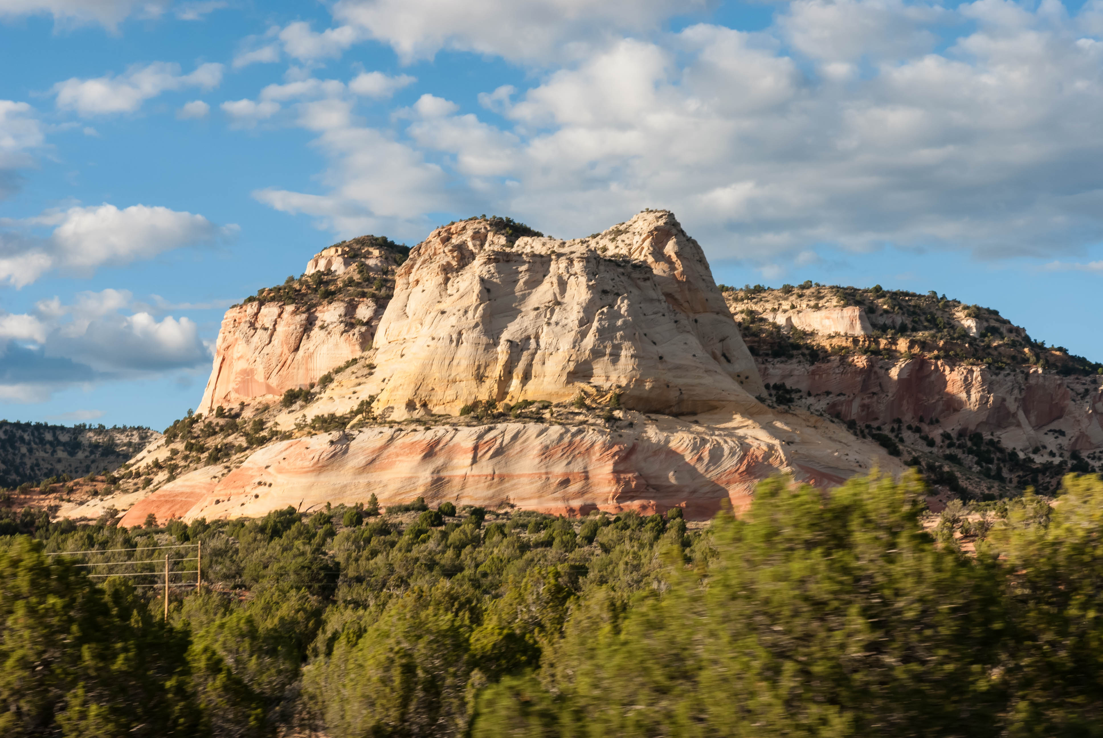
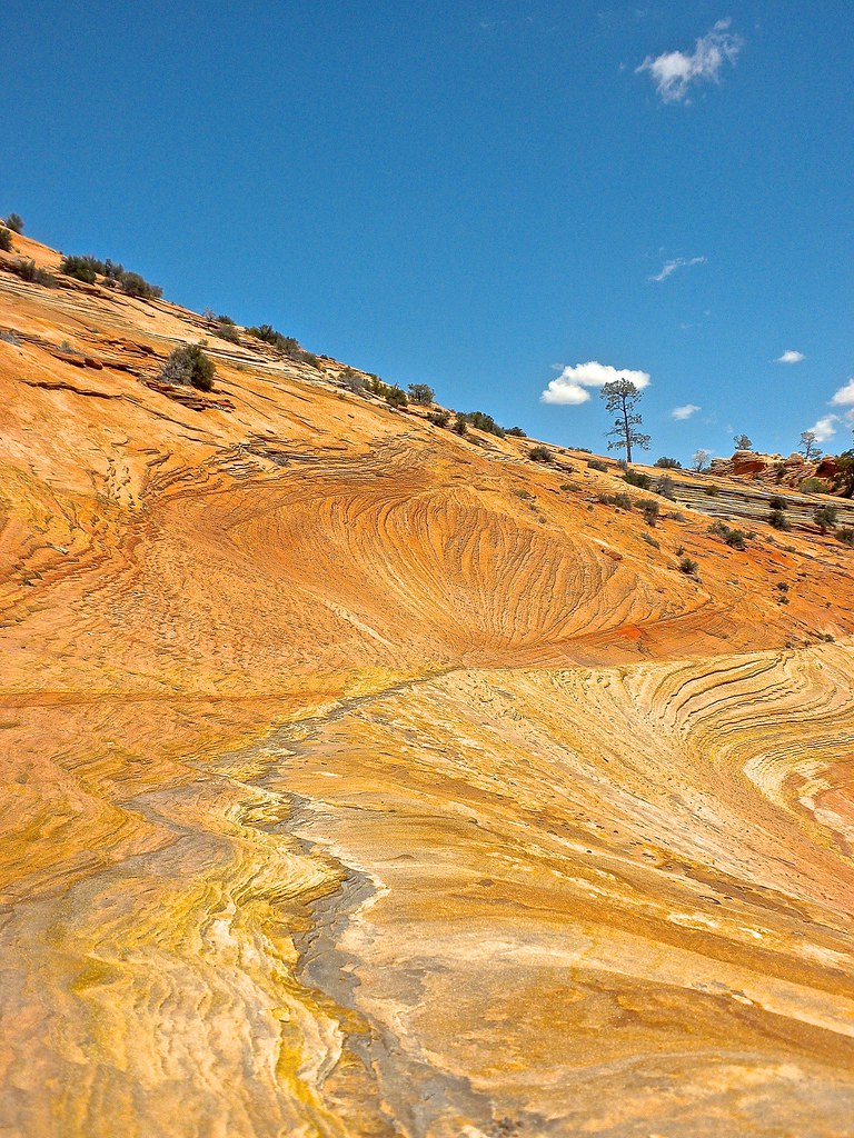
Related Photos:
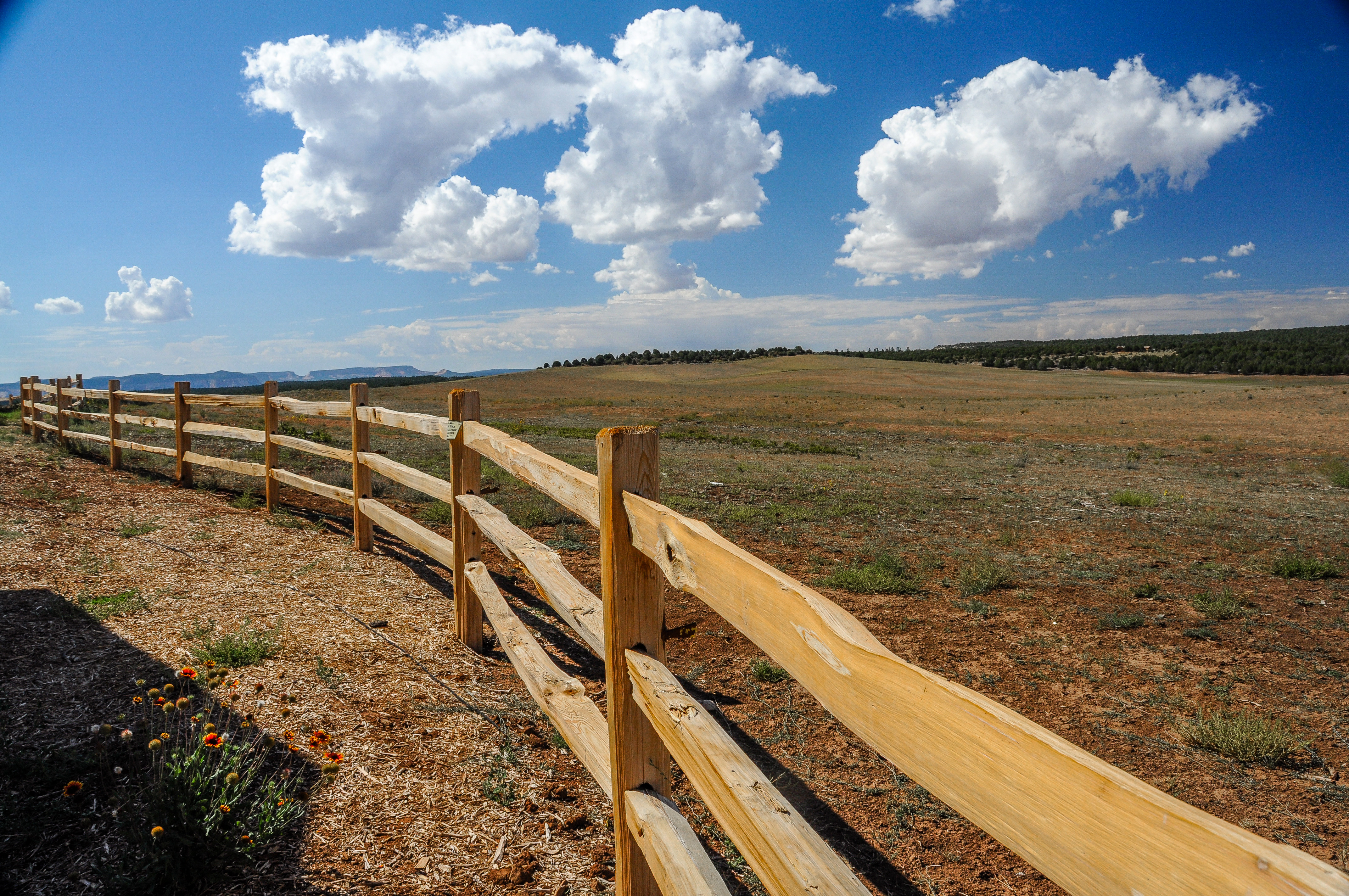
Oh Beautiful for Spacious Skies (HFF)

USA // Utah // Oldtimer Junkyard

Red Hollow Slot Canyon

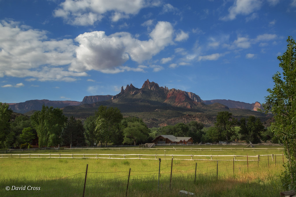
Glendale, Utah Panorama - Our View For The Next Week
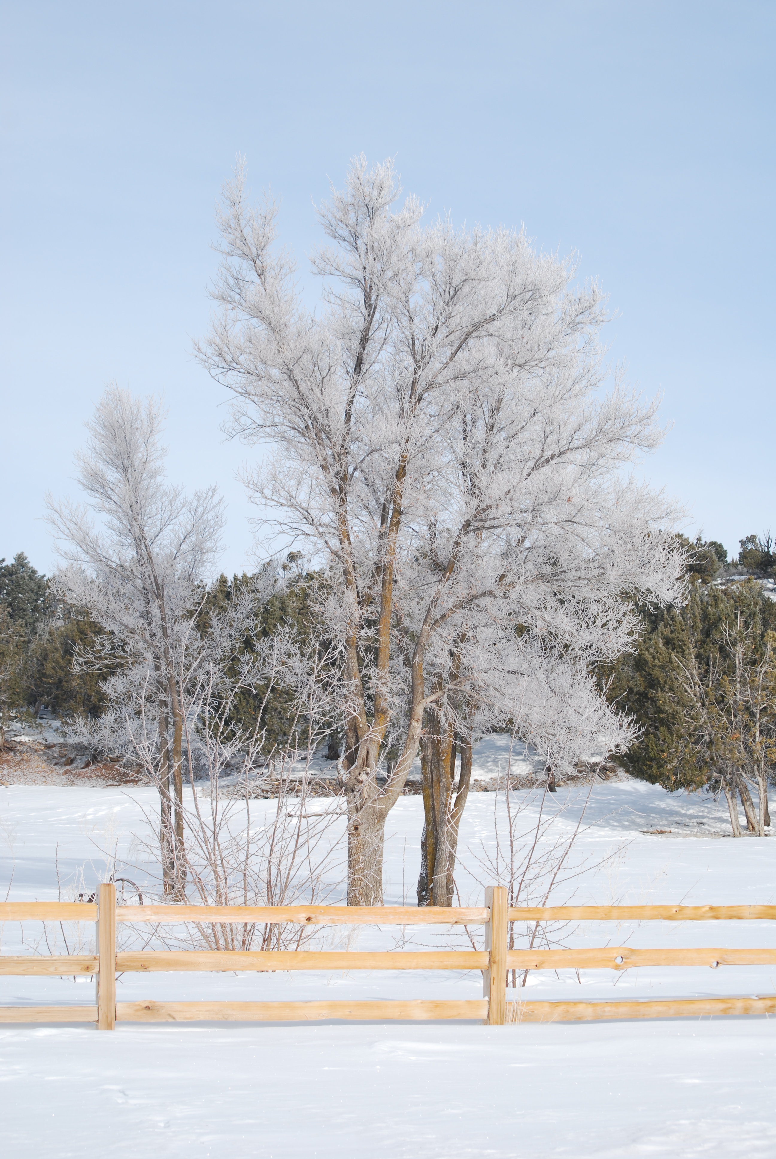
Frozen trees
View from the Long Valley cabin
IMAG2155.jpg
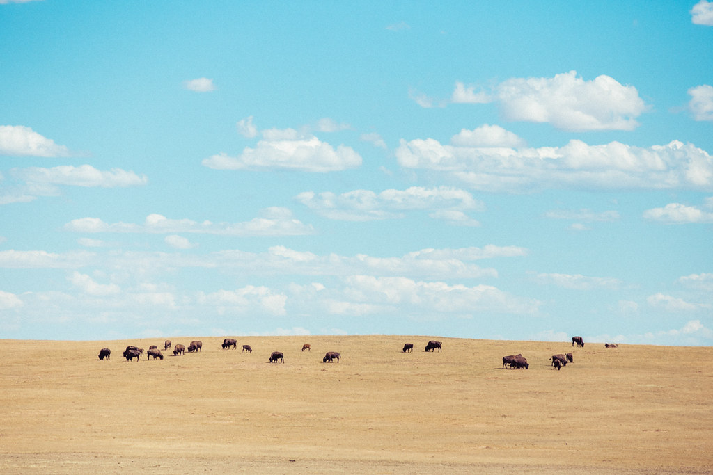
Where buffalo roam
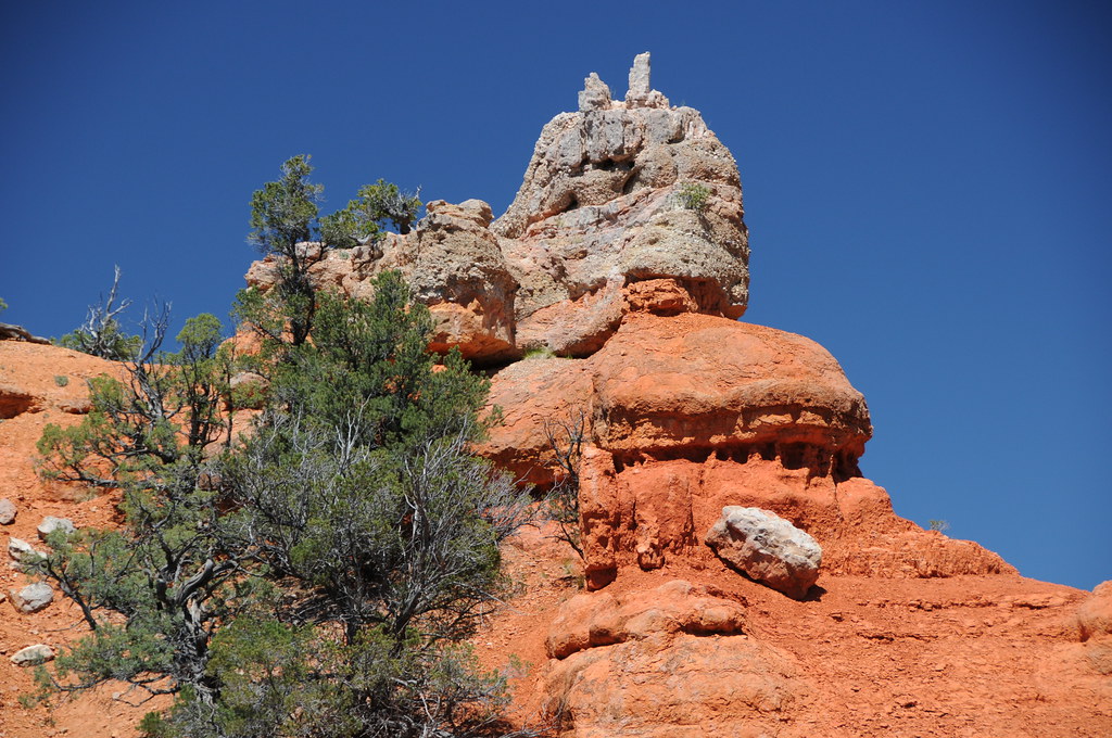
Dixie National Forest

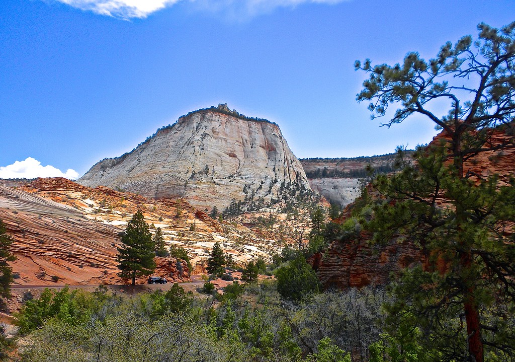
2007 30 mei Vakantie Zion National Park USA 0846.jpg
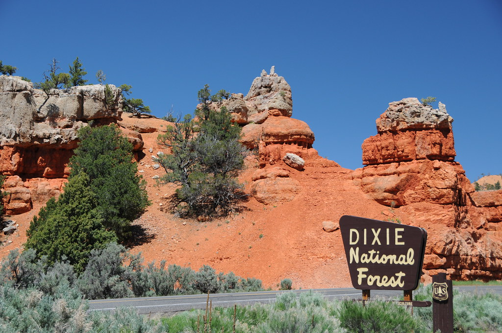
Dixie National Forest
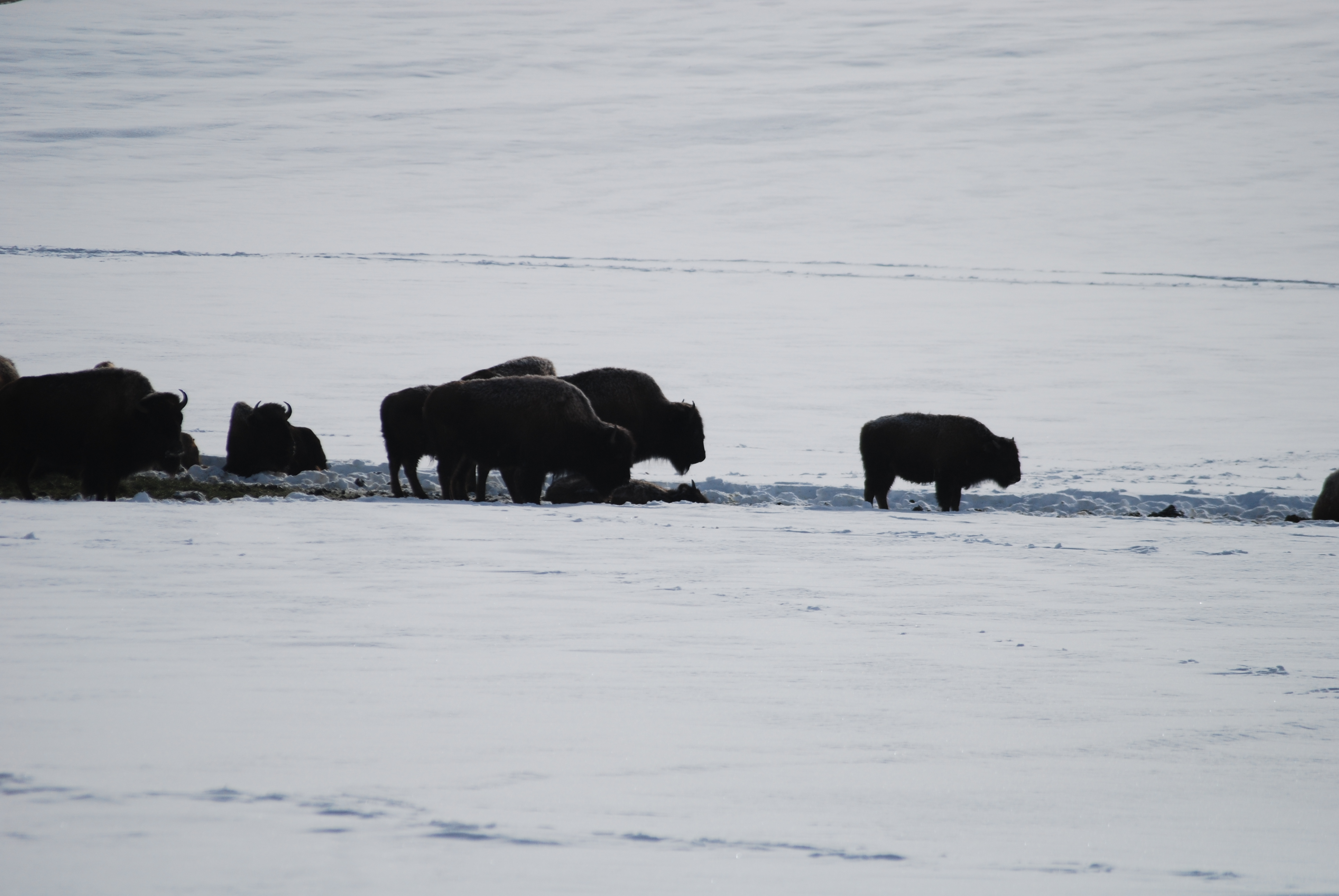
Winter Buffalo
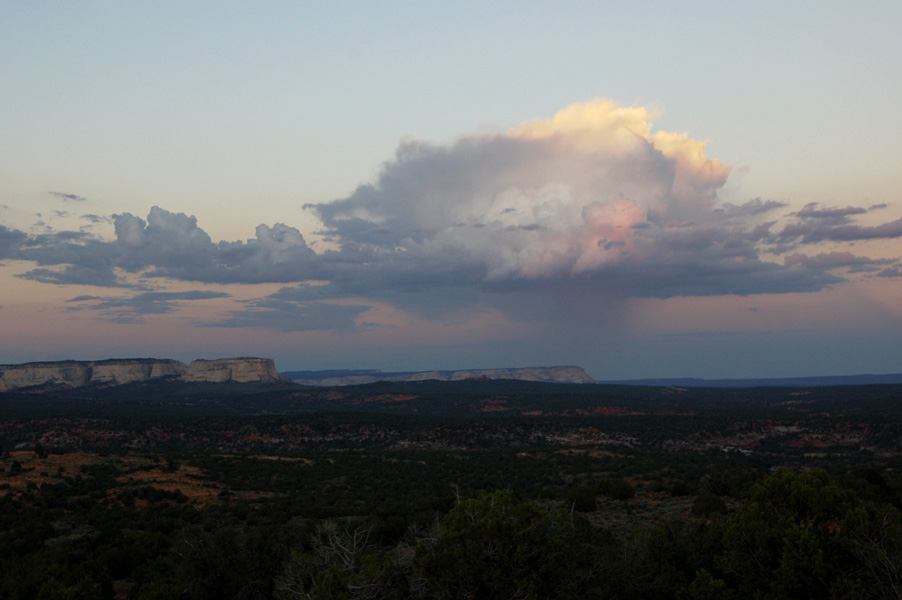
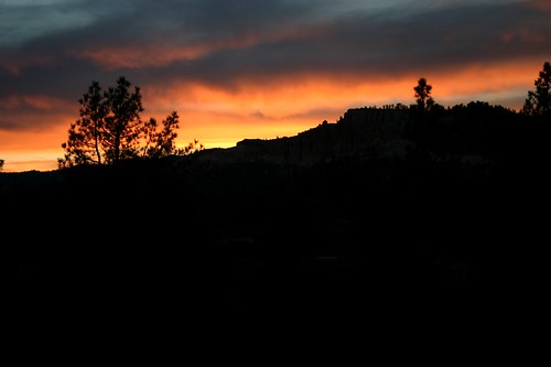
Desert Storm Cloud
Do They REALLY Mean That?

2007 30 mei Vakantie Zion National Park USA 0845.jpg

2007 30 mei Vakantie Zion National Park USA 0848.jpg
View at the Buffalo Grill, UT
Orderville Utah - LDS Meetinhouse - View #1
P1040710.JPG
Perfect Tree 2014
PC010002.JPG
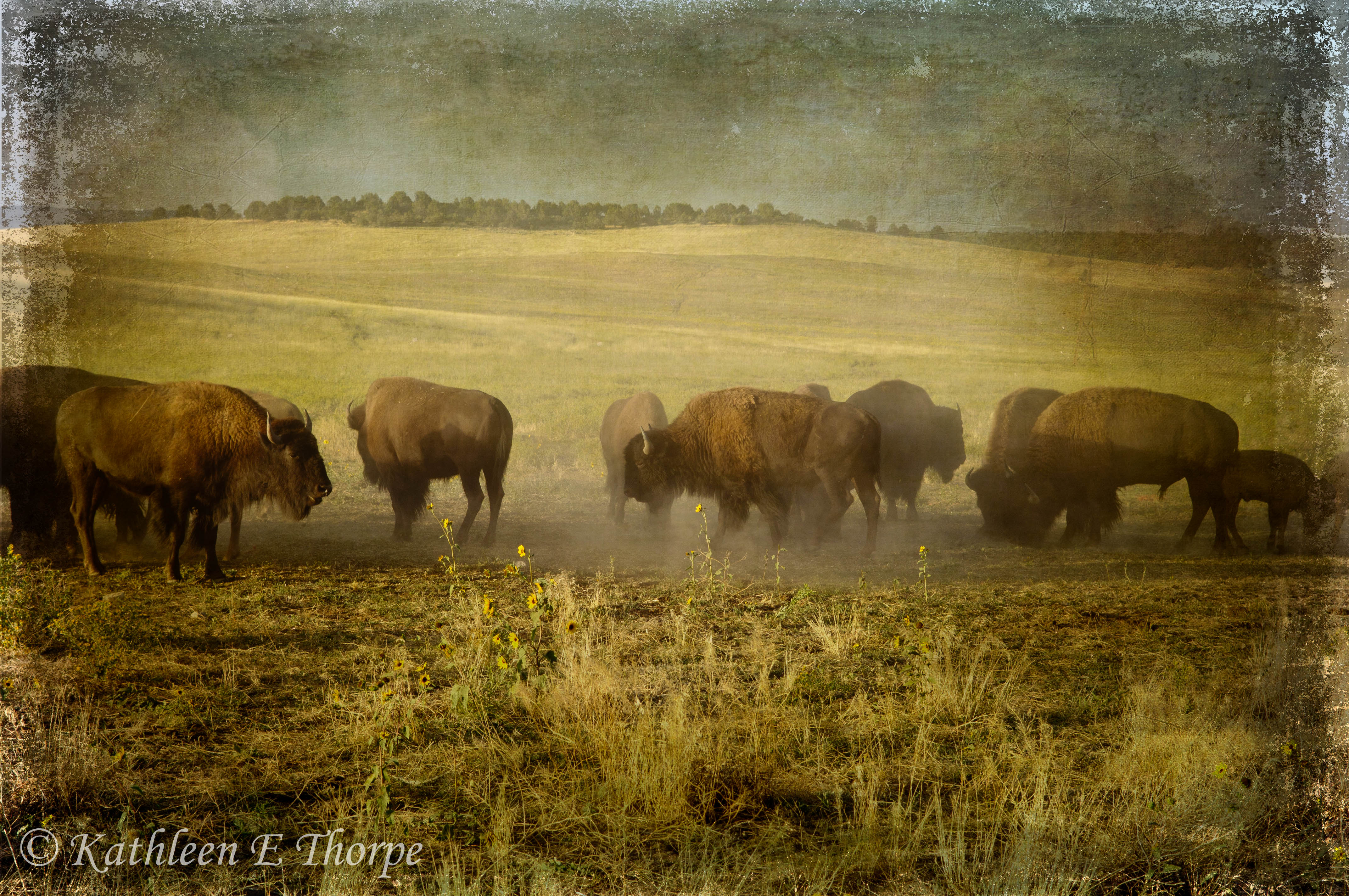
Zion Buffalo Herd - Lenabem Texture
Zion ranch
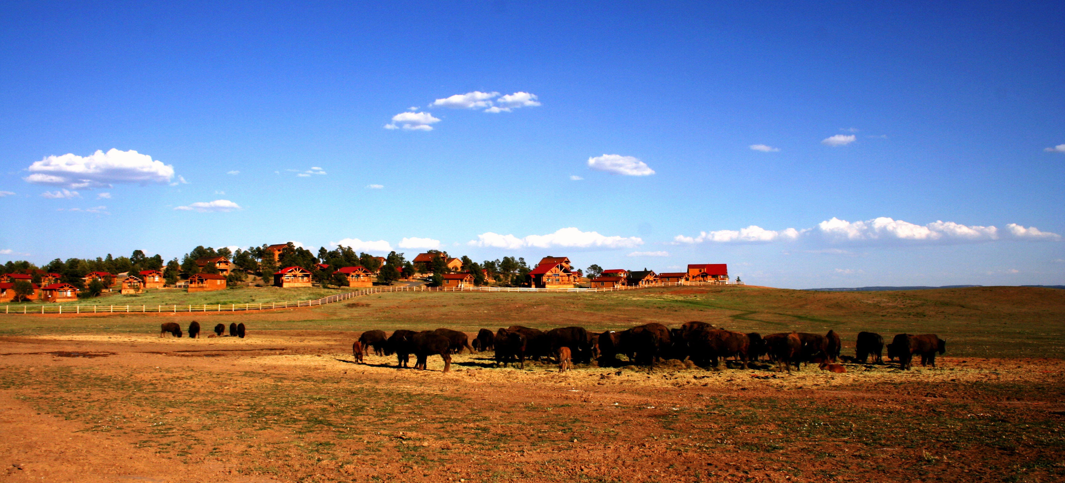
Bison herd and log cabins at Zion Mountain Ranch in between Zion NP and Kanab, UT, taken in 2008 on our way to Lake Powell. Truly in the middle of nowhere!

Zion-2
Checkerboard Messa

IMG_1845.jpg
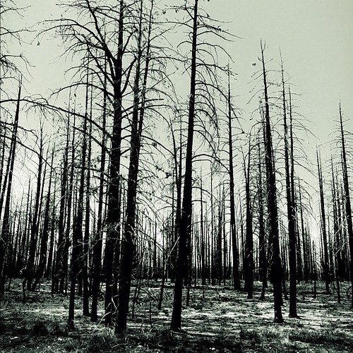
Several hundred acres of forest destroyed by fire in 2009. The trees look as if it happened yesterday. Silver B&W filter gave it an eerie appearance.
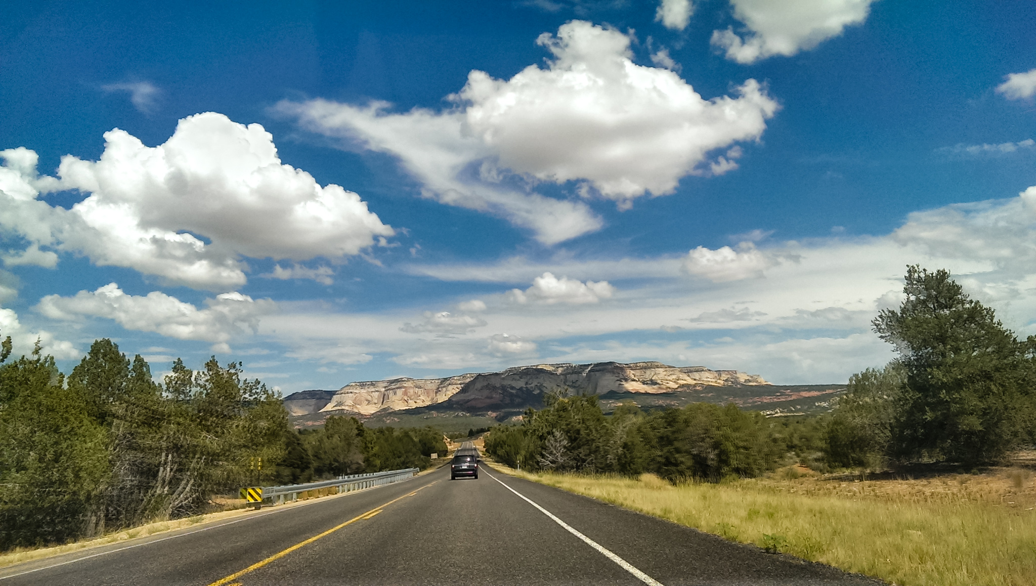
Route 9

DSC_7519.JPG
Scenic drive tunnel
auf dem Weg nach Springdale

We're on a road to nowhere...

IMG_2002.jpg

IMG_2124 (1).jpg

Aspen grove along US89

IMG_1997.jpg
Layers upon layers
Topographic Map of Orderville, UT, USA
Find elevation by address:

Places in Orderville, UT, USA:
Places near Orderville, UT, USA:
Mount Carmel
Mystic River Estates
Glendale
8cc2+wq
Mount Carmel Junction
68f9+77
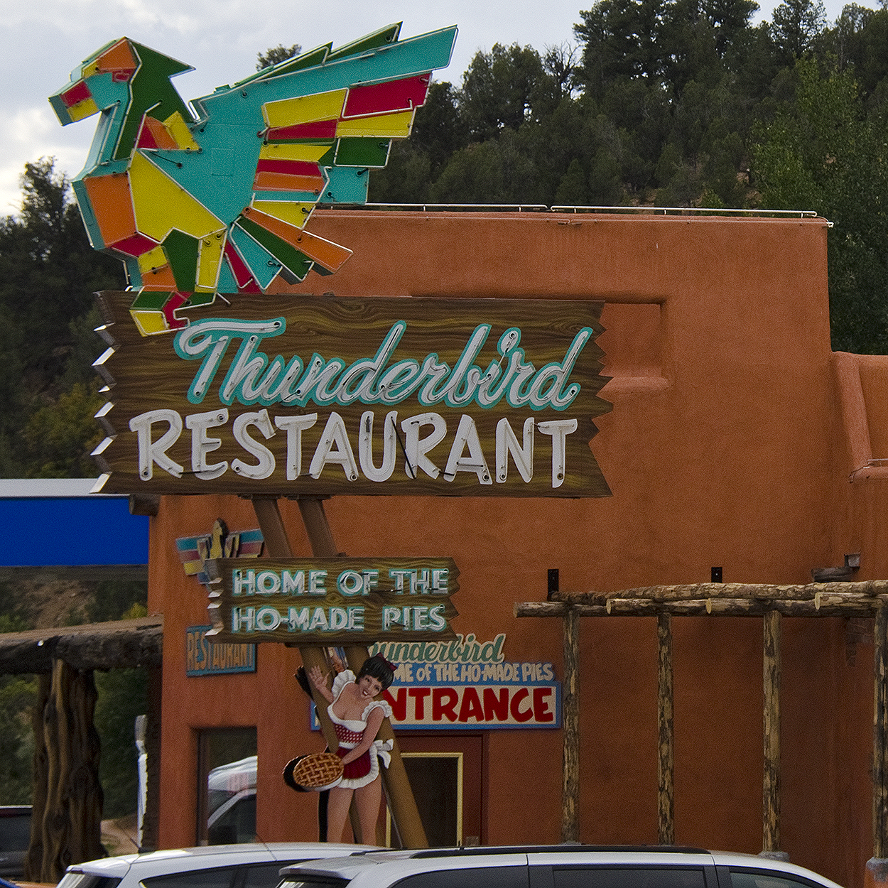
Best Western East Zion Thunderbird Lodge
Highway 89
Highway 89
Bryce Zion Campground
Utah 9
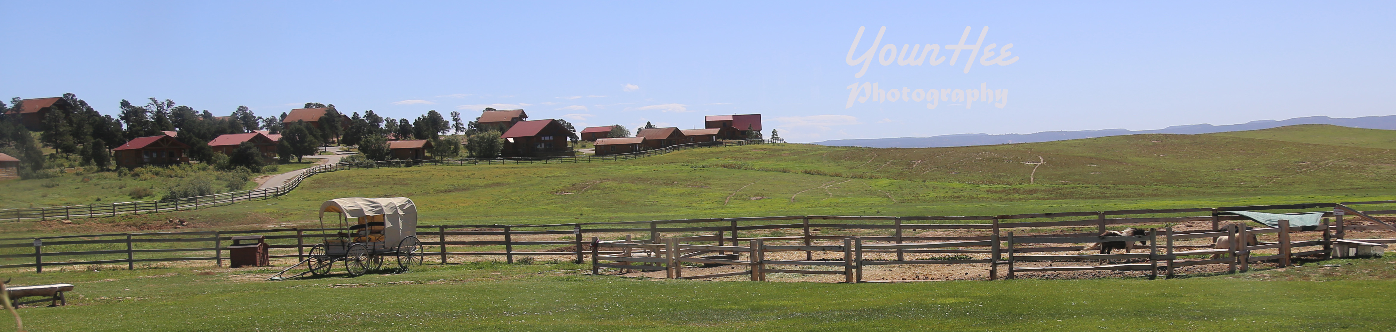
Zion Mountain Ranch
150 Apache Trail
Swains Creek Airport-ut00
1640 Strawberry Creek Dr
Duck Creek Ridge Road
Uinta Flat Designated Dispersed Camping Area
Zion Ponderosa Ranch Resort
Duck Creek Village, UT, USA
1351 Elkridge Dr
Recent Searches:
- Elevation of Luther Road, Luther Rd, Auburn, CA, USA
- Elevation of Unnamed Road, Respublika Severnaya Osetiya — Alaniya, Russia
- Elevation of Verkhny Fiagdon, North Ossetia–Alania Republic, Russia
- Elevation of F. Viola Hiway, San Rafael, Bulacan, Philippines
- Elevation of Herbage Dr, Gulfport, MS, USA
- Elevation of Lilac Cir, Haldimand, ON N3W 2G9, Canada
- Elevation of Harrod Branch Road, Harrod Branch Rd, Kentucky, USA
- Elevation of Wyndham Grand Barbados Sam Lords Castle All Inclusive Resort, End of Belair Road, Long Bay, Bridgetown Barbados
- Elevation of Iga Trl, Maggie Valley, NC, USA
- Elevation of N Co Rd 31D, Loveland, CO, USA