Elevation map of Orangeburg County, SC, USA
Location: United States > South Carolina >
Longitude: -81.075465
Latitude: 33.5635155
Elevation: 78m / 256feet
Barometric Pressure: 100KPa
Elevation Map:
Satellite Map:
Related Photos:

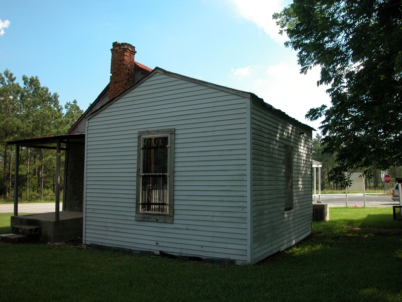
Norway Rd House
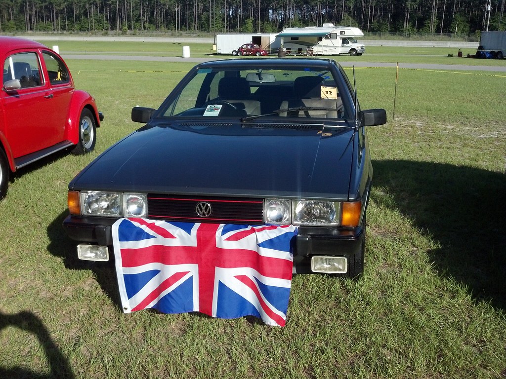
The Brit

Movie Poster

View Out of Aircraft Window
DSCN1450.JPG
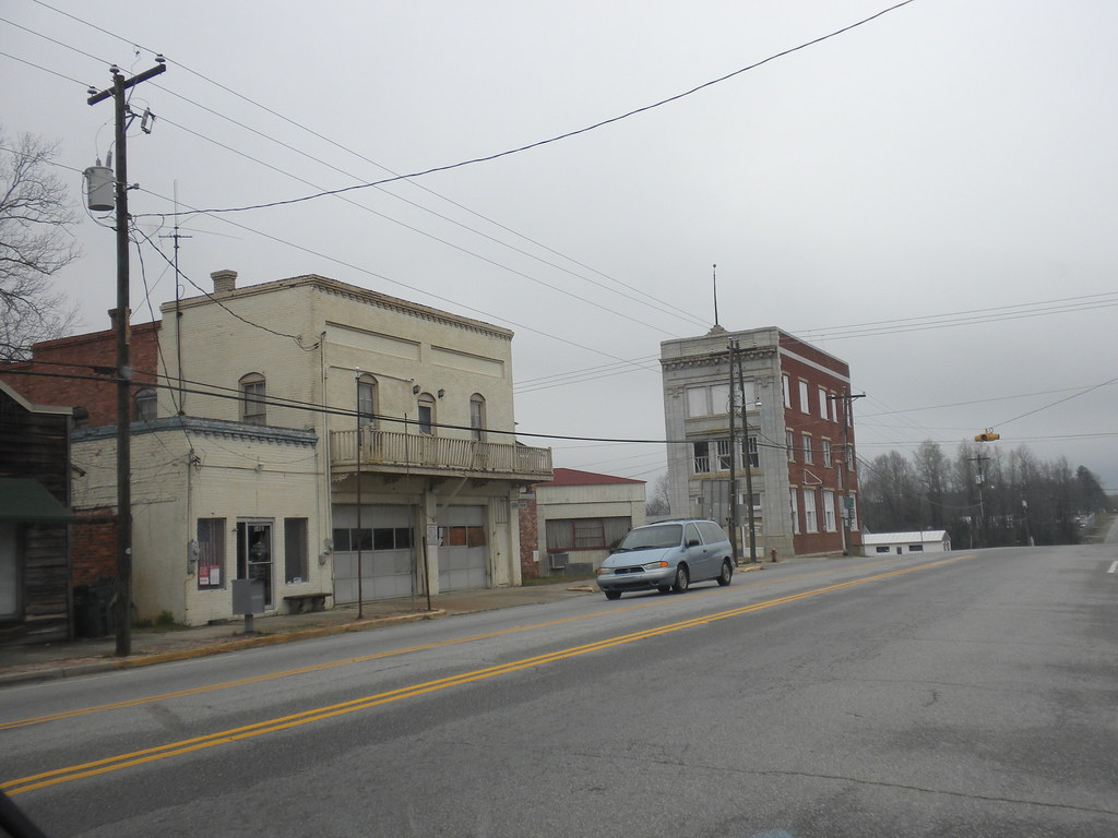
skyscraper, Norway SC

DSCN1449.JPG
DSCN1447.JPG

DSCN1451.JPG
DSCN1453.JPG
Slab Landing

21DEC11: Globemaster III over Bull Swamp

Great Branch Opening01
Topographic Map of Orangeburg County, SC, USA
Find elevation by address:

Places in Orangeburg County, SC, USA:
Places near Orangeburg County, SC, USA:
Neeses
North
210 Gun Shop Rd
North Fork Edisto River
Norway
101 Pandanus Rd
1144 Woodford Rd
1727 Ninety 6 Rd
Swansea
1 Creek Aly, Norway, SC, USA
222 Lost Valley Dr
Cope
Landing Way
Broad Street
Orangeburg
Cherokee St SW, Orangeburg, SC, USA
South Carolina State University
1 Oc, Orangeburg, SC, USA
50 Springs Ct, Blackville, SC, USA
Rosehaven Ln, Orangeburg, SC, USA
Recent Searches:
- Elevation of Felindre, Swansea SA5 7LU, UK
- Elevation of Leyte Industrial Development Estate, Isabel, Leyte, Philippines
- Elevation of W Granada St, Tampa, FL, USA
- Elevation of Pykes Down, Ivybridge PL21 0BY, UK
- Elevation of Jalan Senandin, Lutong, Miri, Sarawak, Malaysia
- Elevation of Bilohirs'k
- Elevation of 30 Oak Lawn Dr, Barkhamsted, CT, USA
- Elevation of Luther Road, Luther Rd, Auburn, CA, USA
- Elevation of Unnamed Road, Respublika Severnaya Osetiya — Alaniya, Russia
- Elevation of Verkhny Fiagdon, North Ossetia–Alania Republic, Russia