Elevation map of Orange Walk District, Belize
Location: Belize >
Longitude: -88.864698
Latitude: 17.760353
Elevation: 9m / 30feet
Barometric Pressure: 101KPa
Elevation Map:
Satellite Map:
Related Photos:

La union

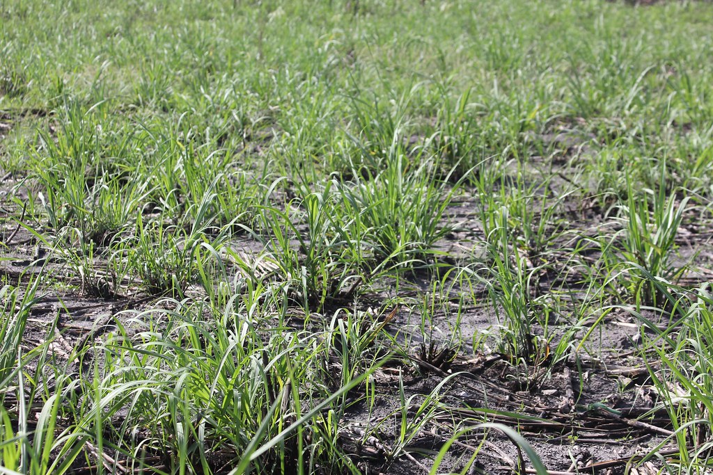
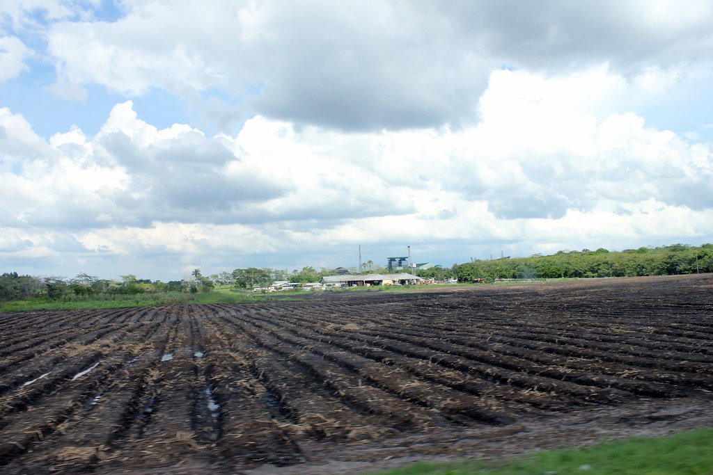
Sugar Cane Field
Sugar Cane Field
Sugar Cane Field

Sugar Cane Field

Sugar Cane Field

Sugar Cane Field

Sugar Cane Field

Sugar Cane Field

Sugar Cane Field

Sugar Cane Field

Sugar Cane Field

Sugar Cane Field
Topographic Map of Orange Walk District, Belize
Find elevation by address:

Places near Orange Walk District, Belize:
Ucum - Unión, Quintana Roo, Mexico
Lamanai Archaeological Reserve
Chan Chich Lodge
Belmopan
Mount Hope
Ian Anderson's Caves Branch Jungle Lodge
Duplooy's
San Ignacio
Maya Vista Drive
Cayo District
Go-maya Belize Adventures
San Antonio
Gaia River Lodge
Tikal
Flores
Recent Searches:
- Elevation of Congressional Dr, Stevensville, MD, USA
- Elevation of Bellview Rd, McLean, VA, USA
- Elevation of Stage Island Rd, Chatham, MA, USA
- Elevation of Shibuya Scramble Crossing, 21 Udagawacho, Shibuya City, Tokyo -, Japan
- Elevation of Jadagoniai, Kaunas District Municipality, Lithuania
- Elevation of Pagonija rock, Kranto 7-oji g. 8"N, Kaunas, Lithuania
- Elevation of Co Rd 87, Jamestown, CO, USA
- Elevation of Tenjo, Cundinamarca, Colombia
- Elevation of Côte-des-Neiges, Montreal, QC H4A 3J6, Canada
- Elevation of Bobcat Dr, Helena, MT, USA