Elevation of OR-66, Ashland, OR, USA
Location: United States > Oregon > Jackson County > Ashland >
Longitude: -122.46420
Latitude: 42.1227031
Elevation: 1381m / 4531feet
Barometric Pressure: 86KPa
Elevation Map:
Satellite Map:
Related Photos:

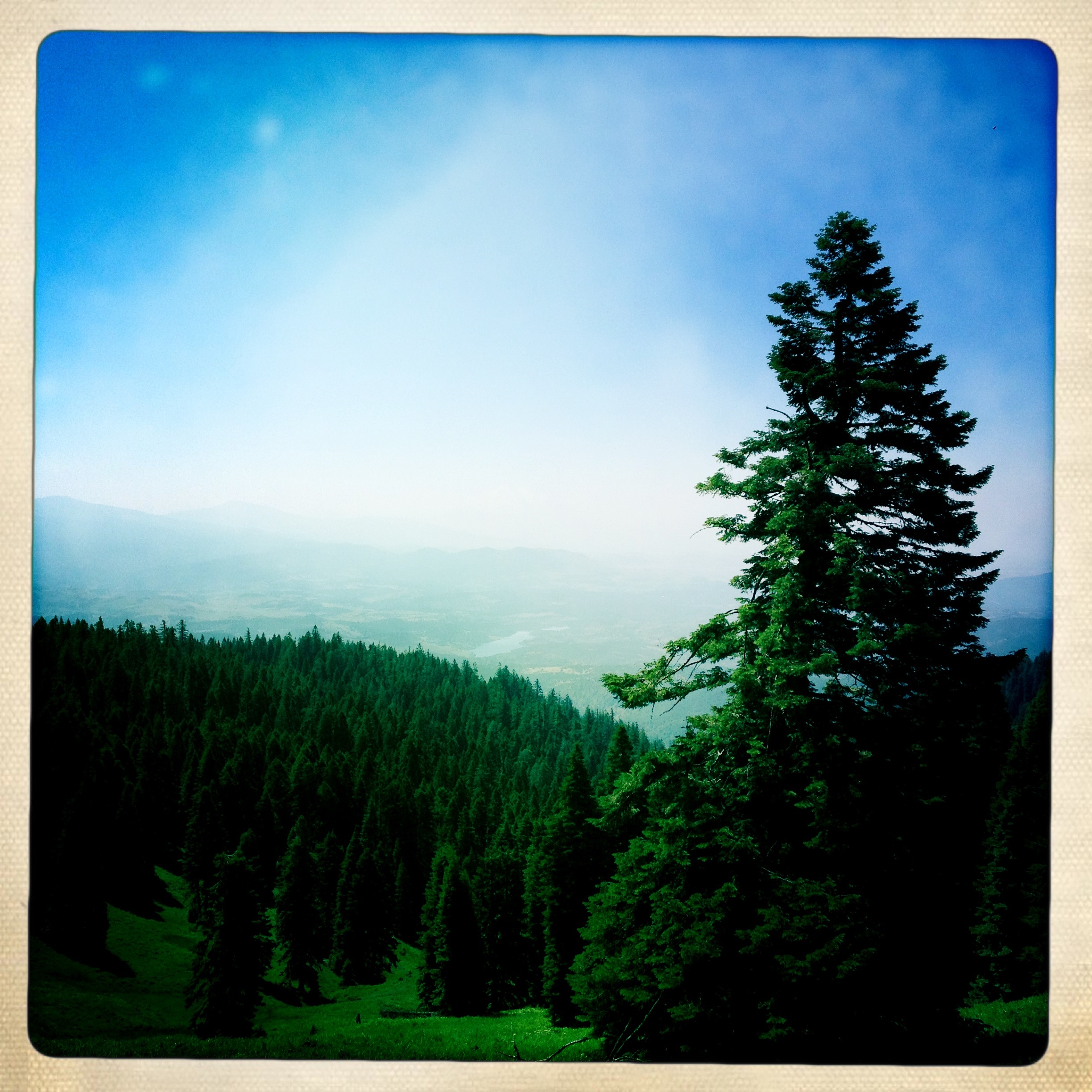
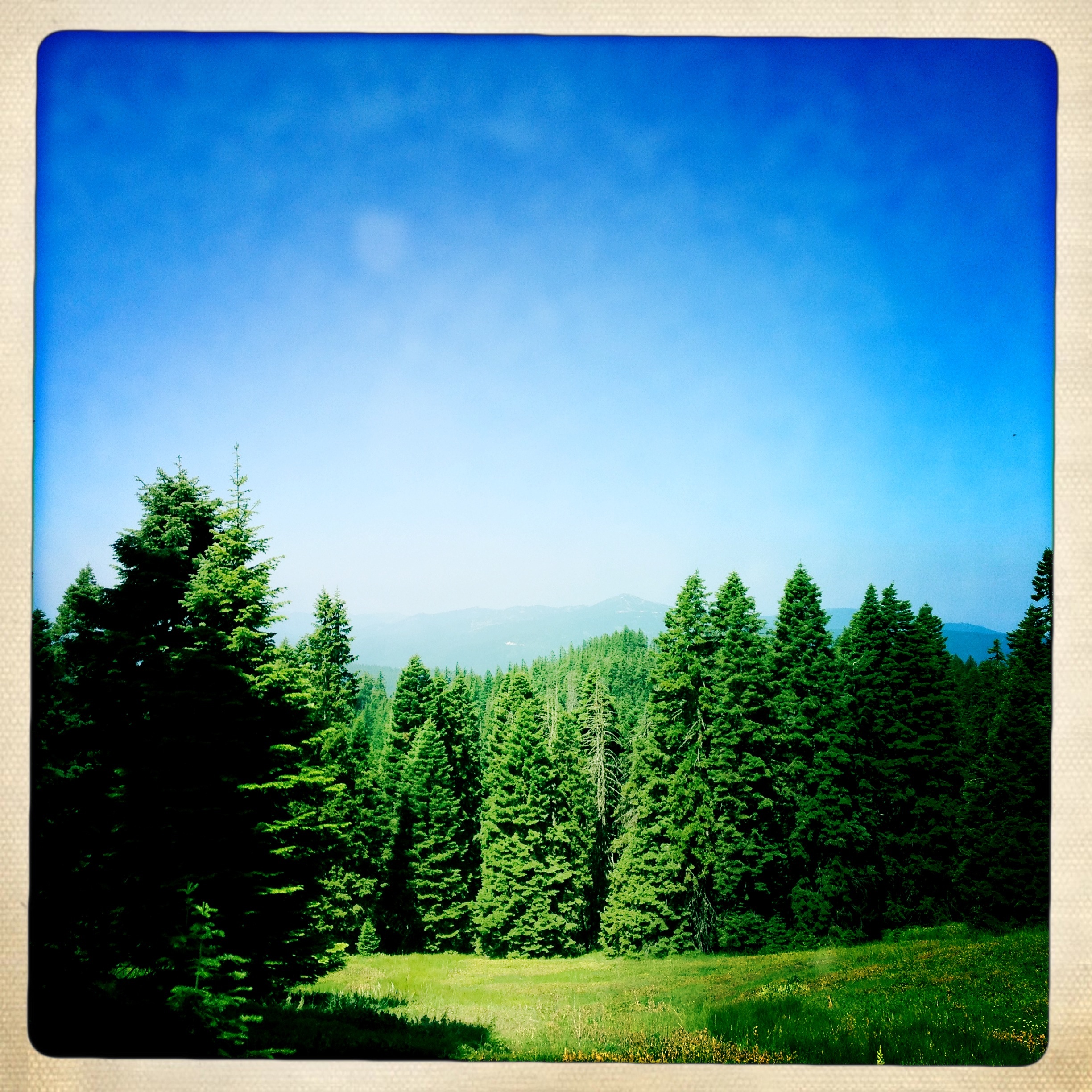
Mount McLoughlin
Oregon!
Boccard Point
Boccard Point
View From Boccard
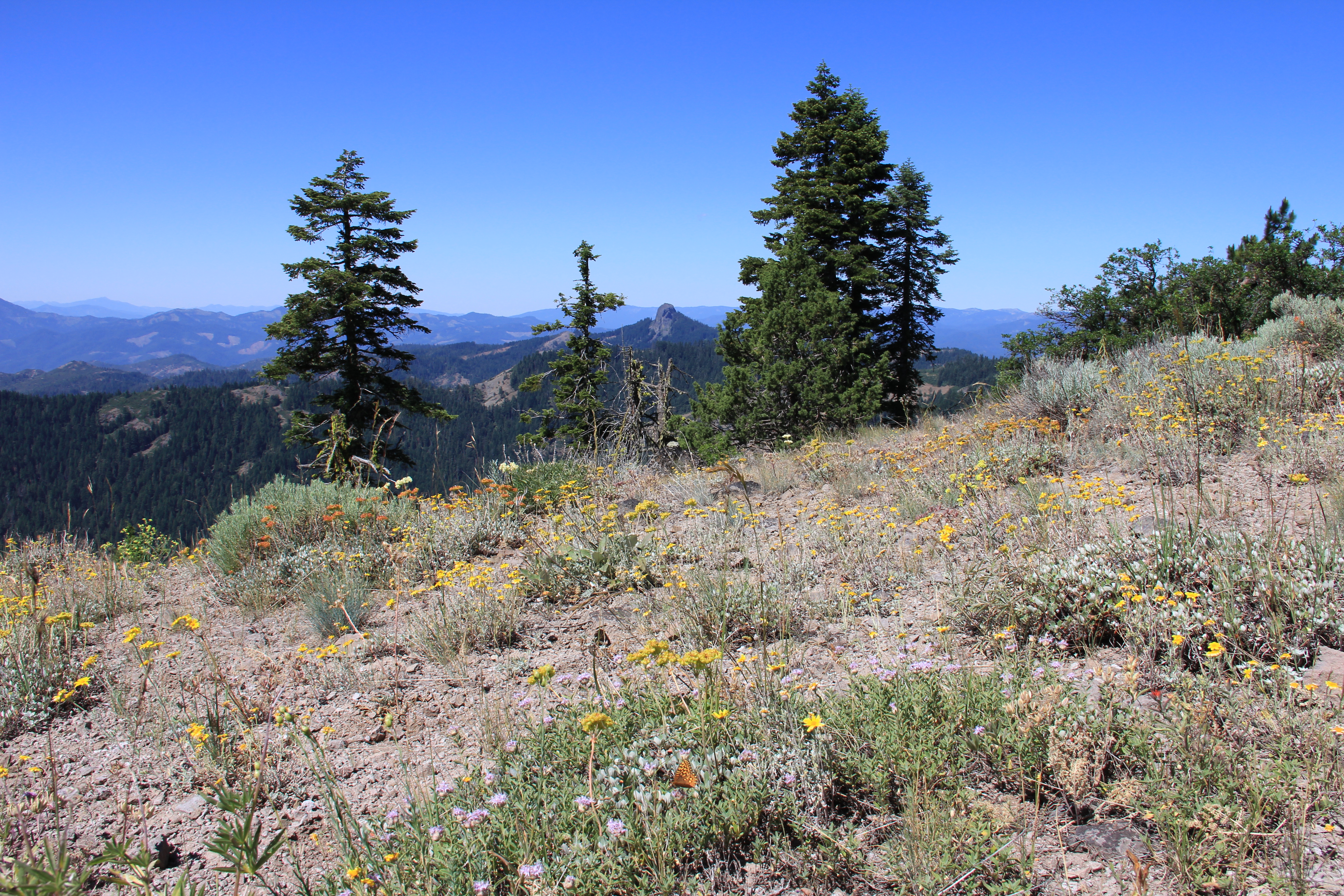
Last view of Pilot Rock

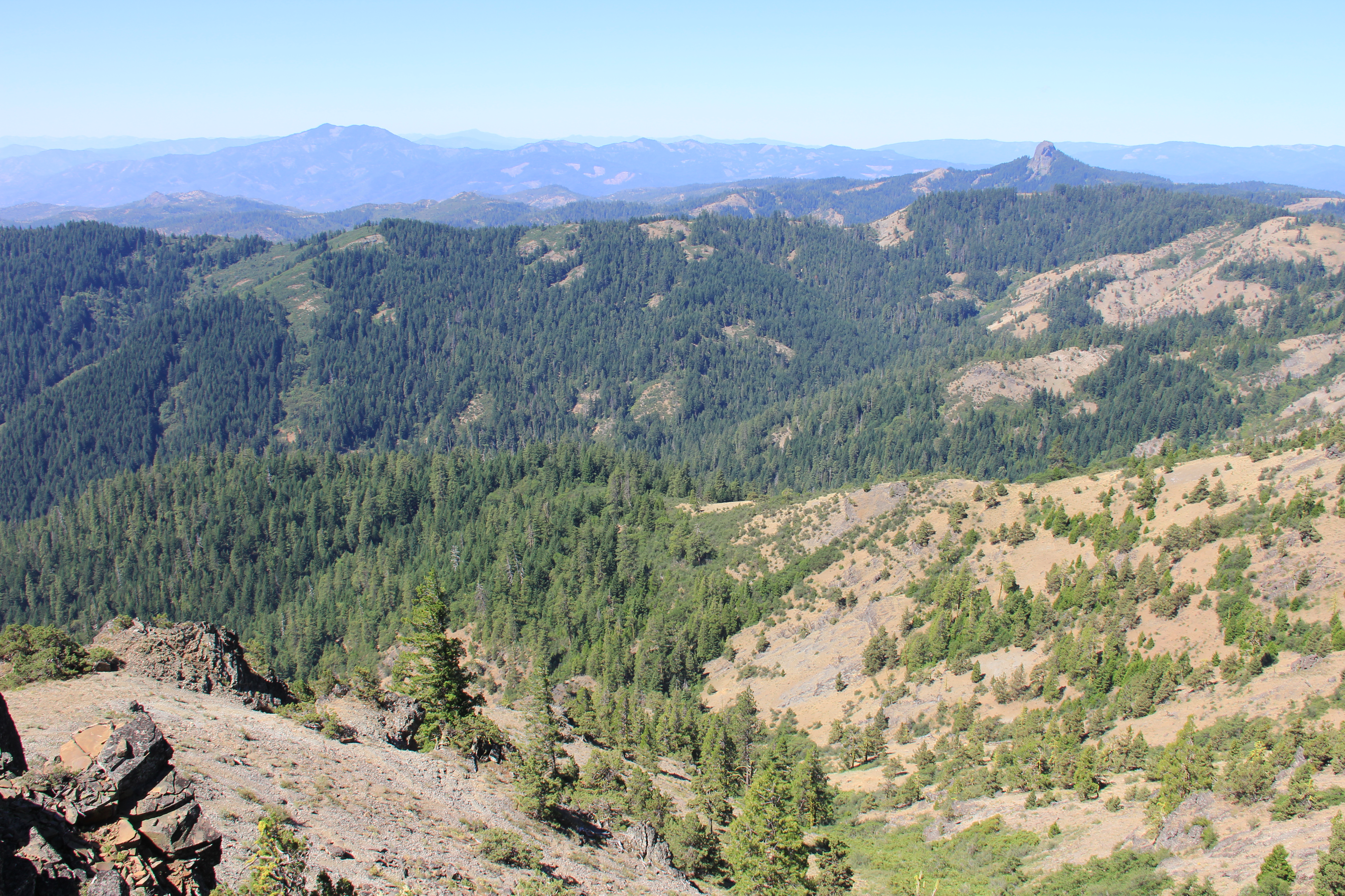
Pilot Rock Panorama

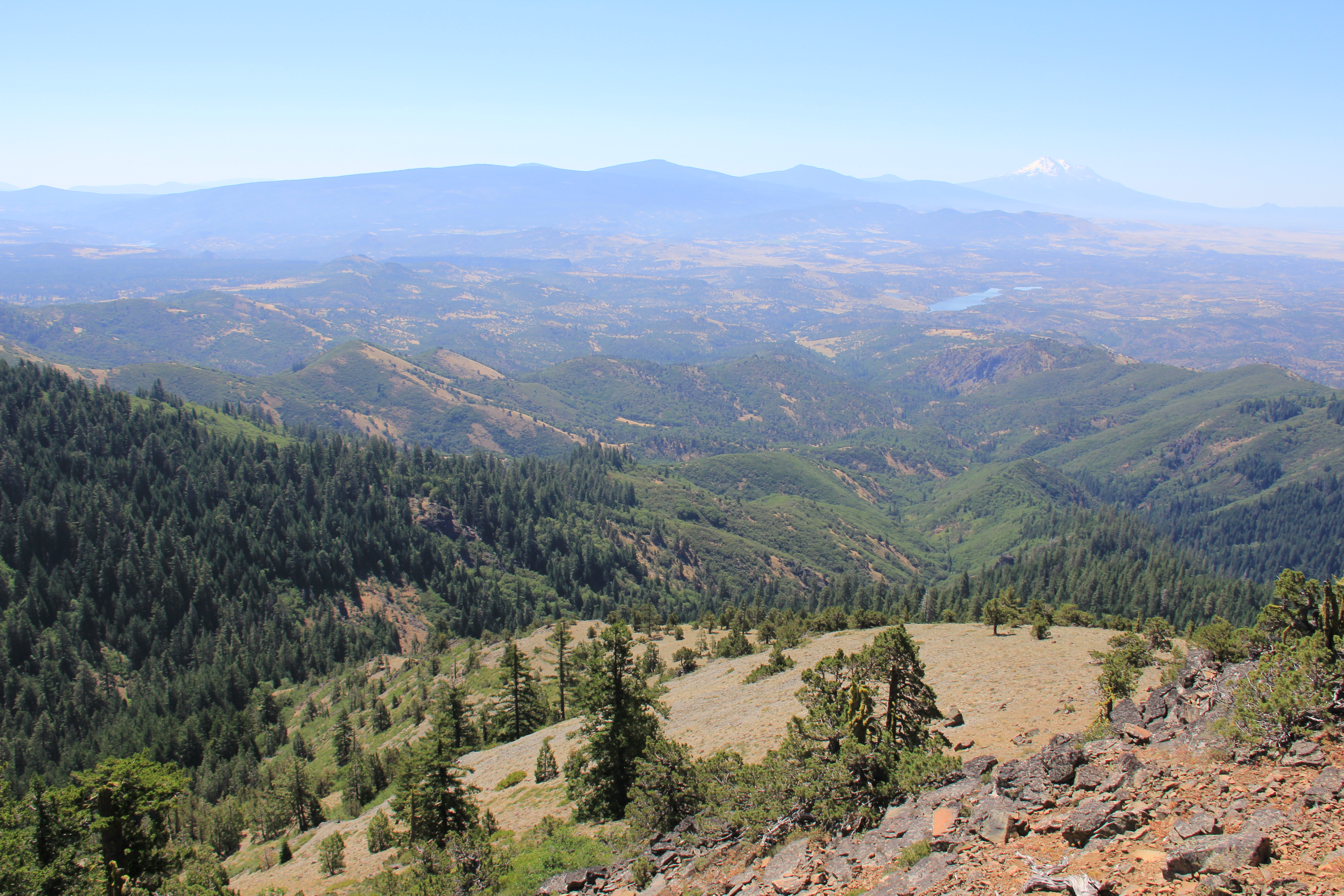
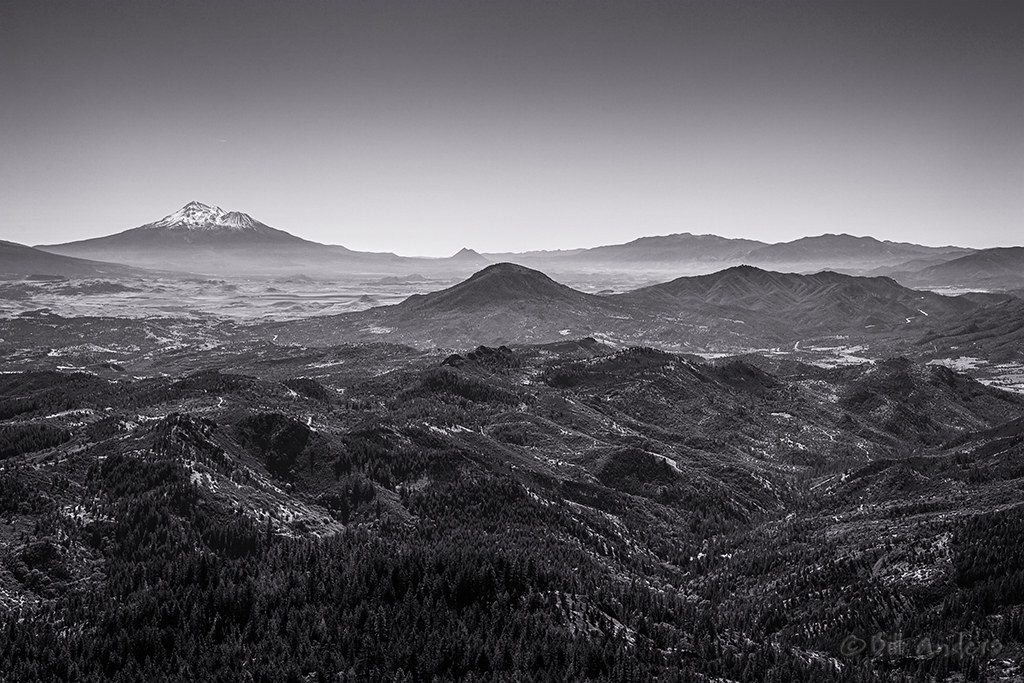
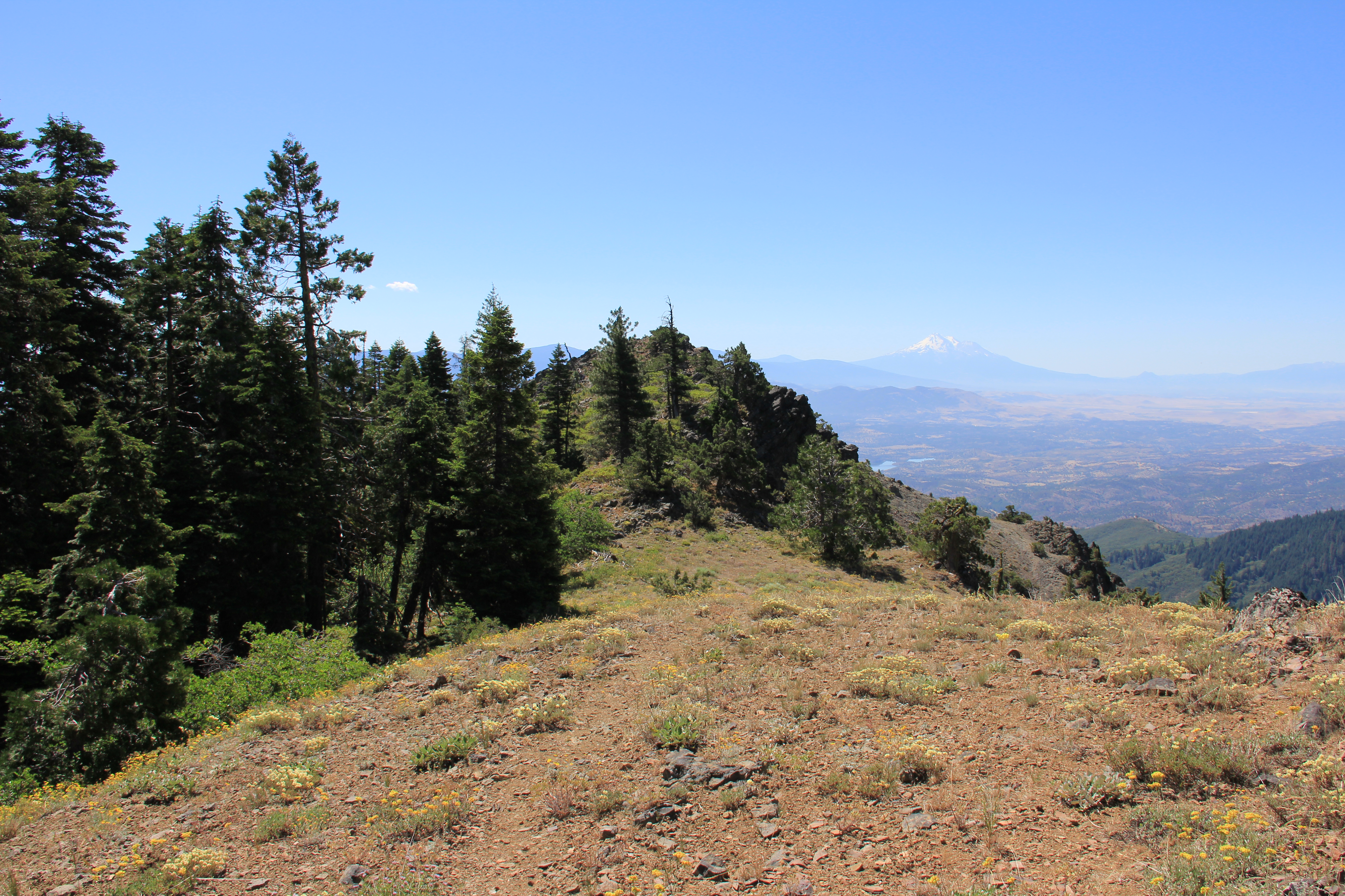
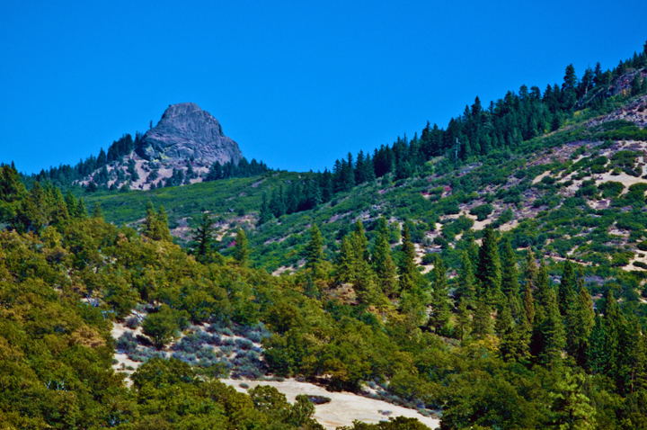
Mount Shasta
View from Boccard
Pilot Rock Shasta View
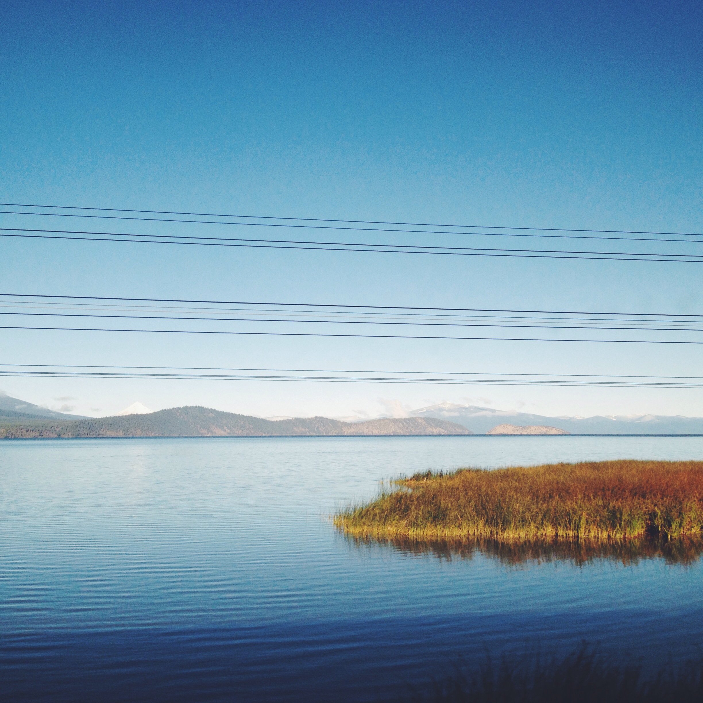
Jenny Creek, Cascade-Siskiyou National Monument
Boccard Point
The View from Boccard Road

This was the view, for a couple of hours.

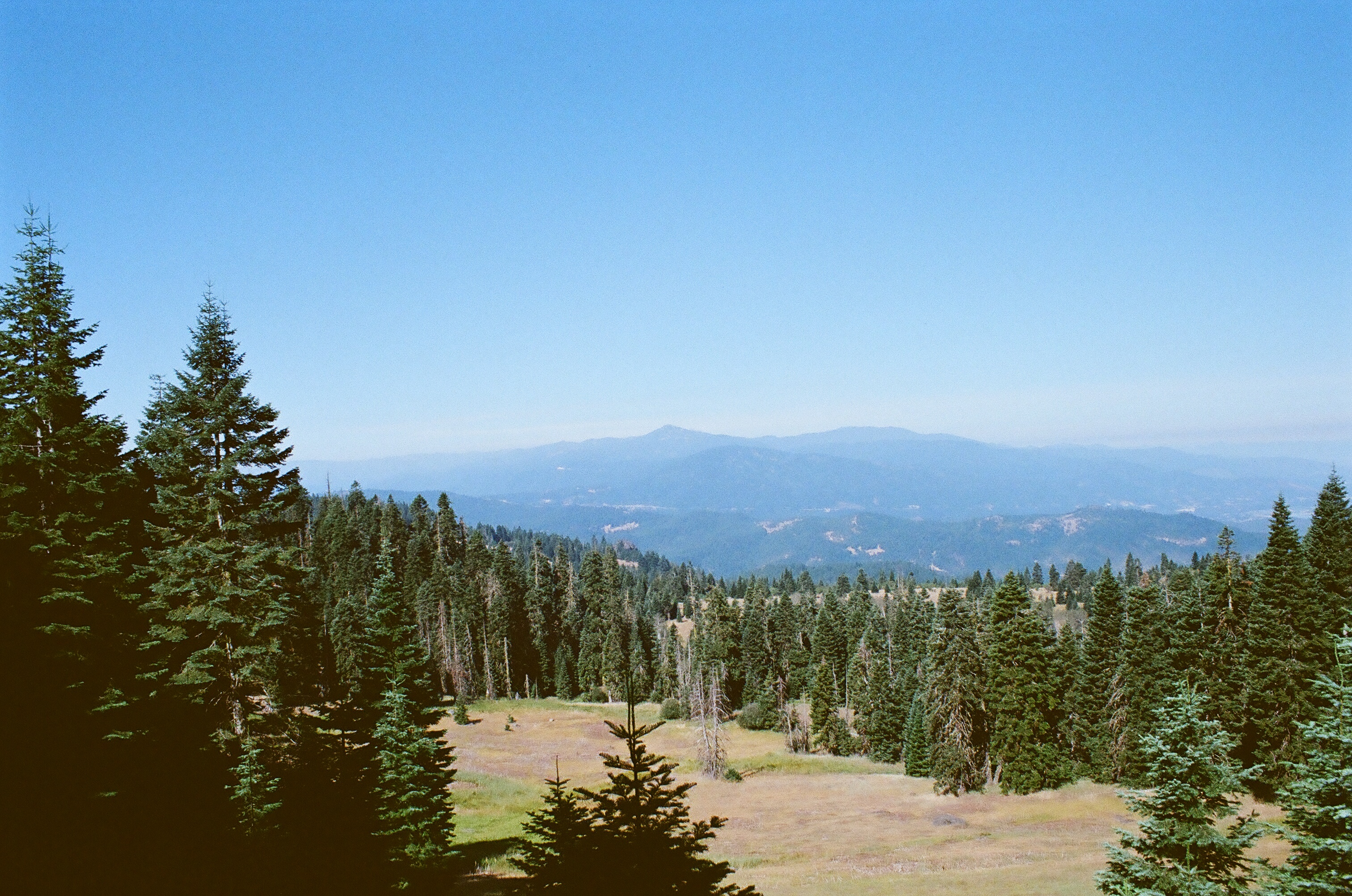
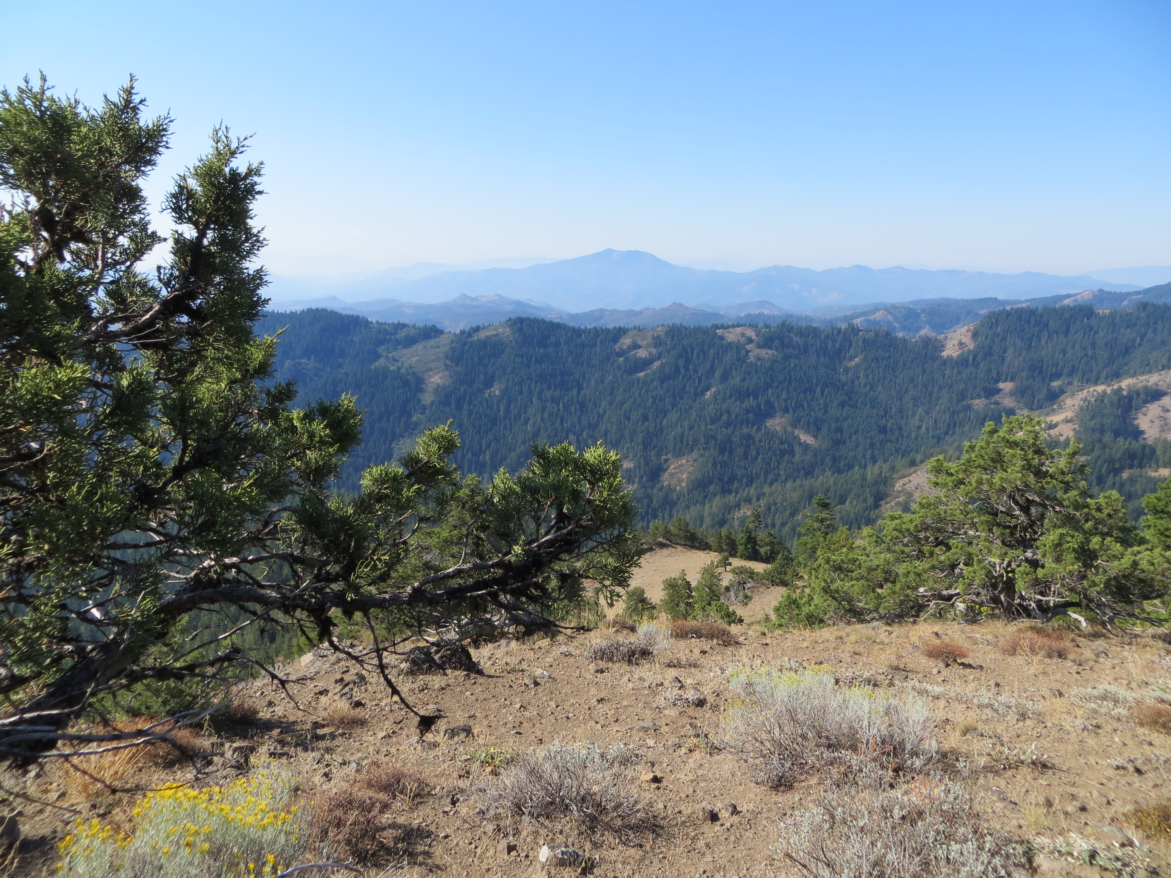
Ridge View

Ridge View
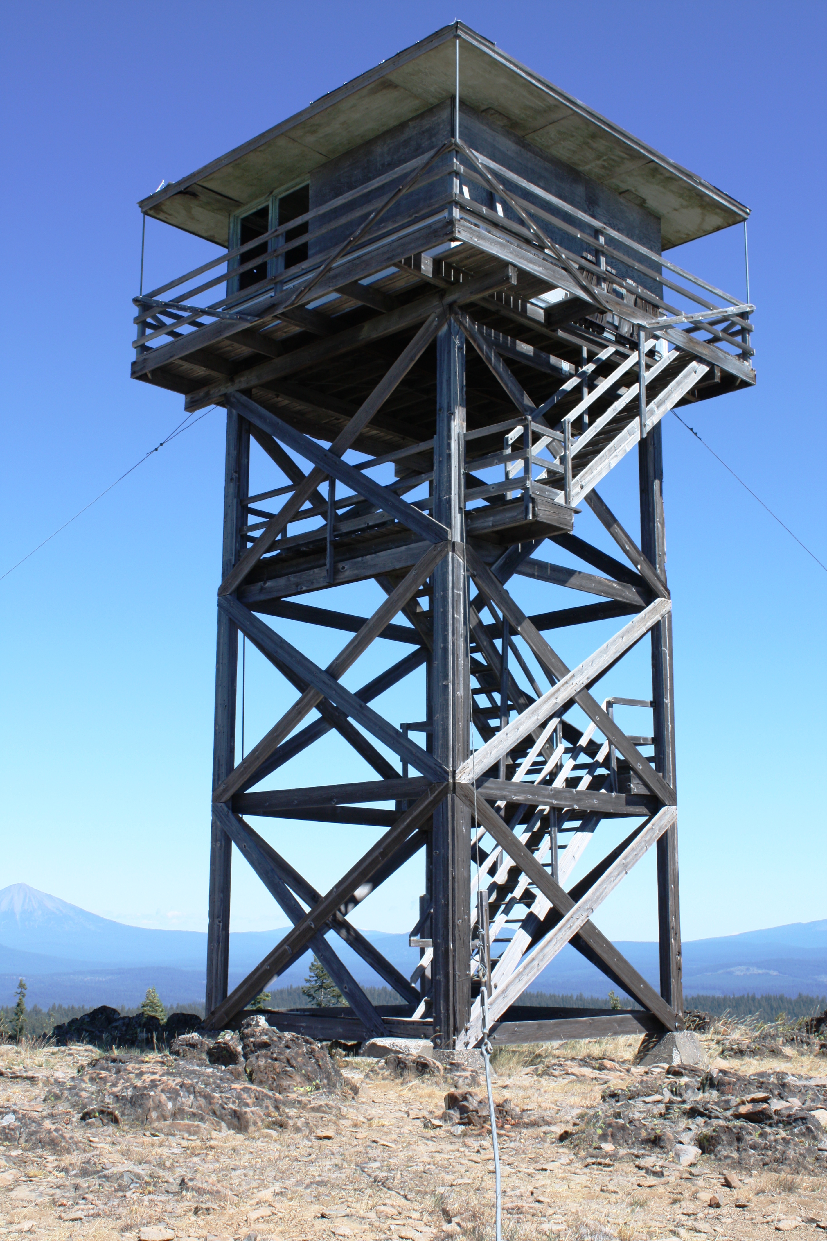
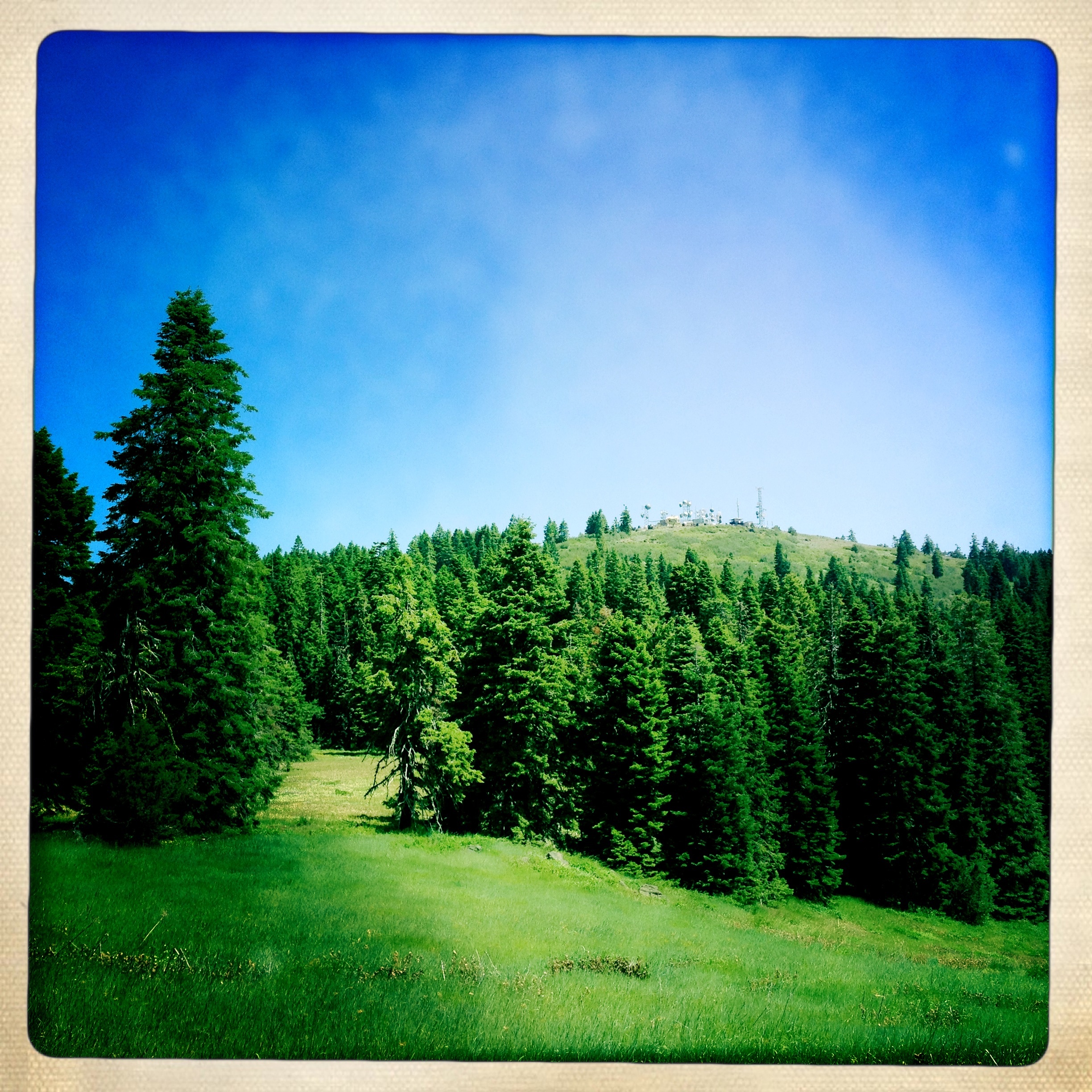
Table Mtn LO

Ridge View

Ridge View

Ridge View
View of the stream

Two Butterflies
Pilot-Rock-2

Southern Oregon from Dead Indian Memorial Road (facing Ashland)
Punk rockers in the woods.
Cascade-Siskiyou National Monument
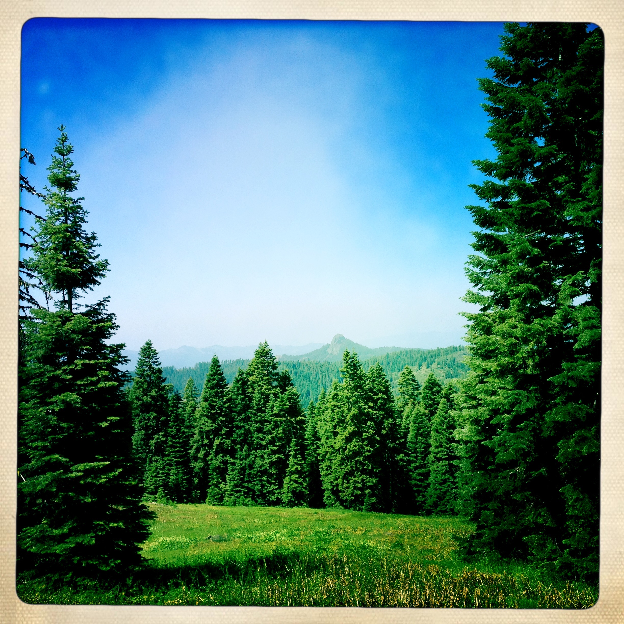
PCT Meadow Overlook
Cascade-Siskiyou National Monument
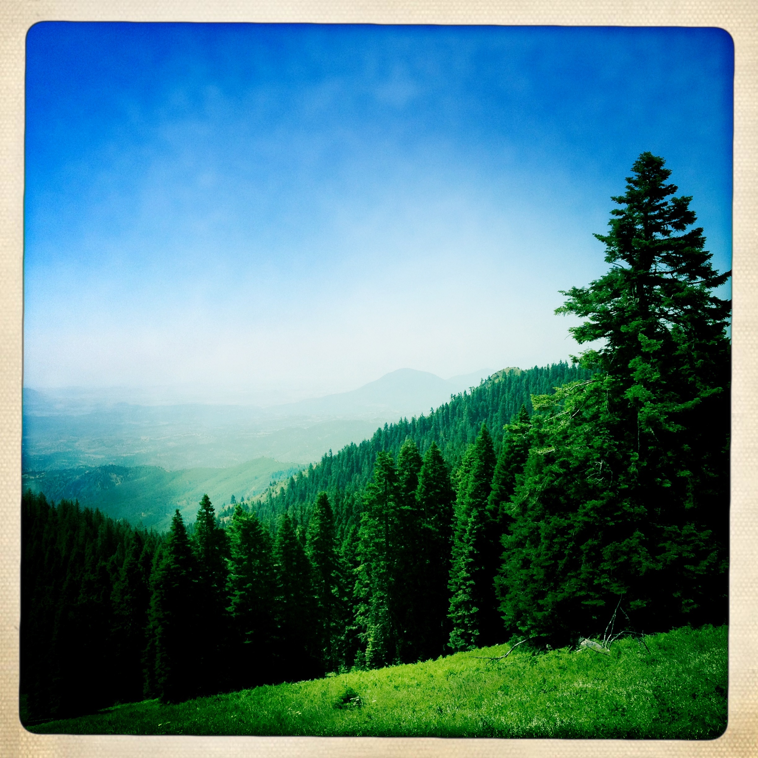
Soda Mountain, Cascade-Siskiyou National Monument
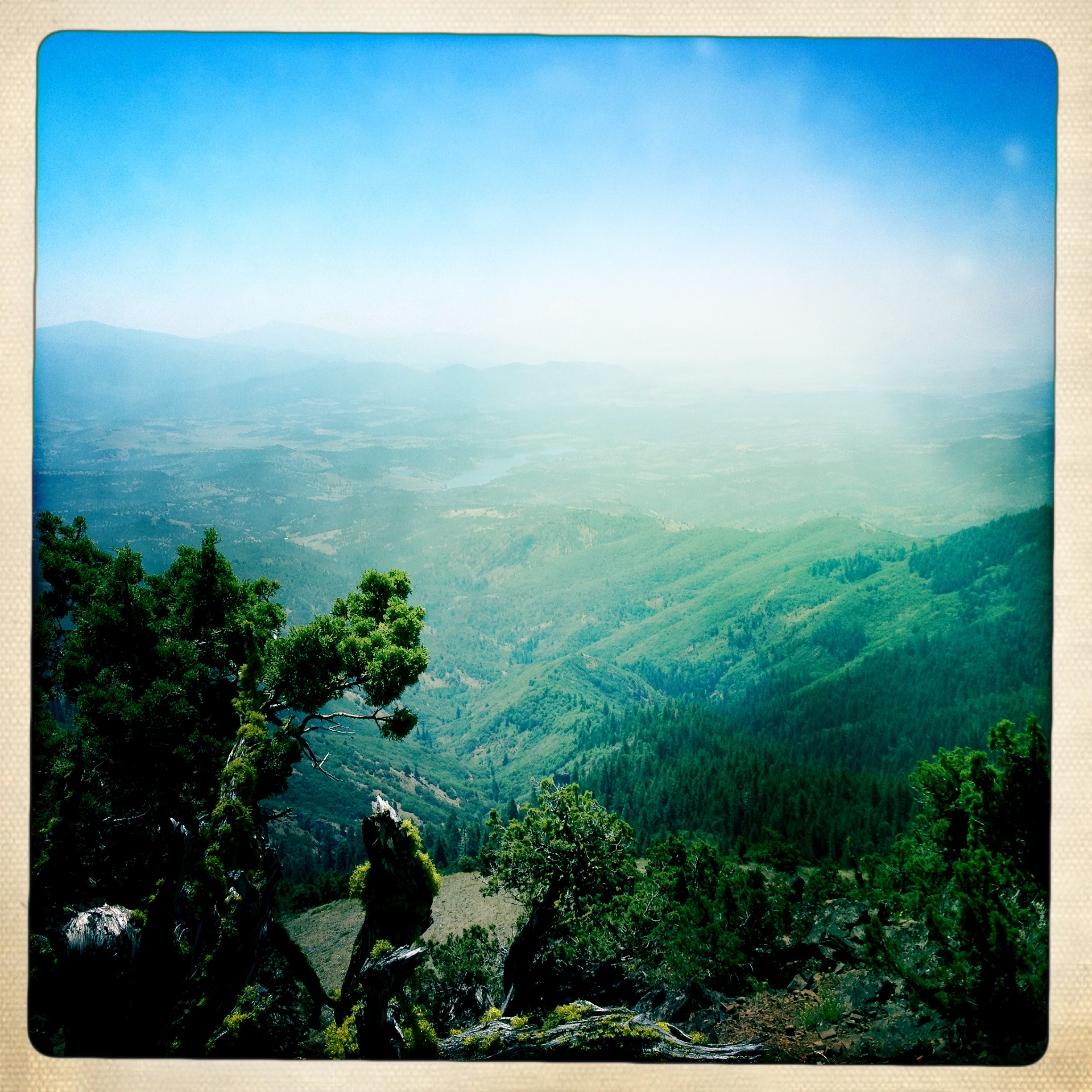
From Boccard Point, Cascade-Siskiyou National Monument
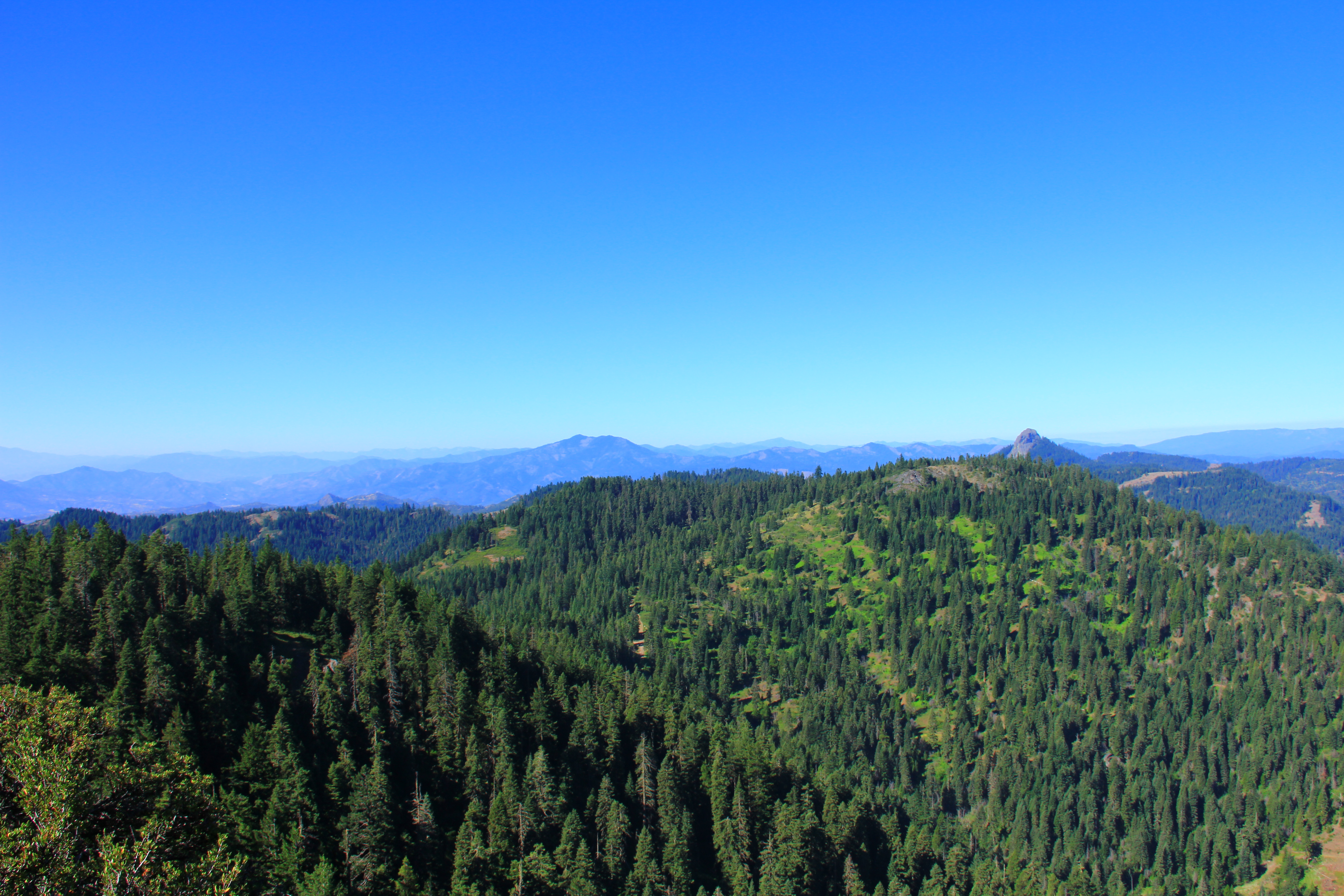
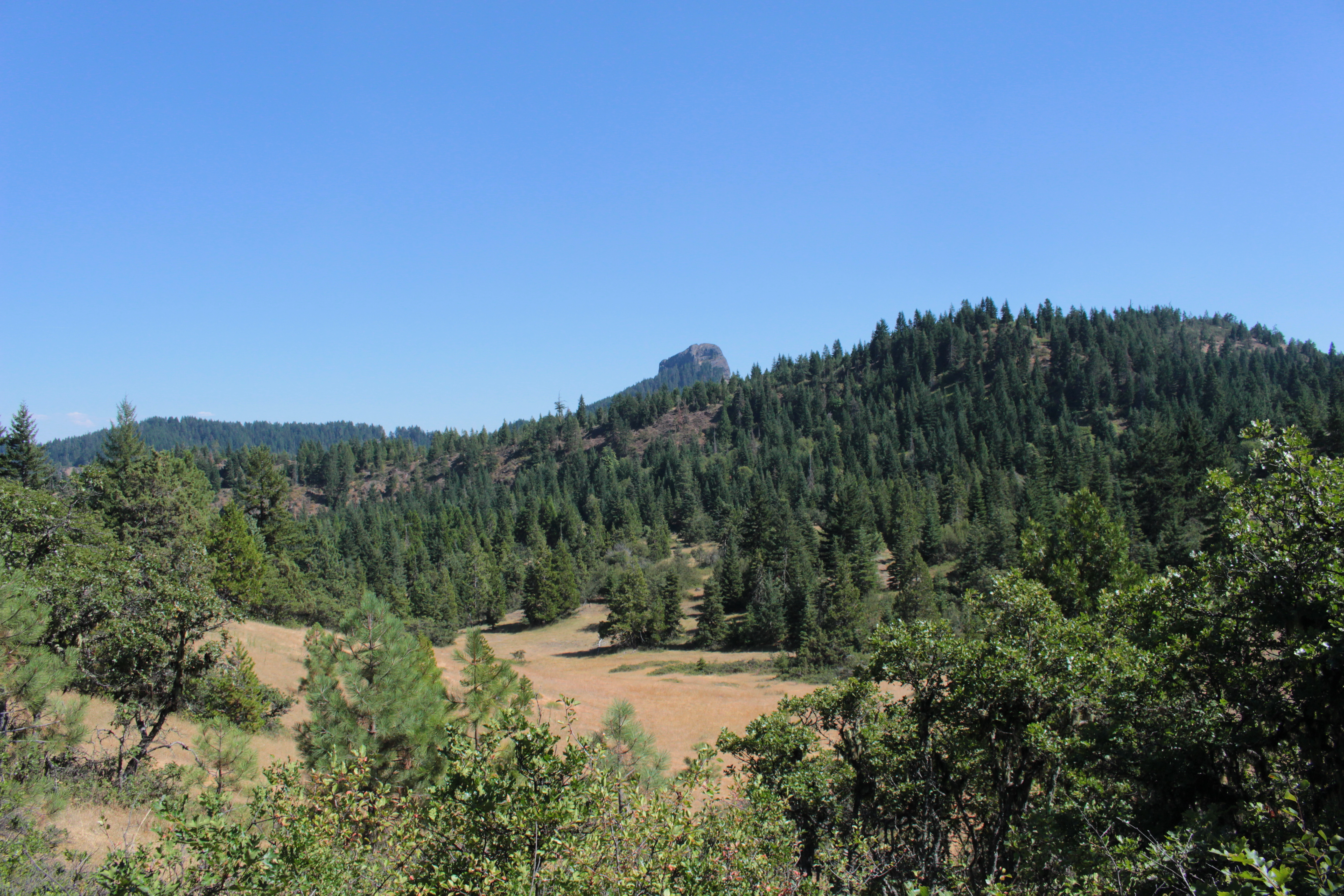
Pilot Rock, Cascade-Siskiyou National Monument
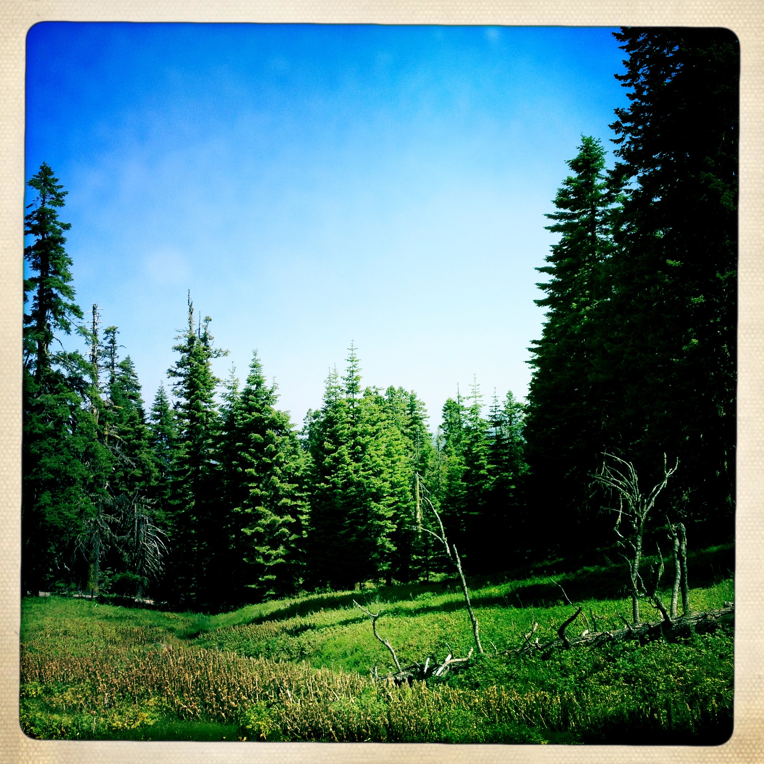
Cascade-Siskiyou National Monument
Cascade-Siskiyou National Monument
October 2013
Cascade-Siskiyou National Monument

Toward Boccard Point, Cascade-Siskiyou National Monument

Mt. McLoughlin
Topographic Map of OR-66, Ashland, OR, USA
Find elevation by address:

Places near OR-66, Ashland, OR, USA:
Green Springs Inn & Cabins
12385 Or-66
12626 Or-66
17617 Or-66
17617 Green Springs Hwy
129 Steinman Dr
Tunnel 13
Siskiyou Summit
11800 Old Hwy 99 S
220 Mobile Dr
Green Springs Highway 66
1895 Colestin Rd
1891 Colestin Rd
1720 Colestin Rd
1909 Colestin Rd
Colestin
2950 Siskiyou Blvd
609 Oak Knoll Dr
1070 Tolman Creek Rd
2245 Colestin Rd
Recent Searches:
- Elevation of Côte-des-Neiges, Montreal, QC H4A 3J6, Canada
- Elevation of Bobcat Dr, Helena, MT, USA
- Elevation of Zu den Ihlowbergen, Althüttendorf, Germany
- Elevation of Badaber, Peshawar, Khyber Pakhtunkhwa, Pakistan
- Elevation of SE Heron Loop, Lincoln City, OR, USA
- Elevation of Slanický ostrov, 01 Námestovo, Slovakia
- Elevation of Spaceport America, Co Rd A, Truth or Consequences, NM, USA
- Elevation of Warwick, RI, USA
- Elevation of Fern Rd, Whitmore, CA, USA
- Elevation of 62 Abbey St, Marshfield, MA, USA