Elevation of Općina Lekenik, Croatia
Location: Croatia >
Longitude: 16.1719761
Latitude: 45.5341673
Elevation: 142m / 466feet
Barometric Pressure: 100KPa
Elevation Map:
Satellite Map:
Related Photos:
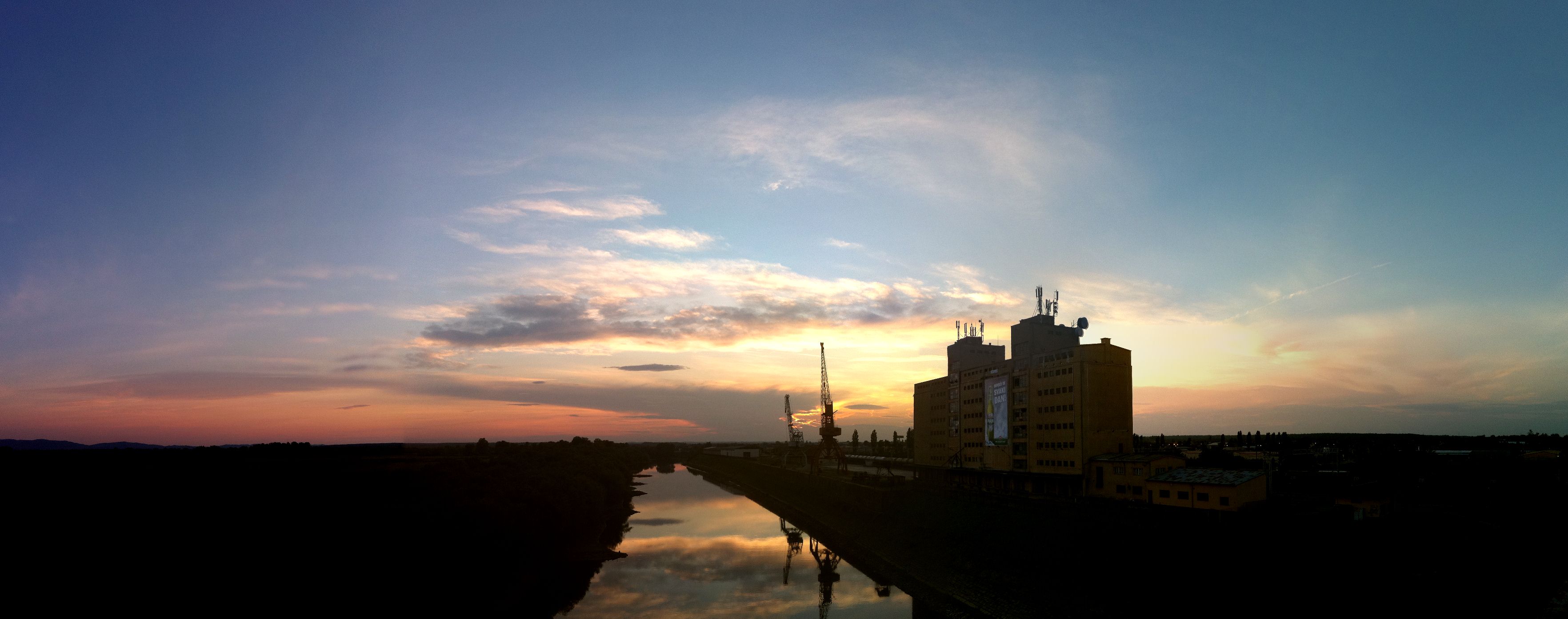
A View from the Bridge

Bicycle diaries 15-007
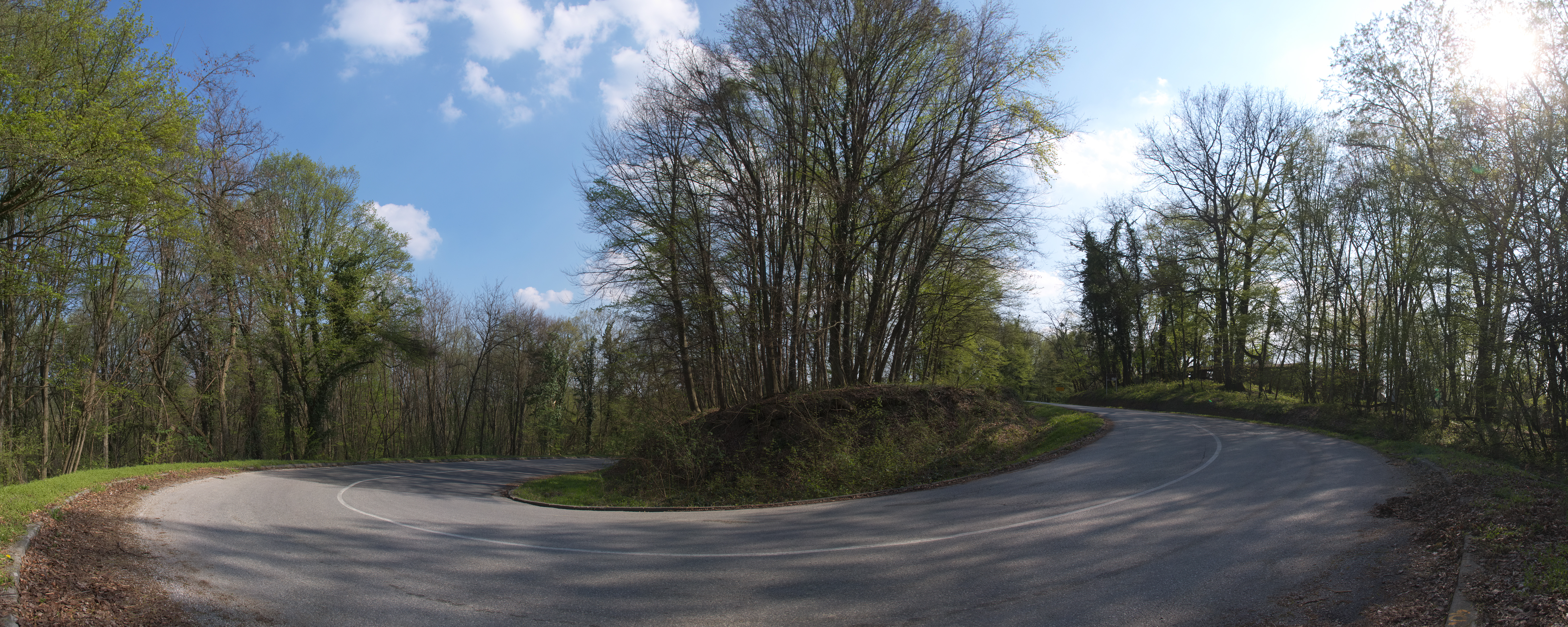
Bicycle diaries

Bicycle diaries 4
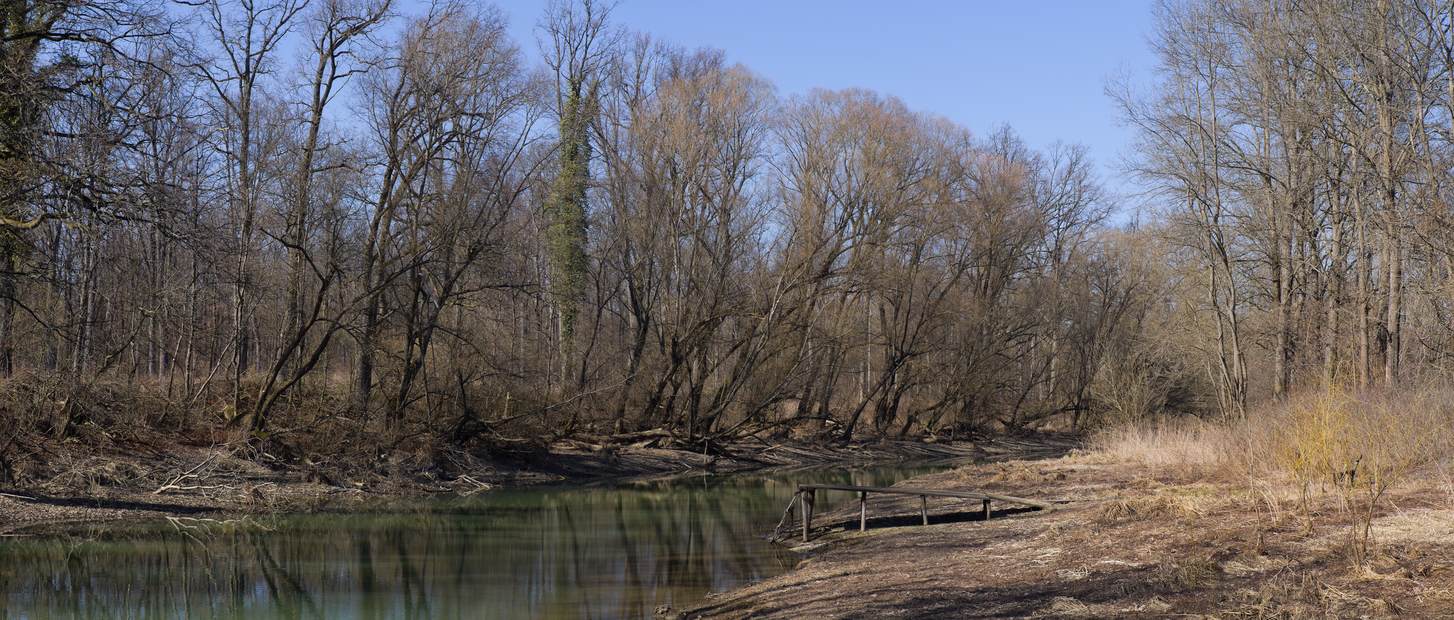
Panorama near Odra river
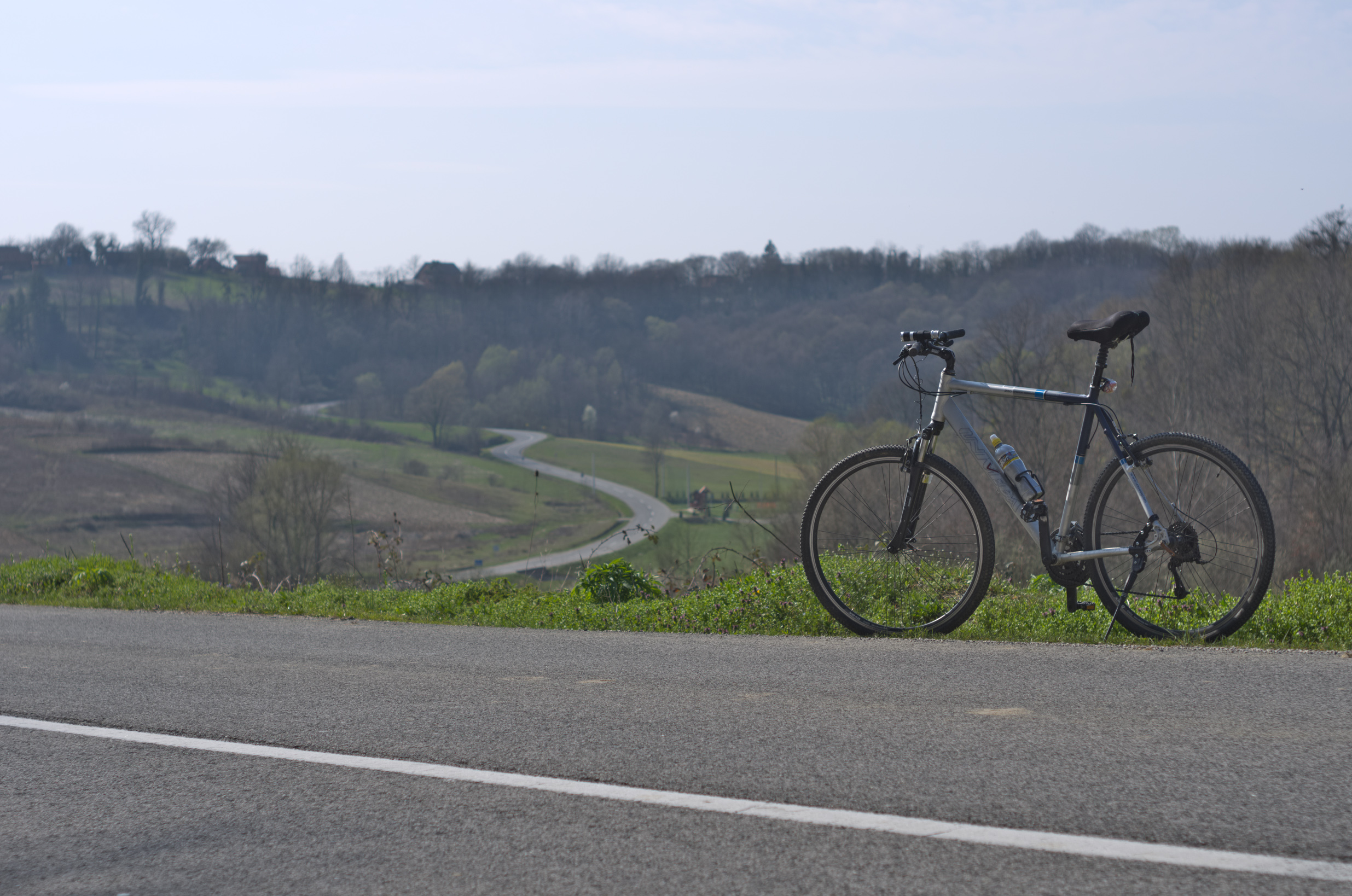
Bicycle diaries

Petrova gora

111.&112.

May weather, vol 1

March weather vol 1

183.
Topographic Map of Općina Lekenik, Croatia
Find elevation by address:

Places in Općina Lekenik, Croatia:
Places near Općina Lekenik, Croatia:
D36 7, Stari Farkašić, Croatia
Općina Orle
Gladovec Pokupski, Gladovec Pokupski, Croatia
Žitkovčica 45, Žitkovčica, Croatia
Općina Pokupsko
Gladovec Pokupski
Ul. Ivana Šabana 4, Šiljakovina, Croatia
Bukevje, Orle
D31 4, Donje Taborište, Croatia
16f
Sisak
Lukinić Brdo 91, Lukinić Brdo, Croatia
Trpučanska ul. 8, Donji Trpuci, Croatia
Donji Trpuci
Obreška ul., Odranski Obrež, Croatia
Odranski Obrež
Pilates Studio Grain
Sisačka Cesta 17
Ul. Josipa Kozarca 5
Maksimirska Cesta
Recent Searches:
- Elevation of 62 Abbey St, Marshfield, MA, USA
- Elevation of Fernwood, Bradenton, FL, USA
- Elevation of Felindre, Swansea SA5 7LU, UK
- Elevation of Leyte Industrial Development Estate, Isabel, Leyte, Philippines
- Elevation of W Granada St, Tampa, FL, USA
- Elevation of Pykes Down, Ivybridge PL21 0BY, UK
- Elevation of Jalan Senandin, Lutong, Miri, Sarawak, Malaysia
- Elevation of Bilohirs'k
- Elevation of 30 Oak Lawn Dr, Barkhamsted, CT, USA
- Elevation of Luther Road, Luther Rd, Auburn, CA, USA