Elevation of Onjong-ri, South Hamgyong, North Korea
Location: North Korea > South Hamgyong >
Longitude: 127.365686
Latitude: 39.5301893
Elevation: 13m / 43feet
Barometric Pressure: 101KPa
Elevation Map:
Satellite Map:
Related Photos:

Red Flag 1 Sinsang, North Korea

262-2 Kowon, North Korea
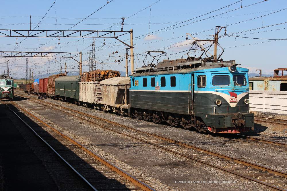
5286 Kowon, North Korea
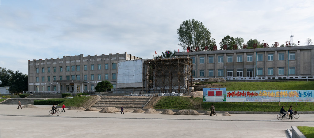
DPRK September 2012 #016

DPRK September 2012 #017
Topographic Map of Onjong-ri, South Hamgyong, North Korea
Find elevation by address:

Places near Onjong-ri, South Hamgyong, North Korea:
Recent Searches:
- Elevation of Slanický ostrov, 01 Námestovo, Slovakia
- Elevation of Spaceport America, Co Rd A, Truth or Consequences, NM, USA
- Elevation of Warwick, RI, USA
- Elevation of Fern Rd, Whitmore, CA, USA
- Elevation of 62 Abbey St, Marshfield, MA, USA
- Elevation of Fernwood, Bradenton, FL, USA
- Elevation of Felindre, Swansea SA5 7LU, UK
- Elevation of Leyte Industrial Development Estate, Isabel, Leyte, Philippines
- Elevation of W Granada St, Tampa, FL, USA
- Elevation of Pykes Down, Ivybridge PL21 0BY, UK