Elevation of Omo Ranch, CA, USA
Location: United States > California > El Dorado County >
Longitude: -120.57326
Latitude: 38.5812956
Elevation: 1102m / 3615feet
Barometric Pressure: 89KPa
Elevation Map:
Satellite Map:
Related Photos:
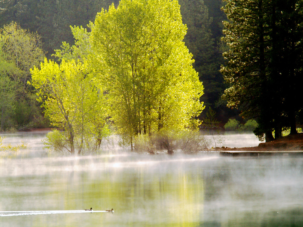
Morning Mist

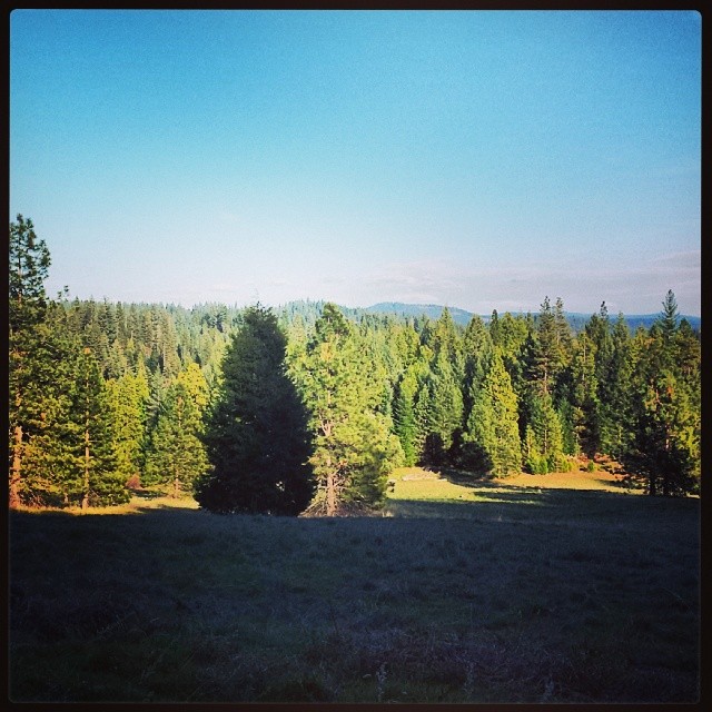
Tahoe Forest - View across the canyon Omo Ranch Road
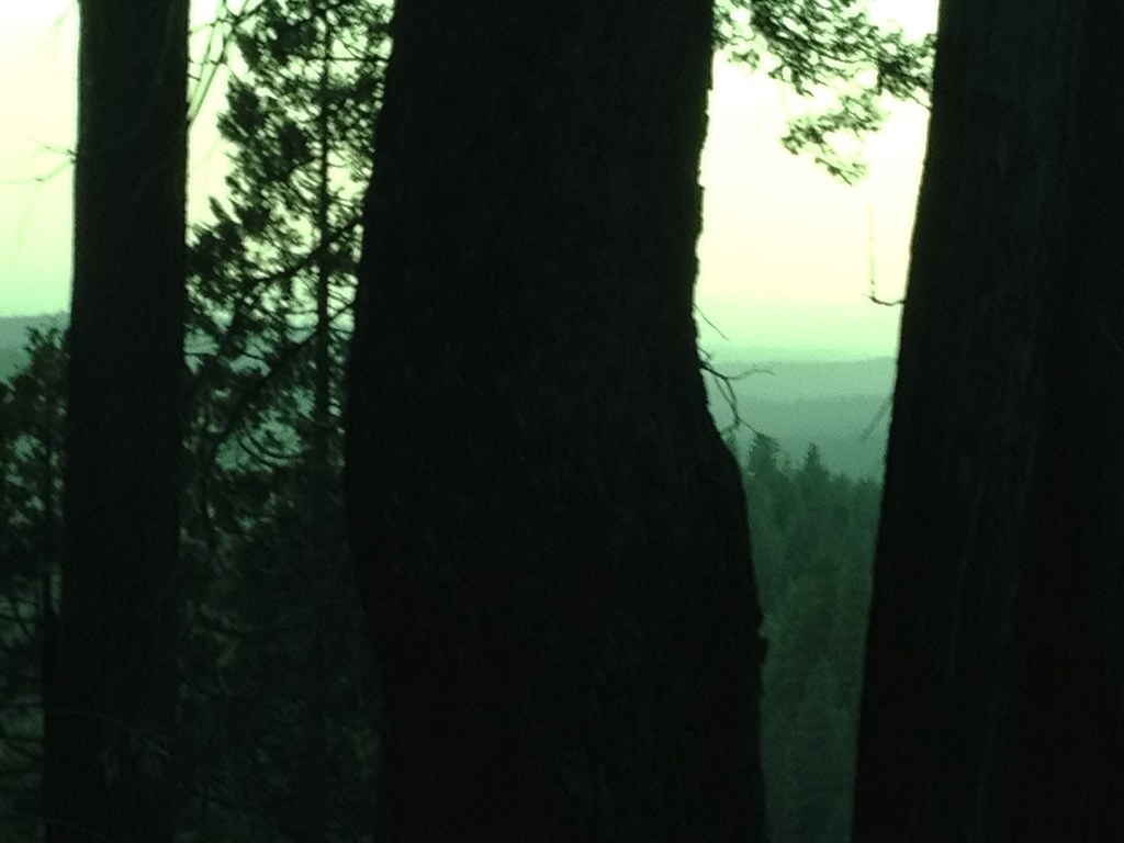
Tahoe Forest - View across the canyon Omo Ranch Road
Tahoe Forest - View across the canyon Omo Ranch Road

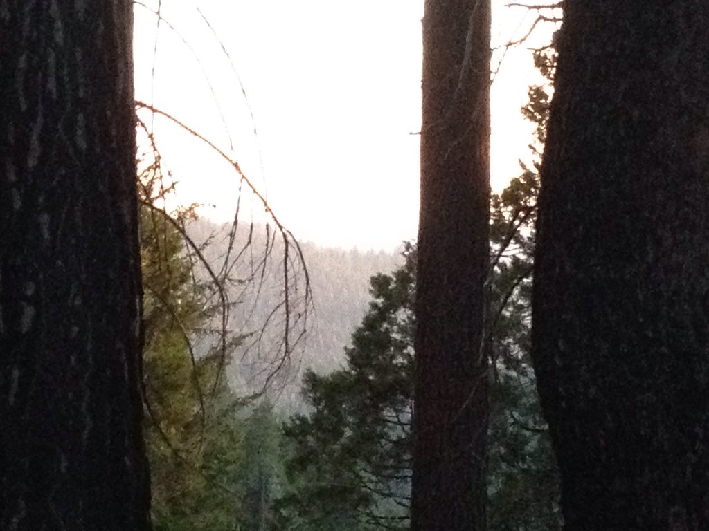
View across the canyon from Omo Ranch Road

View from Omo Road - Tahoe National Forest
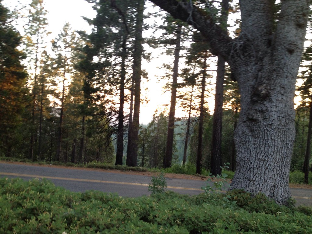
Tahoe Forest - View across the canyon Omo Ranch Road

Tahoe Forest - View across the canyon Omo Ranch Road
Mt. Aukum fall views

Friends or foes?

Jenkinson Lake at blue hour

One more dragonfly.
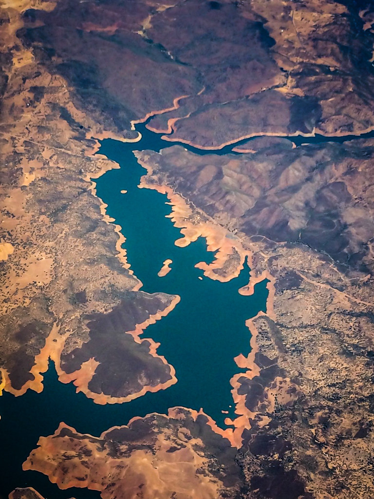
Aerial view of a reservoir over California
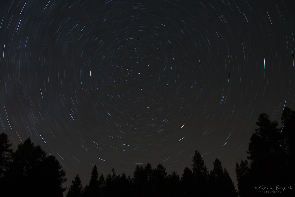
Trail of Stars

Apples anyone?
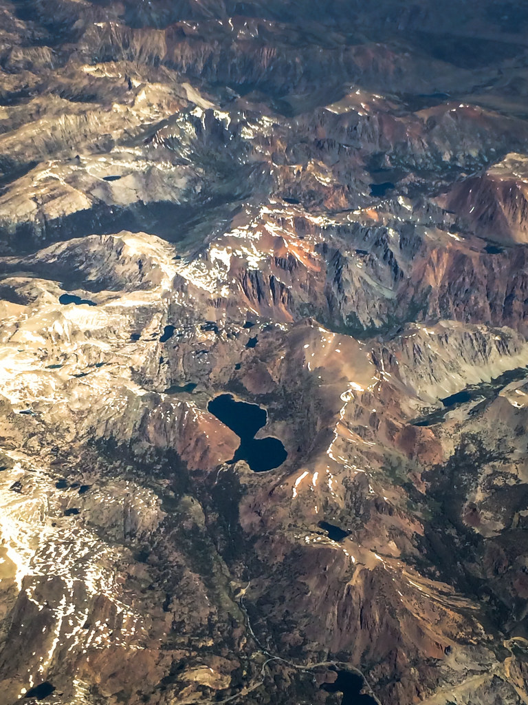
Aerial view of mountain range over eastern California

Western Gasteruption

Count them 6 butterflies in one shot!

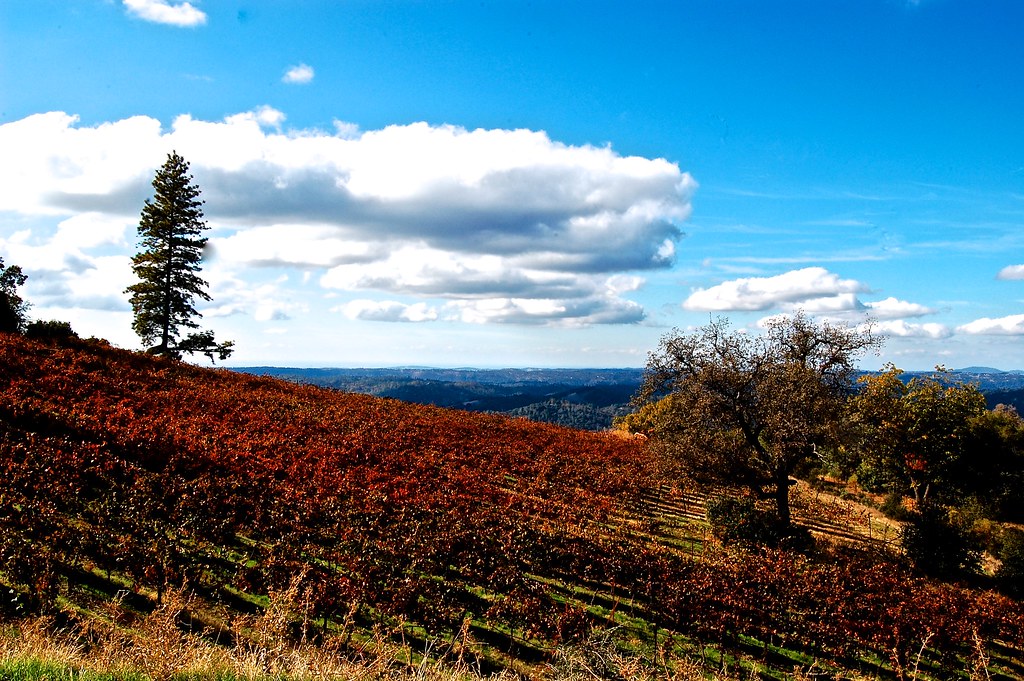
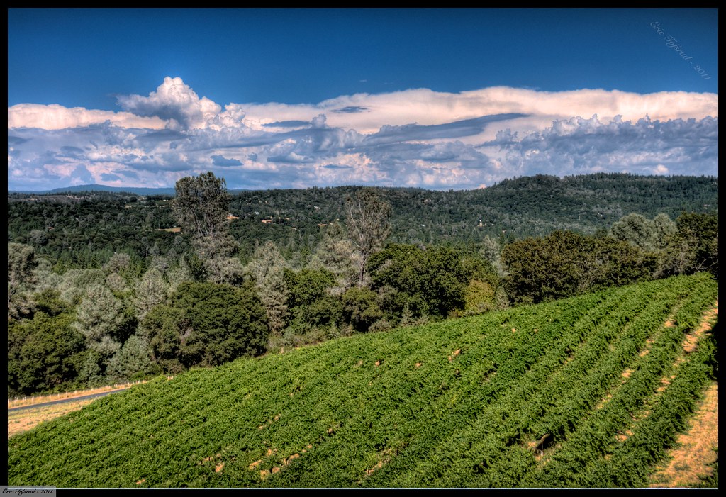
Shadow Ranch, Winery view

Mt. Aukum fall views
Cabin - River
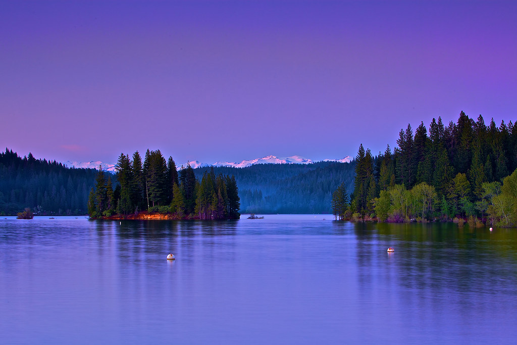
Jenkinson Lake at blue hour

Golden leaves Winery, fall foliage
DSC_4253.JPG

california sunset

_8130126.NEF
Moss and Water

Hipstamatic Wrights Lake
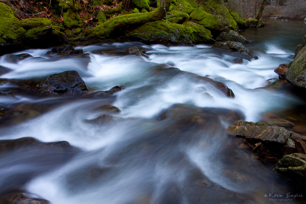
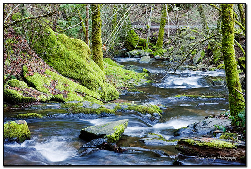
Sly Park creek

_8130154.NEF
California Foothill Terrain, at it's best !!

_8130152.NEF
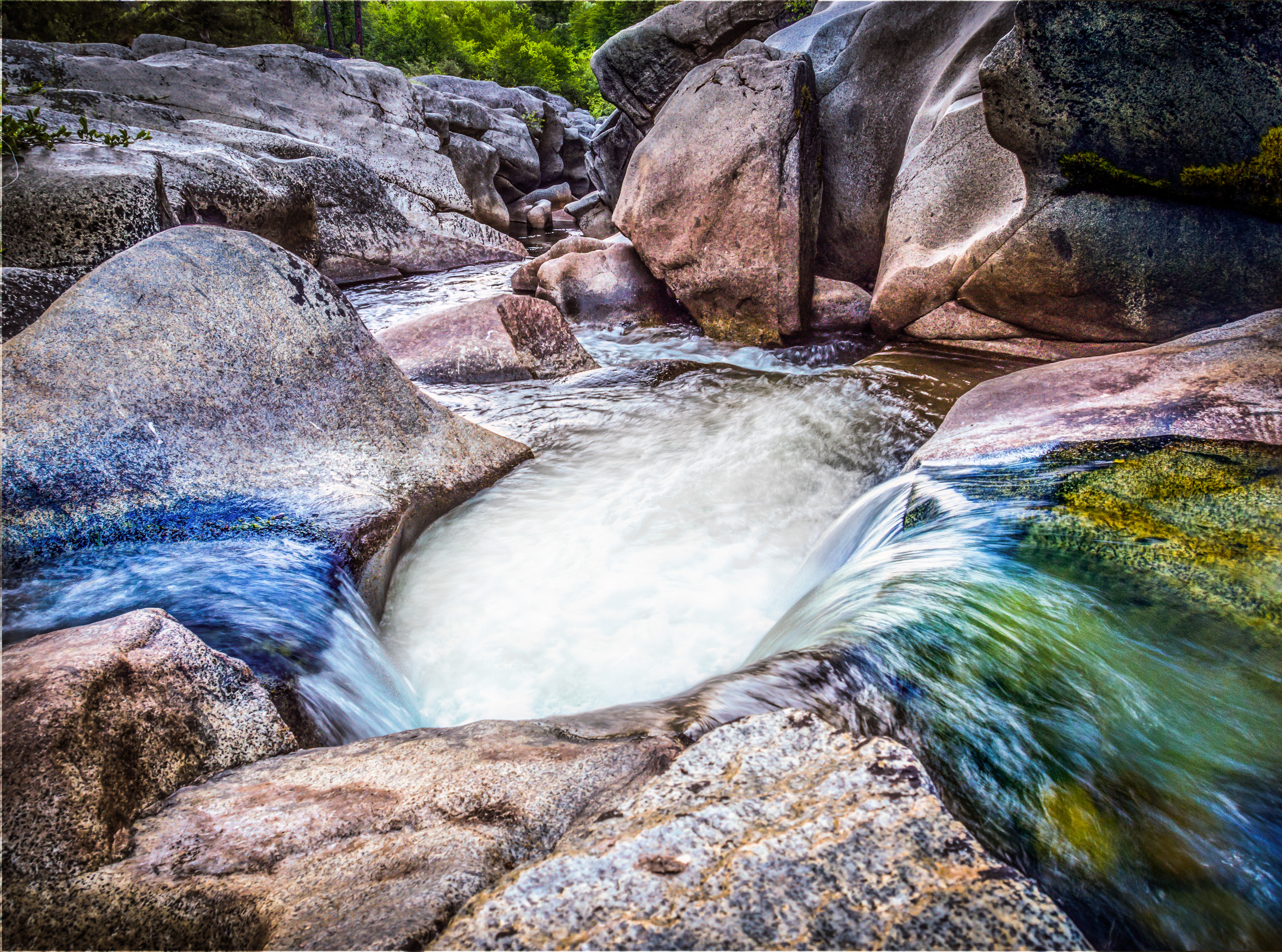
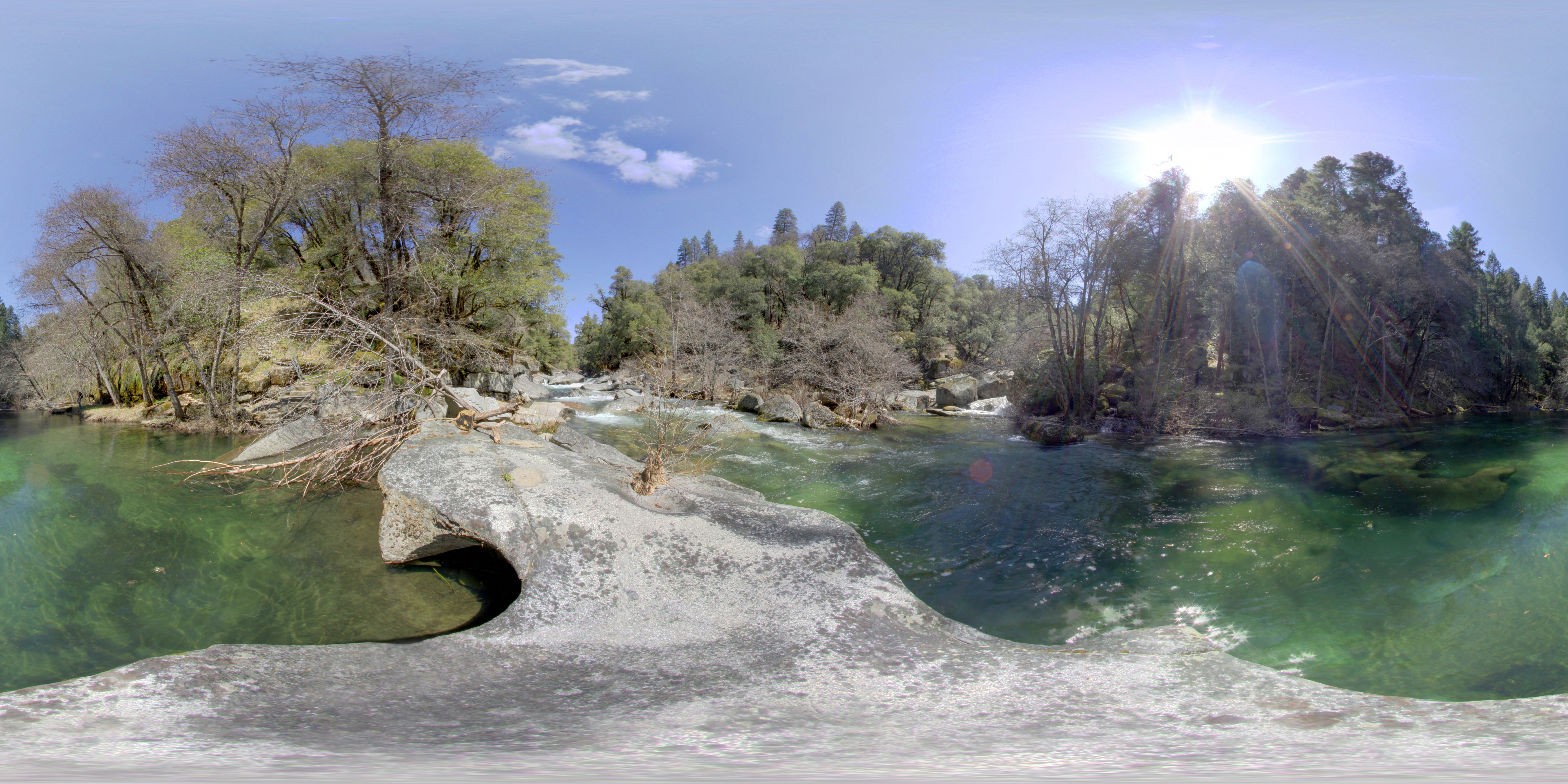
Cosumnes River Hole
ATR20130218-1649-195
Walking the pups! So #pretty! Great weather! #mountains

_8130125.NEF
Topographic Map of Omo Ranch, CA, USA
Find elevation by address:

Places near Omo Ranch, CA, USA:
Old Mill Rd, Somerset, CA, USA
5960 Omo Ranch Rd
6380 Omo Ranch Rd
6301 Omo Ranch Rd
4101 Mountain Dew Ln
5753 Blue Mountain Dr
5465 Pine Ridge Dr
6565 Kestrel Way
10100 Grizzly Flat Rd
5456 Cosumnes Mine Rd
10204 Grizzly Flat Rd
6255 Wooded Glen Dr
5340 String Canyon Rd
4886 Creekside Dr
Caldor Road
Grizzly Flats
Grizzly Flat Rd, Grizzly Flats, CA, USA
Hawkeye Road
4902 Rollingwood Dr
United States Postal Service
Recent Searches:
- Elevation of Lampiasi St, Sarasota, FL, USA
- Elevation of Elwyn Dr, Roanoke Rapids, NC, USA
- Elevation of Congressional Dr, Stevensville, MD, USA
- Elevation of Bellview Rd, McLean, VA, USA
- Elevation of Stage Island Rd, Chatham, MA, USA
- Elevation of Shibuya Scramble Crossing, 21 Udagawacho, Shibuya City, Tokyo -, Japan
- Elevation of Jadagoniai, Kaunas District Municipality, Lithuania
- Elevation of Pagonija rock, Kranto 7-oji g. 8"N, Kaunas, Lithuania
- Elevation of Co Rd 87, Jamestown, CO, USA
- Elevation of Tenjo, Cundinamarca, Colombia