Elevation of Ollezy, France
Location: France > Nord-pas-de-calais-picardie > Aisne >
Longitude: 3.143873
Latitude: 49.734282
Elevation: 69m / 226feet
Barometric Pressure: 100KPa
Elevation Map:
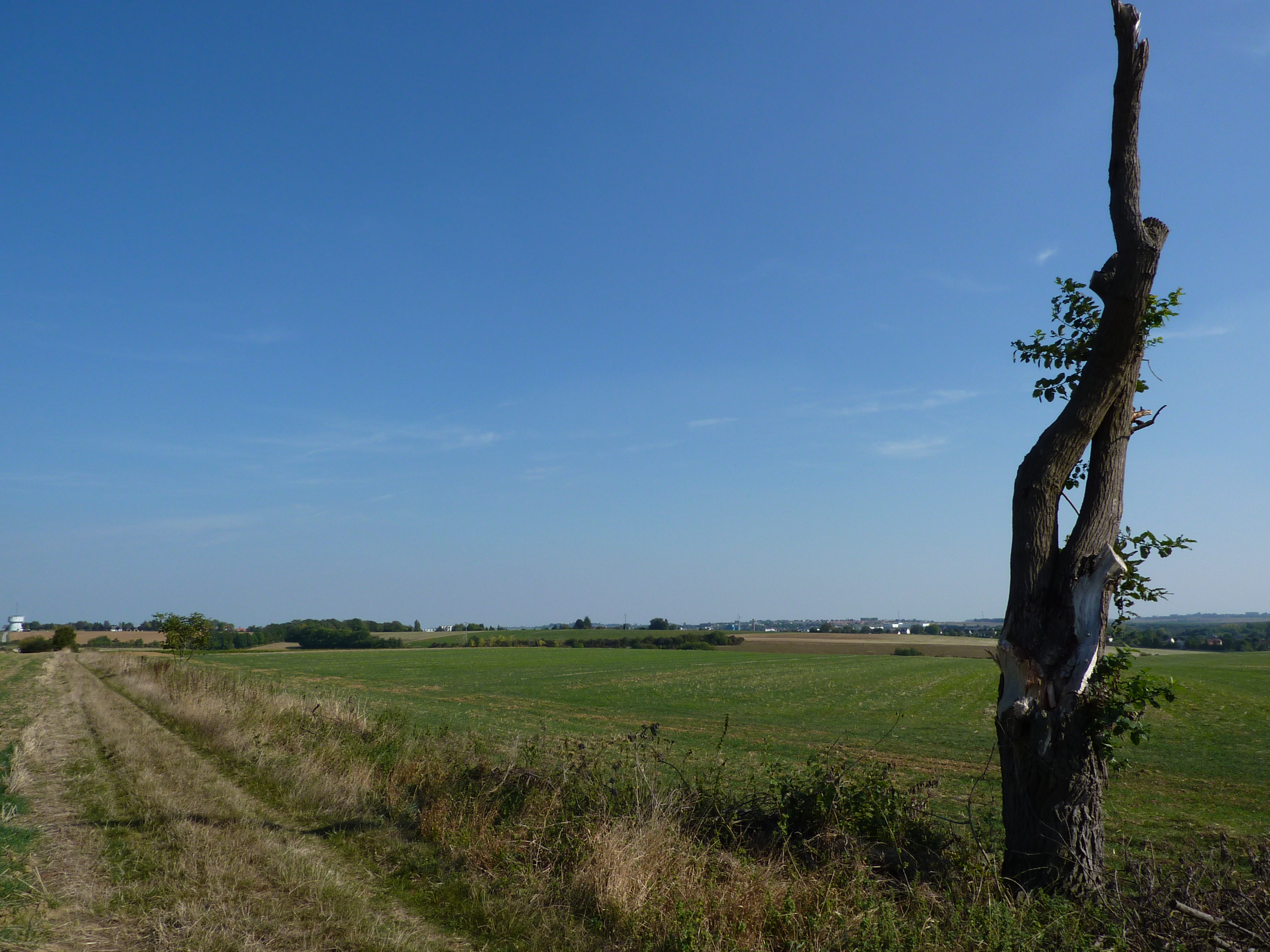
Satellite Map:
Related Photos:

Vermand Church, Aisne, Picardy, France
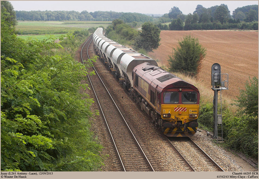
ECR 66205 @ Jussy

Tchou-Tchou

Résignation
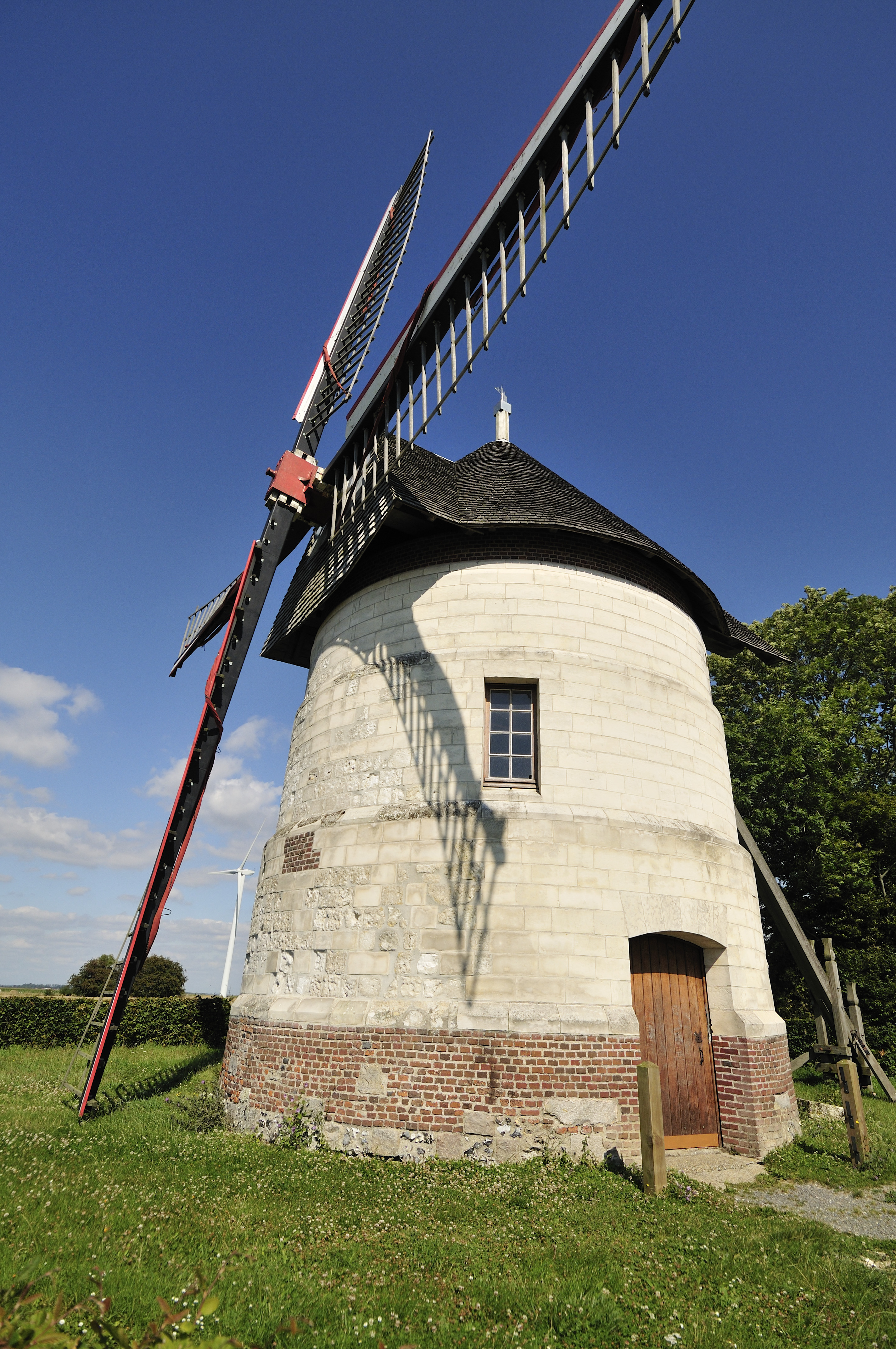
windmill 'Guidon' of d'Eaucourt - moulin d'Eaucourt
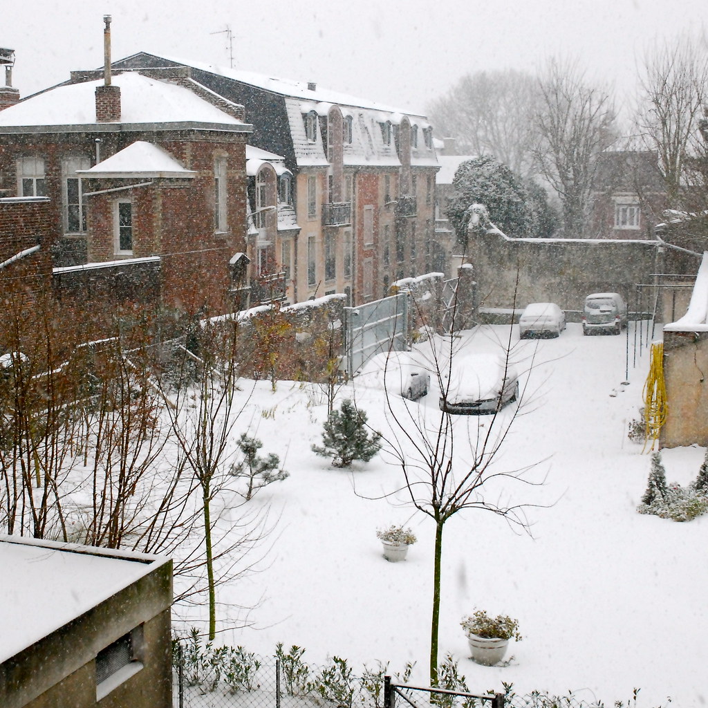
It's snowing in Picardie !

Arrivée Départ
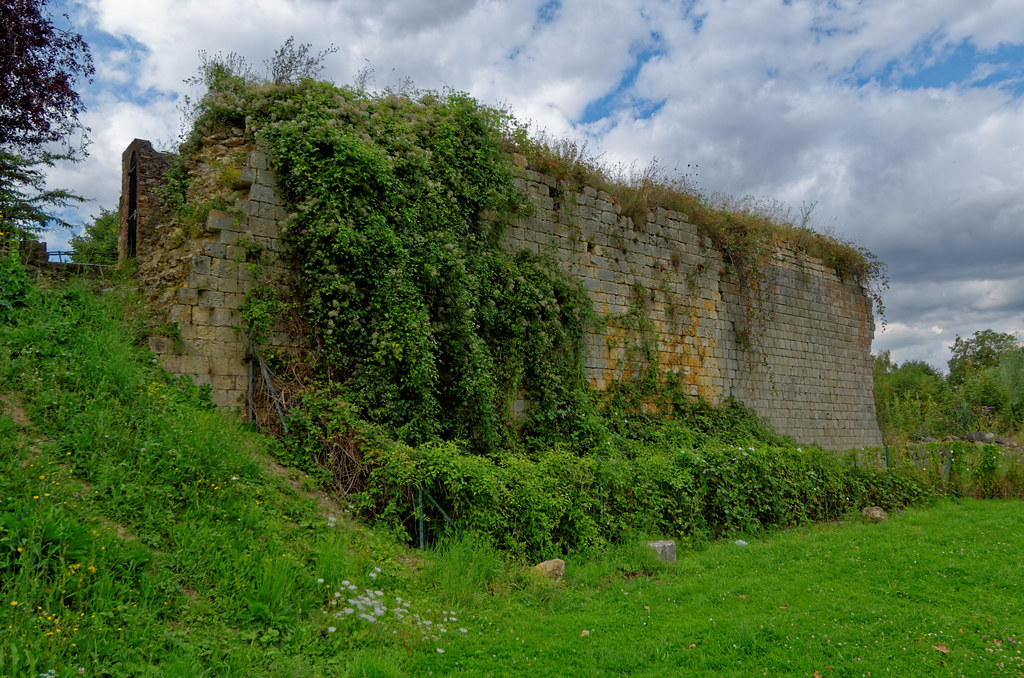
Château de Ham - Somme

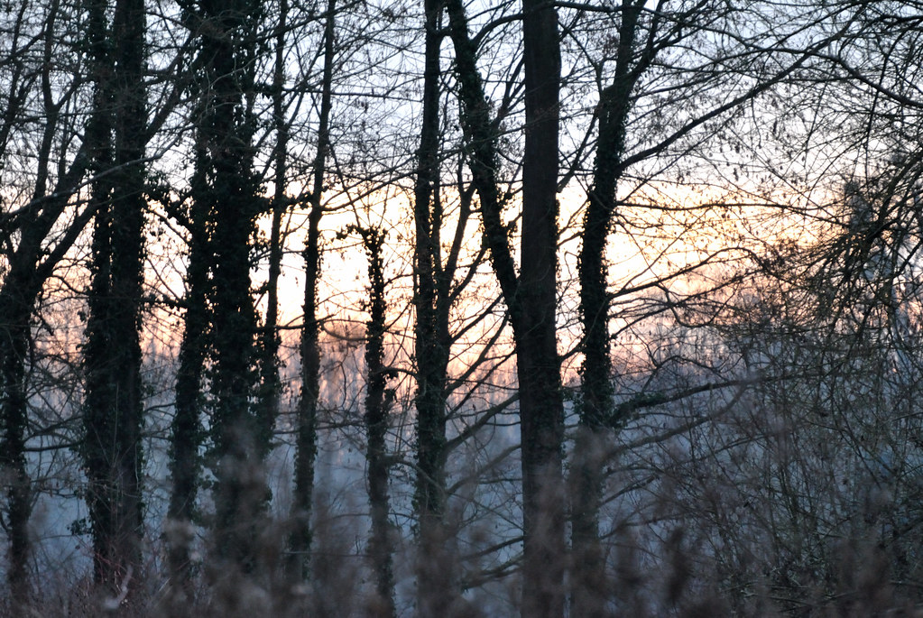
Toward the dim light

BB 26223 à Condren (02)

BB 27158 à Condren (02)
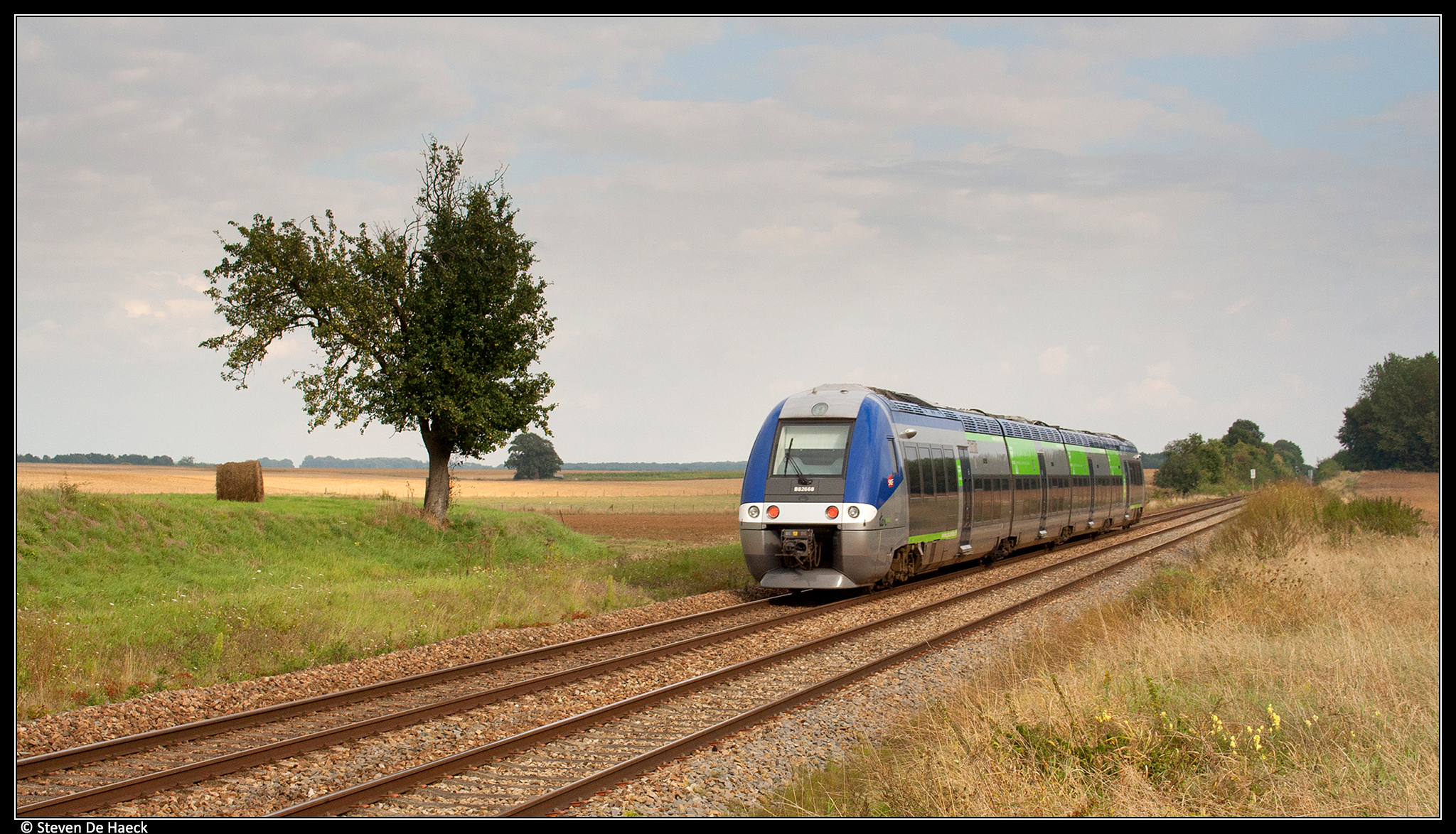
SNCF B82668 @ Jussy
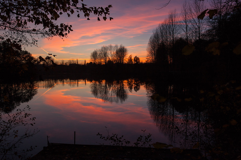
Crépuscule à Vendeuil / Twilight at Vendeuil
Nowhere to go
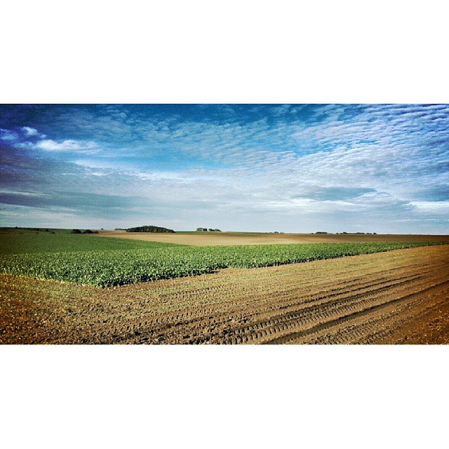
Impressions picardes #Somme #Picardie #France #igerssomme #igerspicardie #igersfrance #shootfromthecar #rarepassengermode #iphonepics #iphone5s #iphone
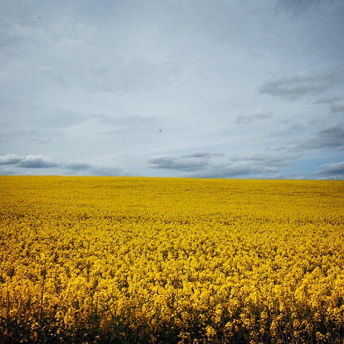
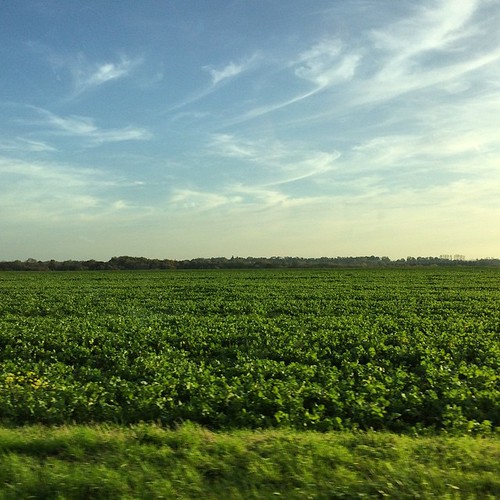
This is a lie, this is a photography #Colza #field in #Picardie #igerspicardie #RicohGR #ricoh
Picardie, France

les 4 saisons à Beauvois en Vermandois (Aisne)
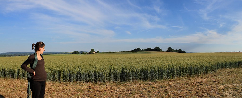
Mon premier panorama :)

The country house #16
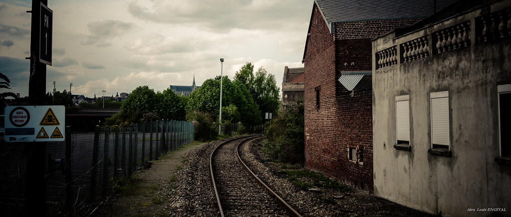
Vermand - Clair obscur
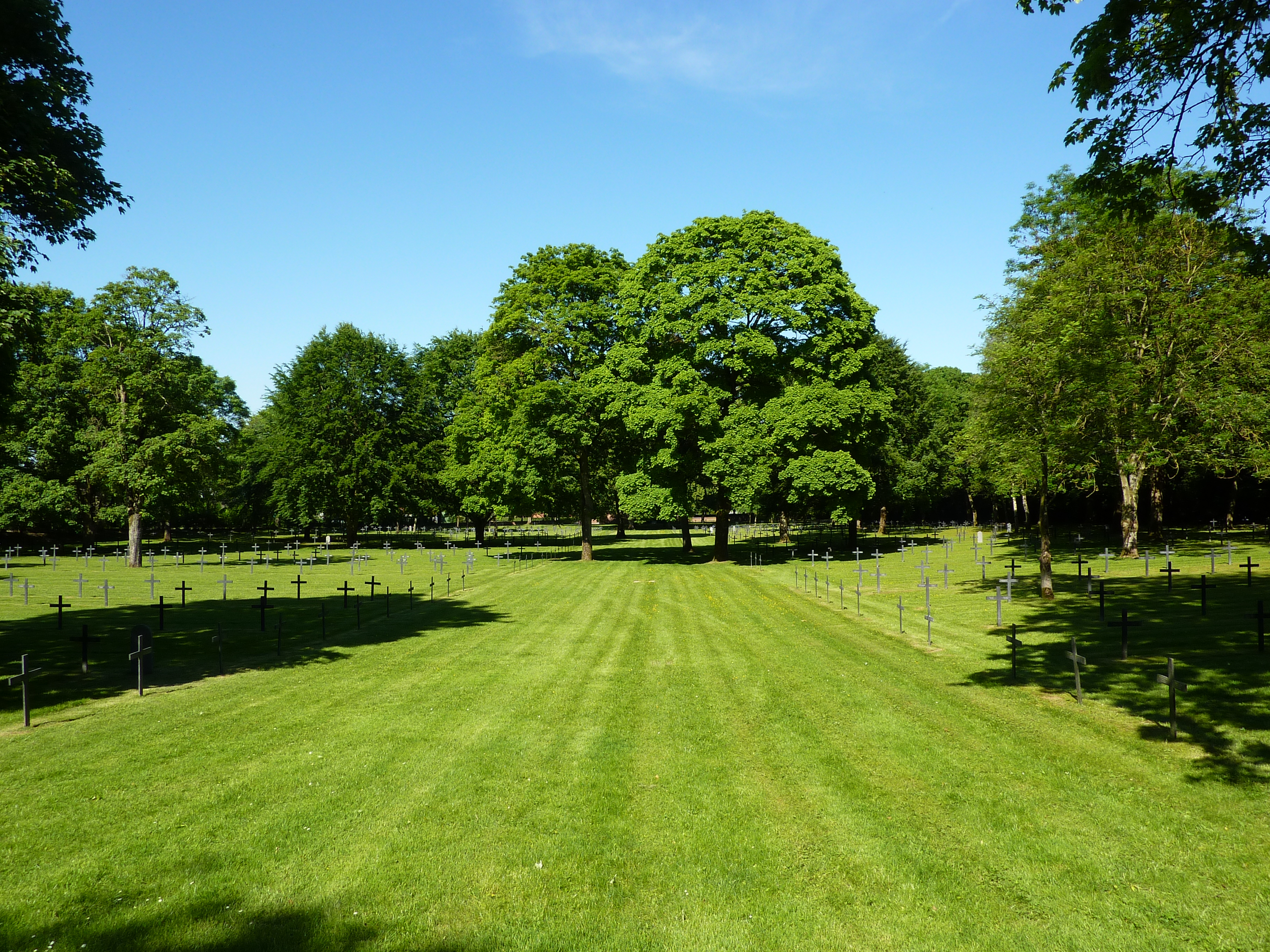
Cimetière militaire allemand de Saint-Quentin
DSC_2248 - 2010 01 04 - Vermand, alentours des roulottes de l'Omignon
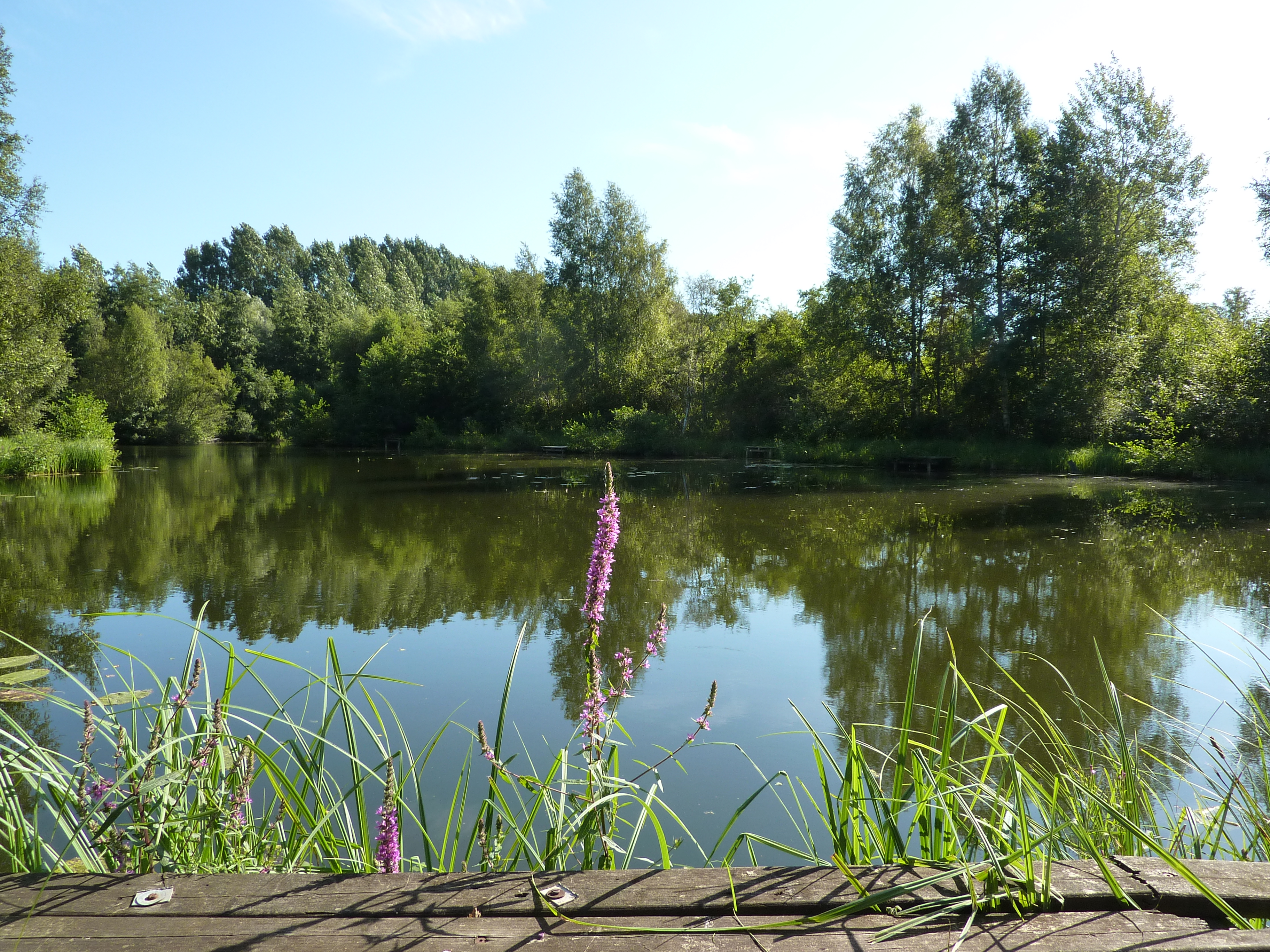
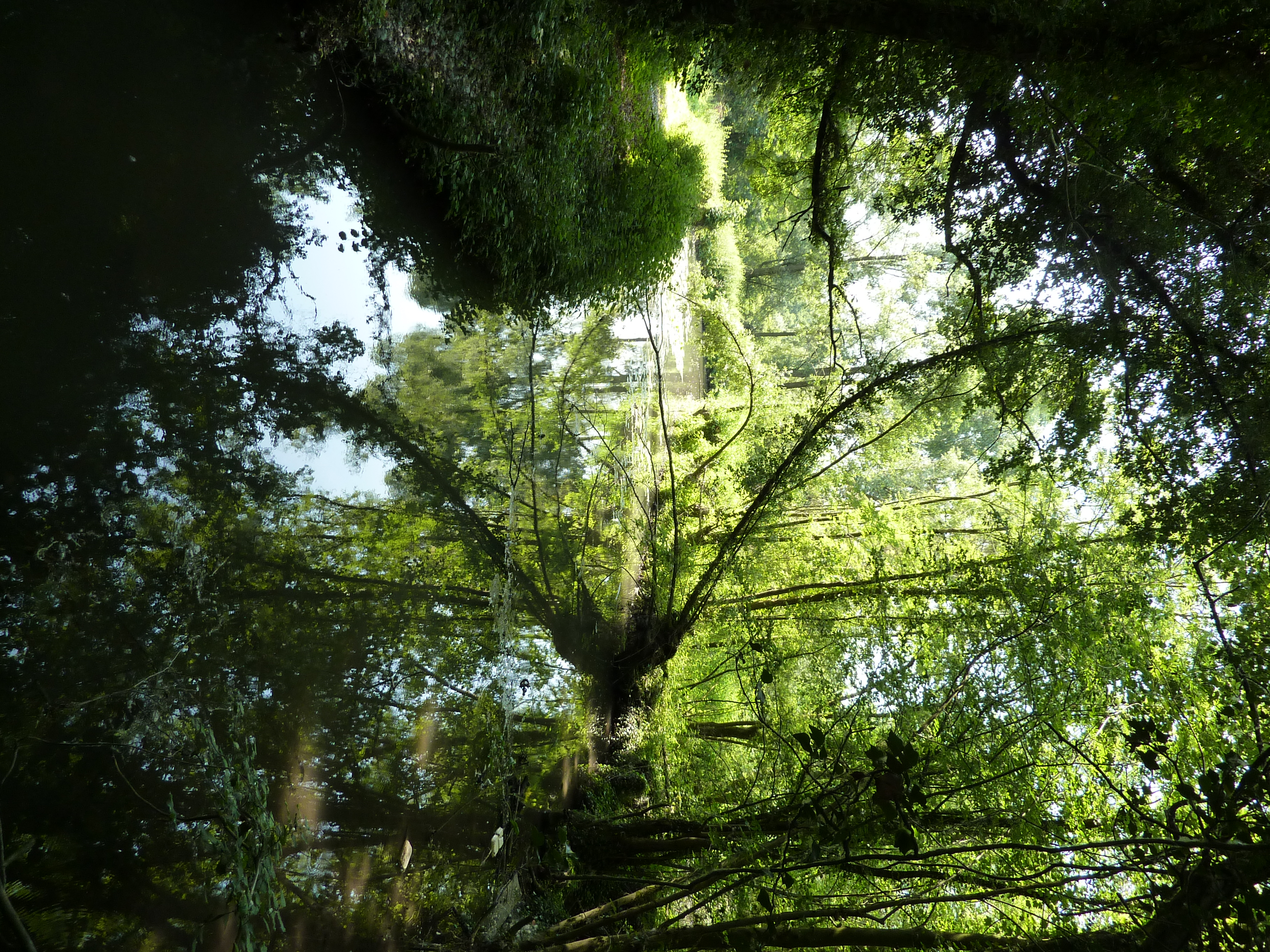
Etang de Seraucourt-le-Grand

Etang de Seraucourt-le-Grand
Manchester Hill, Manchester Hill, Savy, St Quentin, Picardy, France

BB 26008 à Condren (02)
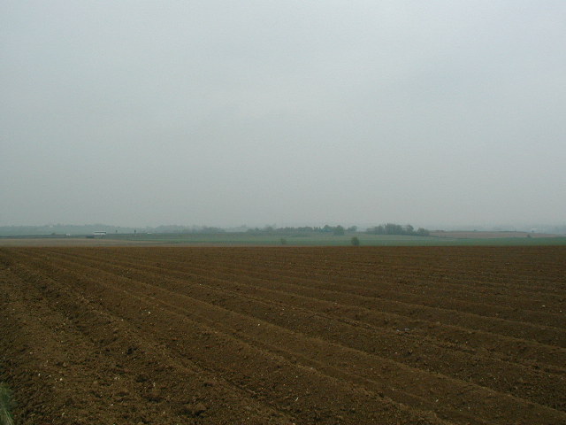
Saint-Quentin - Campagne
Topographic Map of Ollezy, France
Find elevation by address:

Places in Ollezy, France:
Places near Ollezy, France:
25 Rue des Mulquiniers, Ollezy, France
Fluquières
5 Rue du Charron, Fluquières, France
9 Le Plessier Hameau, Villequier-Aumont, France
34 Gr Grande Rue, Guivry, France
Guivry
Villequier-aumont
38 Rue Saint-Nicolas, Flavy-le-Meldeux, France
Flavy-le-meldeux
48 Rue du Moulin, Maucourt, France
Maucourt
7 Rue Robert Guezou, Gauchy, France
19 Rue de Dessous, Manicamp, France
Manicamp
19 Rue Marie de Luxembourg, Ly-Fontaine, France
Ly-fontaine
Tergnier
Gauchy
Urvillers
4b
Recent Searches:
- Elevation of Elwyn Dr, Roanoke Rapids, NC, USA
- Elevation of Congressional Dr, Stevensville, MD, USA
- Elevation of Bellview Rd, McLean, VA, USA
- Elevation of Stage Island Rd, Chatham, MA, USA
- Elevation of Shibuya Scramble Crossing, 21 Udagawacho, Shibuya City, Tokyo -, Japan
- Elevation of Jadagoniai, Kaunas District Municipality, Lithuania
- Elevation of Pagonija rock, Kranto 7-oji g. 8"N, Kaunas, Lithuania
- Elevation of Co Rd 87, Jamestown, CO, USA
- Elevation of Tenjo, Cundinamarca, Colombia
- Elevation of Côte-des-Neiges, Montreal, QC H4A 3J6, Canada