Elevation of Oliver Rd, Monroe, LA, USA
Location: United States > Louisiana > Ouachita Parish > C > Monroe >
Longitude: -92.04214
Latitude: 32.404152
Elevation: -10000m / -32808feet
Barometric Pressure: 295KPa
Elevation Map:
Satellite Map:
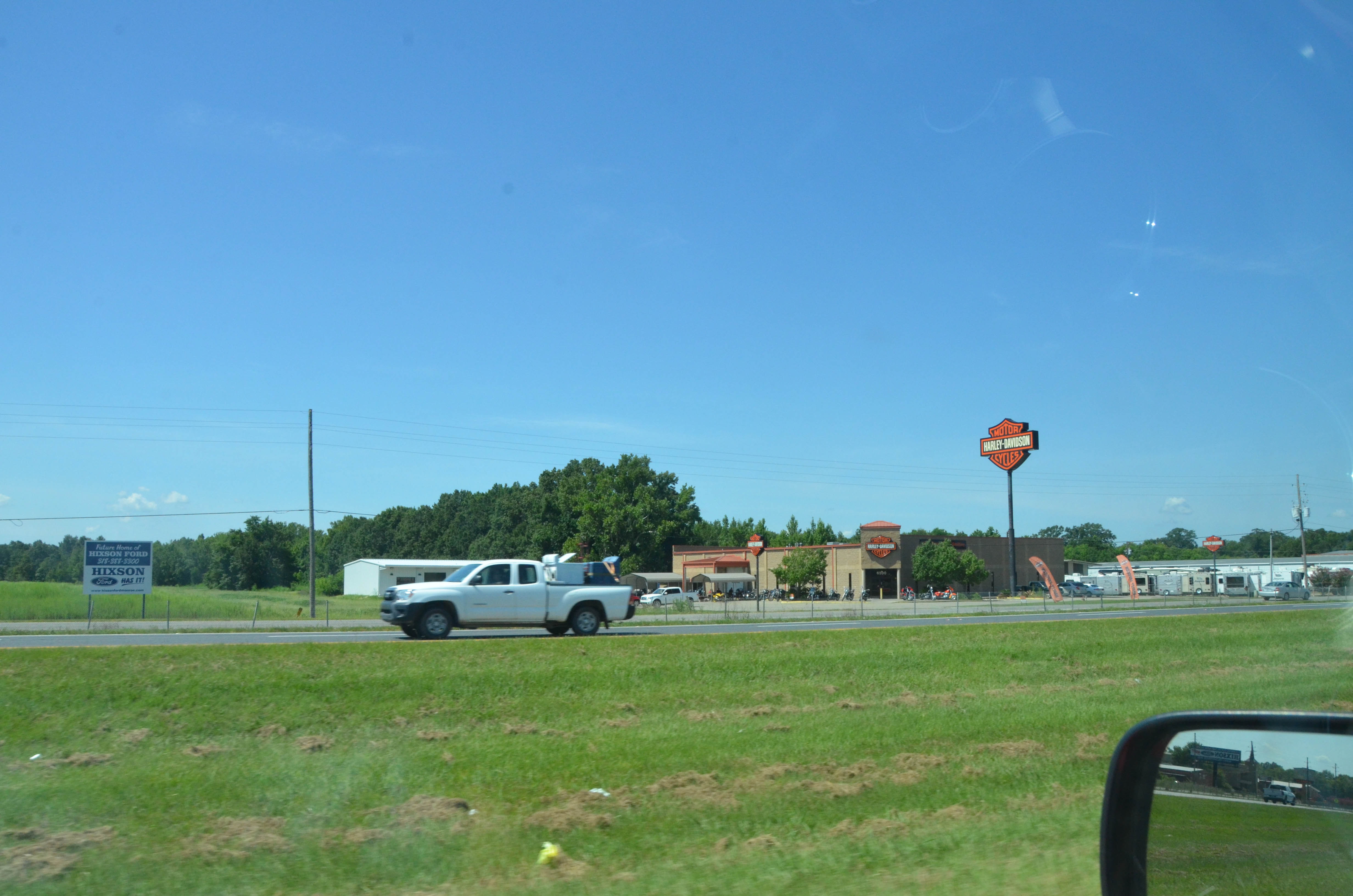
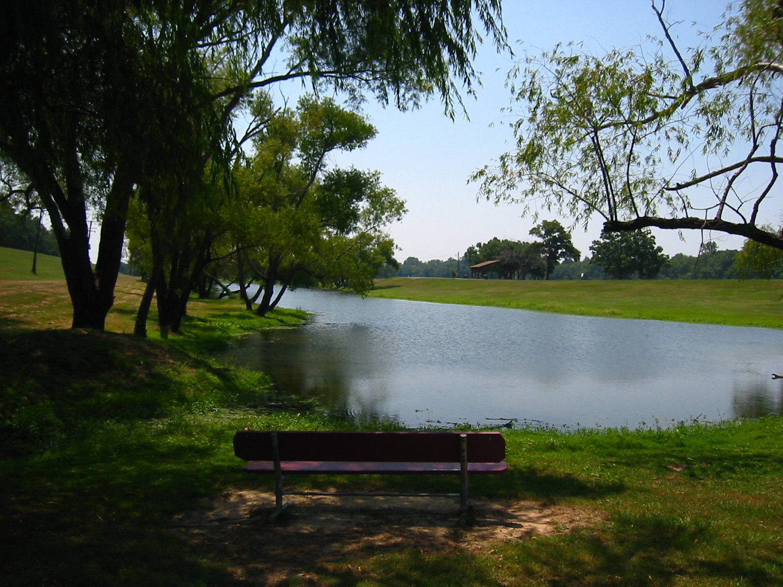
Related Photos:

16/100...Rick

Ouachita River-Deck View

A View from Wesley

A View from Wesley

boat view

on top of the Sky Wheel again

Sky Wheel profile

Lagoon View

top of the Sky Wheel

What a great view to start my day!!!
DSC_7135.jpg

low cu

Cotton Fields

Xmas eve

Looks like lava

ULM Lake\

Monroe LA (6)

the sea wall

#No filter

Monroe Regional Airport

Levels of Purple

IMG_1824.JPG

Purple?

Beautiful day to fly
IMG_1828.JPG

IMGP1526.jpg

Monroe Skyline

Rolling through the flooded delta with the ghosts of Elvis and my youth on my heels

Rainy day

Moon Lake Road

The corn is burning
Topographic Map of Oliver Rd, Monroe, LA, USA
Find elevation by address:

Places near Oliver Rd, Monroe, LA, USA:
326 Crawford Rd
252 Crawford Rd
252 Crawford Rd
D
Parish Governing Authority District F
Austin St, Monroe, LA, USA
32 Greenfield Dr, Monroe, LA, USA
2600 Philpot Rd
Nevada Dr, Monroe, LA, USA
4203 Booker St
5403 Operations Rd
Interstate 20
1208 Powell Ave
205 S 4th St
500 Coleman Ave
100 Commerce St Block M
Commerce Street
1 Olive St
Warehouse No 1 Restaurant
University Of Louisiana Monroe
Recent Searches:
- Elevation of Rojo Ct, Atascadero, CA, USA
- Elevation of Flagstaff Drive, Flagstaff Dr, North Carolina, USA
- Elevation of Avery Ln, Lakeland, FL, USA
- Elevation of Woolwine, VA, USA
- Elevation of Lumagwas Diversified Farmers Multi-Purpose Cooperative, Lumagwas, Adtuyon, RV32+MH7, Pangantucan, Bukidnon, Philippines
- Elevation of Homestead Ridge, New Braunfels, TX, USA
- Elevation of Orchard Road, Orchard Rd, Marlborough, NY, USA
- Elevation of 12 Hutchinson Woods Dr, Fletcher, NC, USA
- Elevation of Holloway Ave, San Francisco, CA, USA
- Elevation of Norfolk, NY, USA