Elevation of Old Port Gibson Rd, Edwards, MS, USA
Location: United States > Mississippi > Hinds County > Edwards >
Longitude: -90.572507
Latitude: 32.220562
Elevation: 52m / 171feet
Barometric Pressure: 101KPa
Elevation Map:
Satellite Map:
Related Photos:

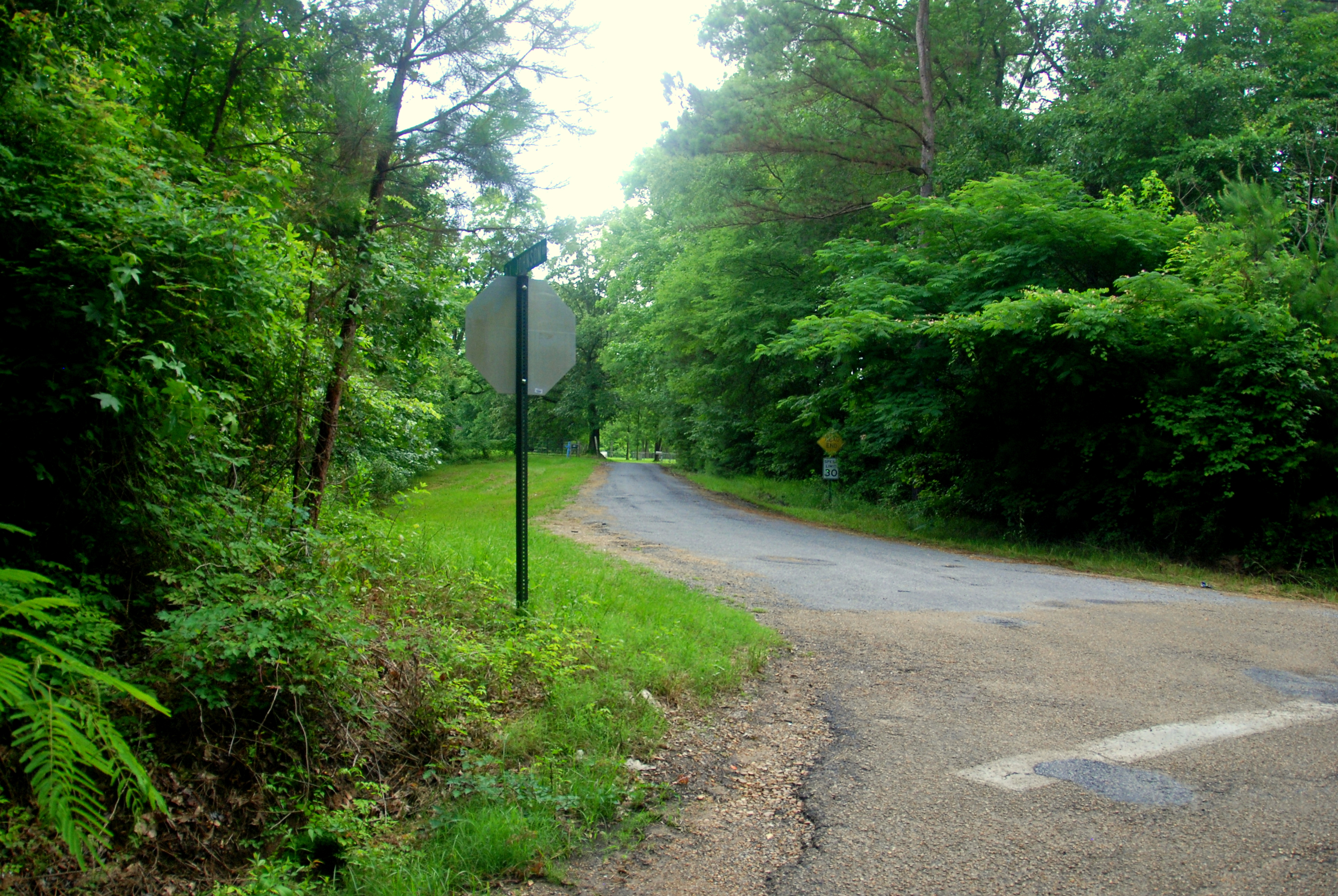
A View to the Crossroads
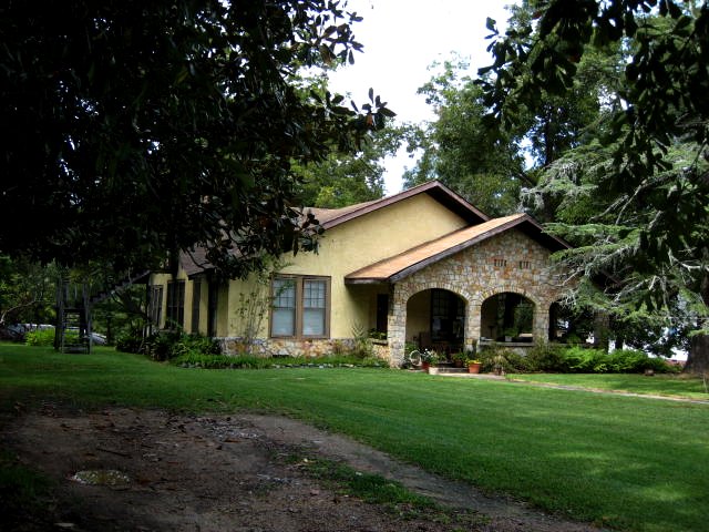
another view of that arts-and-crafts style house
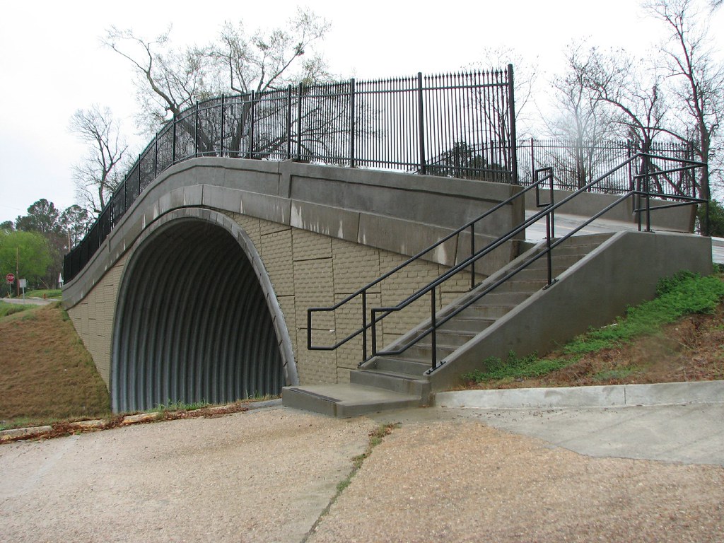
Side View-Withers St Bridge
Raymond Battlefield

No Title

No Title

_DSC0059_HDR.jpg

Tonight's sunset. It doesn't look near as pretty in this picture as it actually was.

This picture doesn't do tonight's beautiful sunset justice.

Sunset 20060729.191515
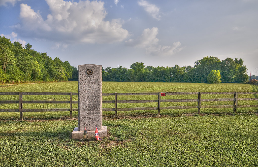
Texas Monument at 14 Mile Creek
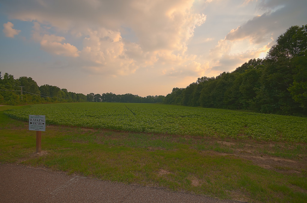
The Crossroads Today

Natchez Trace Mileage

wild iris, detail

57ford, 56 or 57 olds, (2) 58 chevys

wild irises
1968-Vicksburg Campaign-Raymond
2007-Vicksburg Campaign-Champion Hill Battlefield

Battlefield at Raymond
Topographic Map of Old Port Gibson Rd, Edwards, MS, USA
Find elevation by address:

Places near Old Port Gibson Rd, Edwards, MS, USA:
402 Royal St
Edwards
4930 Neil Collins Rd
4175 Oakley Palestine Rd
Raymond
Duke
Hinds County
Airport Road
1745 Misty Ln
N Midway Rd, Raymond, MS, USA
Clinton Raymond Road
1475 Timberlane Dr
Halls Ferry Rd, Vicksburg, MS, USA
411 Concord Dr
220 Midway Estates Dr
Mississippi High School Activities Association
Red Oak Rd, Clinton, MS, USA
303 Us-80
Mississippi College
Rocky Springs
Recent Searches:
- Elevation of Corso Fratelli Cairoli, 35, Macerata MC, Italy
- Elevation of Tallevast Rd, Sarasota, FL, USA
- Elevation of 4th St E, Sonoma, CA, USA
- Elevation of Black Hollow Rd, Pennsdale, PA, USA
- Elevation of Oakland Ave, Williamsport, PA, USA
- Elevation of Pedrógão Grande, Portugal
- Elevation of Klee Dr, Martinsburg, WV, USA
- Elevation of Via Roma, Pieranica CR, Italy
- Elevation of Tavkvetili Mountain, Georgia
- Elevation of Hartfords Bluff Cir, Mt Pleasant, SC, USA