Elevation of Old, Pleasanton, TX, USA
Location: United States > Texas > Atascosa County >
Longitude: -98.484763
Latitude: 29.0731842
Elevation: 145m / 476feet
Barometric Pressure: 100KPa
Elevation Map:
Satellite Map:
Related Photos:
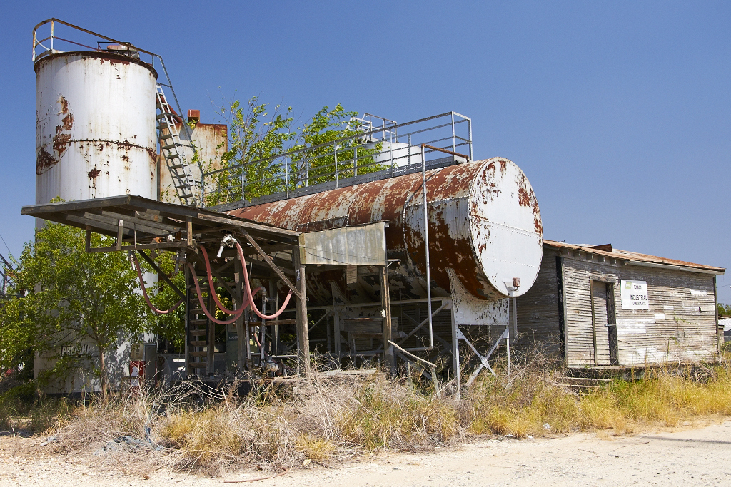
Fuel Depot

road less traveled
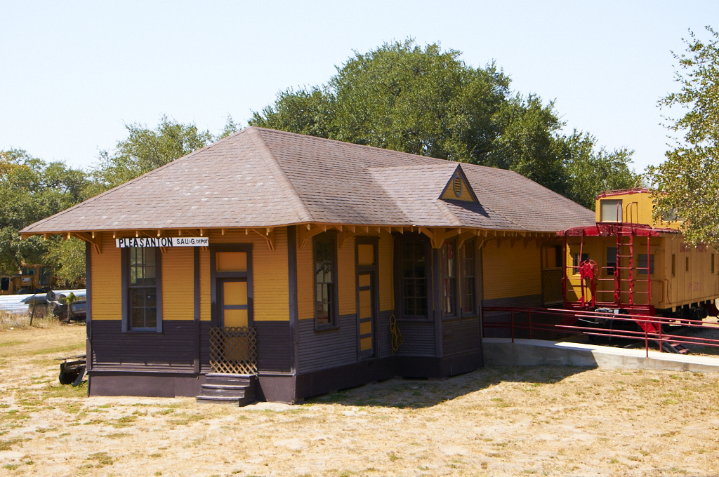
Train Depot

Double strut

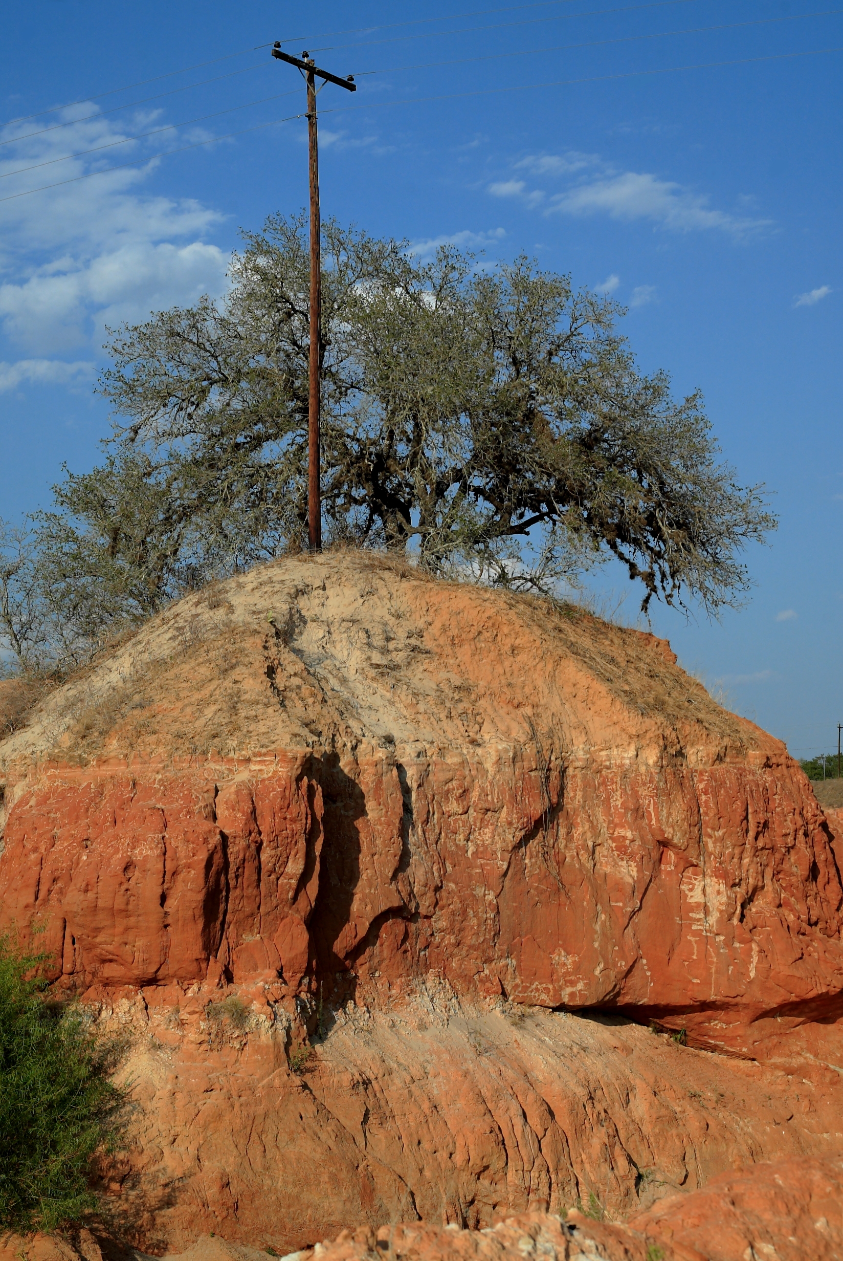
Texas Landscape

STex-10
Tree in quarry next to hwy 16

STex-11

Spring Mix

STex-7

STex-5

Bluebonnets and Prairie Verbena

Wildflower Vortex

Atascosa River

Pleasanton Country Club

scout2-8

scout2-10

scout2-7

scout2-9

scout2-11

STex-6
Topographic Map of Old, Pleasanton, TX, USA
Find elevation by address:

Places near Old, Pleasanton, TX, USA:
Leming
6030 Fm1470
US-, Pleasanton, TX, USA
Poteet
Pleasanton
1507 Kimberly Cir
FM, San Antonio, TX, USA
1460 Martinez Losoya Rd
Jourdanton
Zanderson Ave, Jourdanton, TX, USA
Savannah Woods
FM, Jourdanton, TX, USA
Pleasanton Rd, San Antonio, TX, USA
Southside
Atascosa County
Somerset
Texas A&m University-san Antonio
FM, Jourdanton, TX, USA
Somerset Rd, Von Ormy, TX, USA
Brown Rd, Poteet, TX, USA
Recent Searches:
- Elevation of Kreuzburger Weg 13, Düsseldorf, Germany
- Elevation of Gateway Blvd SE, Canton, OH, USA
- Elevation of East W.T. Harris Boulevard, E W.T. Harris Blvd, Charlotte, NC, USA
- Elevation of West Sugar Creek, Charlotte, NC, USA
- Elevation of Wayland, NY, USA
- Elevation of Steadfast Ct, Daphne, AL, USA
- Elevation of Lagasgasan, X+CQH, Tiaong, Quezon, Philippines
- Elevation of Rojo Ct, Atascadero, CA, USA
- Elevation of Flagstaff Drive, Flagstaff Dr, North Carolina, USA
- Elevation of Avery Ln, Lakeland, FL, USA