Elevation of Old Pee Dee Rd, Hemingway, SC, USA
Location: United States > South Carolina > Georgetown County > Hemingway >
Longitude: -79.303428
Latitude: 33.7014128
Elevation: 12m / 39feet
Barometric Pressure: 101KPa
Elevation Map:
Satellite Map:
Related Photos:

LK_20000900-0003-sm-3
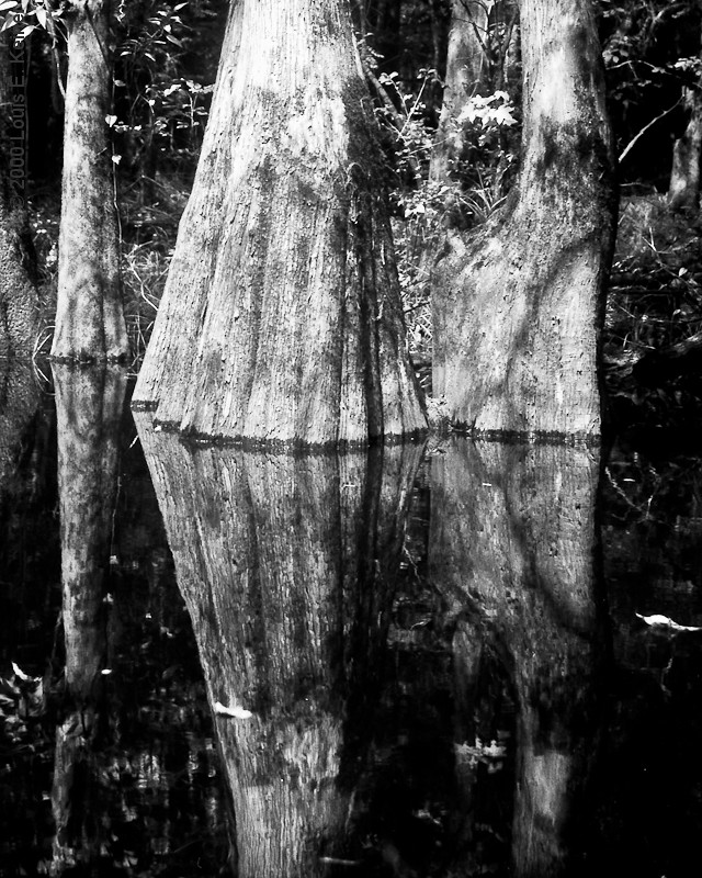
LK_20000900-0003-sm
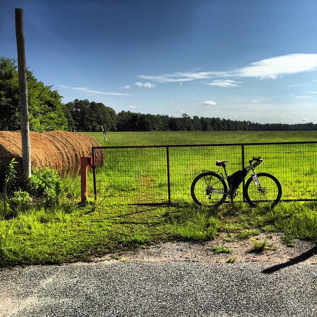
#bicycle #adventurebybike #enjoyeverymile #salsafargo #bike #enjoytheride
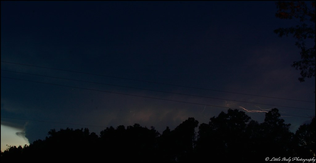
Summer Lightning!
Hemingway, SC
Hemingway, SC
Hemingway, SC
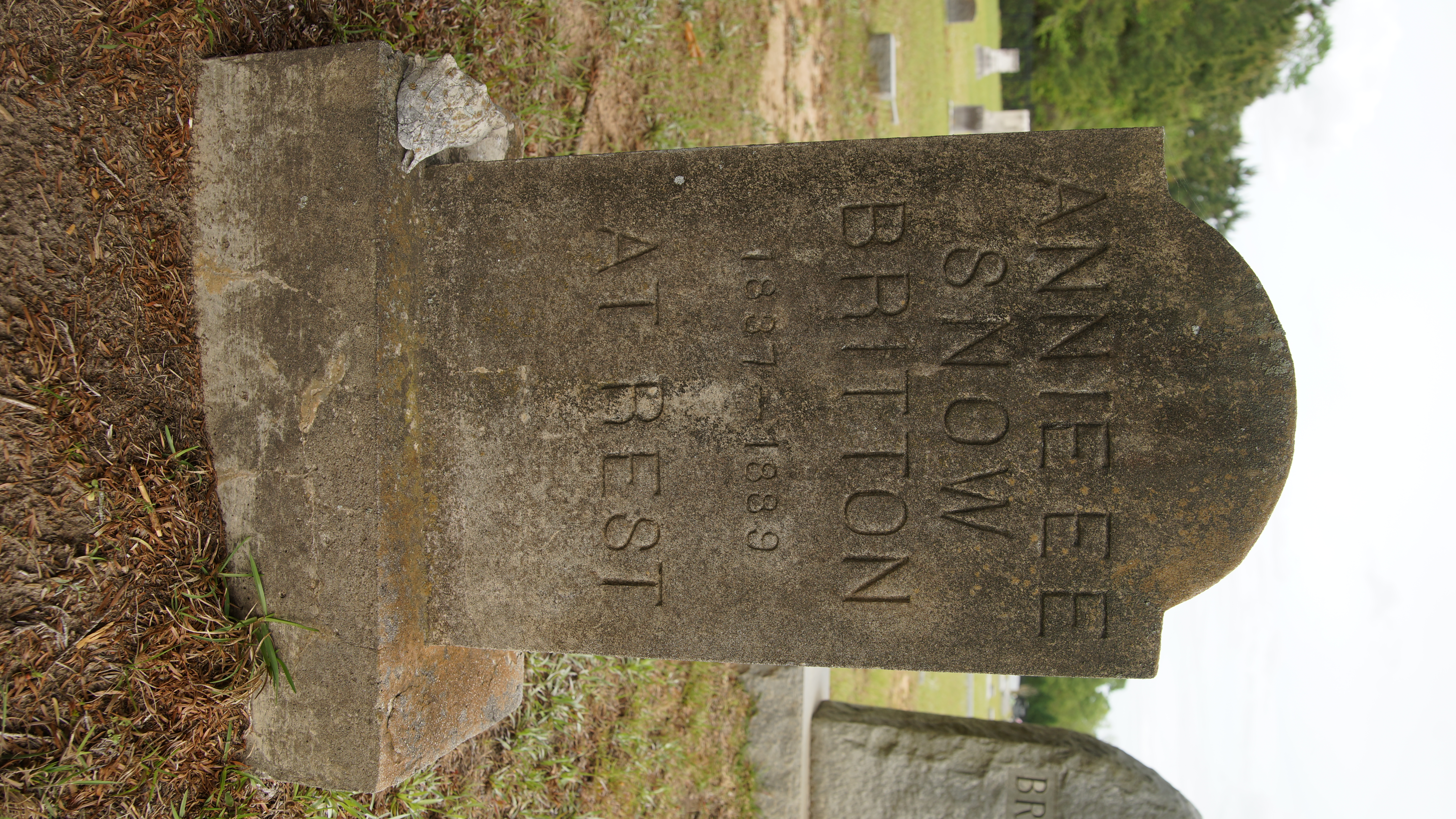
South Carolina annie snow britton my relative
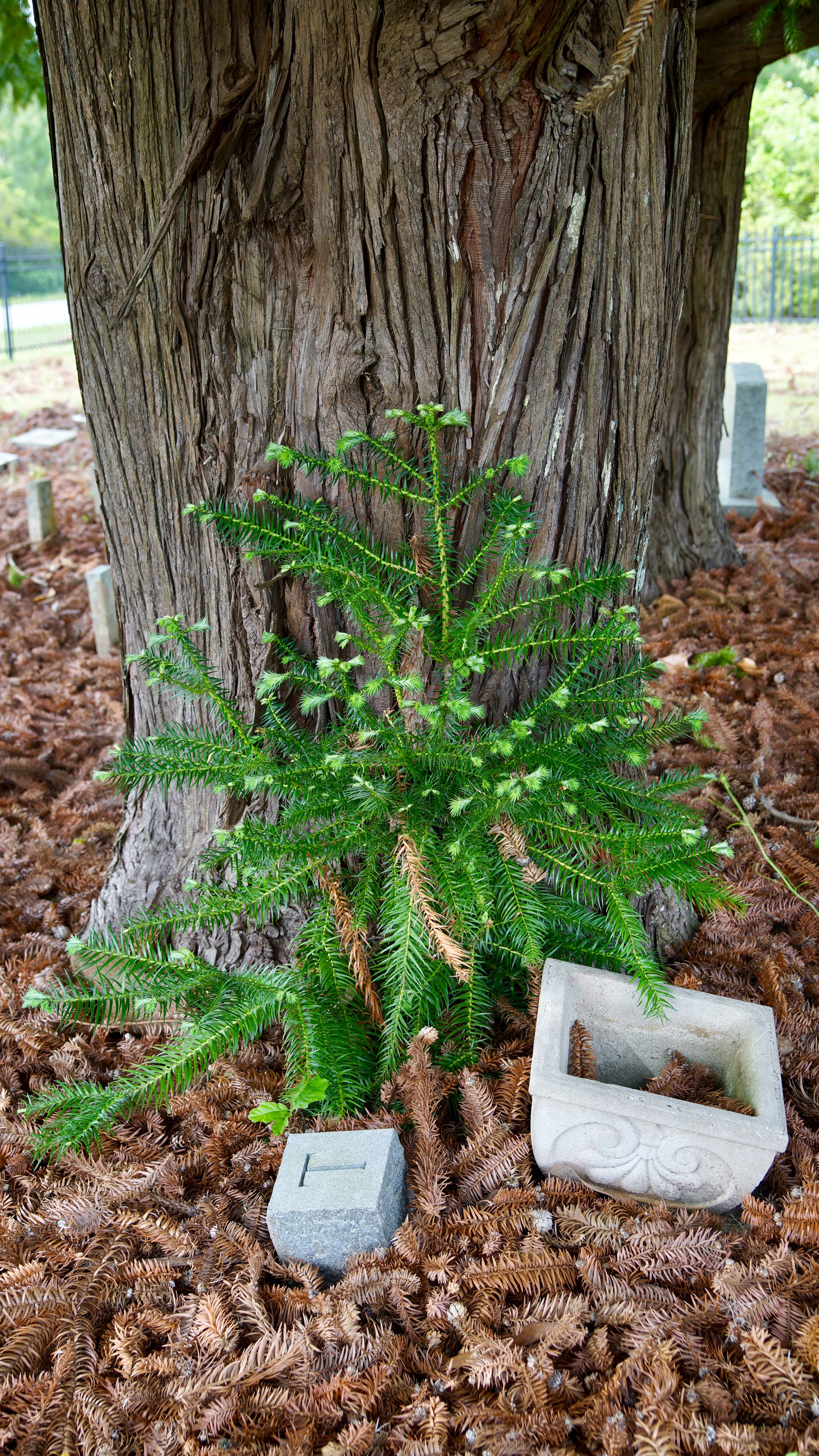
South Carolina very old huge evergreen
South Carolina
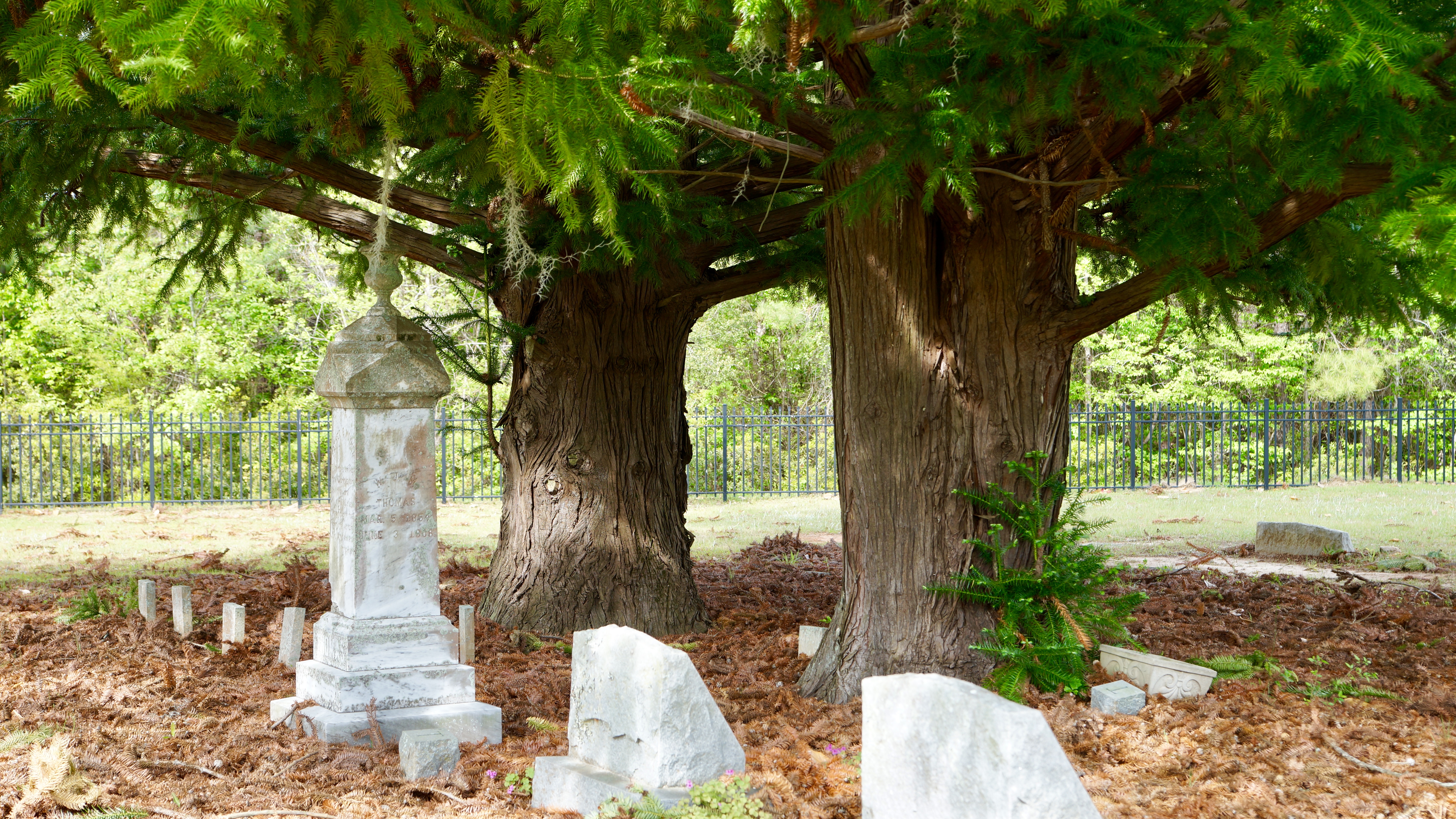
South Carolina huge old evergreen trees
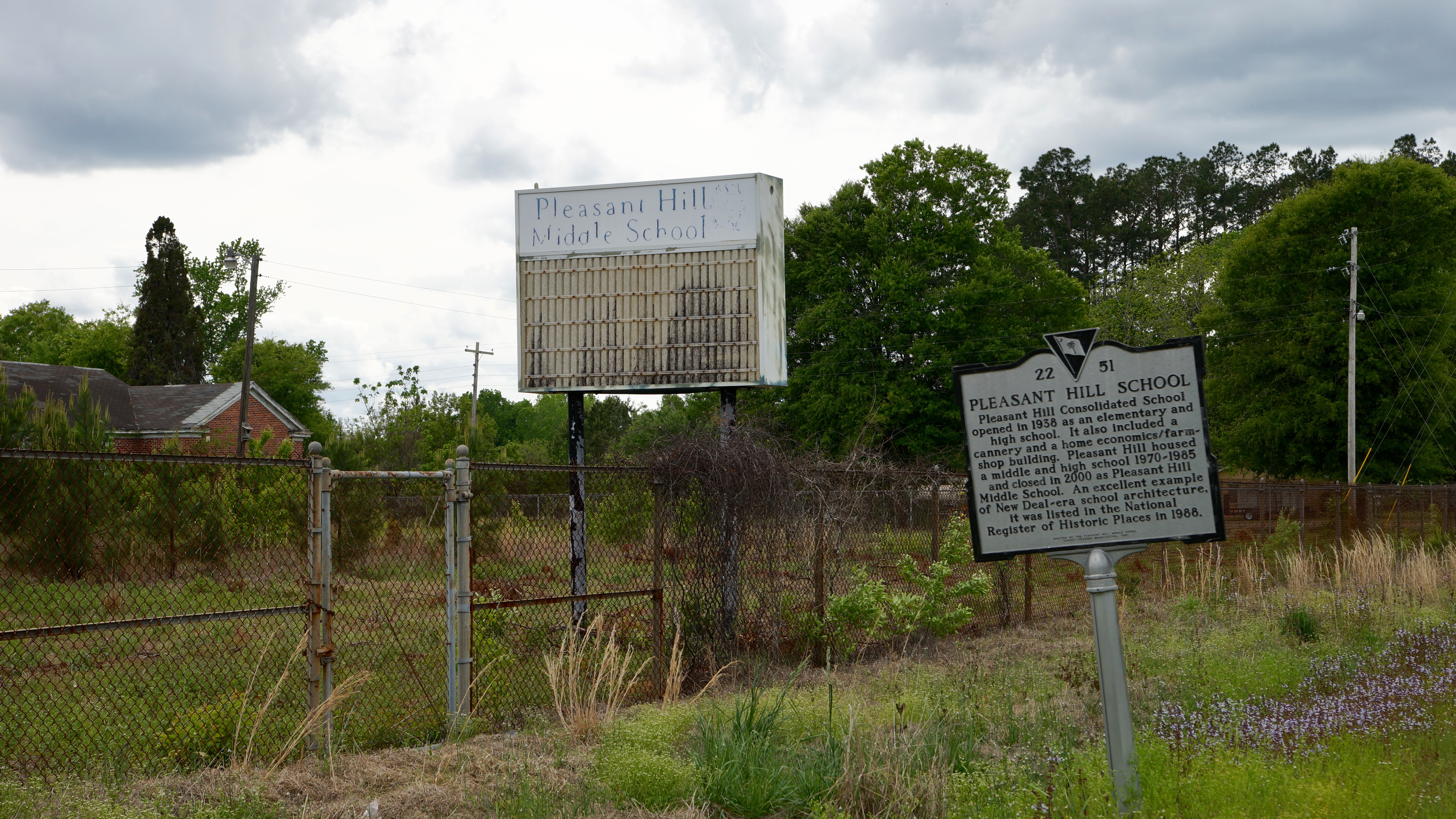
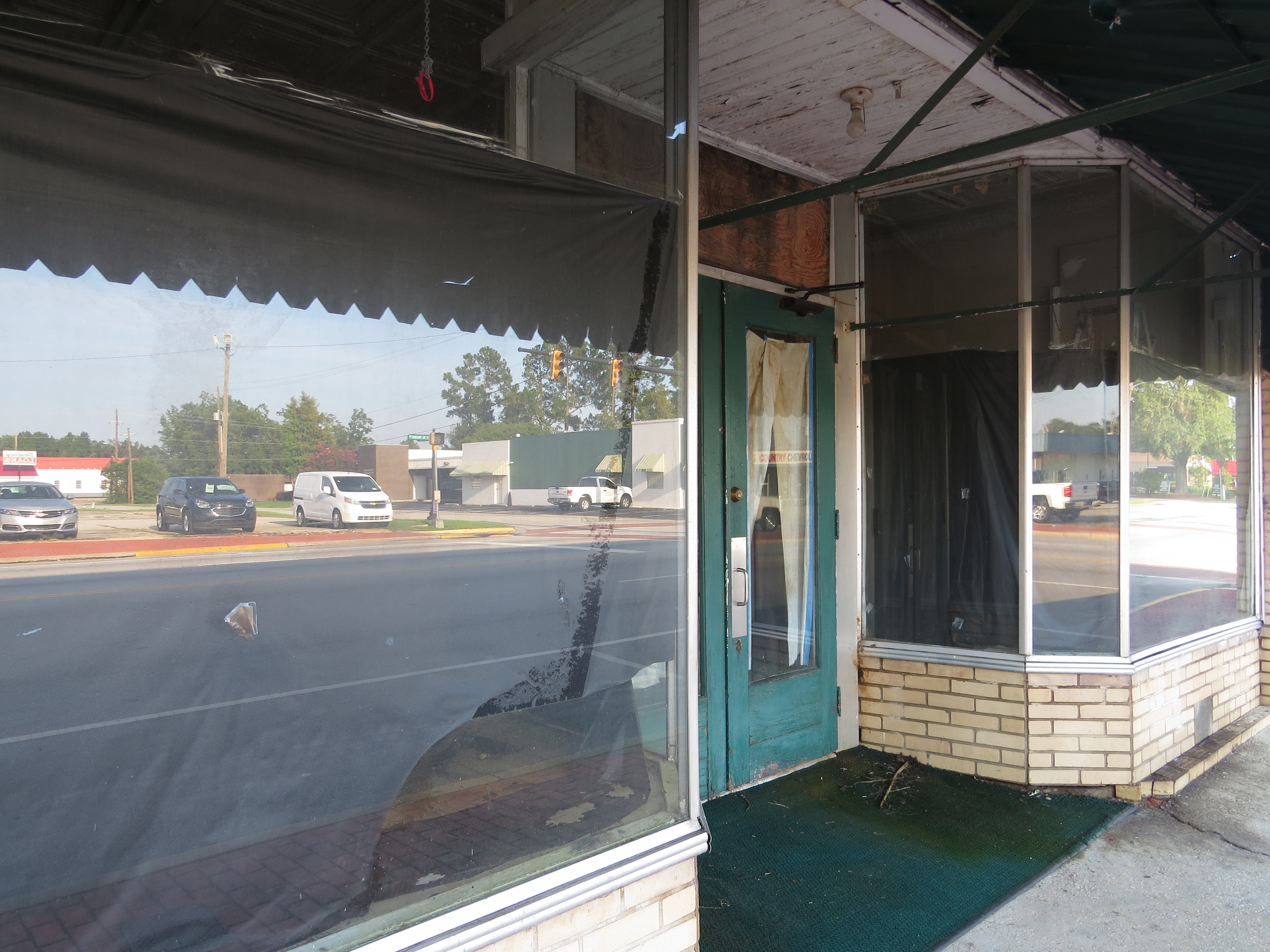
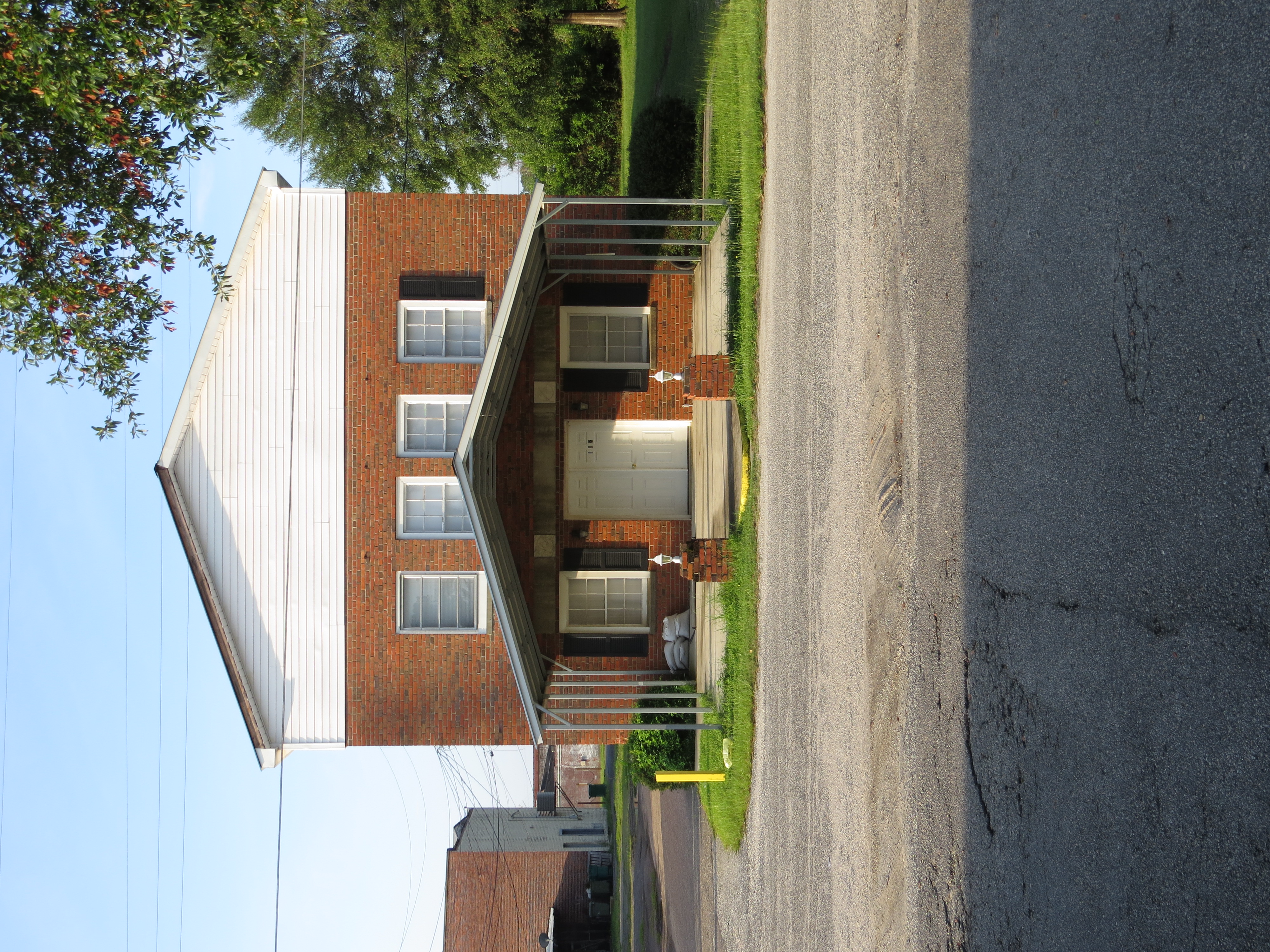
South Carolina abandoned pleasant hill school Georgetown County
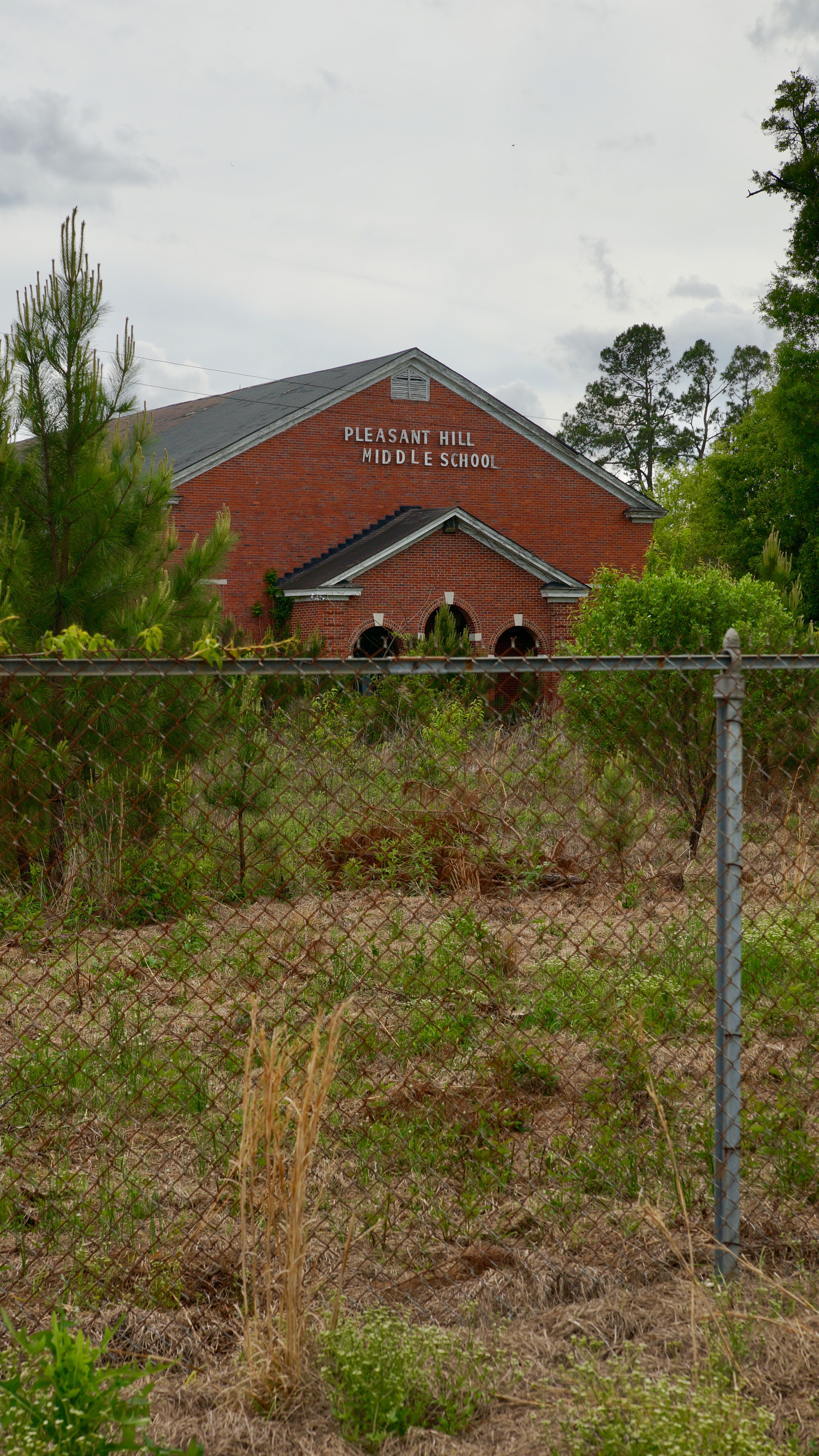
South Carolina abandoned pleasant hill school Georgetown County
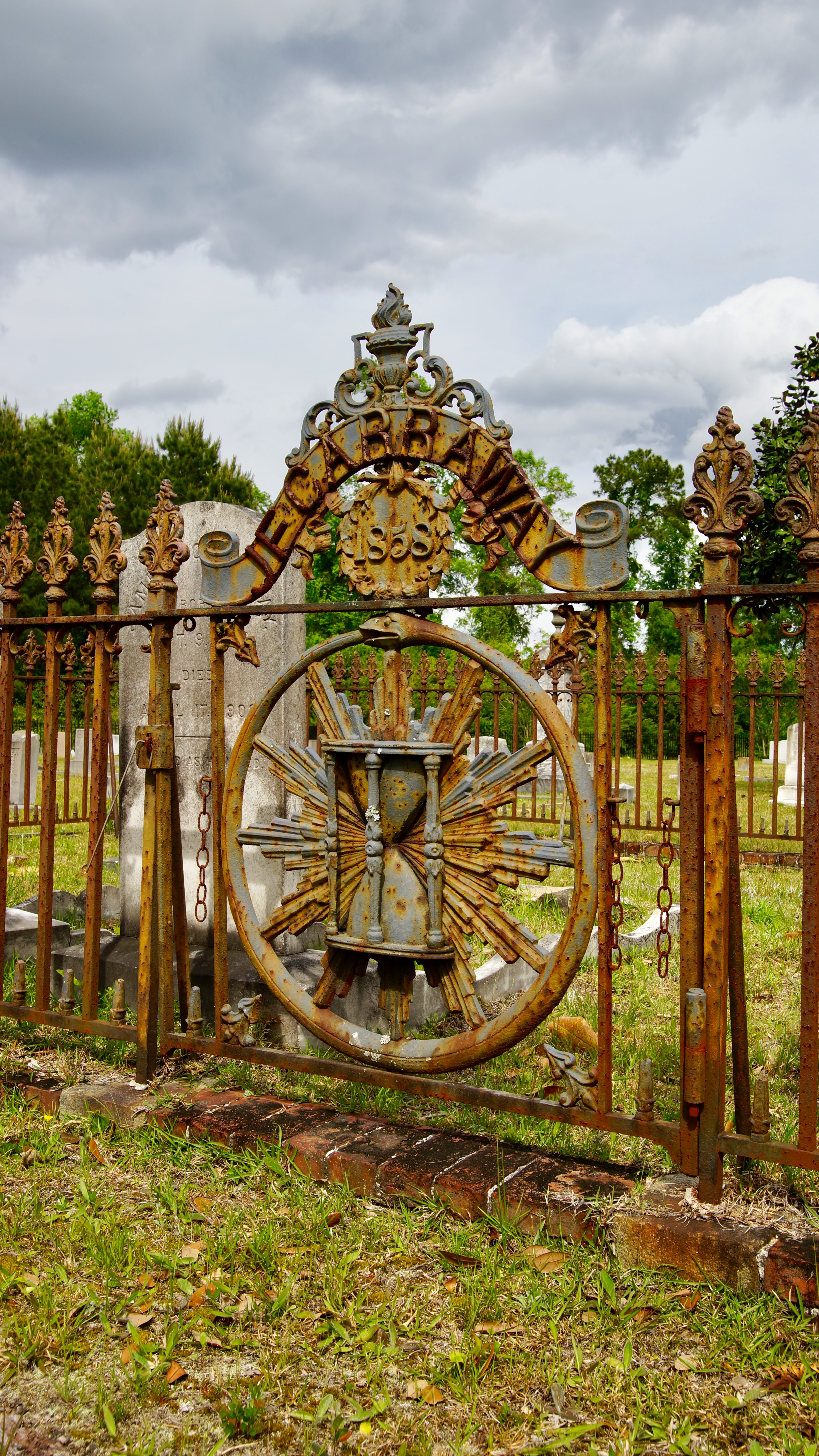
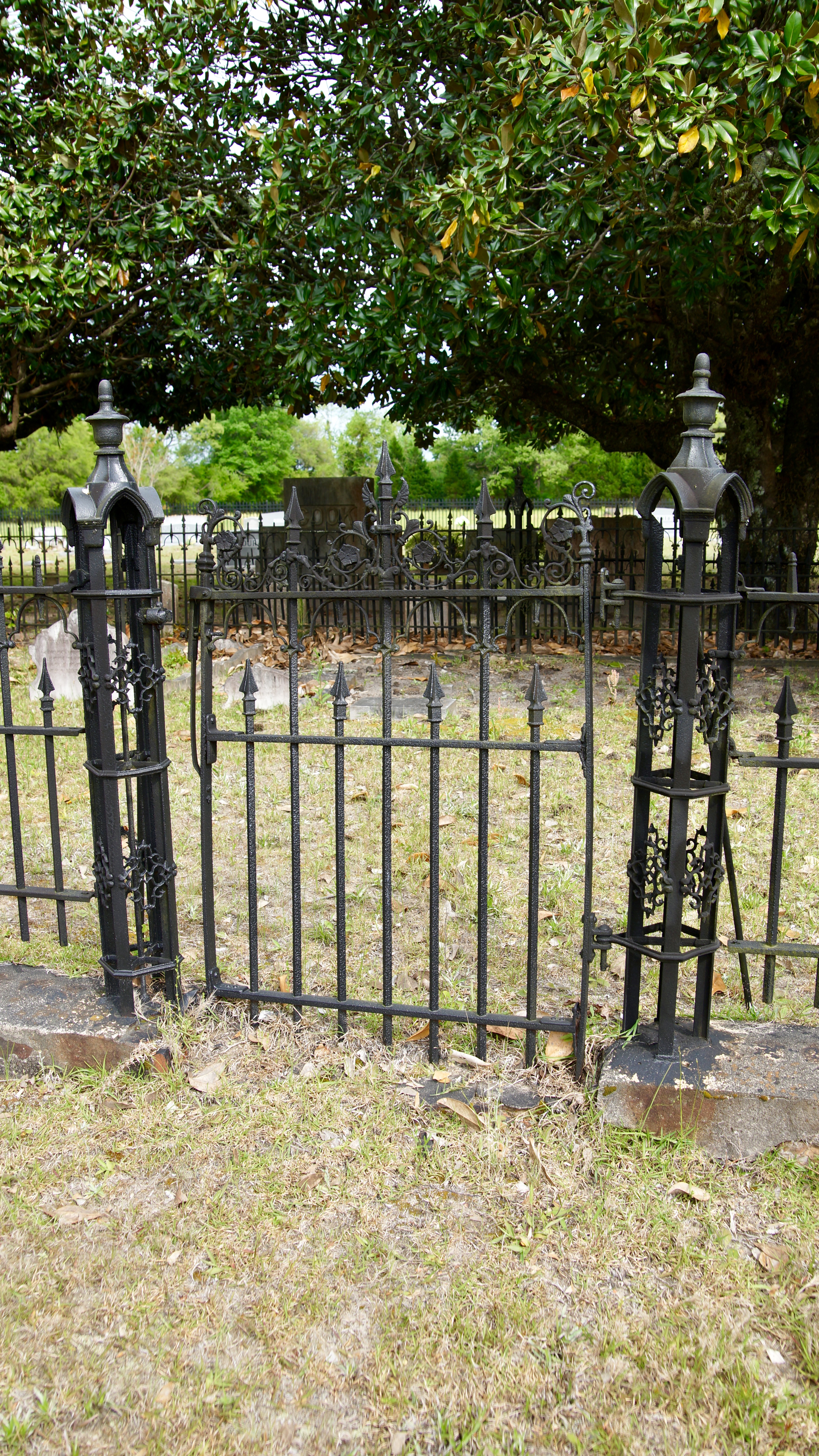
South Carolina J F Carraway 1858 gate
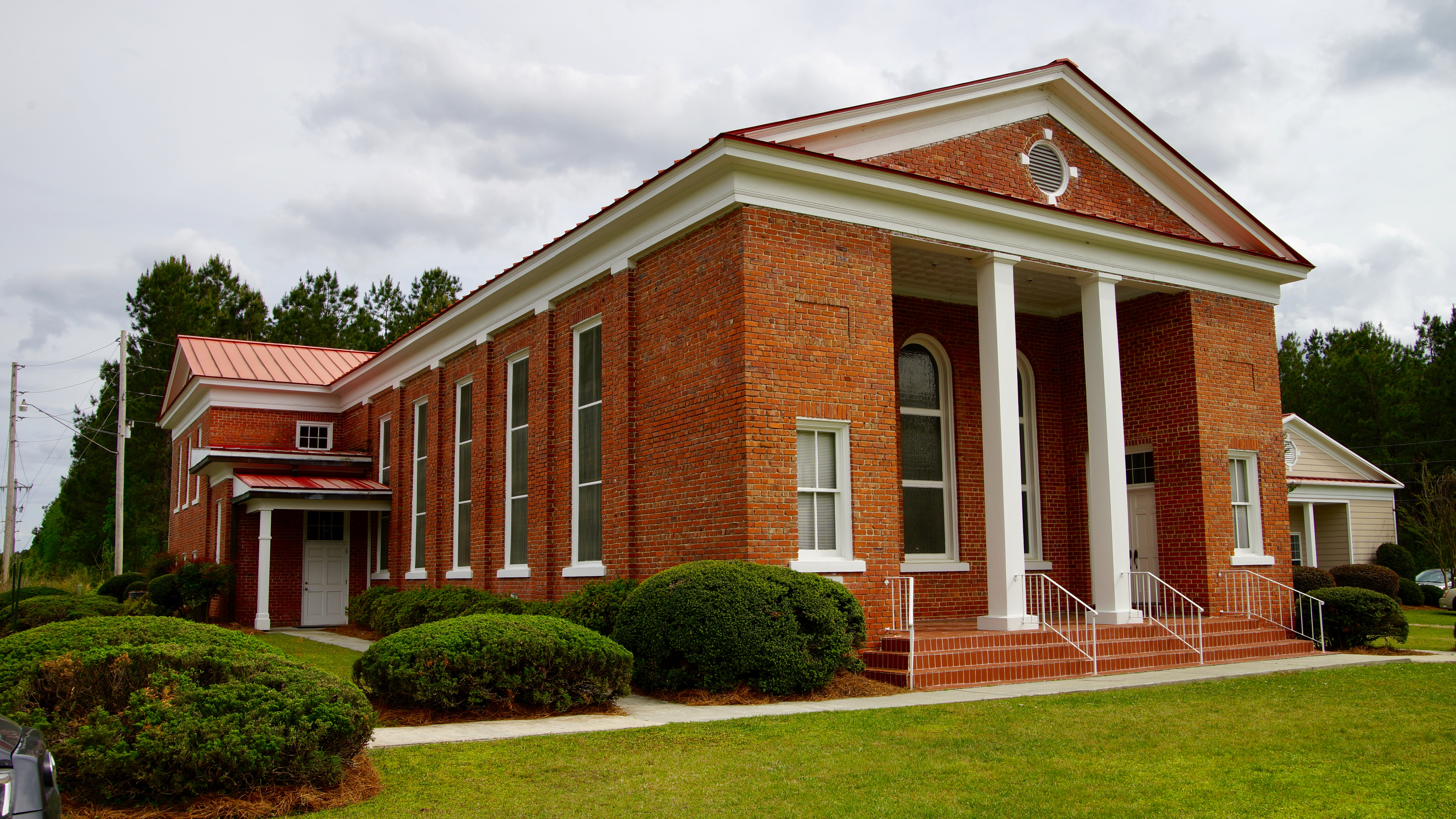
South Carolina Old Methodist church Georgetown County
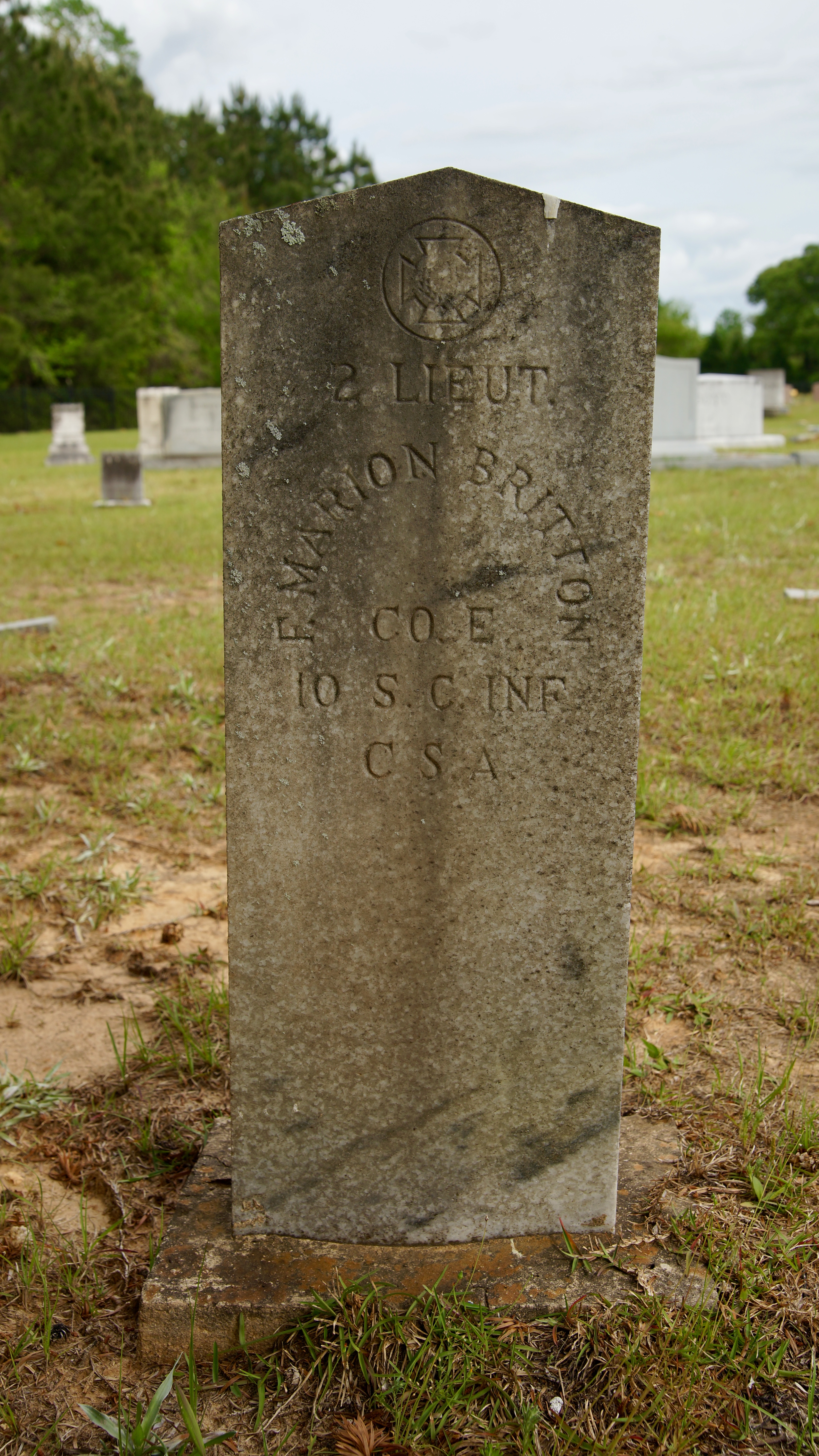
South Carolina Francis Marion Britton my Relative
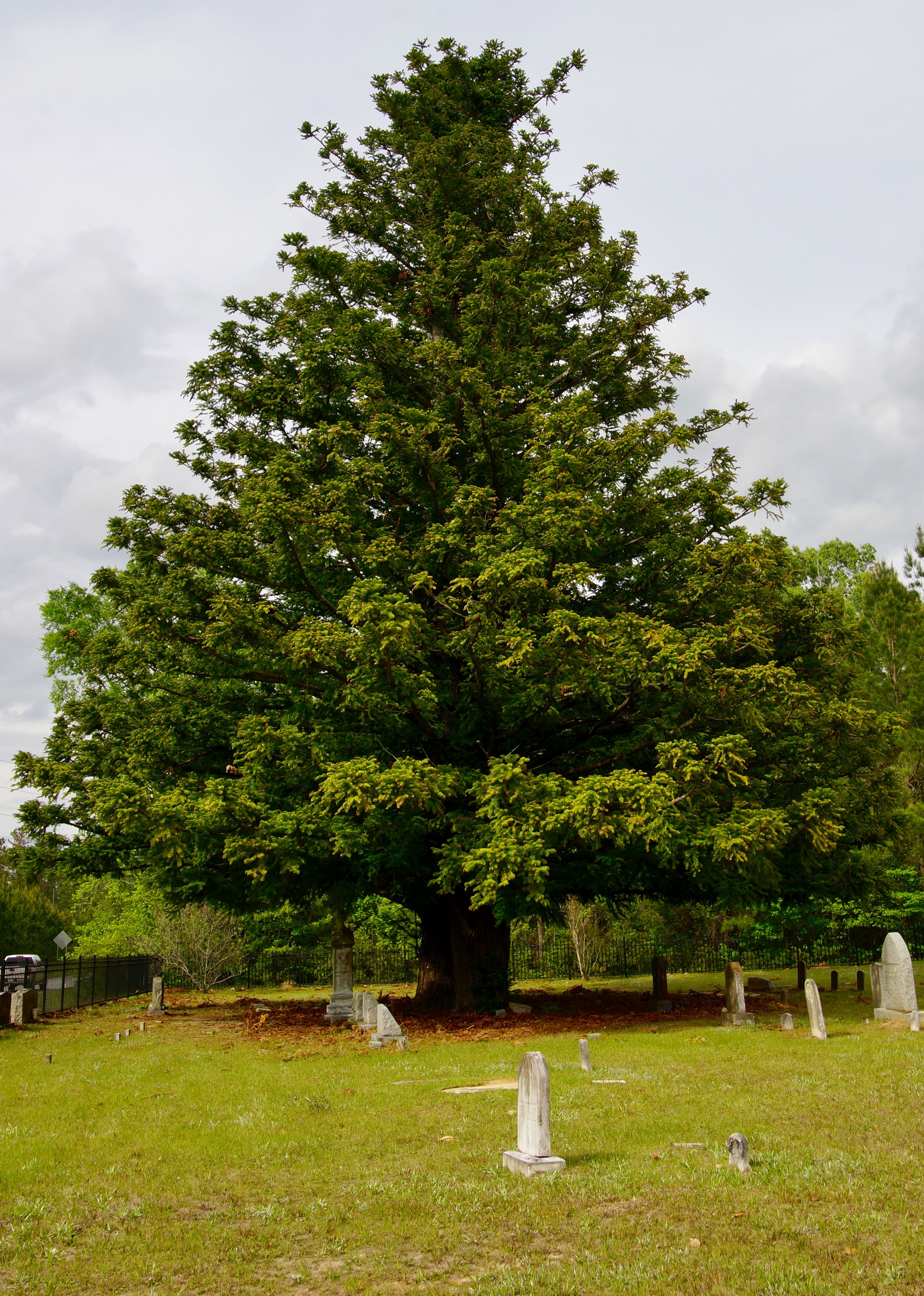
South Carolina Siri huge old evergreen trees
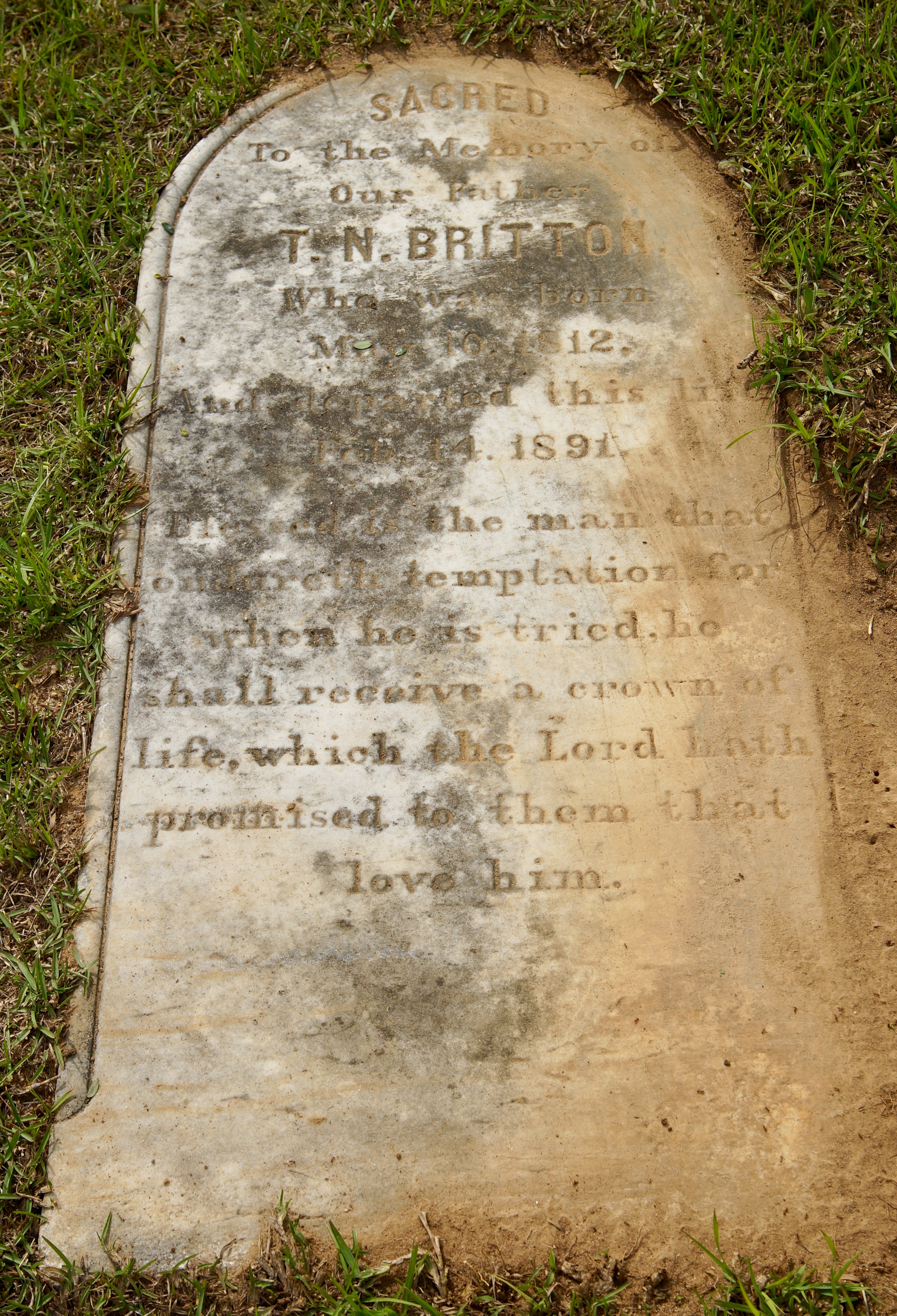
South Carolina T N Britton 3rd great grandfather
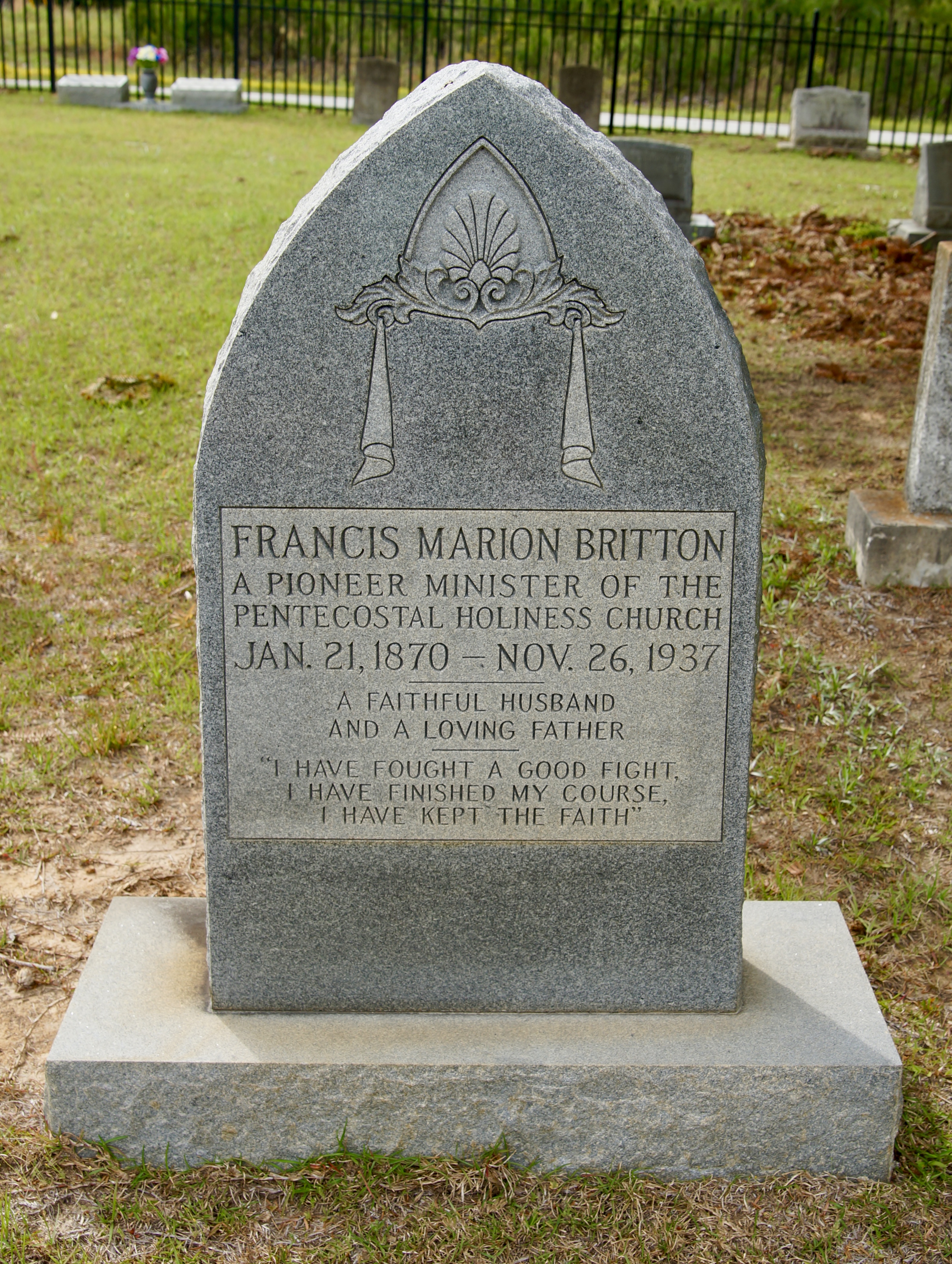
South Carolina Francis Marion Britton my relative
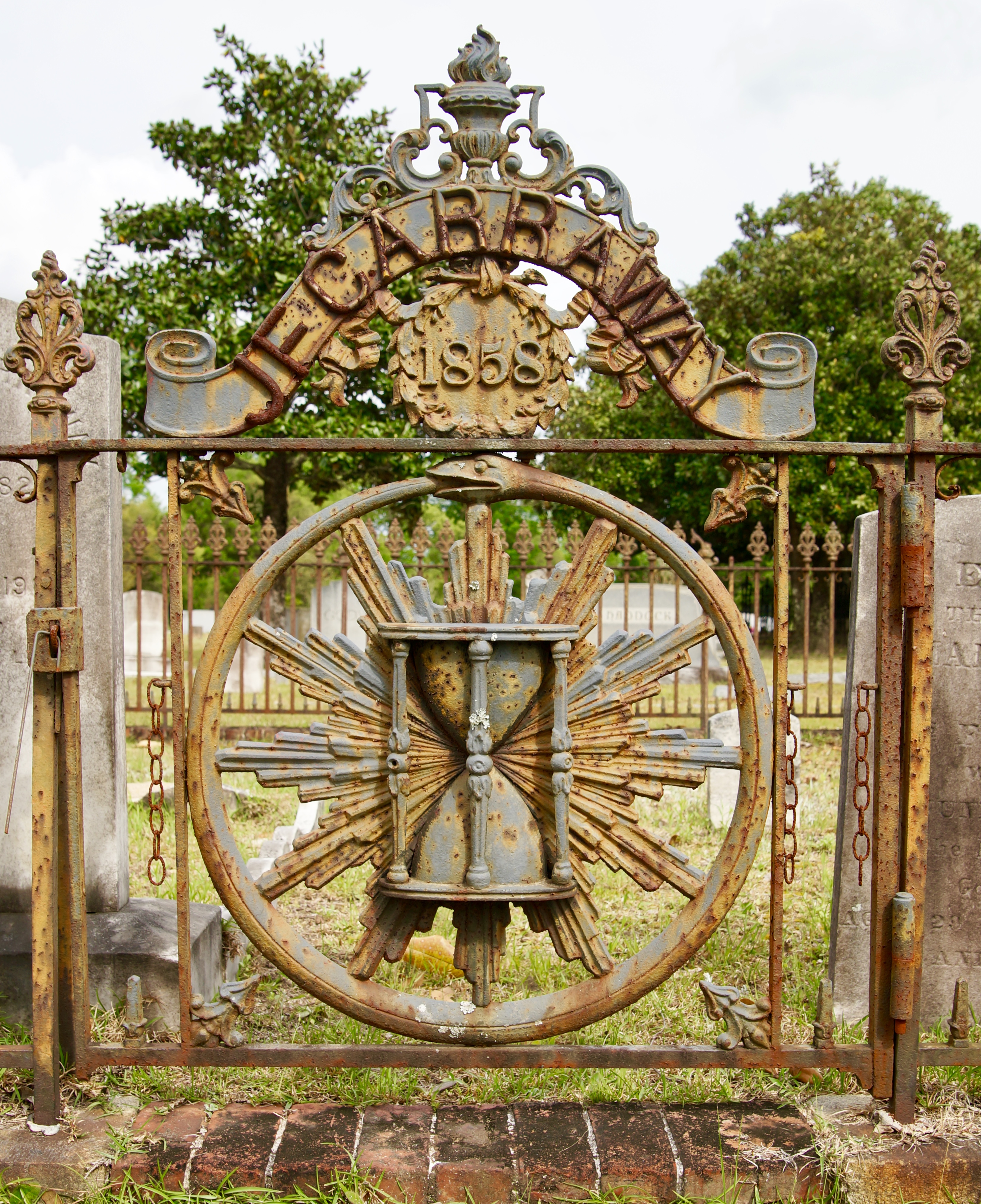
South Carolina J F Carraway 1858 gate

South Carolina abandoned pleasant hill school Georgetown County
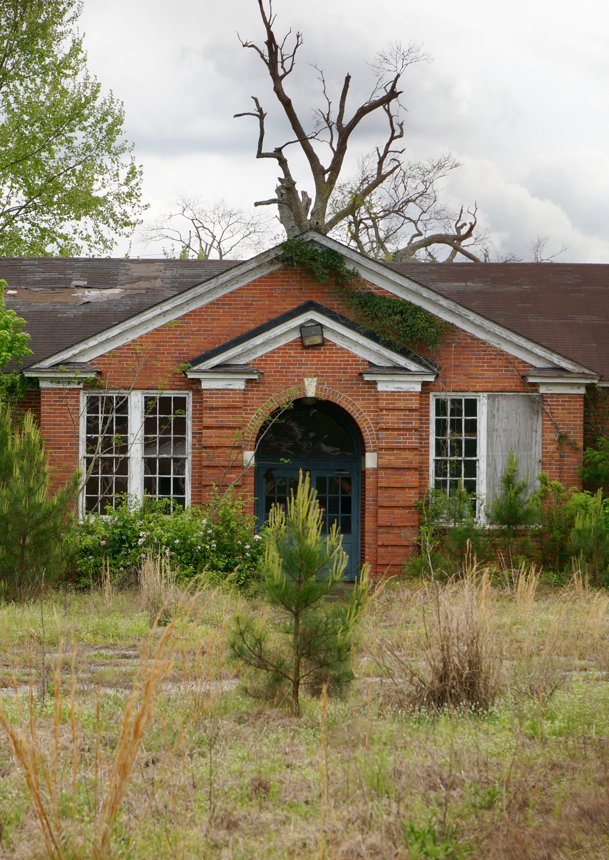
Pleasant hill abandoned school Georgetown County South Carolina
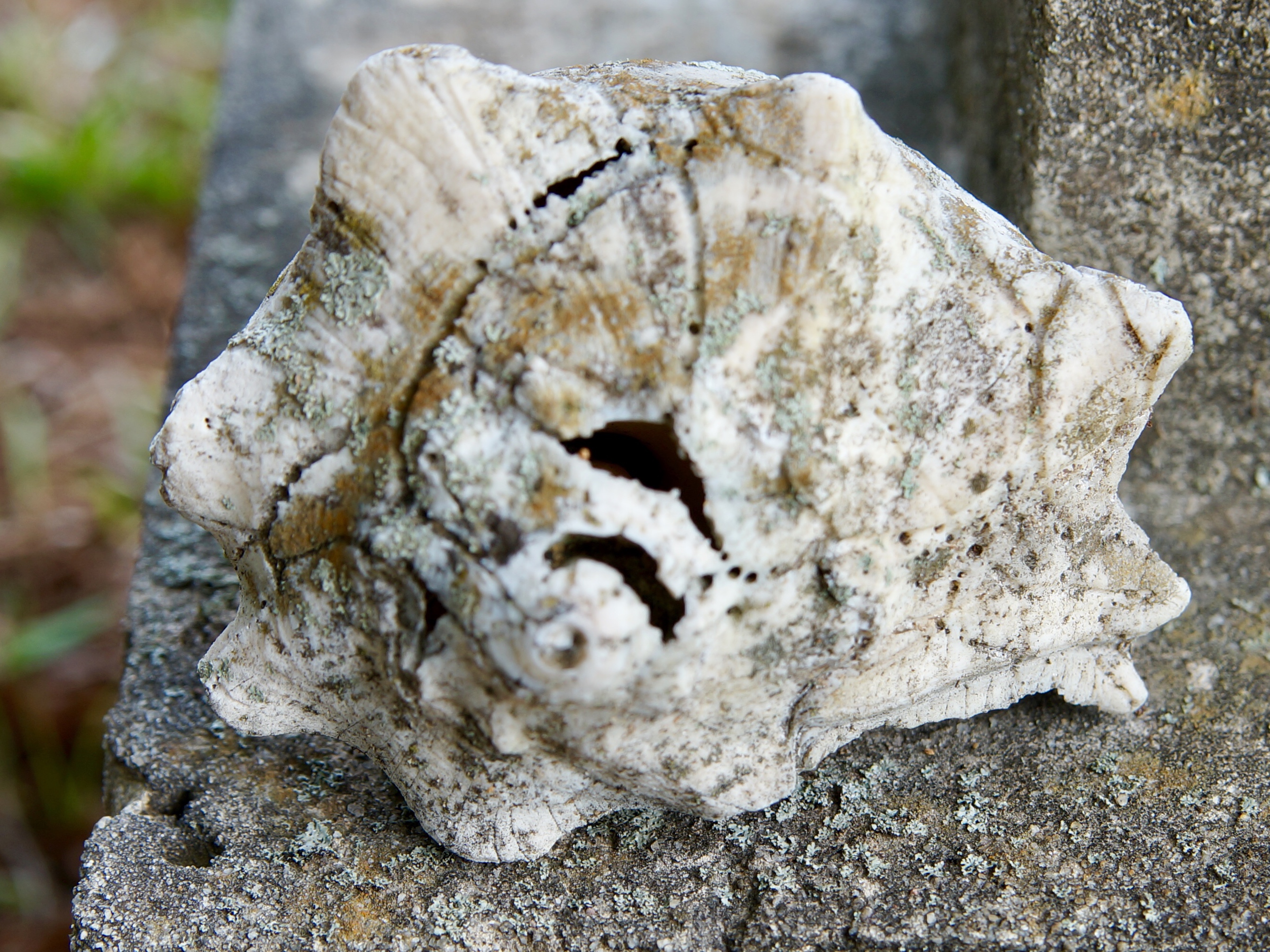
South Carolina extremely old Conch shell in a cemetery...wonder how old it is? 1889 grave
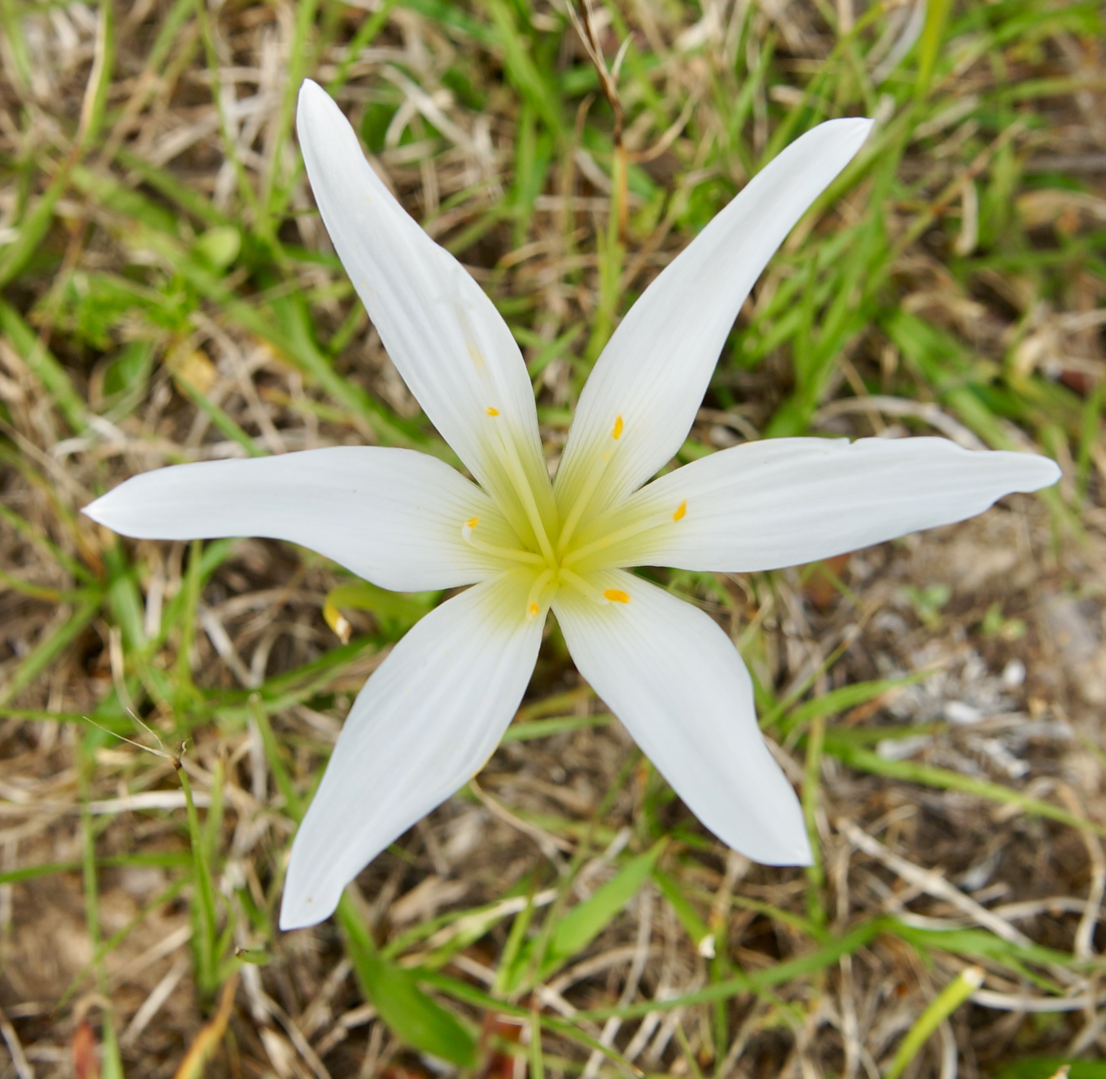
South Carolina lily growing wild
Topographic Map of Old Pee Dee Rd, Hemingway, SC, USA
Find elevation by address:

Places near Old Pee Dee Rd, Hemingway, SC, USA:
Schoolhouse Dr, Hemingway, SC, USA
9191 Old Pee Dee Rd
Tyler Dr, Hemingway, SC, USA
Pleasant Hill Dr, Hemingway, SC, USA
3718 Pee Dee Hwy
County Rd S-22-6, Georgetown, SC, USA
9204 Little Hill Drive
Exodus Dr, Georgetown, SC, USA
Topsaw Rd, Georgetown, SC, USA
Little Lamb Road
2576 Little Lamb Rd
2196 Little Lamb Rd
2080 Little Lamb Rd
1900 Little Lamb Rd
1815 Gilbert Rd
7664 Us-701
1133 Railroad Dr
Bucksport
Little Bull Creek
Recent Searches:
- Elevation of Shibuya Scramble Crossing, 21 Udagawacho, Shibuya City, Tokyo -, Japan
- Elevation of Jadagoniai, Kaunas District Municipality, Lithuania
- Elevation of Pagonija rock, Kranto 7-oji g. 8"N, Kaunas, Lithuania
- Elevation of Co Rd 87, Jamestown, CO, USA
- Elevation of Tenjo, Cundinamarca, Colombia
- Elevation of Côte-des-Neiges, Montreal, QC H4A 3J6, Canada
- Elevation of Bobcat Dr, Helena, MT, USA
- Elevation of Zu den Ihlowbergen, Althüttendorf, Germany
- Elevation of Badaber, Peshawar, Khyber Pakhtunkhwa, Pakistan
- Elevation of SE Heron Loop, Lincoln City, OR, USA