Elevation of Old Palestine Rd, Crofton, KY, USA
Location: United States > Kentucky > Christian County > Crofton >
Longitude: -87.532308
Latitude: 37.0482699
Elevation: 162m / 531feet
Barometric Pressure: 99KPa
Elevation Map:
Satellite Map:
Related Photos:

Cornelius Cemetery

Cornelius Cemetery

Clearing Skies

Keep Out

Forestry Road

Cabin in the Woods

Quiet Stream
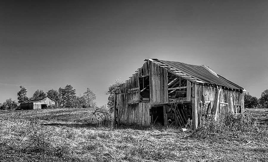
Still Standing

Car View
The view from my room. #research #retreat
North Kelly

Song Sparrow
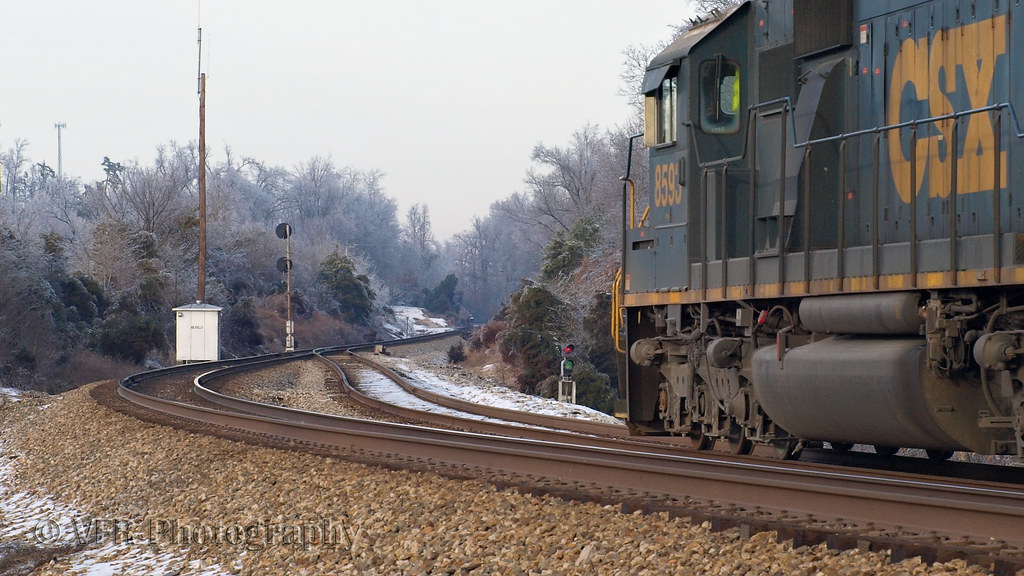
CSX Q647-18, Crofton,KY 1/19/2013
Topographic Map of Old Palestine Rd, Crofton, KY, USA
Find elevation by address:

Places near Old Palestine Rd, Crofton, KY, USA:
14975 N Madisonville St
Crofton
N Madisonville St, Crofton, KY, USA
15776 Old Madisonville Rd
15776 N Old Madisonville Rd
14975 N Old Madisonville Rd
5973 S Old Madisonville St
1550 Grapevine Rd
6440 Old Madisonville Rd
6440 Old Madisonville Rd
6440 Old Madisonville Rd
4136 Us-41
6550 Crofton-fruit Hill Rd
6603 Greenville Rd
1504-1502 Judge Chapel Rd
1500 Judge Chapel Rd
Judges Chapel Road
1392 Judge Chapel Rd
Crofton-Fruit Hill Rd, Crofton, KY, USA
11335 Greenville Rd
Recent Searches:
- Elevation of Crocker Dr, Vacaville, CA, USA
- Elevation of Pu Ngaol Community Meeting Hall, HWHM+3X7, Krong Saen Monourom, Cambodia
- Elevation of Royal Ontario Museum, Queens Park, Toronto, ON M5S 2C6, Canada
- Elevation of Groblershoop, South Africa
- Elevation of Power Generation Enterprises | Industrial Diesel Generators, Oak Ave, Canyon Country, CA, USA
- Elevation of Chesaw Rd, Oroville, WA, USA
- Elevation of N, Mt Pleasant, UT, USA
- Elevation of 6 Rue Jules Ferry, Beausoleil, France
- Elevation of Sattva Horizon, 4JC6+G9P, Vinayak Nagar, Kattigenahalli, Bengaluru, Karnataka, India
- Elevation of Great Brook Sports, Gold Star Hwy, Groton, CT, USA