Elevation of Old Mountaineer Market, S Roan St, Johnson City, TN, USA
Location: United States > Tennessee > Washington County > Johnson City >
Longitude: -82.318822
Latitude: 36.2691791
Elevation: 515m / 1690feet
Barometric Pressure: 95KPa
Elevation Map:
Satellite Map:
Related Photos:

Watching the Game
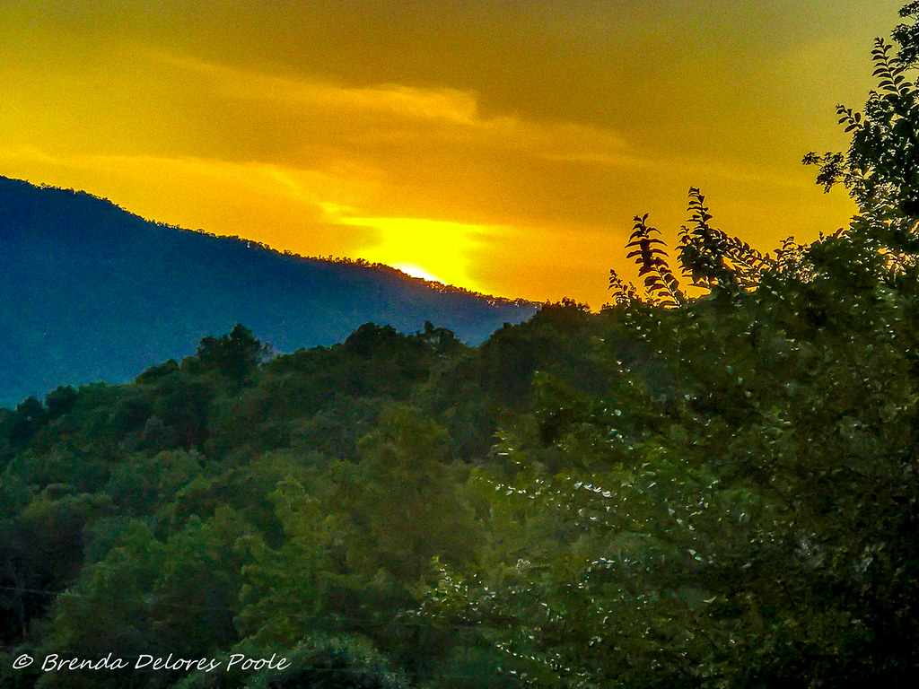
Buffalo Mountain Sunset_-1643-Edit

My view - what are you looking at right now?

203 walking down path to parking lot

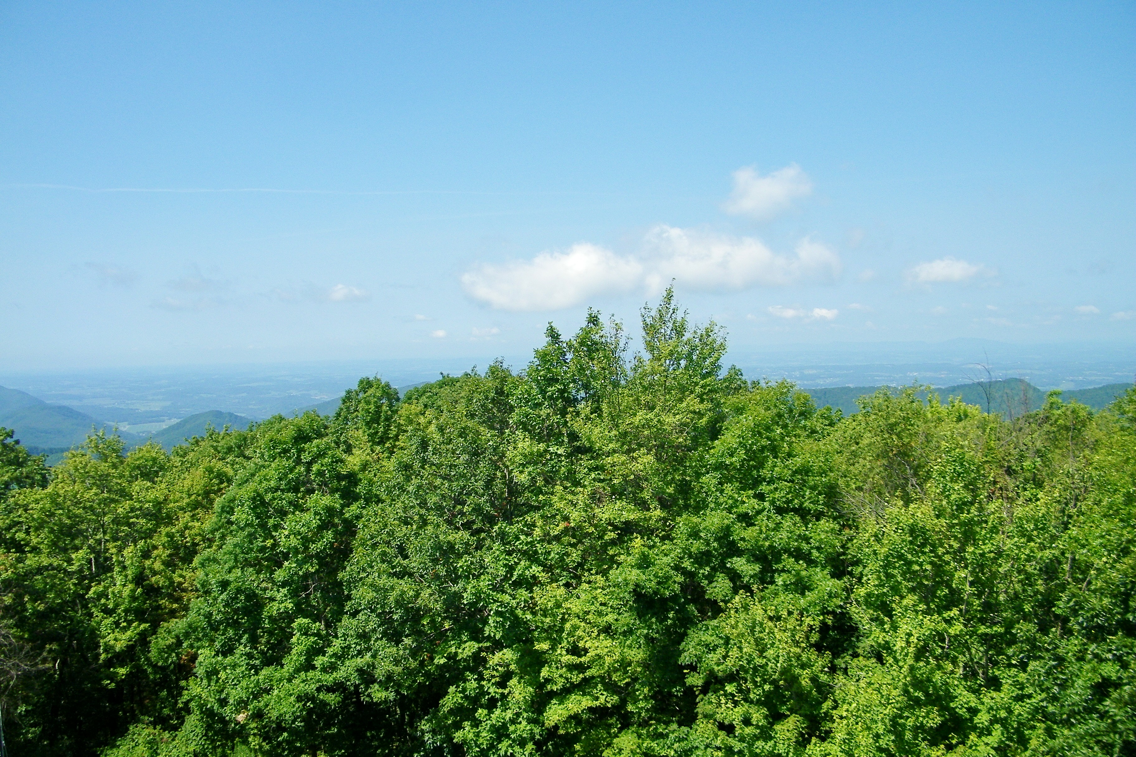
Pinnacle Mountain Fire Tower HDR Panorama
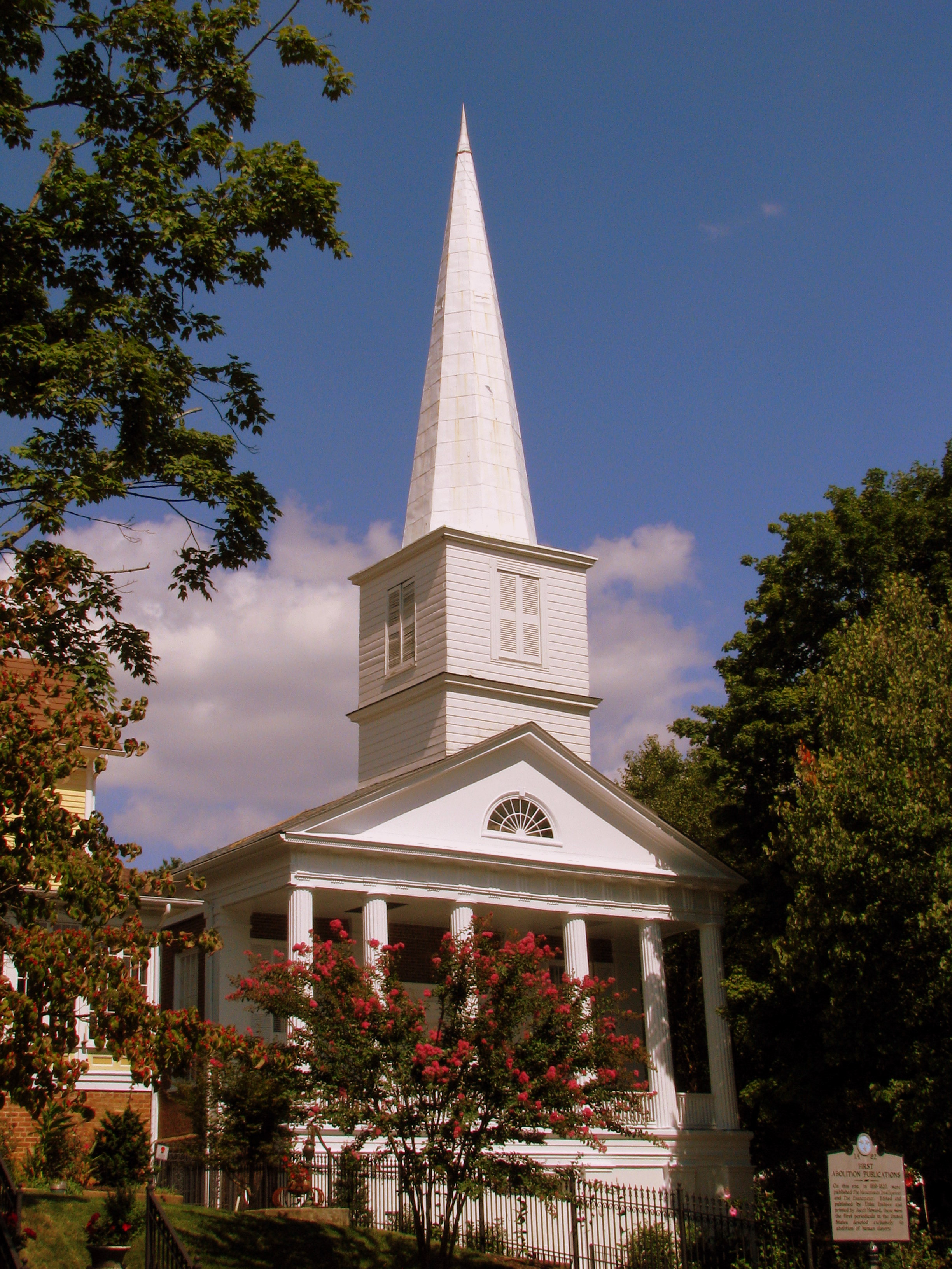
First Presbyterian Church - Jonesborough, TN
Pinnacle Mountain Lookout Tower

2013.12.27 125K Views

201 Claire on the trail

First Presbyterian Church - Jonesborough, TN

195 Trail to top of hill at rest stop in Tennessee

Little Star!
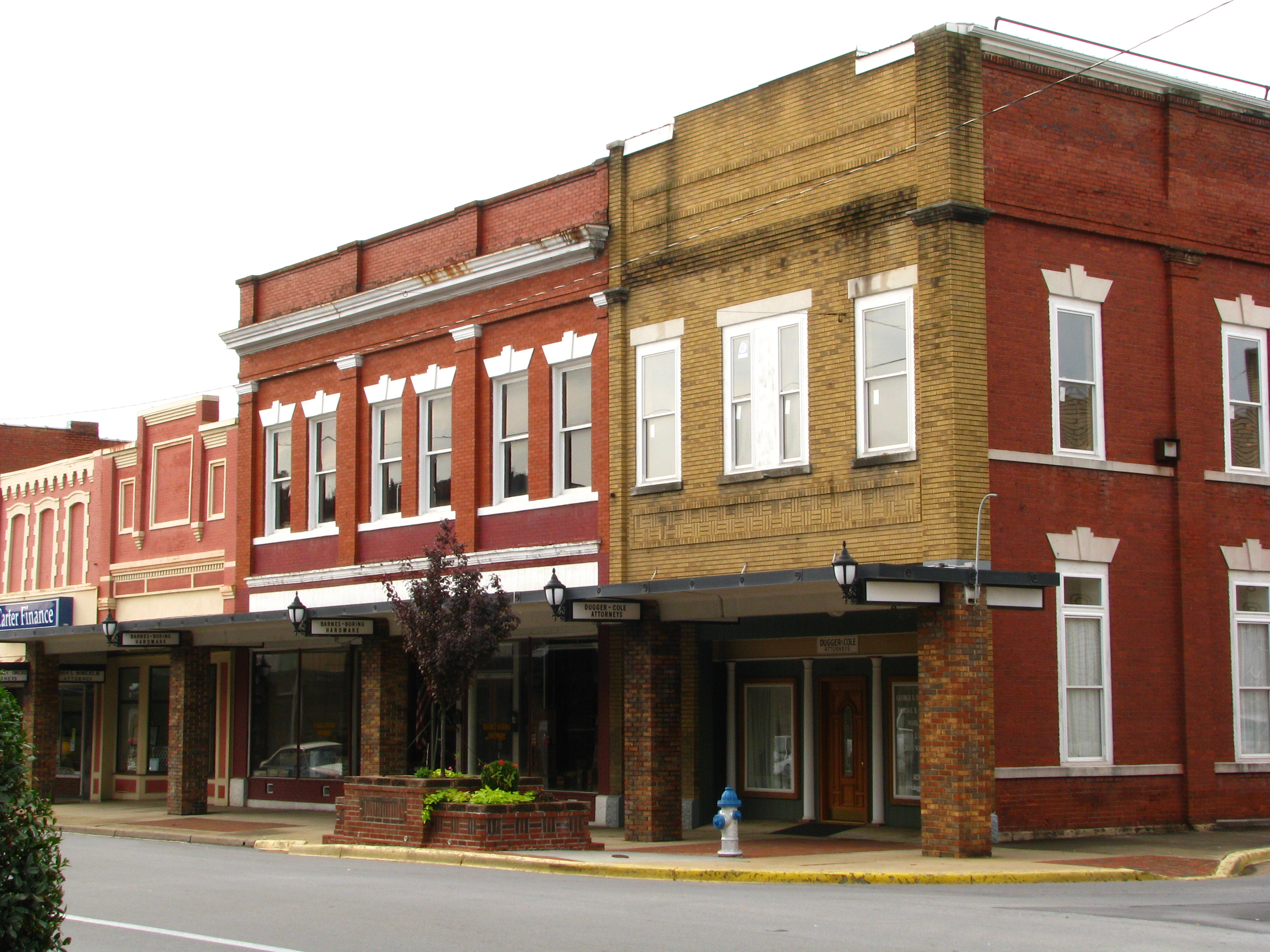
Storefronts of Historic Elizabethton - Barnes Boring Hardware

Parents view.

May Isolation Theme Entry
Johnson City Country Club
Birchfiel Building (Ritz Theater)

myspace 022
Great view

My view today

myspace 020

Pine Oaks Golf Course

Doe River Covered Bridge

Nolichucky River

Wetenschap Heuvel

CSX N313-08 crossing over Boones Creek
Dark Hollow Creek

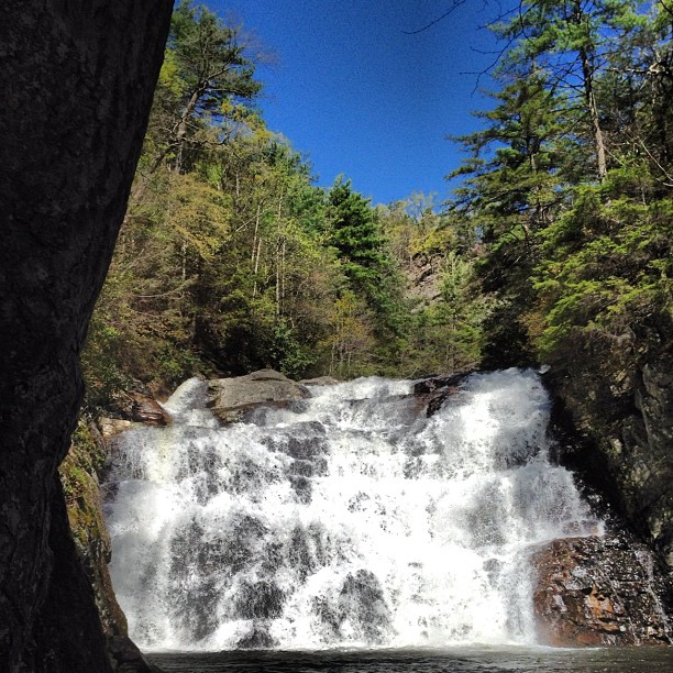
Racing Water

WP_20141124_040.JPG
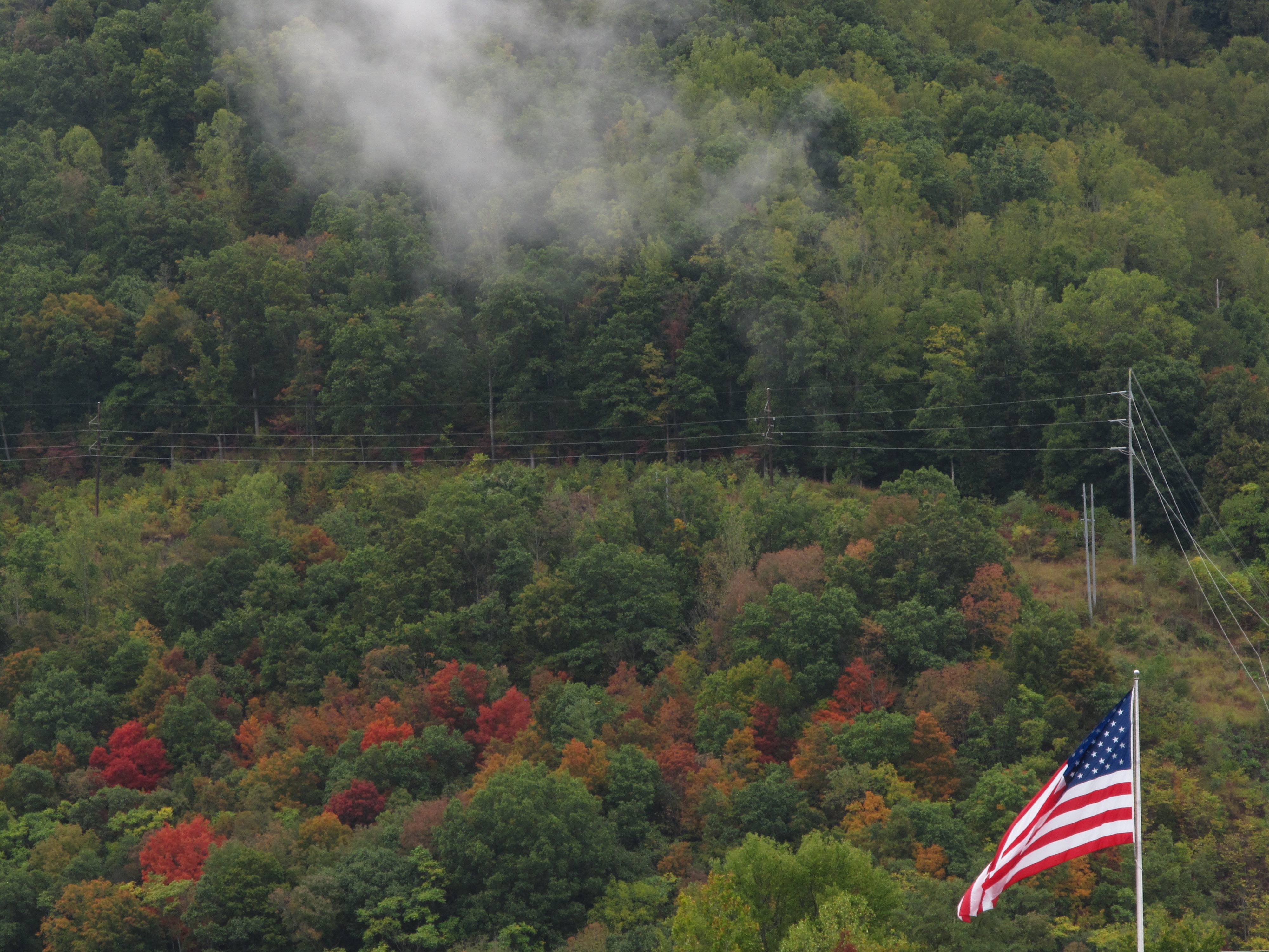
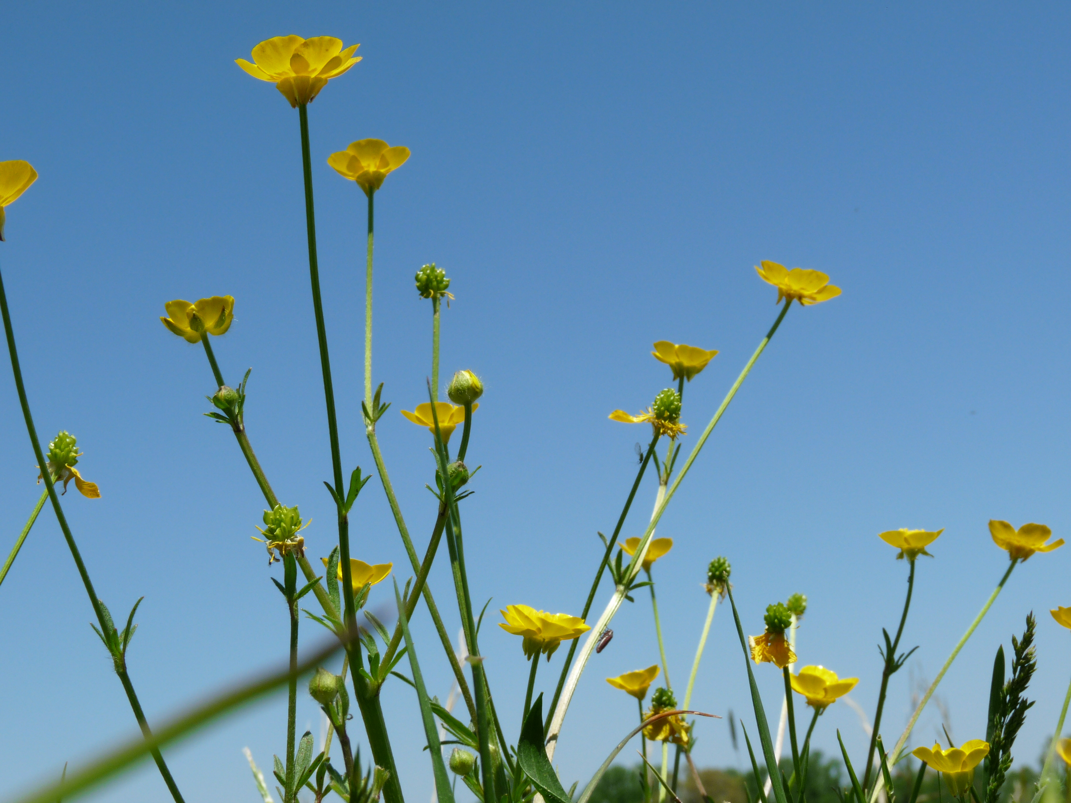
Hints of Fall3
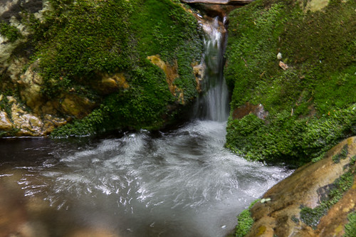
Rock Creek Hike
Rock Creek Hike

Wautauga River

Rock Creek Hike
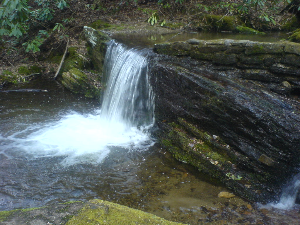
Clear Fork Creek

East Tennessee Farm (Sullivan County, Tennessee)
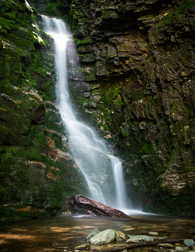
Rock Creek Hike
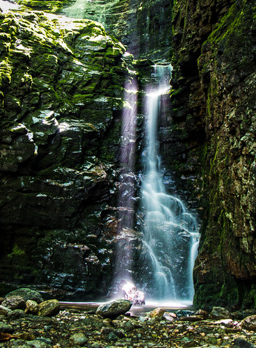
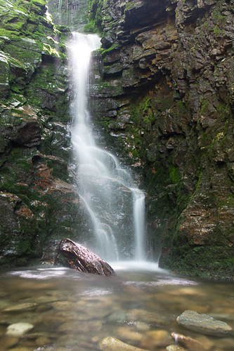
Laurel Falls, on the Appalachian Trail.
P1000298.JPG
Rock Creek Hike
Topographic Map of Old Mountaineer Market, S Roan St, Johnson City, TN, USA
Find elevation by address:

Places near Old Mountaineer Market, S Roan St, Johnson City, TN, USA:
S Roan St, Johnson City, TN, USA
3107 S Roan St
3071 S Roan St
3061 S Roan St
508 Okolona Rd
320 Bill Garland Rd
124 Old Watson Rd
1358 Suntree Rd
1105 Whispering Pines Rd
613 Whispering Pines Rd
1101 Whispering Pines Rd
411 Greenbrook Cir
200 Rustic Ridge Rd
110 Orchard Dr
131 Meadowstone Dr
Highridge Road
Highridge Road
427 Laurels Rd
184 Woodland Dr
Tip Top
Recent Searches:
- Elevation of Unnamed Road, Respublika Severnaya Osetiya — Alaniya, Russia
- Elevation of Verkhny Fiagdon, North Ossetia–Alania Republic, Russia
- Elevation of F. Viola Hiway, San Rafael, Bulacan, Philippines
- Elevation of Herbage Dr, Gulfport, MS, USA
- Elevation of Lilac Cir, Haldimand, ON N3W 2G9, Canada
- Elevation of Harrod Branch Road, Harrod Branch Rd, Kentucky, USA
- Elevation of Wyndham Grand Barbados Sam Lords Castle All Inclusive Resort, End of Belair Road, Long Bay, Bridgetown Barbados
- Elevation of Iga Trl, Maggie Valley, NC, USA
- Elevation of N Co Rd 31D, Loveland, CO, USA
- Elevation of Lindever Ln, Palmetto, FL, USA