Elevation of Old Hwy 5, West Blocton, AL, USA
Location: United States > Alabama > Bibb County > West Blocton >
Longitude: -87.128035
Latitude: 33.0809355
Elevation: 141m / 463feet
Barometric Pressure: 100KPa
Elevation Map:
Satellite Map:
Related Photos:

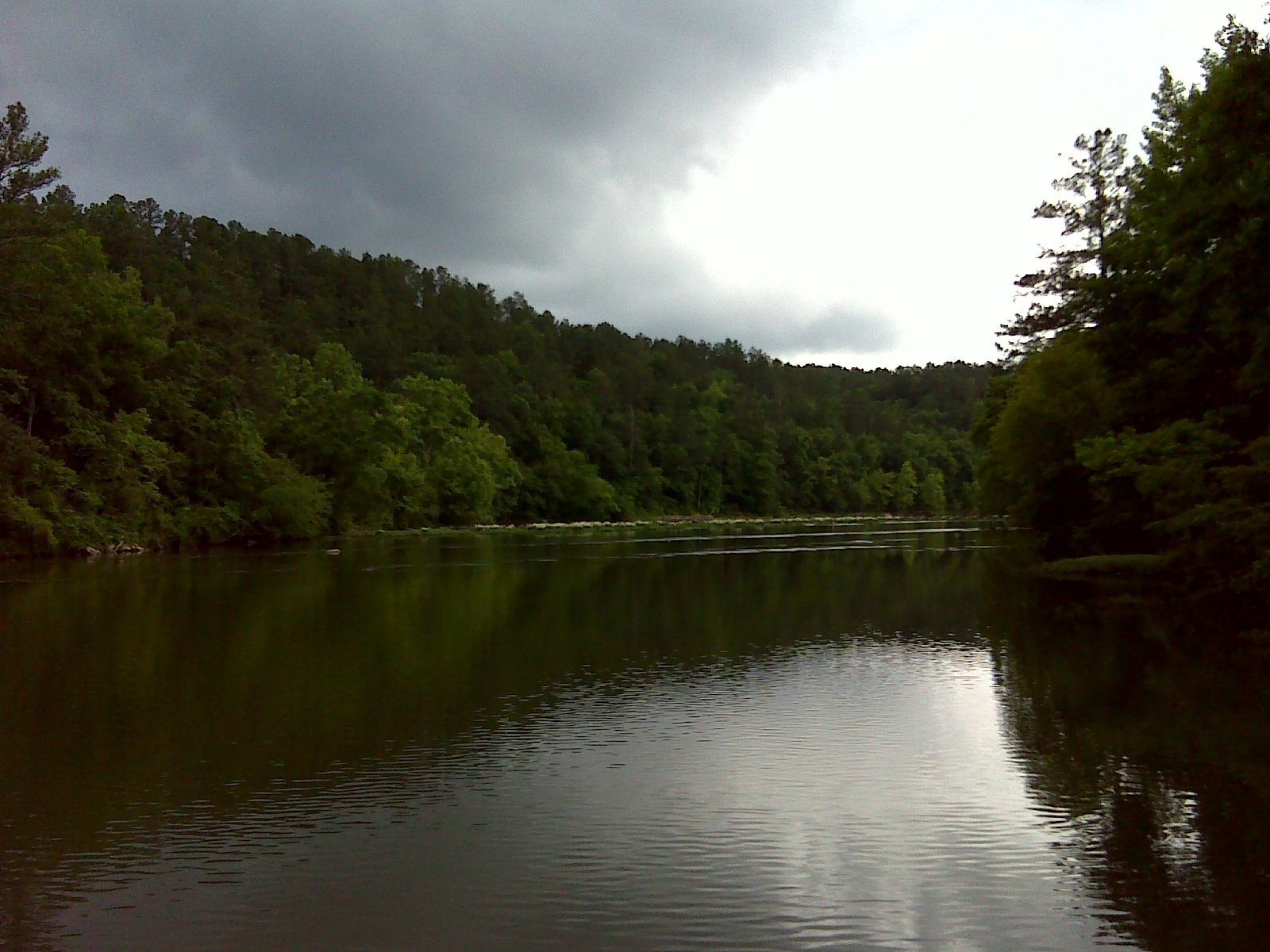
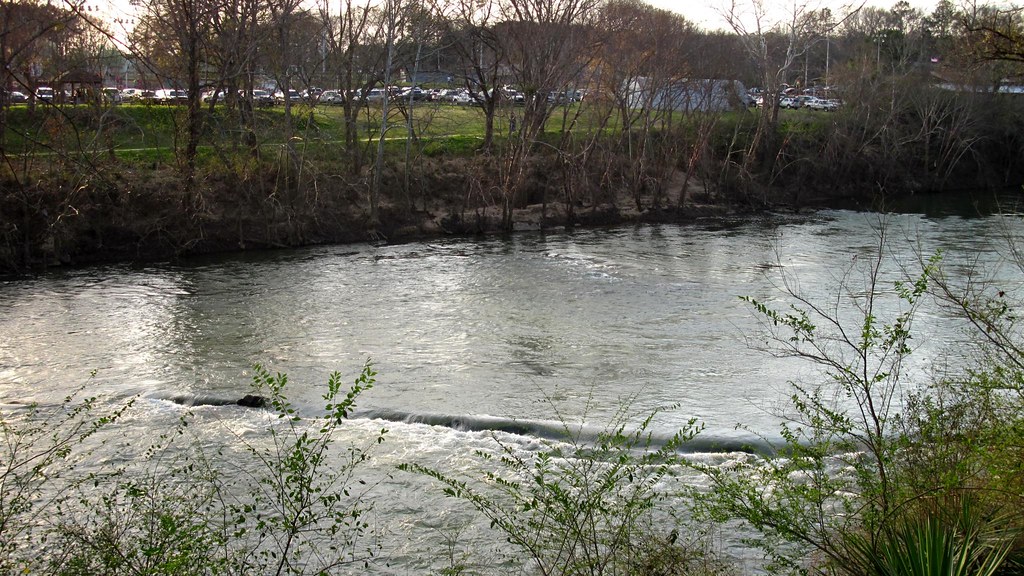
Cahaba River near Halfmile Shoals, Bibb County, AL
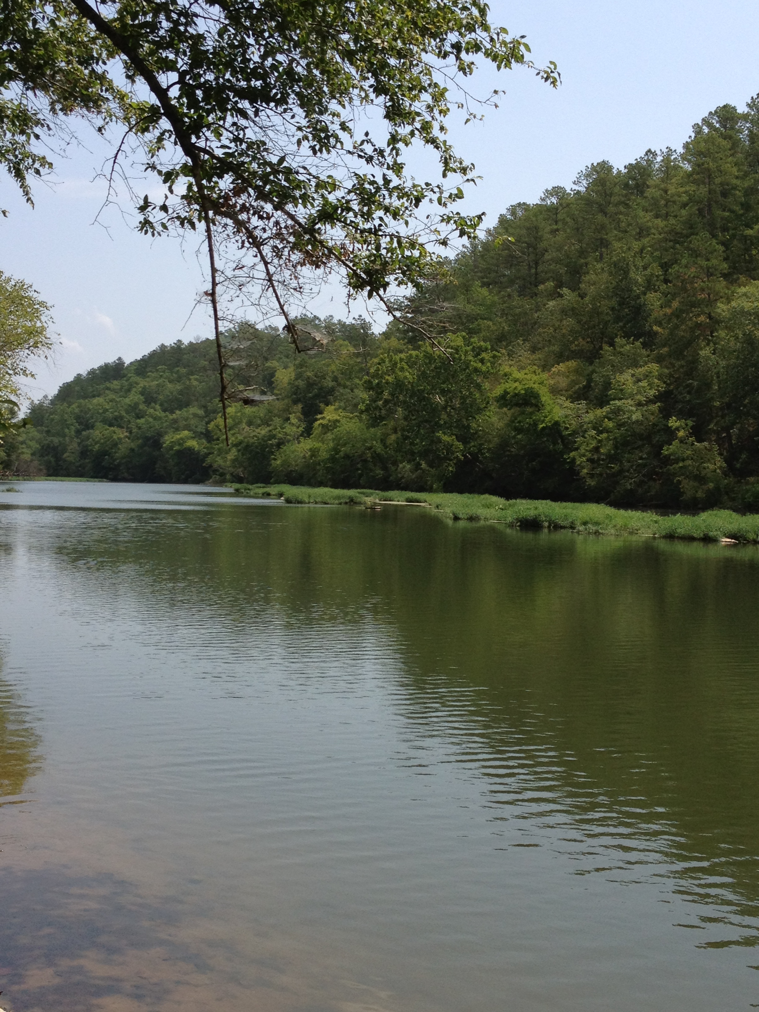
Cahaba River National Wildlife Refuge - 2
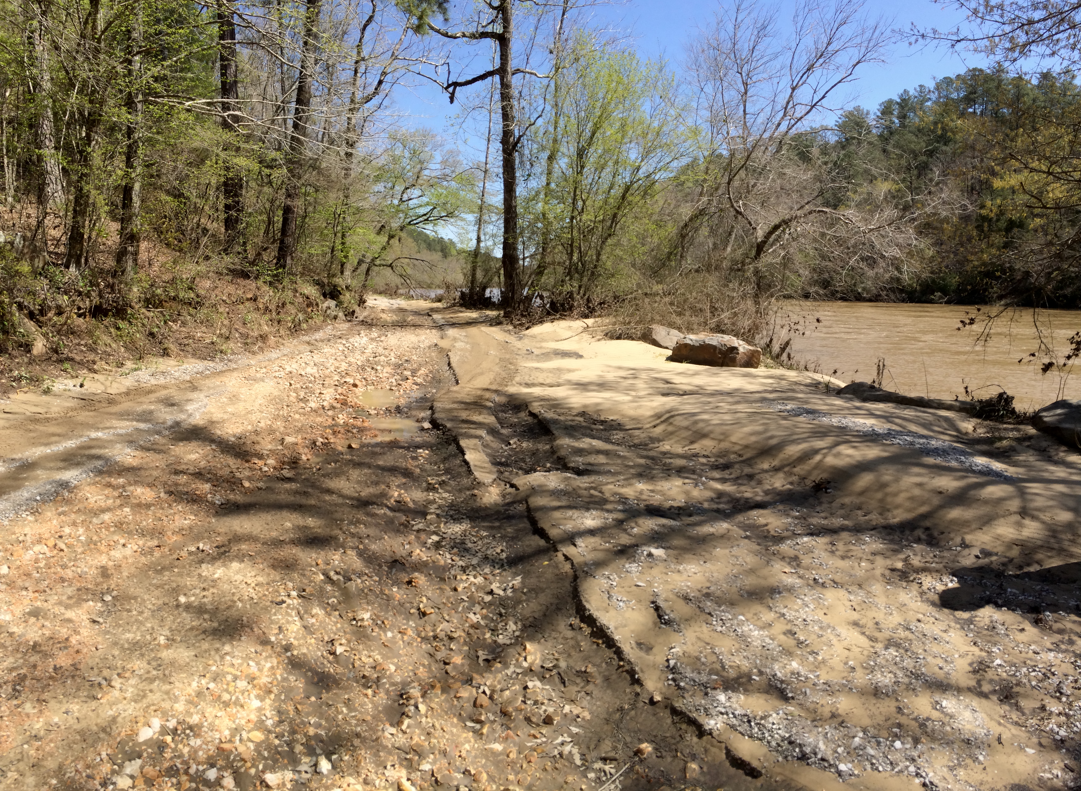
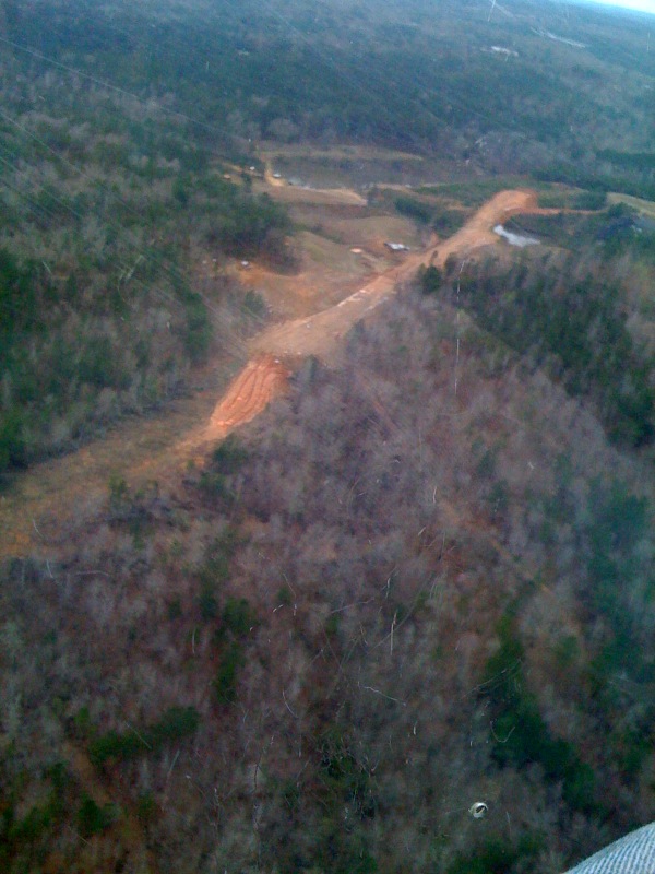
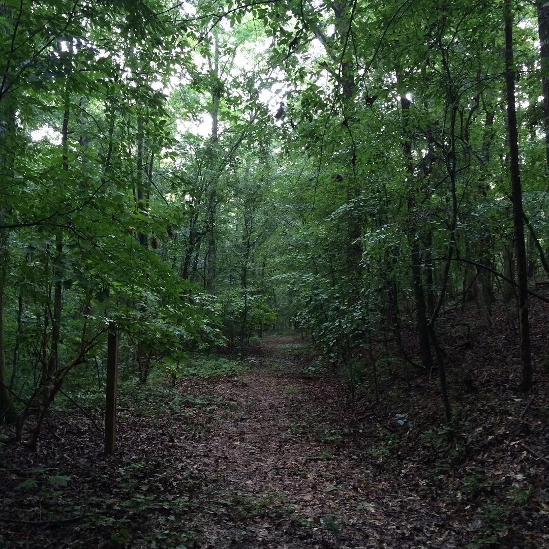
Cahaba River Road erosion
Cahaba River National Wildlife Refuge
Living Rivers: A Retreat on the Cahaba
Had to take off somewhere...
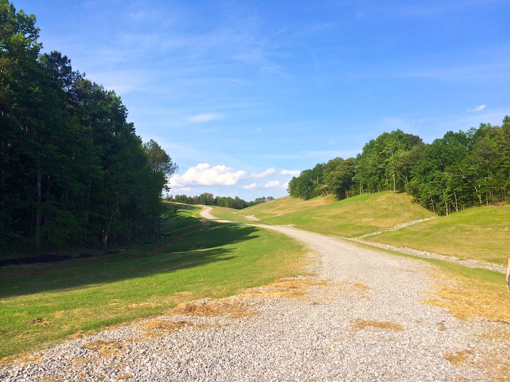
Piper II high-wall mine reclamation
Cahaba River National Wildlife Refuge - 1
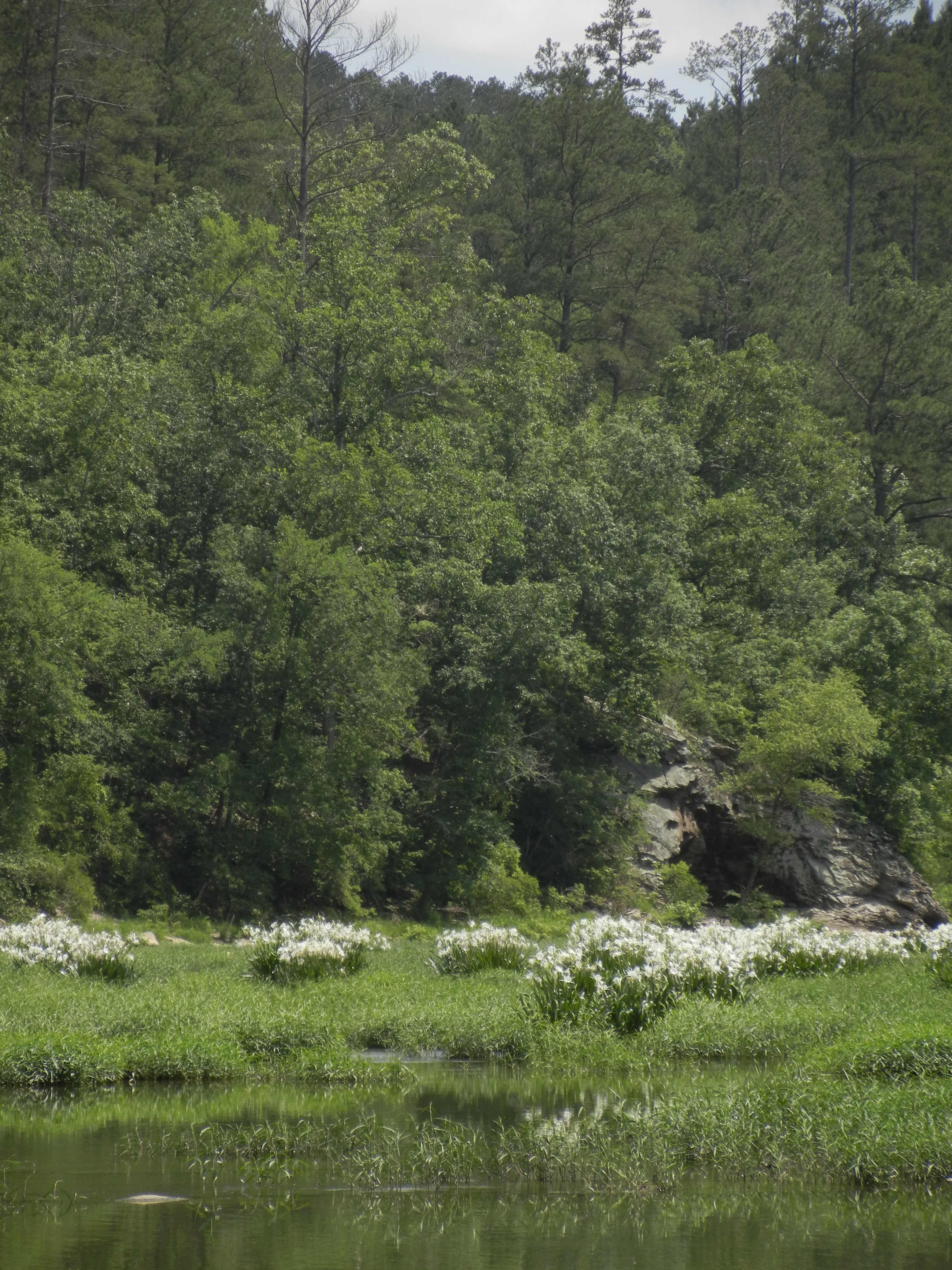
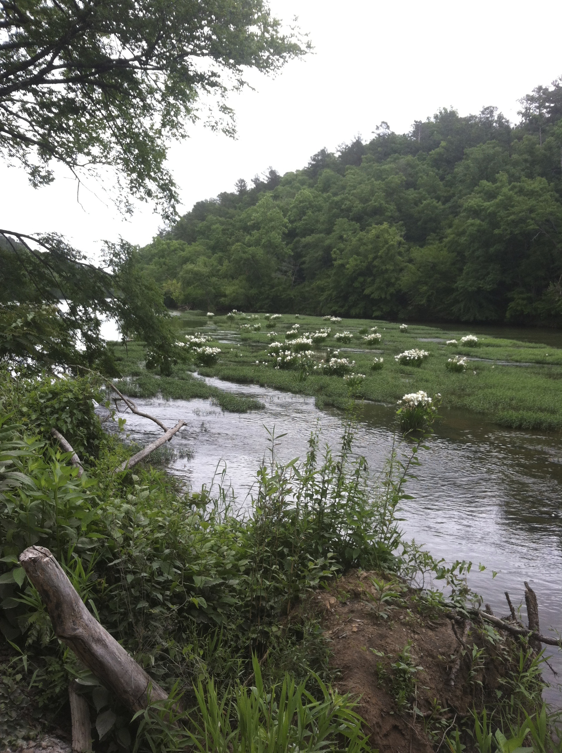
Lilies at Cahaba
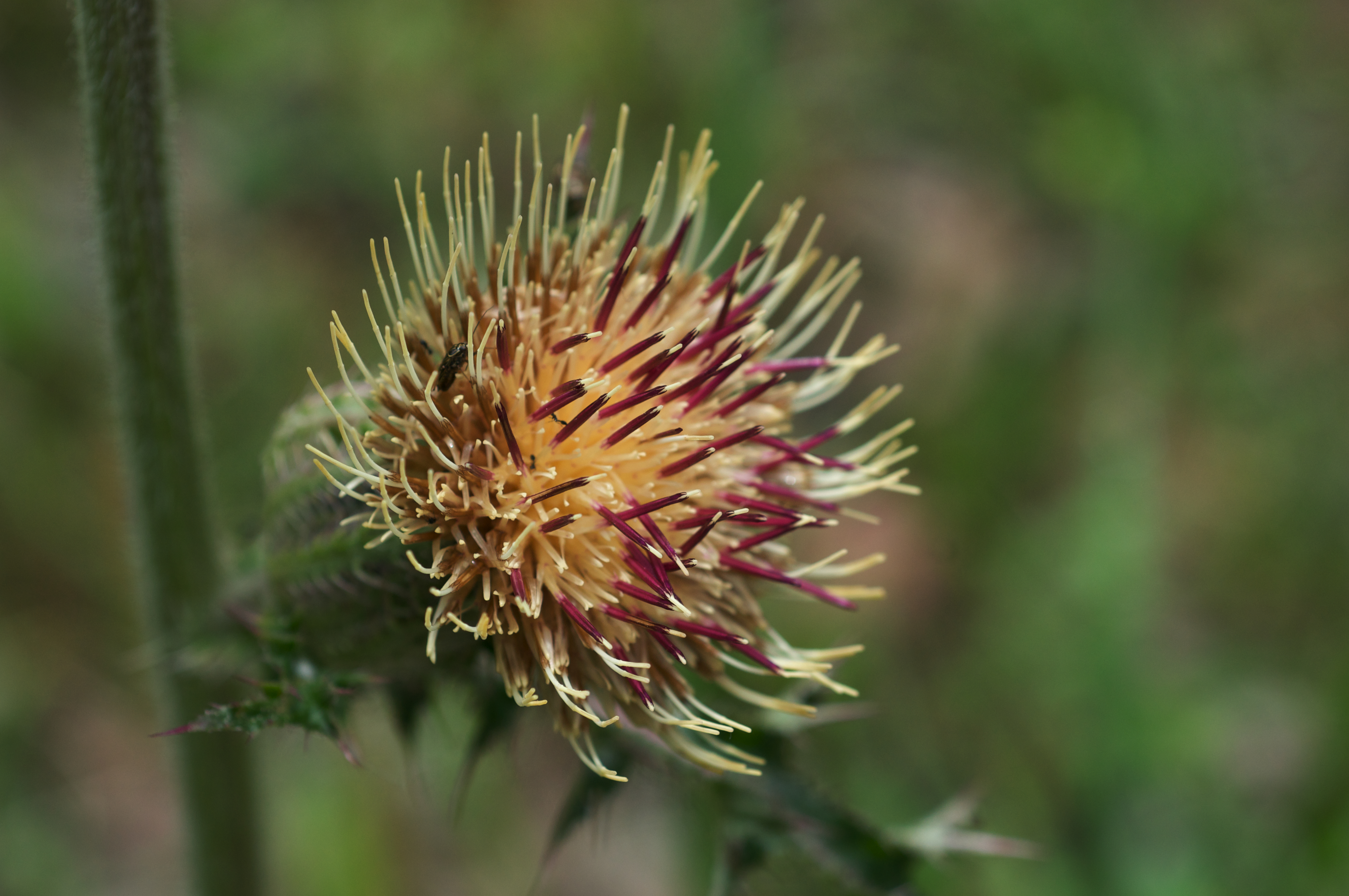
Cirsium horridulum var. horridulum
the love and hard work the #LivingRiverRetreat folks are giving to preserve this area is definitely evident and deeply appreciated. we thoroughly enjoyed the short and sweet hike on #RailroadTrail along with the plant and tree ID education we soaked up al
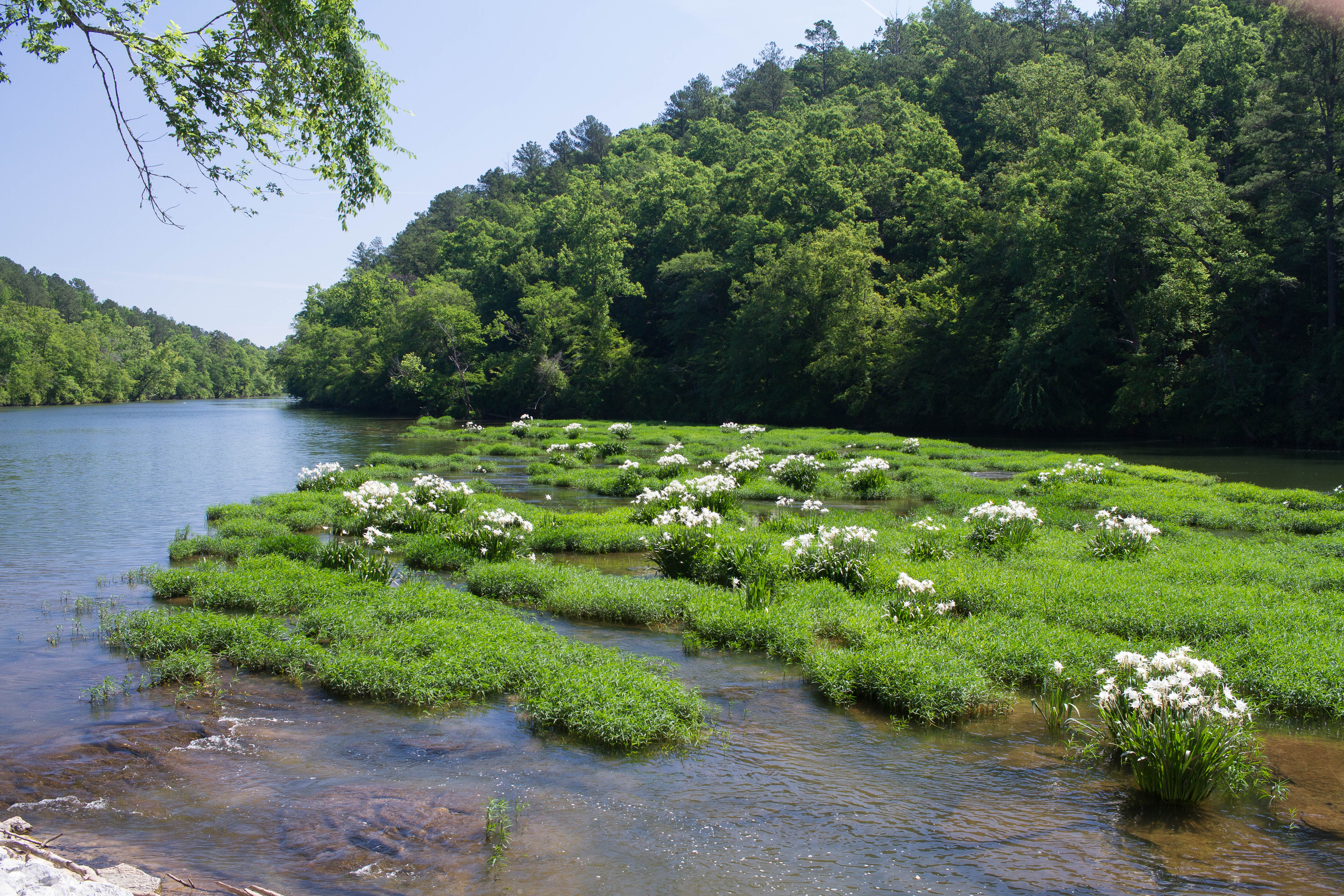
Cahaba River Lillies
100327 Centreville, AL
Topographic Map of Old Hwy 5, West Blocton, AL, USA
Find elevation by address:

Places near Old Hwy 5, West Blocton, AL, USA:
Primitive Ridge Rd, West Blocton, AL, USA
West Blocton
Smith Hill Rd, West Blocton, AL, USA
Co Rd 21, West Blocton, AL, USA
Bishop Ridge Rd, West Blocton, AL, USA
Co Rd 47, Centreville, AL, USA
Bibb County
Woodstock
Woodstock Estates, Woodstock, AL, USA
Centreville
AL-5, Woodstock, AL, USA
Brent
Bishop Ridge, West Blocton, AL, USA
Cathedral Ln, McCalla, AL, USA
US-11, McCalla, AL, USA
90 Shelby County Rd, Montevallo, AL, USA
Mc Calla
12764 Oak Forest Dr
Belcher Dr, Lake View, AL, USA
Lake View
Recent Searches:
- Elevation of 3 Nestling Wood Dr, Long Valley, NJ, USA
- Elevation of Ilungu, Tanzania
- Elevation of Yellow Springs Road, Yellow Springs Rd, Chester Springs, PA, USA
- Elevation of Rēzekne Municipality, Latvia
- Elevation of Plikpūrmaļi, Vērēmi Parish, Rēzekne Municipality, LV-, Latvia
- Elevation of 2 Henschke Ct, Caboolture QLD, Australia
- Elevation of Redondo Ave, Long Beach, CA, USA
- Elevation of Sadovaya Ulitsa, 20, Rezh, Sverdlovskaya oblast', Russia
- Elevation of Ulitsa Kalinina, 79, Rezh, Sverdlovskaya oblast', Russia
- Elevation of 72-31 Metropolitan Ave, Middle Village, NY, USA