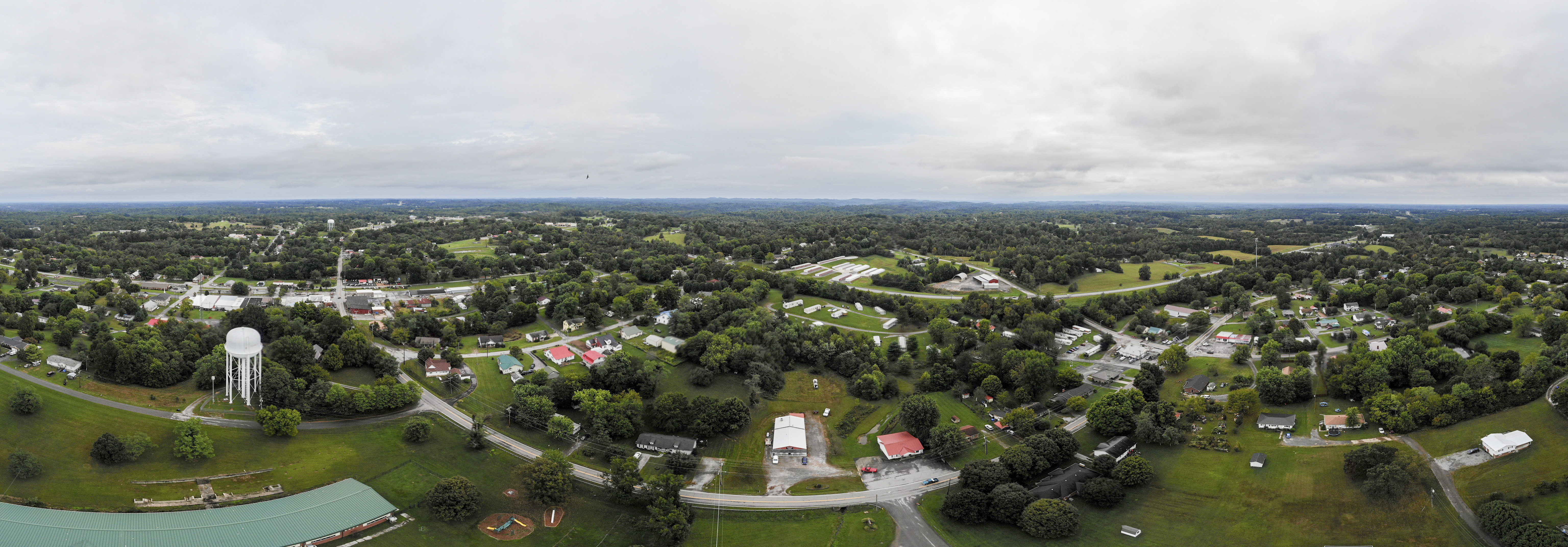
Elevation of Old Hwy 52, Westmoreland, TN, USA
Location: United States > Tennessee > Sumner County > Westmoreland >
Longitude: -86.211482
Latitude: 36.5452772
Elevation: 272m / 892feet
Barometric Pressure: 98KPa
Elevation Map:
Satellite Map:
Related Photos:
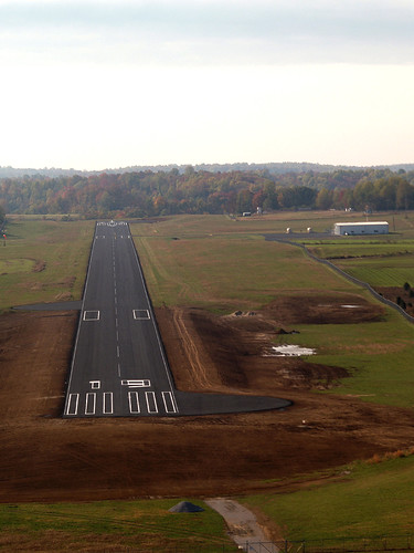
3M7, Lafayette, Tennessee - final approach for runway 19
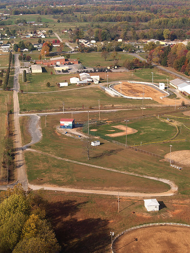
Lafayette, Macon County, Tennessee
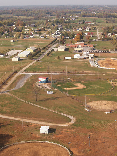
Lafayette, Macon County, Tennessee

20180926-RD-LSC-0172
20180926-RD-LSC-0118
20180926-RD-LSC-0173

Haunted house
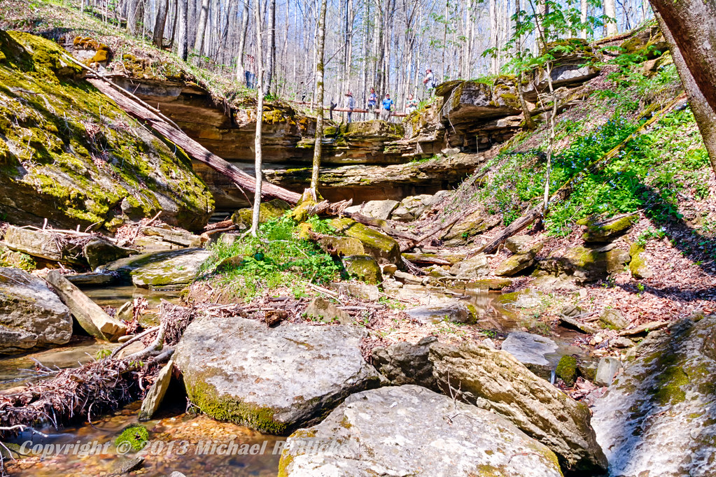
Taylor Hollow State Natural Area - April 13, 2013
Taylor Hollow State Natural Area - April 13, 2013
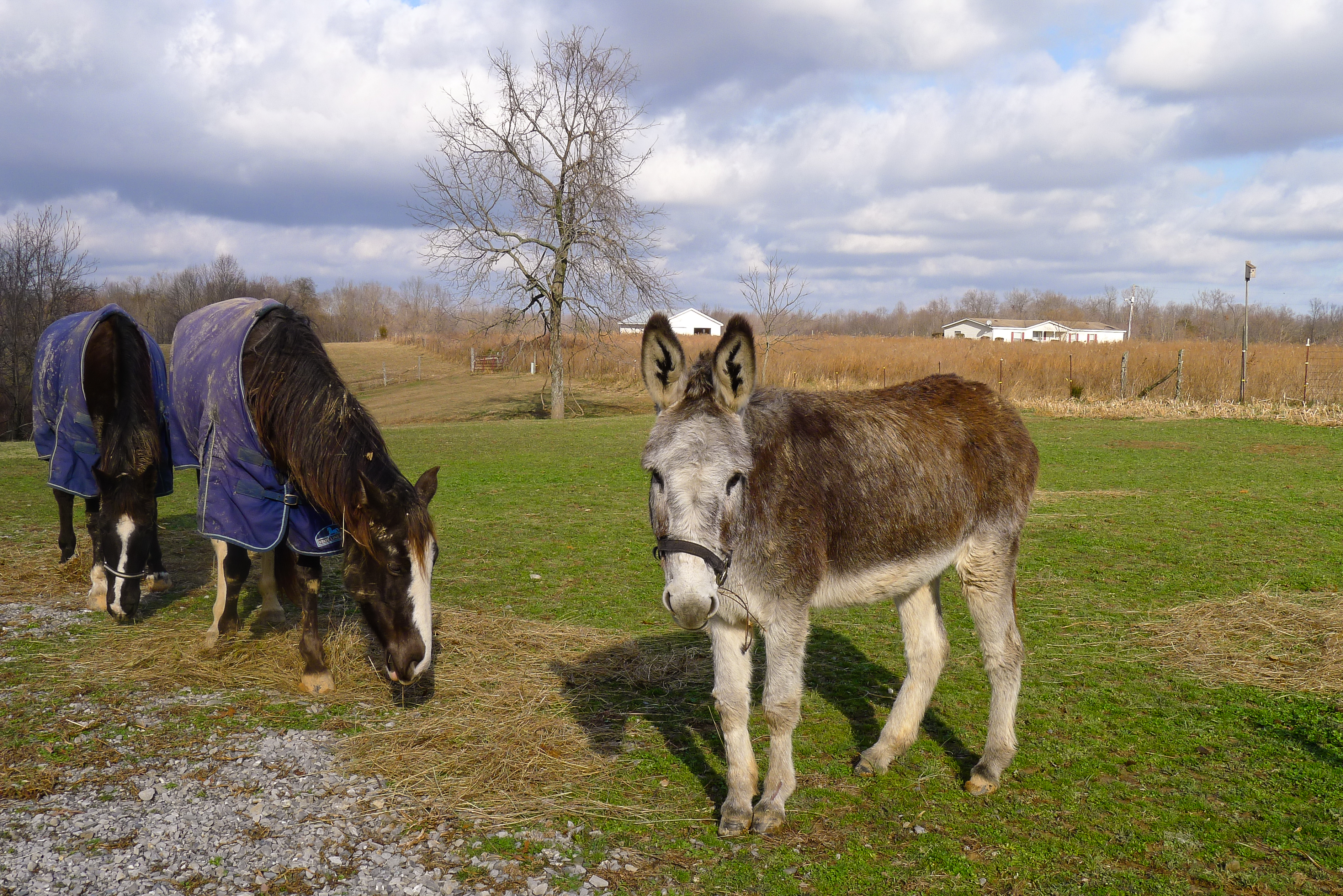
Pilar's pets

Jackie & Pisco

Blue-Eyed Mary
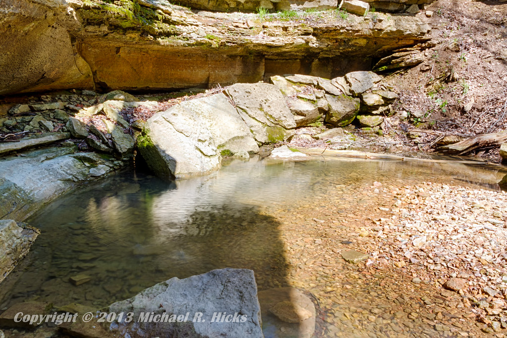
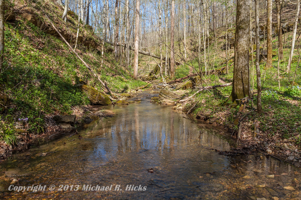
Taylor Hollow State Natural Area - April 13, 2013
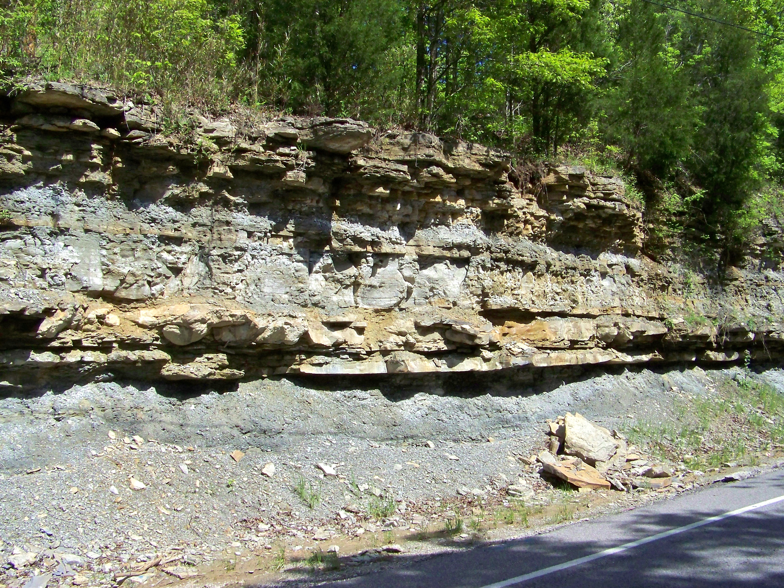
Road Cut
Topographic Map of Old Hwy 52, Westmoreland, TN, USA
Find elevation by address:

Places near Old Hwy 52, Westmoreland, TN, USA:
Westmoreland
Wolf Hill Road
162 Tuttle Ln
Rogues Fork Rd, Bethpage, TN, USA
1309 Rogues Fork Rd
Mutton Hollow Hill Road
8760 Storytown Rd
Bethpage
595 Storytown Rd
Halltown Rd, Hartsville, TN, USA
200 Bob Perry Rd
4 Halltown Rd
Trousdale County
Hartsville/trousdale County
Hartsville
710 Rock Bridge Rd
Rock Bridge
Royal Elm Cir, Hartsville, TN, USA
Canoe Branch Rd, Castalian Springs, TN, USA
Castalian Springs
Recent Searches:
- Elevation of Elwyn Dr, Roanoke Rapids, NC, USA
- Elevation of Congressional Dr, Stevensville, MD, USA
- Elevation of Bellview Rd, McLean, VA, USA
- Elevation of Stage Island Rd, Chatham, MA, USA
- Elevation of Shibuya Scramble Crossing, 21 Udagawacho, Shibuya City, Tokyo -, Japan
- Elevation of Jadagoniai, Kaunas District Municipality, Lithuania
- Elevation of Pagonija rock, Kranto 7-oji g. 8"N, Kaunas, Lithuania
- Elevation of Co Rd 87, Jamestown, CO, USA
- Elevation of Tenjo, Cundinamarca, Colombia
- Elevation of Côte-des-Neiges, Montreal, QC H4A 3J6, Canada