Elevation of Old House Ln, Dewees Island, SC, USA
Location: United States > South Carolina > Charleston County > Dewees Island >
Longitude: -79.718557
Latitude: 32.8378525
Elevation: 7m / 23feet
Barometric Pressure: 101KPa
Elevation Map:
Satellite Map:
Related Photos:
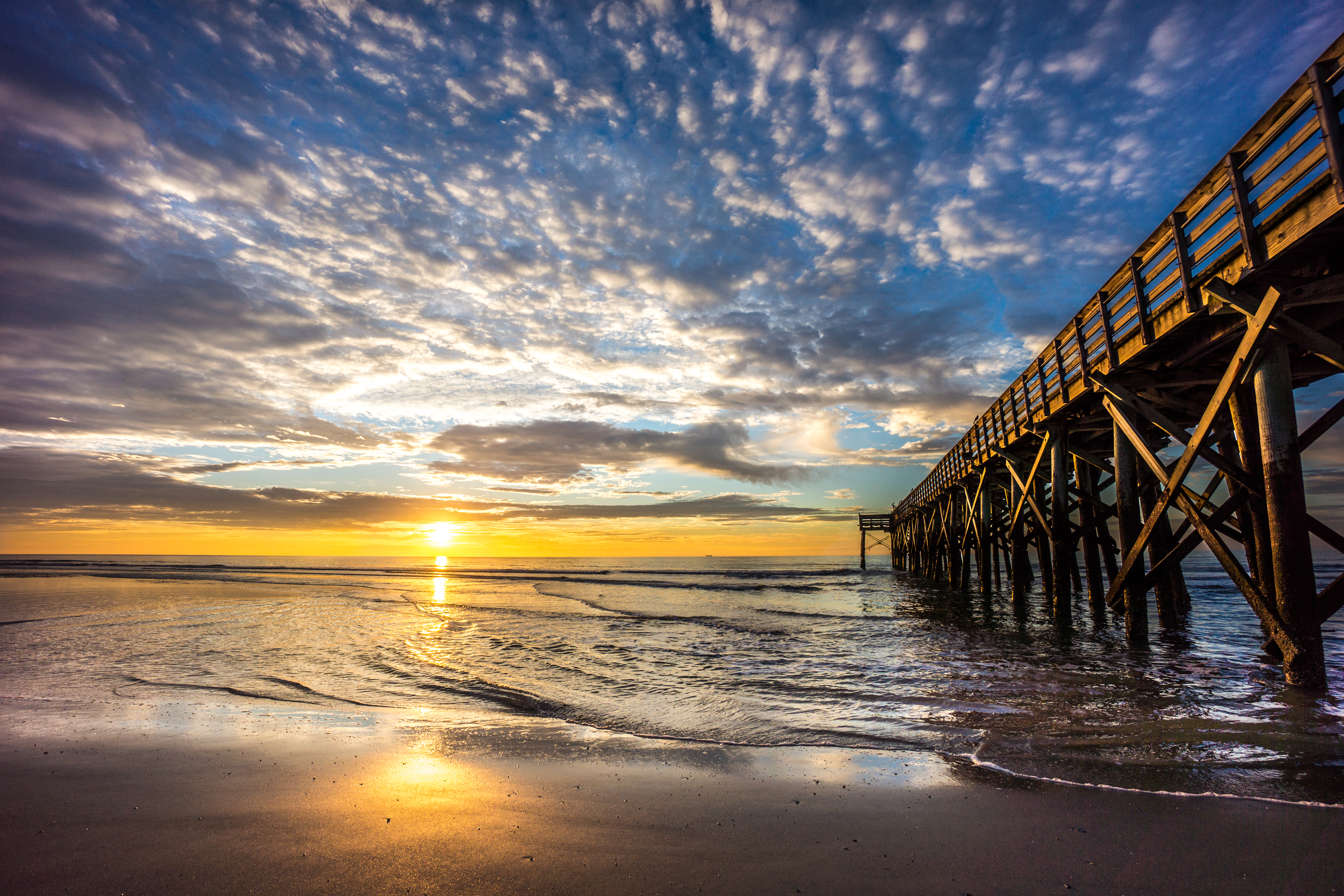
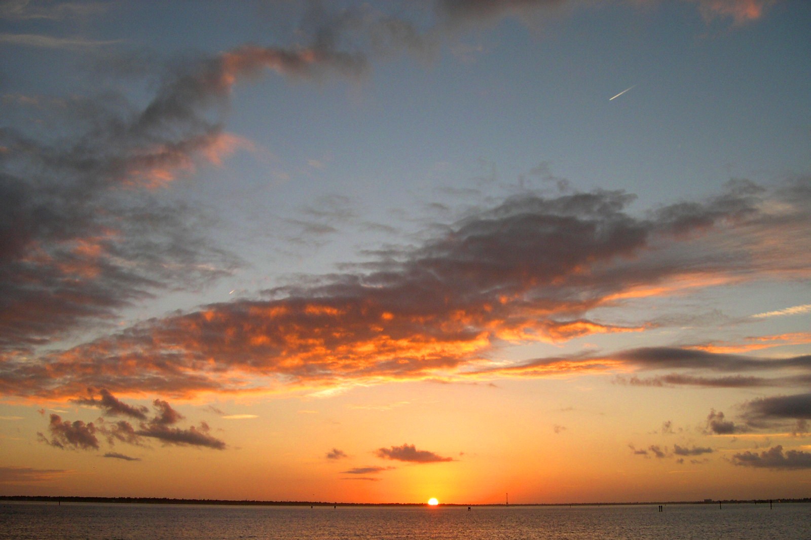
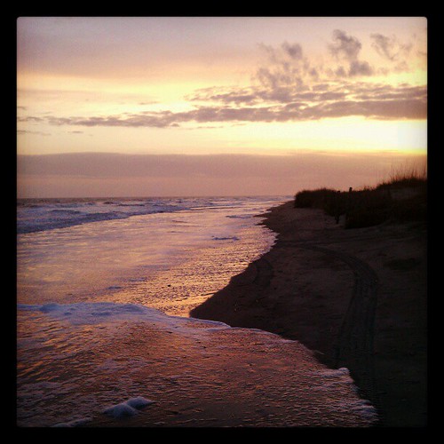
Sunrise on Isle of Palms Beach, SC
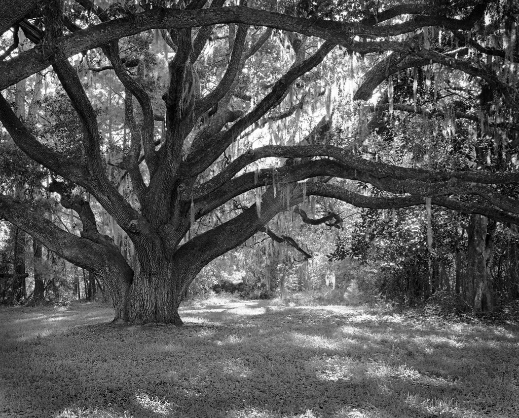
Live Oak 'contre-jour'
The view of the Charleston Harbor. #charlseston #northcarolina #trb_members1 #ipulledoverforthis

Views from the pier
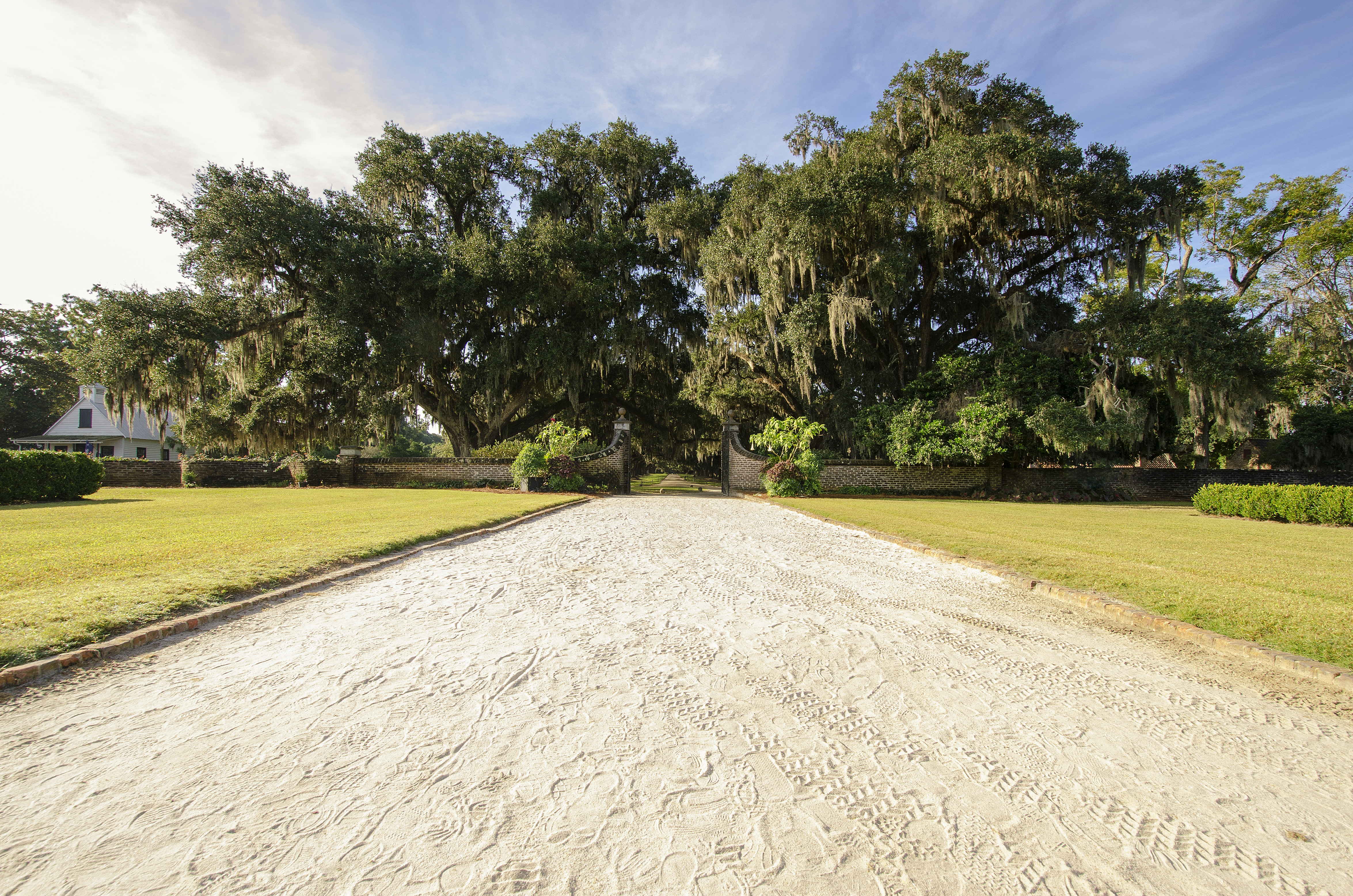
Entrance - Boone Hall

Boone Hall Plantation, Mt. Pleasant, S.C.
Isle of Palms, SC
...
Here Comes The Sun

Top Gun
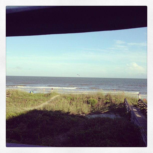
Beach view
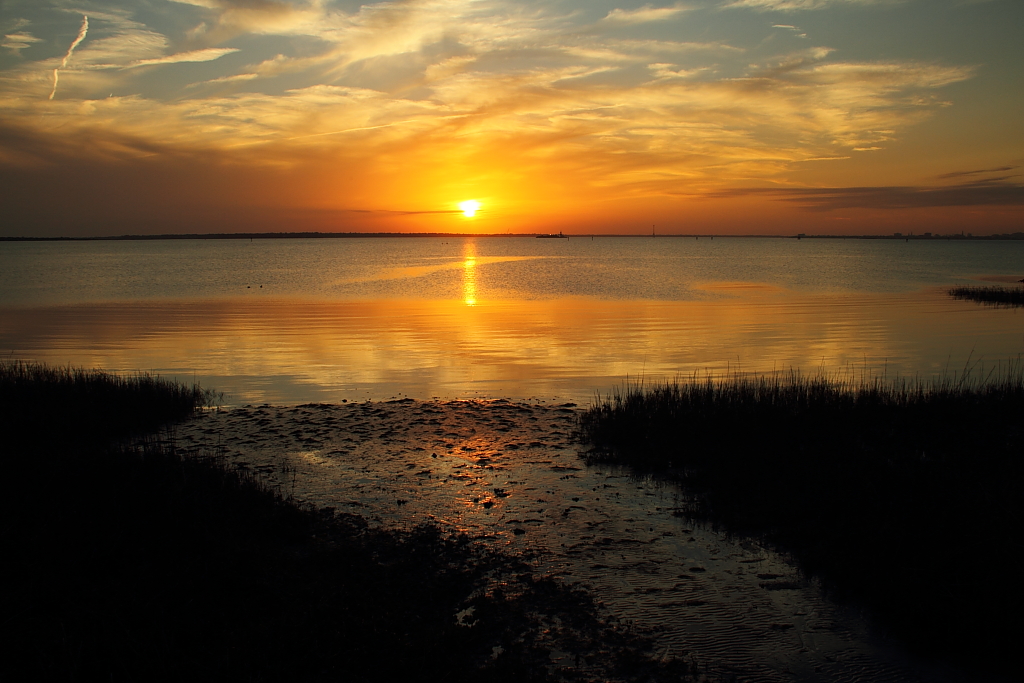
Charleston Harbor sunset
LCS Harbor View
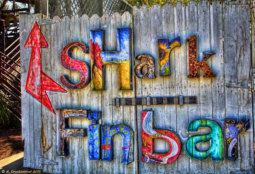
The Shark Fin Bar Sign, Vickery's Seafood Restaurant in Mt Pleasant
The view from dinner.
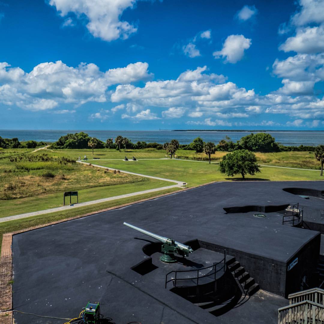
Fort Moultrie - July 1985
Me and my shadow in behind :-)
Kayaks near Shem Creek in Mt. Pleasant, SC

All about basic geometry forms. Square, rectangular, circle, cylinder...
Looking south west ...

marsh colors
South Carolina - Low Country

Wando River - Low Country

Isle of Palms buildings and pier

Best seat in the house.
Wishful Thinking
Golden sands

Boone Hall and Gardens

Sunset 2

Backlit Pampas Grass B&W

Red-tailed Hawk returning to perch

Boneyard Beach2

Christmas Sunrise

Sullivan's Island Sunset
Panoramic reflections
Set 2.

Sullivans Island Sunrise 2, 12-13-13
Mirror/rorriM
Marsh-782401

Sunset Storm - Charleston Harbor
Topographic Map of Old House Ln, Dewees Island, SC, USA
Find elevation by address:

Places near Old House Ln, Dewees Island, SC, USA:
Old House Ln, Dewees Island, SC, USA
227 Pelican Flight Dr
Dewees Island
18 Commons Ct
Isle Of Palms
10 Ocean Point
10 Ocean Point
10 Ocean Point
20 Dune Ridge Ln
9000 Palmetto Dr
101 Palmetto Dr
8000 Palmetto Dr
Shipwatch Villas Rentals
Wild Dunes
69 Seagrass Ln
12 Fairway Dunes Ln
62 Fairway Dunes Ln
26 Pelican Reach
Isle of Palms, SC, USA
56 Seagrass Ln
Recent Searches:
- Elevation of Elwyn Dr, Roanoke Rapids, NC, USA
- Elevation of Congressional Dr, Stevensville, MD, USA
- Elevation of Bellview Rd, McLean, VA, USA
- Elevation of Stage Island Rd, Chatham, MA, USA
- Elevation of Shibuya Scramble Crossing, 21 Udagawacho, Shibuya City, Tokyo -, Japan
- Elevation of Jadagoniai, Kaunas District Municipality, Lithuania
- Elevation of Pagonija rock, Kranto 7-oji g. 8"N, Kaunas, Lithuania
- Elevation of Co Rd 87, Jamestown, CO, USA
- Elevation of Tenjo, Cundinamarca, Colombia
- Elevation of Côte-des-Neiges, Montreal, QC H4A 3J6, Canada