Elevation of Old Field Dr, Gainesville, VA, USA
Location: United States > Virginia > Prince William County > Gainesville > Gainesville >
Longitude: -77.581886
Latitude: 38.856757
Elevation: 99m / 325feet
Barometric Pressure: 100KPa
Elevation Map:
Satellite Map:
Related Photos:
Entry Way.

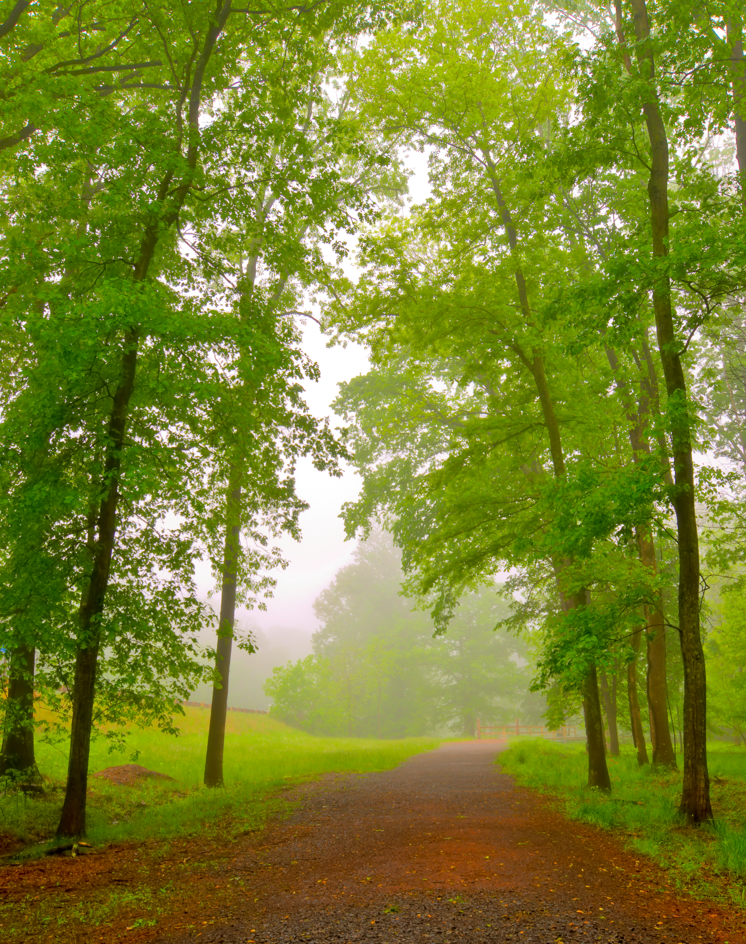
Misty Field.

Chantilly VA - Steven F. Udvar-Hazy Center - Mikoyan-Gurevich MiG-21 02

The Golden Path.
High Mountain Farm

Blackbird Rear View
:: for me ::
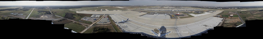
Airport Photography (EXPLORED)
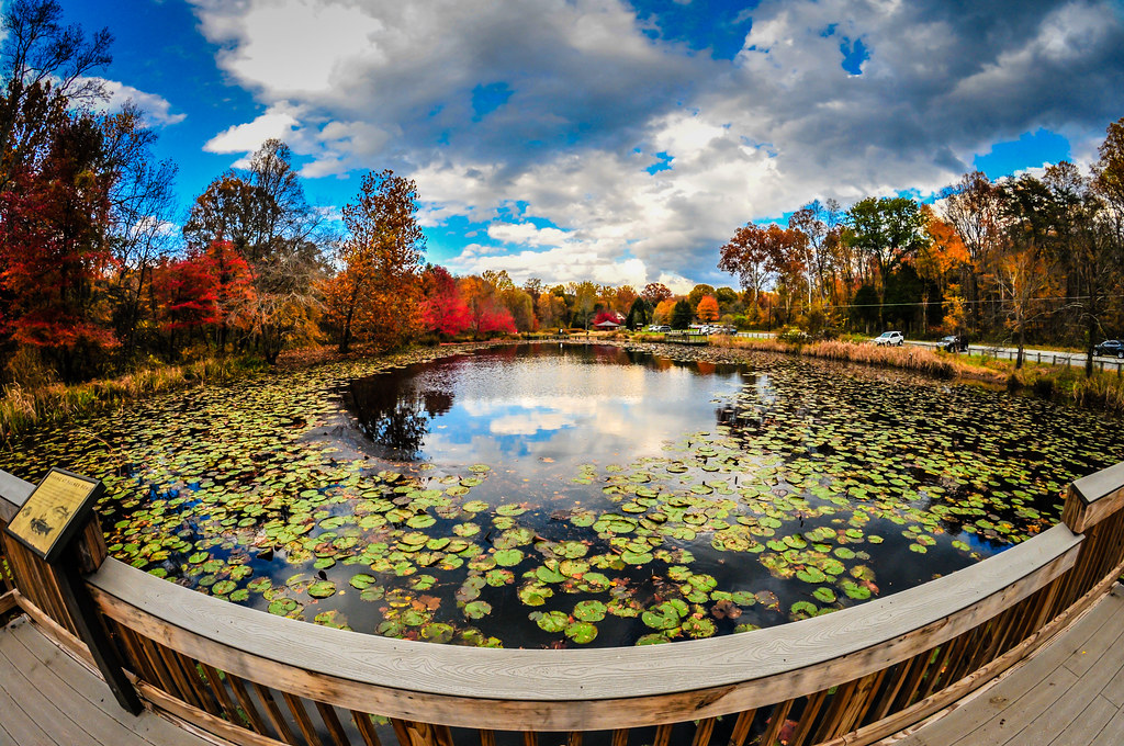
Fish Eye view of the Lily Pads on Walney Pond Centreville VA

Self-Portrait

Trees In The Mist I
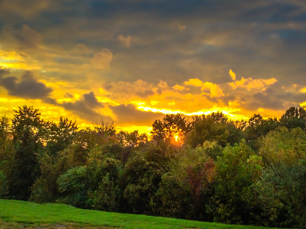
Sunset in the neighborhood - Drive Home View
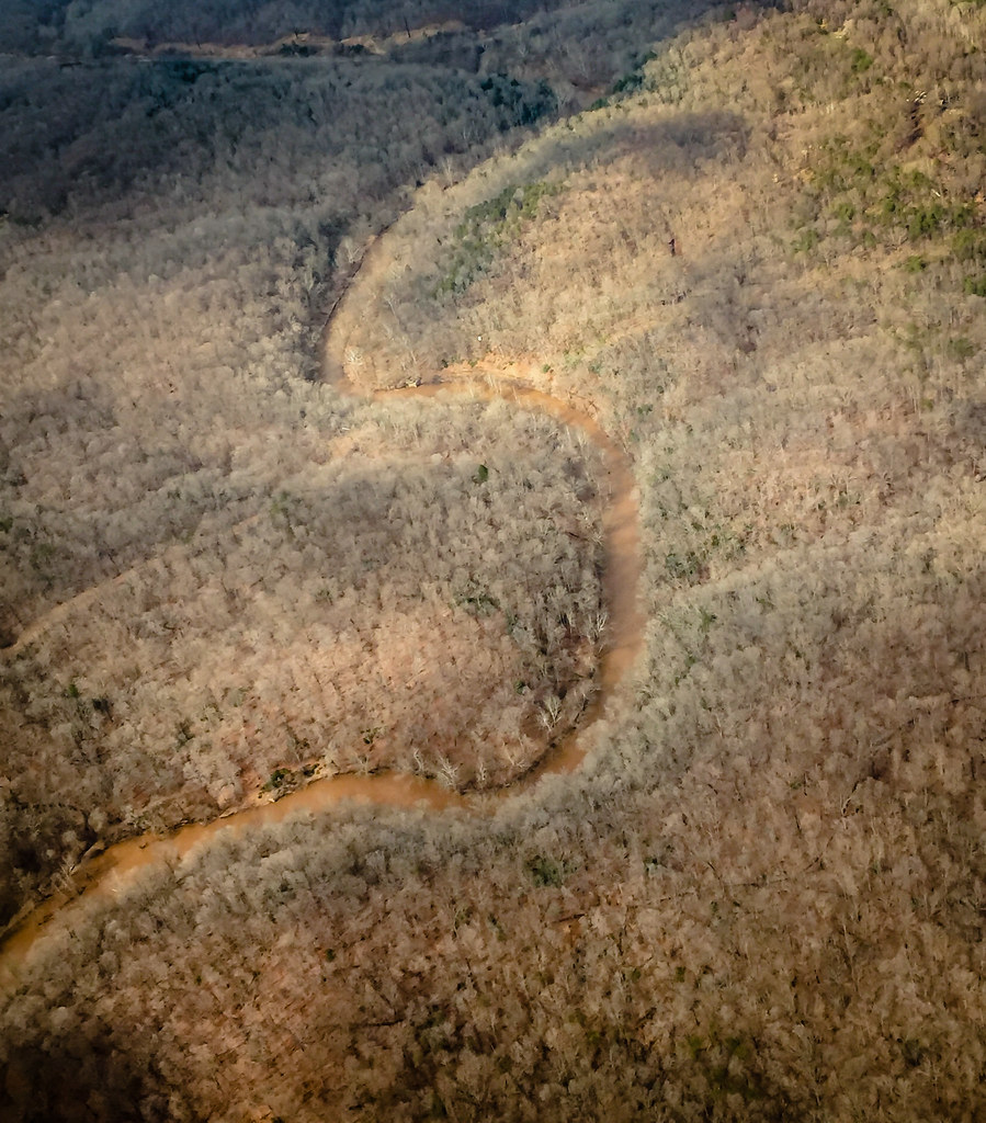
Aerial view of Bull Run Manassas VA

Steven F. Udvar-Hazy Center: Photomontage of SR-71 on the port side

Airplane Heaven (National Air and Space Museum)

Chantilly VA - Steven F. Udvar-Hazy Center - Steven F. Udvar-Hazy Center Mikoyan-Gurevich MiG-21
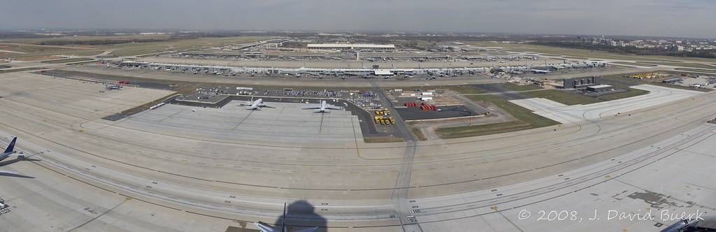
Airport Photography

Fall Colors of the Shenandoah and Blue Ridge Mountains viewed from Centreville VA

SR-71 Blackbird

Silos with a tree growing out of one

Steven F. Udvar-Hazy Center: Photomontage of Overview of the south hangar, including B-29 "Enola Gay" and Concorde

House on a Hill
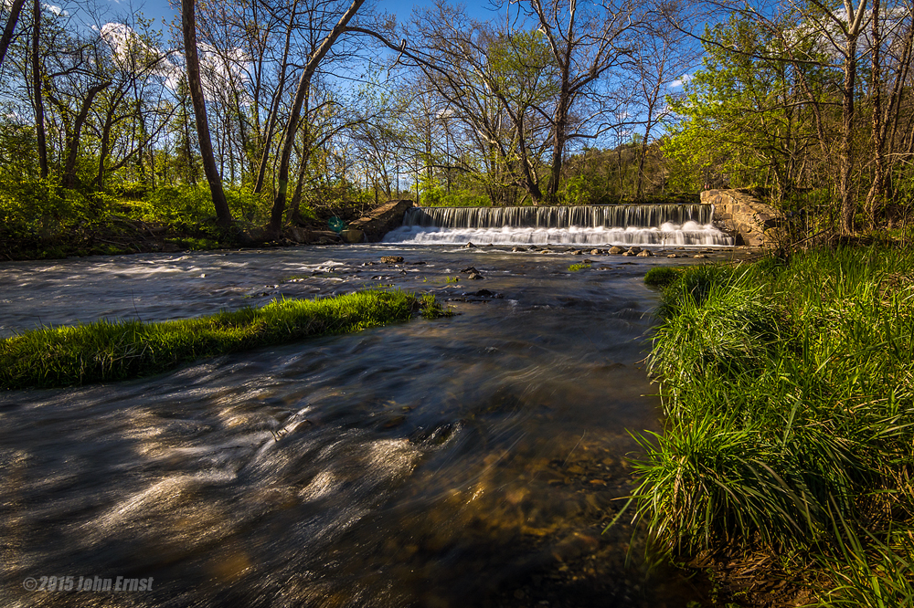
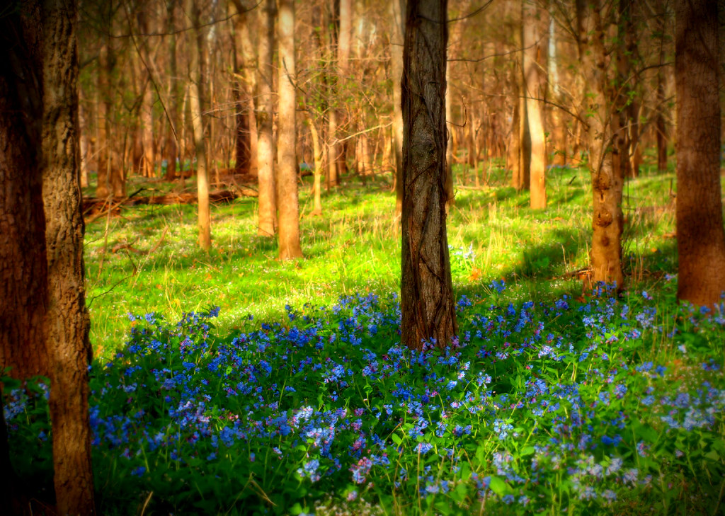
Aldie Dam Spring 2

Henry House Hill

"The true way to live is to enjoy every moment as it passes, and surely it is in the everyday things around us that the beauty of life lies." -Laura Ingalls Wilder #bluronpurpose #lensbaby #seeinanewway #manassasnationalbattlefield #manassas #virginia
Sea of Grain Sunset
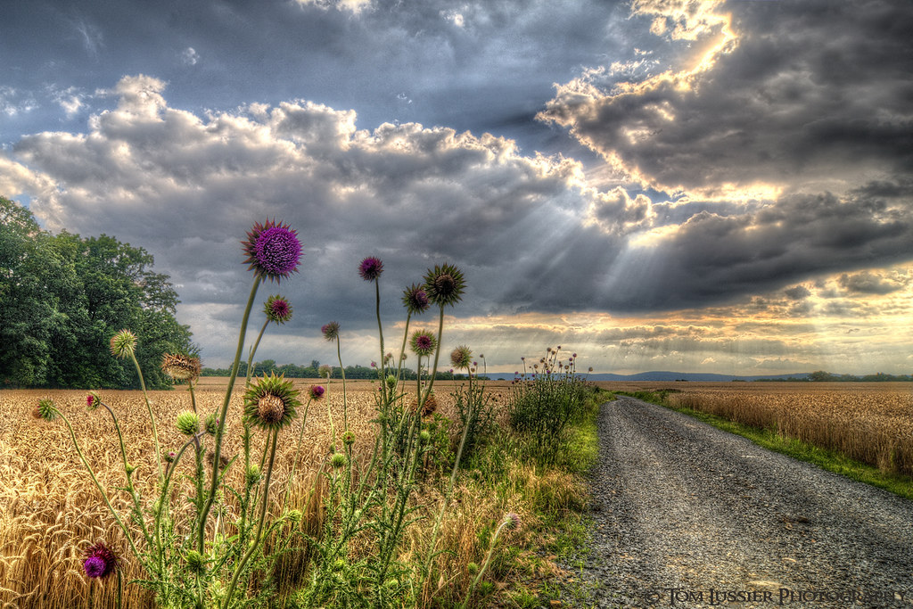
Road of Plenty (Thistle Road)

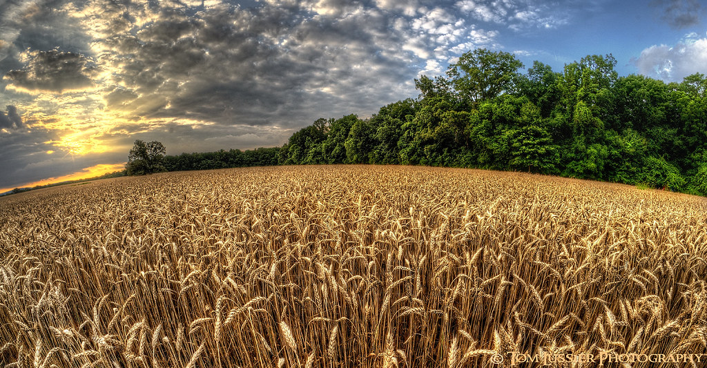
Amber Waves Afternoon ~ Explore ~

Lake Brittle
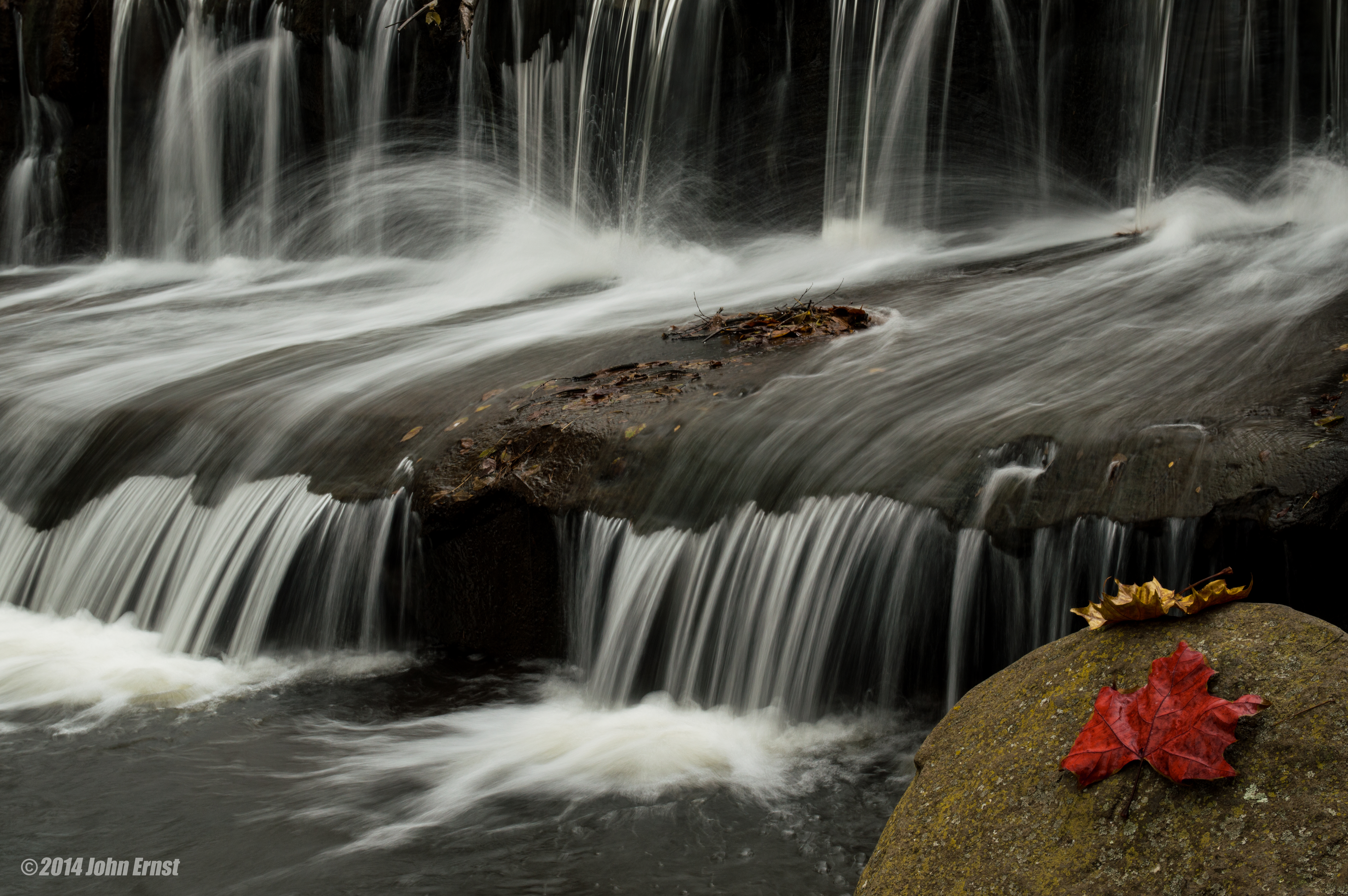
Aldie Dam in the fall
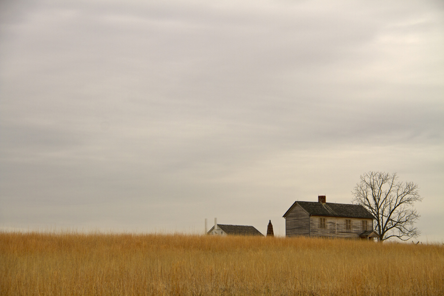
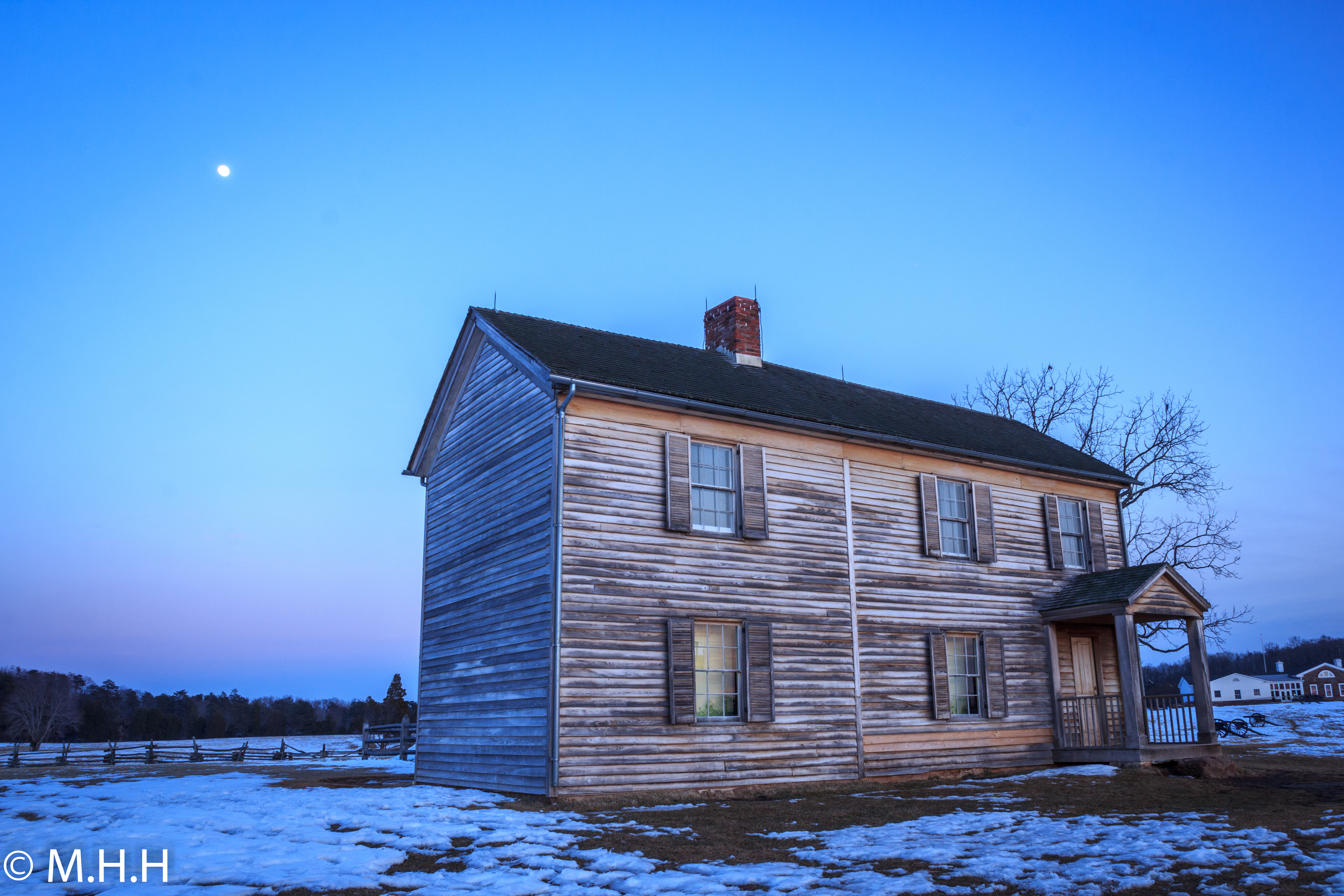
The Henry House - Manassas Battlefield
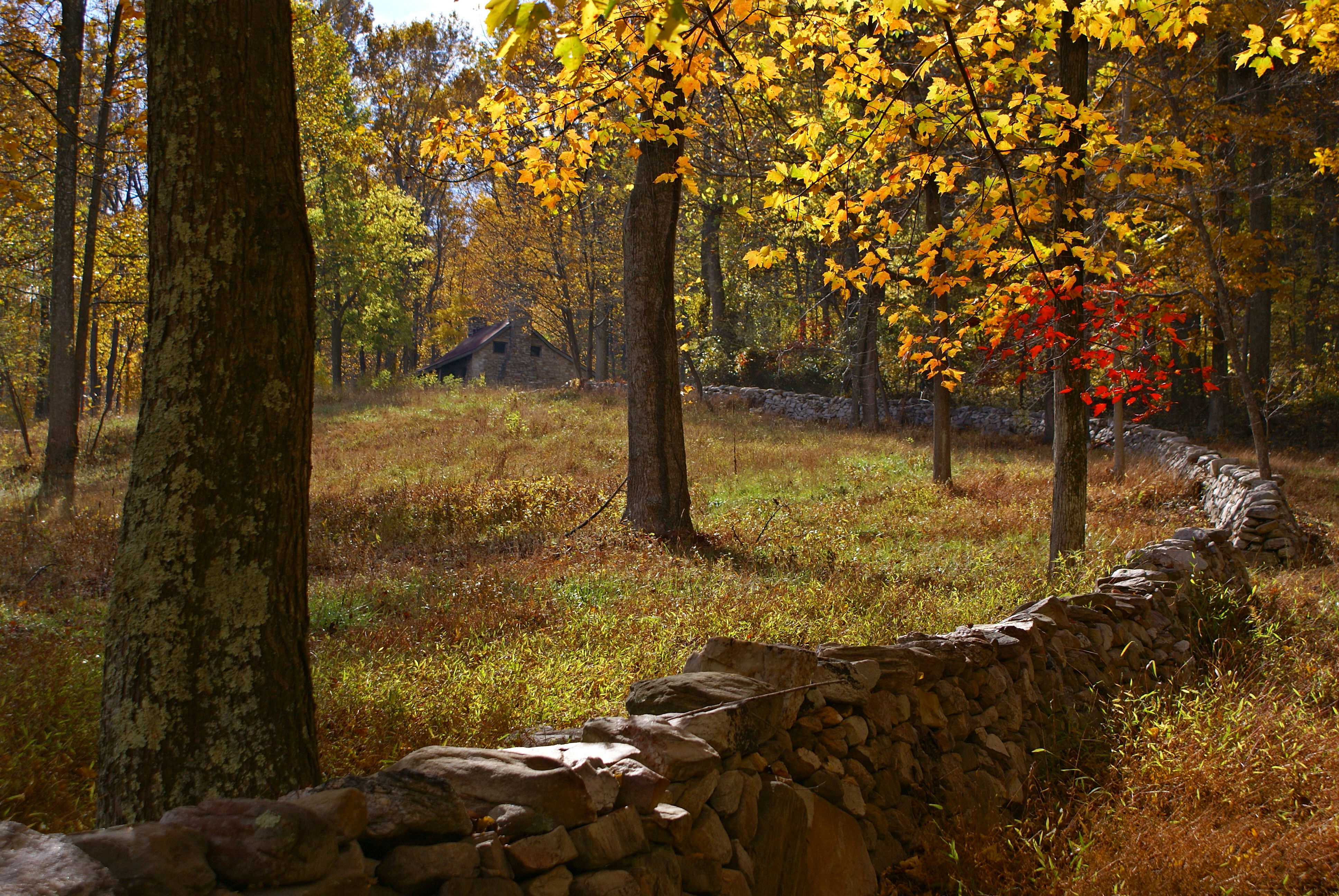
Virginia Farm Workhouse

Buckland Farm

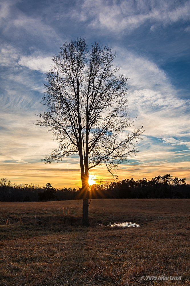
The Old Tree
Manassas Battlefield Sunrise
Manassas National Battlefield Park

Clouds over D.C.
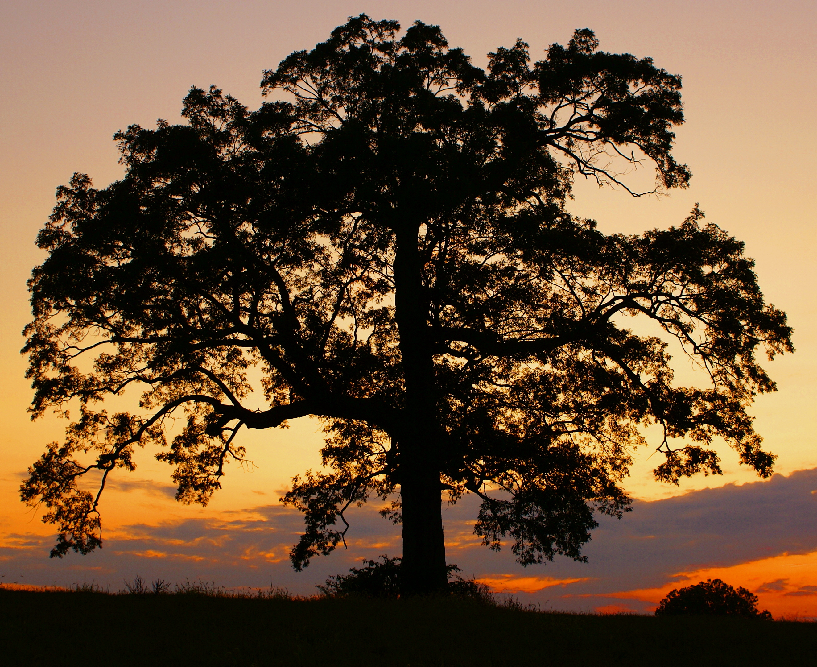
Solitary Tree
Lone Tree in Summer

Tonight's sunset sky. Hello glorious. #sunset #pictapgo_app #manassas #virginia #iloveskies #bullrun
Topographic Map of Old Field Dr, Gainesville, VA, USA
Find elevation by address:

Places near Old Field Dr, Gainesville, VA, USA:
Canter Ln, Catharpin, VA, USA
Lawnvale Dr, Gainesville, VA, USA
4825 Lawnvale Dr
26798 Barnsley Place
26604 Marbury Estates Dr
Little River Rd, Haymarket, VA, USA
Bull Run Golf Club
40896 Birdstone Ln
24950 Big Belt Ct
New Hope Dr, Haymarket, VA, USA
25181 Riding Center Dr
25671 Tremaine Terrace
24661 Woolly Mammoth Terrace
Woolly Mammoth Terrace
4104 Mt Atlas Ln
24634 Greysteel Square
Waterfall Road
40664 Sousa Pl
Mountain Road
2062 Heathfield Cir
Recent Searches:
- Elevation of Felindre, Swansea SA5 7LU, UK
- Elevation of Leyte Industrial Development Estate, Isabel, Leyte, Philippines
- Elevation of W Granada St, Tampa, FL, USA
- Elevation of Pykes Down, Ivybridge PL21 0BY, UK
- Elevation of Jalan Senandin, Lutong, Miri, Sarawak, Malaysia
- Elevation of Bilohirs'k
- Elevation of 30 Oak Lawn Dr, Barkhamsted, CT, USA
- Elevation of Luther Road, Luther Rd, Auburn, CA, USA
- Elevation of Unnamed Road, Respublika Severnaya Osetiya — Alaniya, Russia
- Elevation of Verkhny Fiagdon, North Ossetia–Alania Republic, Russia