Elevation of Old Ferry Rd, Monte Creek, BC V0E 2M0, Canada
Location: Canada > British Columbia > Thompson-nicola >
Longitude: -119.95016
Latitude: 50.650258
Elevation: 352m / 1155feet
Barometric Pressure: 97KPa
Elevation Map:
Satellite Map:
Related Photos:
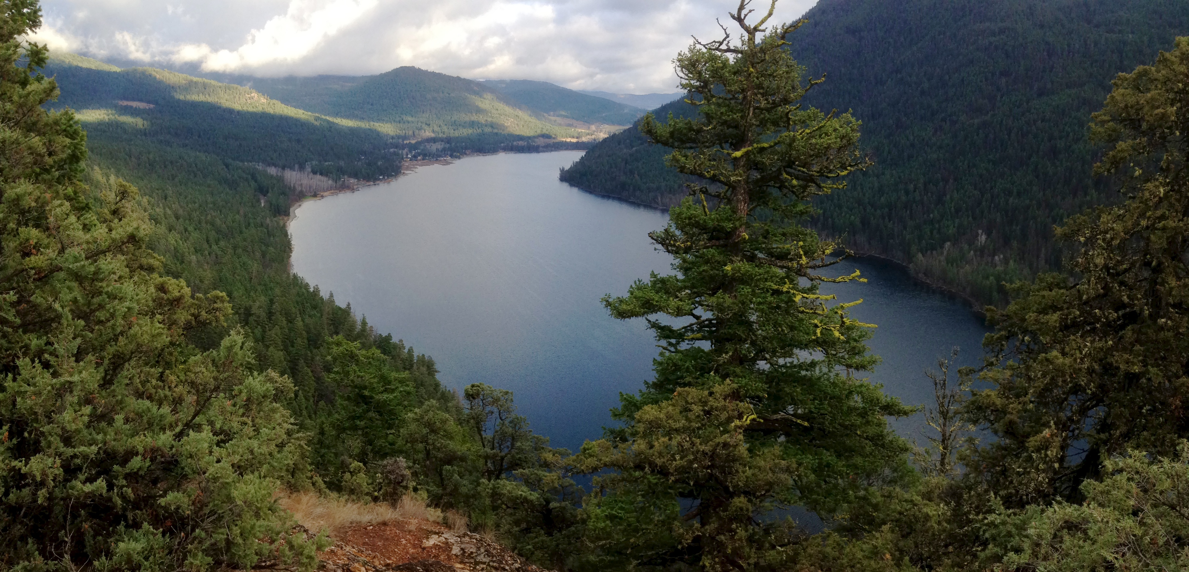
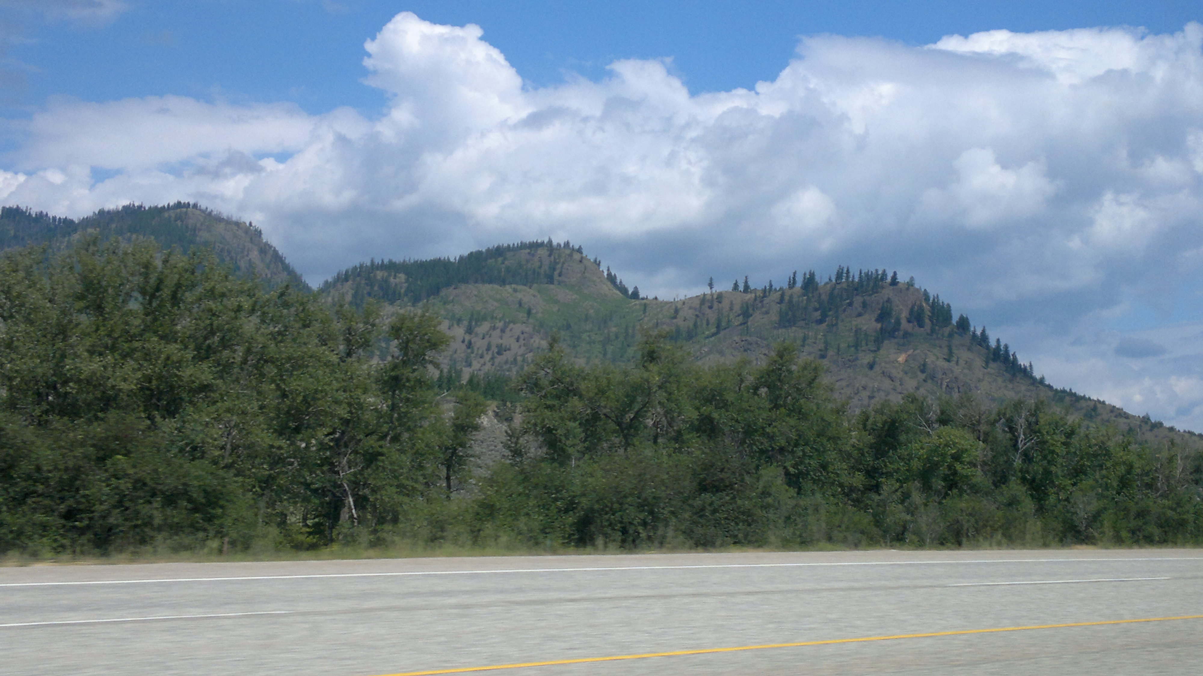
(Half of) Paul Lake

Thank you, Flickr! Great Gray Owl

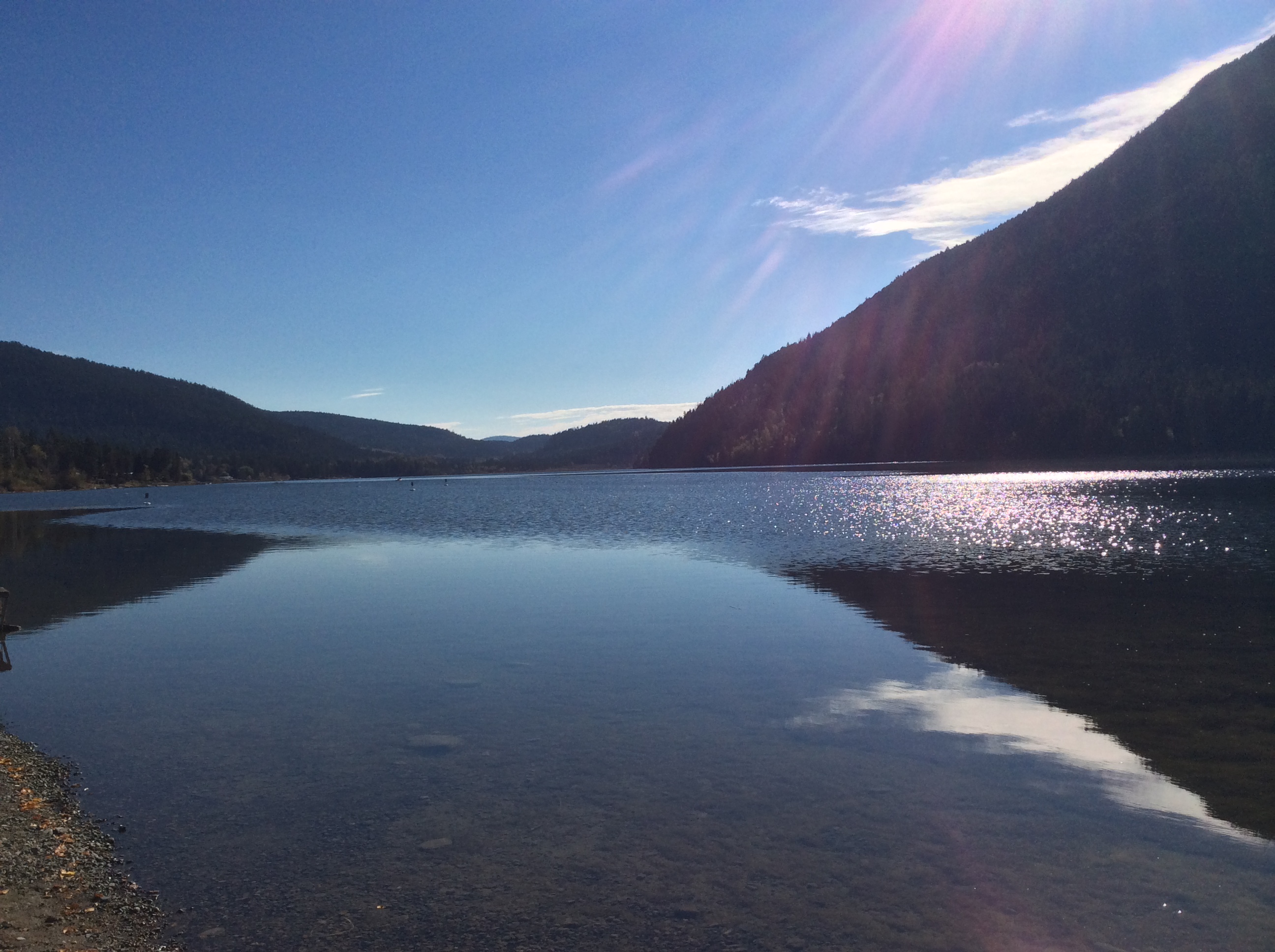
Buse Lake
Beautiful British Columbia

Cloud Stretch

Storm Flood
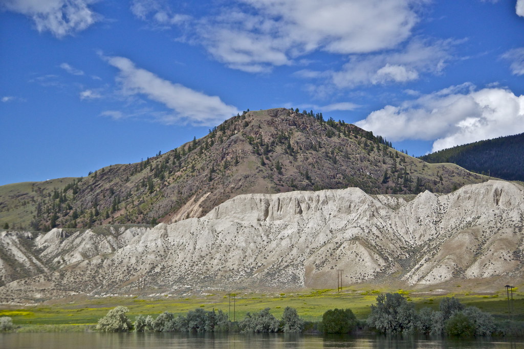
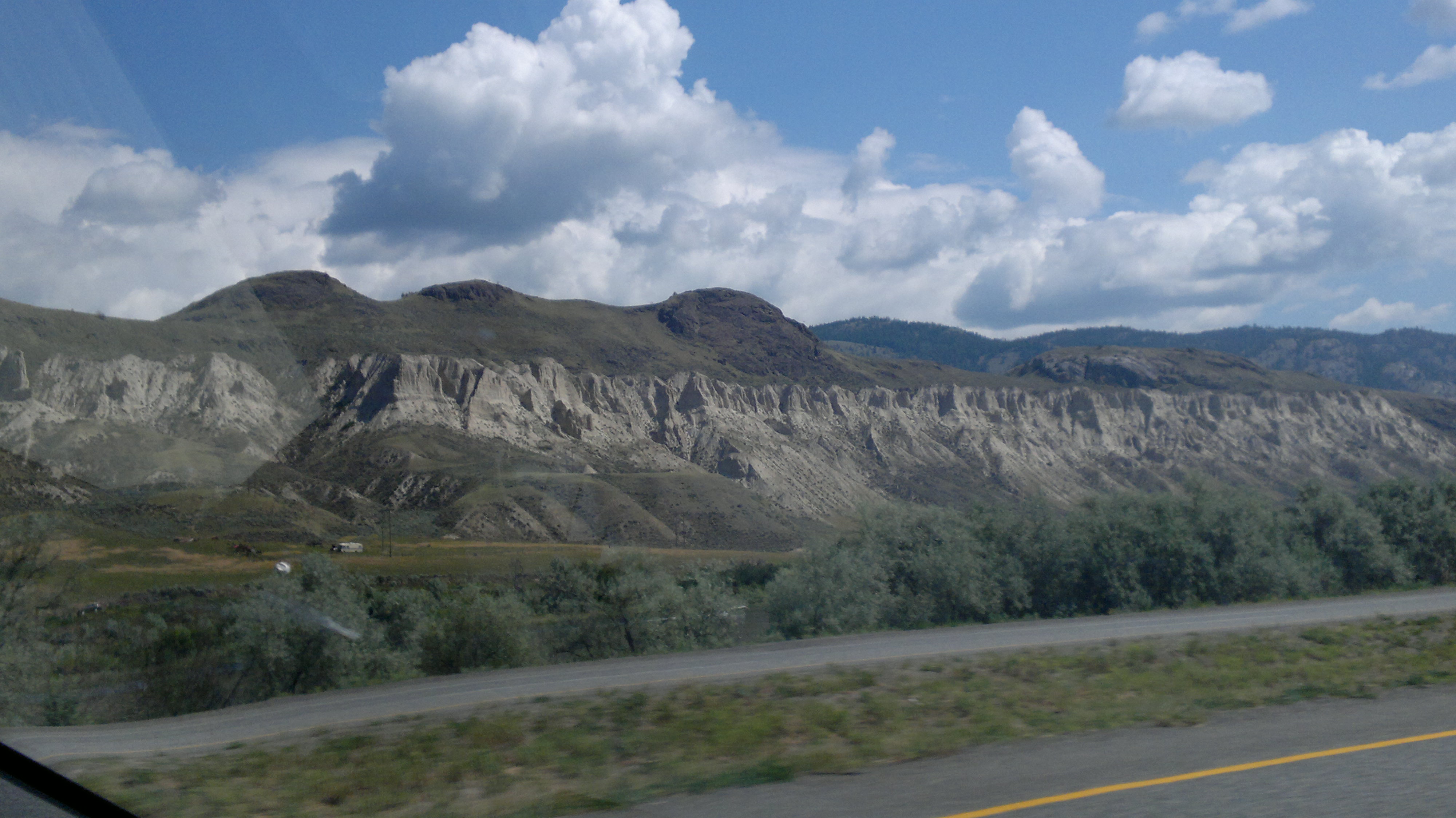
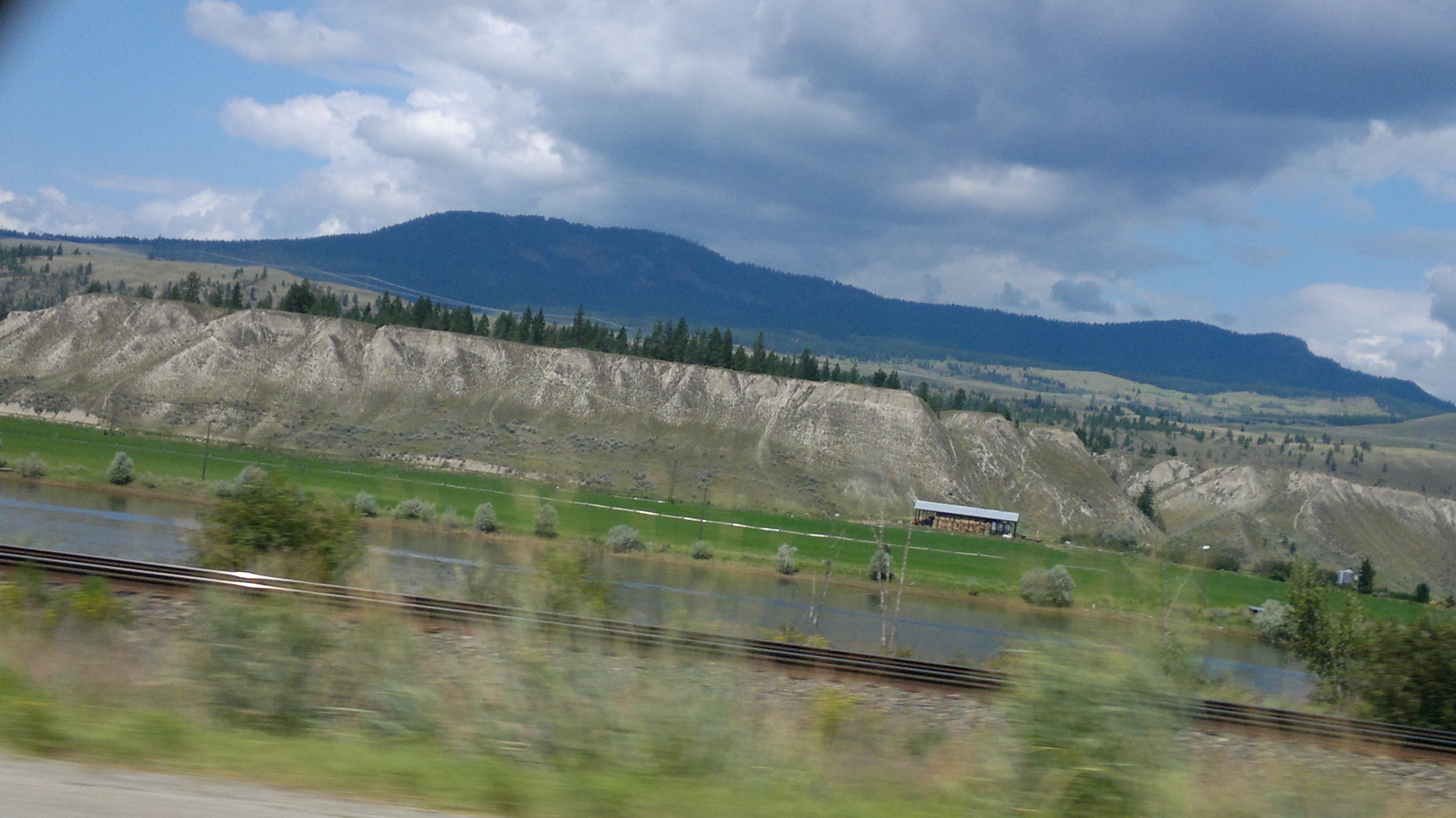
Kamloops b.c

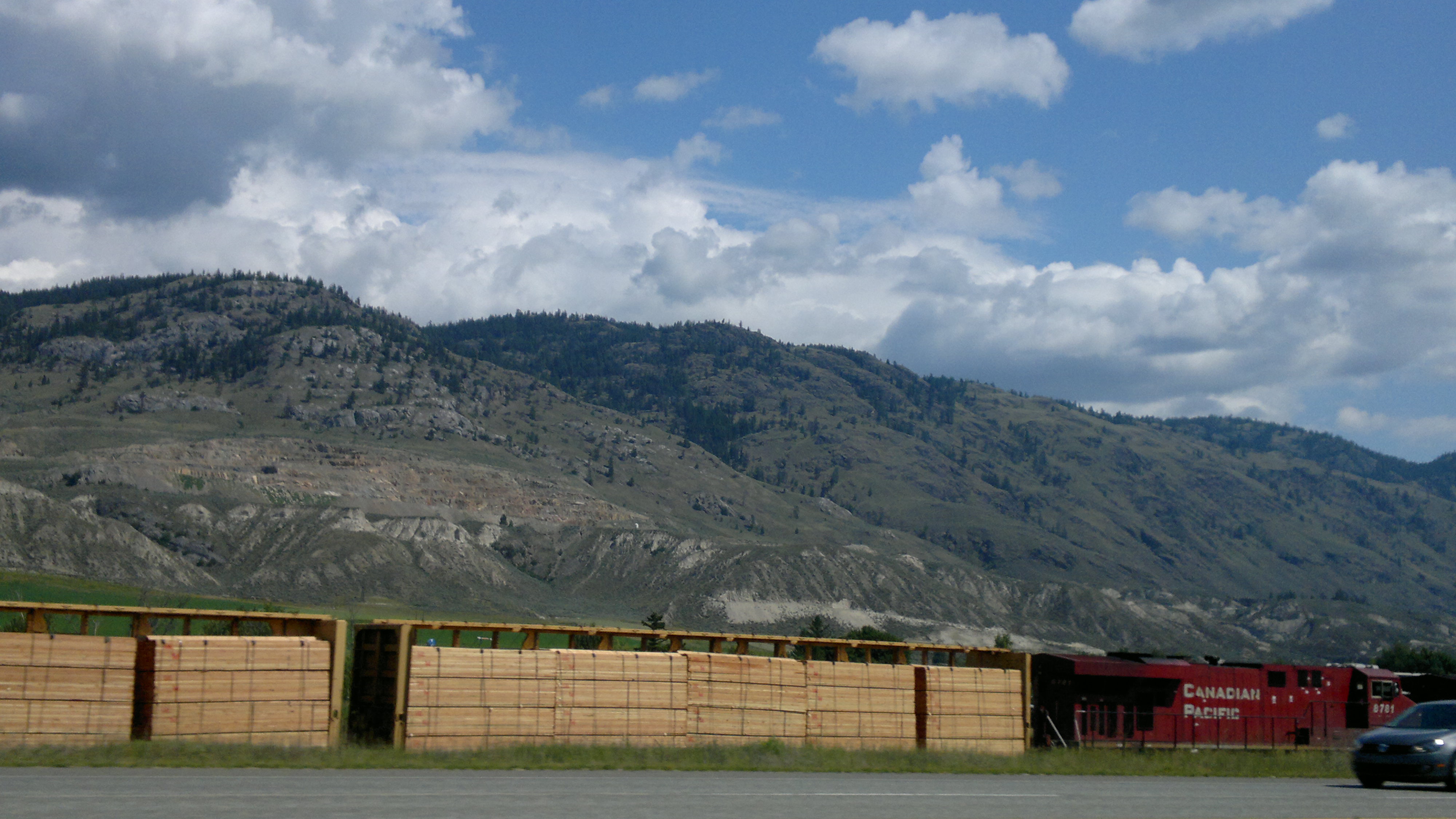
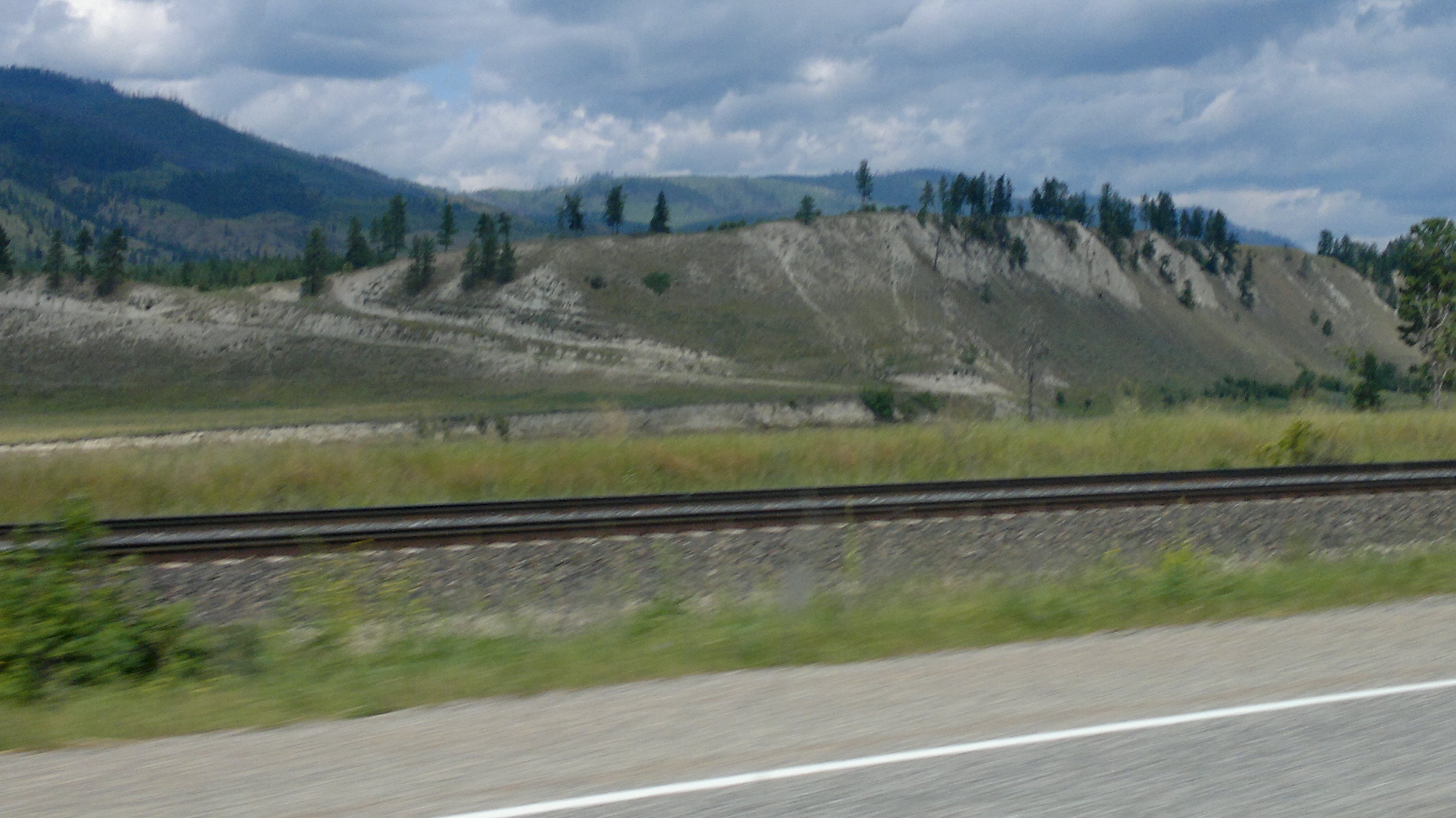
2012-07-28-7451
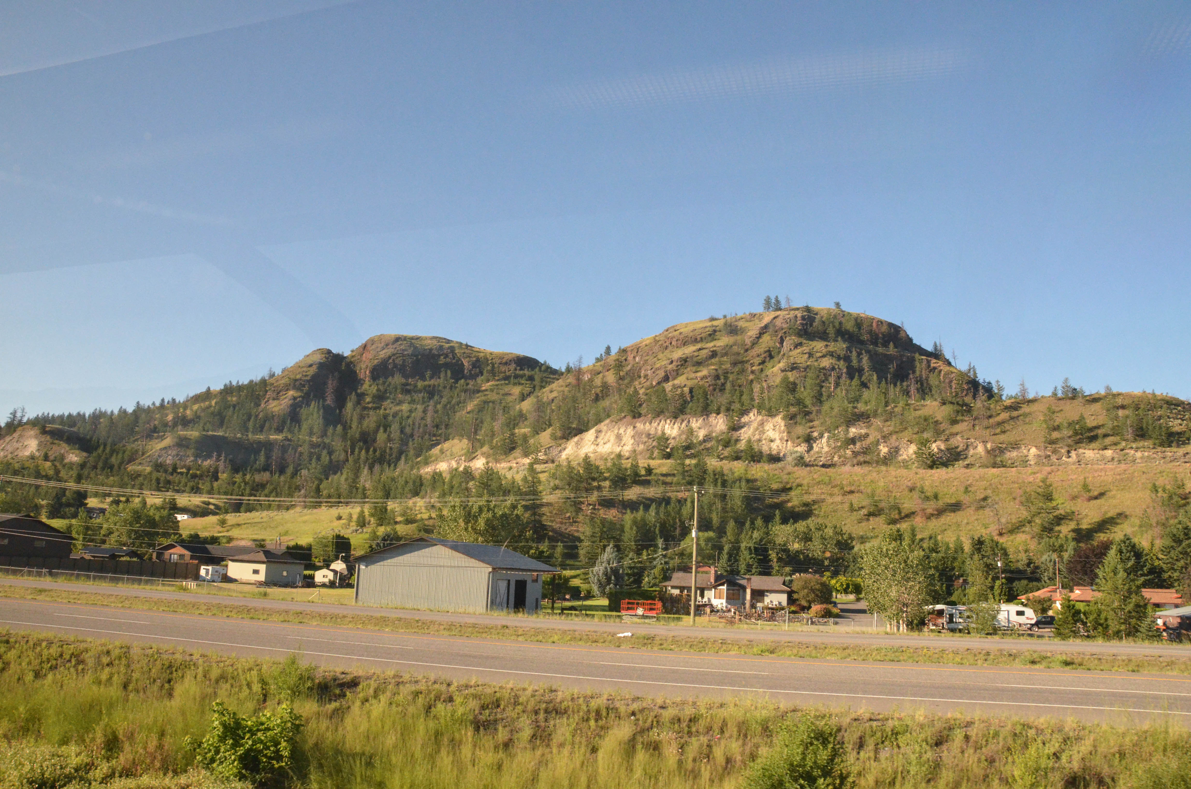
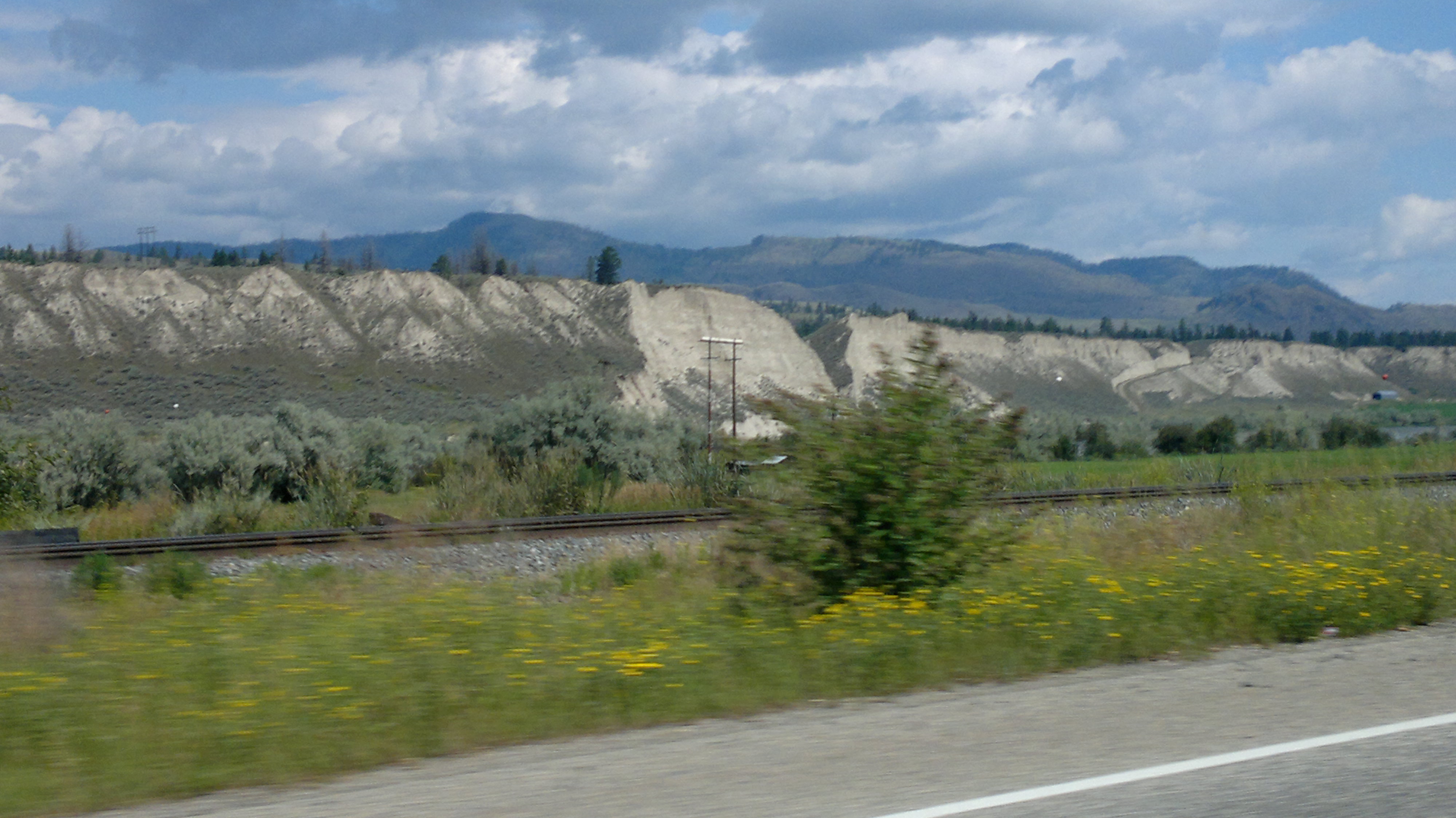
2012-07-28-7408

2012-07-28-7408
2012-07-28-7451
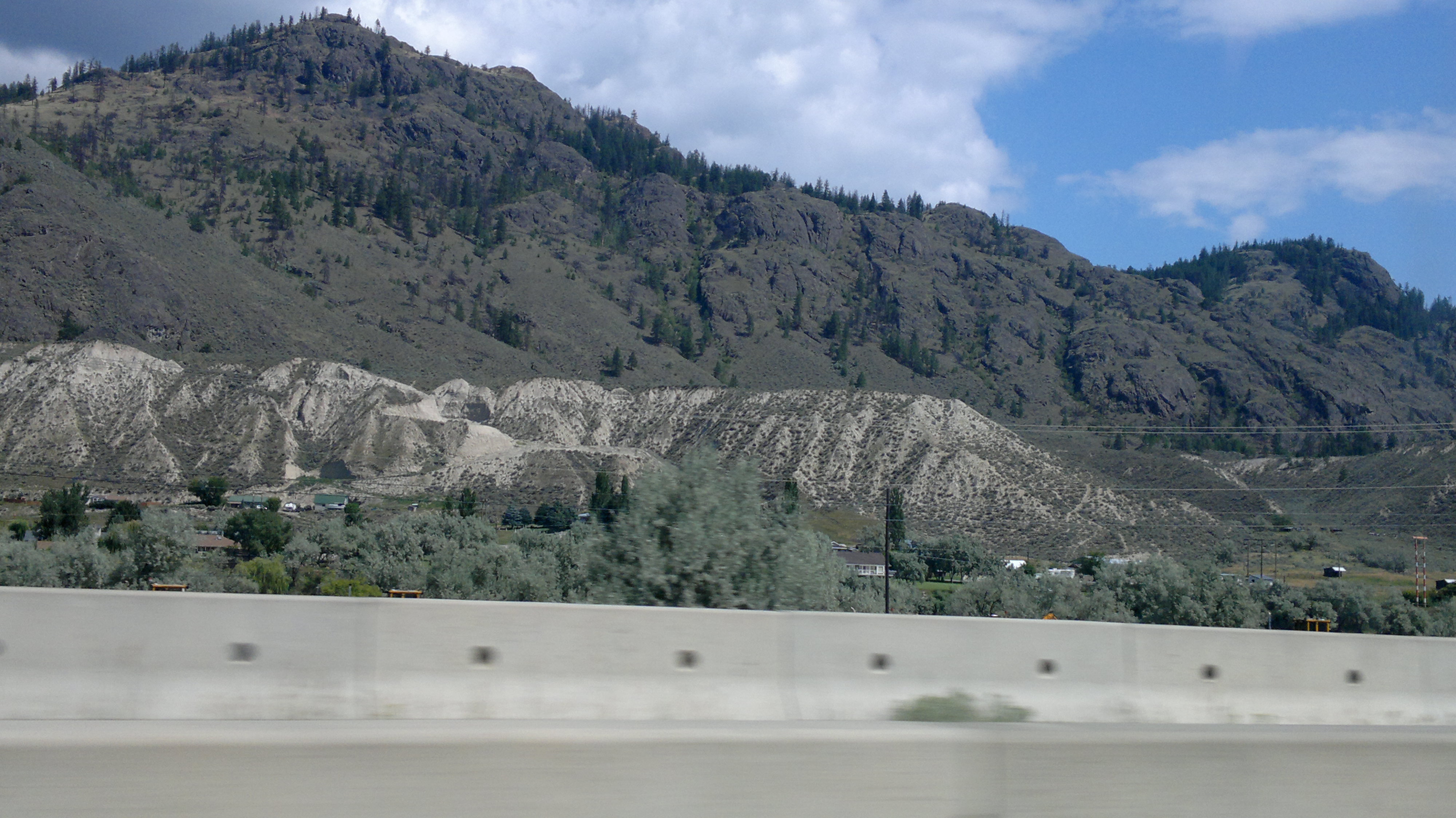
2012-07-28-7410
DSC_2465.jpg

2012-07-28-7410
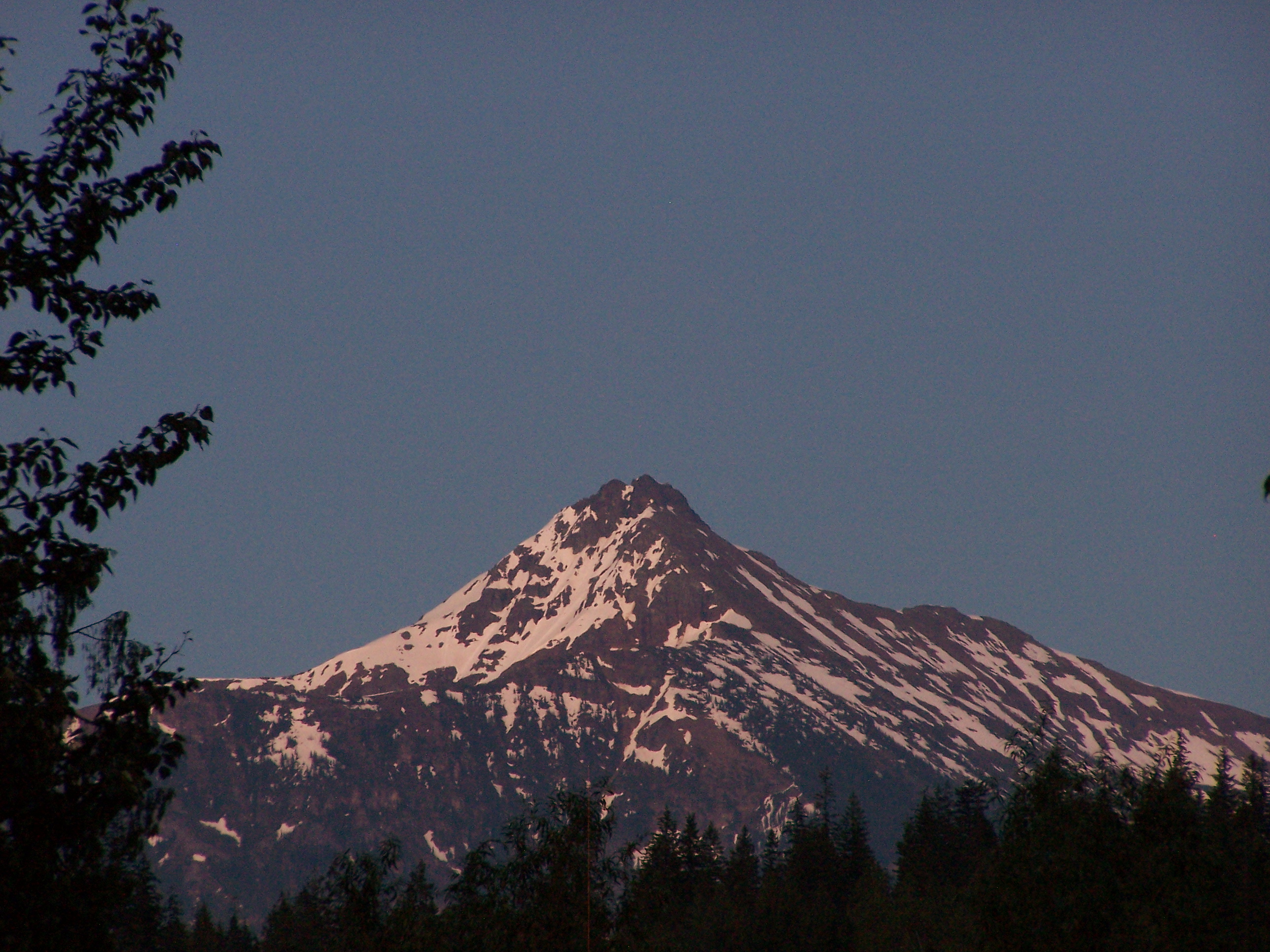
Mount Revelstoke

2012-07-28-7465
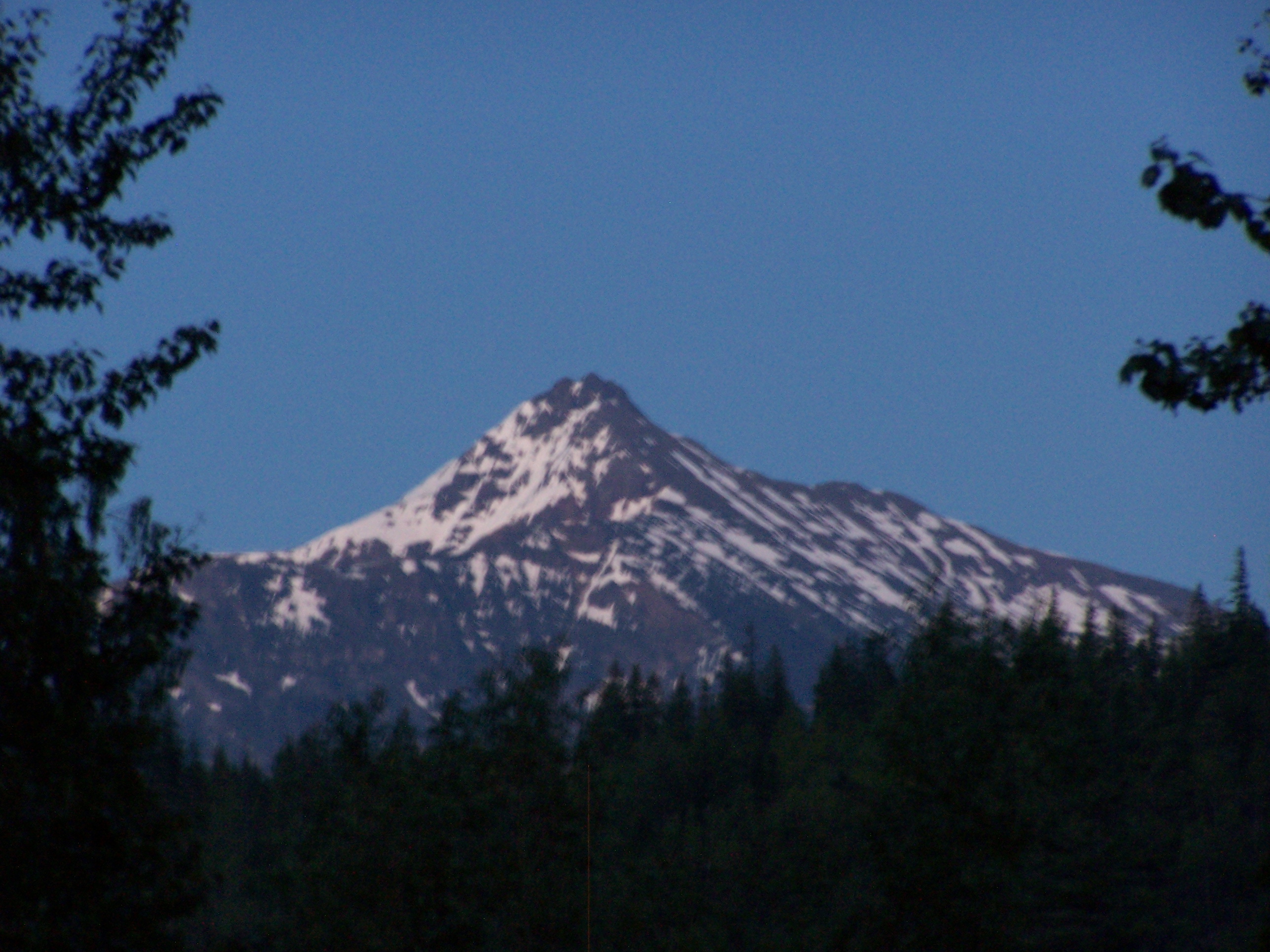
Mount Revelstoke

In Need of Rain
2012-07-28-7465
2012-07-28-7447
2012-07-28-7439
2012-07-28-7457
Topographic Map of Old Ferry Rd, Monte Creek, BC V0E 2M0, Canada
Find elevation by address:

Places near Old Ferry Rd, Monte Creek, BC V0E 2M0, Canada:
Monte Creek
Monte Creek-pinantan Road
Barnhartvale Road
Pinantan Lake
2943 Piva Rd
Campbell Creek
8017 Badger Dr
8017 Badger Dr
250 Andover Crescent
Cowichan Drive
Cowichan Drive
Cowichan Drive
Barnhartvale
7155 Dallas Dr
6509 Barnhartvale Rd
Dallas
1181 Highridge Dr
5906 Cooney Rd
5840 Leonard Pl
1220 Clearview Dr
Recent Searches:
- Elevation of Corso Fratelli Cairoli, 35, Macerata MC, Italy
- Elevation of Tallevast Rd, Sarasota, FL, USA
- Elevation of 4th St E, Sonoma, CA, USA
- Elevation of Black Hollow Rd, Pennsdale, PA, USA
- Elevation of Oakland Ave, Williamsport, PA, USA
- Elevation of Pedrógão Grande, Portugal
- Elevation of Klee Dr, Martinsburg, WV, USA
- Elevation of Via Roma, Pieranica CR, Italy
- Elevation of Tavkvetili Mountain, Georgia
- Elevation of Hartfords Bluff Cir, Mt Pleasant, SC, USA