Elevation of Old Columbia Rd, Angie, LA, USA
Location: United States > Louisiana > Washington Parish > >
Longitude: -89.825169
Latitude: 30.8630606
Elevation: 35m / 115feet
Barometric Pressure: 101KPa
Elevation Map:
Satellite Map:
Related Photos:
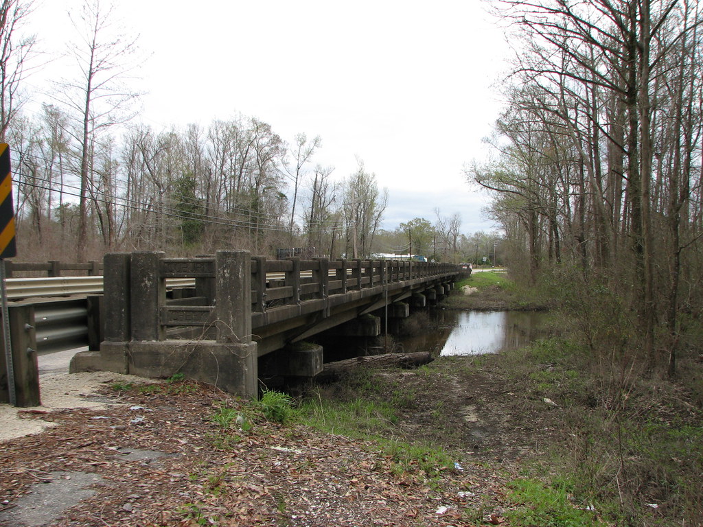
Coburn Creek-Side View
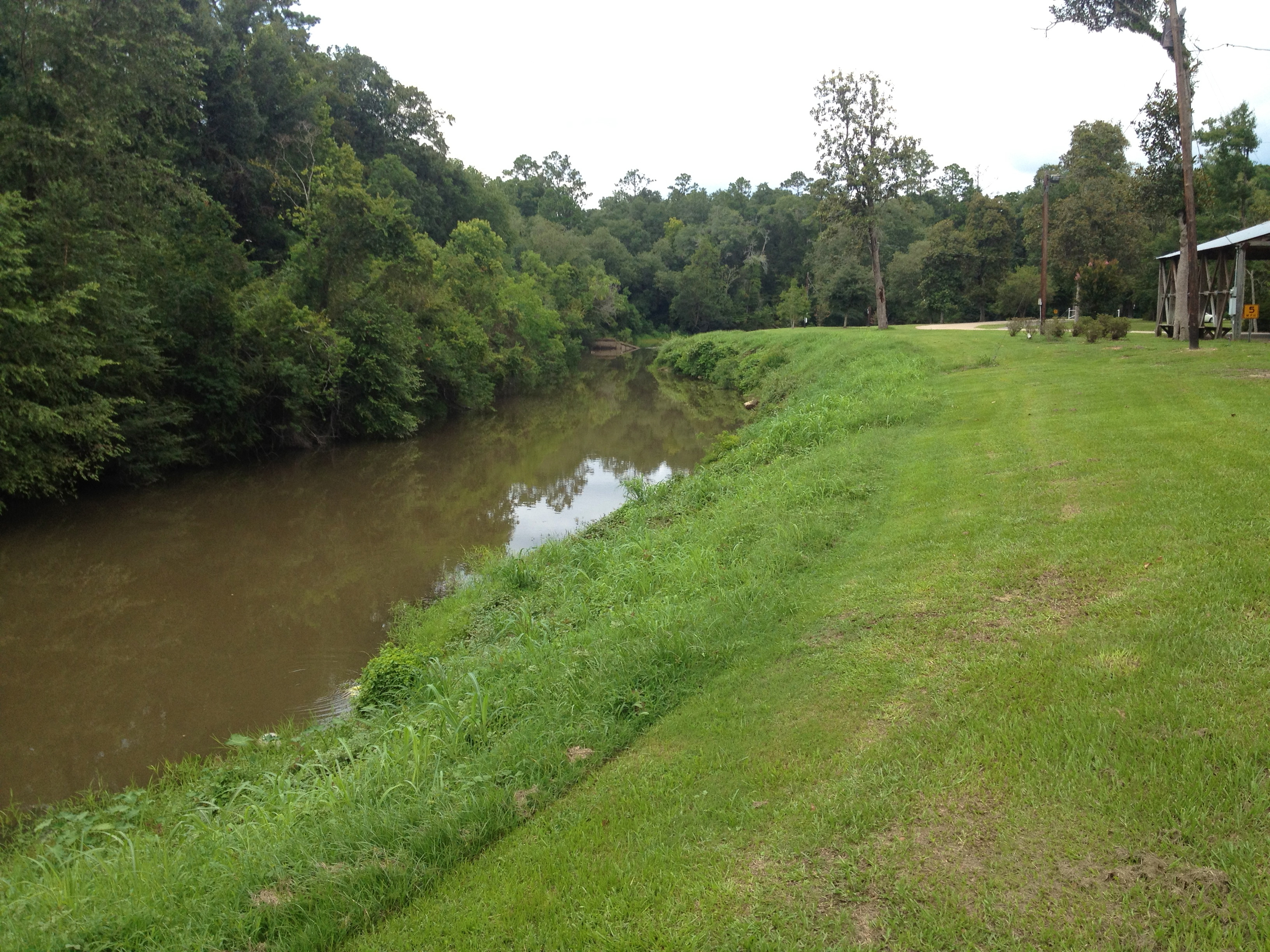
The bogue

Men on the move
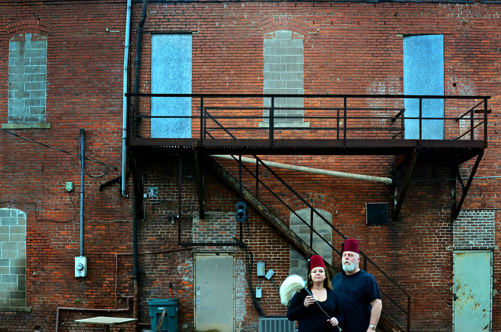
The Feng Shui Consultants of Bogalusa prepare to work their magic on the alley behind Harvey's Dance Club

"Can I take your picture?" "I don't care." "I'm gonna put it on the Internet." "That's okay, I'm not wanted anymore." Jerome and Otis. #cigars #afuente #arturofuente #tobaccooutcast #tobacco #bogalusa #Louisiana

Ashton Maduro. #cigars #tobaccooutcast #tobacco

Stinky. #bogalusa #usa #Louisiana

Fantastic! #Louisiana #secondamendment #opencarry #america
Topographic Map of Old Columbia Rd, Angie, LA, USA
Find elevation by address:

Places near Old Columbia Rd, Angie, LA, USA:
23242 Old Columbia Rd
23242 Old Columbia Rd
4, LA, USA
25639 Coleman St
7614 Ms-43
Bogalusa
915 Louisiana Ave
3, LA, USA
604 Caston Ave
MS-26, Poplarville, MS, USA
630 Ave D
106 Ramsey-hall Rd
690 Quave Rd
155 Gobbler Head Rd
57573 Spring Valley Rd
57807 Spring Valley Rd
32 Lunker Ln
98 Quitman Perry Rd
2, LA, USA
Louisiana 436
Recent Searches:
- Elevation of Woodland Oak Pl, Thousand Oaks, CA, USA
- Elevation of Brownsdale Rd, Renfrew, PA, USA
- Elevation of Corcoran Ln, Suffolk, VA, USA
- Elevation of Mamala II, Sariaya, Quezon, Philippines
- Elevation of Sarangdanda, Nepal
- Elevation of 7 Waterfall Way, Tomball, TX, USA
- Elevation of SW 57th Ave, Portland, OR, USA
- Elevation of Crocker Dr, Vacaville, CA, USA
- Elevation of Pu Ngaol Community Meeting Hall, HWHM+3X7, Krong Saen Monourom, Cambodia
- Elevation of Royal Ontario Museum, Queens Park, Toronto, ON M5S 2C6, Canada