Elevation of Old Biloxi Rd, Vancleave, MS, USA
Location: United States > Mississippi > Jackson County > Vancleave >
Longitude: -88.881769
Latitude: 30.590599
Elevation: 15m / 49feet
Barometric Pressure: 101KPa
Elevation Map:
Satellite Map:
Related Photos:

May 08 2009_1524.JPG
DSCF0324-Edit

MsMissions02-07-2007gp 087
DSCF0383-Edit

Formby dunes

DSCF0327-Edit

Tall grass prairie

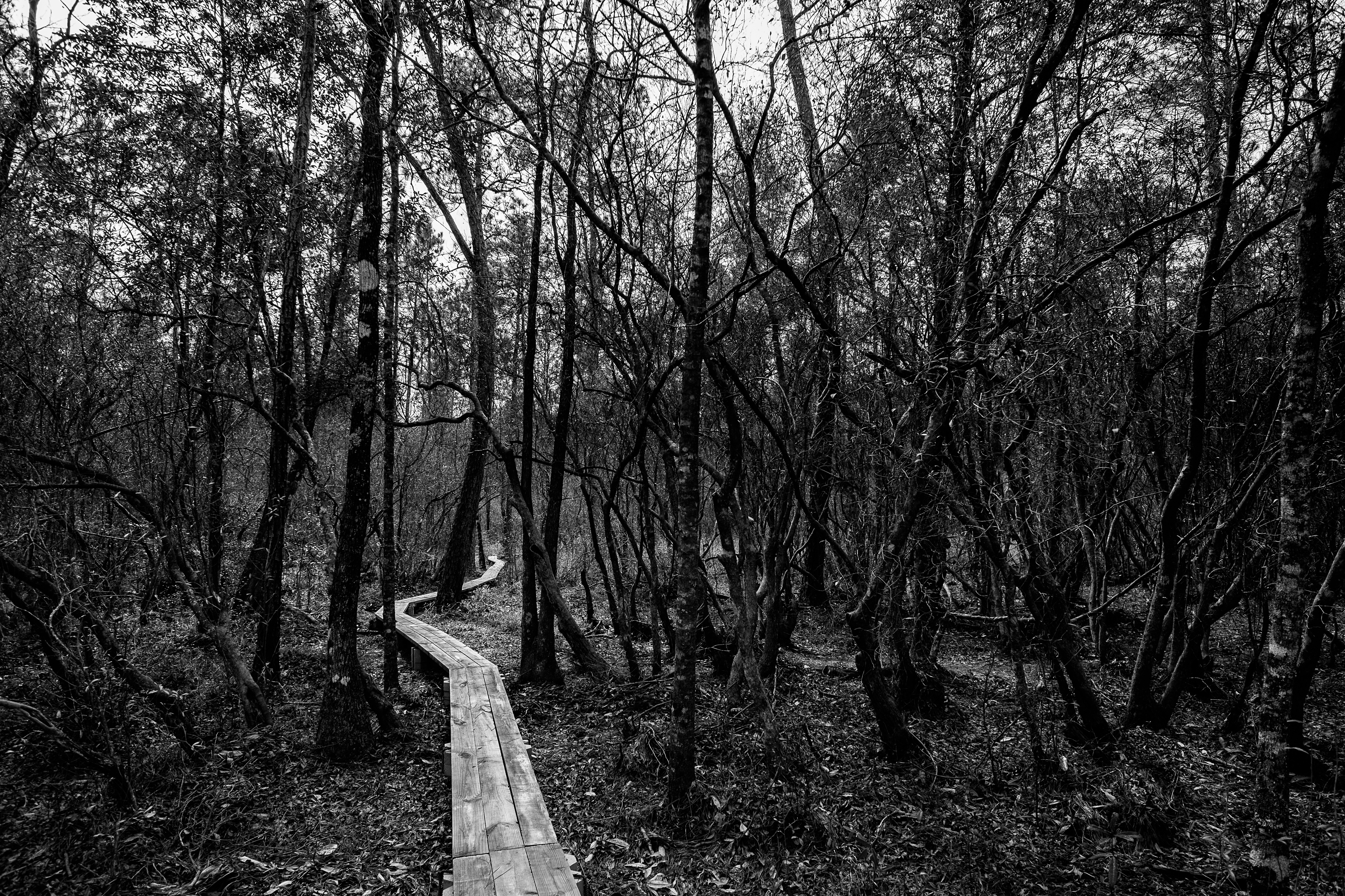
Broken Bridge

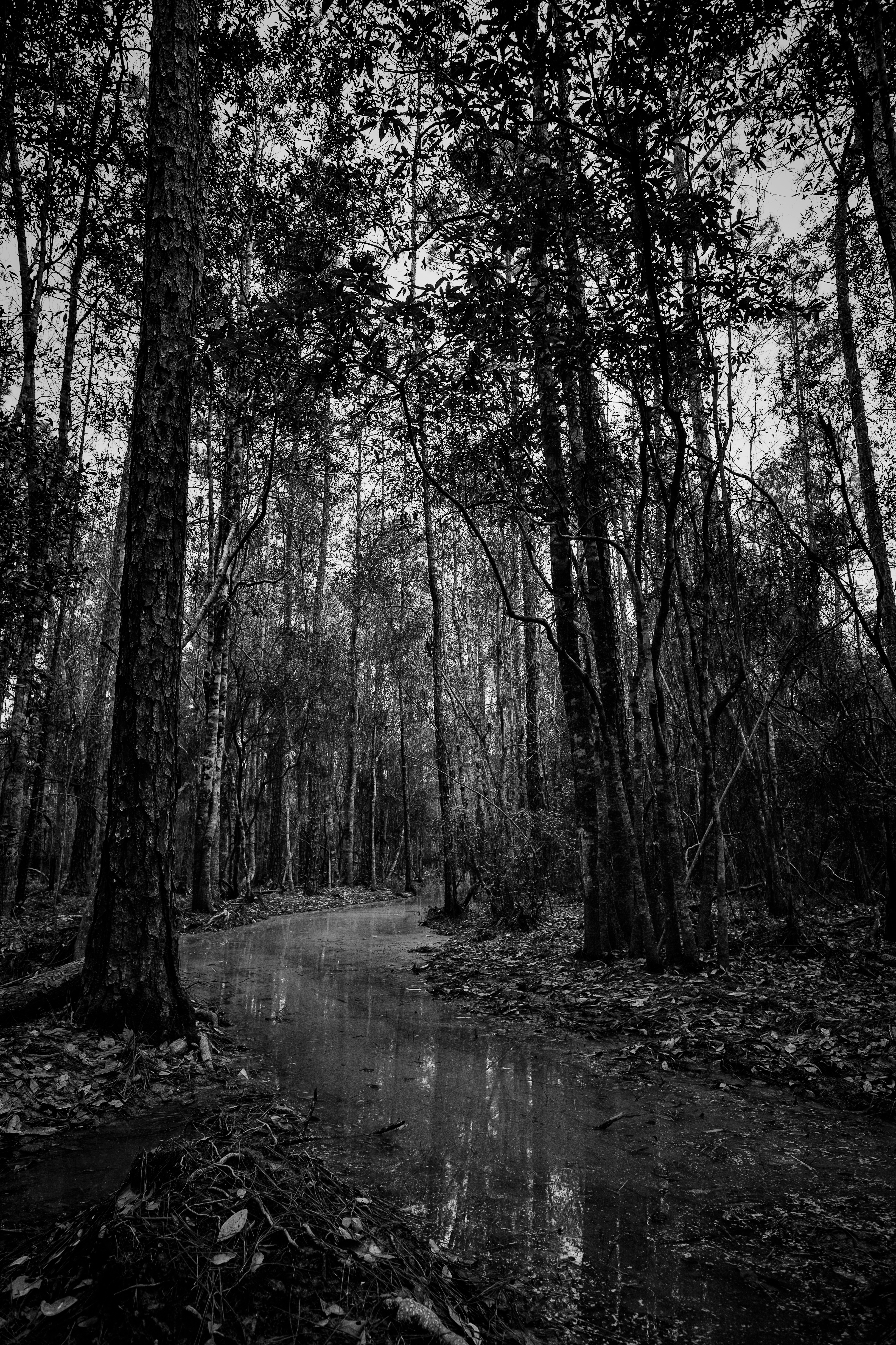
Flooded Trail
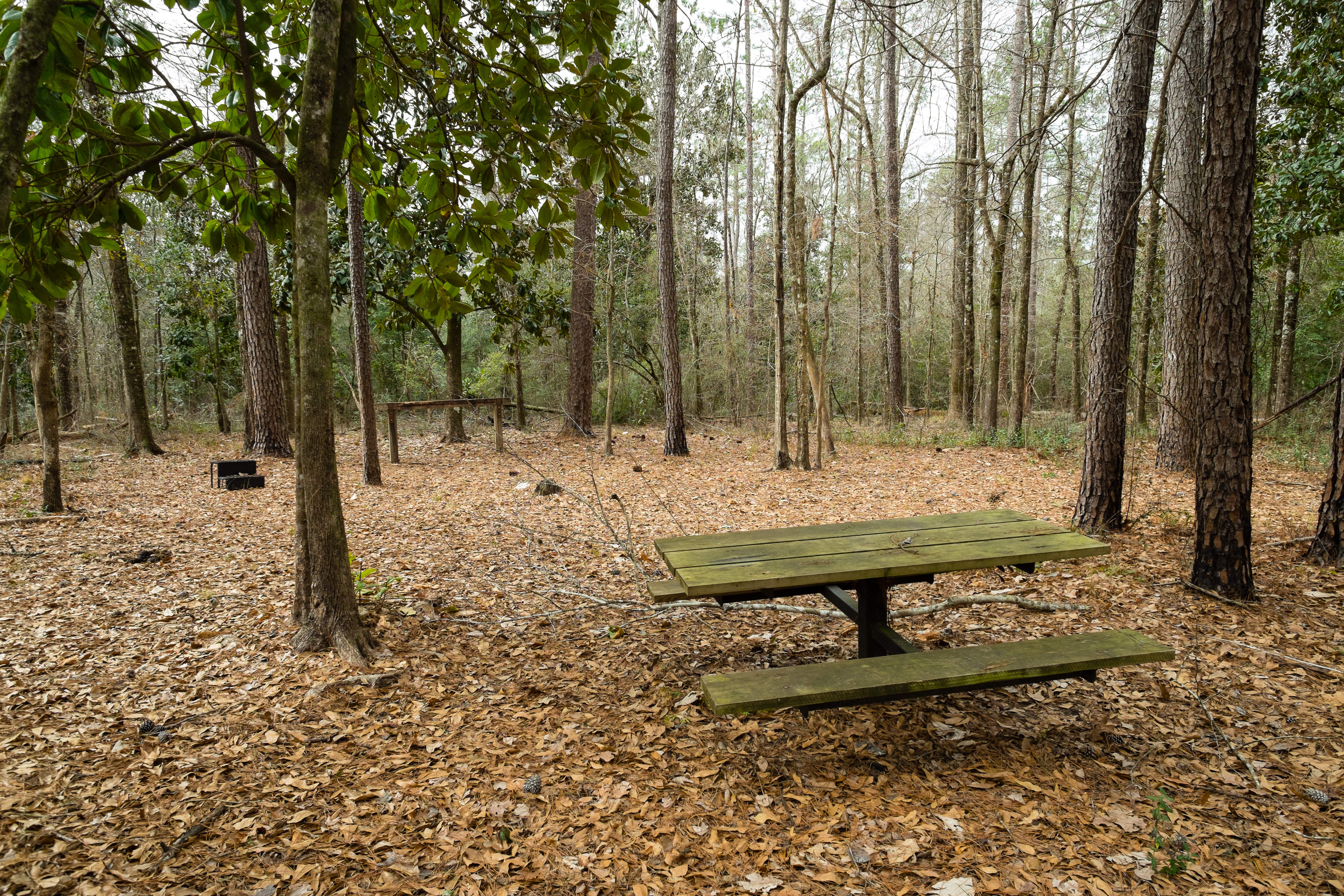
Horse Trail Camp

006_06_edited-2

D'Iberville 012
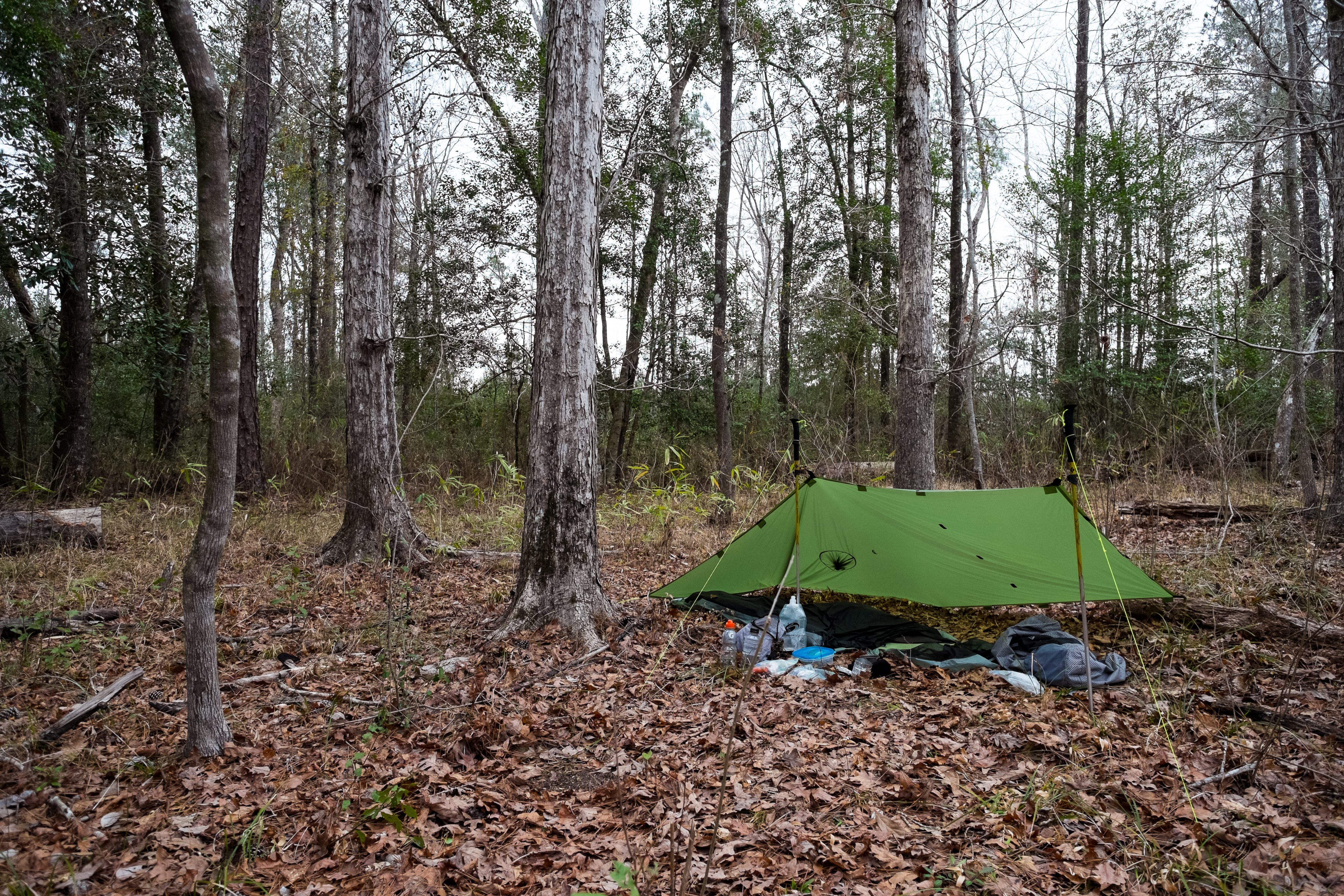
The Camp

D'Iberville 011

Nick & Jenna Birthday fun! ????????????

Bonnie & Clyde ????????
_DSC0750.jpg
_DSC0749.jpg
_DSC0748.jpg
_DSC0747.jpg
_DSC0746.jpg
_DSC0741.jpg
Topographic Map of Old Biloxi Rd, Vancleave, MS, USA
Find elevation by address:

Places near Old Biloxi Rd, Vancleave, MS, USA:
15421 Indian Fork Rd
14400 Scarborough Rd
Latimer
15410 Ms-15
15229 Haversham Pl
Latimer Community Center
15196 Camelot Dr
15104 Janus Rd
14537 Indian Trails Cir
15029 Pine Blvd
150 Ms-15
14191 Saddie St
10156 Daisy Vestry Rd
14129 Longwood Cir
14110 Longwood Dr
15048 Dantzler Rd
15416 Hudson Krohn Rd
10876 O Neal Rd
14601 Nature Trail Central
14608 Nature Trail Central
Recent Searches:
- Elevation of 87 Kilmartin Ave, Bristol, CT, USA
- Elevation of Honghe National Nature Reserve, QP95+PJP, Tongjiang, Heilongjiang, Jiamusi, Heilongjiang, China
- Elevation of Hercules Dr, Colorado Springs, CO, USA
- Elevation of Szlak pieszy czarny, Poland
- Elevation of Griffing Blvd, Biscayne Park, FL, USA
- Elevation of Kreuzburger Weg 13, Düsseldorf, Germany
- Elevation of Gateway Blvd SE, Canton, OH, USA
- Elevation of East W.T. Harris Boulevard, E W.T. Harris Blvd, Charlotte, NC, USA
- Elevation of West Sugar Creek, Charlotte, NC, USA
- Elevation of Wayland, NY, USA