Elevation of Okeechobee, FL, USA
Location: United States > Florida > Okeechobee County >
Longitude: -80.898650
Latitude: 27.3462015
Elevation: 11m / 36feet
Barometric Pressure: 101KPa
Elevation Map:
Satellite Map:
Related Photos:

13 02 25_2963_edited-2.psd

13 02 25_2966_edited-1.psd

13 02 25_2952_edited-1.psd
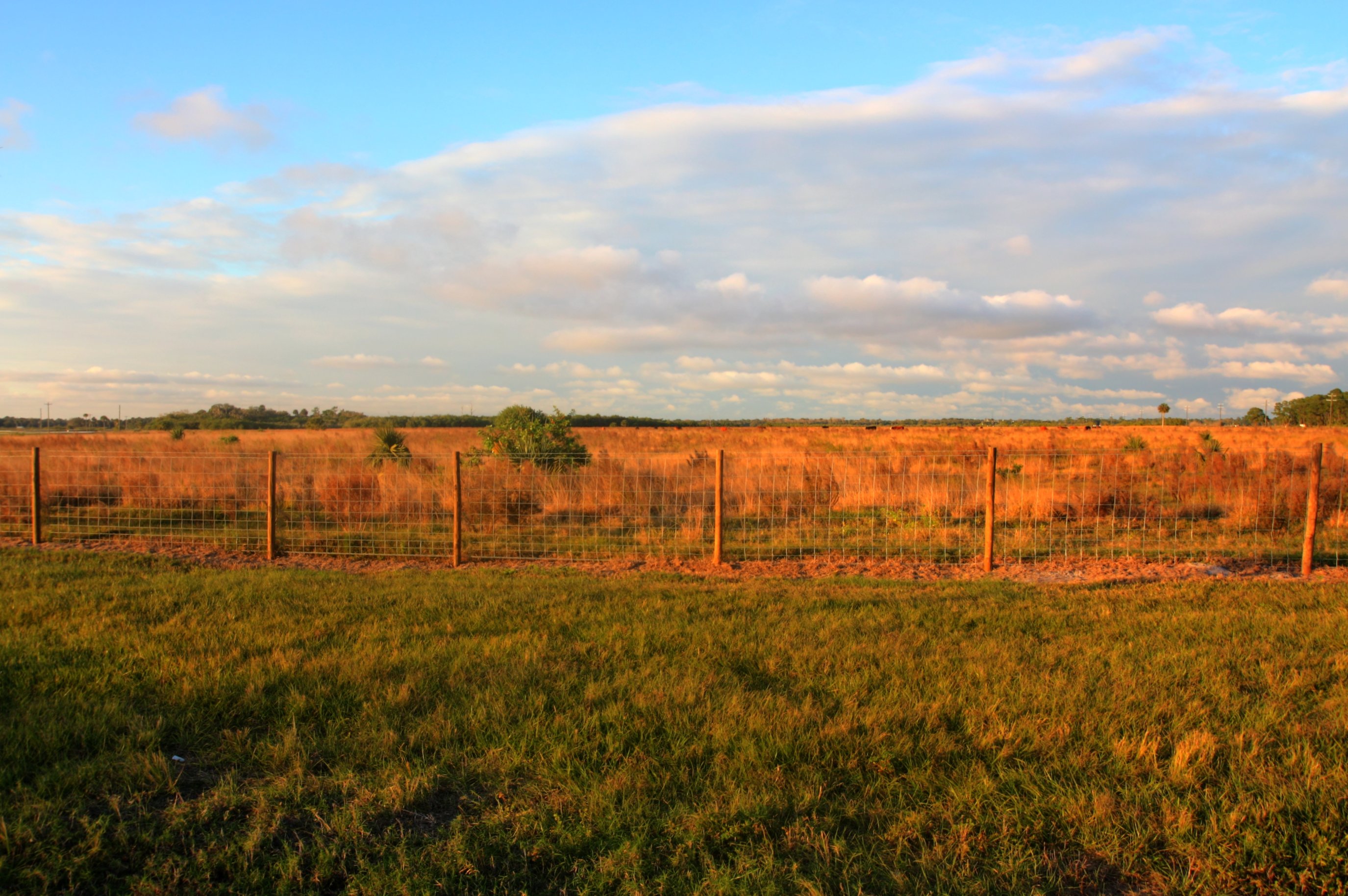
Ranch Near Taylor Creek

Taylor Creek

Ranch Near Taylor Creek

Guns and Beef, South FL 2012

Stop and Bullet Holes, South FL 2012 #2

Taylor Creek

Taylor Creek

Today's End

After a Day of Rain MVC-411X

Commelina diffusa

End of the Tunnel

Twin Palms, A Sunset Silhouette

Okeechobee Sunset

CAC018158a.jpg
Topographic Map of Okeechobee, FL, USA
Find elevation by address:

Places in Okeechobee, FL, USA:
Places near Okeechobee, FL, USA:
Okeechobee County
7619 Nw 96th Ct
County Road 68
NW 58th Ln, Okeechobee, FL, USA
17060 Nw 38th Ave
1232 Hillard Rd
3934 Nw 29th Ave
NW 28th Ave, Okeechobee, FL, USA
3573 Nw 29th Ave
1356 Ne 131st Ln
NW 10th Ave, Okeechobee, FL, USA
Okeechobee County Airport-obe
6876 Nw 154th Ave
6605 Nw 154th Ave
15045 Nw 56th St
304 Sw 87th Terrace
NE th St, Okeechobee, FL, USA
Raulerson Hospital: Emergency Room
NE th St, Okeechobee, FL, USA
3025 Ne 52nd Dr
Recent Searches:
- Elevation of Fern Rd, Whitmore, CA, USA
- Elevation of 62 Abbey St, Marshfield, MA, USA
- Elevation of Fernwood, Bradenton, FL, USA
- Elevation of Felindre, Swansea SA5 7LU, UK
- Elevation of Leyte Industrial Development Estate, Isabel, Leyte, Philippines
- Elevation of W Granada St, Tampa, FL, USA
- Elevation of Pykes Down, Ivybridge PL21 0BY, UK
- Elevation of Jalan Senandin, Lutong, Miri, Sarawak, Malaysia
- Elevation of Bilohirs'k
- Elevation of 30 Oak Lawn Dr, Barkhamsted, CT, USA