Elevation of Okaihau, New Zealand
Location: New Zealand > Northland >
Longitude: 173.770272
Latitude: -35.320734
Elevation: 240m / 787feet
Barometric Pressure: 98KPa
Elevation Map:
Satellite Map:
Related Photos:

Skyzone Bay of Island plane taking off at Kerikeri Airport
Skyzone Bay of Island plane taking off at Kerikeri Airport

DSC_3594.jpg
Kaikohe Hill sunrise
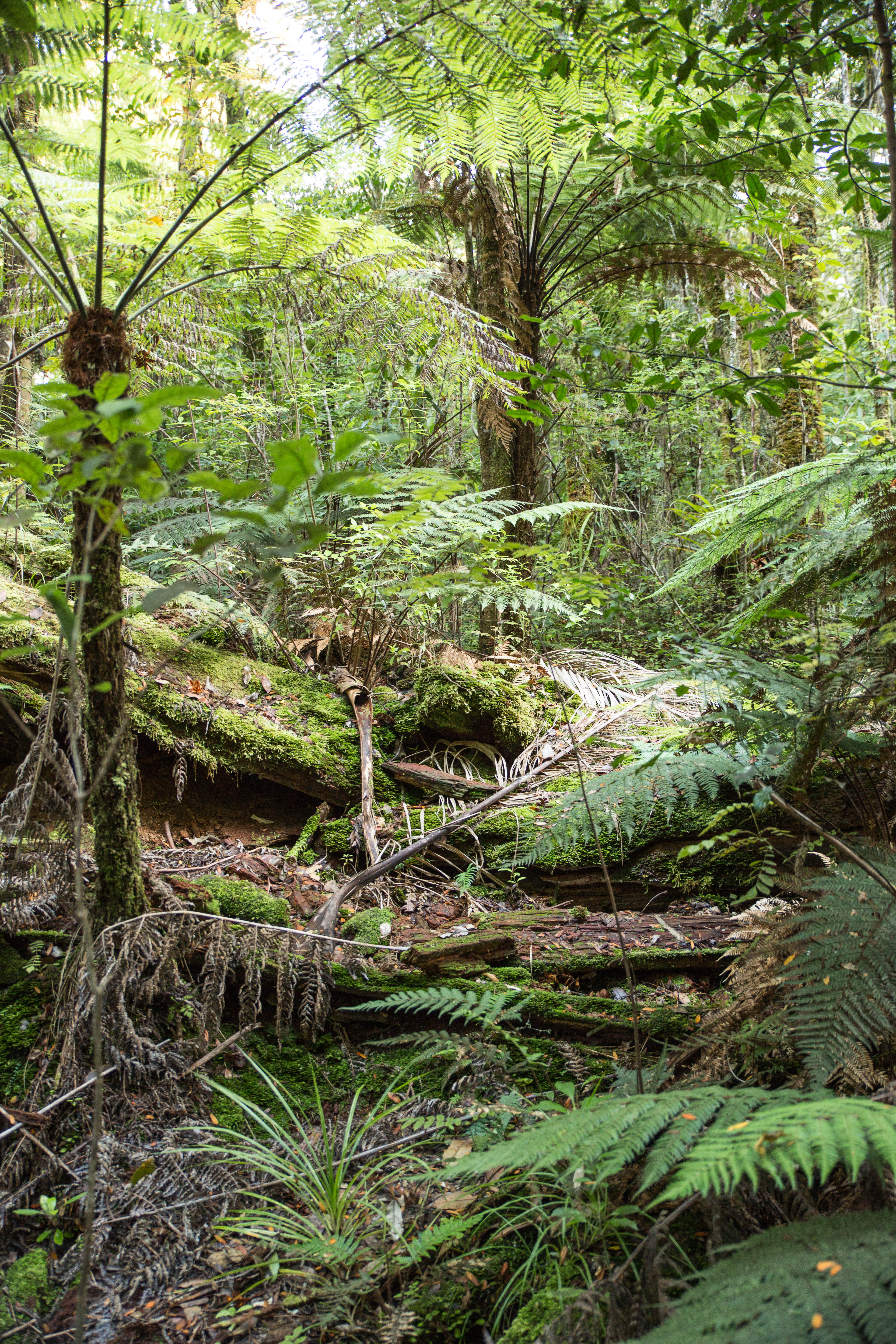
Agathis australis, Whatamakere (fallen), Omahuta Kauri Sanctuary, Omahuta Forest Sanctuary, Far North District, Northland, New Zealand, Paul Aughey 1

DSC_3490.jpg
Christmas dinner at Waitaheke Farm

DSC_3546.jpg
AN5D0079.jpg

DSC_3513.jpg

DSC_3512.jpg
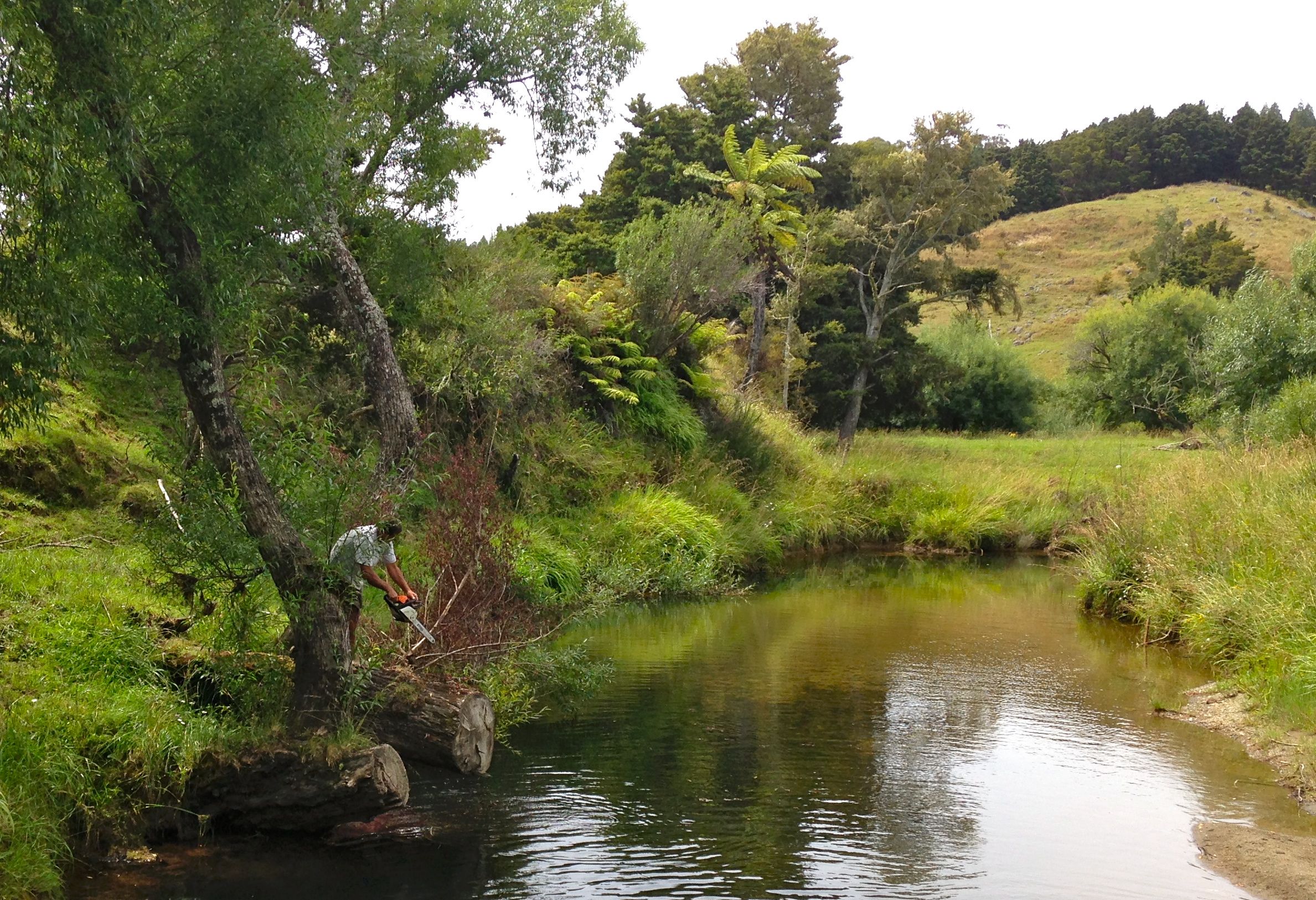
Picnic by the river

Down to the Bay of Islands
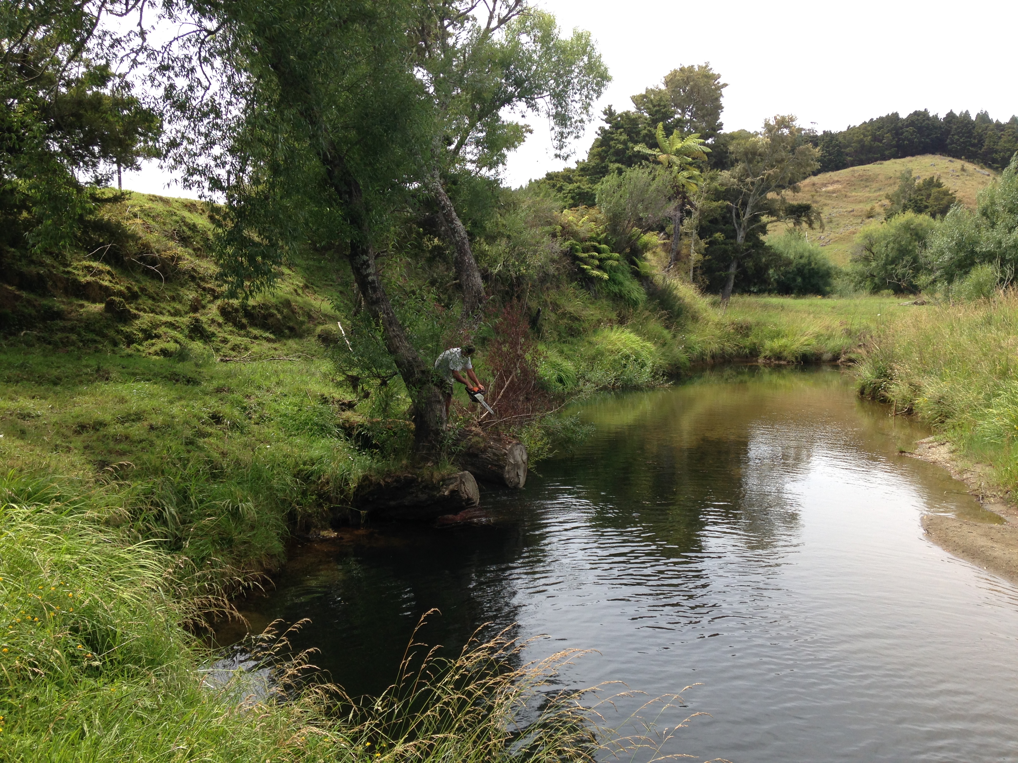
The perfect picnic spot

DSC_3492.jpg
Topographic Map of Okaihau, New Zealand
Find elevation by address:

Places near Okaihau, New Zealand:
6 Michie St
200 Imms Rd
247 Showground Road
294 Showground Road
296 Showground Road
Waimate North
Kerikeri
24 Fairway Dr
2 St Andrews Pl
21 Purerua Road
21 Purerua Road
11 Alderton Drive
Northland
156 West Coast Road
Kohukohu
929 Waimatenui Road
Oue
Nukutawhiti
509 Opara Road
Russell
Recent Searches:
- Elevation of 15th Ave SE, St. Petersburg, FL, USA
- Elevation of Beall Road, Beall Rd, Florida, USA
- Elevation of Leguwa, Nepal
- Elevation of County Rd, Enterprise, AL, USA
- Elevation of Kolchuginsky District, Vladimir Oblast, Russia
- Elevation of Shustino, Vladimir Oblast, Russia
- Elevation of Lampiasi St, Sarasota, FL, USA
- Elevation of Elwyn Dr, Roanoke Rapids, NC, USA
- Elevation of Congressional Dr, Stevensville, MD, USA
- Elevation of Bellview Rd, McLean, VA, USA