Elevation of OH-, Hillsboro, OH, USA
Location: United States > Ohio > Highland County > Liberty Township >
Longitude: -83.671733
Latitude: 39.2327847
Elevation: 352m / 1155feet
Barometric Pressure: 97KPa
Elevation Map:
Satellite Map:
Related Photos:

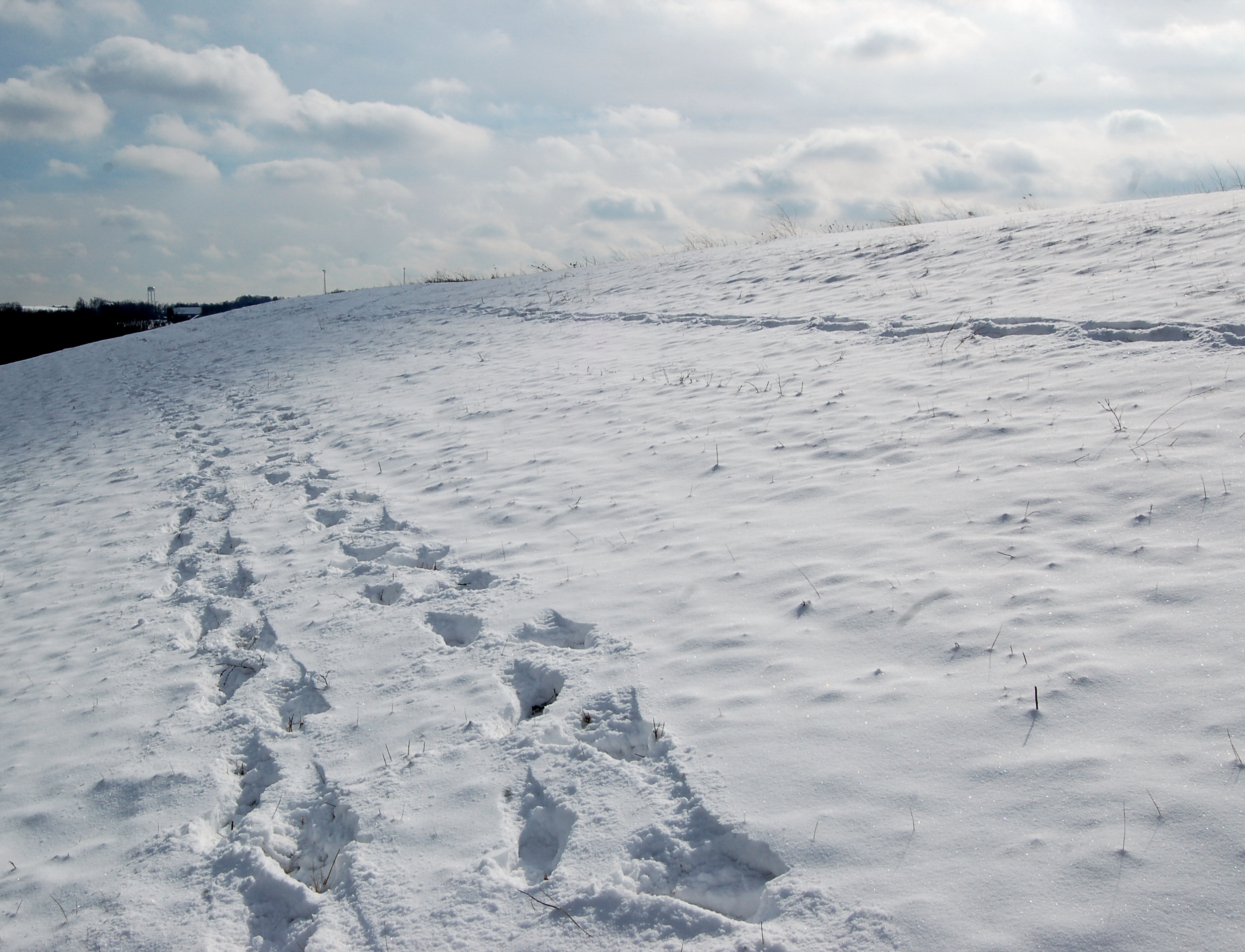
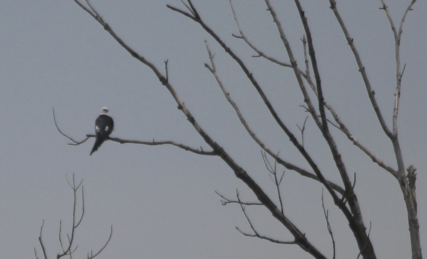
Winter Robin
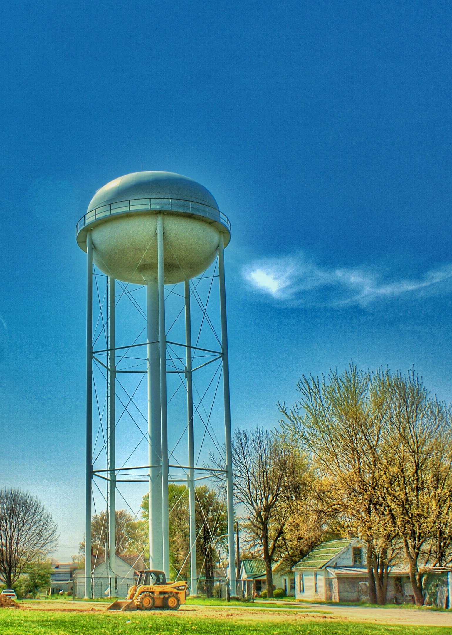
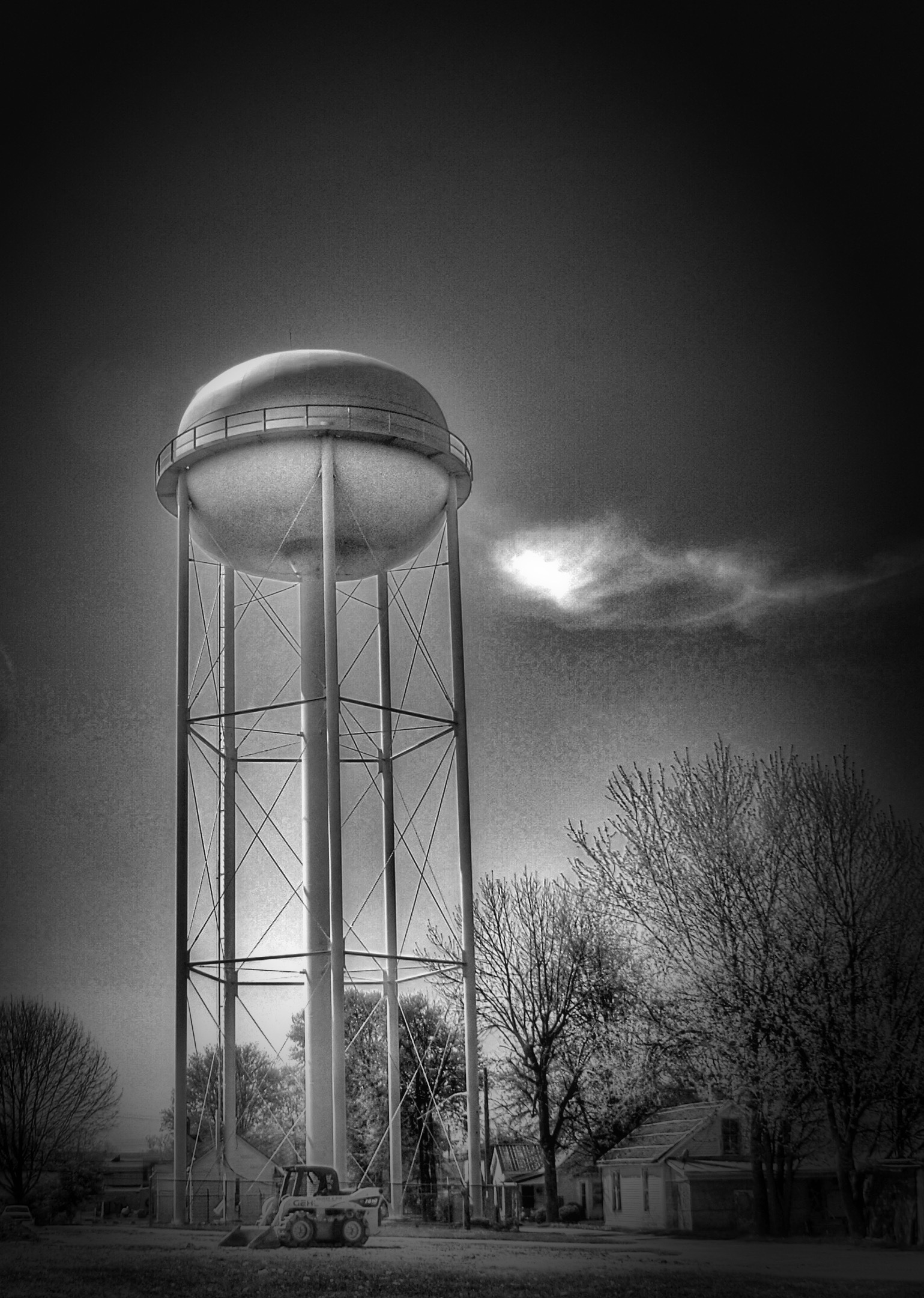
Dodsonville, Ohio

Winter Robin
Retracing steps

Sunset Robin 5

Rocky Fork Lake
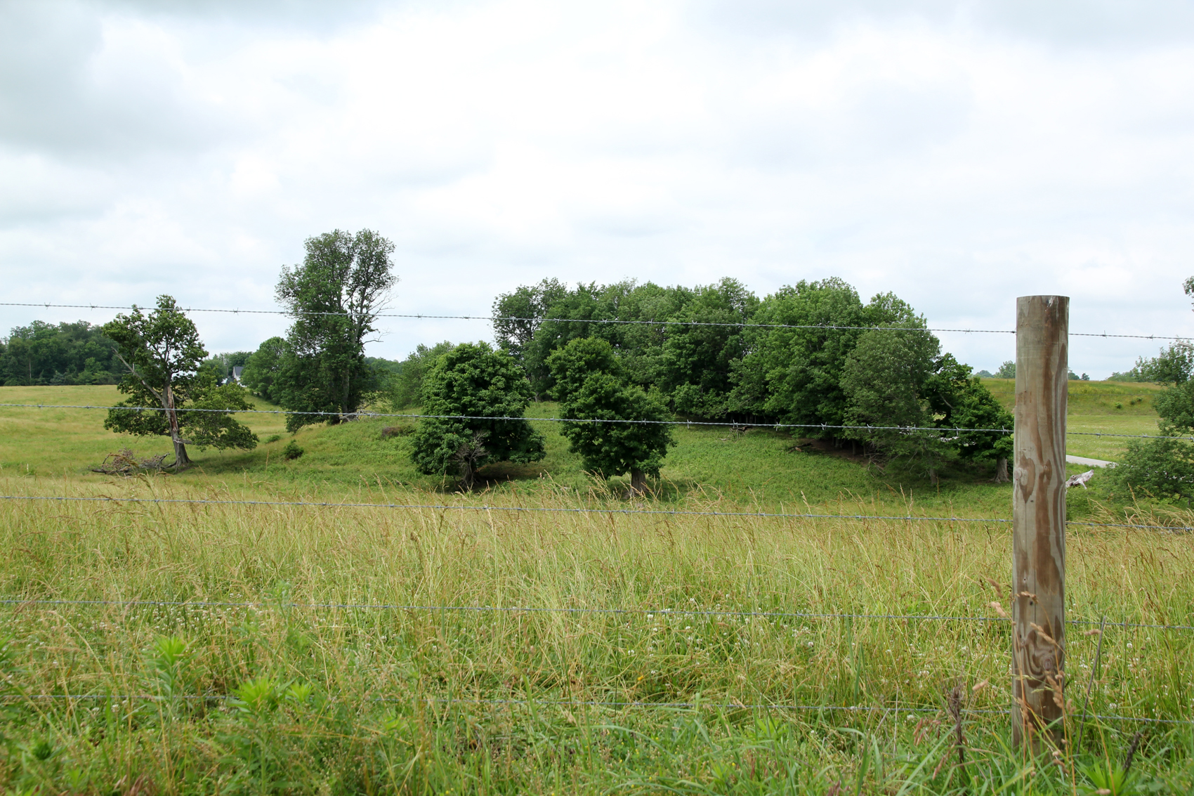
Landscape — Fairfield Township, Highland County, OH

Janet Widman
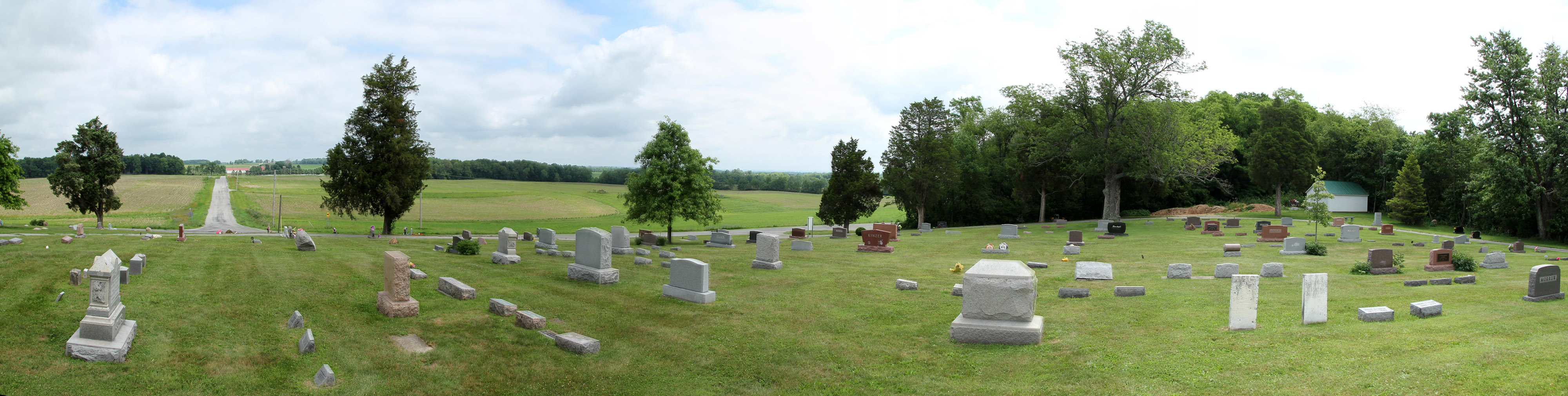
Hightop Cemetery — Penn Township, Highland County, OH
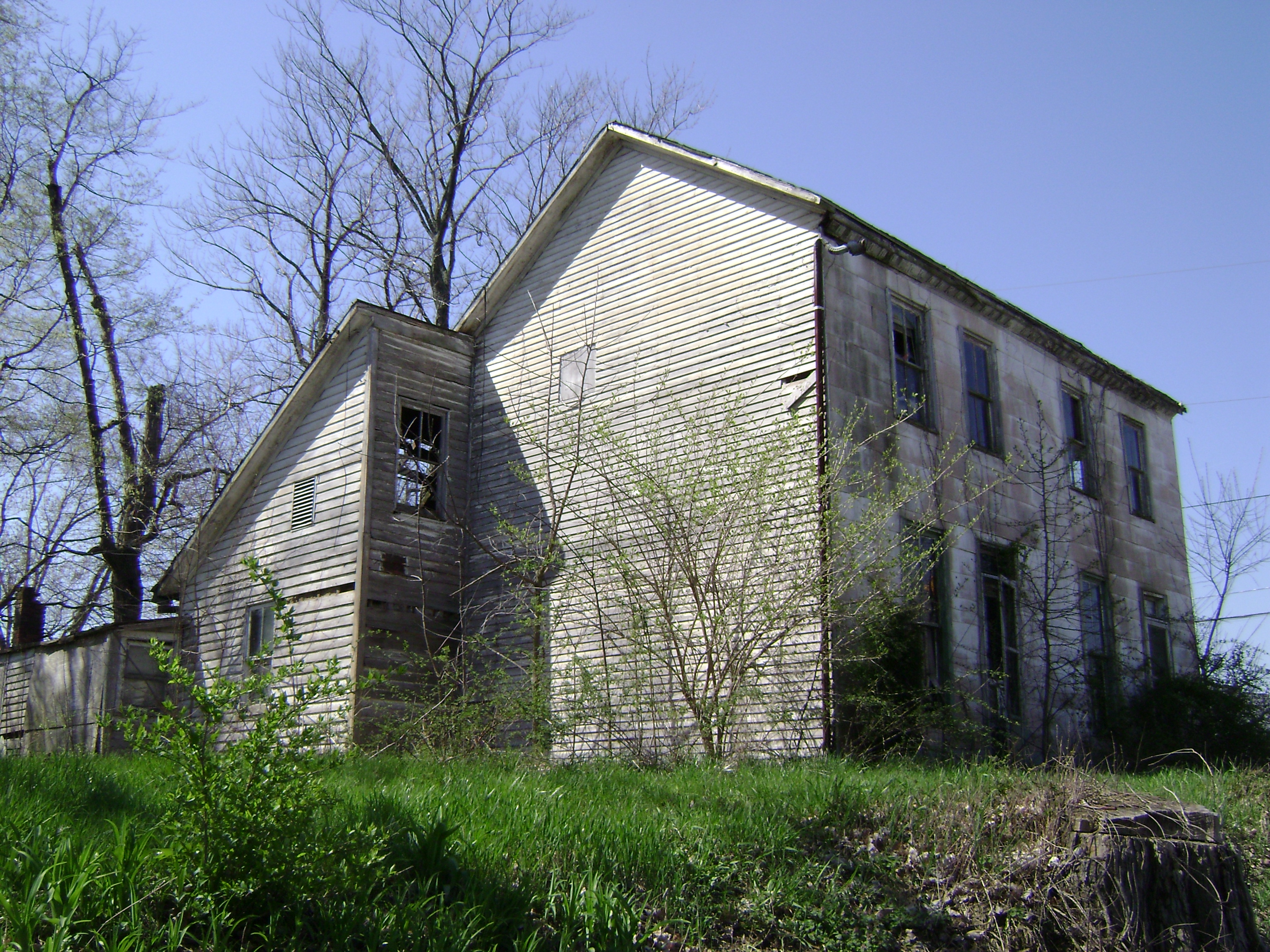
IMG_7677.JPG
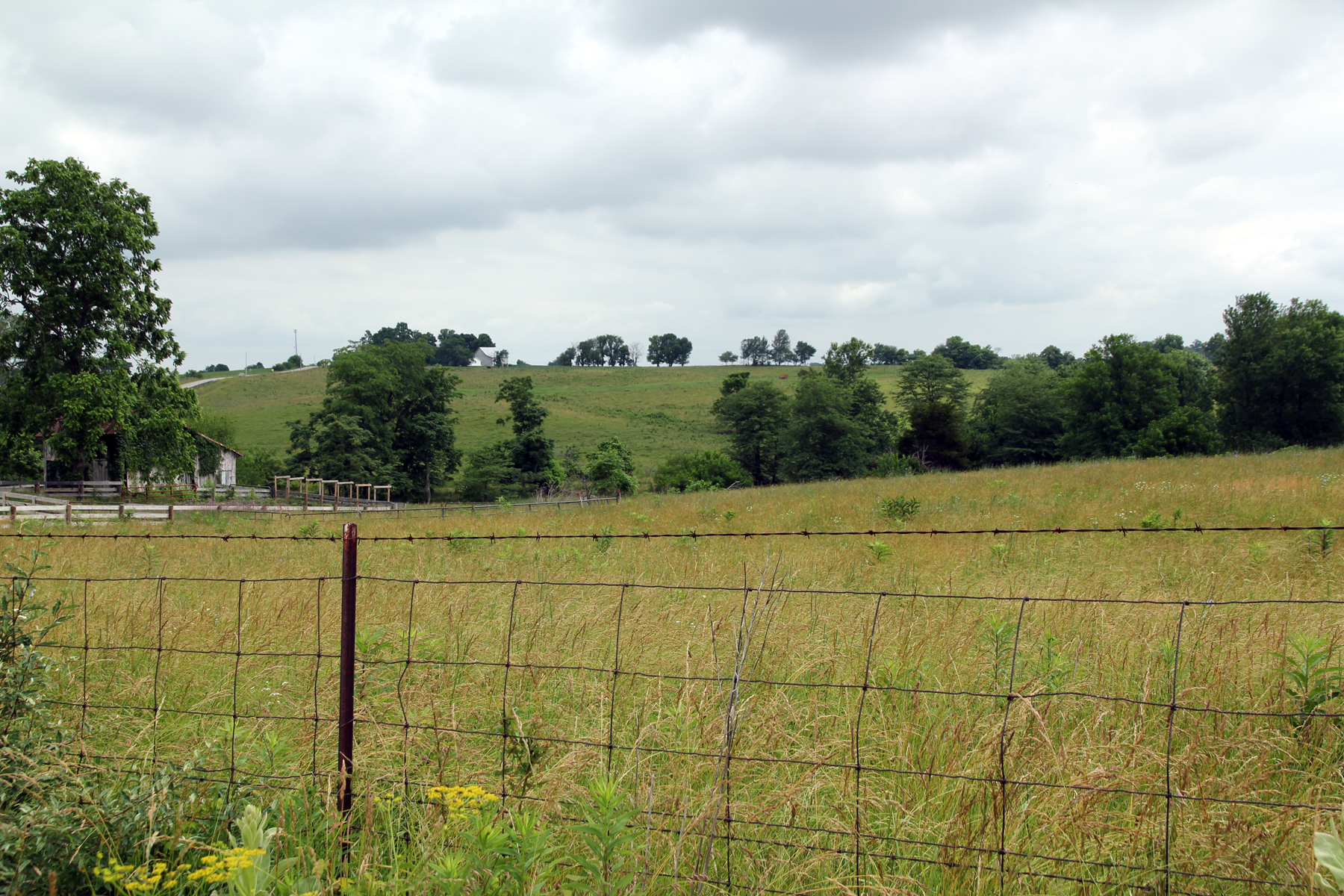
Landscape — Fairfield Township, Highland County, OH

Ralph Widman
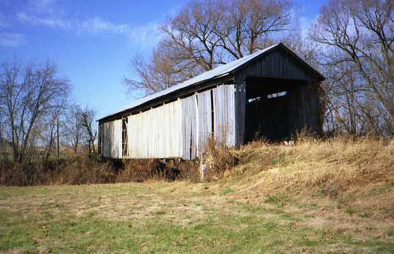
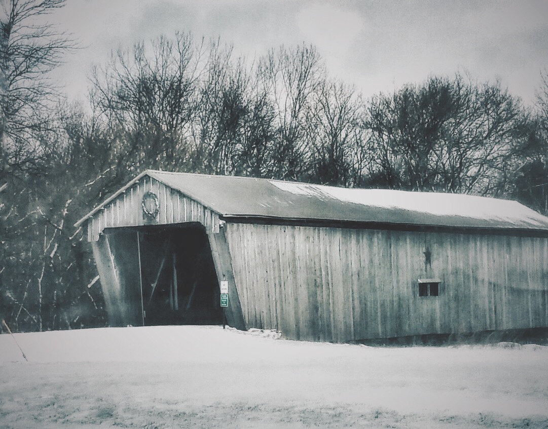
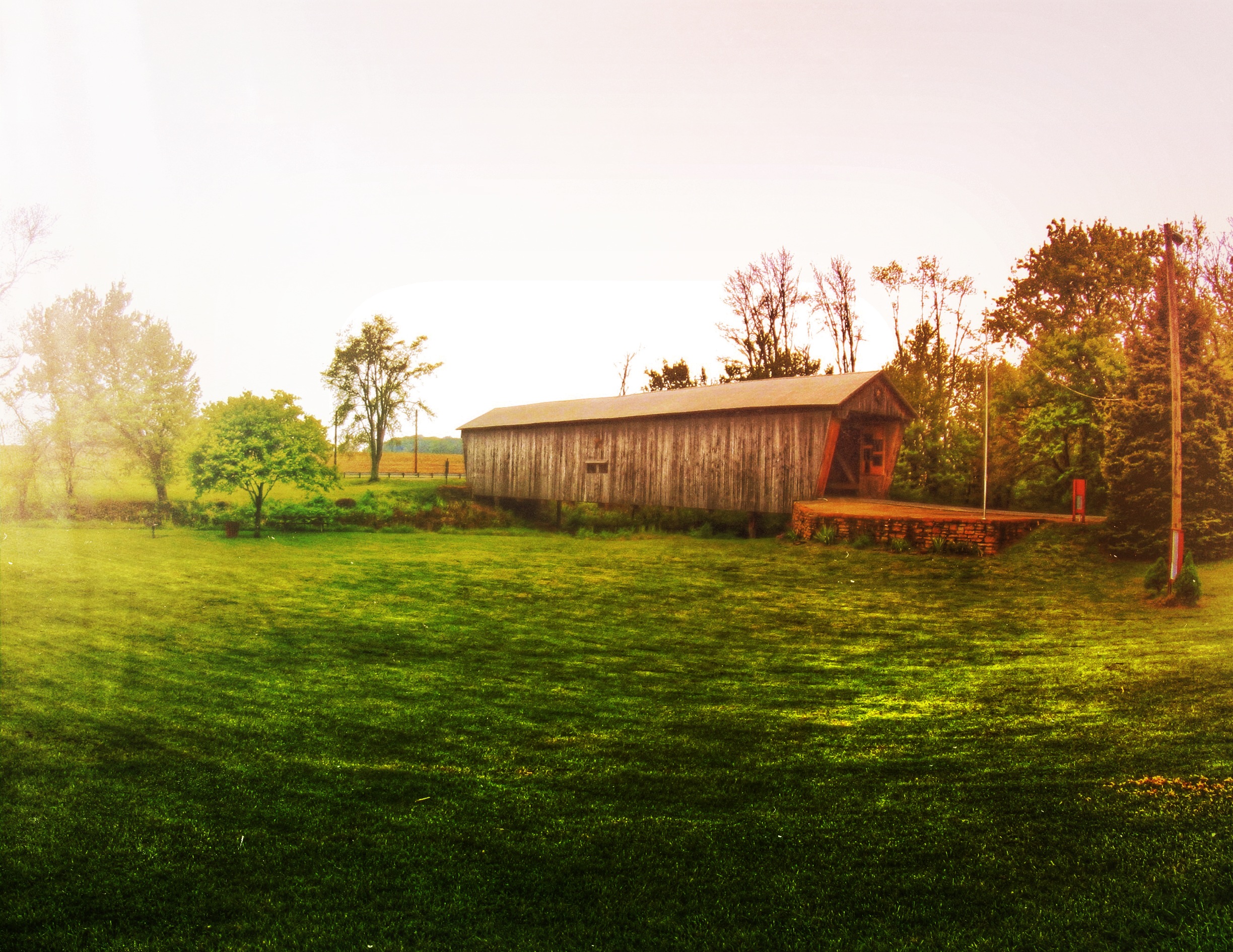
Lynchburg Bridge, southeast view
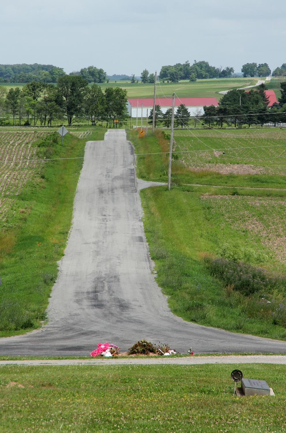
Jones Road — Penn Township, Highland County, OH
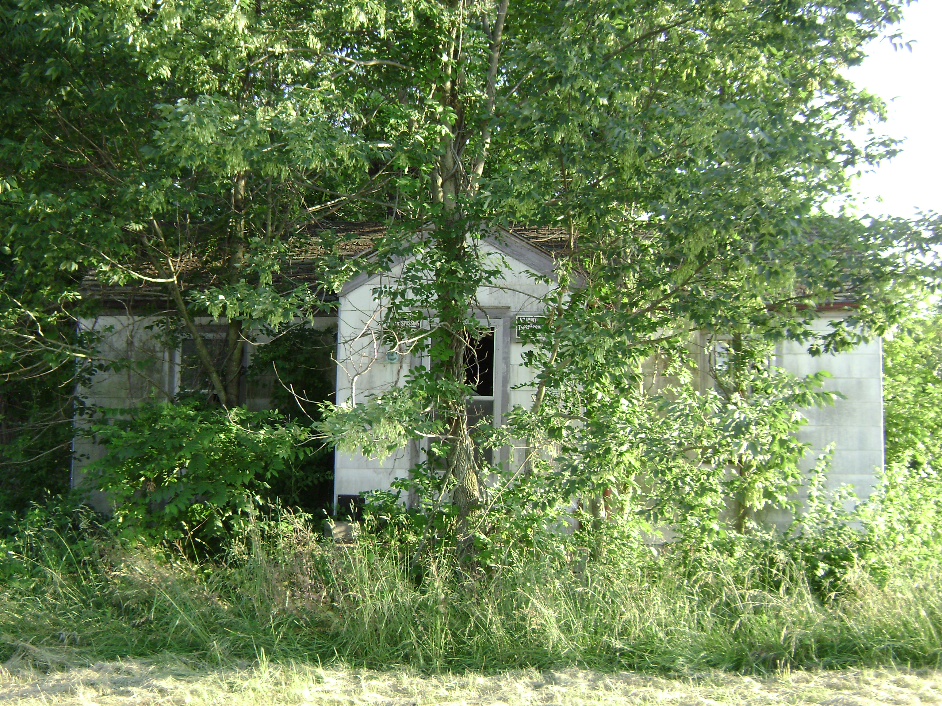
Webertown, Ohio
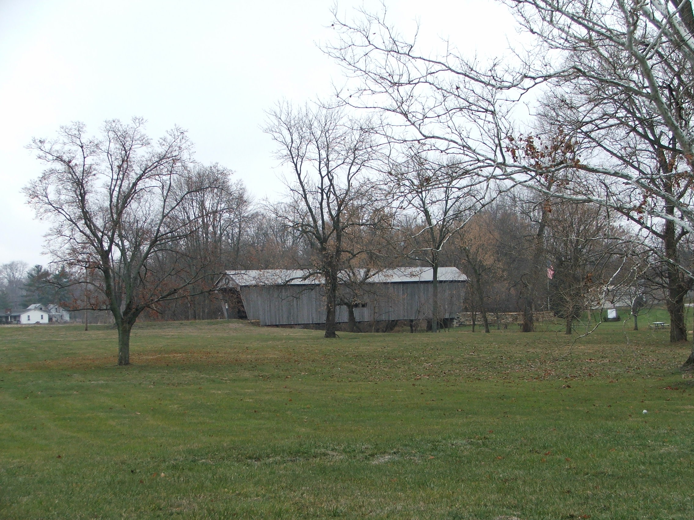
Lynchburg Bridge, side view

Swallow-tailed Kite

Swallow-tailed Kite
Swallow-tailed Kite
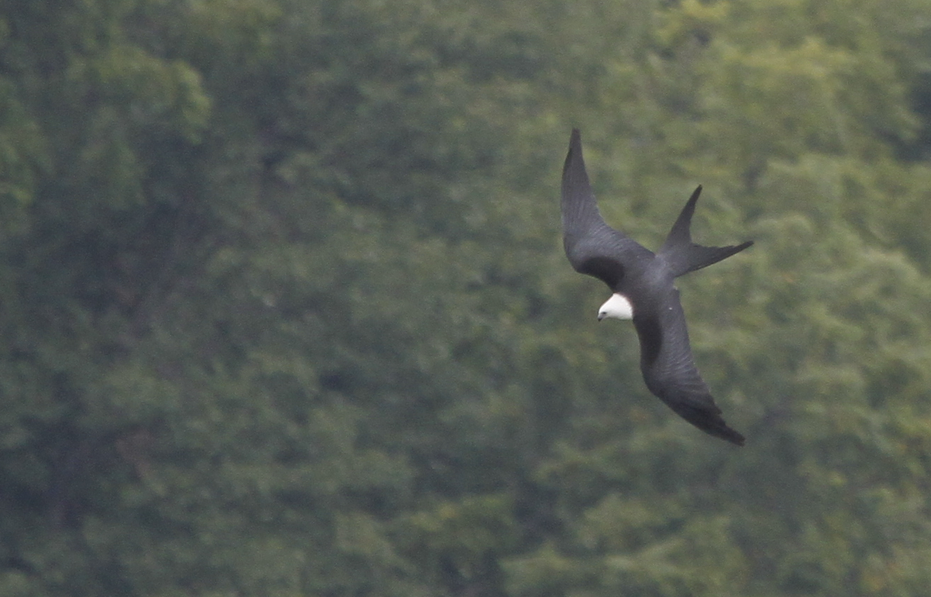
Swallow-tailed Kite
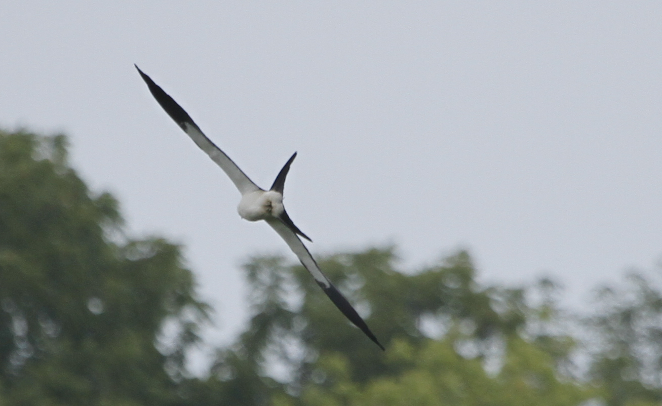
Swallow-tailed Kite

IMG_7484.JPG

IMG_8960.JPG

Welcome To Fallsville

IMG_7486.JPG

IMG_7662.JPG

IMG_4117.JPG

IMG_5693.JPG

IMG_4881.JPG

IMG_1752.JPG
IMG_8004.JPG

IMG_5692.JPG

IMG_2164.JPG

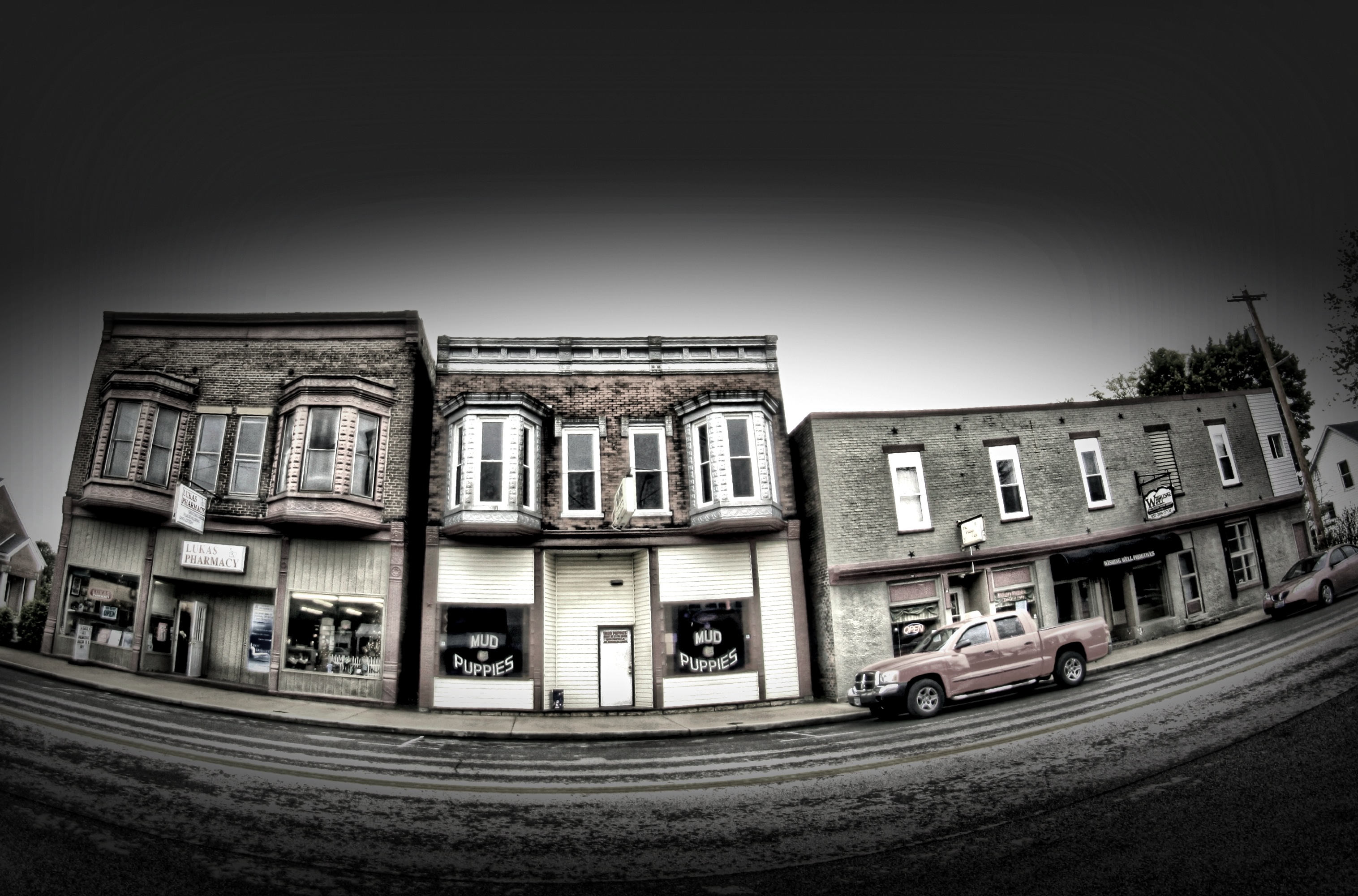
Ohio Back Road

IMG_8851.JPG
Explored (9.12.2014)

IMG_2717.JPG
IMG_8006.JPG

IMG_2719.JPG
IMG_1798.JPG
IMG_7951.JPG

IMG_1941.JPG
Topographic Map of OH-, Hillsboro, OH, USA
Find elevation by address:

Places near OH-, Hillsboro, OH, USA:
7603 Diven Rd
7581 Diven Rd
6605 Roundhead Rd
7580 Evans Rd
Liberty Township
Hillsboro
Penn Township
Gist Settlement Rd, New Vienna, OH, USA
9196 Black Rabbit Rd
12625 Oh-72
Leesburg
Highland County
S R, Leesburg, OH, USA
Fairfield Township
10491 Pausch Rd
Paint Township
S R, Greenfield, OH, USA
Madison Township
10415 Winegar Rd
Paint Creek Lake
Recent Searches:
- Elevation of Rojo Ct, Atascadero, CA, USA
- Elevation of Flagstaff Drive, Flagstaff Dr, North Carolina, USA
- Elevation of Avery Ln, Lakeland, FL, USA
- Elevation of Woolwine, VA, USA
- Elevation of Lumagwas Diversified Farmers Multi-Purpose Cooperative, Lumagwas, Adtuyon, RV32+MH7, Pangantucan, Bukidnon, Philippines
- Elevation of Homestead Ridge, New Braunfels, TX, USA
- Elevation of Orchard Road, Orchard Rd, Marlborough, NY, USA
- Elevation of 12 Hutchinson Woods Dr, Fletcher, NC, USA
- Elevation of Holloway Ave, San Francisco, CA, USA
- Elevation of Norfolk, NY, USA