Elevation of OH-, Bethel, OH, USA
Location: United States > Ohio > Clermont County >
Longitude: -84.094155
Latitude: 38.92966
Elevation: 280m / 919feet
Barometric Pressure: 98KPa
Elevation Map:
Satellite Map:
Related Photos:

TrackHead Studios - Selfie

Raccoon GIF

Snow Bunting
Bantam, Ohio
Felicity, Ohio

Neville, Ohio

RING-BILLED GULL

Red-Necked Grebe

Red-Necked Grebe
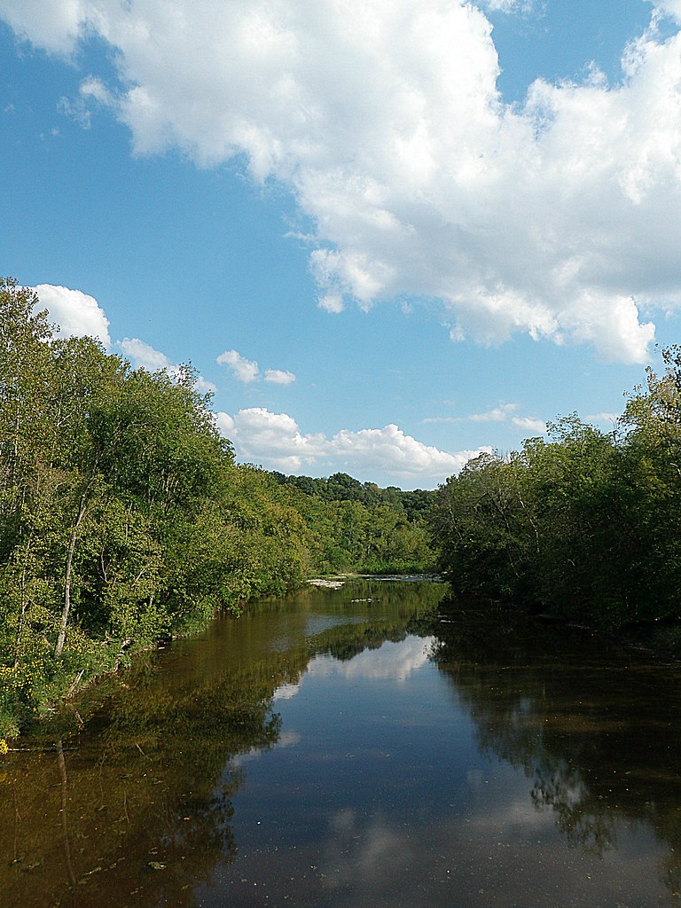
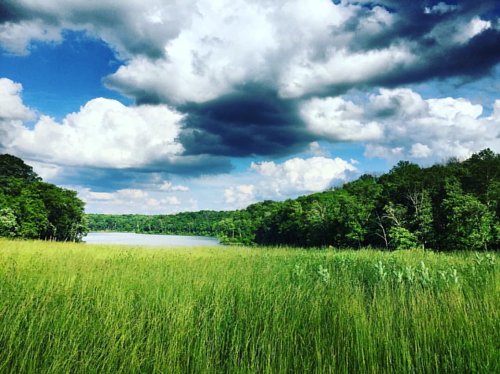
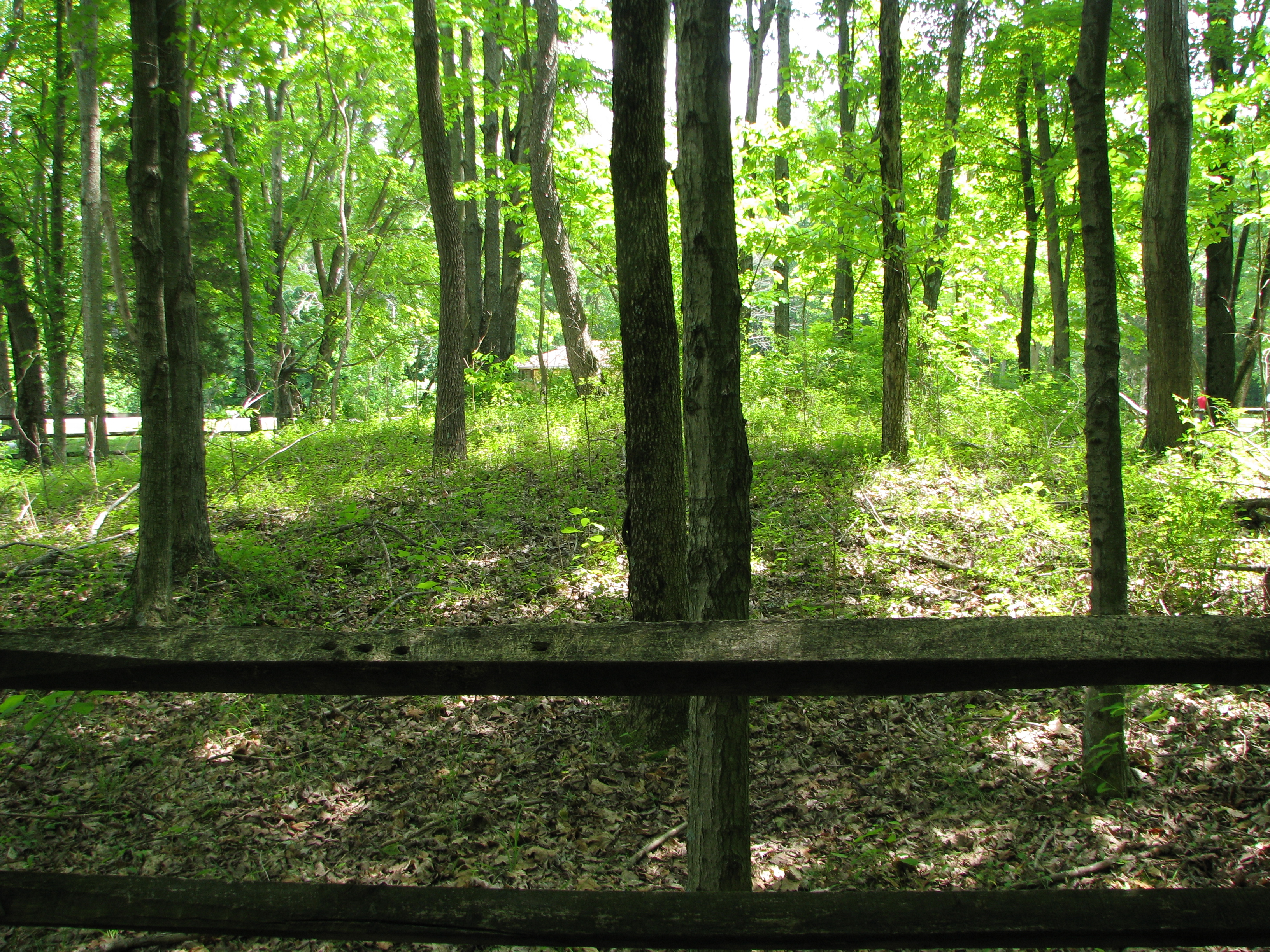
White Oak Valley.
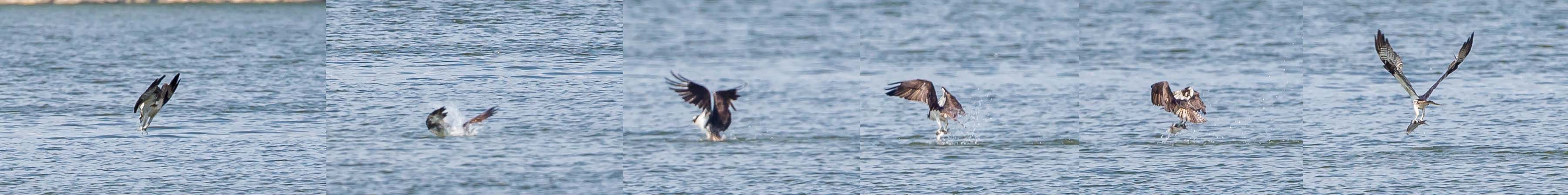
OSPREY DIVES FOR FISH

TREE SWALLOWS

Another walk to this great view [HDR]

PURPLE SANDPIPER at EAST FORK STATE PARK, BANTAM, OHIO OCTOBER 26, 2013

BARRED OWL

SNOW GOOSE
Another walk to this great view

PRAIRIE WARBLER
AMERICAN BALD EAGLES - 2 ADULTS
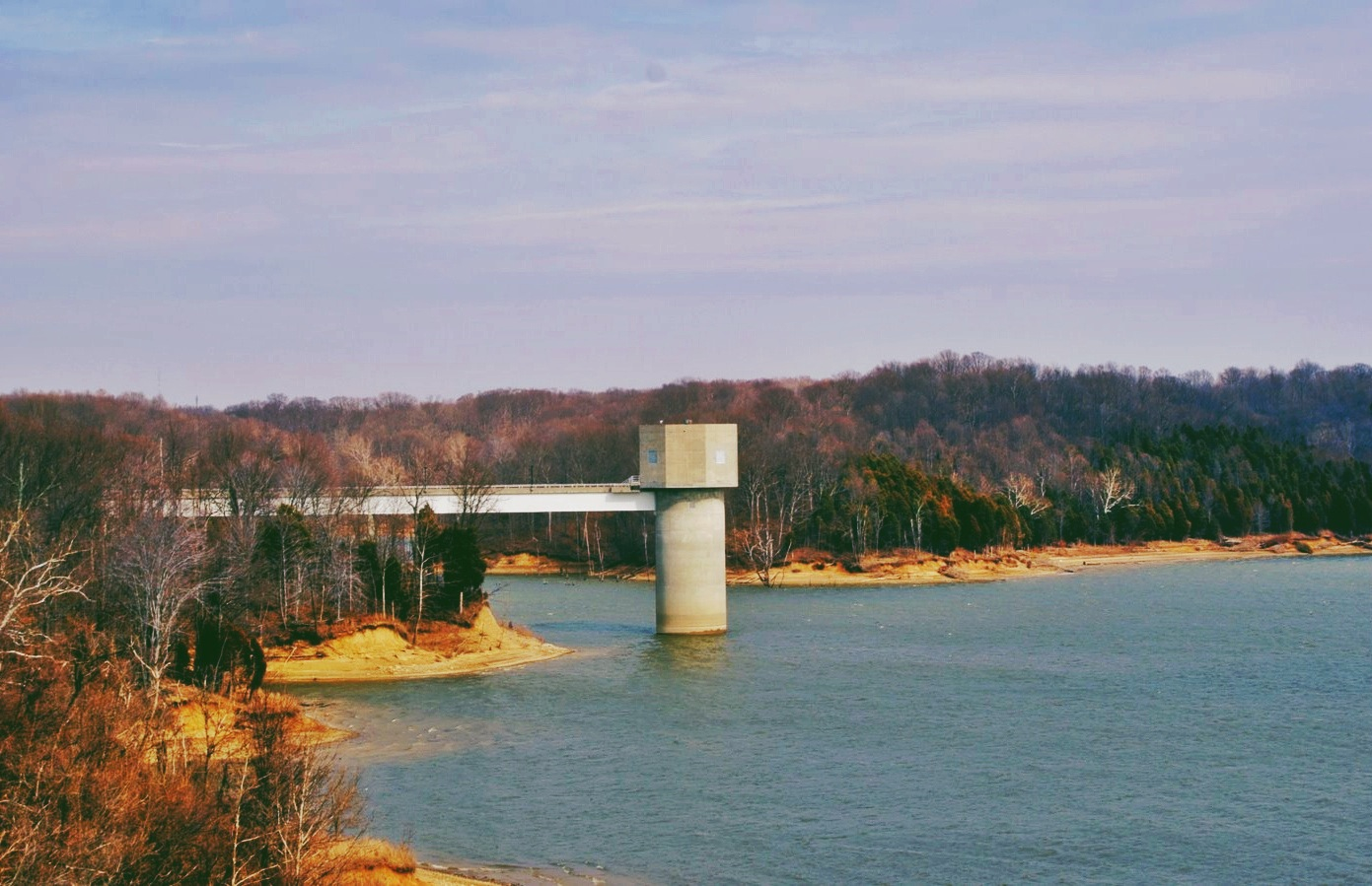
Crooked Run Estuary

RING-BILLED GULL

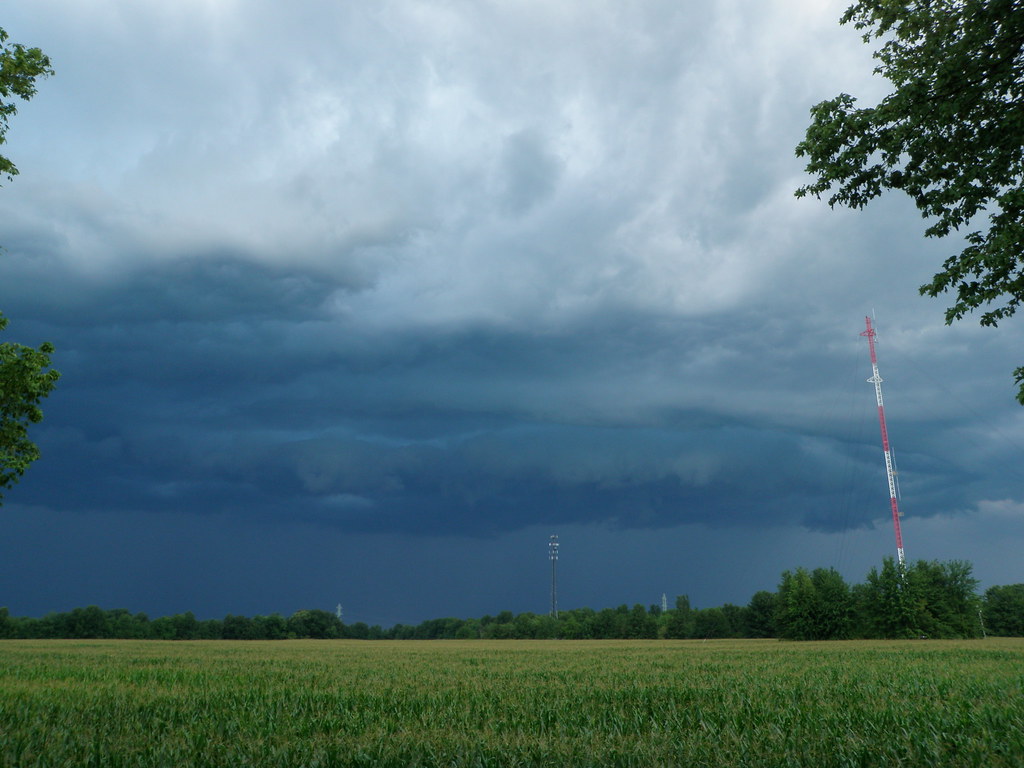
Fog Mirror
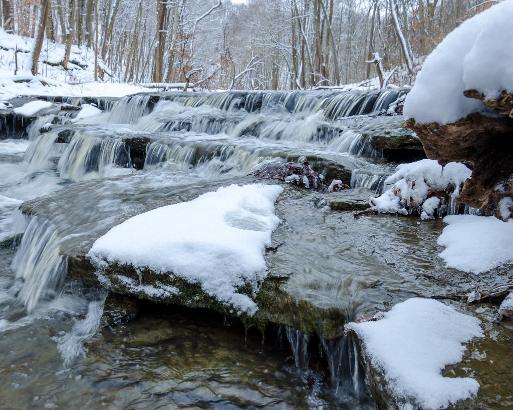
8-22-14, Ulrey Run. EXPLORE 11-16-2014

Morning Reflections

"Barn and Sky". 7-14-2014, near Felicity, Ohio.

sunset 4913
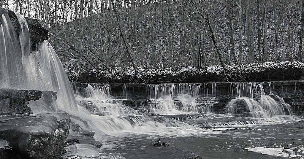
Bullskin Creek, Black and White HDR
#nature #ohio #lake
East Fork
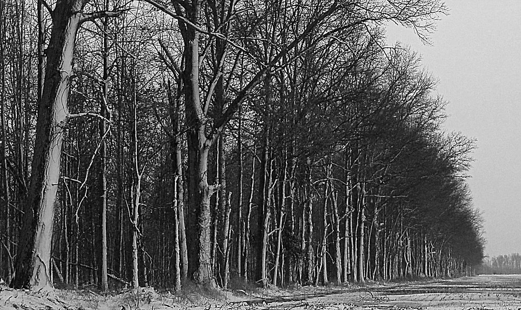
Tree Line, 3-7-2013
East Fork State Park

Sunset Flight.

Dusk 2

Sunrise, 3-21-2014. EXPLORE,3-23-2014.

Yellow, Blue, and Green.

First official RAW photos.
DSC_0079.jpg

First official RAW photos.
Here it comes!

First official RAW photos.
IMG_1830.JPG
Topographic Map of OH-, Bethel, OH, USA
Find elevation by address:

Places near OH-, Bethel, OH, USA:
1975 Oh-133
Tate Township
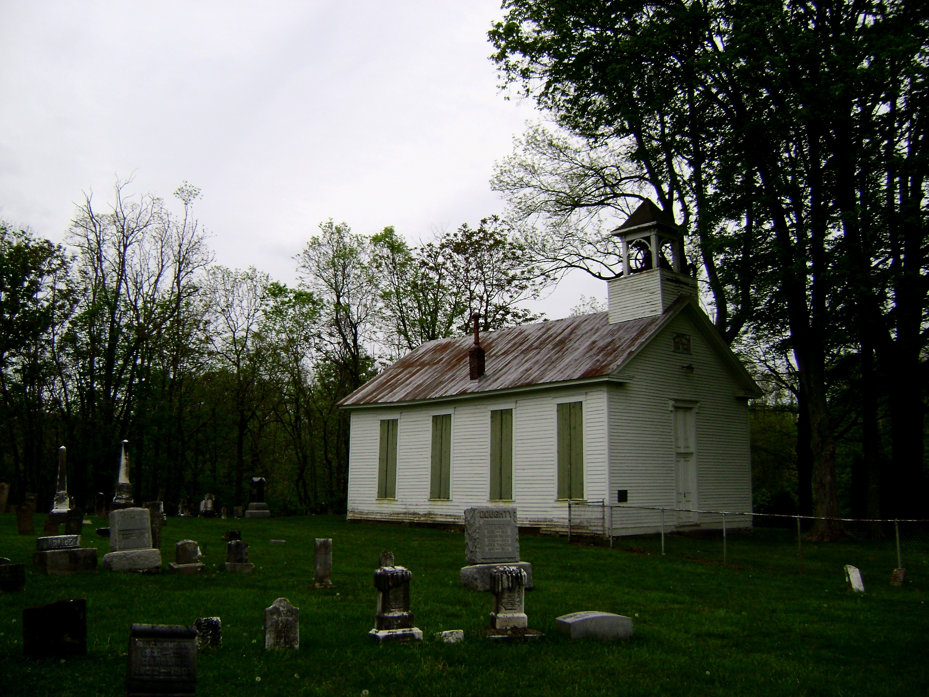
Bethel Cemetery
Bethel
OH-, Bethel, OH, USA
Bees Run Rd, Moscow, OH, USA
Bethel, OH, USA
Feesburg-Poetown Rd, Hamersville, OH, USA
Washington Township
OH-, New Richmond, OH, USA
Monroe Township
Musgrove Rd, Williamsburg, OH, USA
1915 W Hall Rd
1659 Oh-232
2056 Big Indian Rd
2058 Big Indian Rd
2048 Big Indian Rd
OH-, New Richmond, OH, USA
Point Pleasant Cemetery
1739 Us-52
Recent Searches:
- Elevation of W Granada St, Tampa, FL, USA
- Elevation of Pykes Down, Ivybridge PL21 0BY, UK
- Elevation of Jalan Senandin, Lutong, Miri, Sarawak, Malaysia
- Elevation of Bilohirs'k
- Elevation of 30 Oak Lawn Dr, Barkhamsted, CT, USA
- Elevation of Luther Road, Luther Rd, Auburn, CA, USA
- Elevation of Unnamed Road, Respublika Severnaya Osetiya — Alaniya, Russia
- Elevation of Verkhny Fiagdon, North Ossetia–Alania Republic, Russia
- Elevation of F. Viola Hiway, San Rafael, Bulacan, Philippines
- Elevation of Herbage Dr, Gulfport, MS, USA